







Zuoz-S-chanf-Alp Griatschouls-Zuoz

Poziom trudności: S0
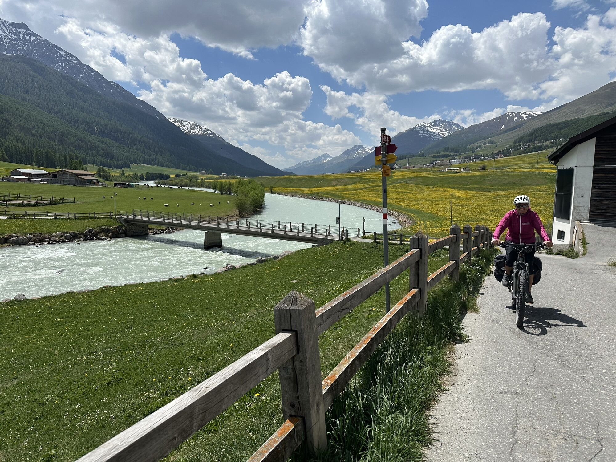
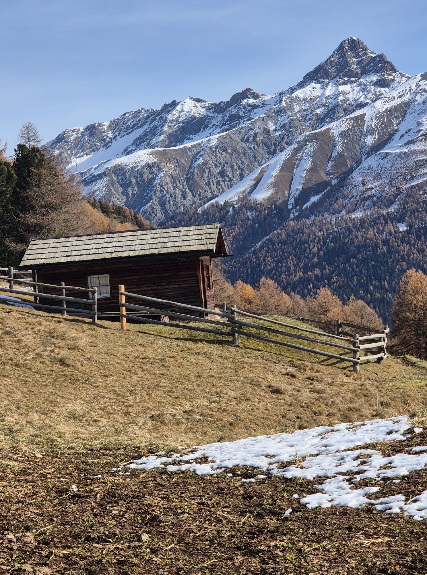
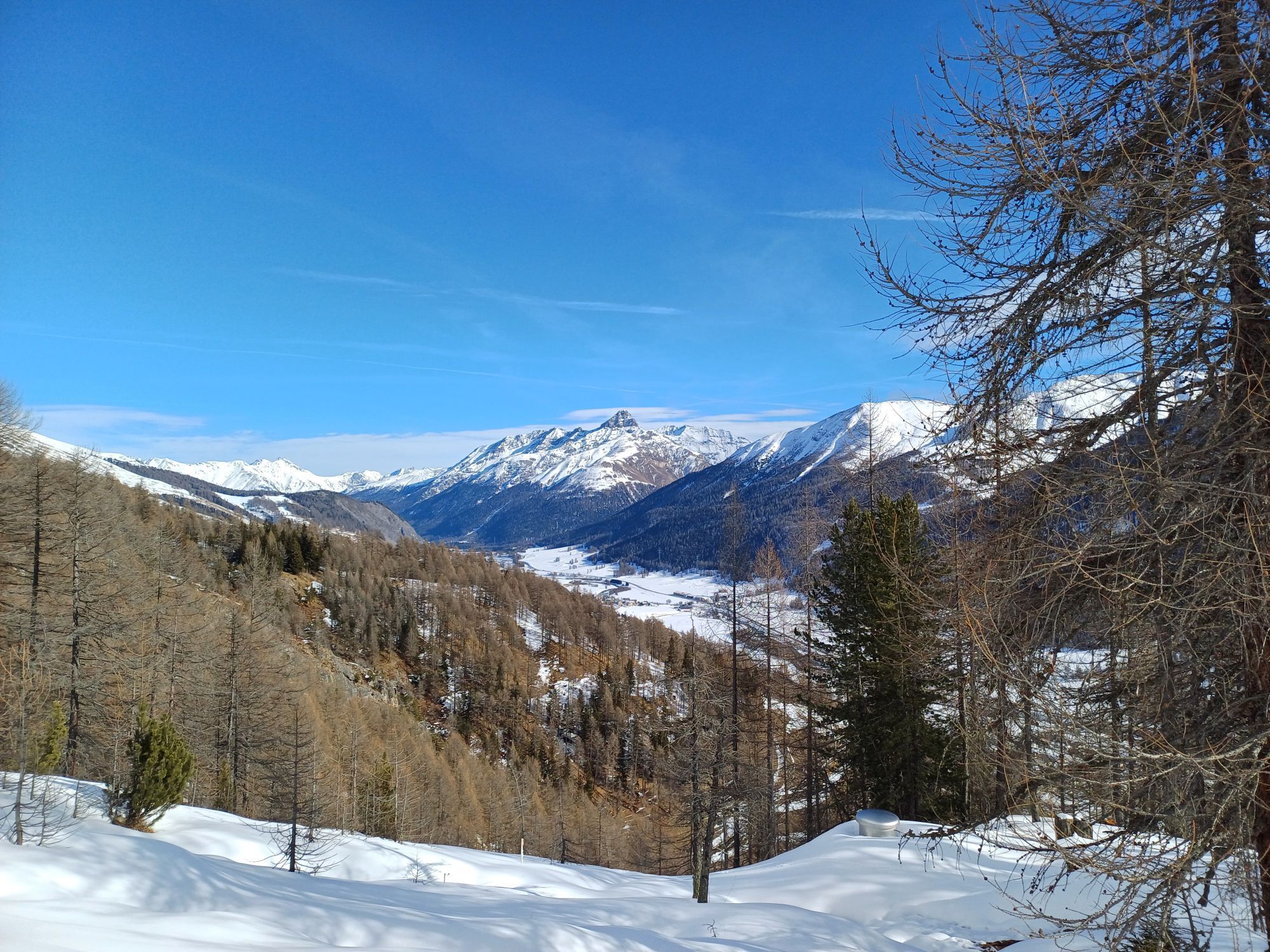
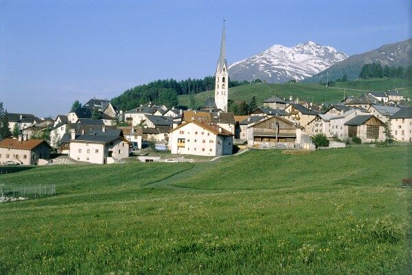
This circular route through the lower part of the Upper Engadin starts in the picturesque Engadin village of Zuoz. On the right side of the valley, the cycle path follows the Inn river to S-chanf. There...
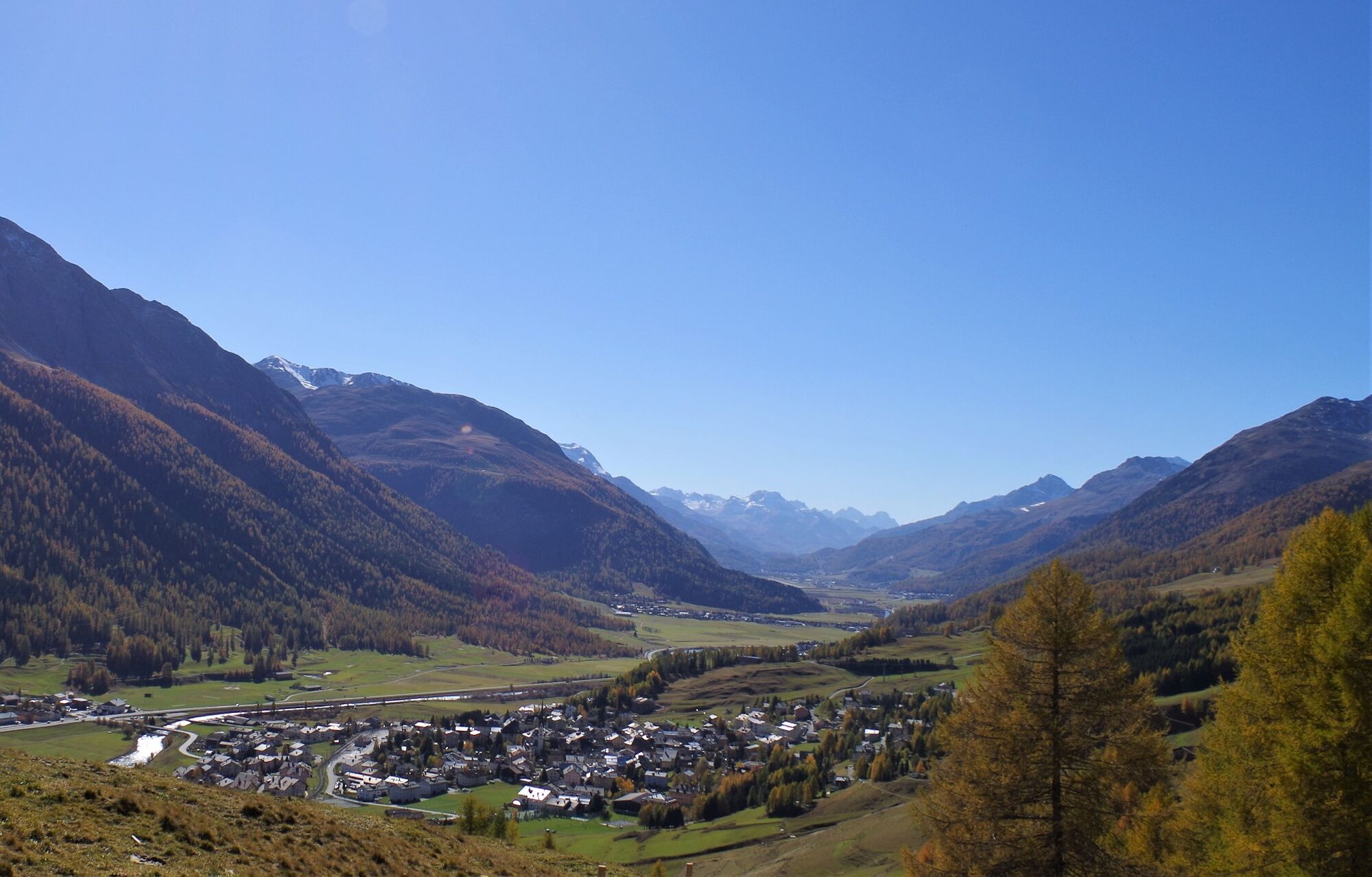
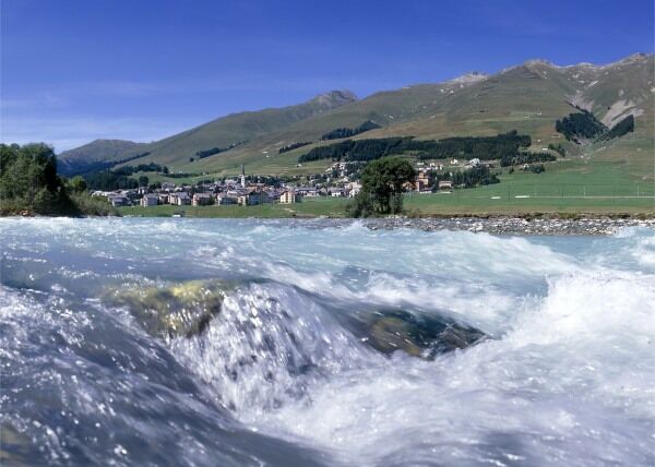
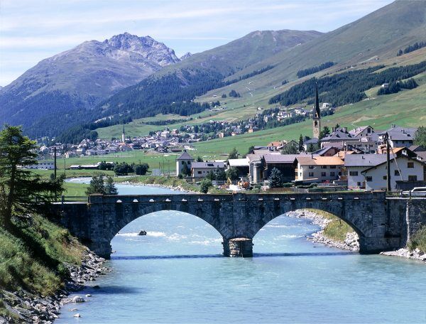
This circular route through the lower part of the Upper Engadin starts in the picturesque Engadin village of Zuoz. On the right side of the valley, the cycle path follows the Inn river to S-chanf. There the valley side changes, and shortly after S-chanf the bike path enters the forest. Just before Chapella, turn left and start the steady ascent through a beautiful old forest. At 2,165 m, the goal above the tree line is reached: Alp Griatschouls, where nature and peace surround you. Here you can let your gaze wander over the whole lower part of the Upper Engadin. From Alp Griatschouls you first follow the outbound path back, but then turn right in the direction of Zuoz: a great descent awaits you – and watch out: some sections must be ridden carefully. Near the Lyceum Alpin, you finally reach the Zuoz village center again.
Further information
Engadin St. Moritz Tourism AG
Via Maistra 1
CH-7500 St. Moritz
Phone: +41 81 830 00 01
E-mail: allegra@engadin.ch
Internet: www.engadin.ch


Zuoz - S-chanf - Alp Griatschouls - Zuoz
S0
Take a break at Acla Laret, one of the most beautiful viewpoints over the Engadin awaits you.


Popularne wycieczki w okolicy
-
4,9
Circular hike Val Trupchun in the Swiss National Park
średniWędrówka 13,8 km -
4,8
Panoramic route Muottas Muragl
światłoWędrówka 6,75 km -
5,0
Muottas Muragl - Segantini hut - Pontresina
średniWędrówka 6,46 km -
4,8
Alp Languard - Segantini Hut - Muottas Muragl
średniTrailrunning 6,45 km -
4,7
Fluela Schwarzhorn 3147 m
światłoWycieczka wysokogórska 7,34 km -
5,0
Lej Muragl
średniWędrówka 7,39 km -
5,0
National Park: Chamanna Cluozza
średniWędrówka 8,37 km -
5,0
Crap da la Pare' with Joëlette
światłoWędrówka 4,58 km -
Flüelapass – Schwarzhorn (return)
średniWędrówka 7,92 km -
5,0
National Park: Murtaröl
ciężkiWędrówka 15,6 km
Wędrówki i tropienie


Nie przegap ofert i inspiracji na następne wakacje
Twój adres e-mail została dodana do listy mailingowej.





