
Mittenberg Run
średni
Pobierz tę trasę na swój telefon komórkowy
Mittenberg Run
średni
Bieganie
4,90
km
Zeskanuj kod QR i rozpocznij nawigację w aplikacji bergfex.


Wędrówki i tropienie





Mittenberg Run
średni
Odległość
4,90
km
Czas trwania
00:59
h
Ascent
383
hm
Poziom morza
666 -
1 098
m
Ścieżka do pobrania
Mittenberg Run
średni
Bieganie
4,90
km
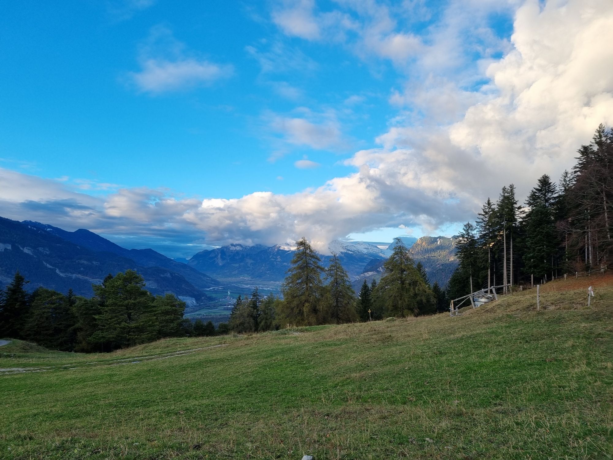
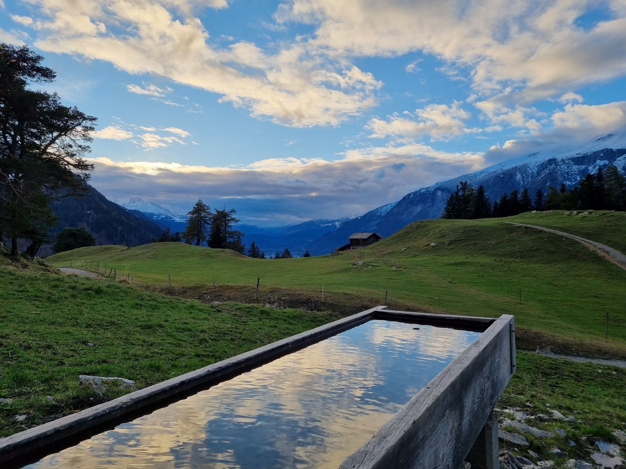
From Waldhausstall at Fürstenwald follow the forest road to Mittenberg at 1'100 meters. The track is signposted and the venue of the twice-yearly Mittenberg race. For the descent back there are different...
Opis
From Waldhausstall at Fürstenwald follow the forest road to Mittenberg at 1'100 meters. The track is signposted and the venue of the twice-yearly Mittenberg race. For the descent back there are different variants. Either follow the forest road back to Waldhausstall or one of the various trails back to the valley.
Trasa
Trasa
Mittenberg Run
średni
Bieganie
4,90
km

Nie ma jeszcze recenzji

Popularne wycieczki w okolicy
-
4,7
Tamina Gorge Circular Route
średniWędrówka 14,0 km -
4,6
Pizalun circular route
światłoWędrówka 7,18 km -
4,8
Mountain hike to the Strudeltöpfe on Alp Mora: Bargis-Trin
ciężkiWędrówka 18 km -
Arosa-Schwellisee-Älplisee-Parpaner Rothorn
Wędrówka 12,3 km -
4,5
Drachenloch
ciężkiWędrówka 9,72 km -
4,7
Arosa-Hörnli-Parpaner Rothorn-Lenzerheide
Wędrówka 11,9 km -
5,0
Arosa-Hörnli-Urdenfürrgli-Alp Scharmoin-Lenzerheide
średniWędrówka 15,3 km -
3,0
From Vättis to the Walser settlement St. Martin
średniWędrówka 8,03 km -
5,0
Eichhörnliweg Arosa
światłoTrasa tematyczna 1,72 km -
5,0
Spig - Pizalun
średniWędrówka 12,0 km
Wędrówki i tropienie

Ponad 550.000 propozycji wycieczek, szczegółowe mapy i intuicyjny planer tras sprawiają, że aplikacja jest niezbędna dla wszystkich entuzjastów przyrody.

Nie przegap ofert i inspiracji na następne wakacje
Zapisz się do newslettera
Błąd
Wystąpił błąd. Spróbuj ponownie.
Dziękujemy za rejestrację
Twój adres e-mail została dodana do listy mailingowej.
Wycieczki po całej Europie
Austria
Szwajcaria
Niemcy
Włochy
Słowenię
Francja
Holandia
Belgia
Polska
Liechtenstein
Czechy
Słowacja
Hiszpania
Chorwacja
Bośnia i Hercegowina
Luksemburg
Andorra
Portugalia
Islandia
Wielka Brytania
Irlandia
Grecja
Albania
Macedonia Północna
Malta
Norwegia
Czarnogóra
Mołdawia
Kosowo
Węgry
San Marino
Rumunia
Estonia
Łotwa
Białoruś
Cypr
Litwa
Serbia
Bułgaria
Monako
Dania
Szwecja
Finlandia





