



High above the lakes - Piz Julier

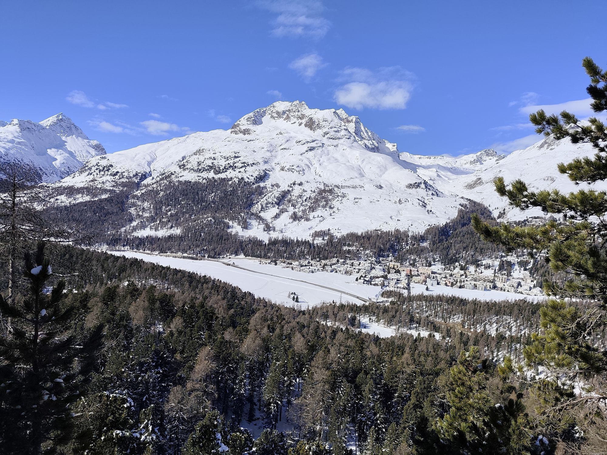
The demanding day hike begins in the small village of Champfèr, where the hiking trail initially leads through the forest and then into the Val Suvretta from San Murezzan. Past the Alp Suvretta, the trail...
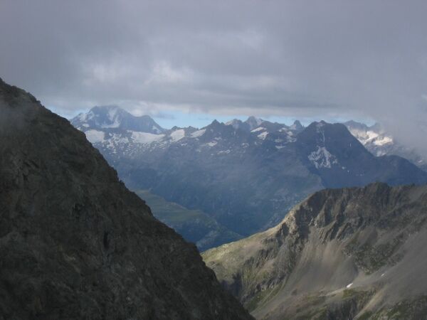
The demanding day hike begins in the small village of Champfèr, where the hiking trail initially leads through the forest and then into the Val Suvretta from San Murezzan. Past the Alp Suvretta, the trail continues to the left junction, where the mountain stream is crossed. From here, it gets steeper and gains altitude quickly. At 2870 m, a ridge invites to take a break. The route now follows the ridge and caution is required on the narrow path. Those who do not feel surefooted or are not free of vertigo should skip the summit ascent. The alpine route requires concentration but rewards repeatedly with magnificent views of the surrounding peaks. The summit is reached at 3380 m, and in good visibility, you will see hundreds of mountain peaks. For the descent, follow the same path back into the valley.
Further information
Engadin Tourismus AG
Via Maistra 1
CH-7500 St. Moritz
Phone: +41 81 830 00 01
E-mail: allegra@engadin.ch
Internet: www.engadin.ch


Champfèr - Alp Suvretta - Fuorcla Albana - Piz Julier - Fuorcla Albana - Alp Suvretta - Champfèr
Tak
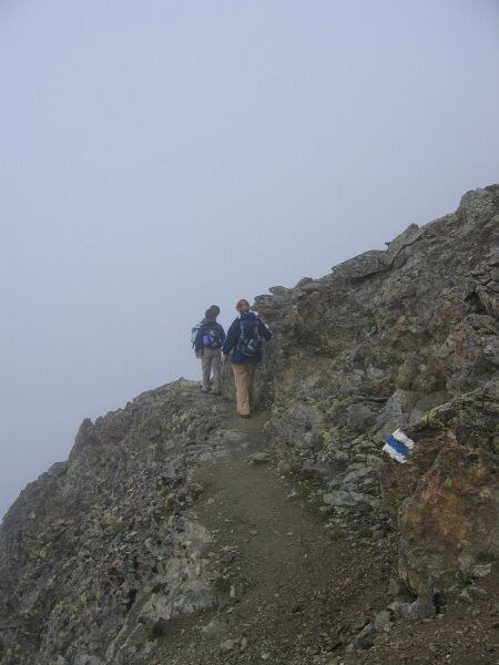
The white-blue-white trail marking to Piz Julier indicates that it is an alpine route with easy climbing sections and alpine dangers, which accordingly requires surefootedness, a head for heights, and alpine equipment.
Caution in unstable weather: The summit ridge is exposed and long!
If you take the Signal cable car, you can shorten the ascent a little.

Popularne wycieczki w okolicy
-
4,8
Panoramic route Muottas Muragl
światłoWędrówka 6,75 km -
5,0
Muottas Muragl - Segantini hut - Pontresina
średniWędrówka 6,46 km -
4,9
Maloja - Motta Salacina - Lägh da Cavloc - Maloja
średniWędrówka 10,3 km -
4,8
Morteratsch Glacier route
światłoTrasa tematyczna 2,88 km -
4,5
Pontresina - Val Roseg - Pontresina
światłoWędrówka 13,8 km -
4,8
Alp Languard - Segantini Hut - Muottas Muragl
średniTrailrunning 6,45 km -
4,8
SAC Tschierva
światłoWędrówka 24,7 km -
4,8
Around Lake St. Moritz
światłoWędrówka 4,32 km -
Muottas Muragl - Segantini Hütte - Pontresina
średniWędrówka 17,5 km -
4,3
721 Senda Ils Lejins Sils/Furtschellas
średniWędrówka 6,02 km
Wędrówki i tropienie


Nie przegap ofert i inspiracji na następne wakacje
Twój adres e-mail została dodana do listy mailingowej.


