


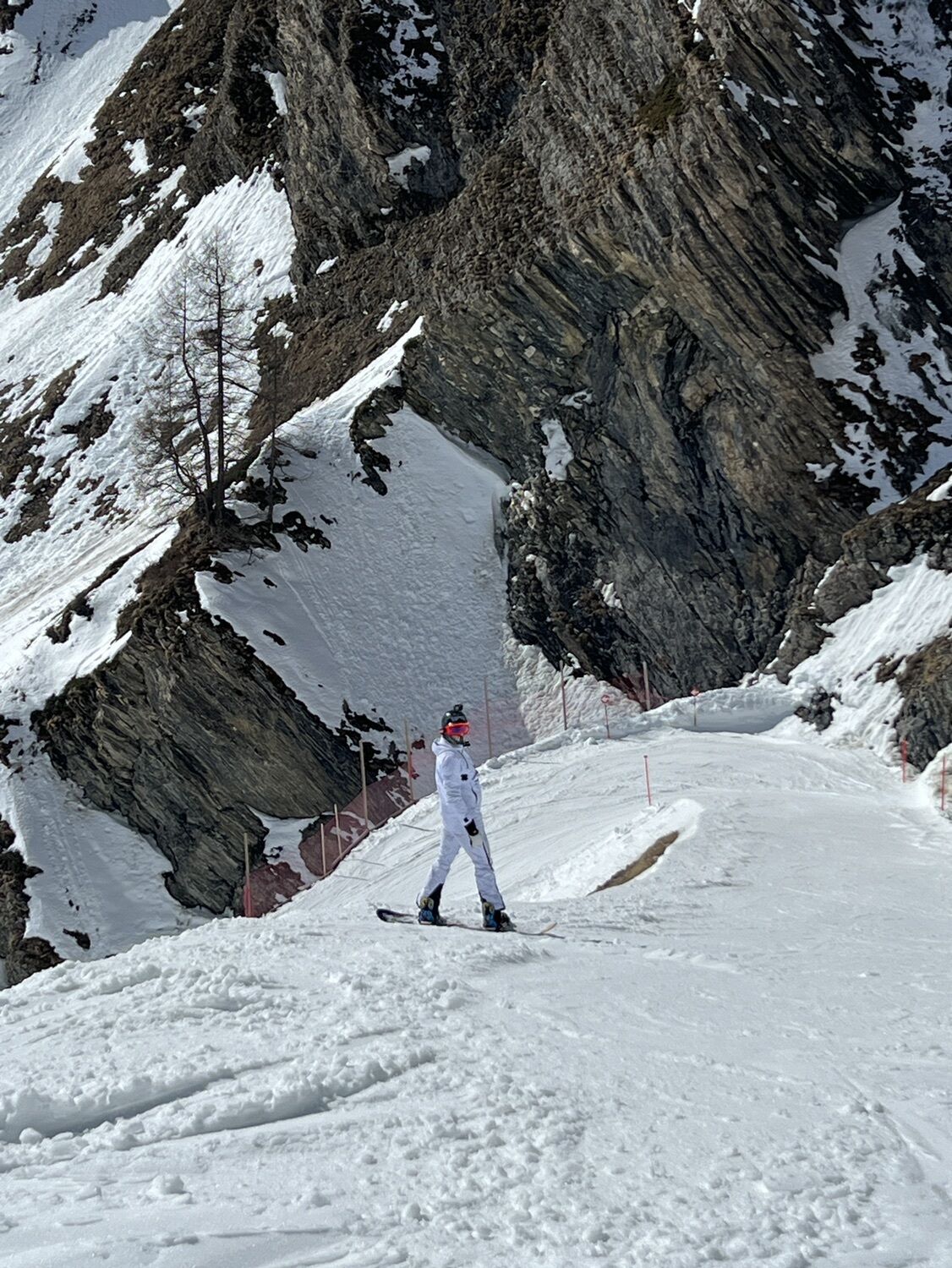
23 Senda Scuol–Samnaun (2 stages)
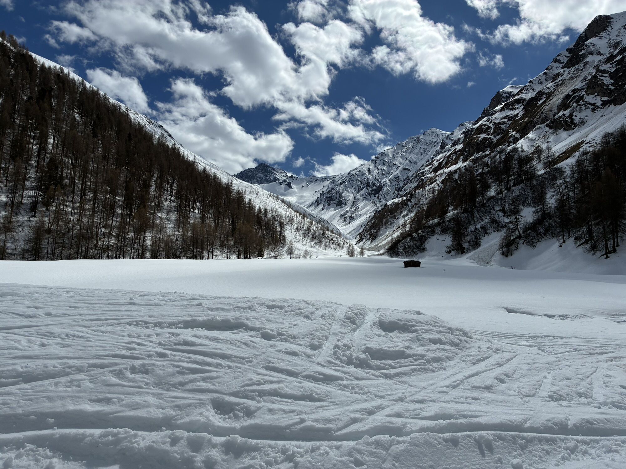

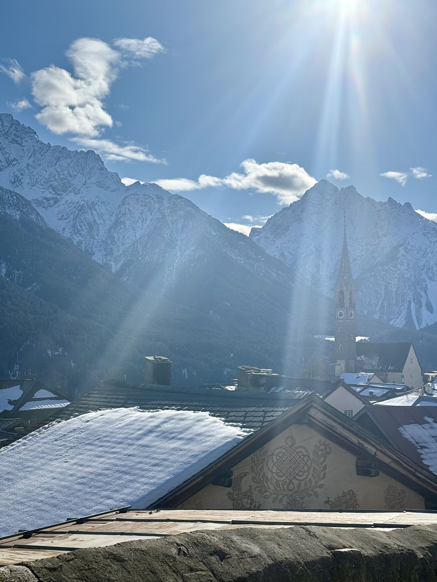

From Scuol Cluozza, a gently ascending path leads over a beautiful terrace through species-rich dry meadows to Sent. The typical Engadin village is famous for its gables and richly decorated houses. Those...
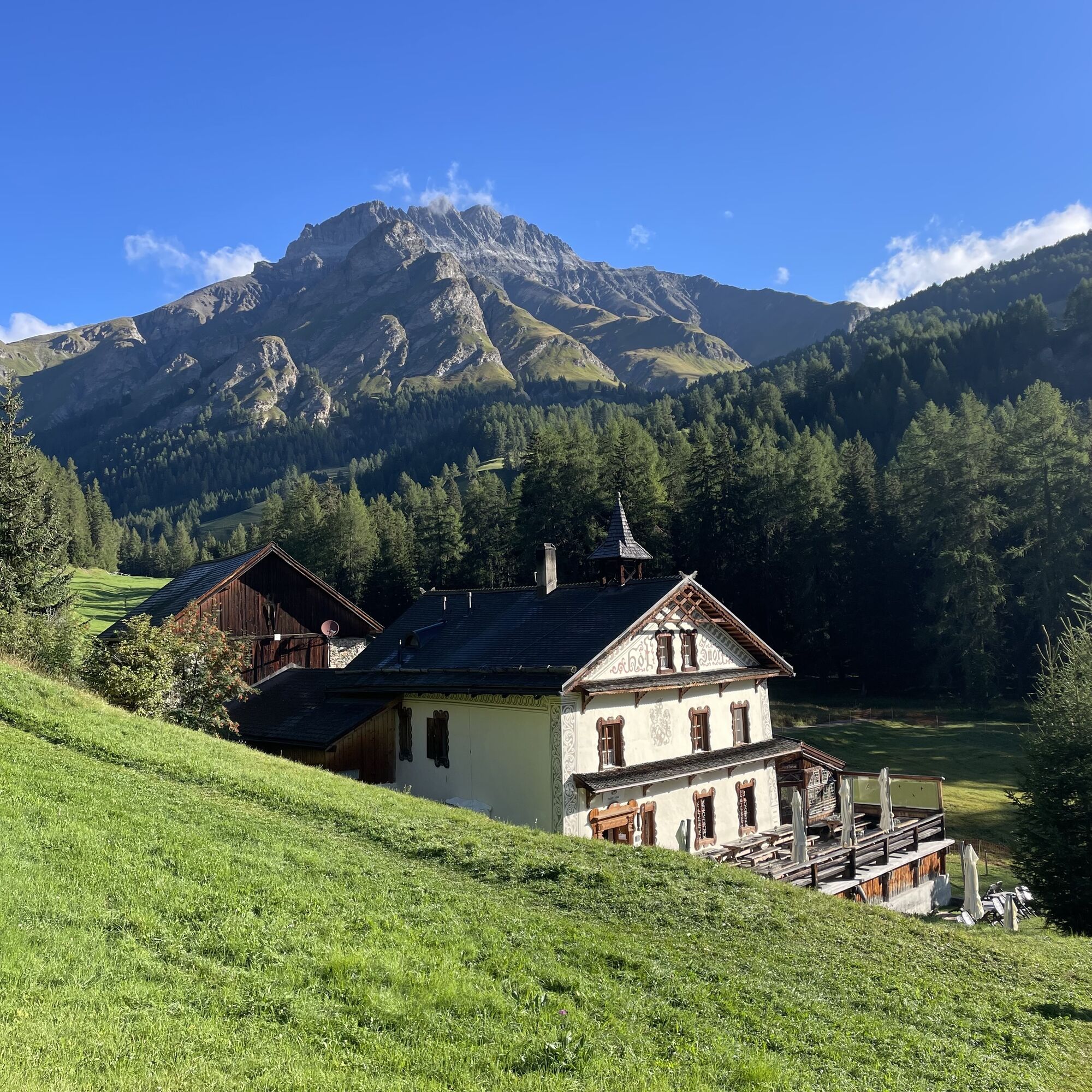
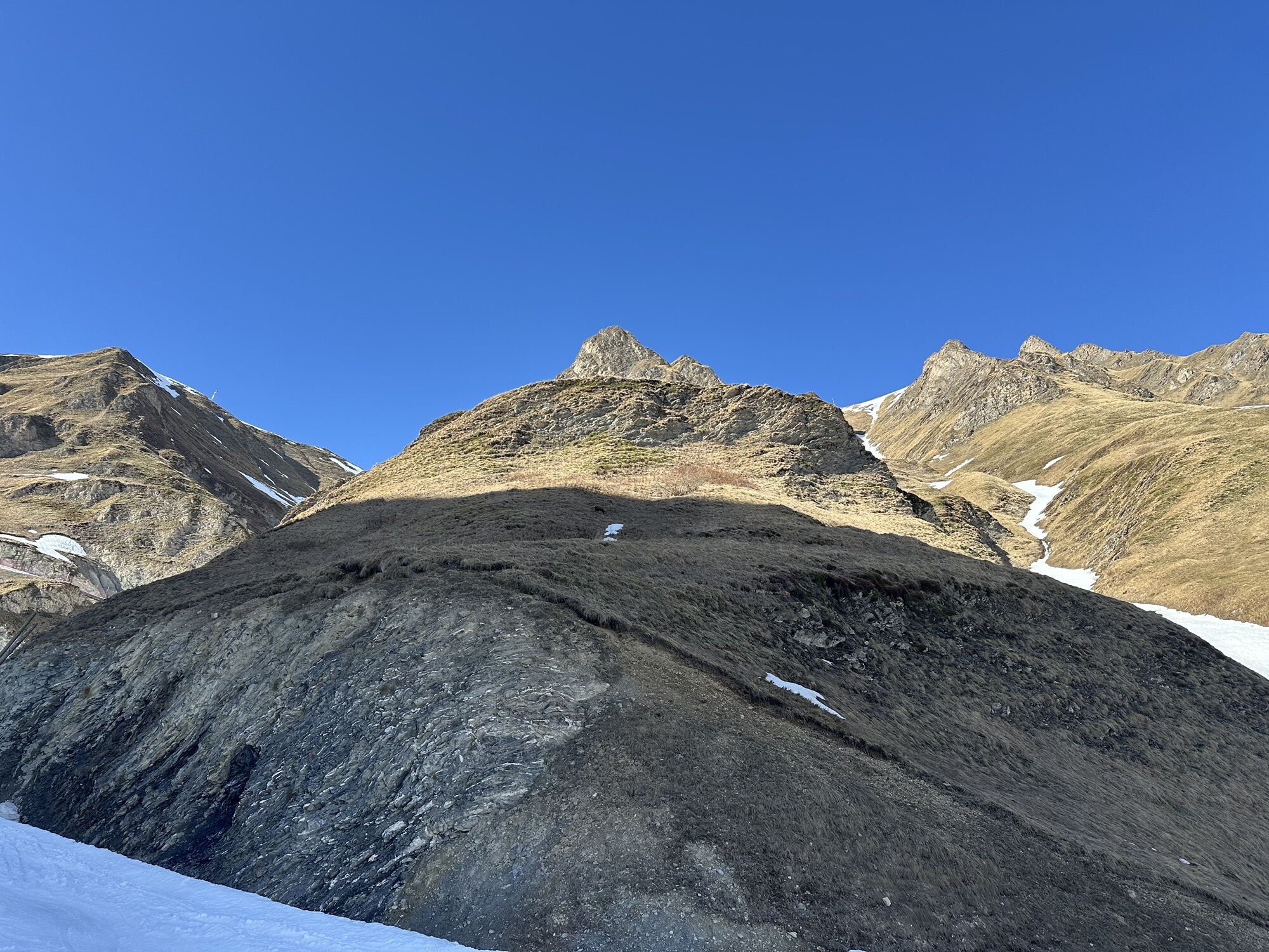
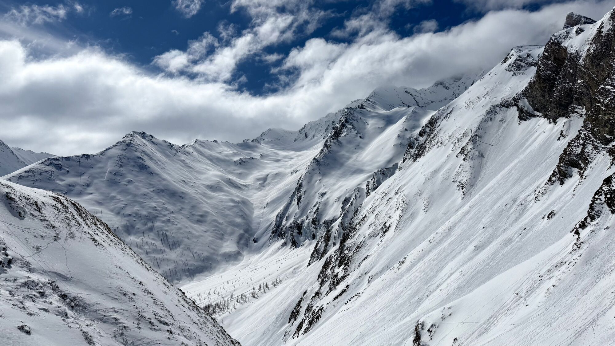
Along the flank of the wild, forested Val Sinestra you reach the homonymous Kurhaus restaurant, built in the heyday of spa tourism, and further ahead the also historically interesting Hof Zuort, where there is a chapel with a carillon of 14 tones, built during the war by the well-known Dutch conductor Mengelberg. Over the idyllically located Alp Griosch, you climb to the 2608 m high Fimber Pass with beautiful views of the surrounding mountains.
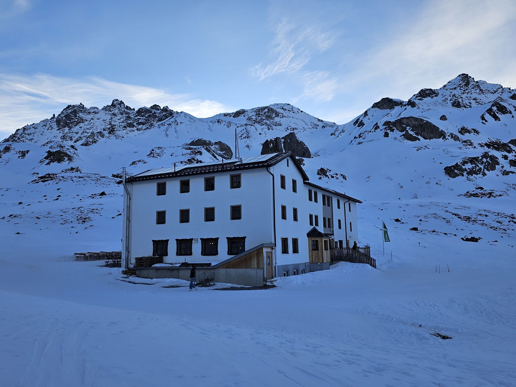
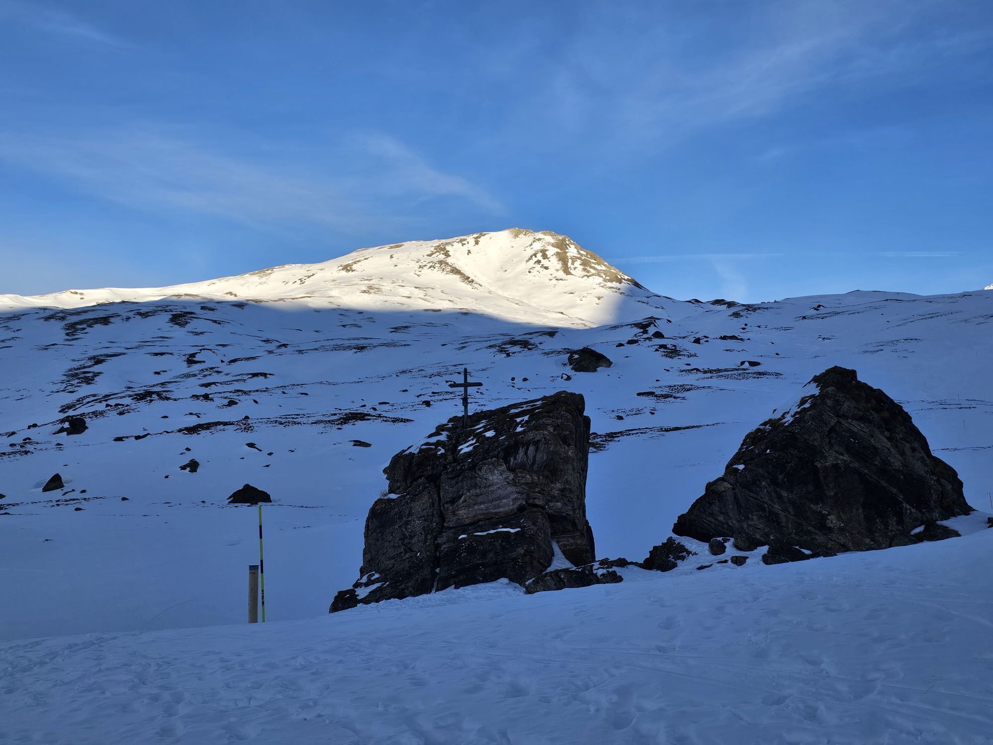
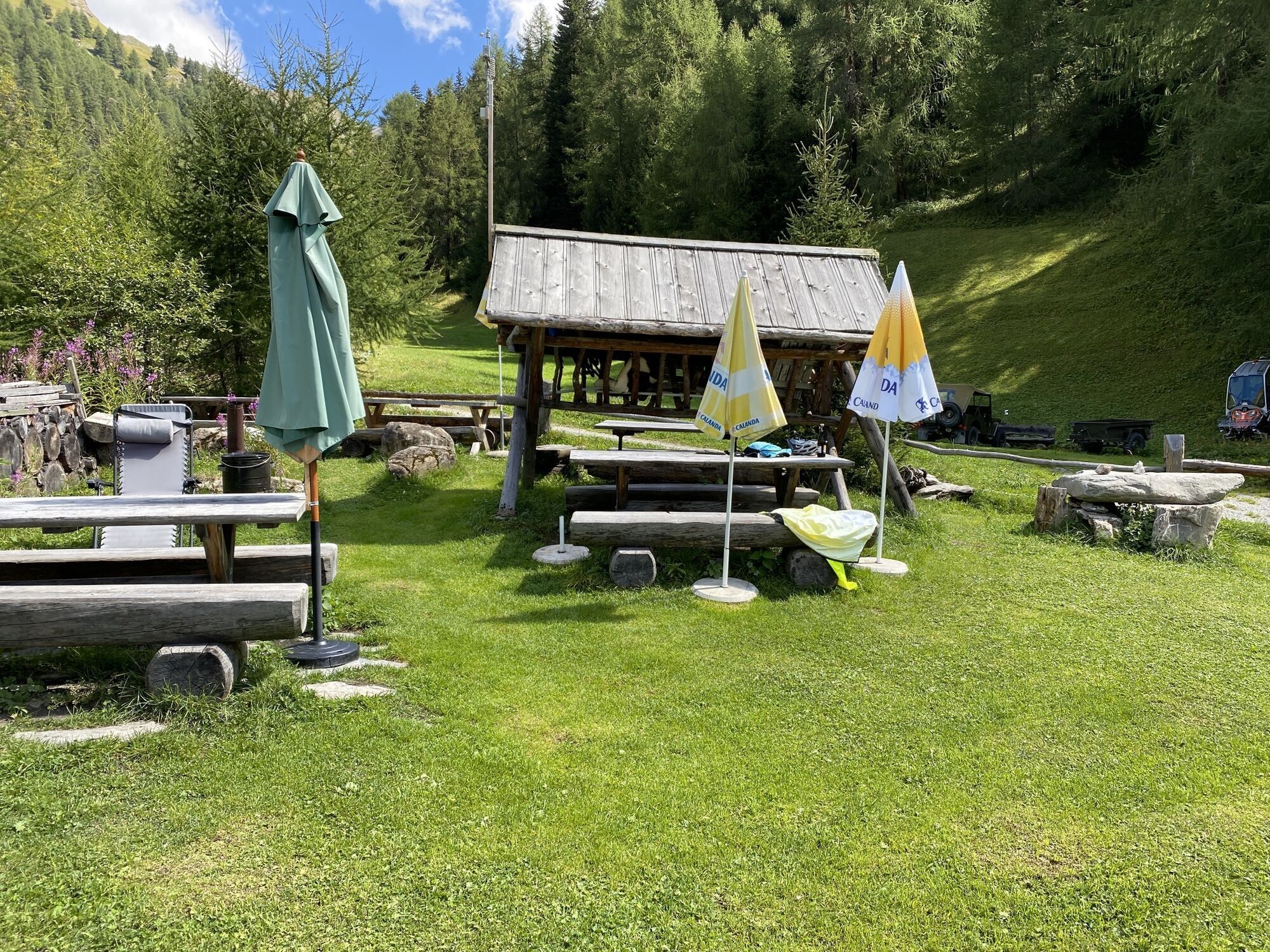
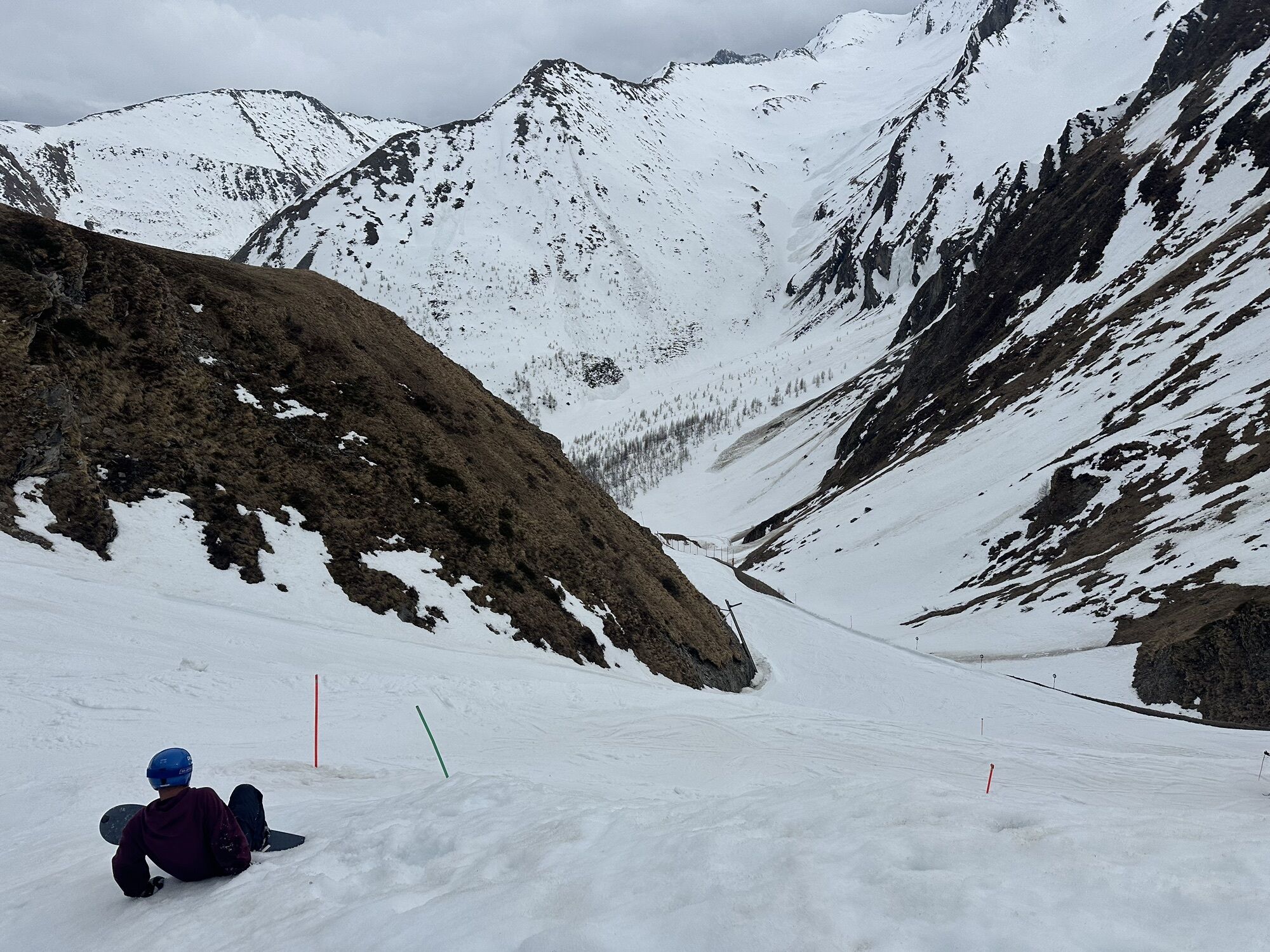
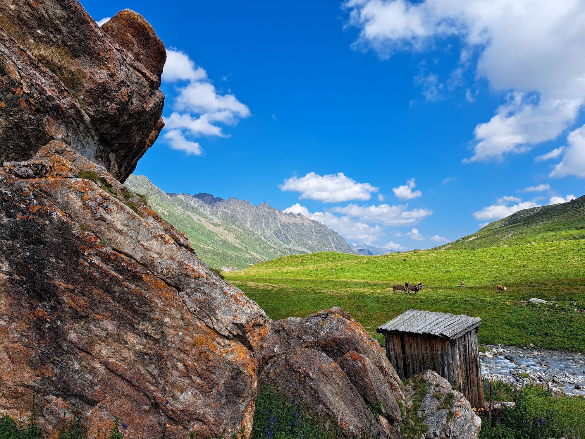
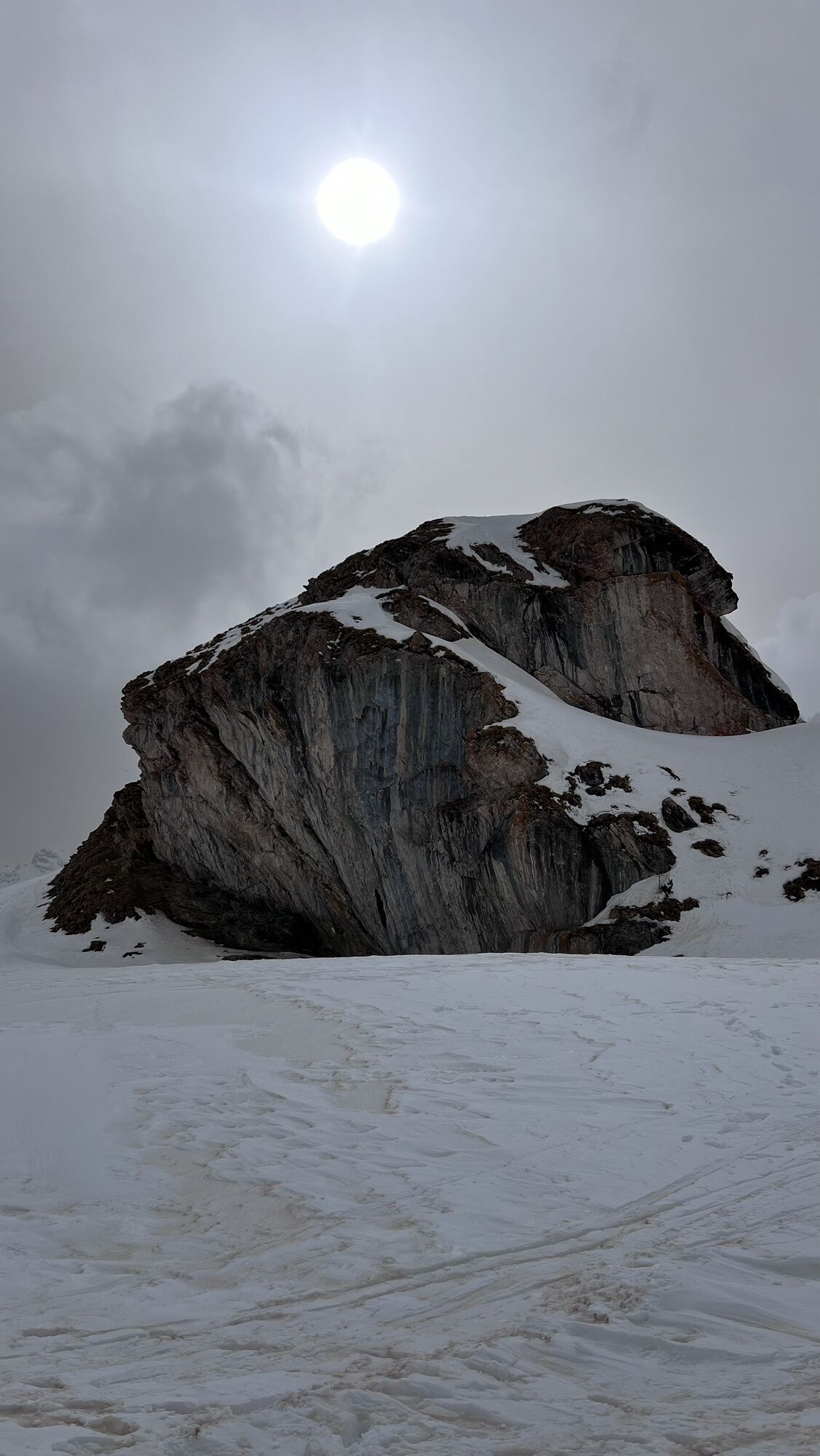
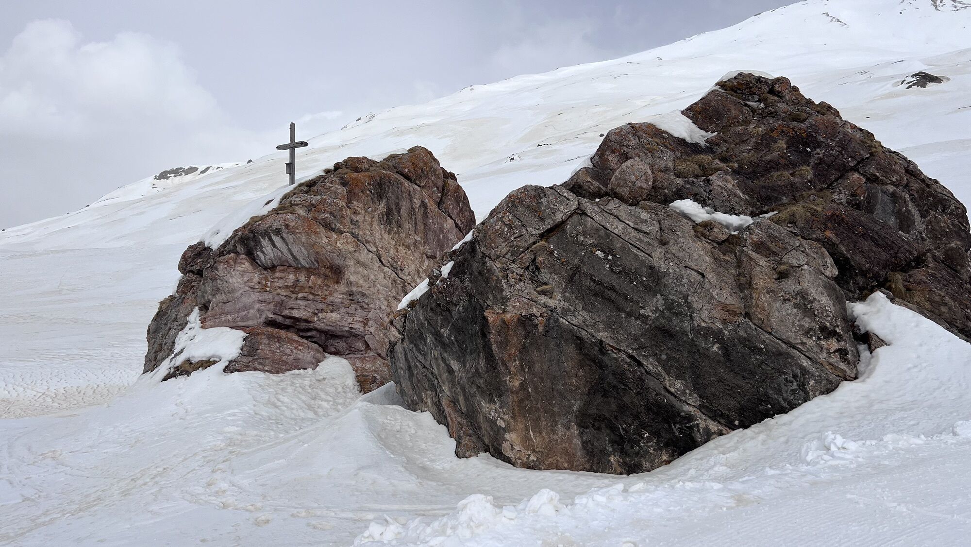
From the Heidelberger Hütte, you ascend over pastures on paths of varying steepness and across easily passable scree along the slope of Piz Davo Sassè to a small lake. From here, the path rises through a wide, flat hollow to the highest point of the route, the Fuorcla Val Gronda at 2752 m above sea level, where the border with Austria is crossed. After traversing the scree slopes descending from Versilspitz, you reach the Zeblasjoch again on Swiss soil, from here the route is duty-free. Through varied landscape past glacier remnants, waterfalls, and meadows, the road leads to the destination to Samnaun village.


Stages:
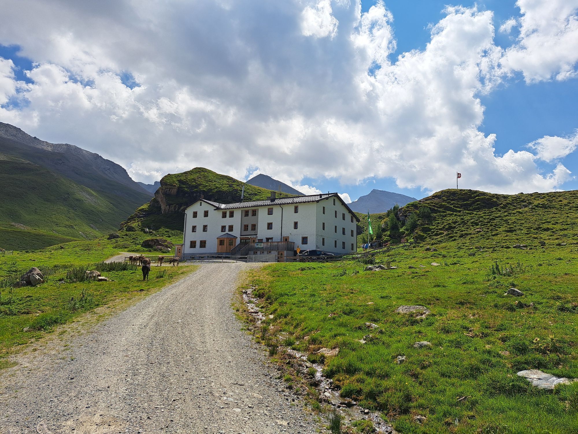
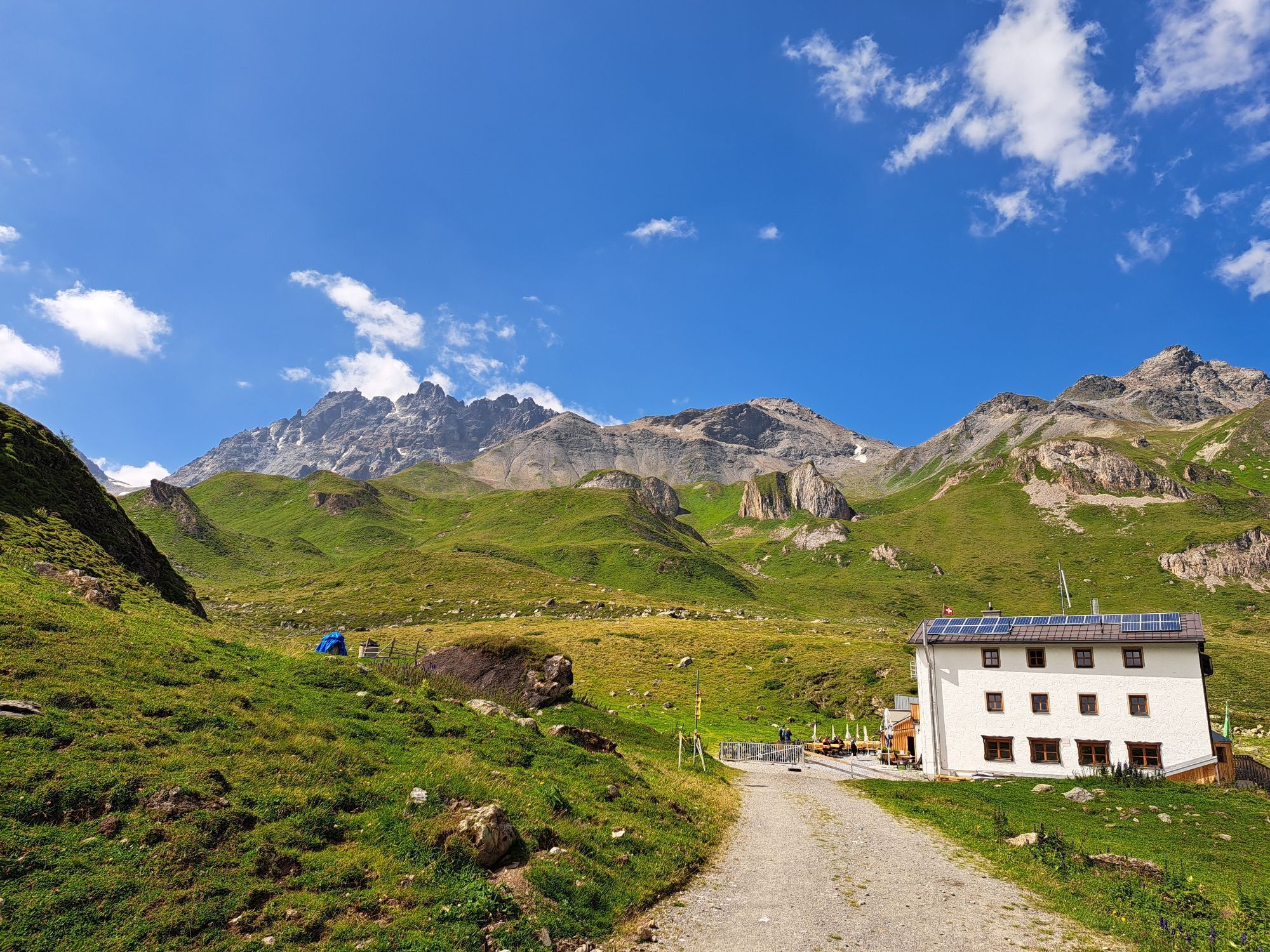
23.1 Scuol–Heidelberger Hütte DAV
23.2 Heidelberger Hütte DAV–Samnaun
From the north: via Landquart – Klosters by car transport through the Vereina Tunnel (Selfranga – Sagliains) or over the Flüela Pass to the Lower Engadin on H27
From the east: via Landeck / Austria towards St. Moritz on H27
From the south: via Reschen Pass (Nauders – Martina) or Ofen Pass (Val Müstair – Zernez) on H27
Planning a multi-day route? Buy our GraubündenPass and enjoy free travel throughout Graubünden. Available here!
Paid parking: Large parking lot at the train station. Smaller parking lots in the village as well as an underground garage at Bogn Engiadina in Scuol.
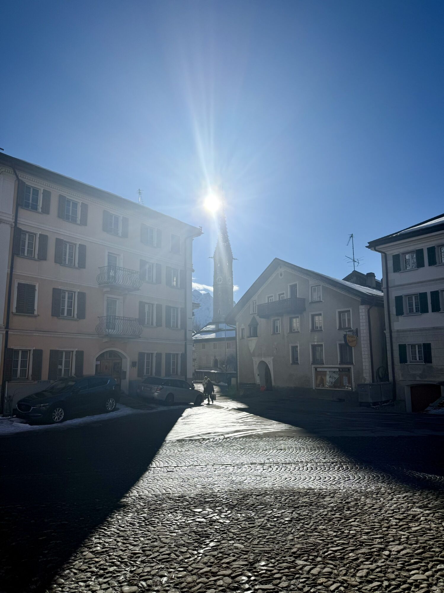
Staziun Scuol-Tarasp
7550 Scuol
Tel. +41 (0)81 861 88 00
info@engadin.com
www.engadin.com
The stages can be made easier with public transport.
Kamery internetowe z trasy
Ischgl Idalpe
Motta Naluns
Paznauner Taja
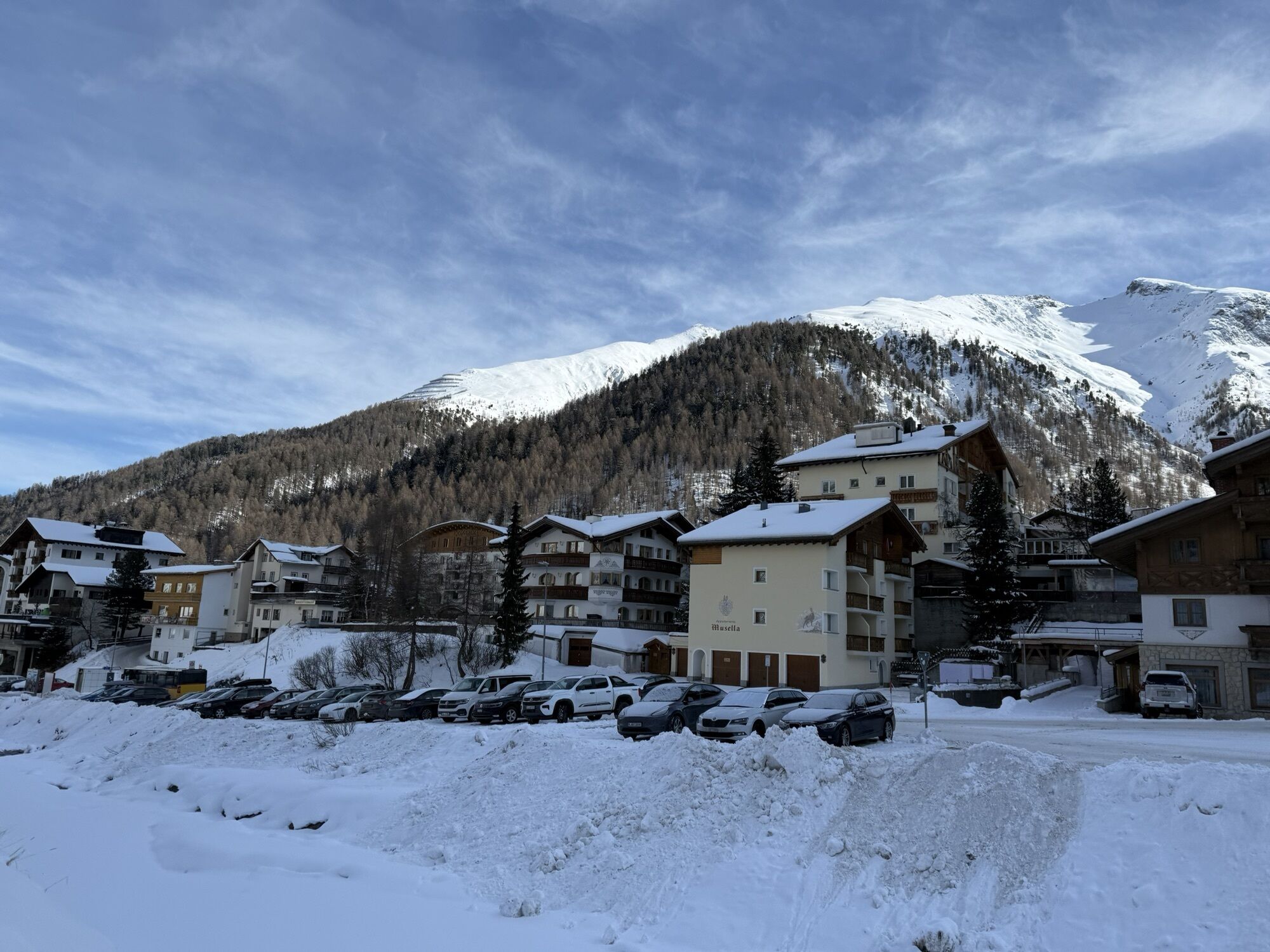
Scuol
Schloss Tarasp
Ischgl - Palinkopf
Ftan Prui
Palinkopf
Greitspitze
Ischgl - Palinkopf
Motta Naluns
Motta Naluns
Motta Naluns
Motta Naluns
Motta Naluns
Motta Naluns
Samnaun - Alp Trida Sattel
Alp Trida
Alp Trida
Alp Trida
Alp Trida
Alp Trida
Alp Trida
Samnaun - Compatsch
Samnaun - Dorf
Ftan
Ischgl - Idalp
Sent
Ftan
Tarasp - Engadin
Sent
Ischgl - Erlebnispark Vider Truja, 2.300m
Alp Trida
Alp Trida
Popularne wycieczki w okolicy
- 5,0
Menta Alm - Scheibenalm
światłoWędrówka 11,4 km - 4,7
Jamtal lodge
średniWędrówka 19,6 km - 4,3
Sonnenkogel - Friedrichshafener lodge
średniWędrówka 13,2 km - 5,0
Rundwanderung Berglisee, Mathon
ciężkiWędrówka 11,1 km - 5,0
Samnaun Dorf – Muttler
ciężkiWędrówka 14,8 km - 4,7
Around the Flimspitz from Alptrider Sattel
średniWędrówka 8,57 km - 4,5
Tarasp Fontana – Sparsels – Lai Nair (circular route)
światłoWędrówka 7,67 km - 5,0
San Jon – Chamonna Lischana (return)
średniWędrówka 12,0 km - 4,5
Etappe 2; Kappl-Heidelberger Hütte
średniMountainbike 23,3 km - 3,6
Bergstation Silvretta nach Patznauener Taja
światłoWędrówka 11,6 km

Wędrówki i tropienie


Nie przegap ofert i inspiracji na następne wakacje
Twój adres e-mail została dodana do listy mailingowej.