







006.08 Alpine Passes Trail: Vella - Vrin

Poziom trudności: T2
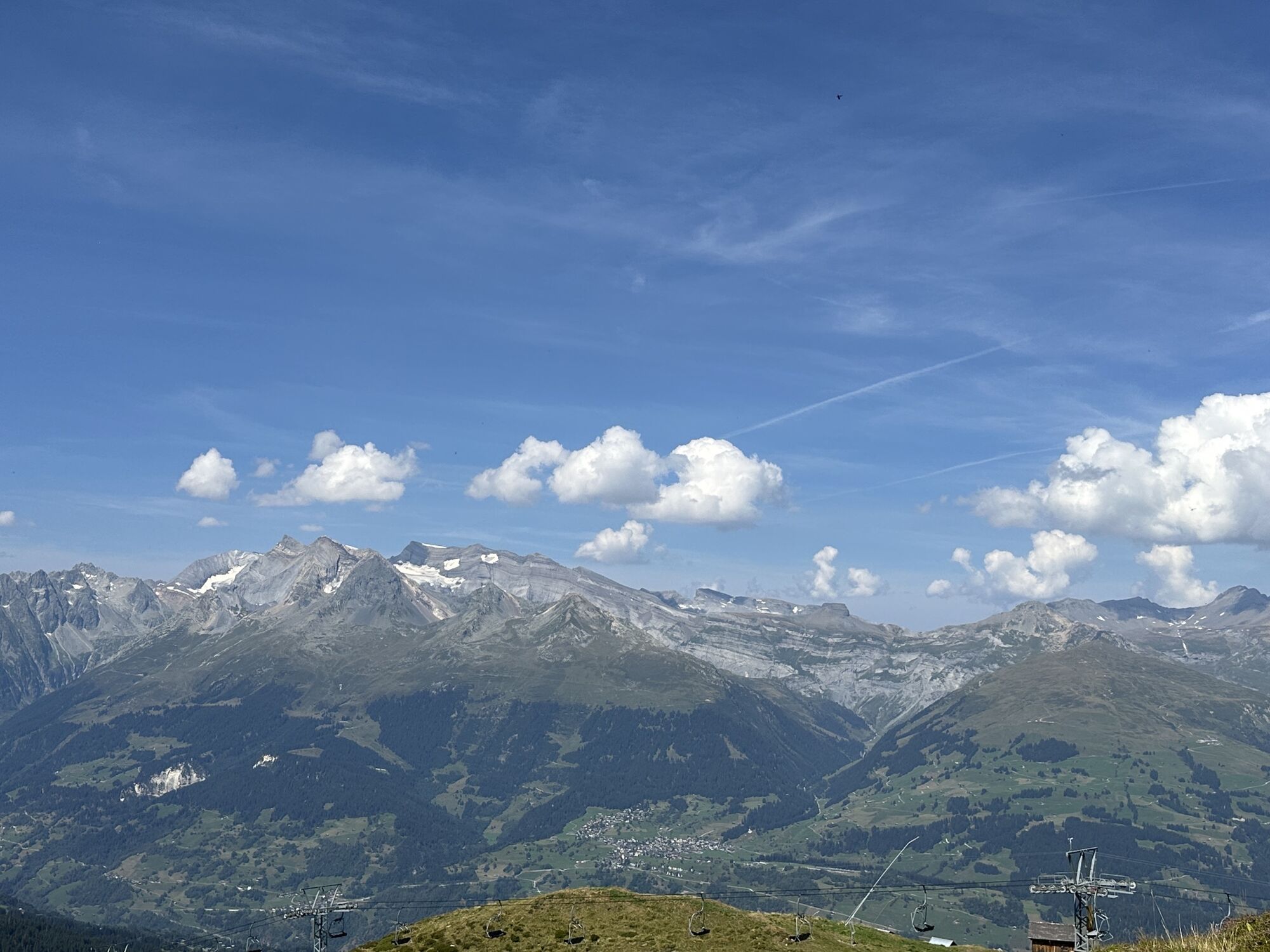
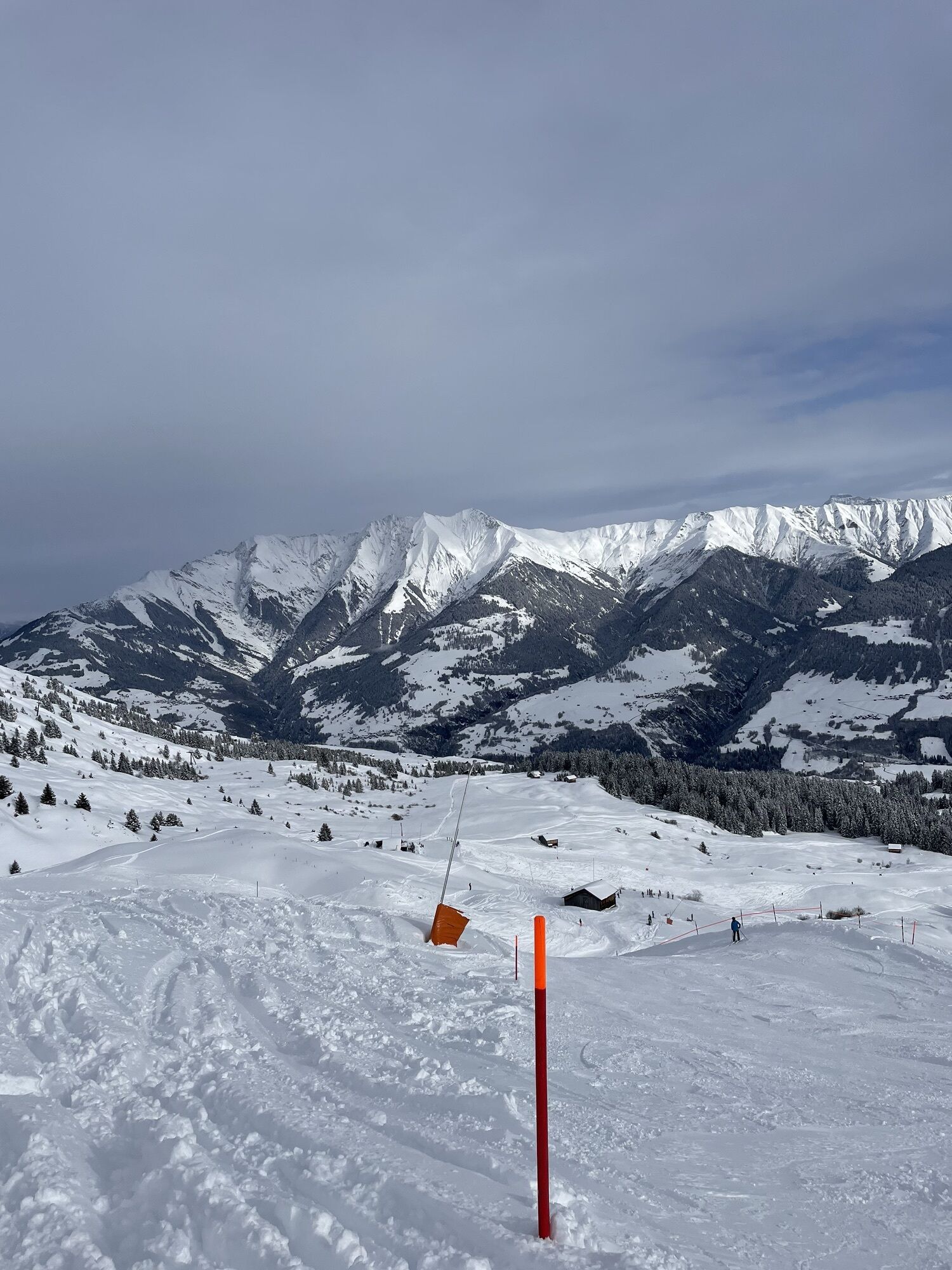
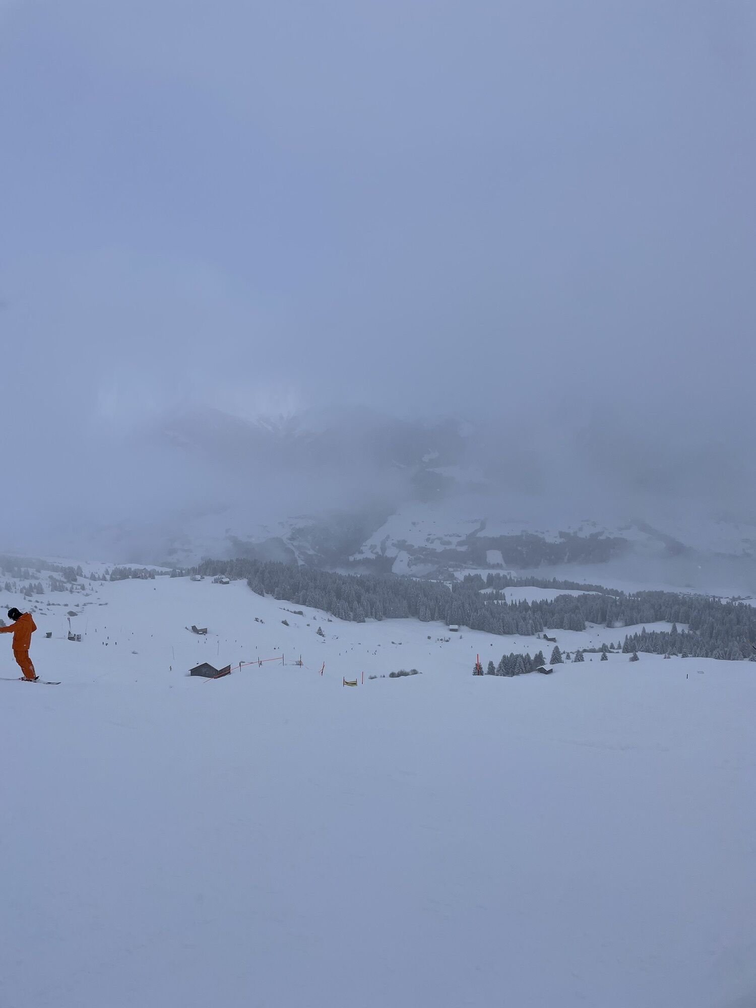
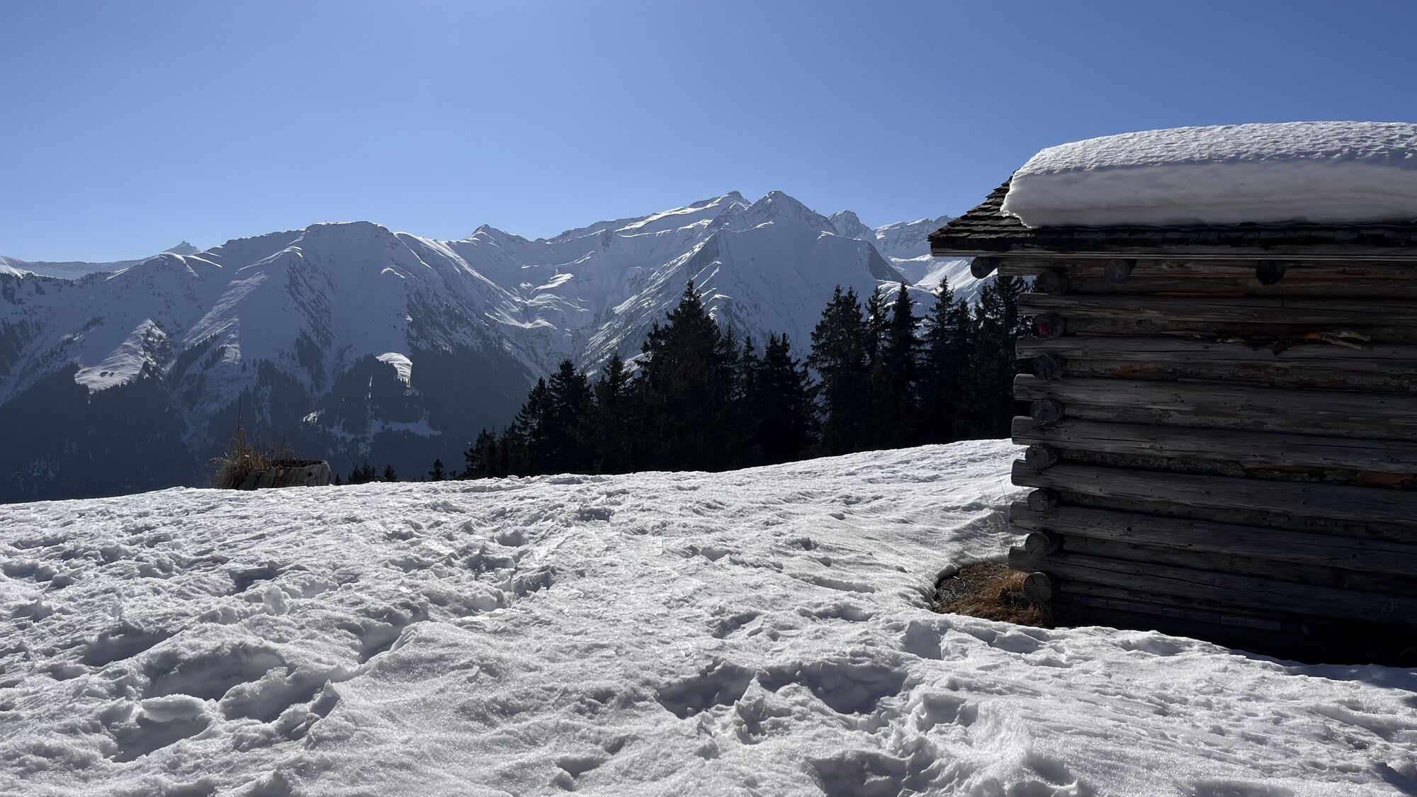
The hike starts in the village center of Vella at the church from the year 1587. Across meadows and through the forest it goes up to the small lake near Triel – a beautiful place for a break with views...
The hike starts in the village center of Vella at the church from the year 1587. Across meadows and through the forest it goes up to the small lake near Triel – a beautiful place for a break with views of the surrounding peaks. The ascent continues over meadows to the ridge with views into the sunny Val Lumnezia.
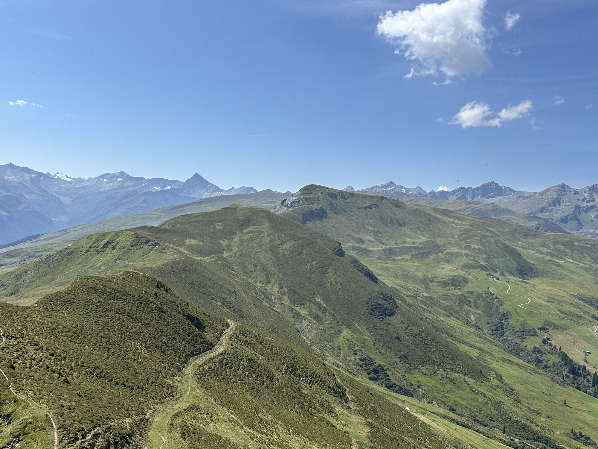
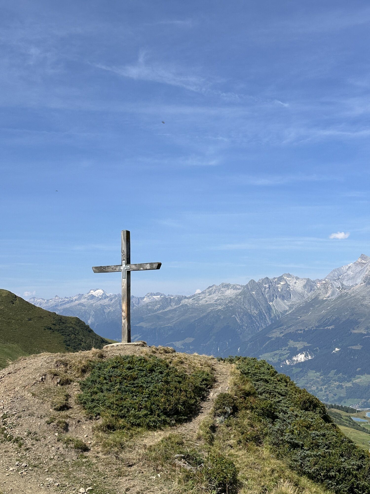
At the old gate of Porclas, the so-called "Frauentor" (women's gate), a legend recalls the struggle for freedom of the Lugnezer women in 1352 – a monument to the will of the valley's inhabitants. On the scenic ridge path towards Péz Sezner, the highest point of the tour is reached after about two hours (2309 m above sea level). At Alp Nova, the path branches off towards Lumbrein, which lies in a sunny terrace location and is known for its mild climate.
The descent to Vrin leads over paths, gravel roads, and a hiking nature trail. Shortly before the destination, the Aua da Cavel is crossed. Vrin is the last village in Val Lumnezia. The place was shaped by the architect Gion A. Caminada, who, as part of a model project, carefully integrated new buildings into the historic villagescape. For this, Vrin received the Wakker Prize in 1998.
Our favorite of this stage on the Alpine Passes Trail:
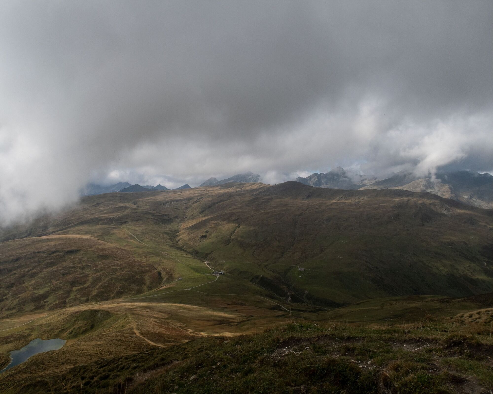
The ridge hike between Piz Mundaun and Péz Sezner: wonderful views of the entire Surselva – panorama as far as the eye can see.


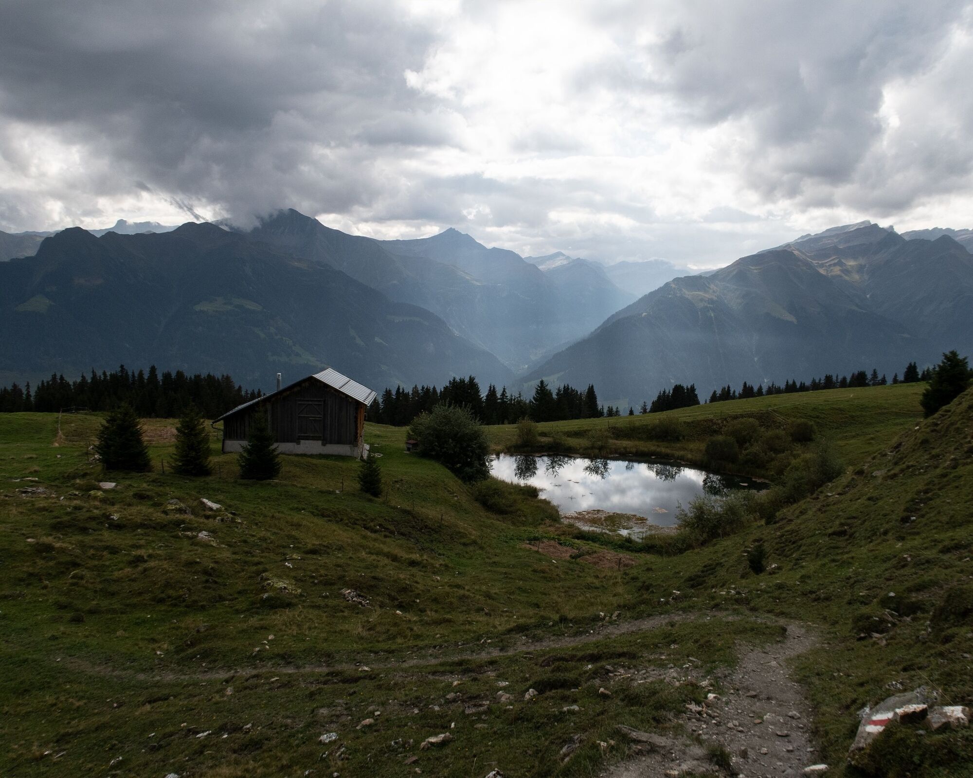


Vella-Triel-Puoz da Grun-Stei-Péz Sezner-Parmischinas-Curtinatsch-Val Miedra-Vrin
Good hiking boots with a good tread, weather-appropriate clothing (rain jacket/sun protection), drink, provisions, first aid kit, possibly hiking poles.
The route should not be started in uncertain weather conditions. Weather changes in the mountains are frequent. If a rain front or similar develops during the hike, you should turn back in time.
From Ilanz towards Lumnezia to Vella
By post bus from Ilanz to Vella, posta
From the endpoint in Vrin, from Vrin, vitg back to Vella or Ilanz
Parking lot of the mountain railways in Vella
T2

Kamery internetowe z trasy

Popularne wycieczki w okolicy
- 5,0
High valley Val Frisal
ciężkiWędrówka 12,4 km - 5,0
Panorama route
światłoWędrówka 5,39 km - 5,0
2-day hike Greina high plateau
ciężkiWędrówka 15,5 km Piz Fess 2880m, the proud one
ciężkiWędrówka 12,8 km- 5,0
Hiking route Suspension Bridge Val da Tersnaus
średniWędrówka 3,24 km - 4,7
Dutjer Alp - magnificent view
średniWędrówka 8,23 km - 3,3
3-lake hike
średniWędrówka 12,8 km Giro della Greina
Wędrówka 50,6 kmPanoramic route between Piz Mundaun and Péz Sezner
średniWędrówka 6,75 km- 5,0
Winter hike Gadastatt - Frunt - Zerfreila (Panorama trail)
światłoWędrówka zimą 5,36 km
Wędrówki i tropienie


Nie przegap ofert i inspiracji na następne wakacje
Twój adres e-mail została dodana do listy mailingowej.





