





Route: the Pastetenplatz and the Wotan oak
Poziom trudności: T1
A sporty hike for a day, you will have to climb first, the view is well earned! Its highlight: this viewpoint overlooking the vineyard.

Marking to follow: red ring, red rectangle, then red disk.
Clothing adapted to the season and conditions (cold, hot, humid…)
Hiking shoes suitable for the terrain (even for children!)
Hiking poles (useful for stability and to relieve the joints)
Mobile phone and spare battery
Certain recommendations must be respected for proper hiking practice. It is important to be well informed about the route to be covered. Preparation and assessment of physical condition are necessary.
In case of problem
Alert: call 112 (European emergency number)
5 key points to provide when sending your alert:
Where? municipality, place, route, altitude
Who? identity, phone number
What? type of accident, number of victims, severity, fall dynamics
When? time of the accident
Weather? wind, visibility
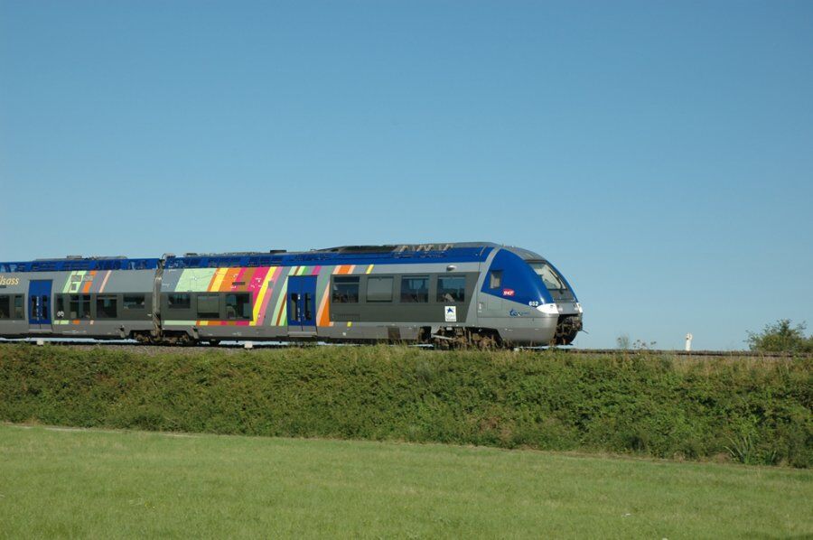
Preferably by public transport
Thann station (88)
www.fluo.eu
Not necessary if you come by train or public parking available on site for free
T1
Thann-Cernay Tourist Office
7 rue de la 1ère Armée
68800 Thann
Tel: 03 89 37 96 20
thann@hautes-vosges-alsace.fr
www.hautes-vosges-alsace.fr
Popularne wycieczki w okolicy
-
Grand Ballon route in 3 days
ciężkidługodystansowy szlak pieszy 54,2 km -
4,0
Boucle du Grand Ballon de Goldbach-Altenbach, France
średniWędrówka 14,7 km -
5,0
Visit of the Hartmannswillerkopf battlefield
światłoWędrówka 5,45 km -
Crossing of the Vosges Massif - Stage 17 - Thann - Ballon d'Alsace
ciężkidługodystansowy szlak pieszy 27,8 km -
The Thannerhubel at Bourbach-le-Haut
średniWędrówka 7,32 km -
Crossing of the Vosges Massif - Stage 16 - Le Markstein - Thann
ciężkidługodystansowy szlak pieszy 28,0 km -
Haag Farm-Inn walk "Between the shade of the beech woods and the light of the high pastures"
średniWędrówka 5,83 km -
Farm-Auberge Grand Ballon walk "Under the highest peak of the Vosges"
światłoWędrówka 5,16 km -
Walk at Bruckenwald Farmhouse Inn "On the old border"
średniWędrówka 6,41 km -
Wine trail of the Coteaux du vieil-Armand in Uffholtz
średniWędrówka 5,60 km
Wędrówki i tropienie


Nie przegap ofert i inspiracji na następne wakacje
Twój adres e-mail została dodana do listy mailingowej.





