





Wine trail of the Coteaux du vieil-Armand in Uffholtz
Between mountain and plain, explore this young vineyard and admire the variety of landscapes (Alsace plain, Vosges massif, Black Forest, Swiss Alps).
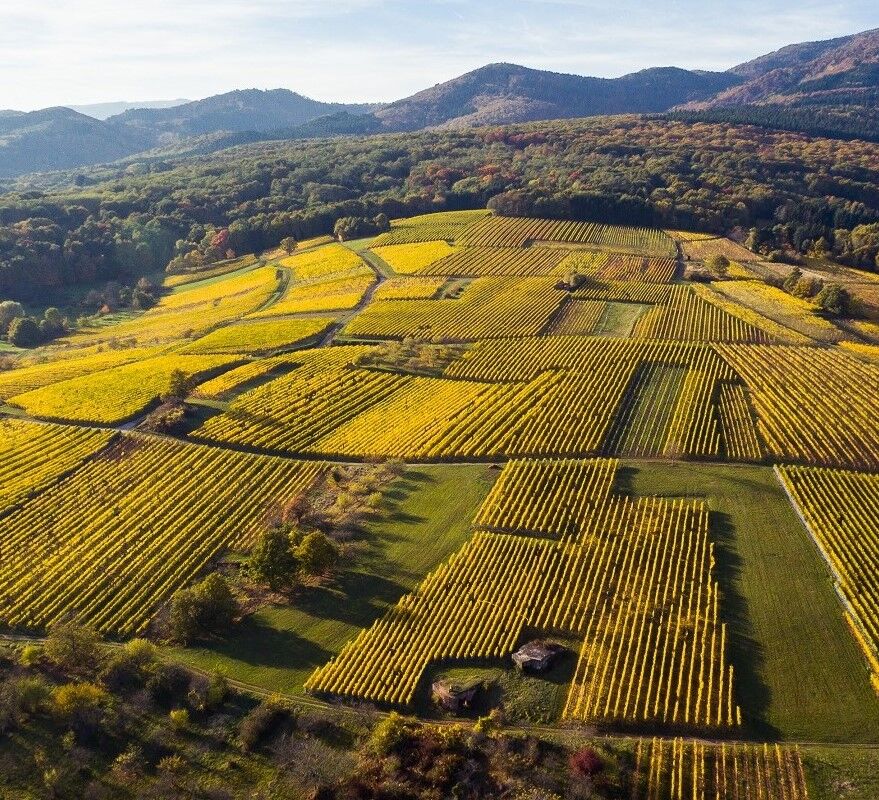
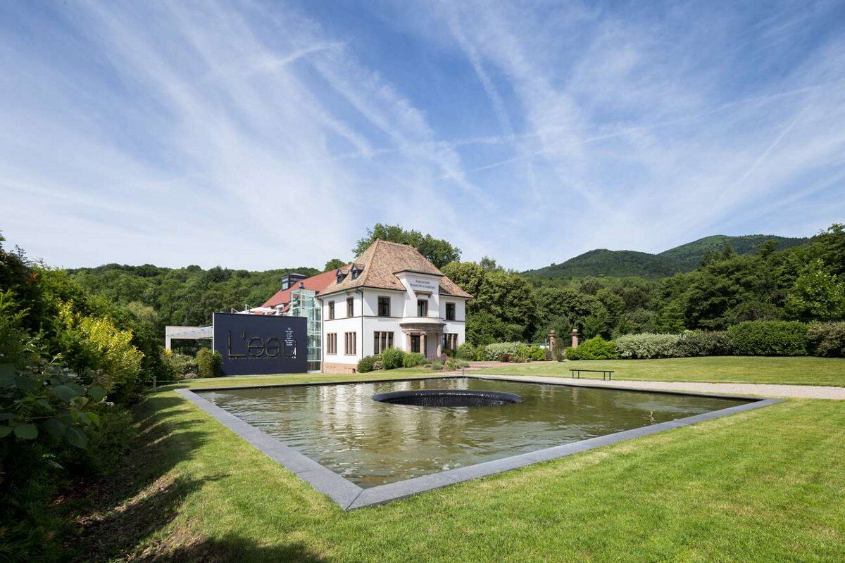
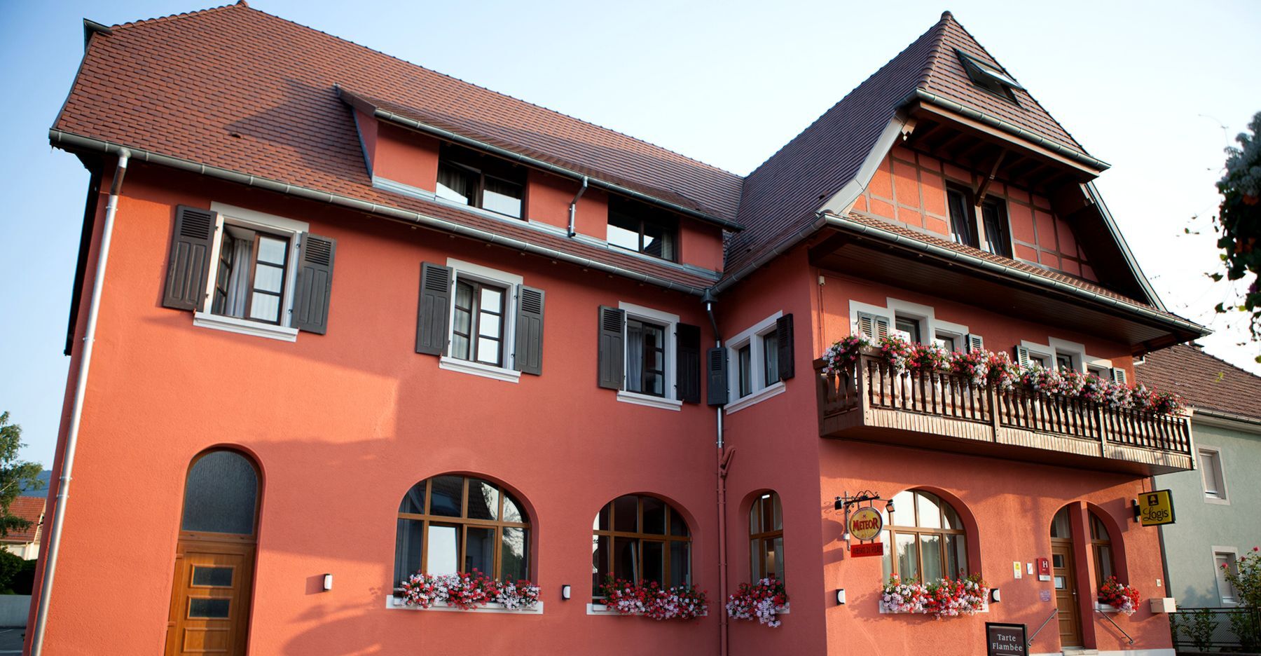

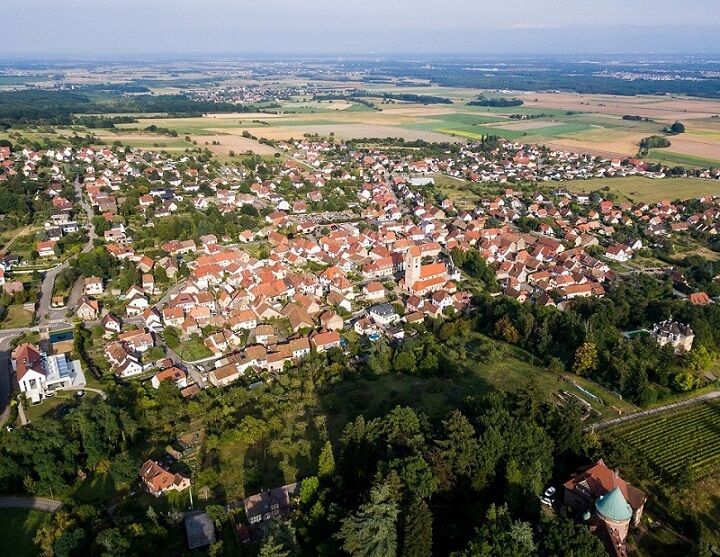
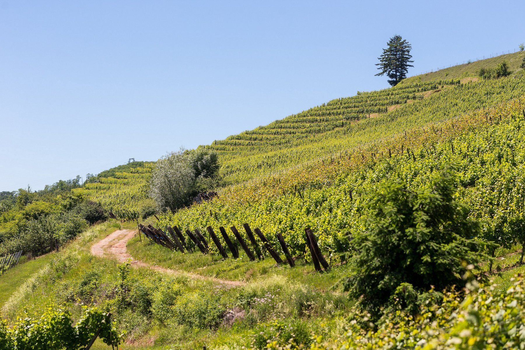


Overlooking the commune of Wattwiller, discover a wine trail between natural and historical heritage.
Tak
Clothing adapted to the season and conditions (cold, hot, humid…)
Hiking shoes suitable for the terrain (even for children!)
Telescopic poles (useful for stability and to relieve joints)
Mobile phone and spare battery if needed
Check the general and local weather ensuring no precipitation Inform yourself about the approach walk, itinerary elevation, duration, possible escape routes (IGN map, GPS, guidebook, etc…)
Assess possible risks by consulting mountain professionals, refuges, lodges
Inform a close contact of your plan and contact them in case of change: departure and return times, number of participants with phone numbers, vehicle(s), parking
Avoid going alone, use equipment suitable for the activity, adjusted and in good condition, headlamp, complete first aid kit, survival blanket, etc…
In case of emergency, call 112
Uffholtz 68700
https://www.fluo.grandest.fr/actualites/navette-des-cretes/
Line 68R043 (light green) Thann Mairie - Grand Ballon
Stop Navettes des Crêtes: Uffholtz - Restaurant Frantz
Parking available
3 Rue Bernard Meyer
68700 Uffholtz
France
Tourist office of the Thann-Cernay region
7 rue de la 1ère Armée 68800 Thann
Tel: 03 89 37 96 20
thann@hautes-vosges-alsace.fr
www.hautes-vosges-alsace.fr
Popularne wycieczki w okolicy
-
Grand Ballon route in 3 days
ciężkidługodystansowy szlak pieszy 54,2 km -
4,0
Boucle du Grand Ballon de Goldbach-Altenbach, France
średniWędrówka 14,7 km -
5,0
Visit of the Hartmannswillerkopf battlefield
światłoWędrówka 5,45 km -
The Thannerhubel at Bourbach-le-Haut
średniWędrówka 7,32 km -
Haag Farm-Inn walk "Between the shade of the beech woods and the light of the high pastures"
średniWędrówka 5,83 km -
Farm-Auberge Grand Ballon walk "Under the highest peak of the Vosges"
światłoWędrówka 5,16 km -
Glashütte Farm-Inn Walk - Walk in the Belchenwald forest
średniWędrówka 4,71 km -
Crossing of the Vosges Massif - Stage 16 - Le Markstein - Thann
ciężkidługodystansowy szlak pieszy 28,0 km -
The Belacker and Gsang MTB FFC route no. 22
średniMountainbike 36,7 km -
MTB circuit: Boenlesgrab circuit
ciężkiMountainbike 44,4 km
Wędrówki i tropienie


Nie przegap ofert i inspiracji na następne wakacje
Twój adres e-mail została dodana do listy mailingowej.





