


Hiking route H04: The hamlets of the Climontaine
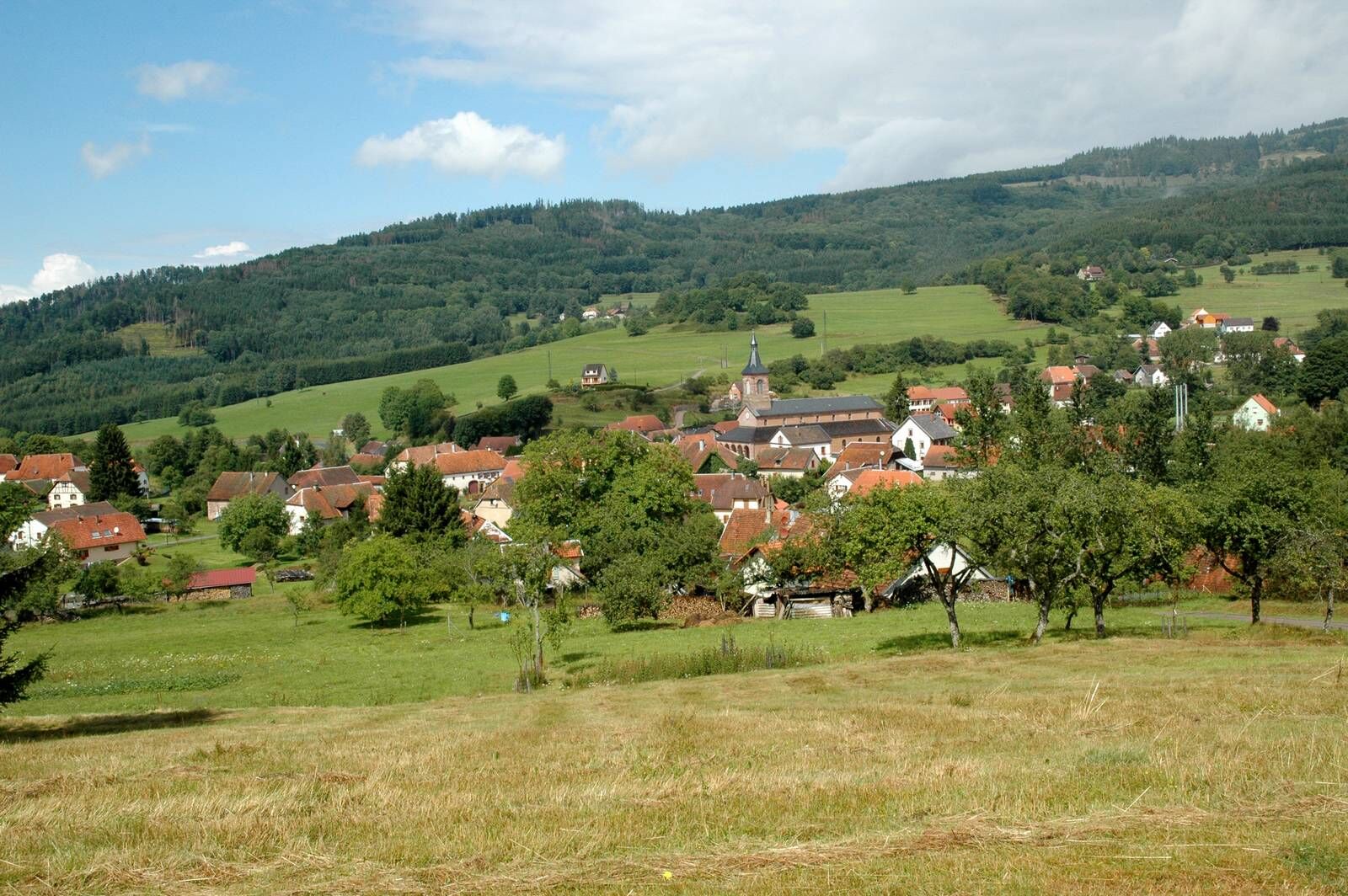
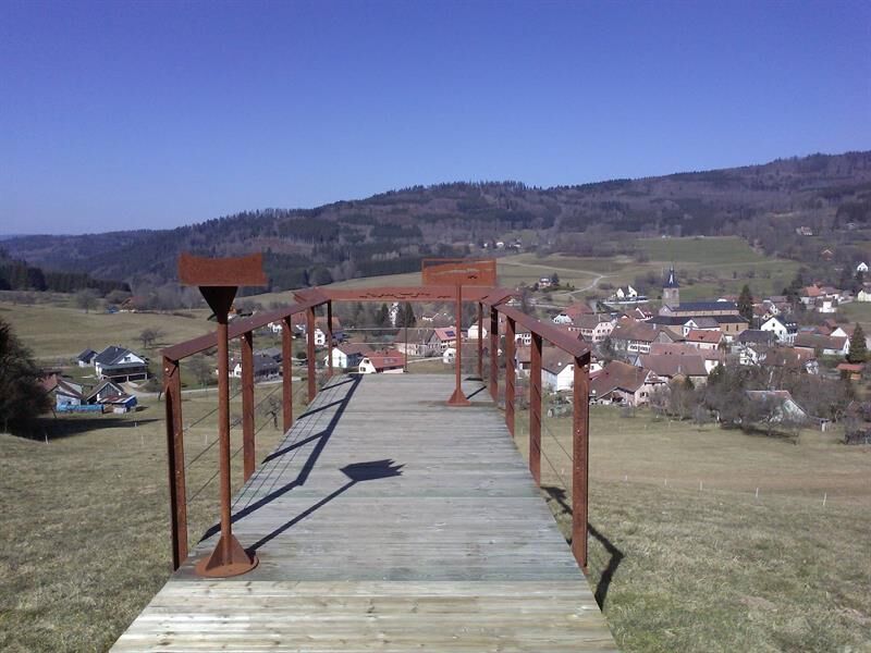
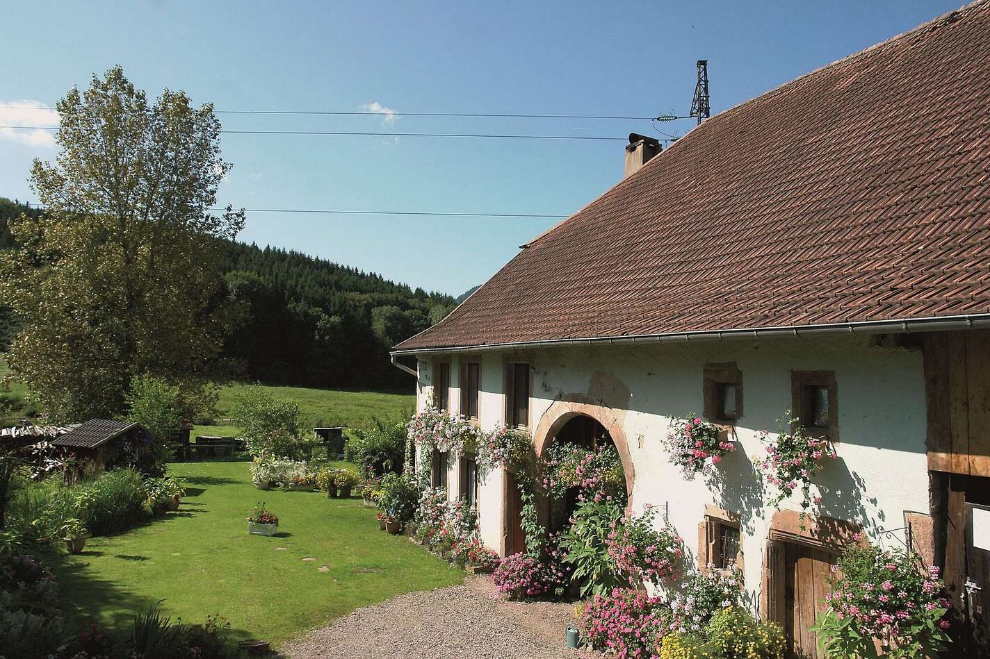
Discover the villages of the Climontaine, located on the path of a provincial road coming from the Hantz pass crossing the Bruche to join the ancient Roman road of the Champ du feu, as well as the hamlets...
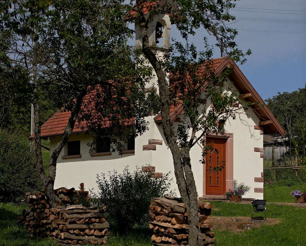
Discover the villages of the Climontaine, located on the path of a provincial road coming from the Hantz pass crossing the Bruche to join the ancient Roman road of the Champ du feu, as well as the hamlets of Fonrupt, La Salcée, Stampoumont and many isolated farms, magnificent witnesses of Vosgian rural architecture.
Discover the complete route here!
Follow the markings blue triangle > yellow ring > green ring
Tak
Tak
Recommended equipment
Clothing adapted to the season and weather conditions (cold, hot, humid…)
Hiking shoes suitable for the terrain (even for children!)
Telescopic poles (useful for stability and to relieve joints)
Mobile phone and spare battery if needed
In case of problem
Call 112 (European emergency number)
5 key points to report your alert:
Where? municipality, location, route, altitude
Who? identity, phone number
What? type of accident, number of victims, severity, fall dynamics
When? time of the accident Weather? wind, visibility
Ranrupt (67)
www.fluo.eu
Free parking on site
BRUCHE VALLEY TOURIST OFFICE
114 Grand Rue
Maison de la Vallée
67130 Schirmeck
Tel: 03 88 47 18 51
tourisme@valleedelabruche.fr
Popularne wycieczki w okolicy
-
Piesze przejście przez Wogezy - Wissembourg / Belfort - GR53 - GR5
ciężkidługodystansowy szlak pieszy 432,2 km -
Bike route: EuroVelo5 Via Romea. Saarbrücken – Strasbourg – Basel
średniKolarstwo długodystansowe 388,7 km -
5,0
A corner of freshness... at the Hohwald waterfall
światłoWędrówka 5,75 km -
5,0
Les Deux Donon
średniWędrówka 18 km -
Hiking circuit D04: Southern fortified positions of Donon
średniWędrówka 12,0 km -
Crossing of the Vosges Massif - Stage 09 - Schirmeck - Le Hohwald
ciężkidługodystansowy szlak pieszy 23,2 km -
Family walk: Little Princes' routes in the Principality of Salm
światłoWędrówka 6,28 km -
Family route: Around Belmont
średniWędrówka 6,36 km -
Hike Mountain Inn des Cîmes (Climont Route) - Towards a 360° view
średniWędrówka 6,04 km -
Hiking circuit: Salm and the Hanging Cat
średniWędrówka 6,16 km

Wędrówki i tropienie


Nie przegap ofert i inspiracji na następne wakacje
Twój adres e-mail została dodana do listy mailingowej.