





Lac Vert loop
Small family walk rewarded by a refreshing foot dip.
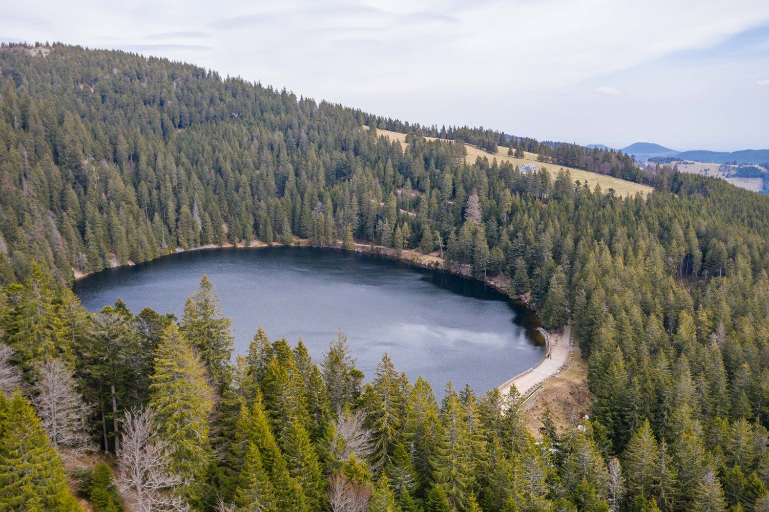
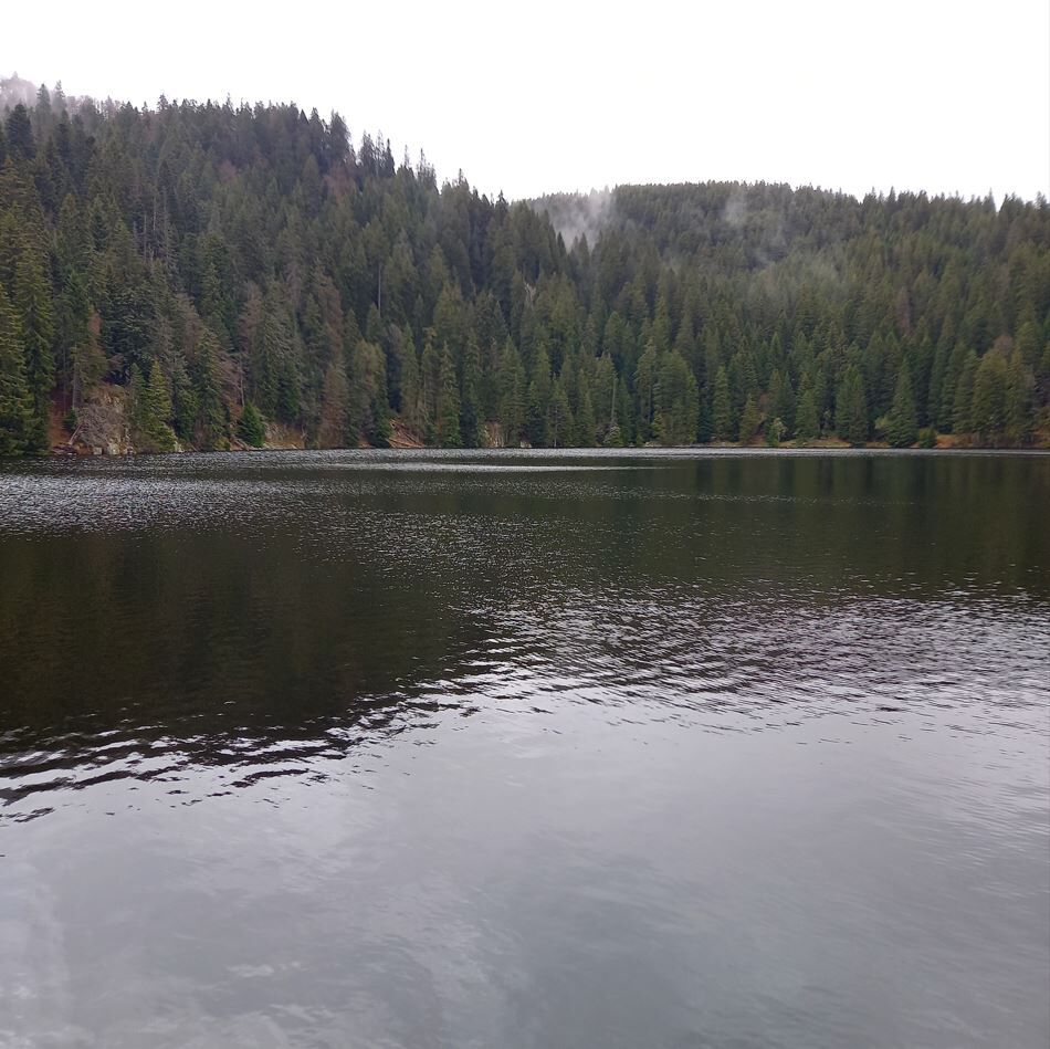

Follow the "green ring" and "blue ring" markings by the Club Vosgien to Rossberg and backtrack to the Col du Bonhomme.
Tak
Recommended equipment
Clothing suitable for the season and conditions (cold, hot, humid...)
Hiking shoes adapted to the terrain (even for children!)
Telescopic poles (useful for stability and to relieve joints)
Mobile phone and spare battery if needed
In case of problem
Call 112 (European emergency number)
5 key points to transmit your alert:
Where? municipality, place, route, altitude
Who? identity, phone number
What? type of accident, number of victims, severity, fall dynamics
When? time of accident Weather? wind, visibility
Dreieck Lac Vert stop
www.fluo.eu
www.parc-ballons-vosges.fr/navette-des-cretes
The Dreieck Lac Vert stop is served by the crest shuttle on weekends in June and September and daily in July and August! Pink line (summit).
no need, it's the crest shuttle
Ballons des Vosges Regional Nature Park
03 89 77 90 20
info@parc-ballons-vosges.fr
This walking idea is part of the collection of scenic walks developed by the Ballons des Vosges Nature Park.
Uzyskaj wgląd
Zawsze na żywo z ponad 9 500 kamer internetowych. bergfex Jako użytkownik Pro, możesz teraz zobaczyć odpowiednie kamery internetowe dla wielu wycieczek w aplikacji wycieczki od. Pozwala to na bezpośredni podgląd aktualnych warunków.
Popularne wycieczki w okolicy
-
4,3
Hiking route - the circuit of the 3 lakes
średniWędrówka 12,7 km -
5,0
Le tétras bistrot - Hohneck - Chapelle Notre-Dame-des-Chaumes - Brasserie de la Schlucht
ciężkiWędrówka 10,7 km -
Vogesen Col de la Schlucht
ciężkiWędrówka 19,3 km -
Tour de l'Altenweiher et Rainkopf, Mittlach, France
średniWędrówka 12,6 km -
4,7
Longemer Col des Feignes Walk
średniWędrówka 8,83 km -
5,0
Hiking route: The Wormsa waterfalls and Fischboedle lake
średniWędrówka 8,15 km -
Vosges Massif Crossing - Stage 15 - Col de la Schlucht - The Markstein
ciężkidługodystansowy szlak pieszy 26,9 km -
Wald, Moor und Panorama
średniWędrówka 9,56 km -
4,0
Hohrod - Wanderung in die Zeit des 1. Weltkrieges
średniWędrówka 7,87 km -
Schafert Farmhouse Walk "Towards a 360 degree high view"
średniWędrówka 5,49 km
Wędrówki i tropienie


Nie przegap ofert i inspiracji na następne wakacje
Twój adres e-mail została dodana do listy mailingowej.





