


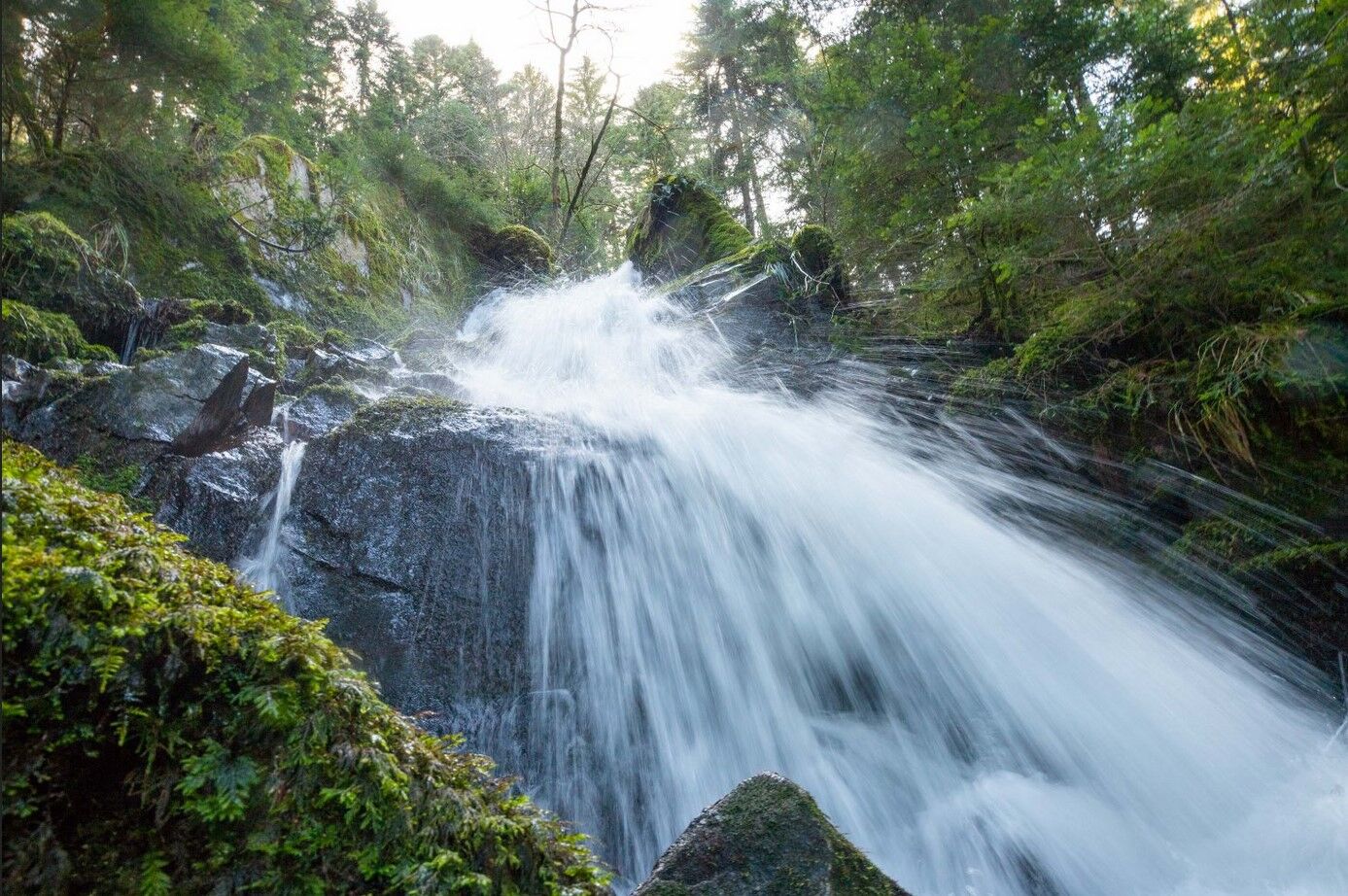
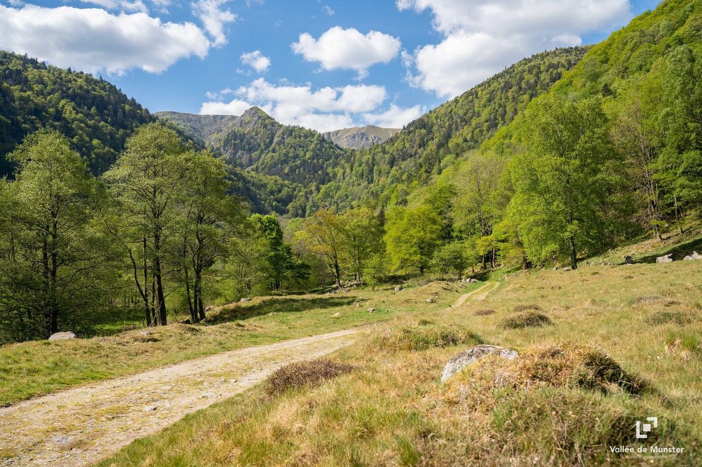
Hiking route: The Wormsa waterfalls and Fischboedle lake
Zdjęcia naszych użytkowników
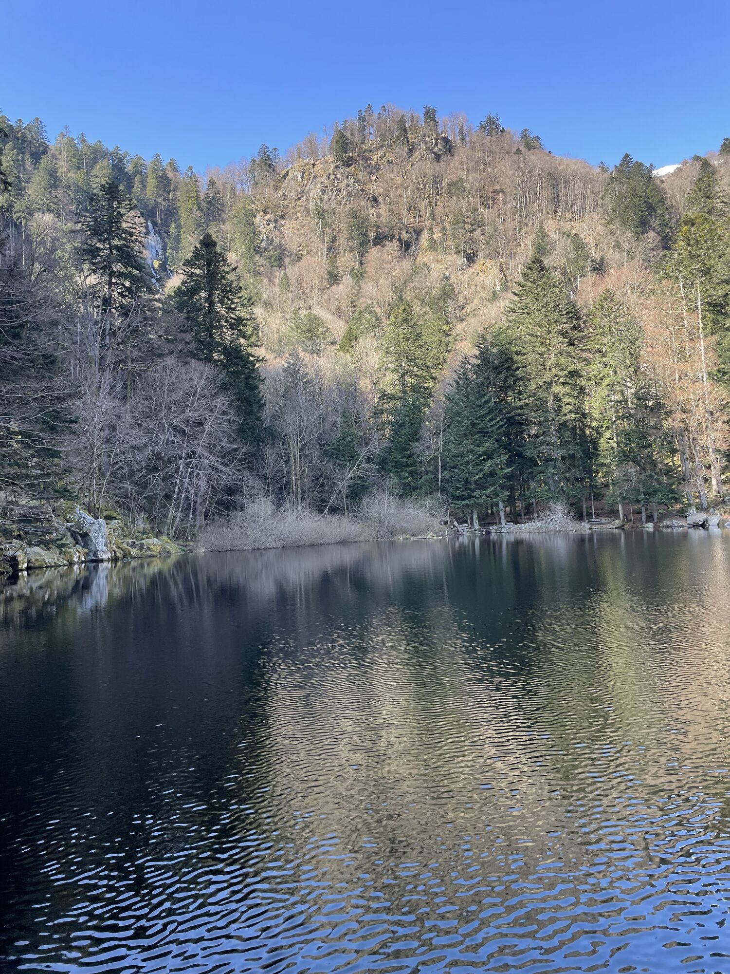
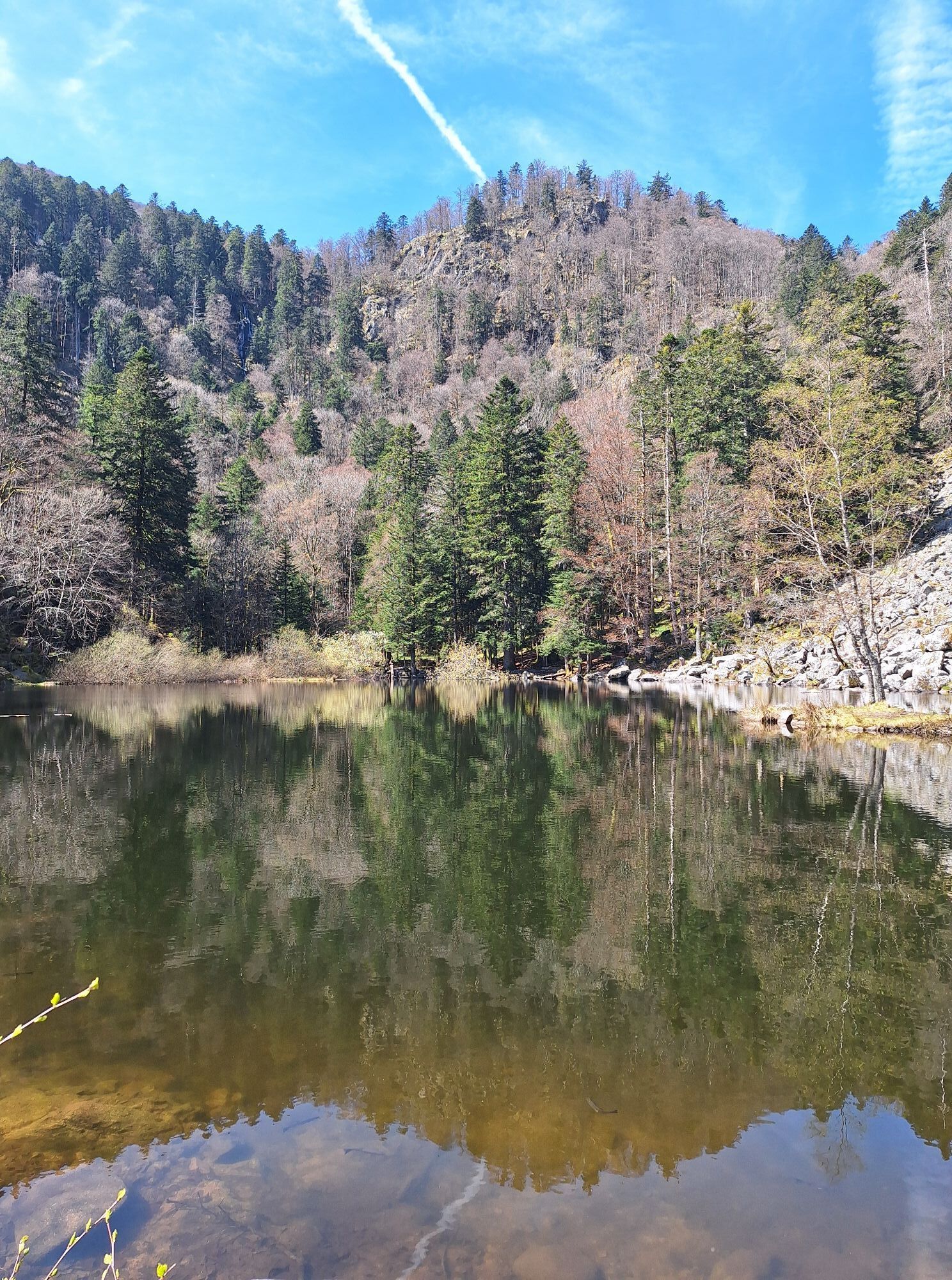

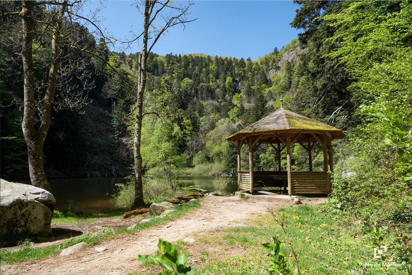
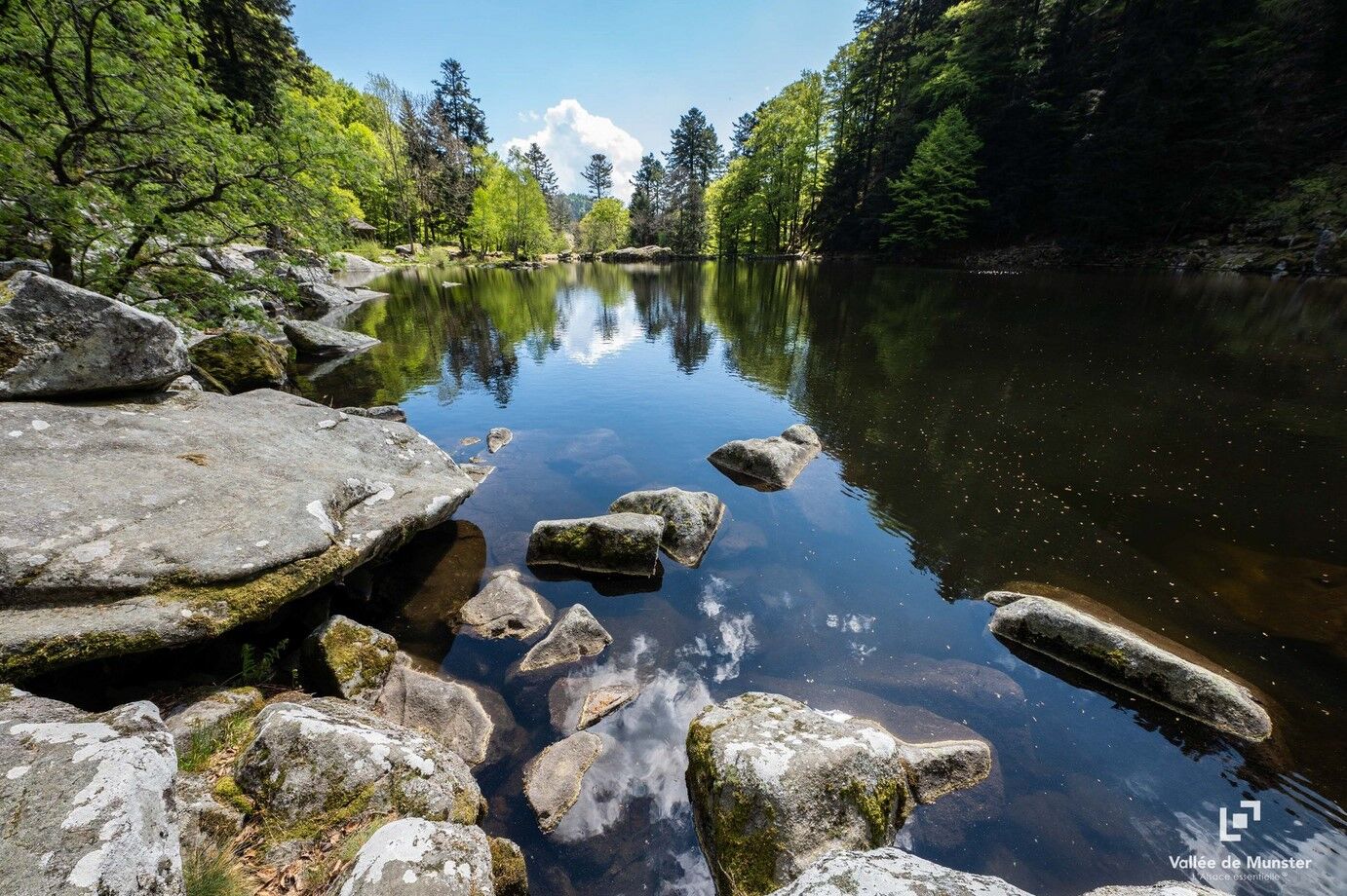
This hike will lead you through the Wormsa waterfalls and to the charming small lake of Fischboedle, recognizable thanks to its belvedere that welcomes the hiker.

see the route
Tak
Recommended equipment
Clothing suitable for the season and conditions (cold, hot, humid…)
Hiking shoes adapted to the terrain (even for children!)
Telescopic poles (useful for stability and to relieve joints)
Mobile phone and spare battery if needed
In case of problem
Call 112 (European emergency number)
5 key points to send your alert:
Where? municipality, location, route, altitude
Who? identity, telephone number
What? type of accident, number of victims, severity, fall dynamics
When? time of the accident Weather? wind, visibility
Steinabruck - Metzeral
www.fluo.eu
Free parking on site
MUNSTER VALLEY TOURIST OFFICE
1 rue du Couvent
68140 Munster
Tel: 03 89 77 31 80
contact@vallee-munster.eu
Popularne wycieczki w okolicy
- 4,3
Hiking route - the circuit of the 3 lakes
średniWędrówka 12,7 km - 5,0
Le tétras bistrot - Hohneck - Chapelle Notre-Dame-des-Chaumes - Brasserie de la Schlucht
ciężkiWędrówka 10,7 km Vogesen Col de la Schlucht
ciężkiWędrówka 19,3 kmGrand Ballon route in 3 days
ciężkidługodystansowy szlak pieszy 54,2 kmTour de l'Altenweiher et Rainkopf, Mittlach, France
średniWędrówka 12,6 km- 4,0
Boucle du Grand Ballon de Goldbach-Altenbach, France
średniWędrówka 14,7 km - 4,7
Longemer Col des Feignes Walk
średniWędrówka 8,83 km Wald, Moor und Panorama
średniWędrówka 9,56 kmVosges Massif Crossing - Stage 15 - Col de la Schlucht - The Markstein
ciężkidługodystansowy szlak pieszy 26,9 km- 4,0
Hohrod - Wanderung in die Zeit des 1. Weltkrieges
średniWędrówka 7,87 km
Wędrówki i tropienie


Nie przegap ofert i inspiracji na następne wakacje
Twój adres e-mail została dodana do listy mailingowej.