





Path - Circuit of the springs
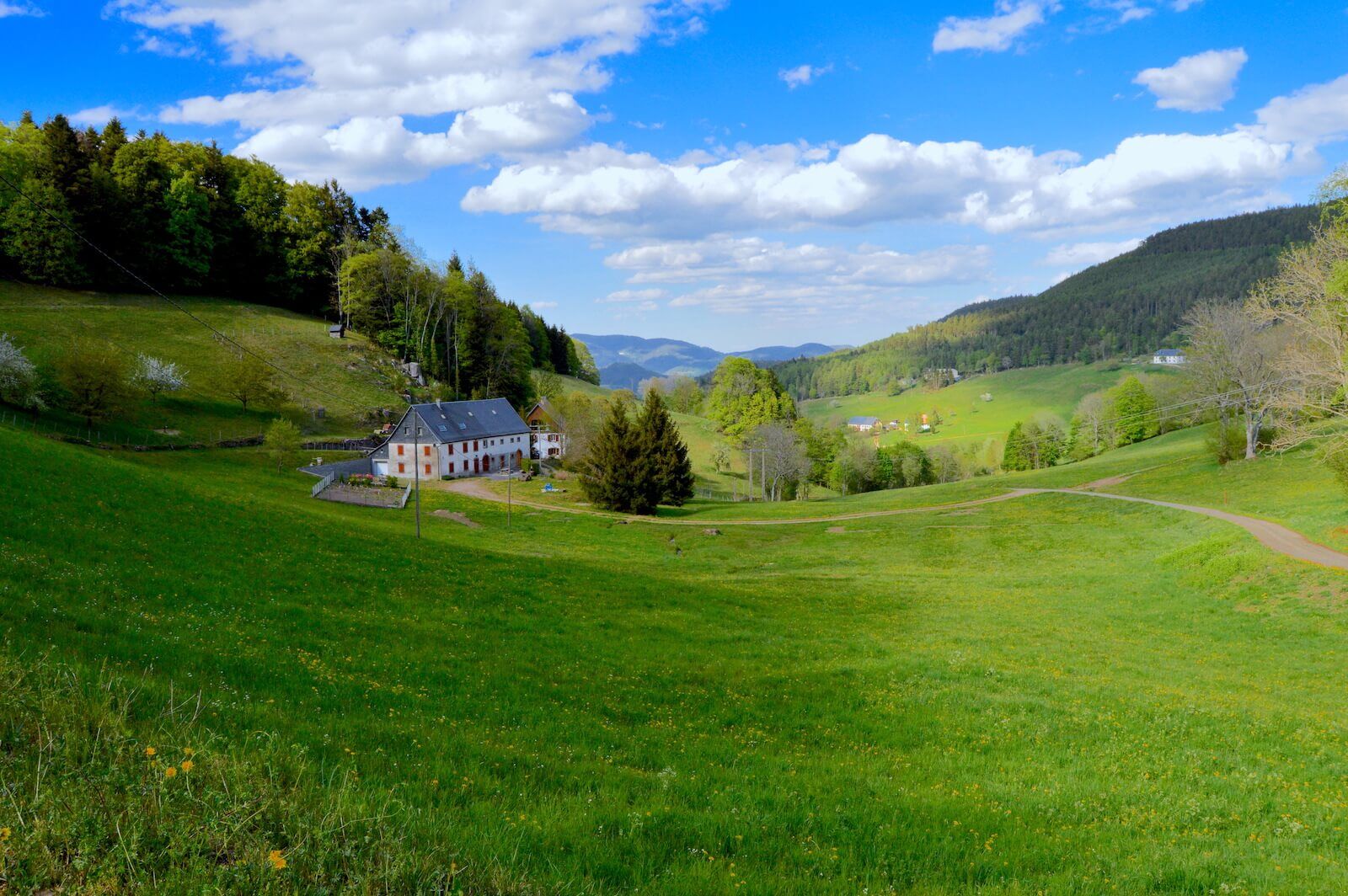
Sublime discovery path of the many springs in the valley (Amélie, Blandine, Catherine, Madelon, Laurence & Elodie). Along the way you will find shelters and picnic tables for a friendly break with family...
Sublime discovery path of the many springs in the valley (Amélie, Blandine, Catherine, Madelon, Laurence & Elodie). Along the way you will find shelters and picnic tables for a friendly break with family or friends. Document "Hiking ideas" including 8 paths & 4 hikes for sale at 2€ in the reception offices of the Tourist Office.

http://apps.tourisme-alsace.info/photos/kaysersberg/photos/230110278_d1.pdf
Tak
Tak
Recommended equipment
Clothing suitable for the season and conditions (cold, hot, humid…)
Hiking shoes adapted to the terrain (even for children!)
Telescopic poles (useful for stability and to relieve joints)
Mobile phone and spare battery if needed
In case of problem
Call 112 (European emergency number)
5 key points to communicate your alert:
Where? municipality, place, route, altitude
Who? identity, phone number
What? type of accident, number of victims, severity, fall dynamics
When? time of the accident Weather? wind, visibility
Orbey 68370
Bus line no. 145 from Colmar
Free parking
Tourist Office of the Kaysersberg Valley
39 rue du Général de Gaulle
68240 Kaysersberg Vignoble
Tel: 03 89 78 22 78
Popularne wycieczki w okolicy
-
4,3
Hiking route - the circuit of the 3 lakes
średniWędrówka 12,7 km -
4,3
Eguisheim zu den 3 Burgen
średniWędrówka 7,90 km -
5,0
Le tétras bistrot - Hohneck - Chapelle Notre-Dame-des-Chaumes - Brasserie de la Schlucht
ciężkiWędrówka 10,7 km -
Vogesen Col de la Schlucht
ciężkiWędrówka 19,3 km -
Tour de l'Altenweiher et Rainkopf, Mittlach, France
średniWędrówka 12,6 km -
Bike route: BL128 - Around Colmar, capital of Alsace wines
światłoJazda na rowerze 23,3 km -
4,7
Longemer Col des Feignes Walk
średniWędrówka 8,83 km -
5,0
Hiking route: The Wormsa waterfalls and Fischboedle lake
średniWędrówka 8,15 km -
Vosges Massif Crossing - Stage 15 - Col de la Schlucht - The Markstein
ciężkidługodystansowy szlak pieszy 26,9 km -
4,0
Hohrod - Wanderung in die Zeit des 1. Weltkrieges
średniWędrówka 7,87 km
Wędrówki i tropienie


Nie przegap ofert i inspiracji na następne wakacje
Twój adres e-mail została dodana do listy mailingowej.





