


Gérardmer trail circuit n°1 (green) - Tour of the slopes
Zdjęcia naszych użytkowników
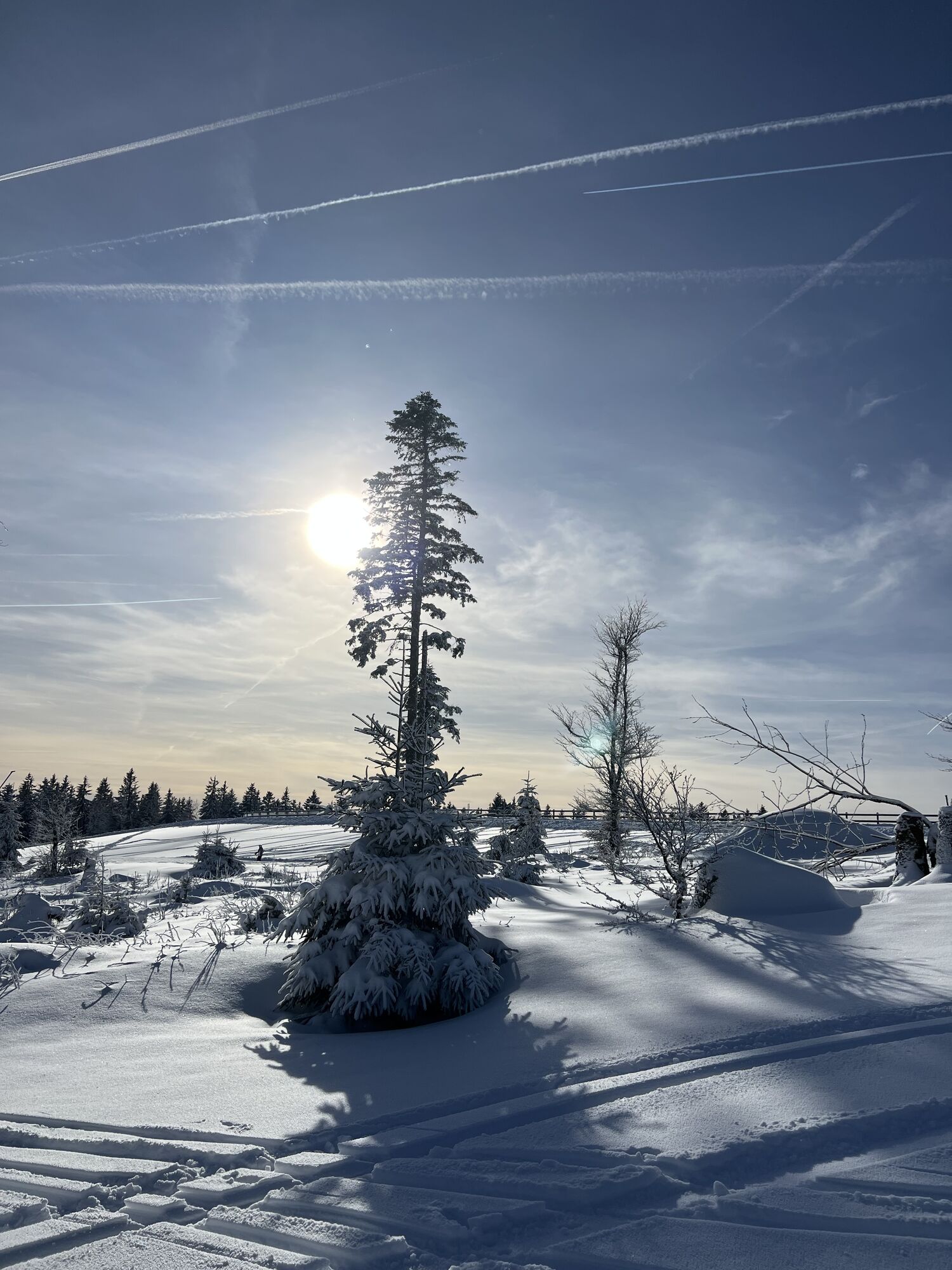
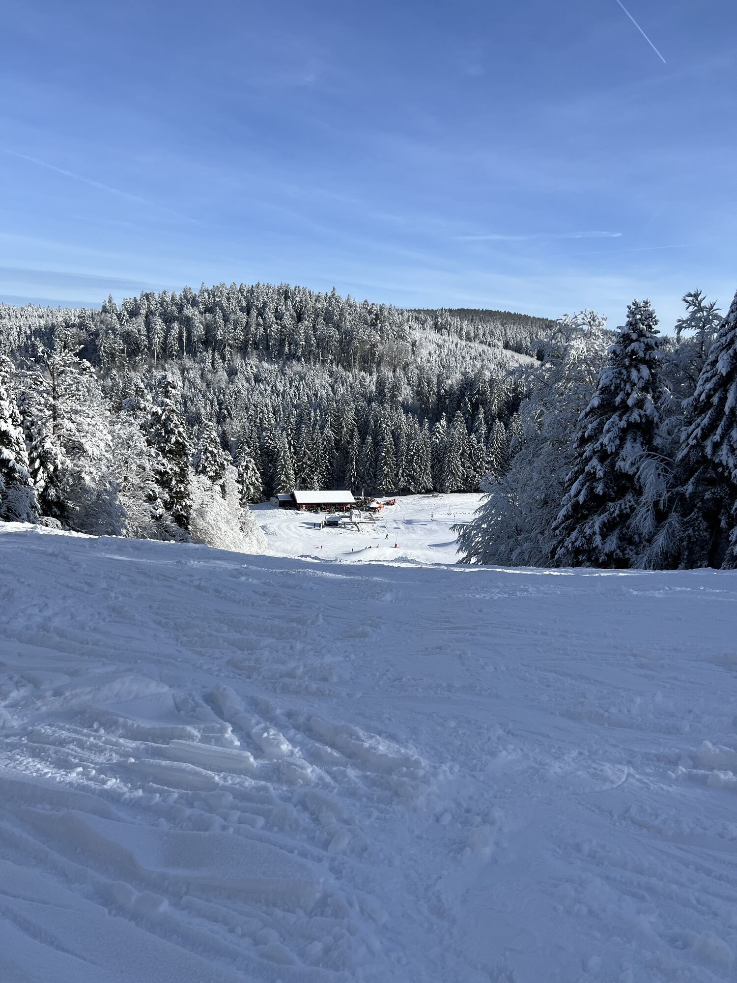
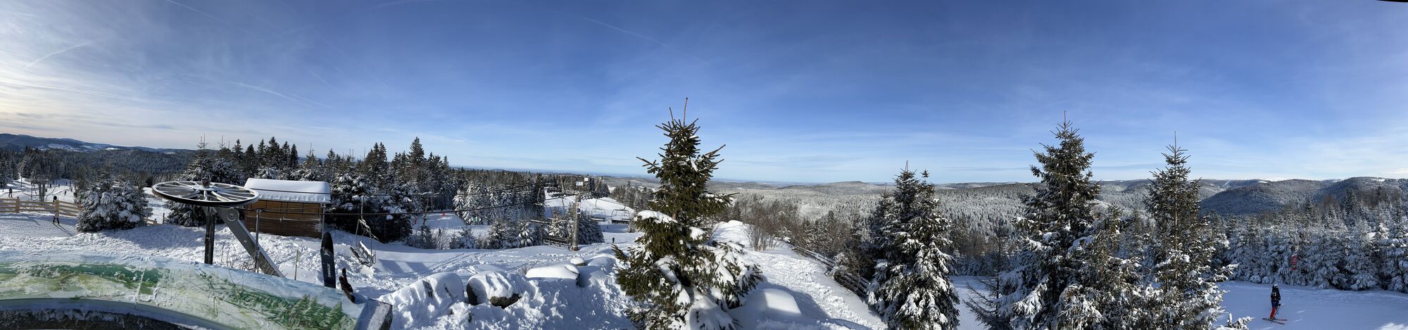
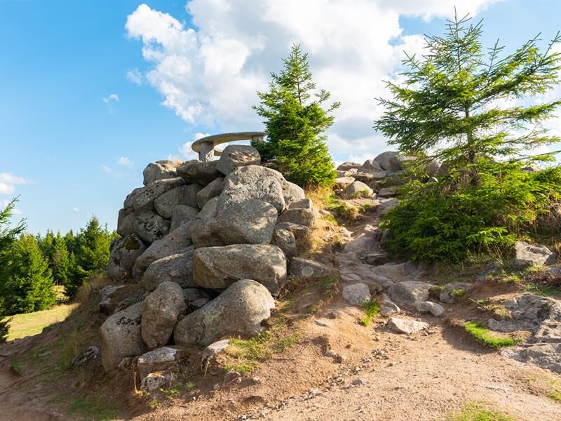
Gradually uphill through the slopes to the Tête de Grouvelin (Gérardmer's highest point), then downhill in the 2nd half to return to the starting point. Follow the green N°1 markers (6.5km, 271m D+). Estimated...
Gradually uphill through the slopes to the Tête de Grouvelin (Gérardmer's highest point), then downhill in the 2nd half to return to the starting point. Follow the green N°1 markers (6.5km, 271m D+). Estimated time: 30 min to 1h20, depending on ability.

see tourist office website
Clothing suited to the season and conditions (cold, hot, wet...)
Hiking shoes suited to the terrain (even for children!)
Telescopic poles (useful for stability and to take pressure off joints)
Cell phone and spare battery if necessary.
Call 112 (European emergency number)
5 key points for transmitting your alert:
Where? town, location, itinerary, altitude
Who? identity, telephone number
What? type of accident, number of victims, severity, fall kinetics
When? time of accidentWeather? wind, visibility
Gérardmer (88)
www.fluo.eu
Free on-site parking
https://gerardmer.net/randos-et-balades-trail.php
Kamery internetowe z trasy
Popularne wycieczki w okolicy
-
5,0
Le tétras bistrot - Hohneck - Chapelle Notre-Dame-des-Chaumes - Brasserie de la Schlucht
ciężkiWędrówka 10,7 km -
Vogesen Col de la Schlucht
ciężkiWędrówka 19,3 km -
4,3
Hike around Lake Gérardmer
światłoWędrówka 5,49 km -
Tour de l'Altenweiher et Rainkopf, Mittlach, France
średniWędrówka 12,6 km -
4,7
Balade Longemer Col des Feignes
średniWędrówka 8,83 km -
Wald, Moor und Panorama
średniWędrówka 9,56 km -
Crossing the Vosges Mountains - Stage 15 - Col de la Schlucht - Le Markstein
ciężkidługodystansowy szlak pieszy 26,9 km -
5,0
Hiking route: The Wormsa waterfalls and Fischboedle lake
średniWędrówka 8,15 km -
Schafert Farmhouse Walk "Towards a 360 degree high view"
średniWędrówka 5,49 km -
4,0
Le tétras bistrot - Hôtel - Restaurant du Chalet - Chapelle Notre-Dame-des-Chaumes - La Schlucht
średniWędrówka 5,95 km

Wędrówki i tropienie


Nie przegap ofert i inspiracji na następne wakacje
Twój adres e-mail została dodana do listy mailingowej.