





Mountain bike route M4: Gaschney circuit
Poziom trudności: S2
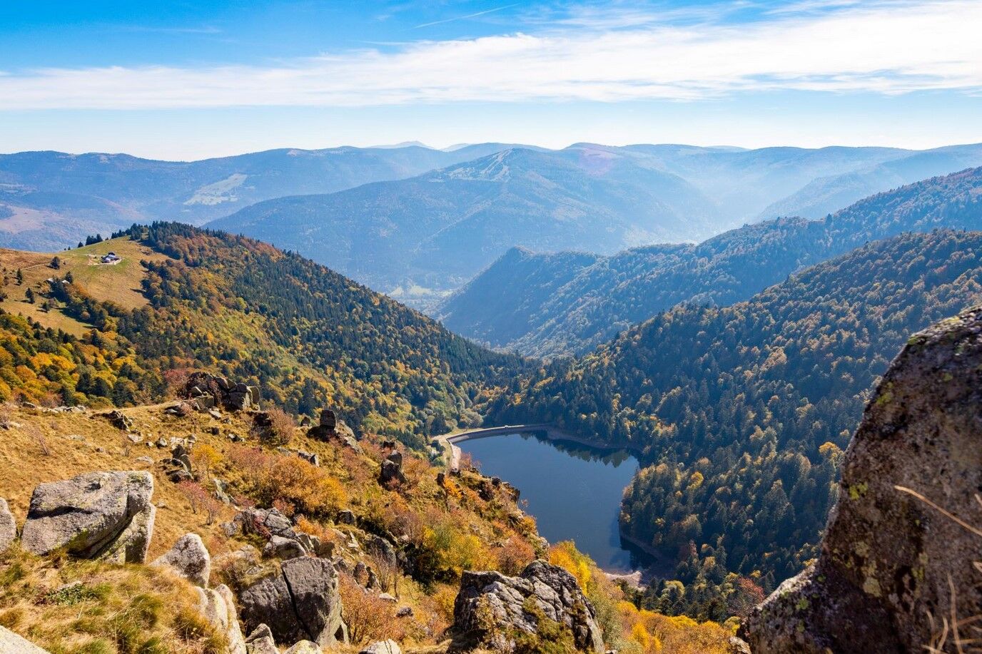
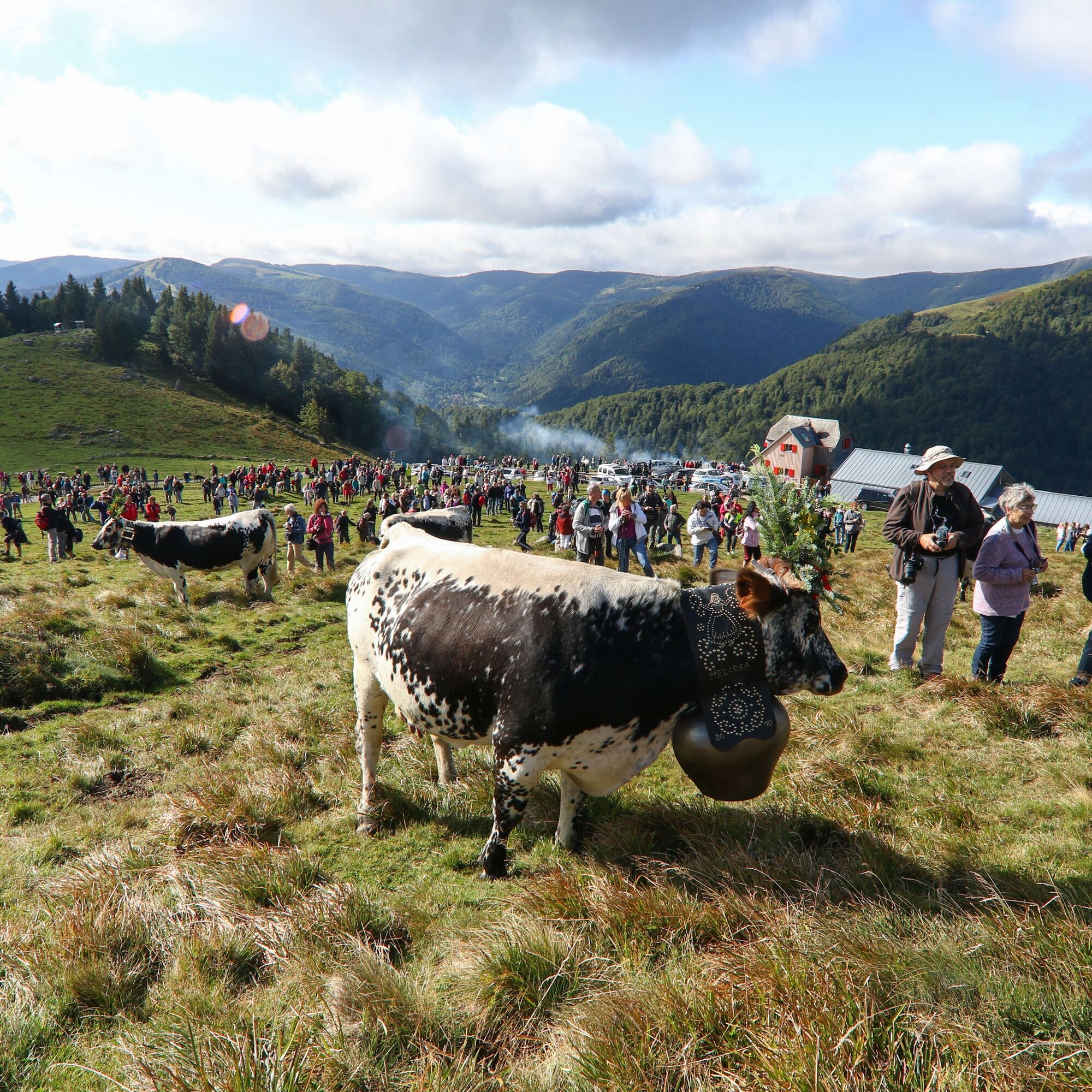
Set out to conquer the Gaschney, a mountain resort at the foot of the Hohneck, a mythical peak of the Vosges massif. You will discover the heights of Munster, the forests around the Sattel and its World...
Set out to conquer the Gaschney, a mountain resort at the foot of the Hohneck, a mythical peak of the Vosges massif. You will discover the heights of Munster, the forests around the Sattel and its World War I remains, and finally the riches of the summits of the Munster valley.
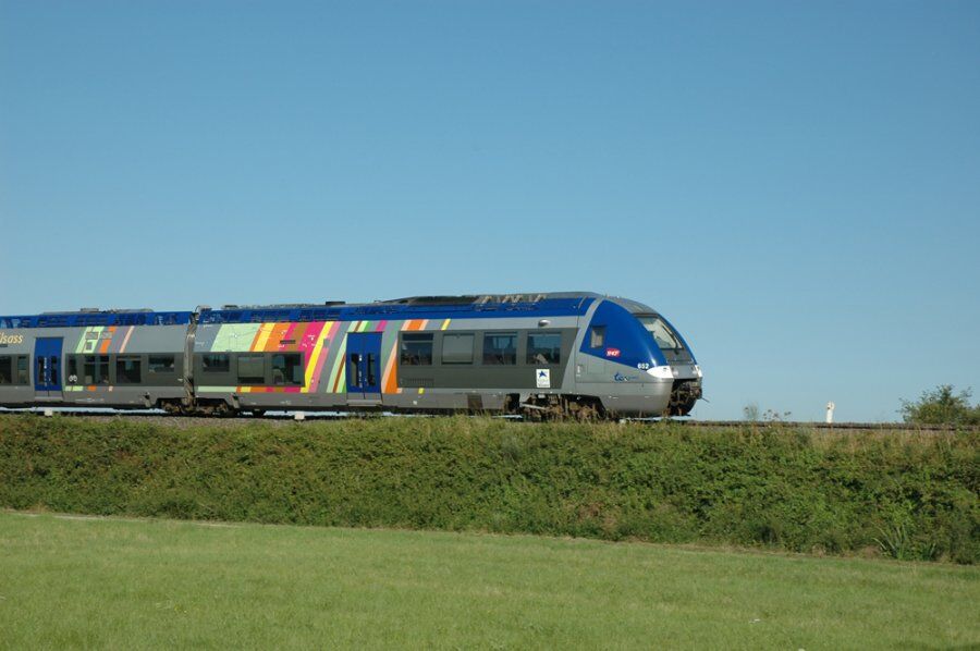
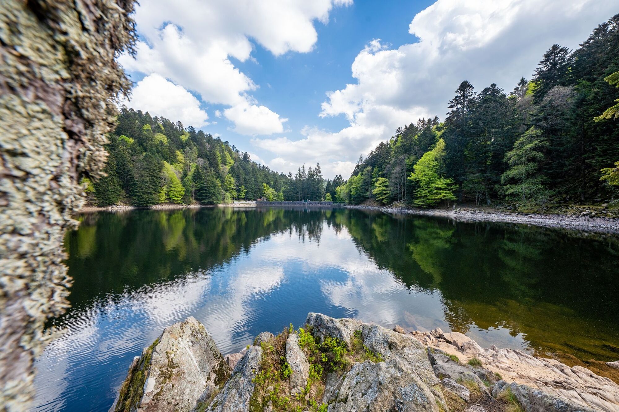
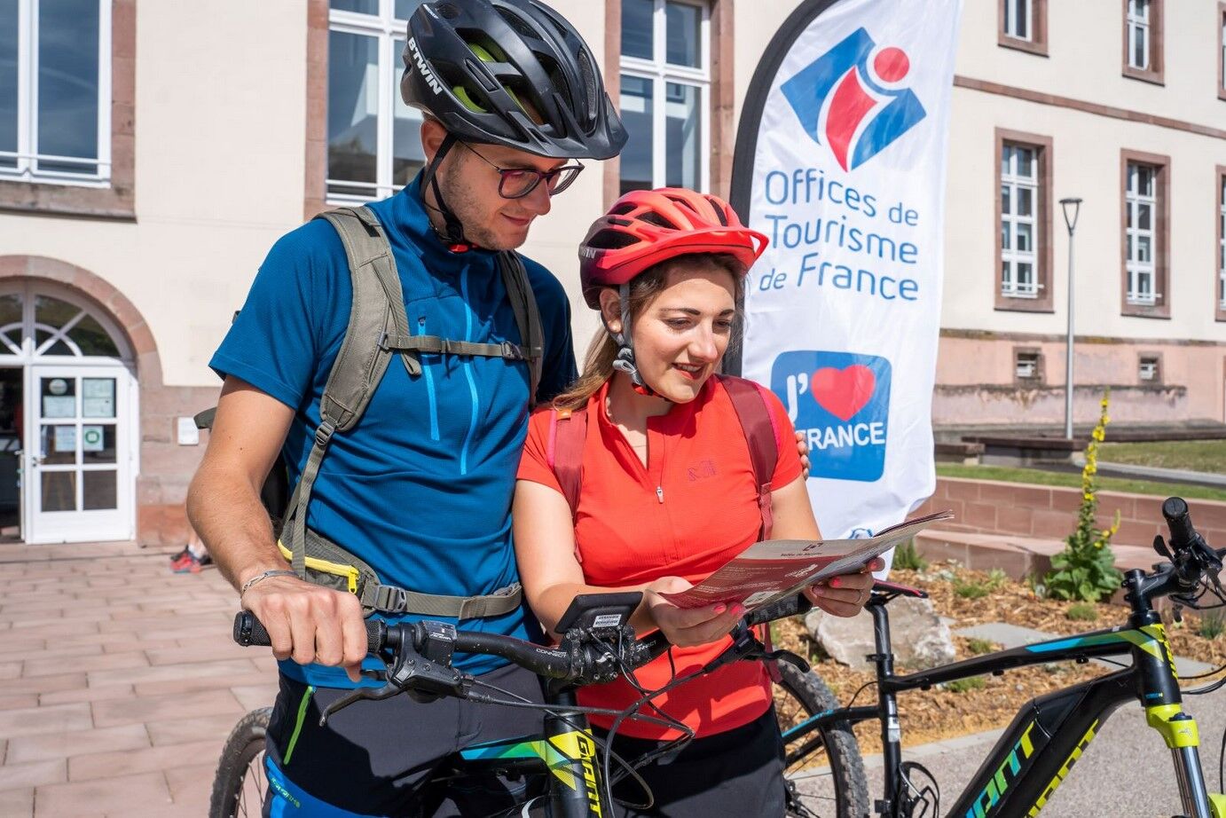
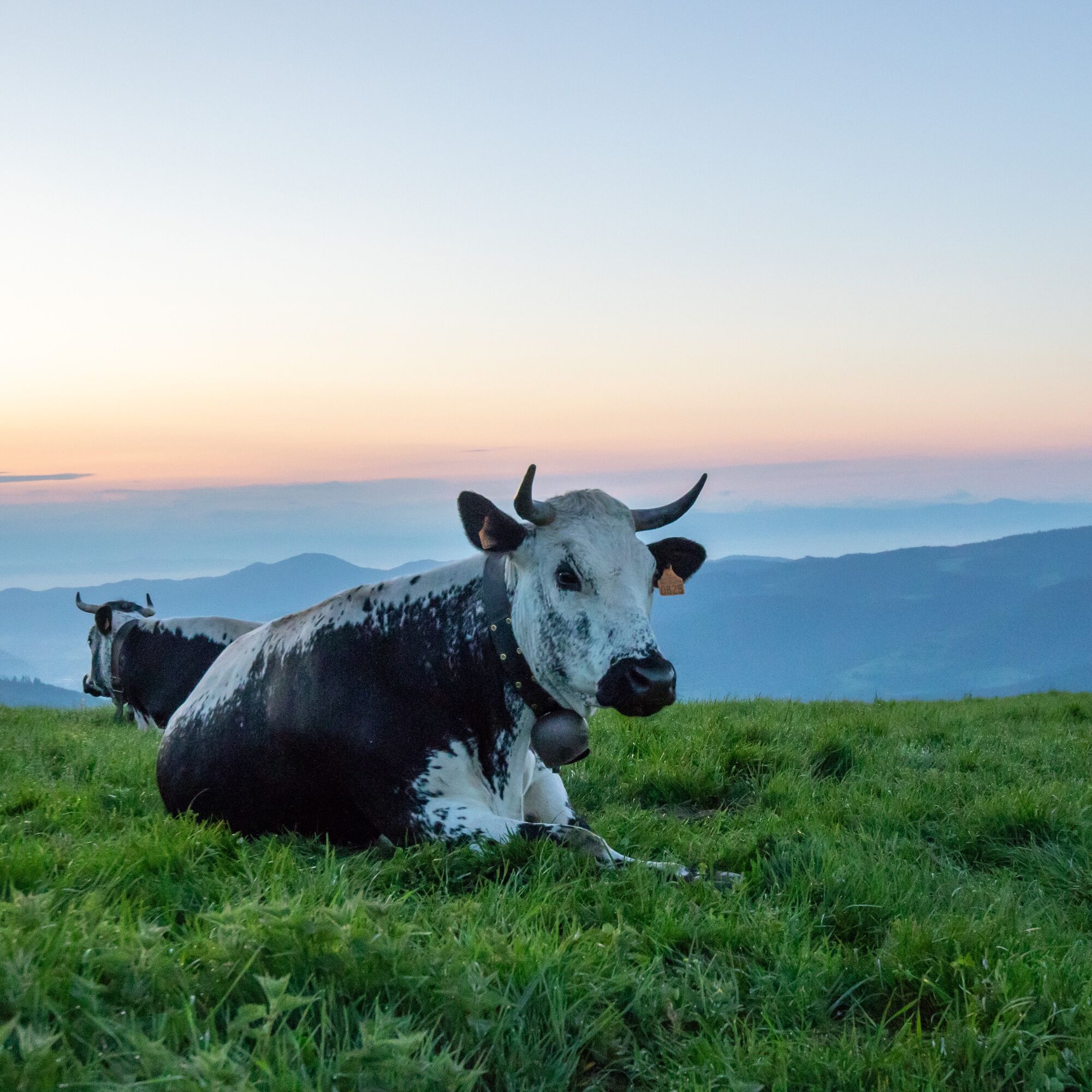

detailed route
Wearing a helmet is strongly recommended
Safety instructions
Emergency number: 112
Mountain biking as you like! but…
Use marked trails for your safety and respect the direction of routes
Do not overestimate your abilities and remain in control of your speed
Be careful and courteous when overtaking or crossing hikers as pedestrians have priority
Check the condition of your mountain bike and plan supplies and repair accessories
If you go alone, leave your itinerary with someone
Respect private property and cultivated areas
Beware of agricultural and forestry machinery
Close the gates
Avoid wild picking of flowers, fruits, and mushrooms
Do not disturb the peace of wild animals
Keep your waste, be discreet and respectful of the environment
Munster TER station
www.fluo.eu
Free parking on site
S2
MUNSTER VALLEY TOURIST OFFICE
1 rue du Couvent 68140 Munster
Tel: 03 89 77 31 80
contact@vallee-munster.eu
www.vallee-munster.eu
Reachable by train!
Uzyskaj wgląd
Zawsze na żywo z ponad 9 500 kamer internetowych. bergfex Jako użytkownik Pro, możesz teraz zobaczyć odpowiednie kamery internetowe dla wielu wycieczek w aplikacji wycieczki od. Pozwala to na bezpośredni podgląd aktualnych warunków.
Popularne wycieczki w okolicy
-
4,3
Hiking route - the circuit of the 3 lakes
średniWędrówka 12,7 km -
5,0
Le tétras bistrot - Hohneck - Chapelle Notre-Dame-des-Chaumes - Brasserie de la Schlucht
ciężkiWędrówka 10,7 km -
Vogesen Col de la Schlucht
ciężkiWędrówka 19,3 km -
Tour de l'Altenweiher et Rainkopf, Mittlach, France
średniWędrówka 12,6 km -
Grand Ballon route in 3 days
ciężkidługodystansowy szlak pieszy 54,2 km -
4,7
Longemer Col des Feignes Walk
średniWędrówka 8,83 km -
5,0
Hiking route: The Wormsa waterfalls and Fischboedle lake
średniWędrówka 8,15 km -
Vosges Massif Crossing - Stage 15 - Col de la Schlucht - The Markstein
ciężkidługodystansowy szlak pieszy 26,9 km -
Wald, Moor und Panorama
średniWędrówka 9,56 km -
4,0
Hohrod - Wanderung in die Zeit des 1. Weltkrieges
średniWędrówka 7,87 km
Wędrówki i tropienie


Nie przegap ofert i inspiracji na następne wakacje
Twój adres e-mail została dodana do listy mailingowej.





