






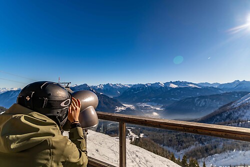
Mountain Bike route: Vosgian Foothills

Poziom trudności: S1
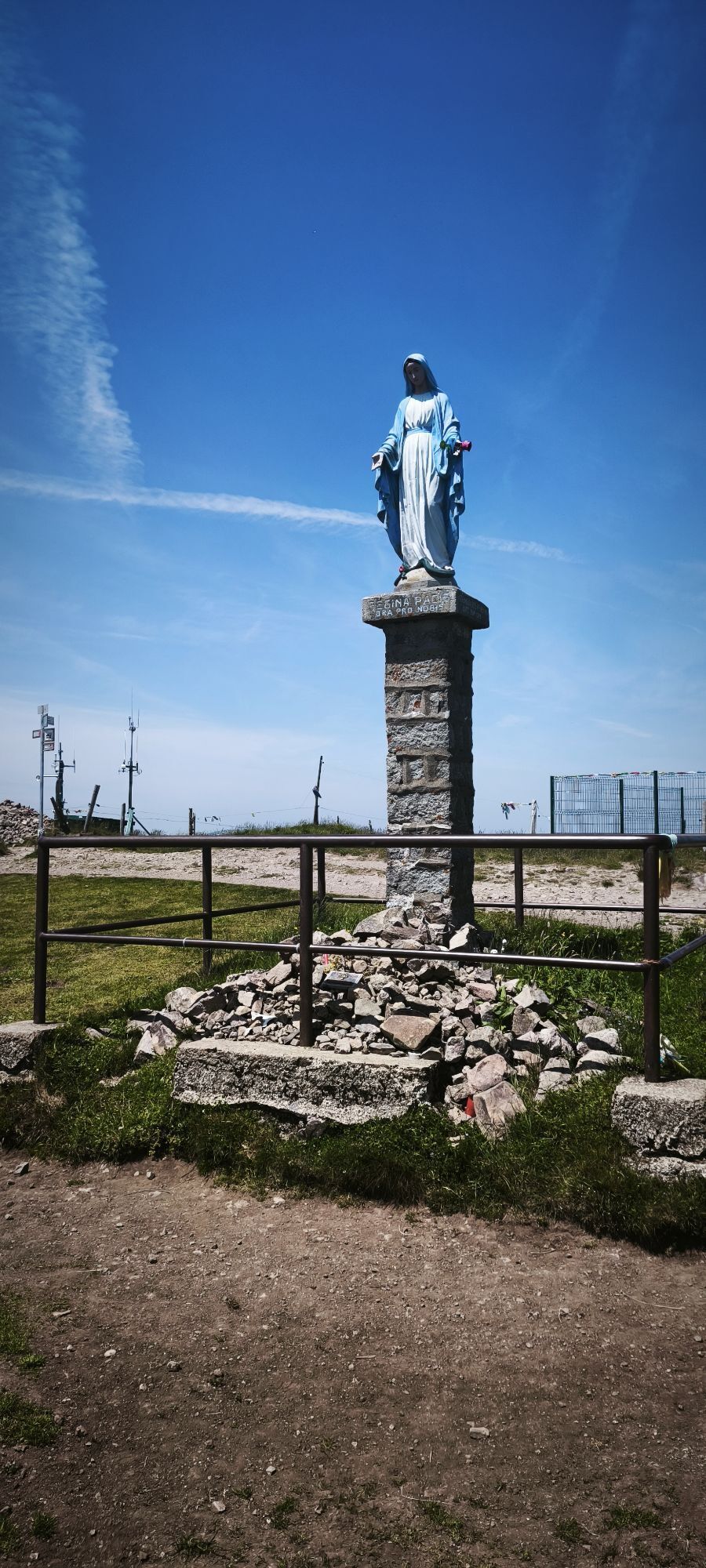
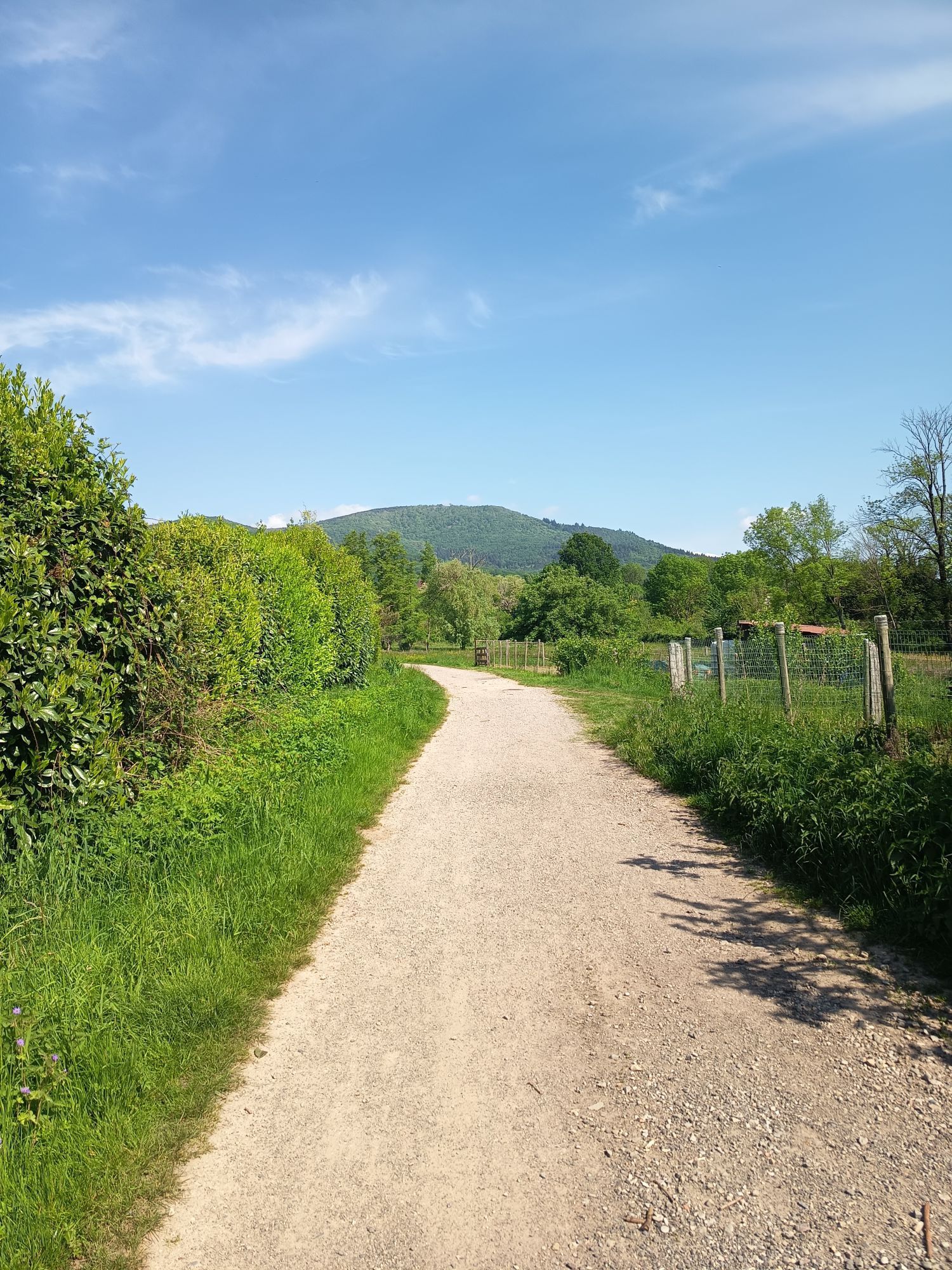
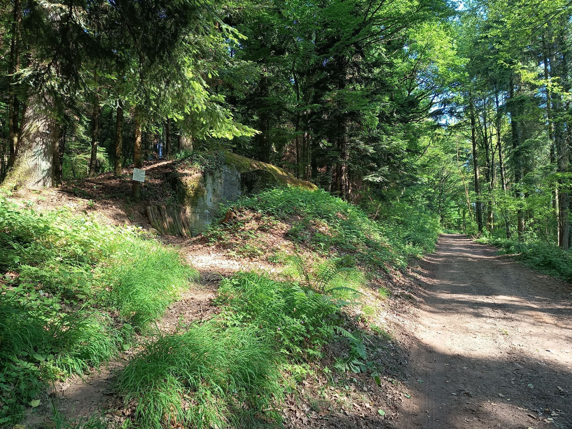
The first wine cellars reveal themselves on this route, a stop is a must, and it is also part of discovering the region!
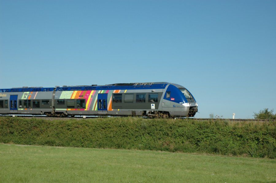

This route is marked by the wine-growing villages of the Southern Gate of the Wine Route, accompanied by rows of vines and a view of the Alsace plain!
Wearing a helmet is strongly recommended
Safety instructions
Emergency number: 112
Mountain biking as you like! but…
Use marked trails for your safety and respect the direction of the routes
Do not overestimate your abilities and stay in control of your speed
Be careful and courteous when overtaking or crossing hikers as pedestrians have priority
Check the condition of your mountain bike and bring supplies and repair accessories
If you go alone, leave your route with someone you trust
Respect private property and cultivated areas
Beware of agricultural and forestry machinery
Close gates behind you
Avoid picking wild flowers, fruits, and mushrooms
Do not disturb the peace of wild animals
Take your trash with you, be discreet and respectful of the environment
Cernay
www.fluo.eu
free parking on site
S1
Thann-Cernay Tourist Office
Tel: 03 89 37 96 20
info@tourisme-thann-cernay.fr
www.tourisme-thann-cernay.fr
Accessible by train!
Popularne wycieczki w okolicy
-
4,0
Boucle du Grand Ballon de Goldbach-Altenbach, France
średniWędrówka 14,7 km -
5,0
Visit of the Hartmannswillerkopf battlefield
światłoWędrówka 5,45 km -
The Thannerhubel at Bourbach-le-Haut
średniWędrówka 7,32 km -
Crossing of the Vosges Massif - Stage 16 - Le Markstein - Thann
ciężkidługodystansowy szlak pieszy 28,0 km -
Farm-Auberge Grand Ballon walk "Under the highest peak of the Vosges"
światłoWędrówka 5,16 km -
Haag Farm-Inn walk "Between the shade of the beech woods and the light of the high pastures"
średniWędrówka 5,83 km -
Glashütte Farm-Inn Walk - Walk in the Belchenwald forest
średniWędrówka 4,71 km -
Wine trail of the Coteaux du vieil-Armand in Uffholtz
średniWędrówka 5,60 km -
4,5
La Vue des Alpes - Col du Grand Ballon - Grand Ballon - Murbach
średniWędrówka 1,78 km -
From the Great Ridge to the Alsace vineyard
średniWędrówka 41,4 km
Wędrówki i tropienie


Nie przegap ofert i inspiracji na następne wakacje
Twój adres e-mail została dodana do listy mailingowej.





