Nawigacja
Pobierz tę trasę na swój telefon komórkowy
Mapa
The GR de Pays of Tour de la Vologne - Grandes Echappées Vosgiennes
średni
długodystansowy szlak pieszy
148,99 km
Zeskanuj kod QR i rozpocznij nawigację w aplikacji bergfex.
QR Code
Wędrówki i tropienie

The GR de Pays of Tour de la Vologne - Grandes Echappées Vosgiennes
średni
długodystansowy szlak pieszy
Odległość
149,0 km
Czas trwania
53:00 h
Ascent
3 301 hm
Poziom morza
355 - 1 358 m
Ścieżka do pobrania
Mapa
The GR de Pays of Tour de la Vologne - Grandes Echappées Vosgiennes
średni
długodystansowy szlak pieszy
148,99 km

Zdjęcia naszych użytkowników

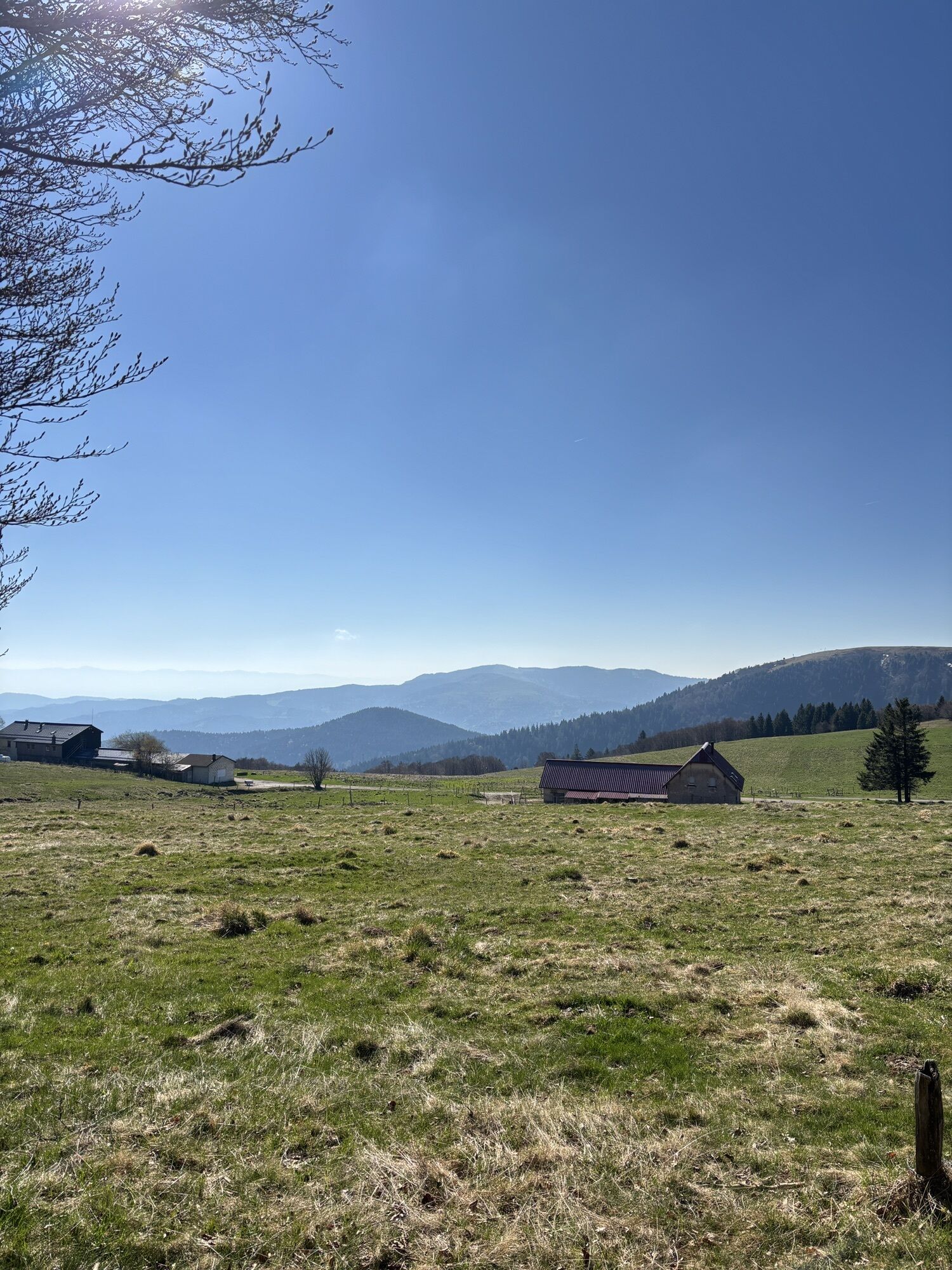
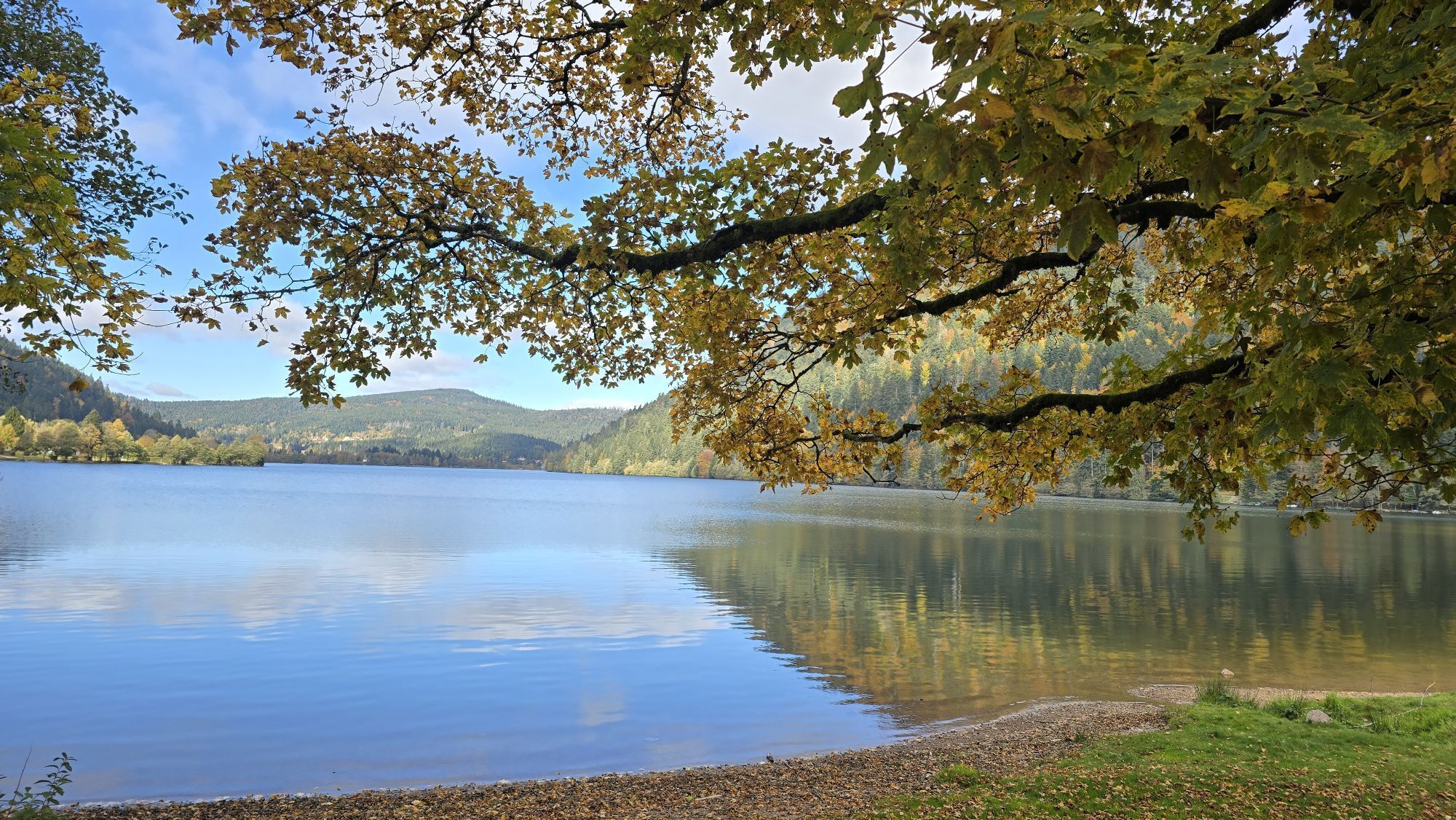
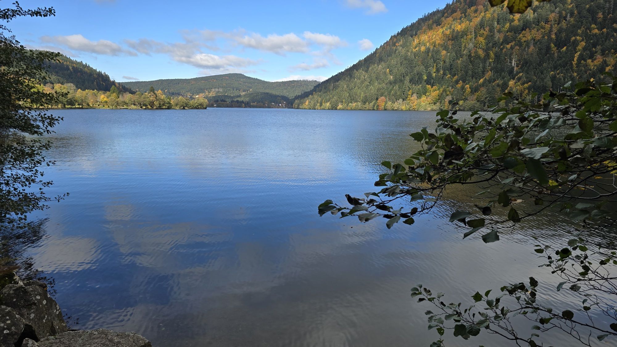
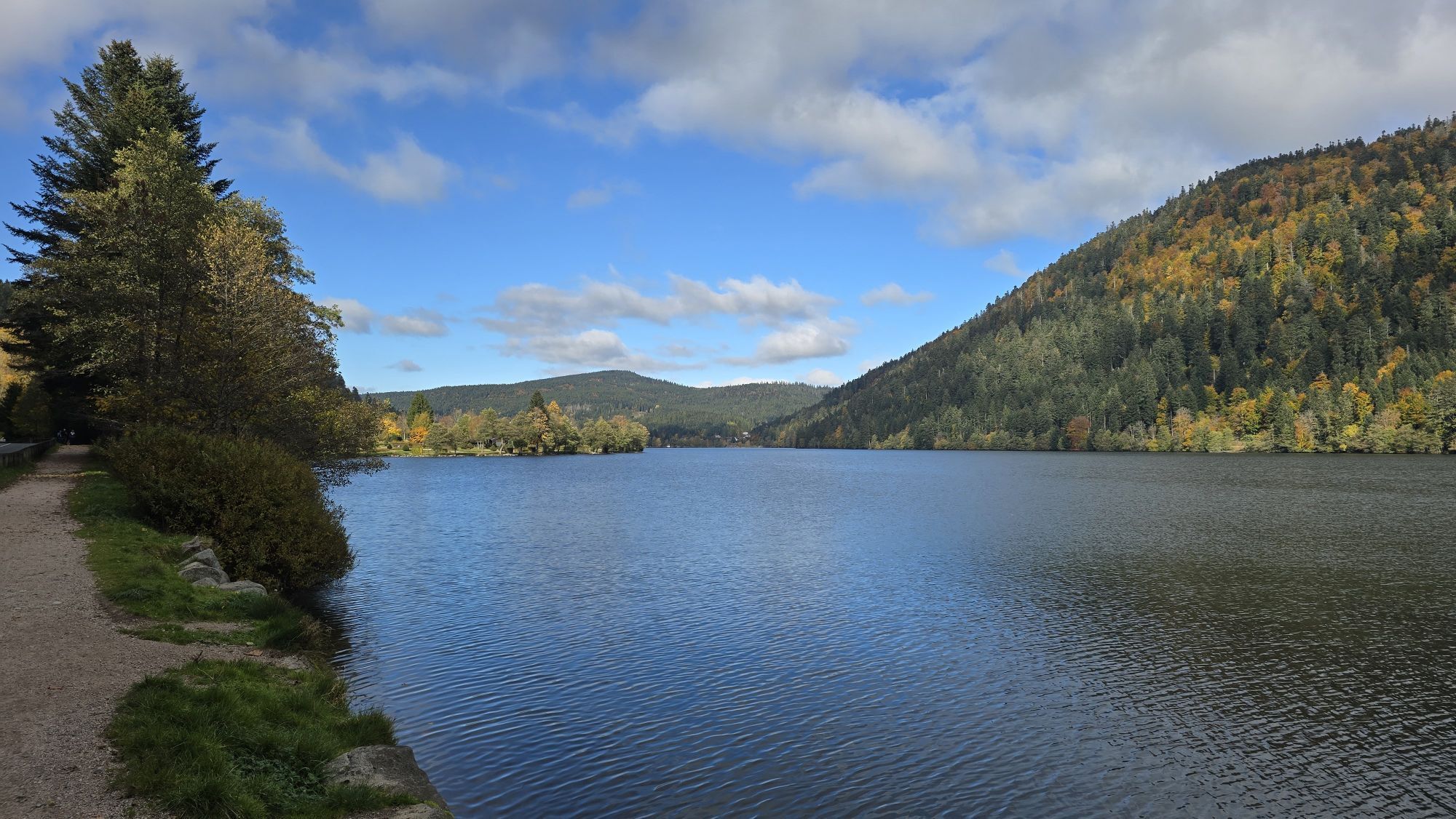
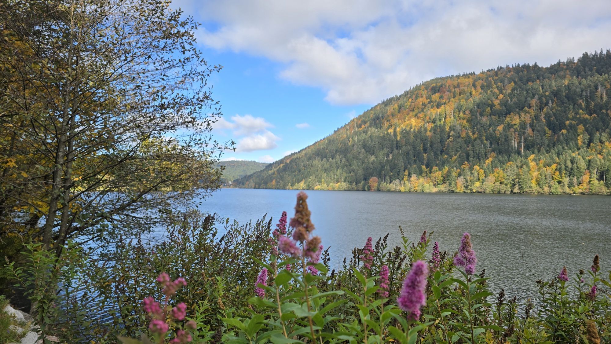
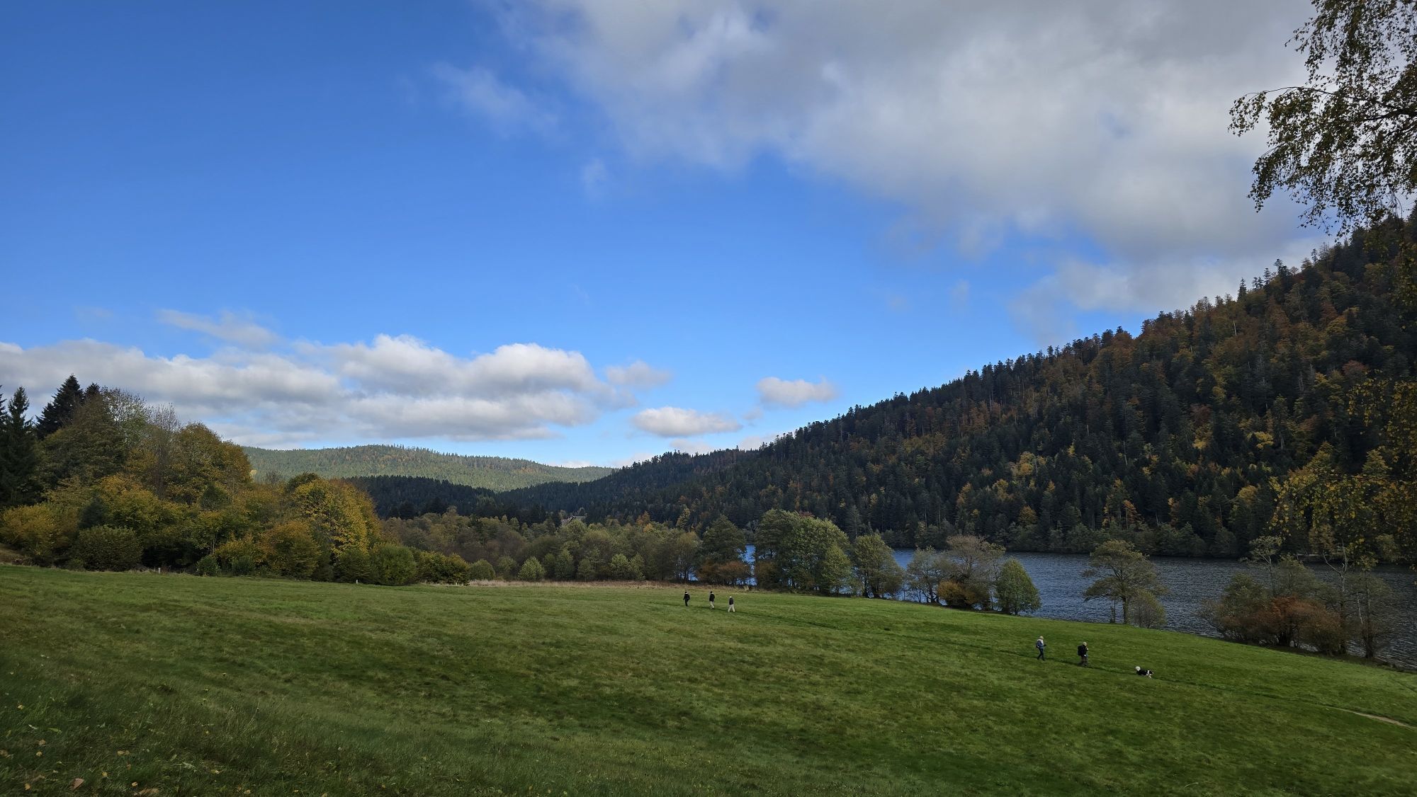
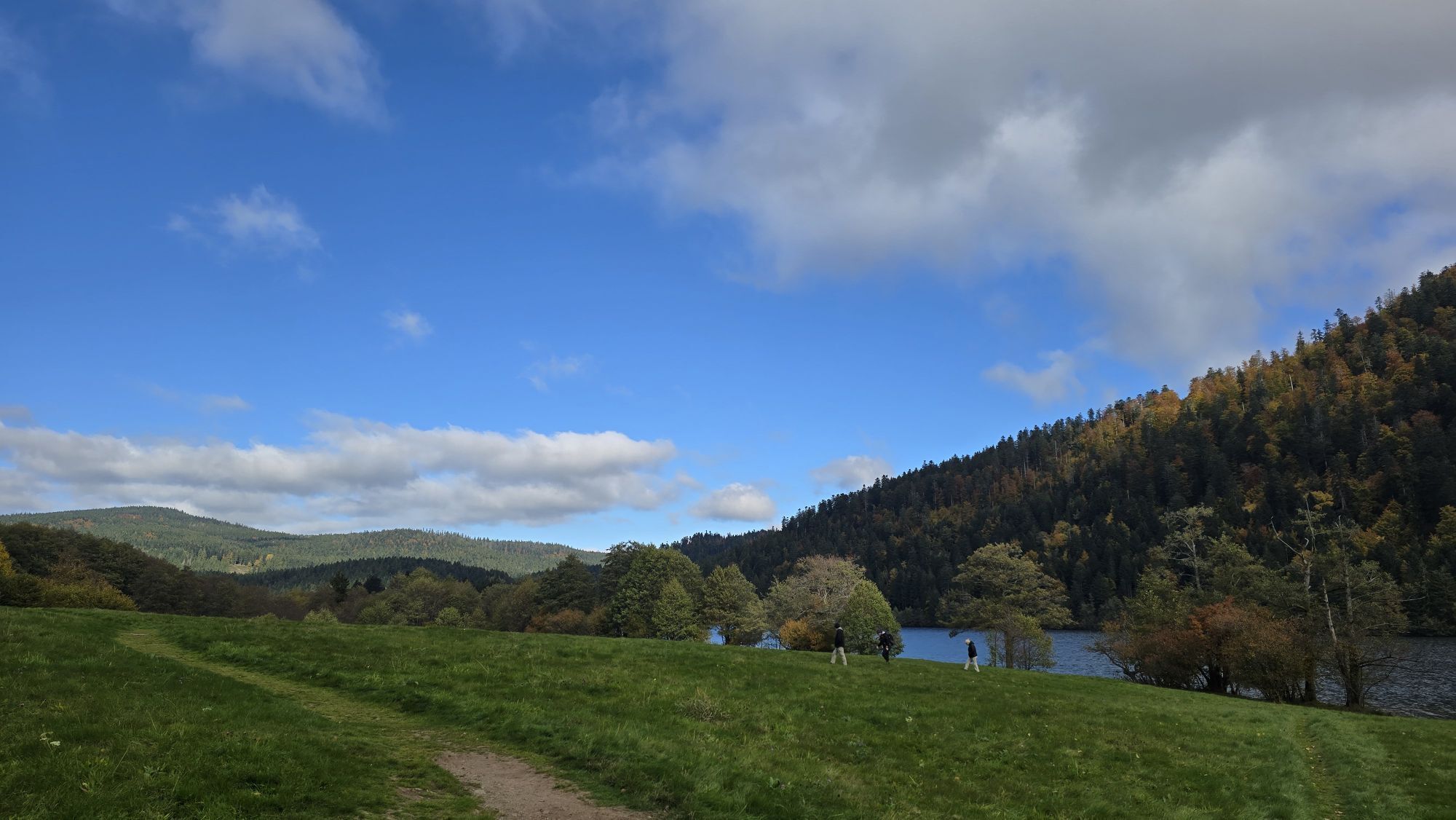
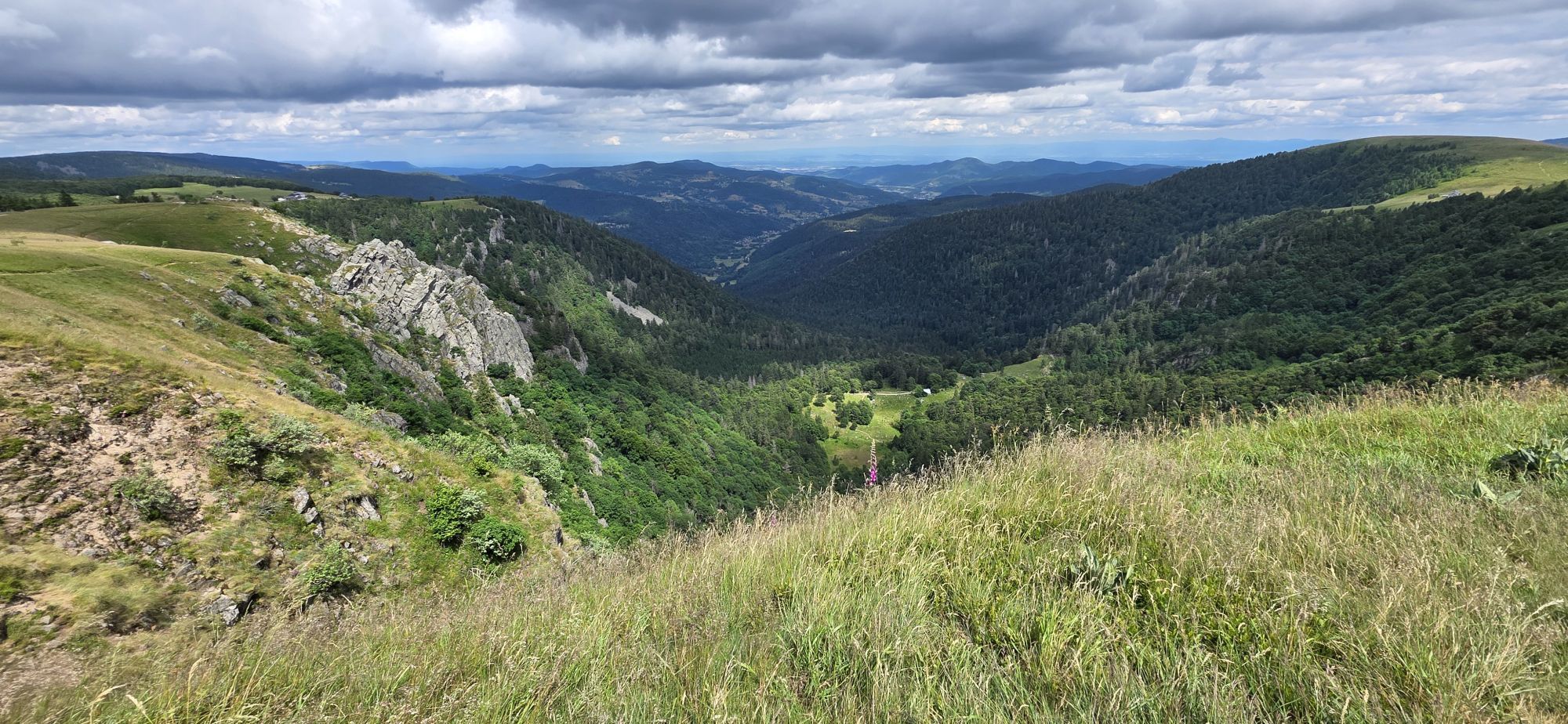
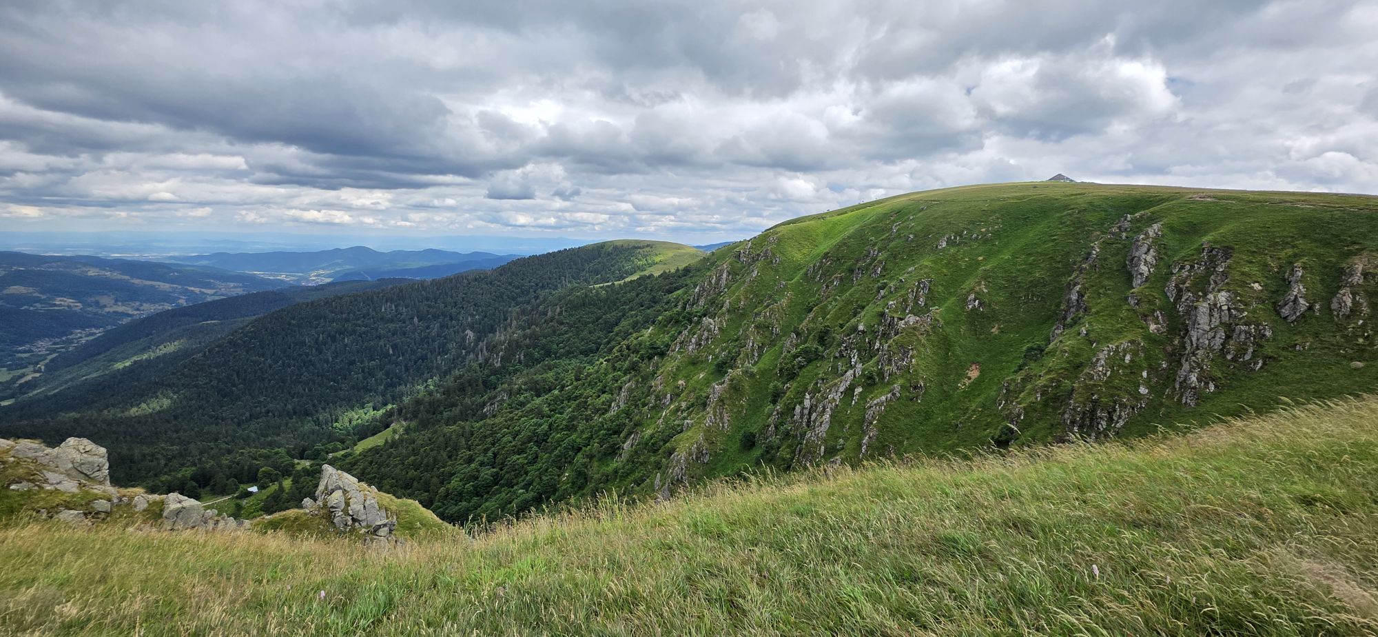
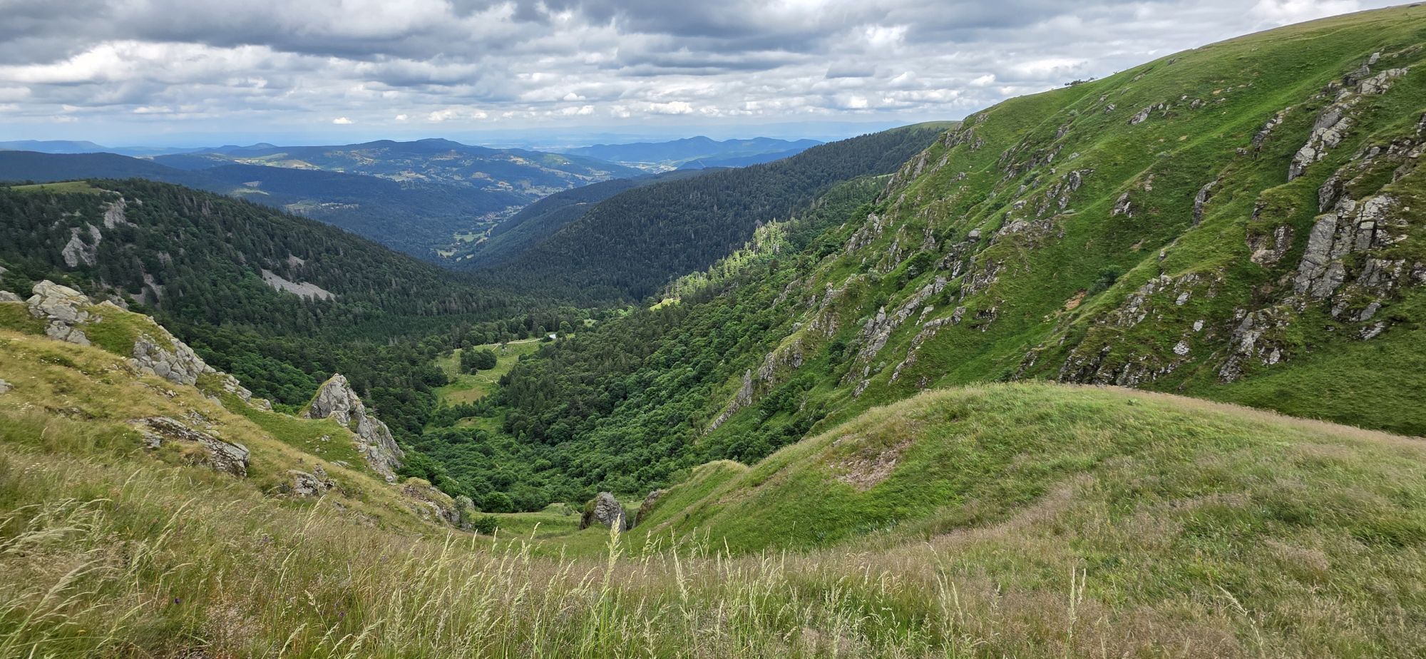
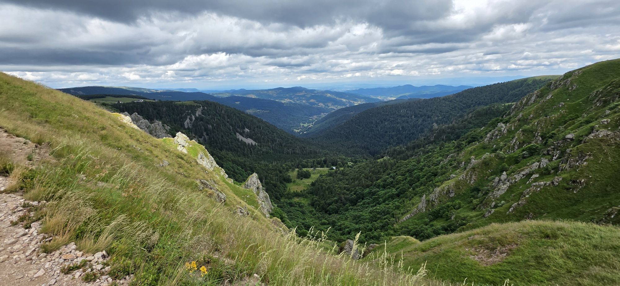
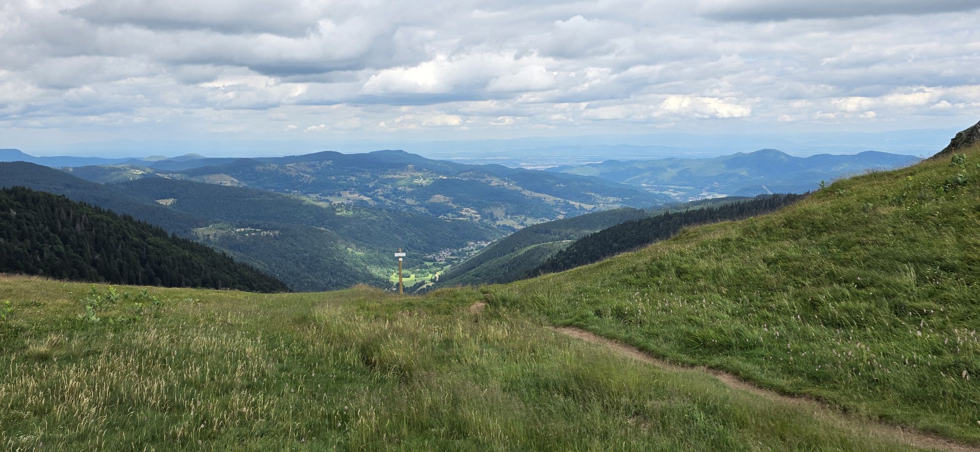
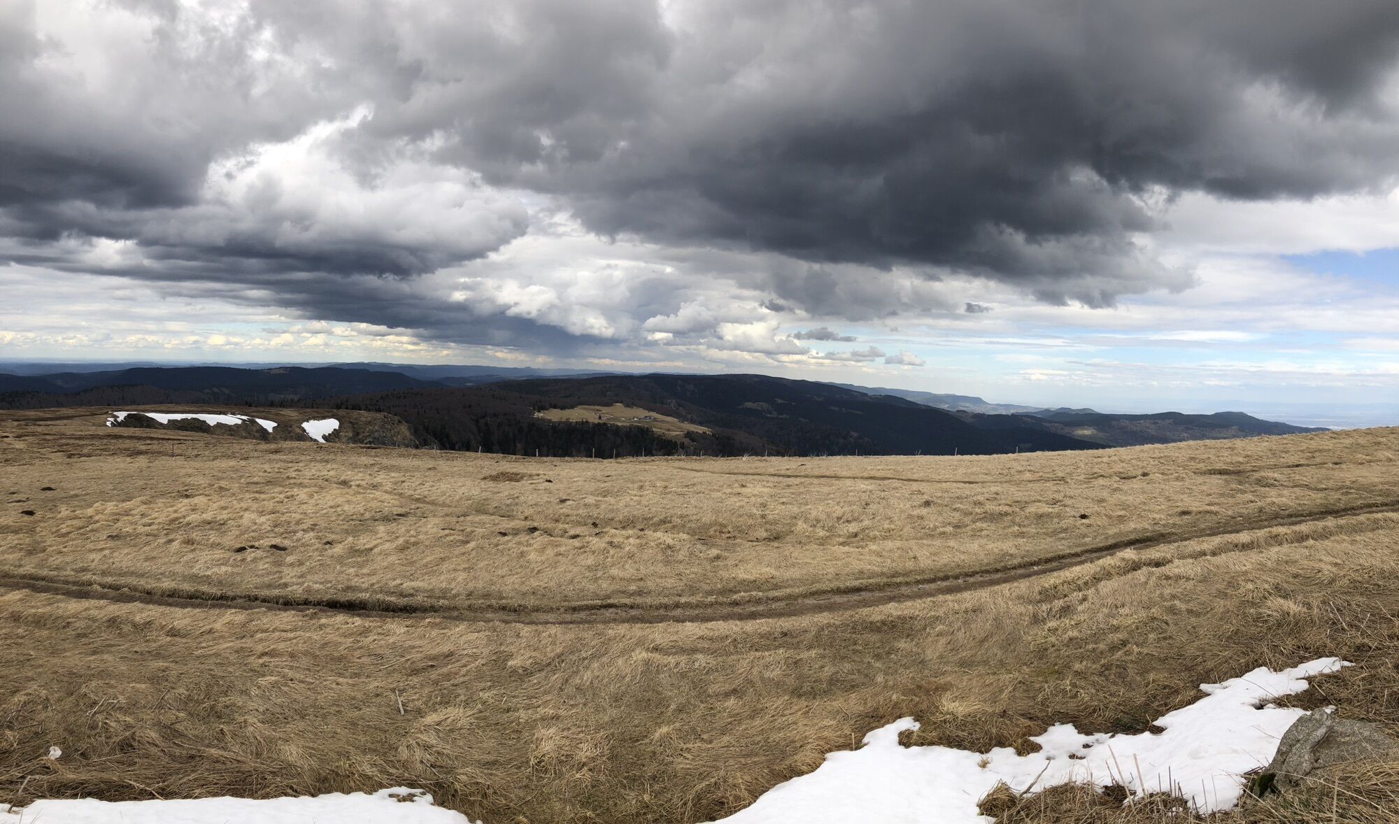
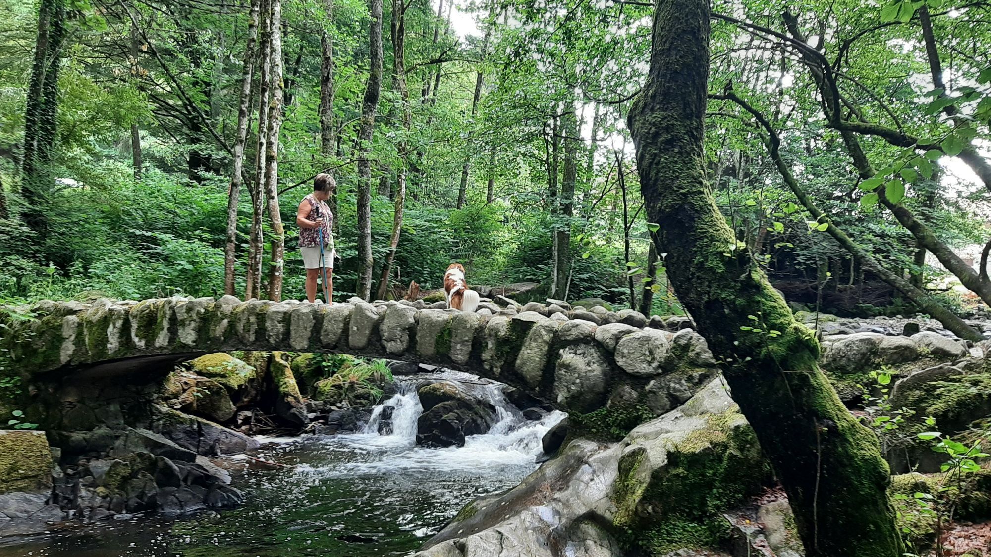
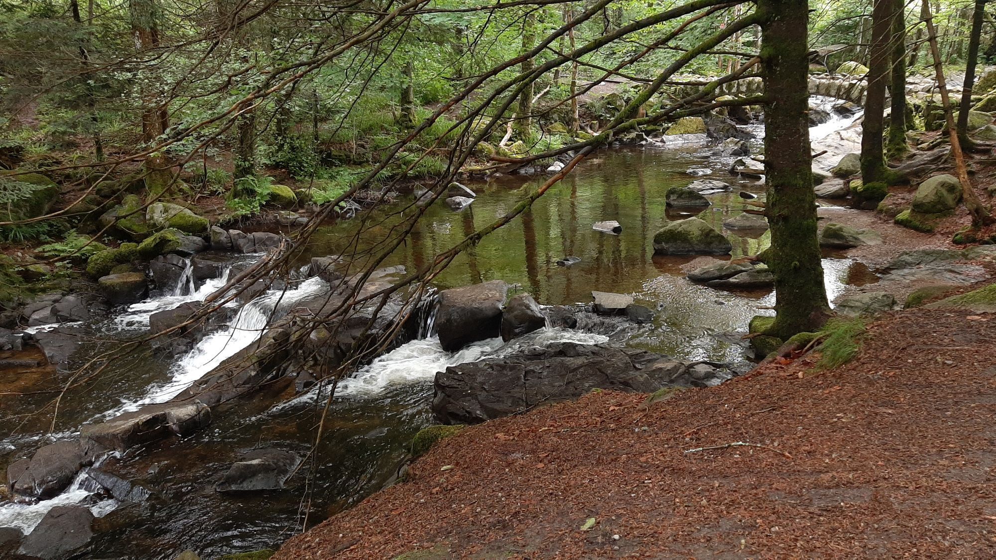
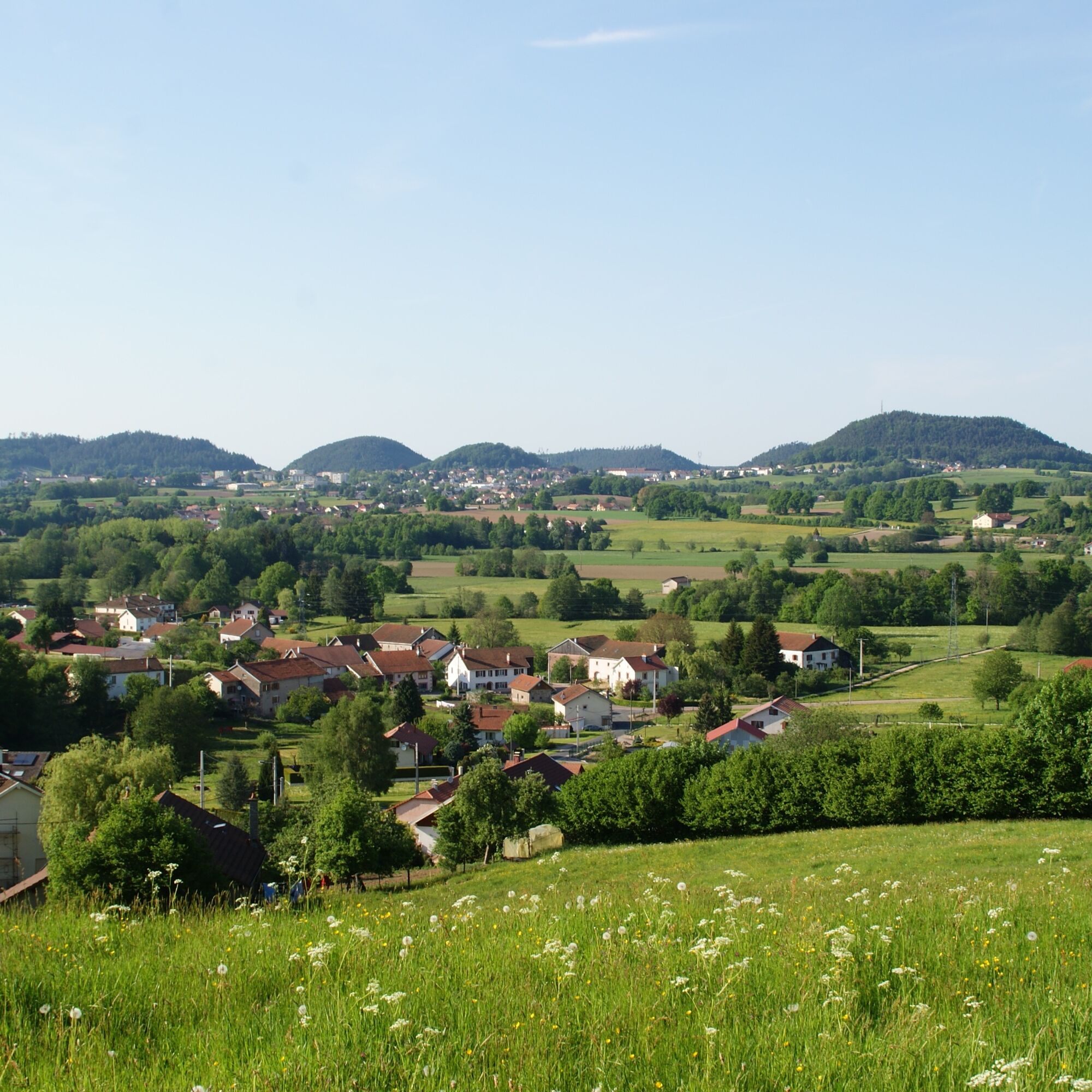
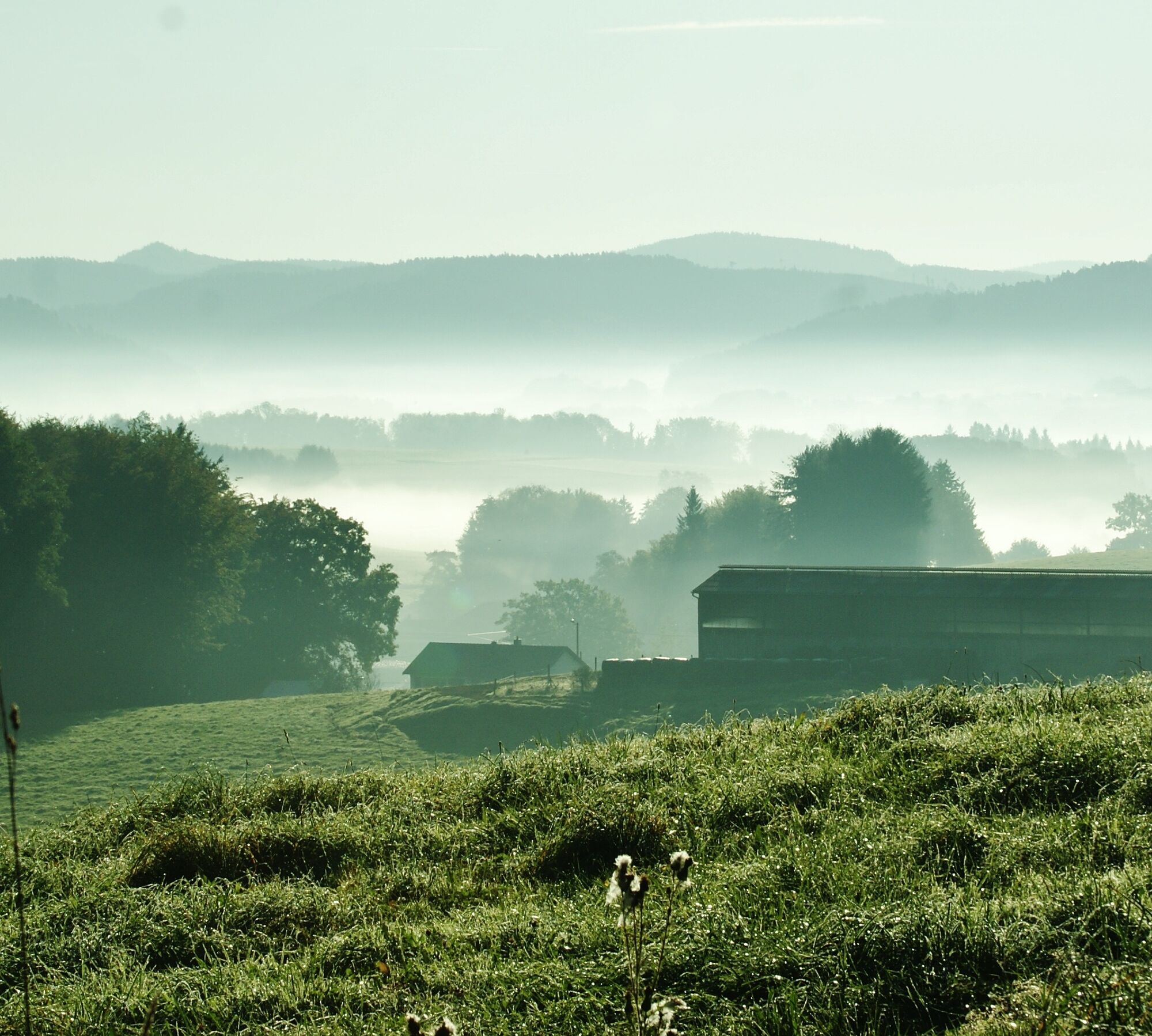
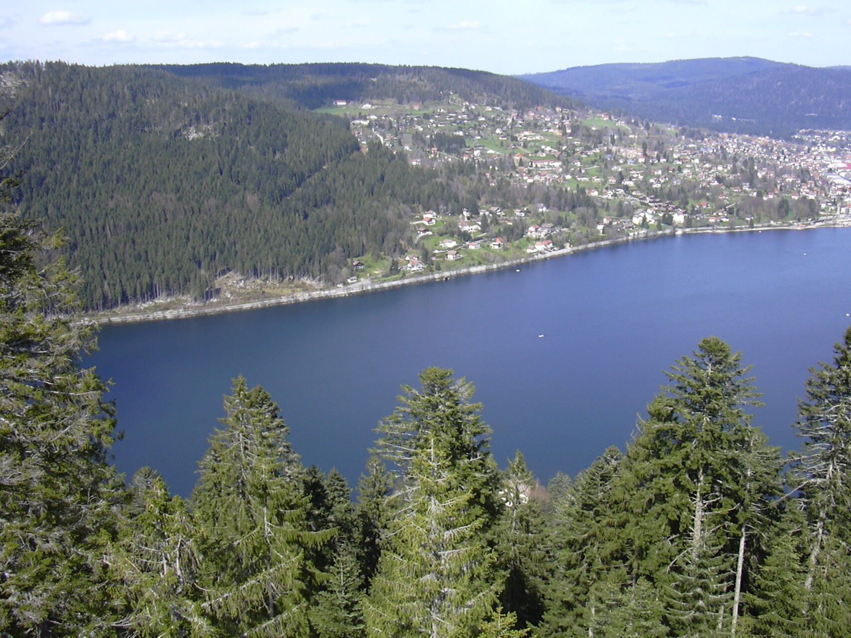
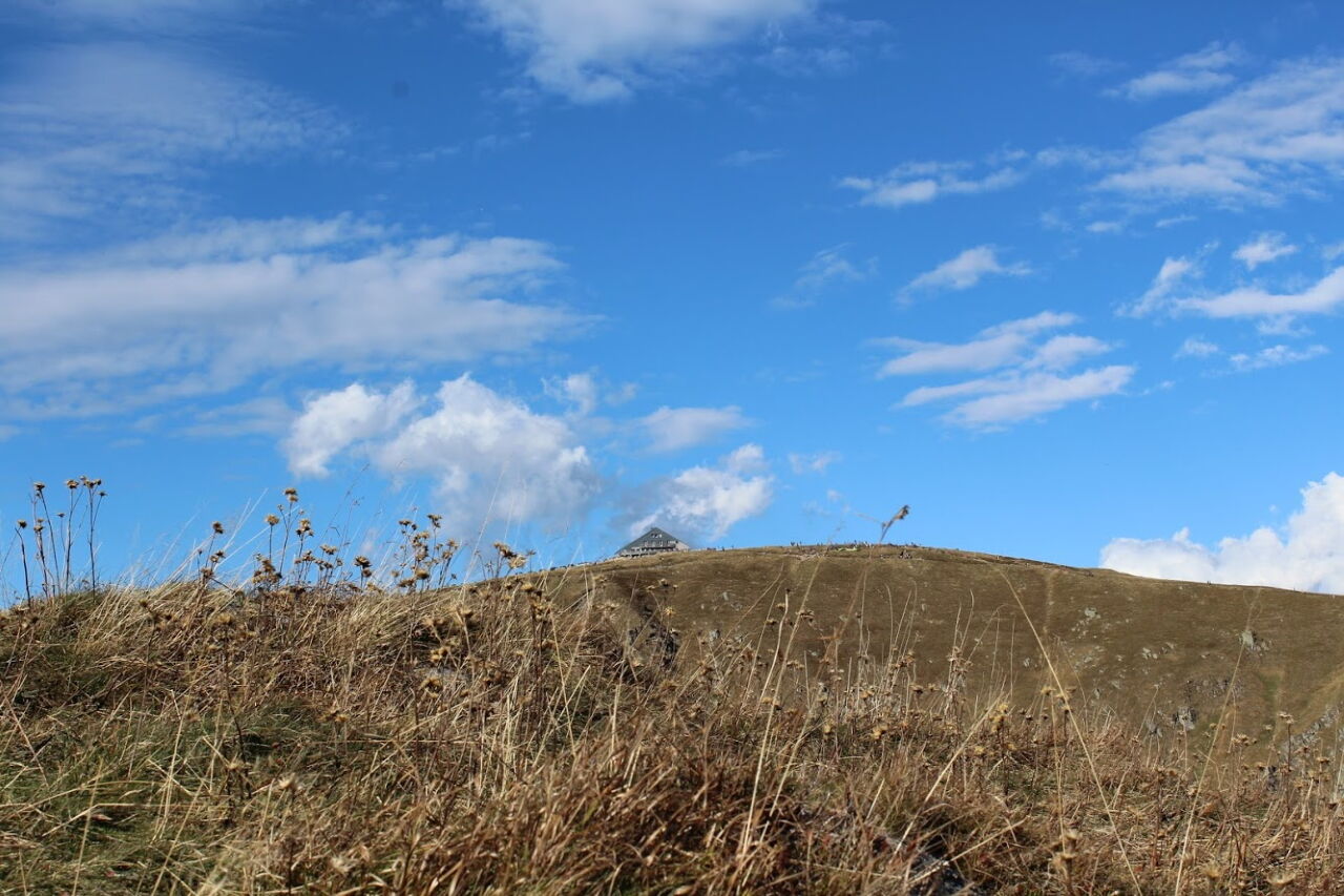
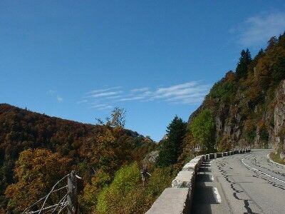
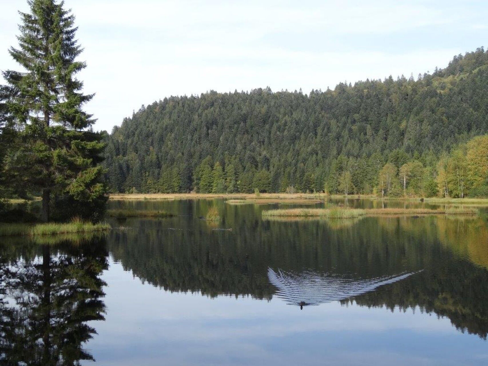
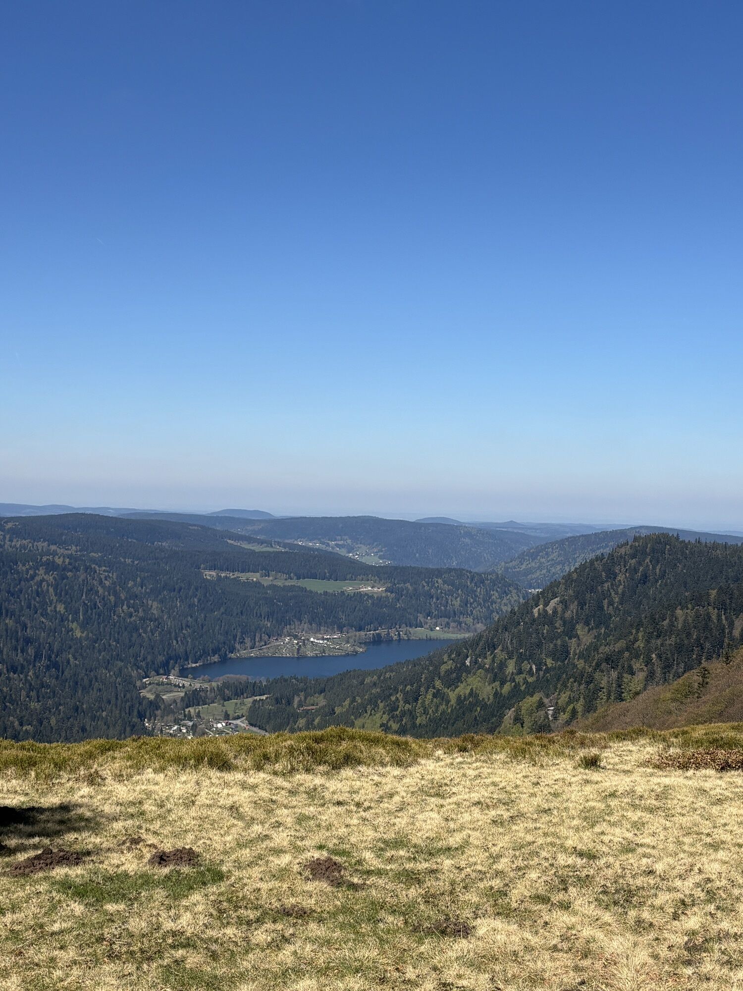
After joining the GR® de Pays route, your steps will then lead you through a variety of landscapes, from the confluence of the Vologne with the Moselle to its sources near an emblematic place, the summit...

Opis

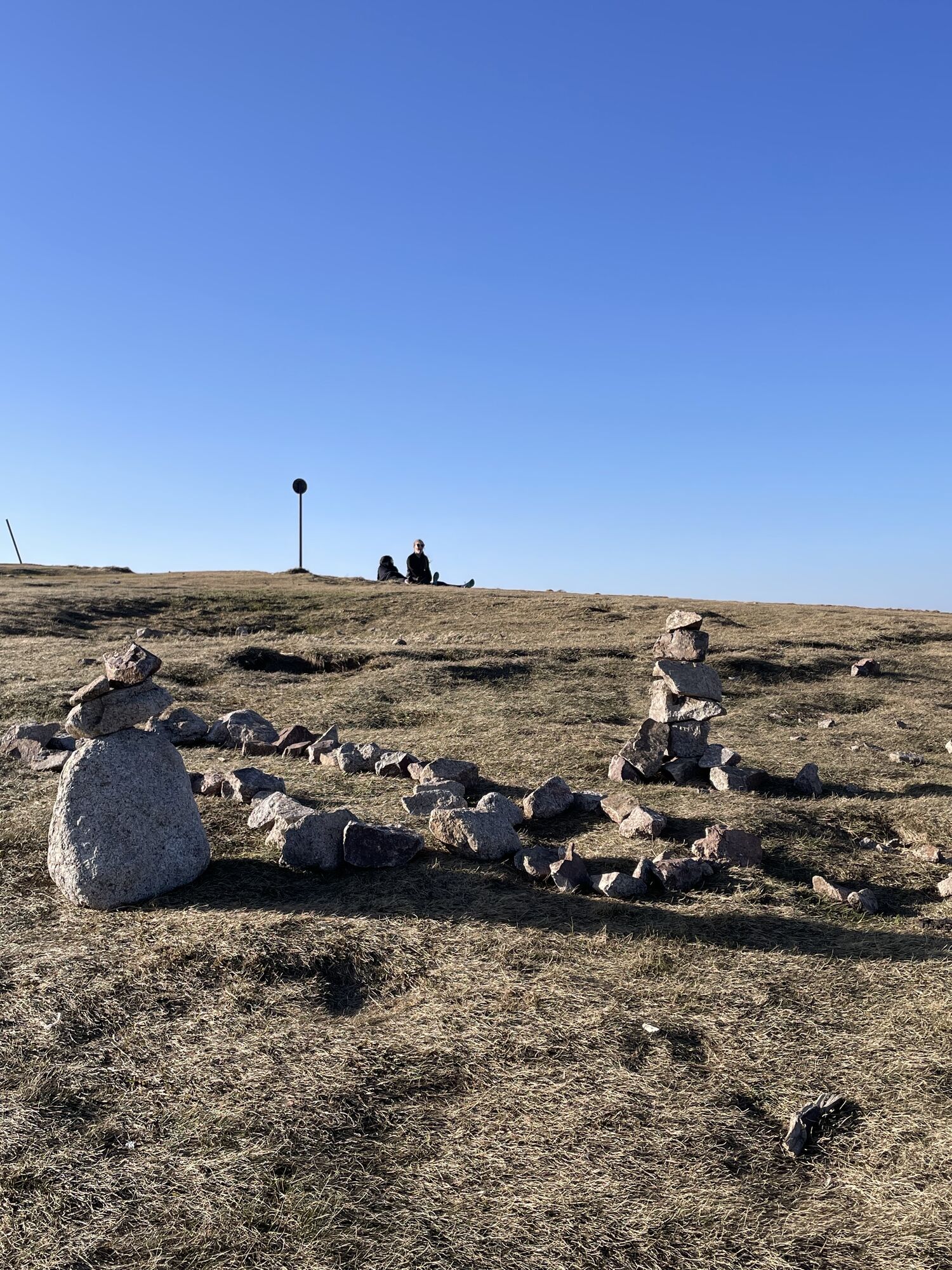
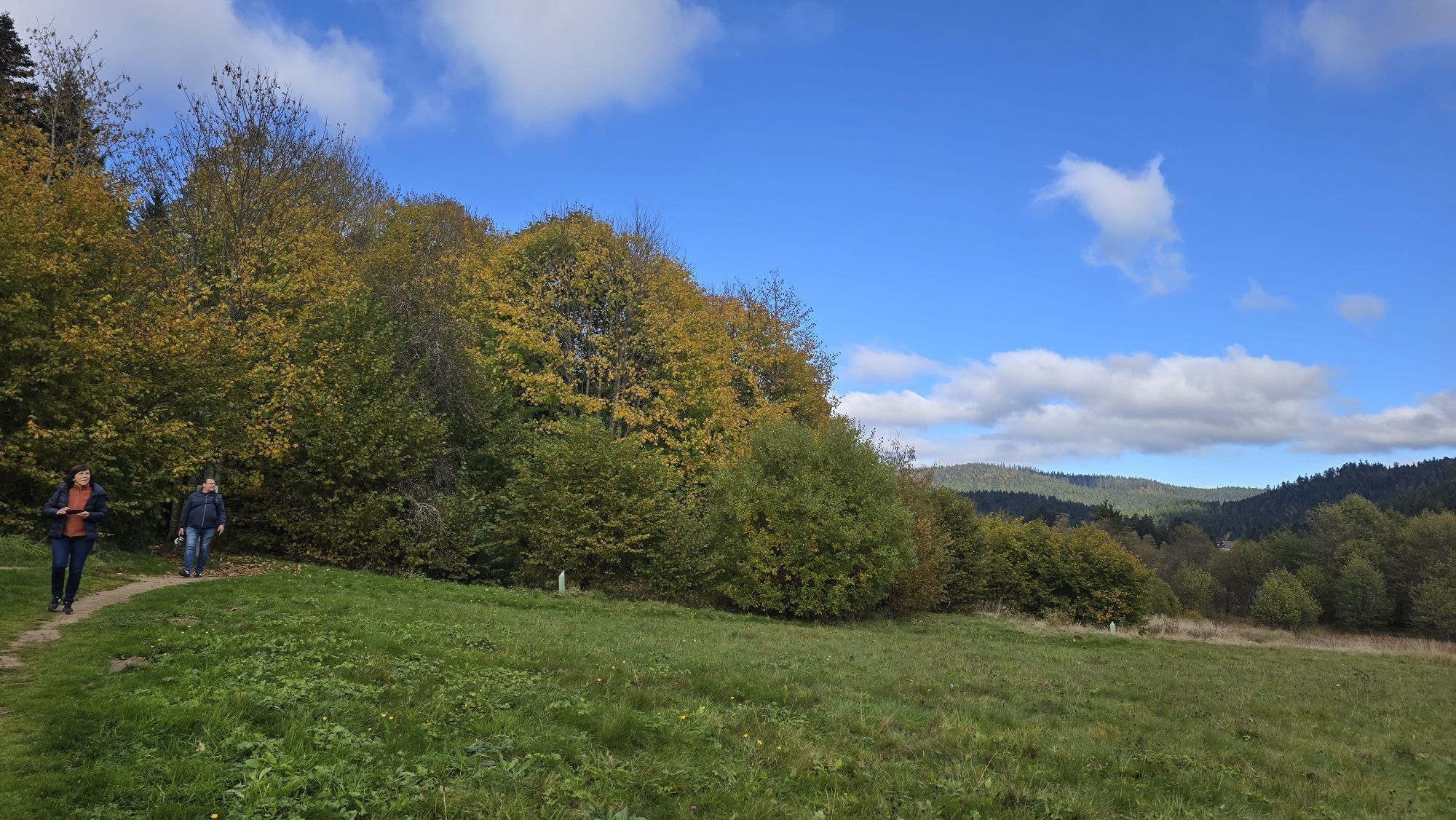
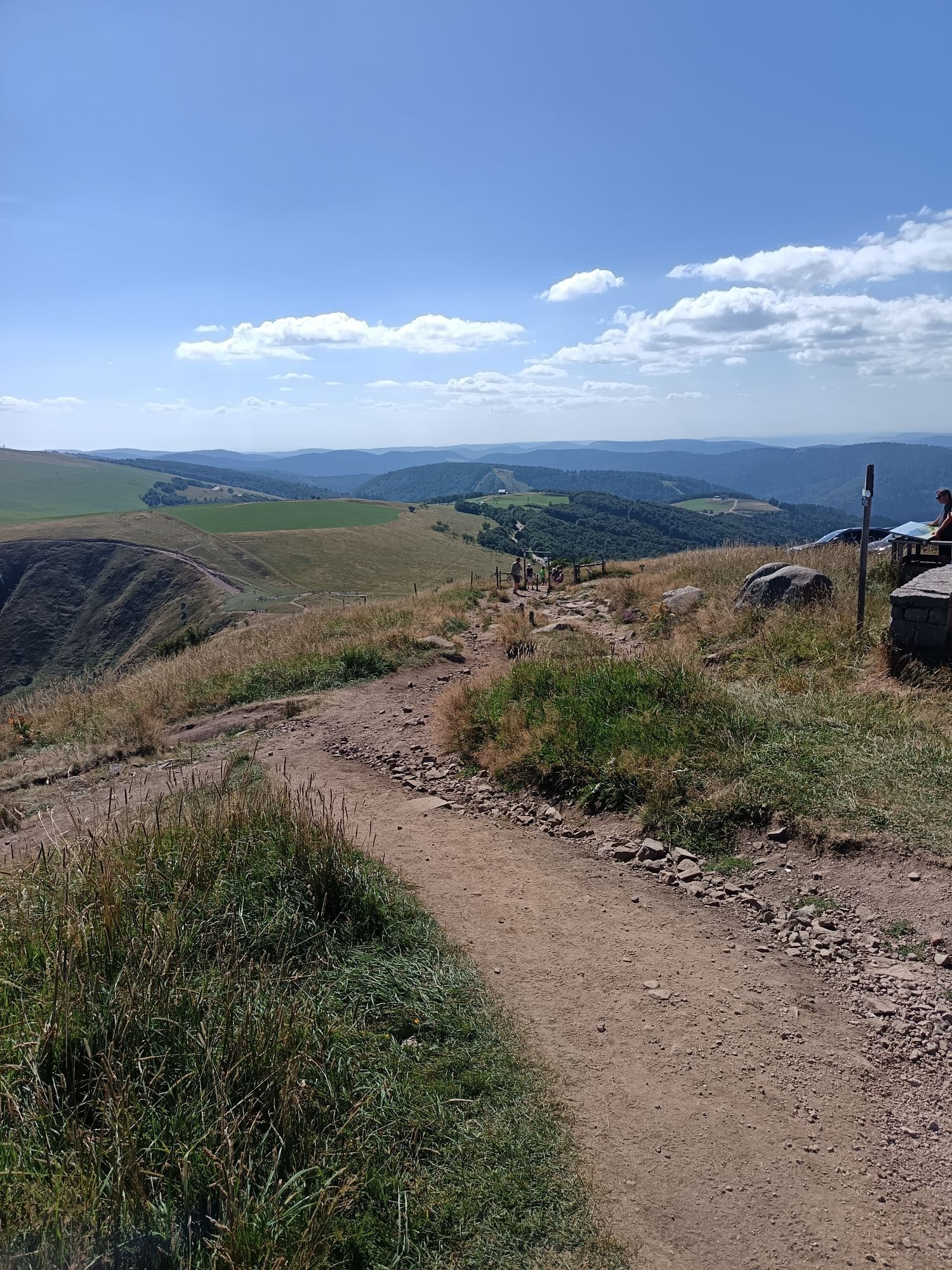
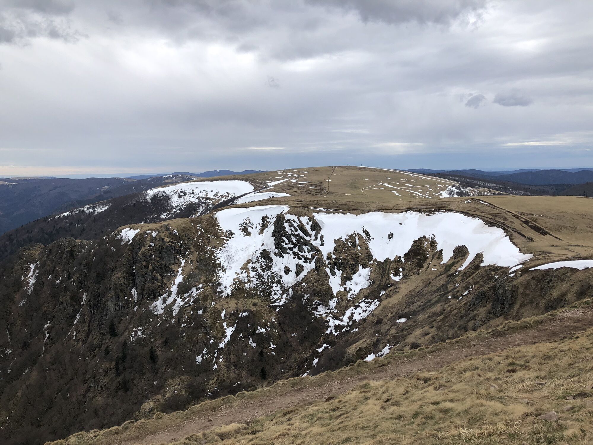
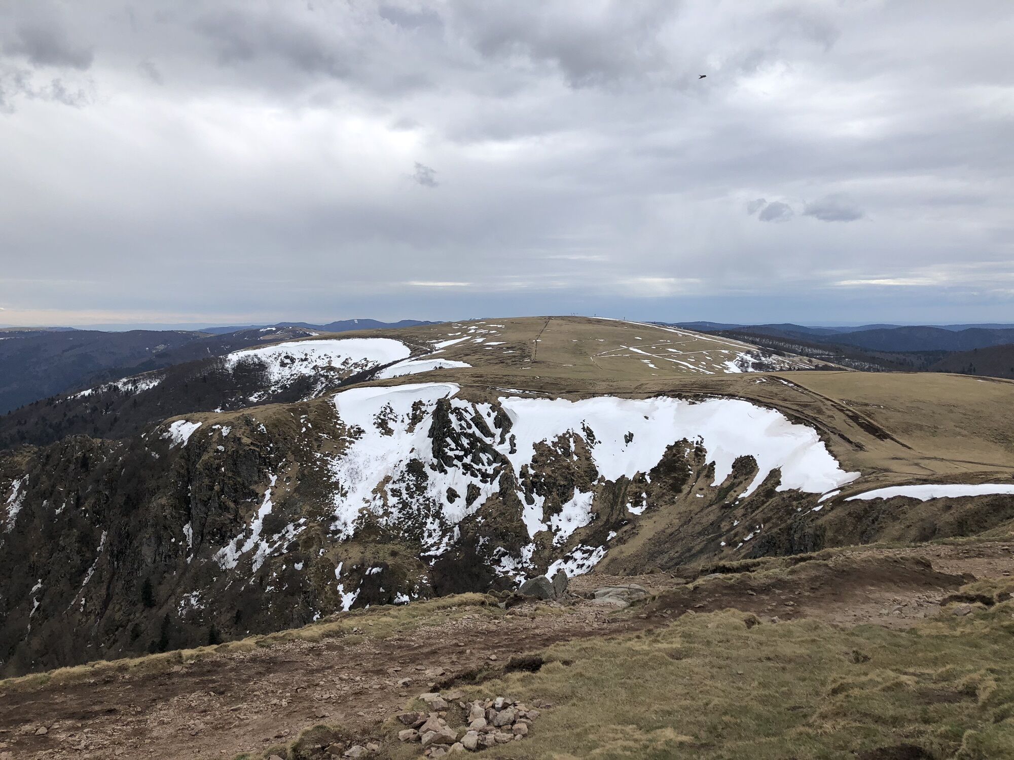
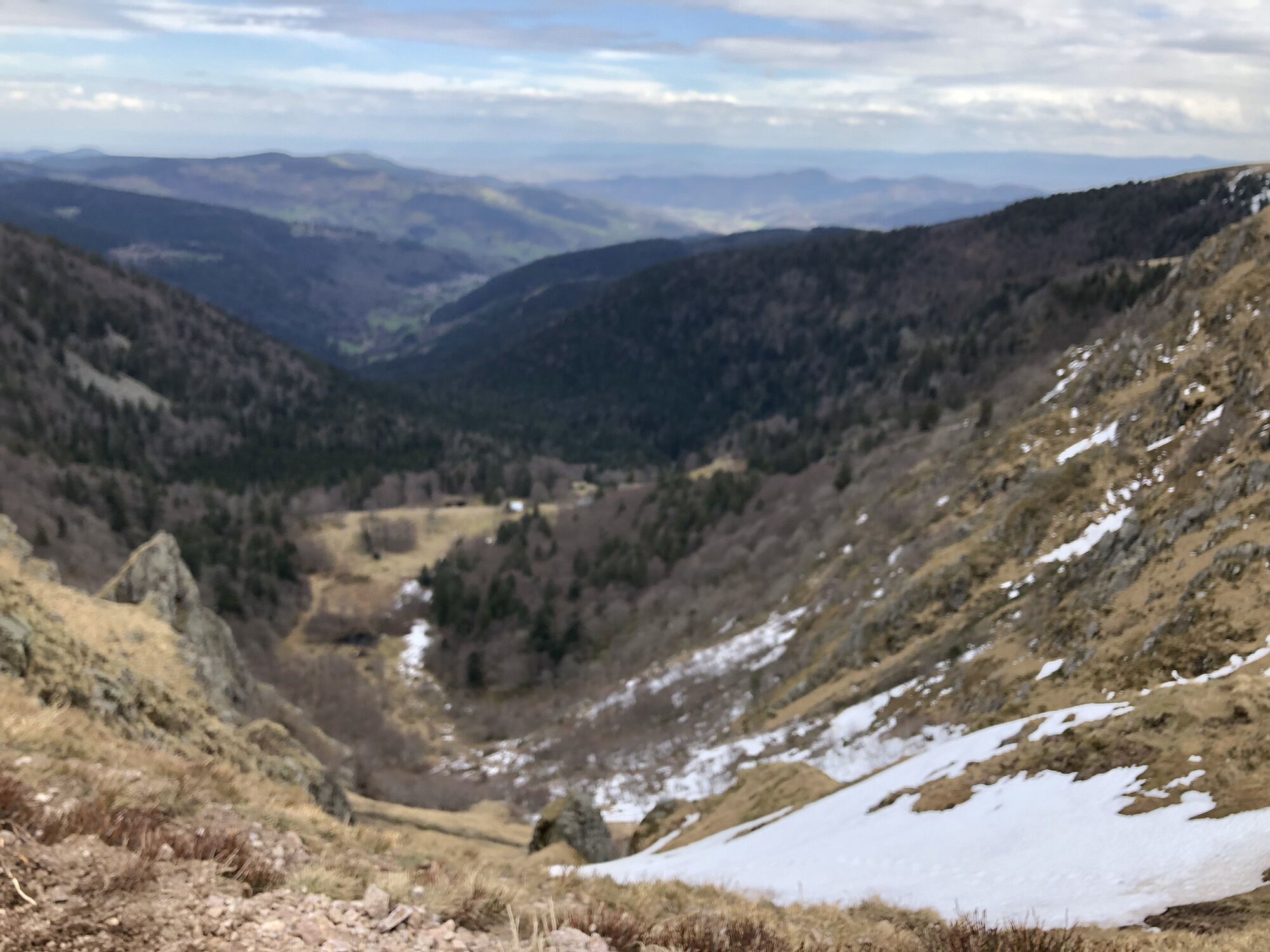
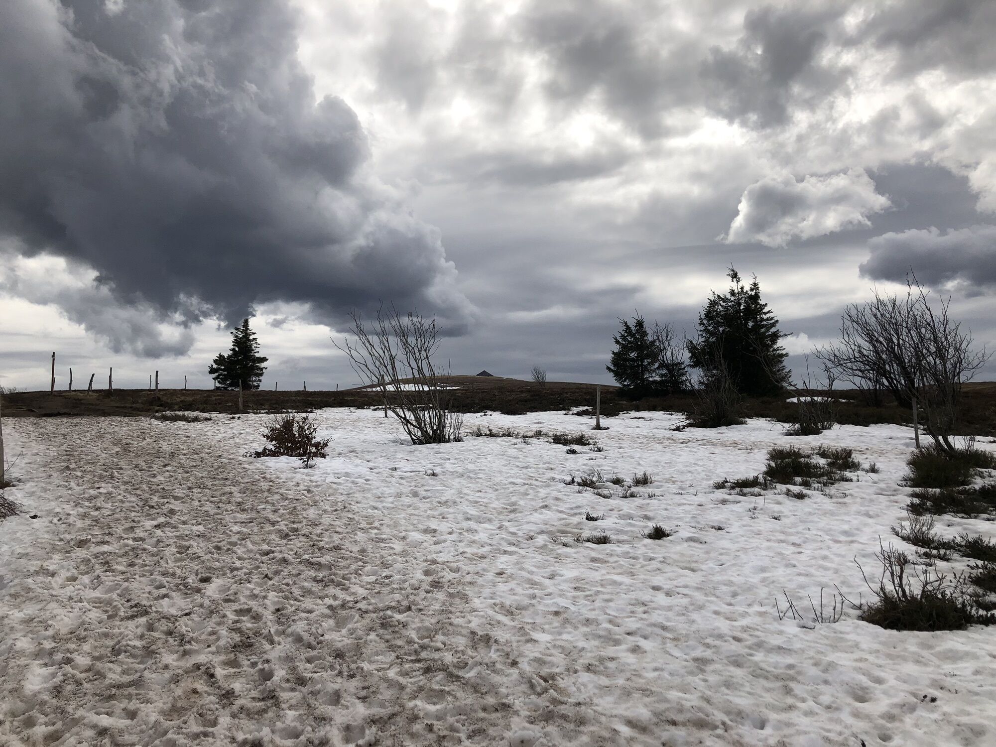
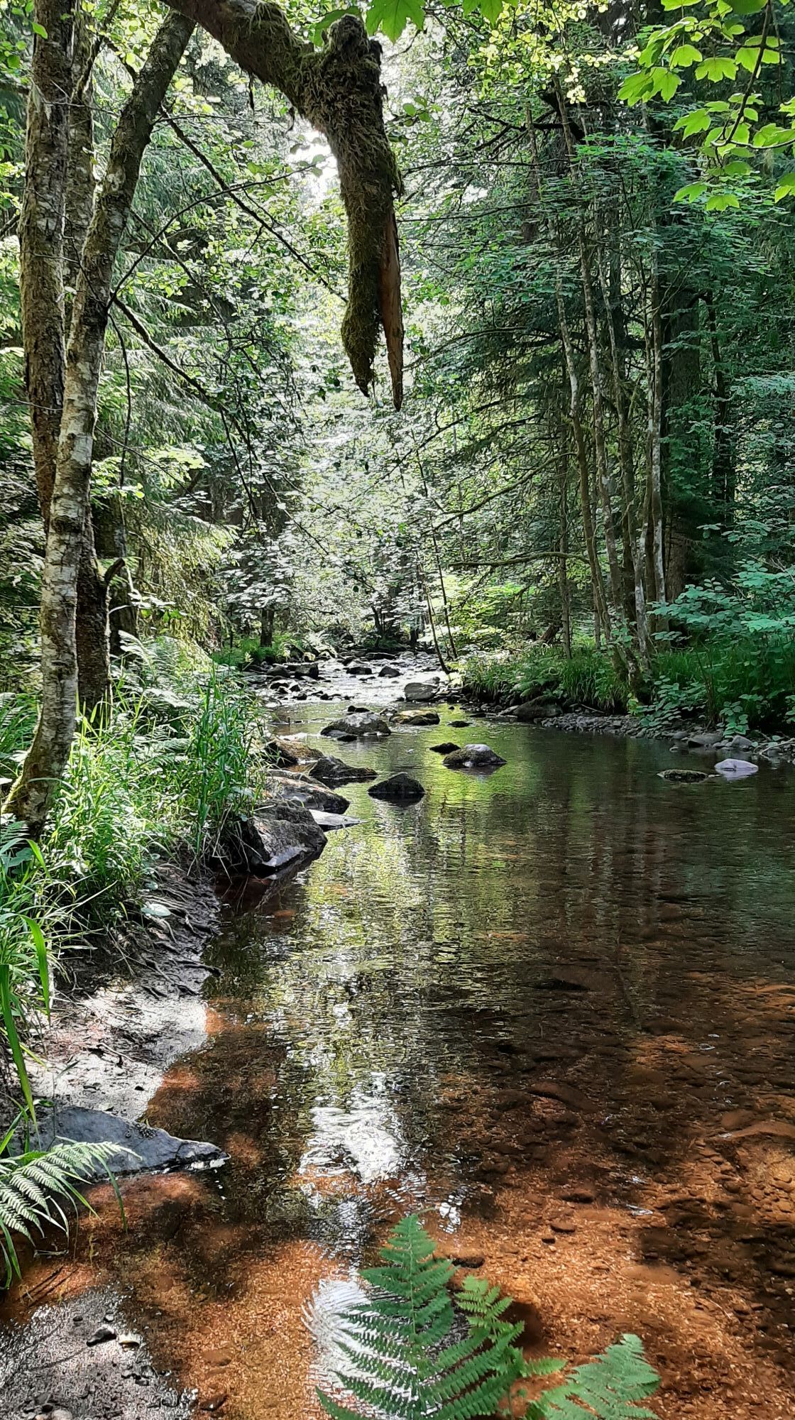
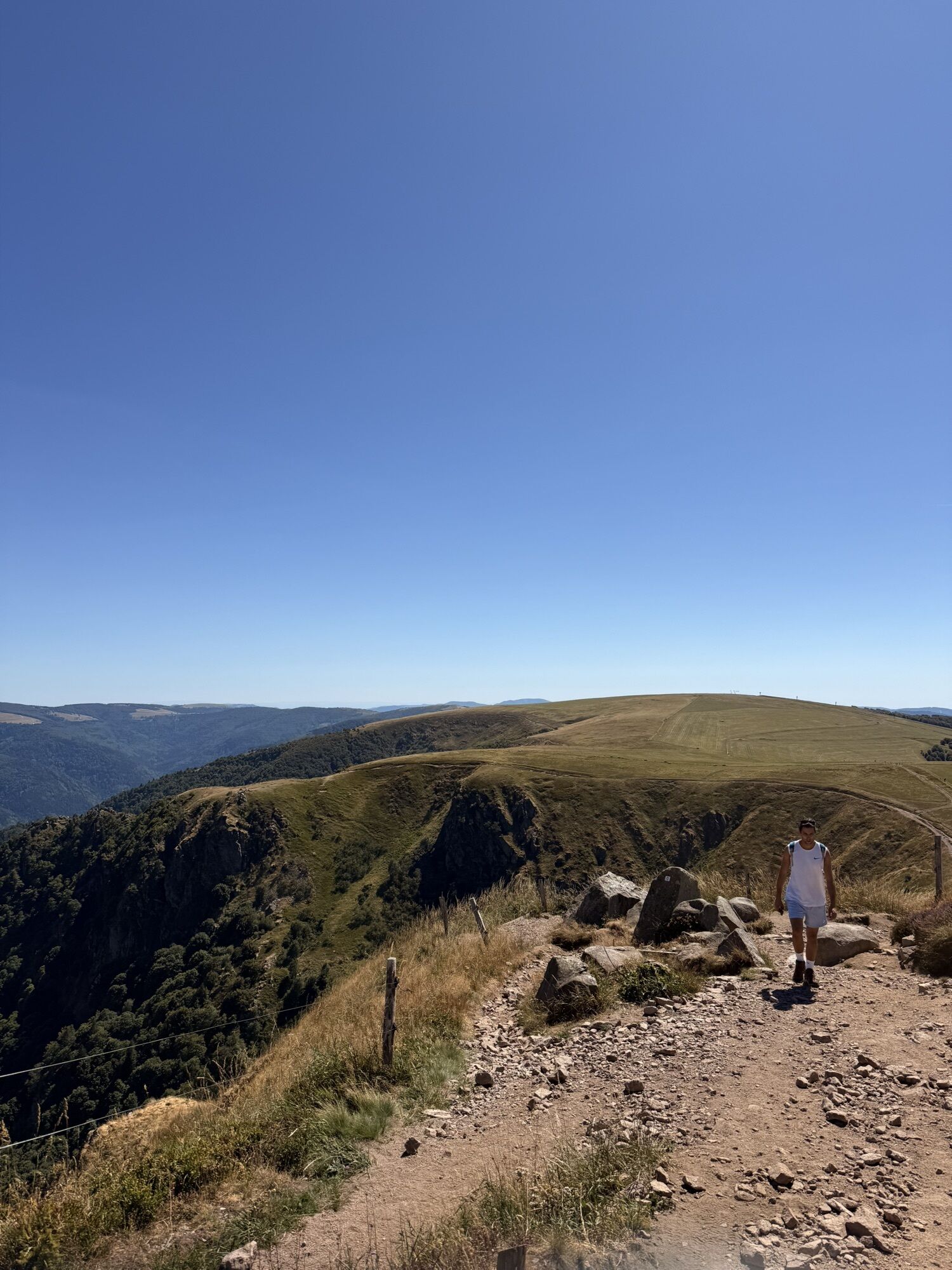
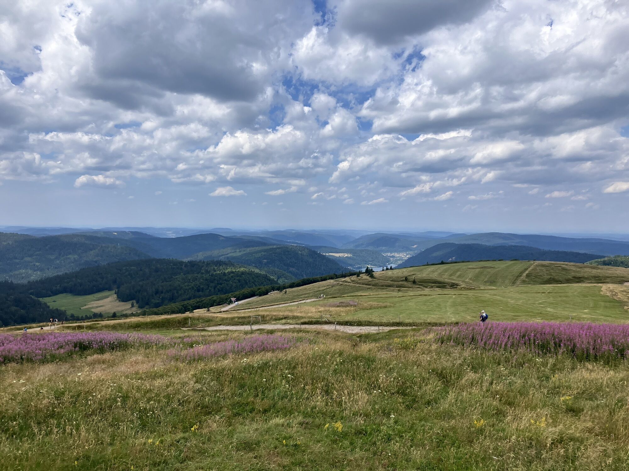
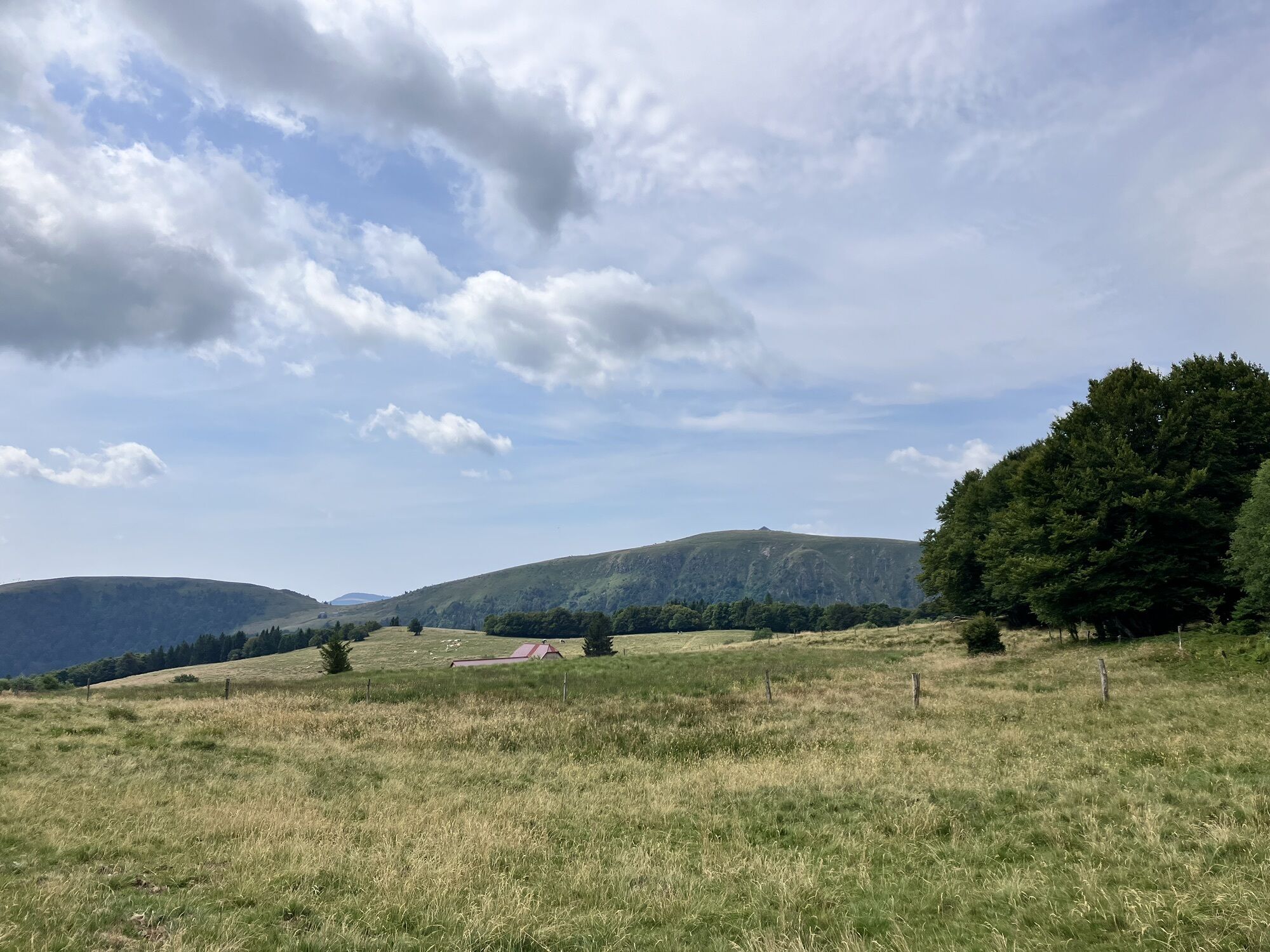
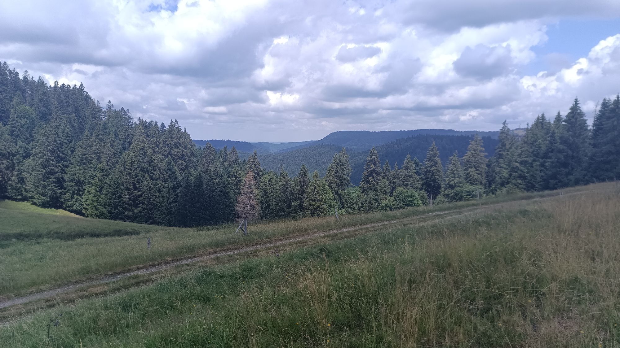
After joining the GR® de Pays route, your steps will then lead you through a variety of landscapes, from the confluence of the Vologne with the Moselle to its sources near an emblematic place, the summit of the Hohneck. The trail then takes you through a variety of environments, from fascinating spruce forests to peat bogs, passing through mountain pastures and gardens.

Trasa
Église Sainte-Menne
(473 m)
Miejsce kultu
33,1 km
Église Saint-Georges
(502 m)
Miejsce kultu
38,7 km
Col des Charbonniers
(921 m)
Siodełko górskie
65,3 km
Hohneck
(1 363 m)
Szczyt
77,6 km
Église Saint-Barthélemy
(674 m)
Miejsce kultu
94,5 km
Gadémont
(658 m)
Rozliczenie
107,9 km
Col de la Vierge
(594 m)
Siodełko górskie
124,6 km
Trasa
Mapa
The GR de Pays of Tour de la Vologne - Grandes Echappées Vosgiennes
średni
długodystansowy szlak pieszy
148,99 km
Archettes
(357 m)
Wioska
0,0 km
La Herbée
(392 m)
Korytarz/teren
3,8 km
Les Molènes
(394 m)
Korytarz/teren
4,2 km
Charmois-devant-Bruyères
(412 m)
Wioska
8,0 km
La Tarpe
(479 m)
Korytarz/teren
9,6 km
Le Roulier
(438 m)
Wioska
10,5 km
Sous le Monce
(460 m)
Korytarz/teren
10,6 km
Le Pré Balland
(442 m)
Korytarz/teren
11,8 km
Bruyères
(479 m)
Wioska
25,1 km
Assemblée biblique de Bruyères
(478 m)
Miejsce kultu
25,2 km
Le Grimoire
(484 m)
Restauracja
25,6 km
La Chapelle-devant-Bruyères
(465 m)
Wioska
32,8 km
Église Sainte-Menne
(473 m)
Miejsce kultu
33,1 km
Devant le Tayon
(581 m)
Korytarz/teren
37,3 km
Le Champ le Marc
(536 m)
Korytarz/teren
37,9 km
Les Cours de l'Aitre
(513 m)
Korytarz/teren
38,0 km
Cours de l'Aitre
(500 m)
Korytarz/teren
38,4 km
Champs de l'Écureil
(501 m)
Korytarz/teren
38,4 km
Granges sur Vologne
(501 m)
Wioska
38,7 km
Église Saint-Georges
(502 m)
Miejsce kultu
38,7 km
Les Paires
(504 m)
Korytarz/teren
38,8 km
Les Champs Saint-George
(505 m)
Korytarz/teren
39,1 km
Pré Genet
(508 m)
Korytarz/teren
39,4 km
Tihaugoutte
(592 m)
Korytarz/teren
40,1 km
Aux Golottes
(546 m)
Korytarz/teren
41,6 km
Champs Valentin
(543 m)
Korytarz/teren
42,2 km
Champs du Faillard
(547 m)
Korytarz/teren
42,6 km
Les Aulnaux
(544 m)
Rozliczenie
43,0 km
Les Grands Champs
(563 m)
Korytarz/teren
43,2 km
Rhin des Eaux Naux
(627 m)
Korytarz/teren
43,5 km
Le Rein des Broches
(656 m)
Korytarz/teren
44,1 km
L'Étang d'Oron
(667 m)
Rozliczenie
45,9 km
Chababois
(682 m)
Korytarz/teren
46,4 km
La Vieille Grange
(708 m)
Korytarz/teren
47,0 km
Le Petit Bois
(734 m)
Korytarz/teren
48,0 km
Le Molfaing
(868 m)
Korytarz/teren
49,9 km
La Basse de l'Ours
(665 m)
Korytarz/teren
53,0 km
Chapelle Saint-Jacques
(632 m)
Miejsce kultu
53,2 km
Reing de Vologne
(669 m)
Korytarz/teren
53,7 km
Ferme de Vologne
(711 m)
Rozliczenie
55,0 km
Aux Bolles
(756 m)
Korytarz/teren
55,5 km
La Roche des Bruyères
(906 m)
Punkt widzenia
56,9 km
Dessous l'Ascensement
(787 m)
Korytarz/teren
60,1 km
Devant chez Toussaint
(794 m)
Korytarz/teren
60,4 km
Les Jardins de Sophie · Restaurant Gastronomique
(810 m)
Restauracja
61,8 km
Col des Charbonniers
(921 m)
Siodełko górskie
65,3 km
Carrefour Irénée Duvois
(924 m)
Korytarz/teren
65,3 km
Col des Trois Places
(1 022 m)
Korytarz/teren
67,8 km
Balveurche
(1 068 m)
Korytarz/teren
70,1 km
Le Haut Gazon
(1 196 m)
Korytarz/teren
71,3 km
Le Collet
(1 113 m)
Restauracja
71,8 km
Montabeu
(1 143 m)
Stacja gondoli
73,4 km
Schlucht
(1 140 m)
Stacja gondoli
73,6 km
Brasserie de la Schlucht
(1 139 m)
Restauracja
73,7 km
Le tétras bistrot
(1 140 m)
Restauracja
73,8 km
La Schlucht
(1 140 m)
Rozliczenie
73,8 km
La Maison
(1 139 m)
Restauracja
73,9 km
Chapelle Notre-Dame-des-Chaumes
(1 153 m)
Miejsce kultu
73,9 km
Belvédère de la petite Fecht
(1 180 m)
Punkt widzenia
74,4 km
Hohneck
(1 363 m)
Szczyt
77,6 km
Le Sommet du Hohneck
(1 361 m)
Restauracja
77,7 km
Refuge du Sotré
(1 199 m)
Schronienie
78,7 km
Chaume du Haut Chitelet
(1 176 m)
Korytarz/teren
79,1 km
Chaume du Bas Chitelet
(1 118 m)
Korytarz/teren
79,5 km
Cascade Charlemagne
(832 m)
Wodospad
82,5 km
Retournemer
(783 m)
Rozliczenie
83,4 km
Cascade de Retournemer
(778 m)
Wodospad
84,4 km
L'Envers des Fies
(760 m)
Korytarz/teren
84,9 km
L'Envers de Longemer
(753 m)
Korytarz/teren
87,5 km
La Grainjotte
(720 m)
Korytarz/teren
90,0 km
Église Sainte-Bernadette
(724 m)
Miejsce kultu
90,2 km
Xonrupt-Longemer
(724 m)
Wioska
90,3 km
Le Haut de la Main Voie
(733 m)
Korytarz/teren
90,9 km
Le Saut des Cuves
(682 m)
Korytarz/teren
91,5 km
Saut des Cuves
(683 m)
Wodospad
91,6 km
Le Petit Xonrupt
(688 m)
Korytarz/teren
91,8 km
Au Relais Boulas
(688 m)
Restauracja
91,8 km
Au 2 Sapins
(689 m)
Restauracja
91,8 km
Le Bout de la Cercenée
(682 m)
Korytarz/teren
92,2 km
Bas des Rochires
(678 m)
Korytarz/teren
93,4 km
Église Saint-Barthélemy
(674 m)
Miejsce kultu
94,5 km
Gérardmer
(670 m)
Miasto
94,6 km
Chapelle de la Trinité
(747 m)
Miejsce kultu
98,4 km
Les Grandes
(697 m)
Korytarz/teren
99,3 km
Granges Saint-Dizier Au-Dessus de Pétempré
(577 m)
Korytarz/teren
102,8 km
Les Vraux
(563 m)
Korytarz/teren
105,1 km
Les Champs Chement
(558 m)
Korytarz/teren
105,9 km
Les Champs Claude
(569 m)
Korytarz/teren
106,6 km
Champ de la Croix
(661 m)
Korytarz/teren
107,4 km
Sur le Rain des Évelines
(671 m)
Korytarz/teren
107,5 km
Gadémont
(658 m)
Rozliczenie
107,9 km
La Passée
(684 m)
Korytarz/teren
108,9 km
Haut du Faing Simon
(770 m)
Korytarz/teren
109,7 km
Le Page
(805 m)
Rozliczenie
110,8 km
Les Vieilles Huttes
(630 m)
Korytarz/teren
114,0 km
Lla Heunotte
(658 m)
Korytarz/teren
114,3 km
Rond Champ
(681 m)
Korytarz/teren
114,5 km
Berchigranges
(652 m)
Rozliczenie
114,6 km
Au Cimail
(719 m)
Korytarz/teren
114,9 km
Champ de Laxet
(721 m)
Rozliczenie
116,0 km
La Basse des Champs
(729 m)
Korytarz/teren
116,6 km
Champdray
(710 m)
Wioska
118,6 km
Église de la Nativité-de-Notre-Dame
(716 m)
Miejsce kultu
118,8 km
Les Grands Prés
(707 m)
Korytarz/teren
119,1 km
Col de la Vierge
(594 m)
Siodełko górskie
124,6 km
Saint-Jean-du-Marché
(488 m)
Rozliczenie
131,3 km
Église Saint-Jean
(484 m)
Miejsce kultu
131,5 km
Derrière le Finseuil
(501 m)
Korytarz/teren
132,5 km
Faucompierre
(444 m)
Wioska
133,2 km
Auberge de la Poirie
(430 m)
Restauracja
133,6 km
La Poirie
(432 m)
Sąsiedztwo
133,6 km
Xamontarupt
(435 m)
Wioska
135,3 km
La Croix Bouquot
(488 m)
Korytarz/teren
142,4 km
Beuch'nô-Pierre
(379 m)
Punkt widzenia
144,5 km
Jarménil
(370 m)
Wioska
144,7 km
Archettes
(357 m)
Wioska
148,8 km
Informacje o wycieczce

Starting your hiking route in Epinal, in the heart of the Vosges, a cultural and heritage richness awaits you.

Technologia
n.d.
Stan
4 / 6
Krajobraz
4 / 6
Doświadczenie
4 / 6
Najlepsza pora roku
Sty
Lut
Mar
Kwi
Maj
Cze
Lip
Sie
Wrz
Paź
Lis
Gru
Udostępnij trasę
Mapa
The GR de Pays of Tour de la Vologne - Grandes Echappées Vosgiennes
średni
długodystansowy szlak pieszy
148,99 km
Błąd
Wystąpił błąd. Spróbuj ponownie.
Informacje o trasie
Trasa

145 kilometers – 10 to 11 days

Najważniejsze informacje geologiczne

Tak

Wycieczka na szczyt

Tak

Sprzęt

Clothing adapted to the season and conditions (cold, hot, humid…)

Hiking shoes suited to the terrain (even for children!)

Hiking poles (useful for stability and relieving joints)

Mobile phone and spare battery

Instrukcje bezpieczeństwa

Before leaving:

Check the general and local weather, ensuring the absence of precipitation

Inform yourself about the approach walk, itinerary elevation, duration, possible bailout (IGN map, GPS, guidebook, etc.)

Assess possible risks by consulting mountain professionals, refuges, lodgings

Inform a close person of your plan and contact them in case of changes: departure and return times, number of participants with each person’s phone number, vehicle(s), parking

Avoid going alone, use equipment suitable for the activity, properly adjusted and in good condition, headlamp, complete first aid kit, survival blanket, etc.

In case of problem, call 112 (European emergency number)

Informacje o przyjeździe
Przybycie

Epinal

Transport publiczny

www.fluo.eu

Parking

Free parking on site

Dodatkowe informacje i wskazówki
Dodatkowe informacje

To discover things to do and see along the route, visit the map available here: https://bit.ly/30I8Yas

https://deodatie.com/grandes-echappees-vosgiennes/

www.massif-des-vosges.com

Contact: Fiona MIOTTO - Pedestrian Itineraries Project Manager PETR of the Pays de la Déodatie

Wskazówki

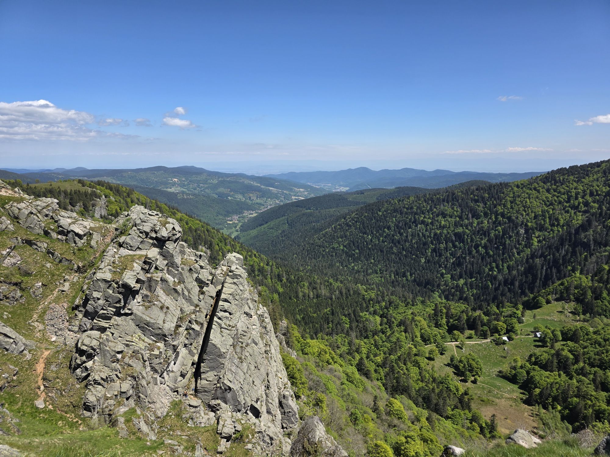
Many elements of the local heritage will punctuate your route, and you can admire, when passing through towns like Bruyères or Gérardmer, spectacular rock outcrops such as the Champ des Roches in Barbey-Seroux or the magnificent sentier des Roches on the Hohneck ridges.

Nie ma jeszcze recenzji
Napisz recenzję

Recenzje pomagają innym użytkownikom wybrać kolejną przygodę. Oceniaj tylko trasę, a nie pogodę lub przekąskę.

Wybierz jedną z gwiazdek, aby ocenić wycieczkę
Zła trasa
Słaba trasa
Przeciętna wycieczka
Dobra wycieczka
Doskonała wycieczka
bergfex logo Uzyskaj wgląd Zawsze na żywo z ponad 9 500 kamer internetowych. bergfex Jako użytkownik Pro, możesz teraz zobaczyć odpowiednie kamery internetowe dla wielu wycieczek w aplikacji wycieczki od. Pozwala to na bezpośredni podgląd aktualnych warunków.
Wędrówki i tropienie

Wędrówki i tropienie

Wędrówki i tropienie
Ponad 550.000 propozycji wycieczek, szczegółowe mapy i intuicyjny planer tras sprawiają, że aplikacja jest niezbędna dla wszystkich entuzjastów przyrody.
bergfex