





ST401 Belgrade - Avala
Poziom trudności: T1
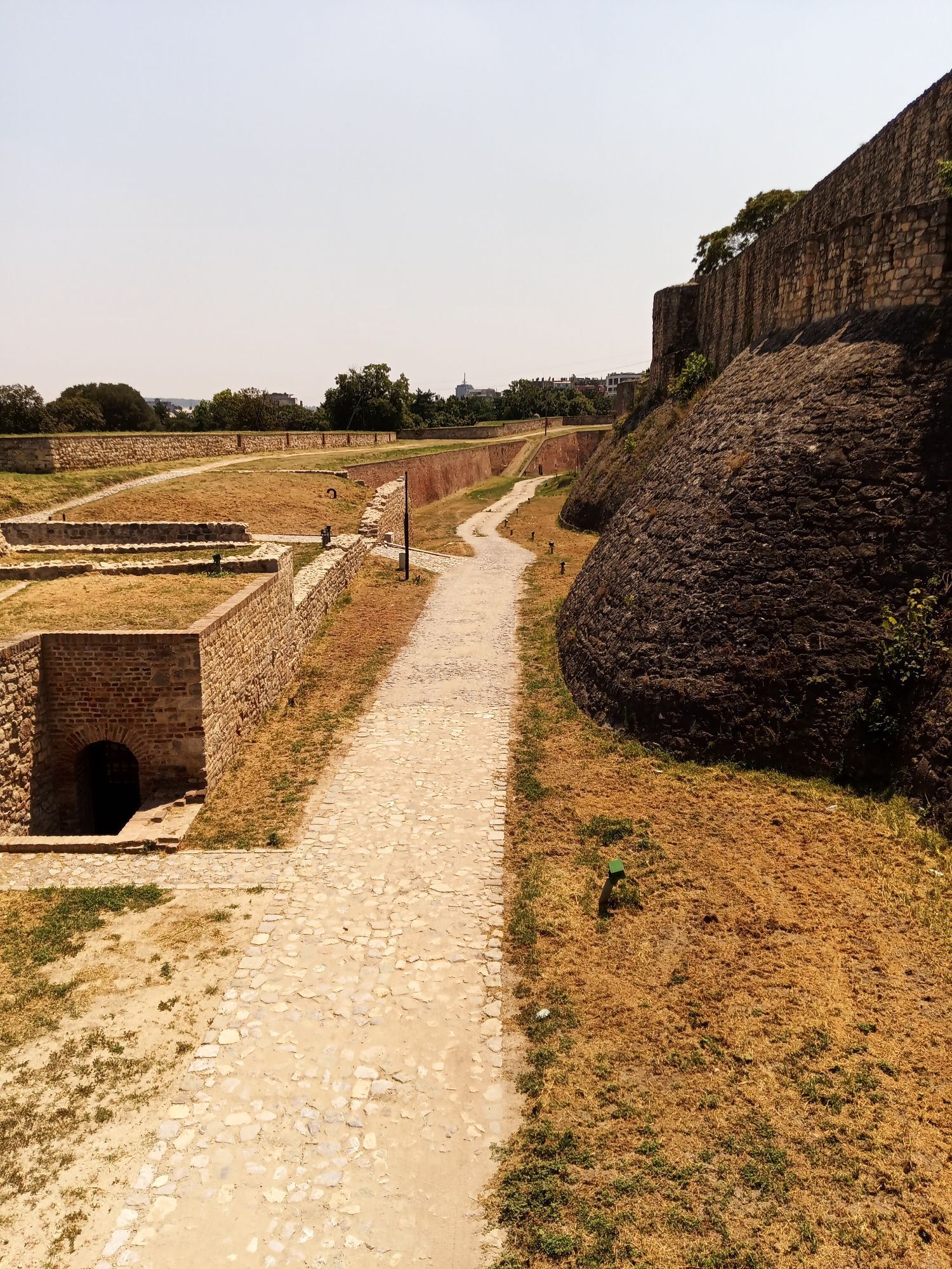
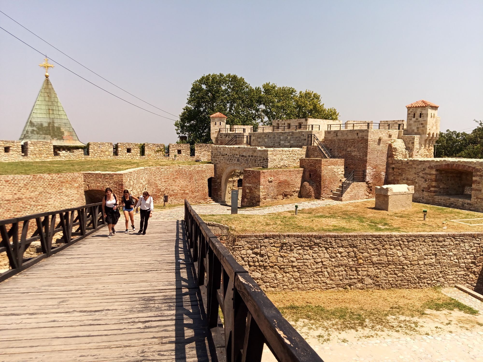
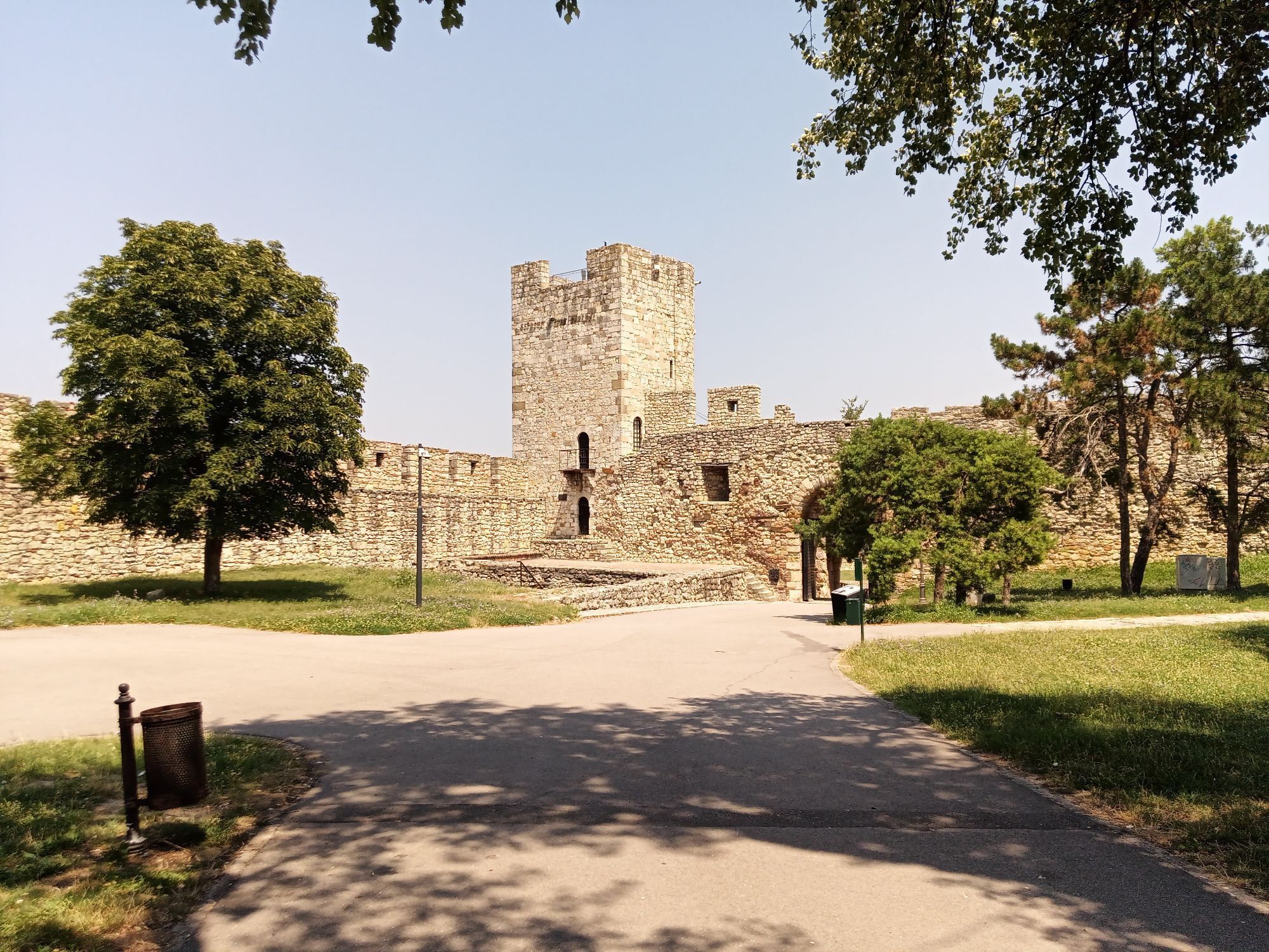
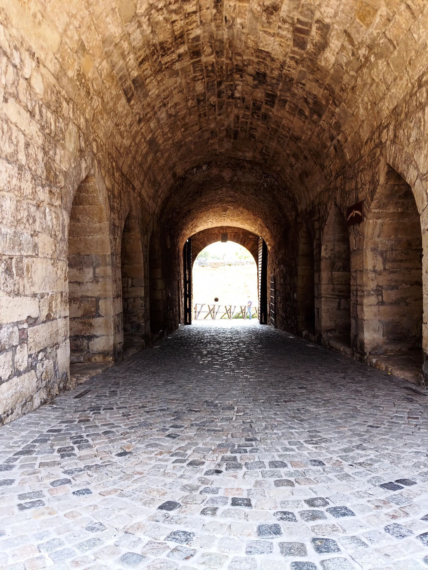
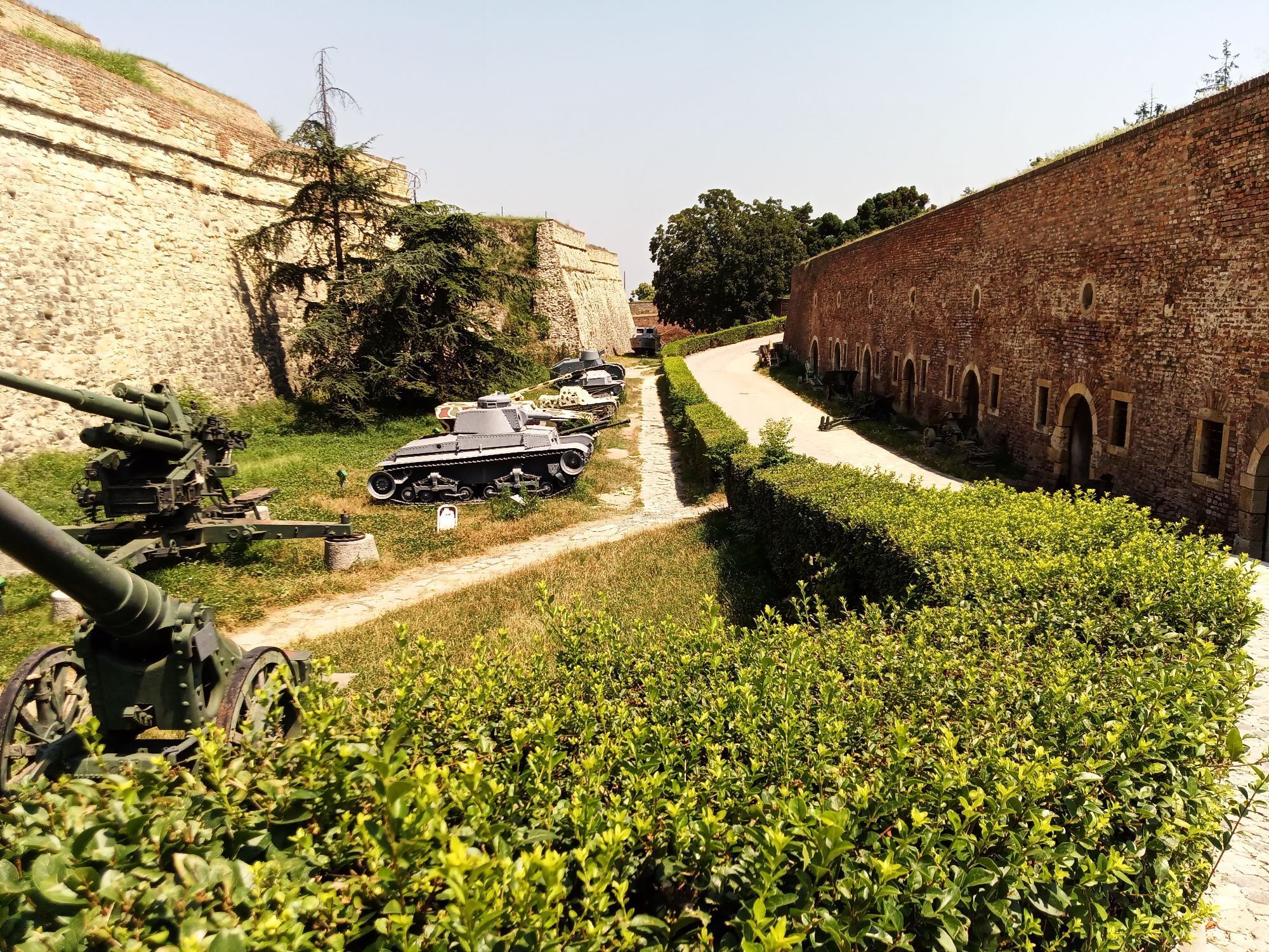
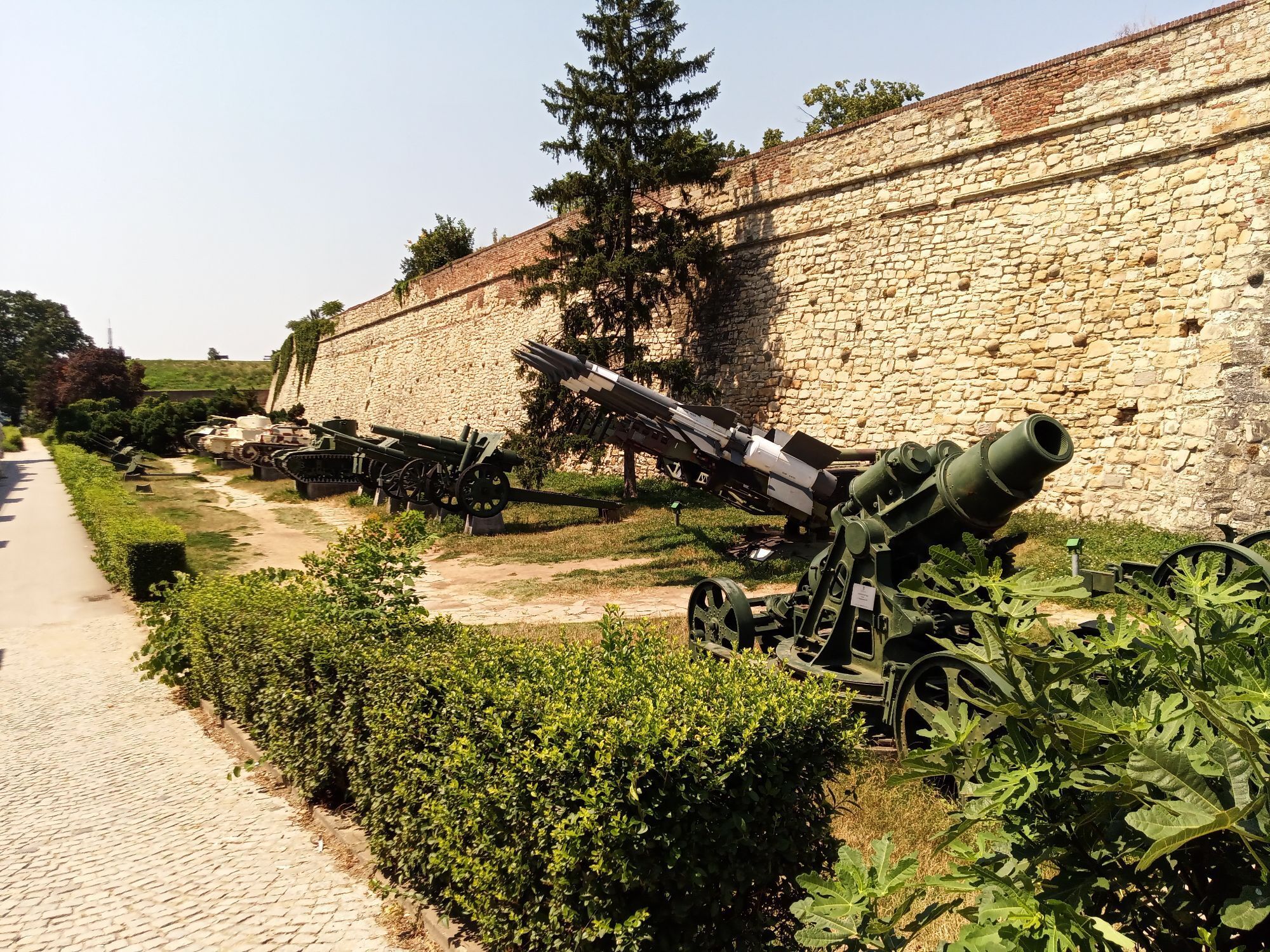
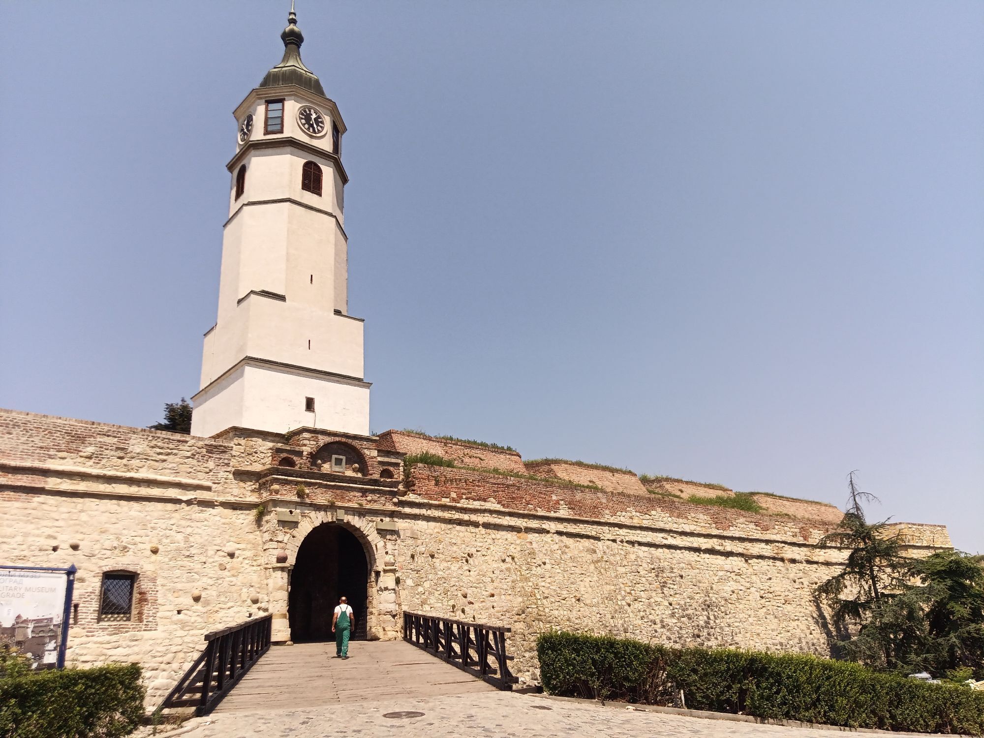
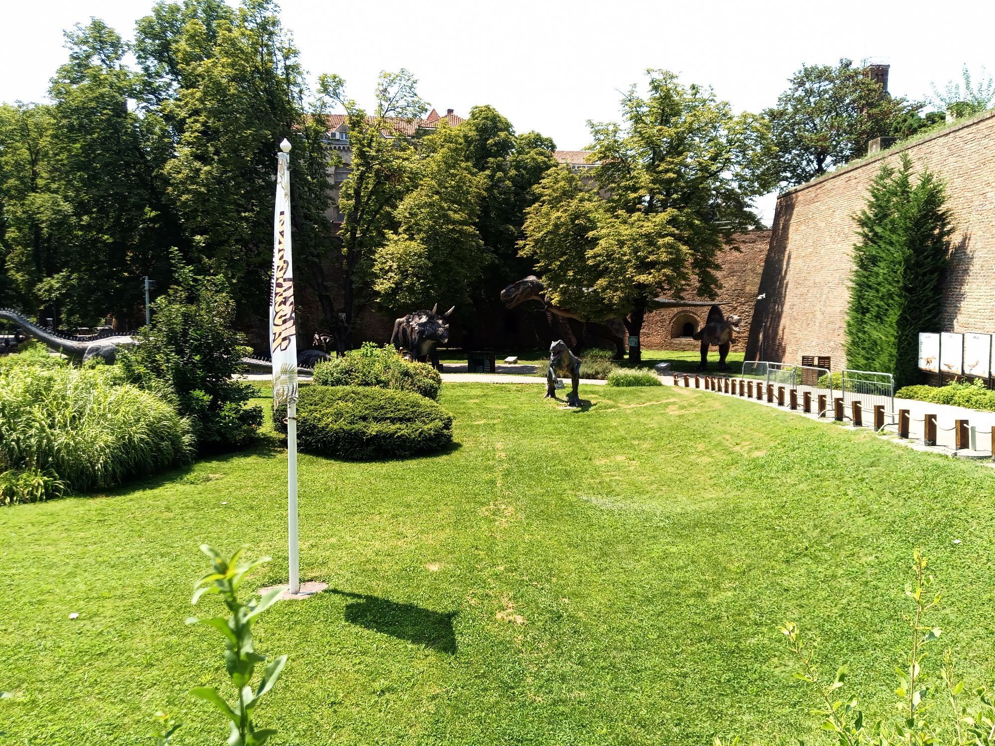
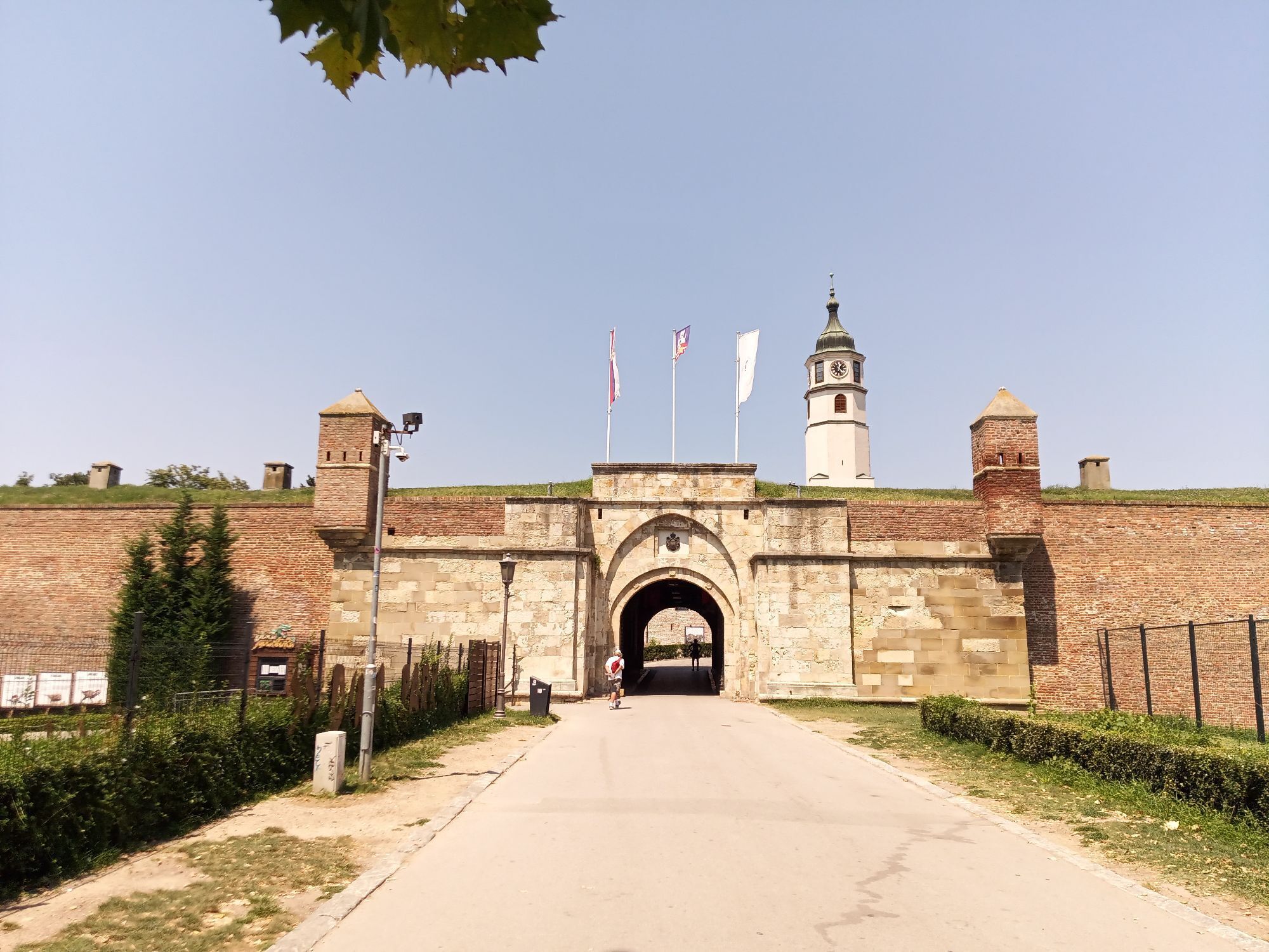
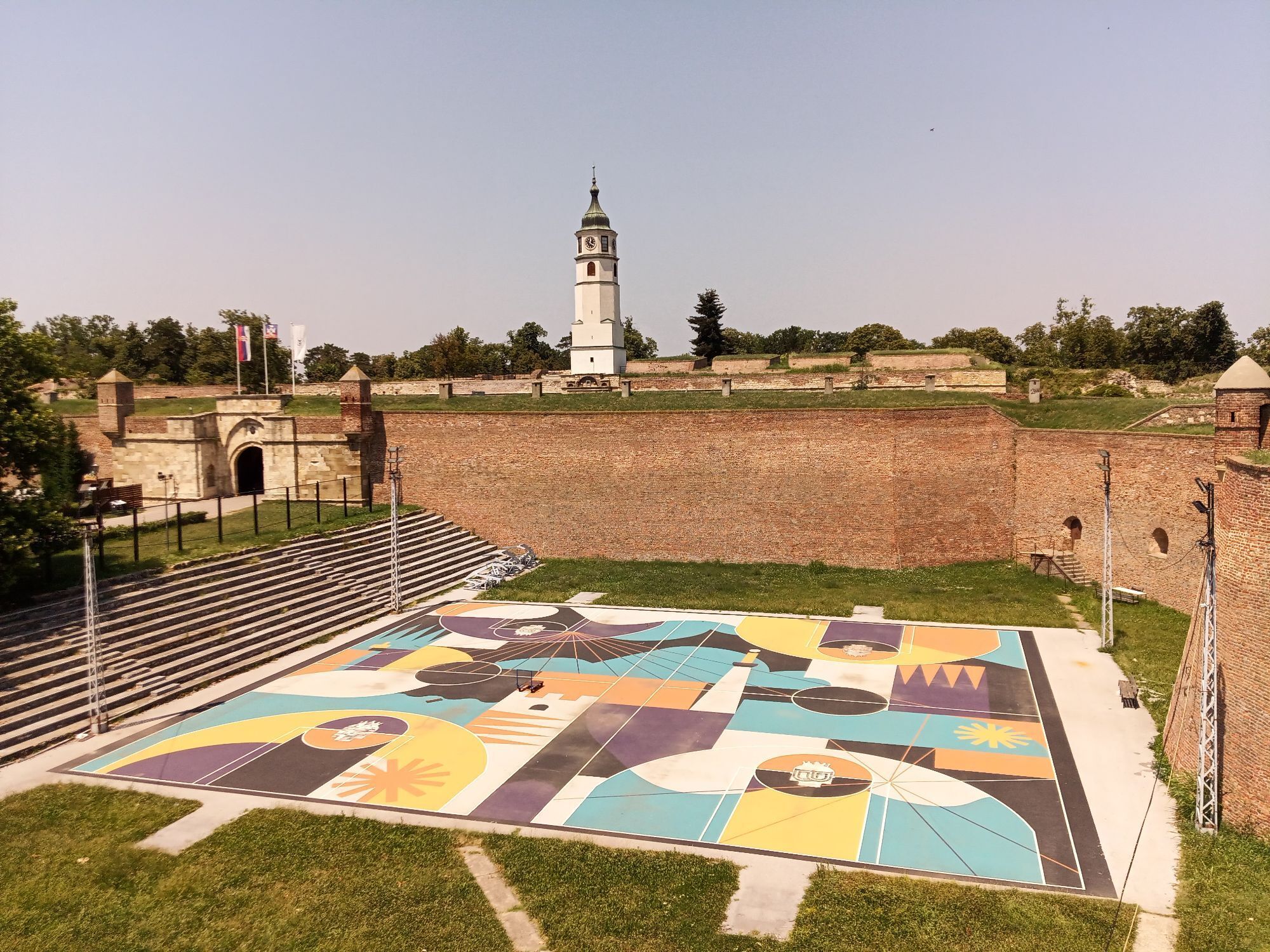
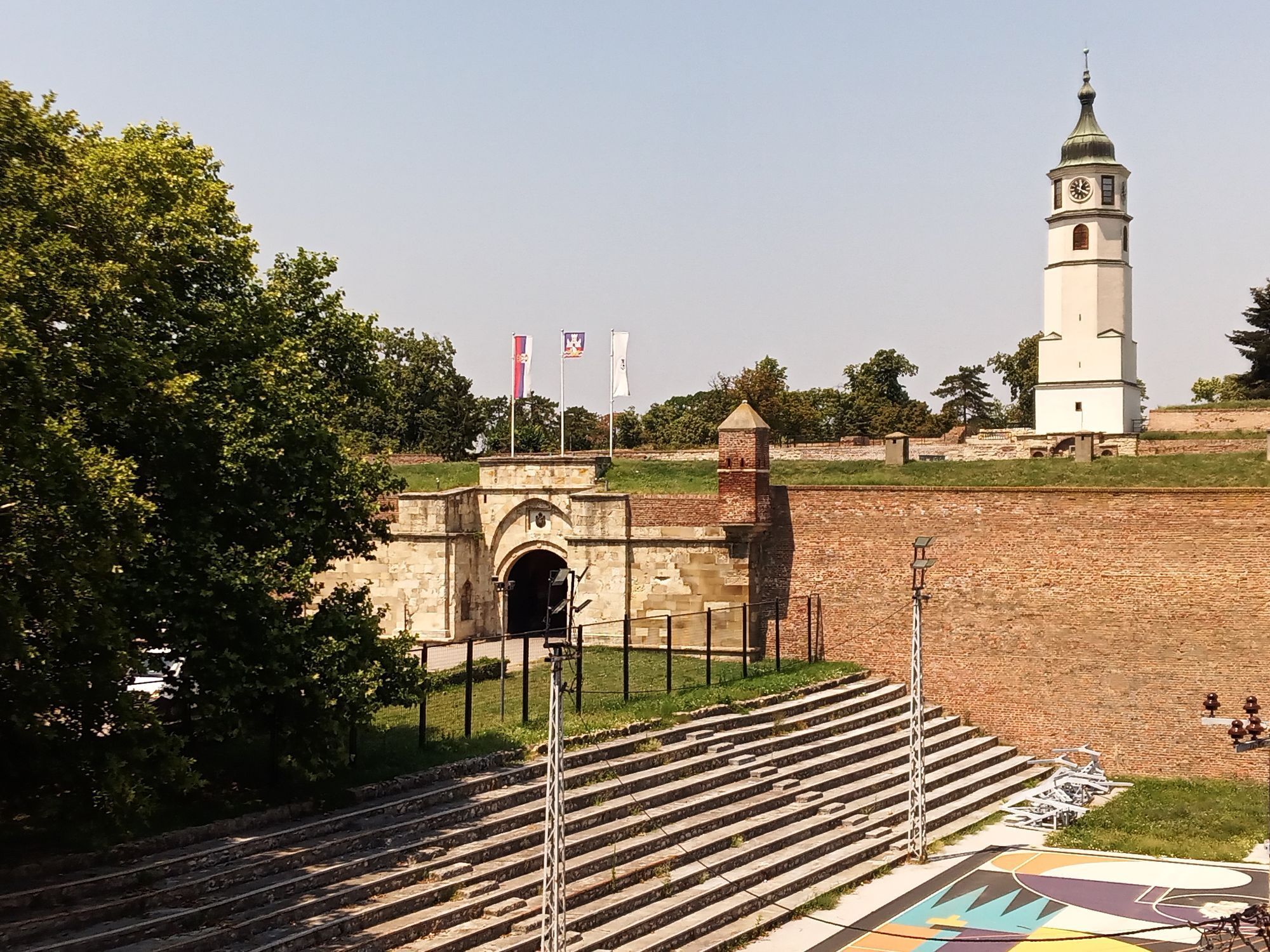
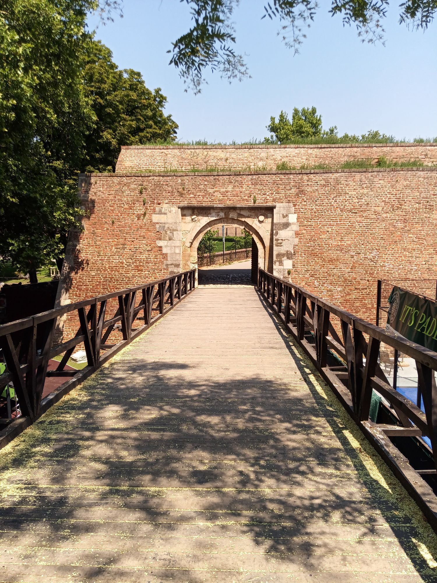
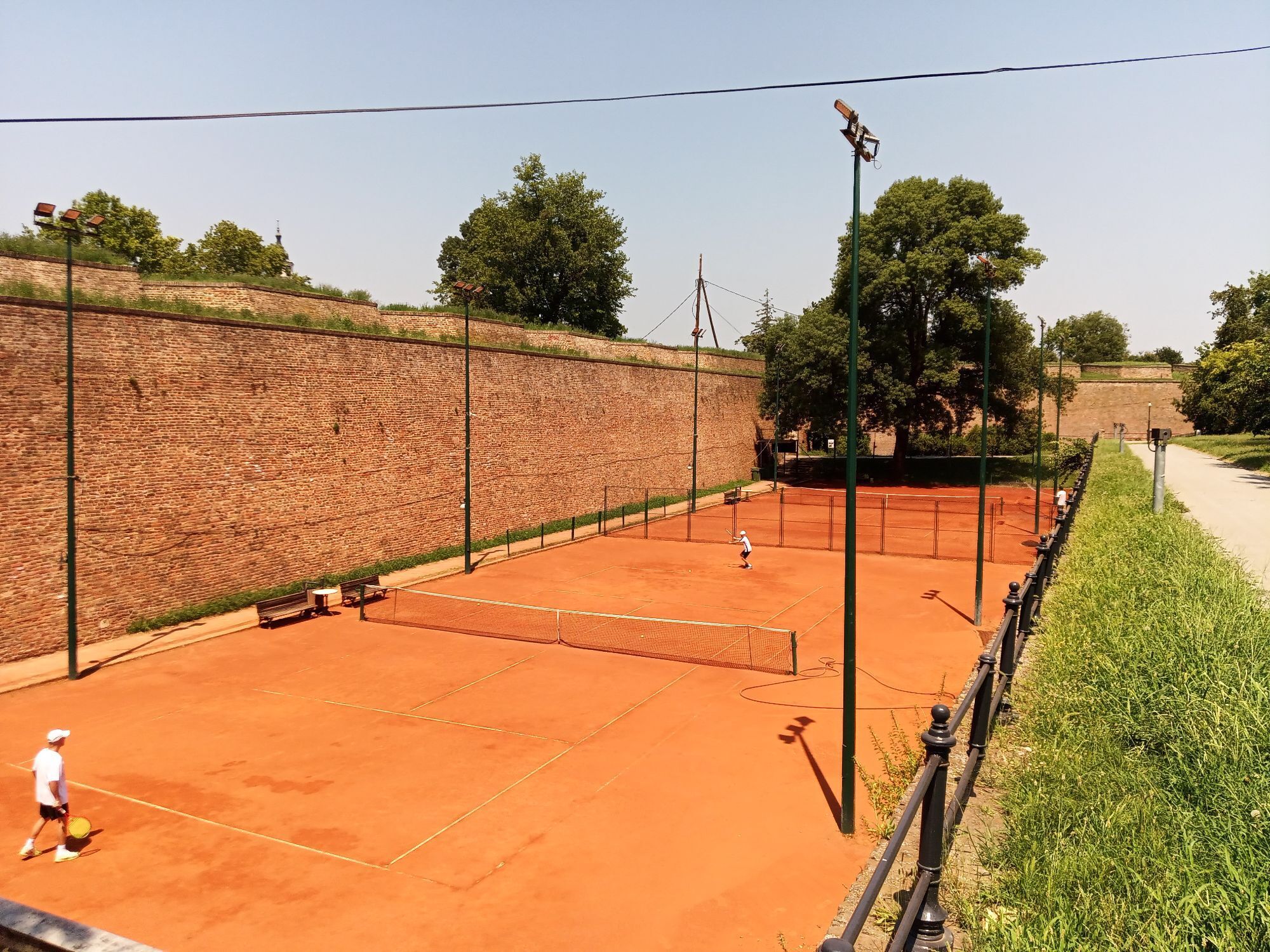
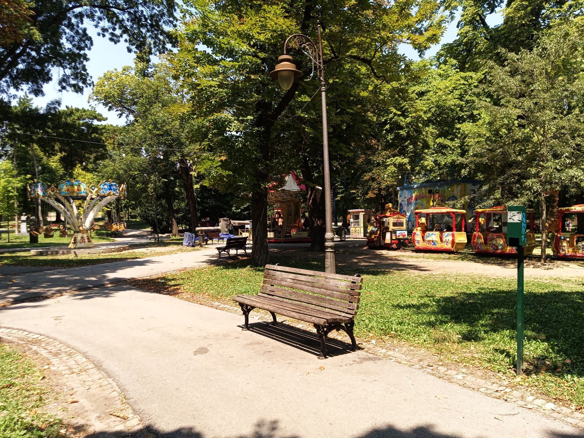
Leaving Kalemegdan, where the confluence of the Sava and Danube has been guarded since Roman times, the trail gradually departs the urban centre of Belgrade and heads south through the expanding suburbs...
Avala has long held strategic importance because of its commanding position south of Belgrade. The hill provided wide views over the approaches to the city and the great route leading toward Niš and Constantinople. The stage ends on the forested heights of Avala.
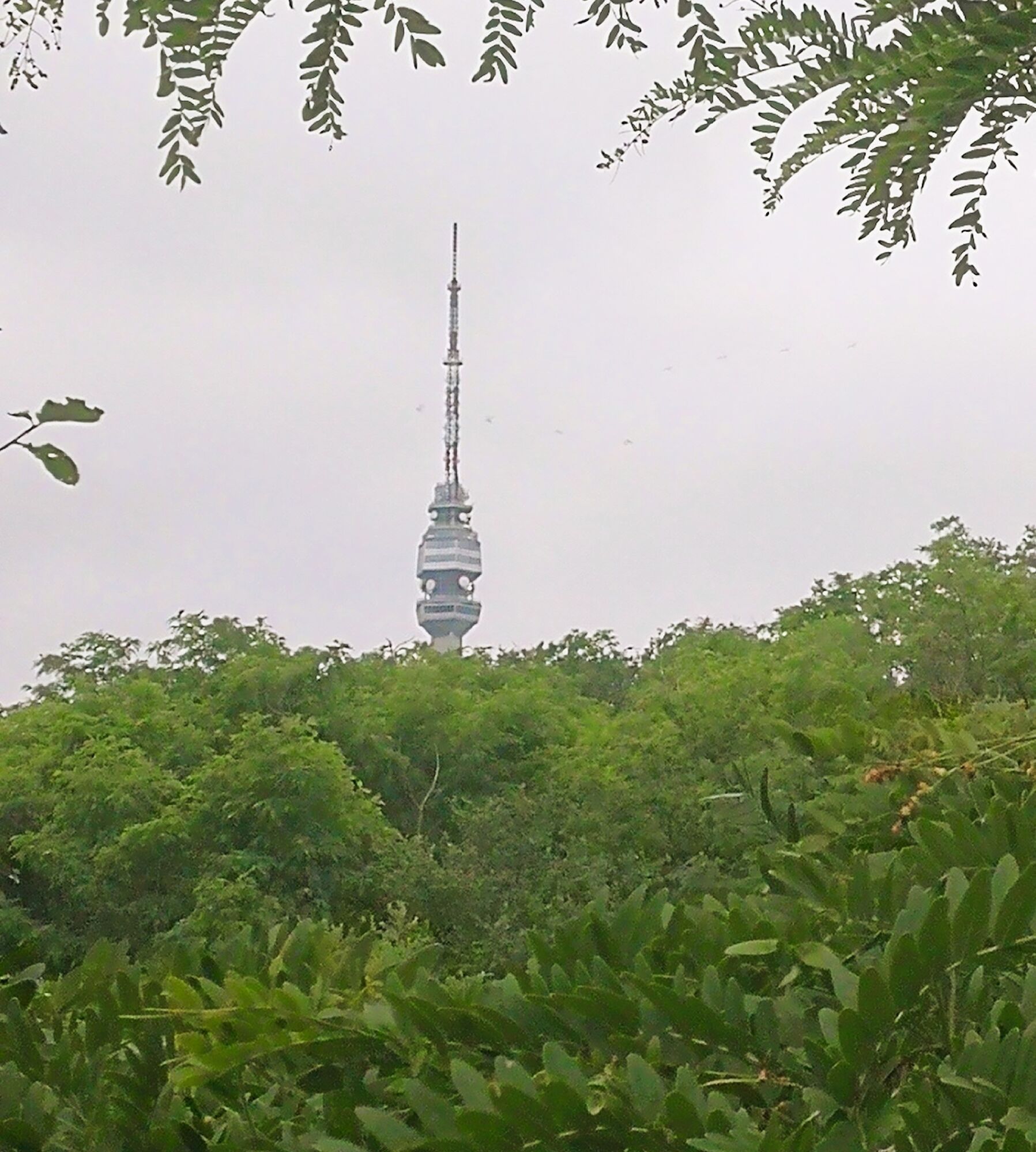
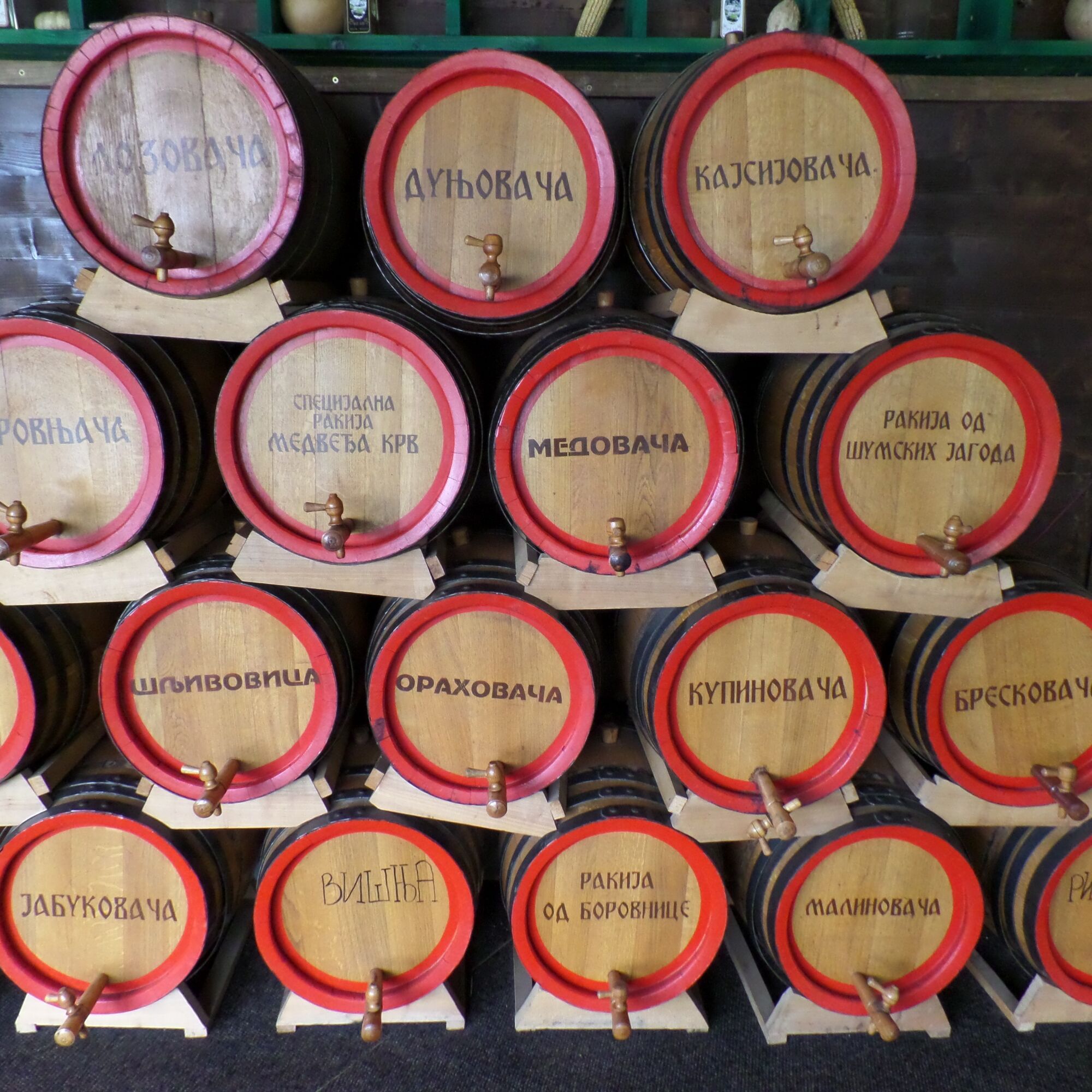
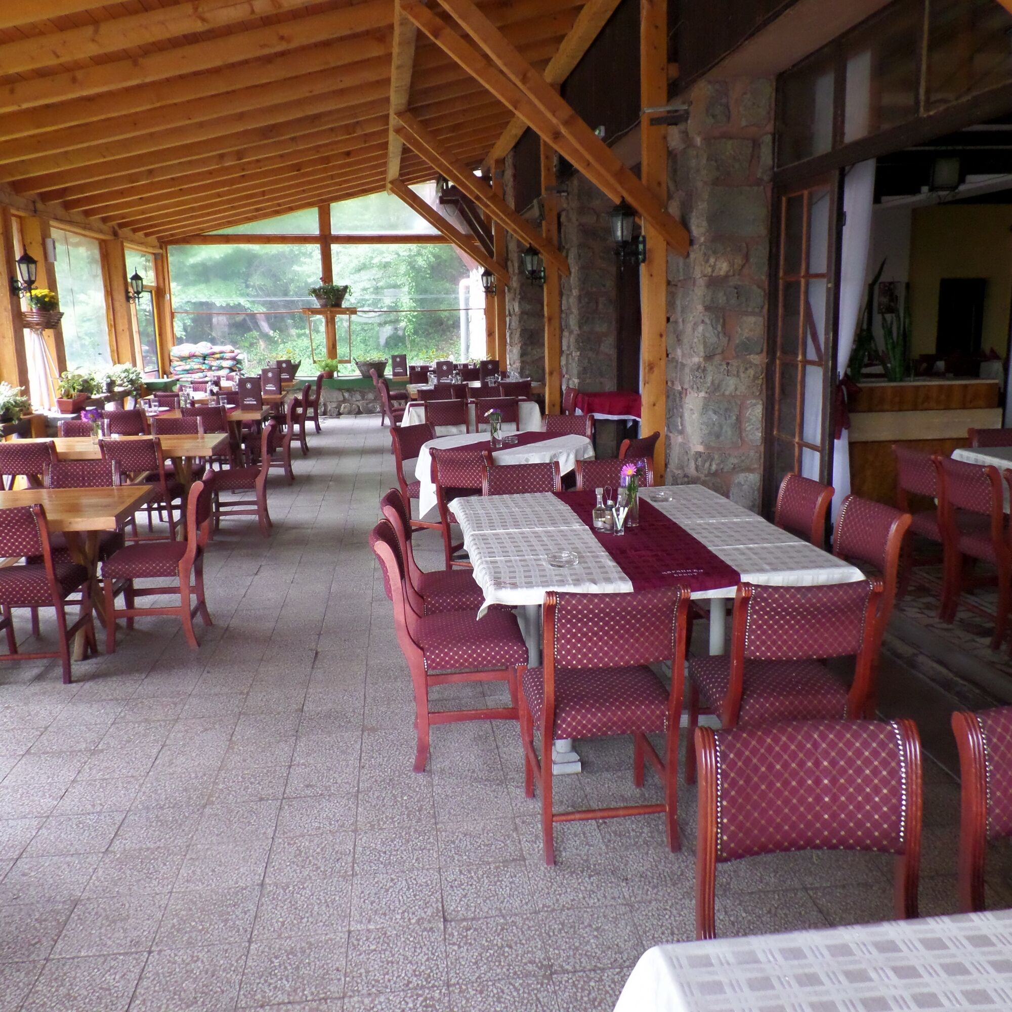
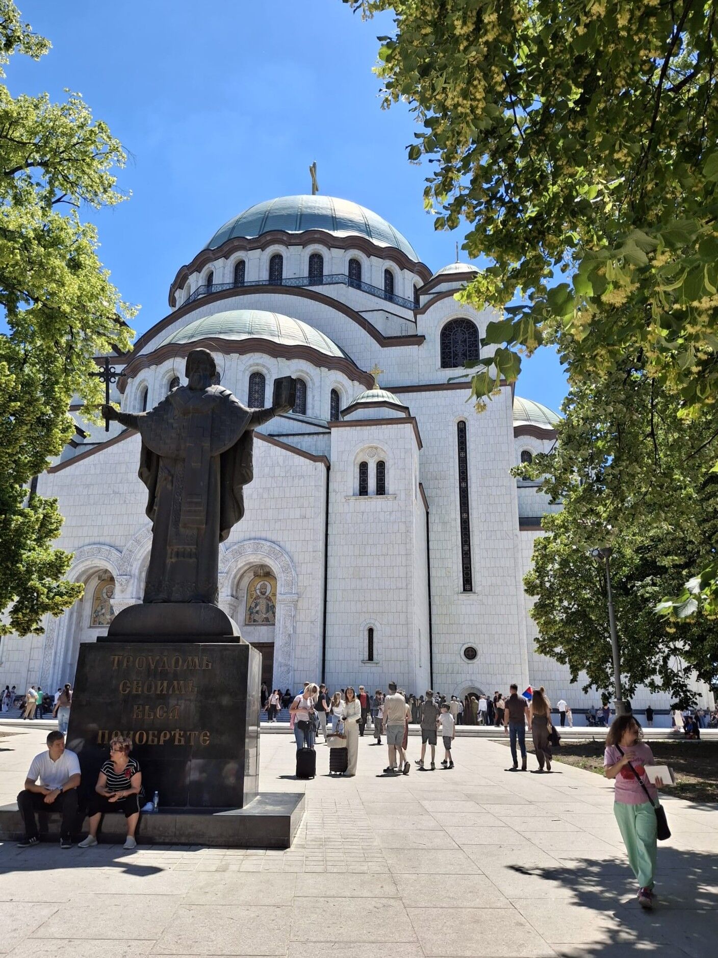

Leaving the clock‑tower gate of Kalemegdan, the route slips into the lively pedestrian world of Knez Mihajlova, following the ancient street grid of Roman Singidunum before continuing toward Hotel Moskva on Kralja Milana. Passing the presidential palace and the House of Parliament, the walk reaches Slavija Square and ascends to the great Saint Sava Church, then skirts the National Library to enter the quiet greenery of Karađorđev Park. At Franše D’Eperea, the trail crosses the boulevard and keeps to the right of the roaring Bulevar Oslobođenja flyover to step over the E‑75/A3 motorway, soon passing the Rajko Mitić Stadium, home of Red Star Belgrade. A turn onto Generala Pavla Jurišića Šturma and an immediate left leads into the wooded calm of Bajfordova šuma, which the route follows south until emerging beside late‑Yugoslav high‑rise blocks. From here it weaves through Crnotravska, Bulevar Oslobođenja, and Beranska, then onto Vojvode Stepe and continues south into Kumodraž on the city’s edge. The road bends onto Zemljoradnička and Đurđevdanska, where asphalt gives way to gravel and a dirt track curves toward Avala, crossing the motorway on a new flyover into Beli Potok. The final ascent leads through forested slopes to Čarapića Brest at the foot of Mount Avala, where the city finally falls away behind.
Tak
This stage of the Sultans Trail requires standard long-distance hiking equipment. Weather protection is essential, including rain and cold gear, depending on the season. In late spring and early summer, mosquito deterrents are strongly recommended, while during the hot season, sun protection and a sufficient water supply are essential. Reliable offline navigation tools should be carried at all times.
At this stage, no specific safety precautions are required.
When flying to Belgrade, you land at Belgrade Nikola Tesla Airport (BEG), Serbia’s main international airport, located in the SurÄin district about 18 km west of the city centre. From there, travellers typically continue into town by official taxi, airport bus (A1 or 72), or private transfer, all of which operate directly from the arrivals area.
The facilities at the airport include ATMs, currency exchange offices, SIM card kiosks, cafés, and a taxi desk. Your options to travel to the city are::
Official Airport Taxi (Easiest & Most Comfortable). Go to the Taxi Info Desk in the arrivals hall and tell them your destination. You receive a fixedâprice voucher (no negotiation, no scams). Pay the driver at the end. A1 Minibus (Fastest Public Transport). Route: Airport → Slavija Square (central Belgrade) Travel time: ~30 minutes Good for: Quick access to the city centre. The ticket can be bought from the driver. Payment is only in cash (RSD). City Bus 72 (free). Route: Airport → Zeleni Venac (downtown) Travel time: 30–40 minutes. This bus runs frequently and is good if you’re staying near Republic Square or the old town. This bus is free of charge. City Bus 600 (free) connects the airport with Beograd Centar railway station (Prokop). Useful if you continue your journey by train. This bus is free of charge.Note: all public transport inside Belgrade is free of charge. However, special express services, such as the A1 Airport Express bus and E Express lines, are available. require a paid ticket and are not part of the free system.
Beli Potok / Avala
Beli Potok bus stop (#21621), Avala on route 149, Bulevar patrijarha Germana.
Bus 401, 402 from Slavia Square, check the bus line at bgprevoz.rs, see the timetable here
Bus 403, 405, 407, 408, 450, 451, 466, 470, 474, and 491 from the bus station Voždovac, check the bus line at bgprevoz.rs, see timetable here
Flying is the simplest and most dependable way to reach Belgrade from almost anywhere. Belgrade Nikola Tesla Airport has frequent connections to major European hubs, and flights operate consistently yearâround. This avoids the fragmented rail and bus networks in the Balkans and is the method most travellers use.
Train. Serbia’s international rail network is extremely limited. Despite what many websites claim, there are no direct trains from Austria, Croatia, or most neighbouring countries. The only functioning rail entry into Serbia is: from any city → Budapest → Szeged → Subotica → Novi Sad → Belgrade. This is the only allâtrain route that actually works today.
Bus. If you’re coming from Central Europe or the Balkans, buses are often the easiest option. Serbia has a dense network of regional and international bus routes.
You can reach Belgrade directly from: Hungary, Bosnia, Montenegro, North Macedonia, Bulgaria, Romania, Austria, Germany, and the Netherlands (longâdistance operators).
Buses are reliable, frequent, and usually cheaper than trains.
Beli Potok / Avala
Beli Potok / Avala can be reached by bus from Belgrade. Bus stop Avala on route 149 Bulevar patrijarha Germana. Services thin out in the evening,
T1
In nearby Beli Potok:
Hotel SuÄeviÄ Hotel 1000 Ruza Apartment Marija Camping SerbiaHotel Moskva, a recognisable Art Nouveau corner marking your departure from the old centre.
The Ethnographic Museum of Belgrade offers a compact window into Serbian rural life and material culture.
The Old Palace, the 19thâcentury royal residence fronting one of the city’s busiest crossroads.
Slavija Square, a large circular junction where pedestrian crossings require attention.
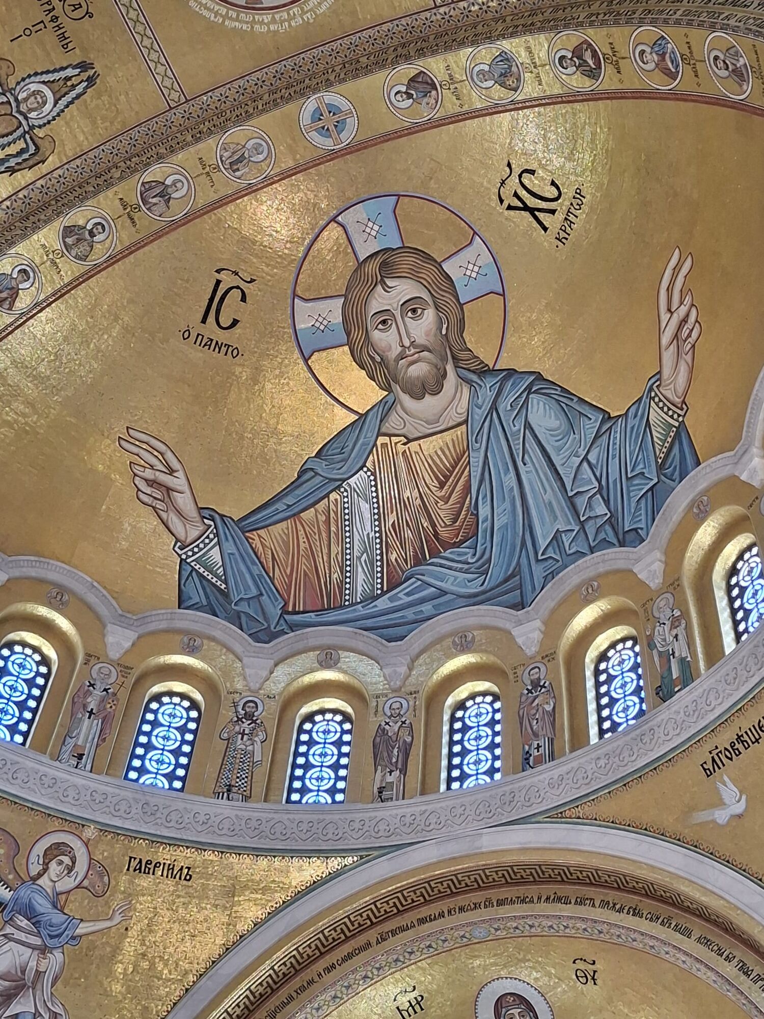
Saint Sava Church, its vast dome and mosaics dominating the plateau above the square.
The National Library of Serbia, set in a quiet green space beside the church.
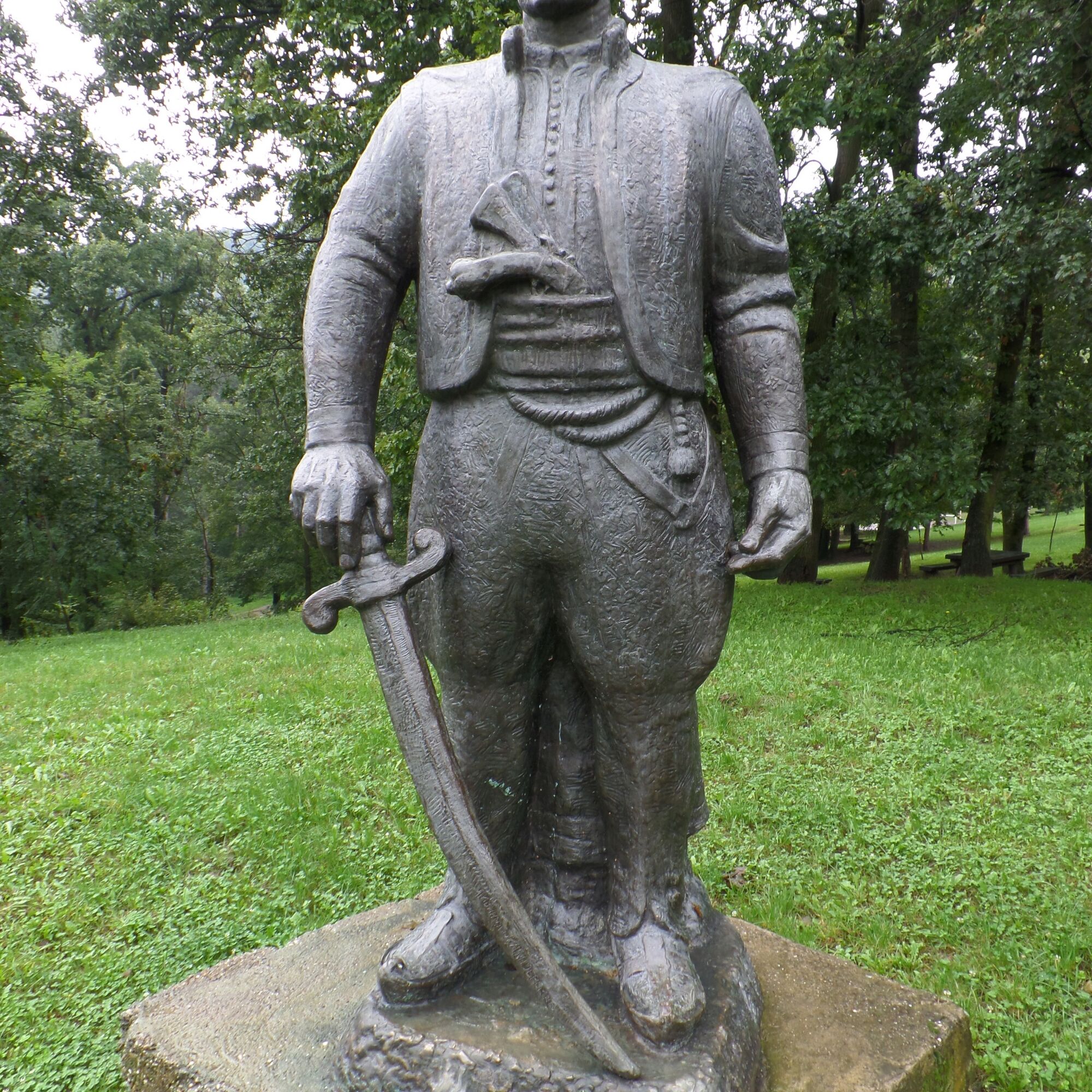
ÄarapiÄ Monument, honouring the local revolutionary at the foot of the Avala Mountain.
Popularne wycieczki w okolicy
-
ST403 Avala - Gročka
średniWędrówka 20,6 km -
ST402 Wycieczka na szczyt Avala
średniWędrówka 4,02 km -
Ada ciganlija
światłoWędrówka 7,66 km -
Раковица - Кошутњак - Црква Светог Ђорђа - Храм Светог Александра Невског
średniDroga rowerowa 44,6 km -
Београд (Стари град) - Храм Светог Александра Невског - Београд - Косанчићев венац
średniJazda na rowerze 39 km -
Београд (Стари град) - Београд - Црква Светог оца Николаја - Црква светог Петра
średniJazda na rowerze 20,1 km -
Београд (Стари град) - Aqua Ski - Sunset 1999 - Београд
średniDroga rowerowa 28,1 km -
Дунавска тераса - Никино брдо - Вишњичко брдо - Милићево брдо
średniWędrówka 7,61 km -
Планинарски дом „Чарапићев Брест“ - Бели Поток - Чарапићев брест
światłoWędrówka 4,05 km -
Београд (Земун) - Земун - Гардош - Београд
światłoWędrówka 5,07 km
Wędrówki i tropienie


Nie przegap ofert i inspiracji na następne wakacje
Twój adres e-mail została dodana do listy mailingowej.





