






JULIANA TRAIL: stage 14 Bovec - Log pod Mangartom
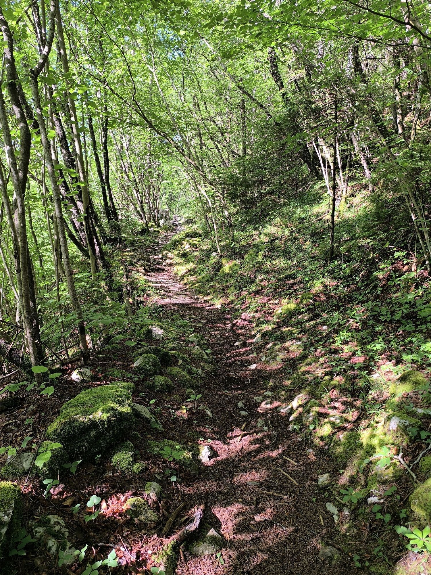
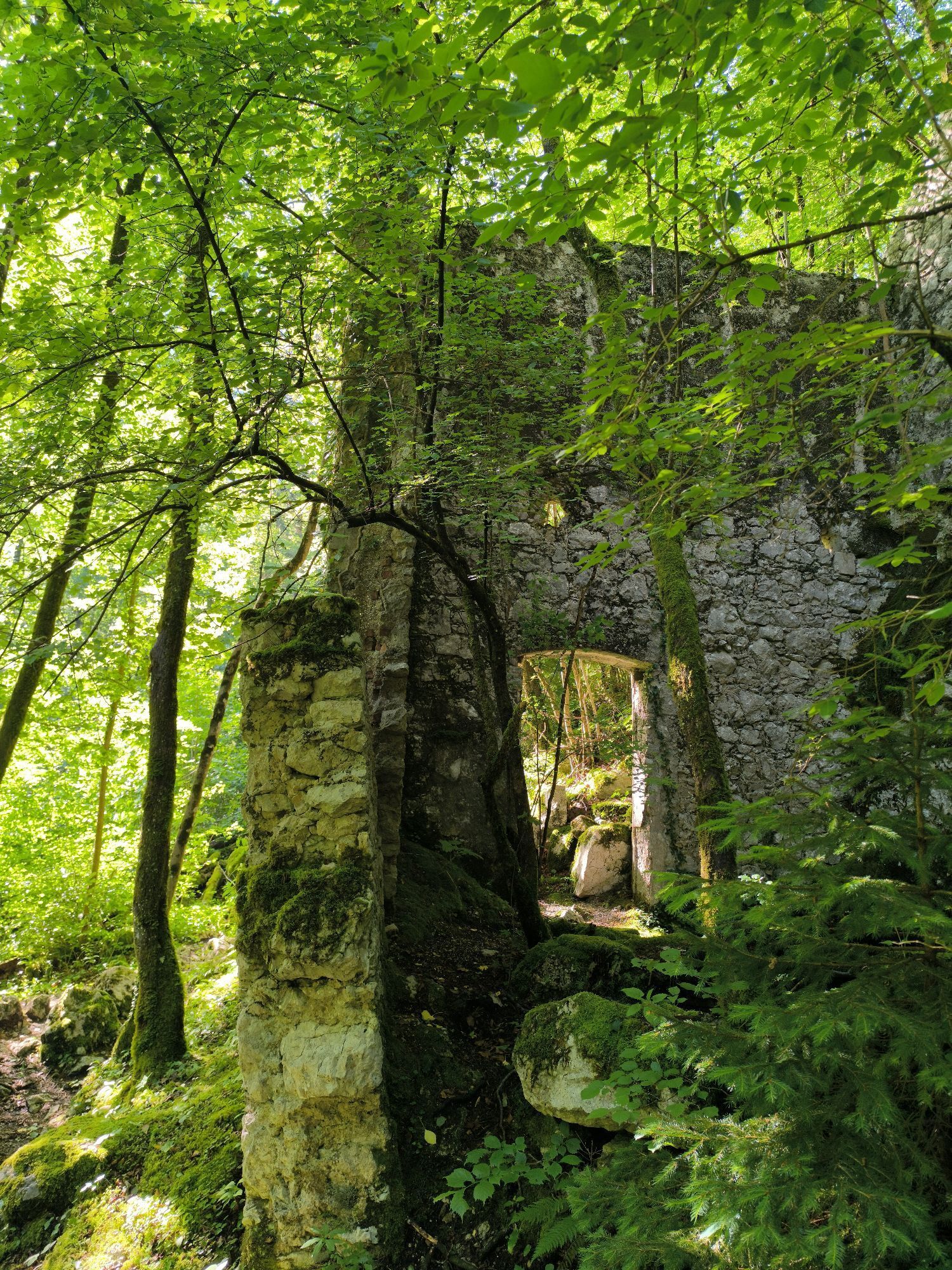
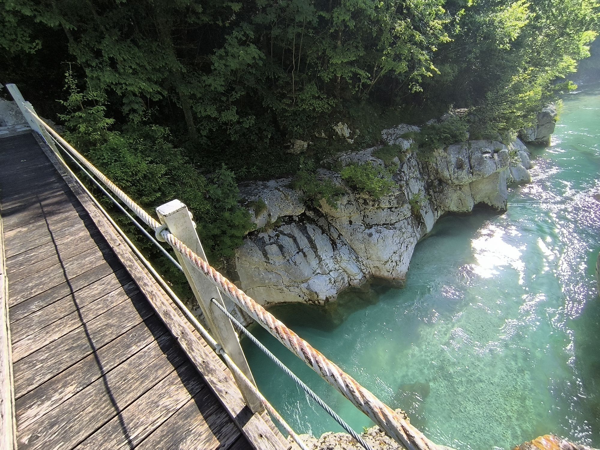
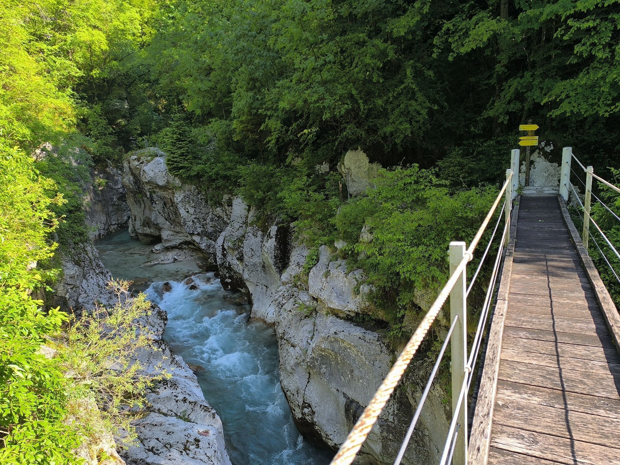
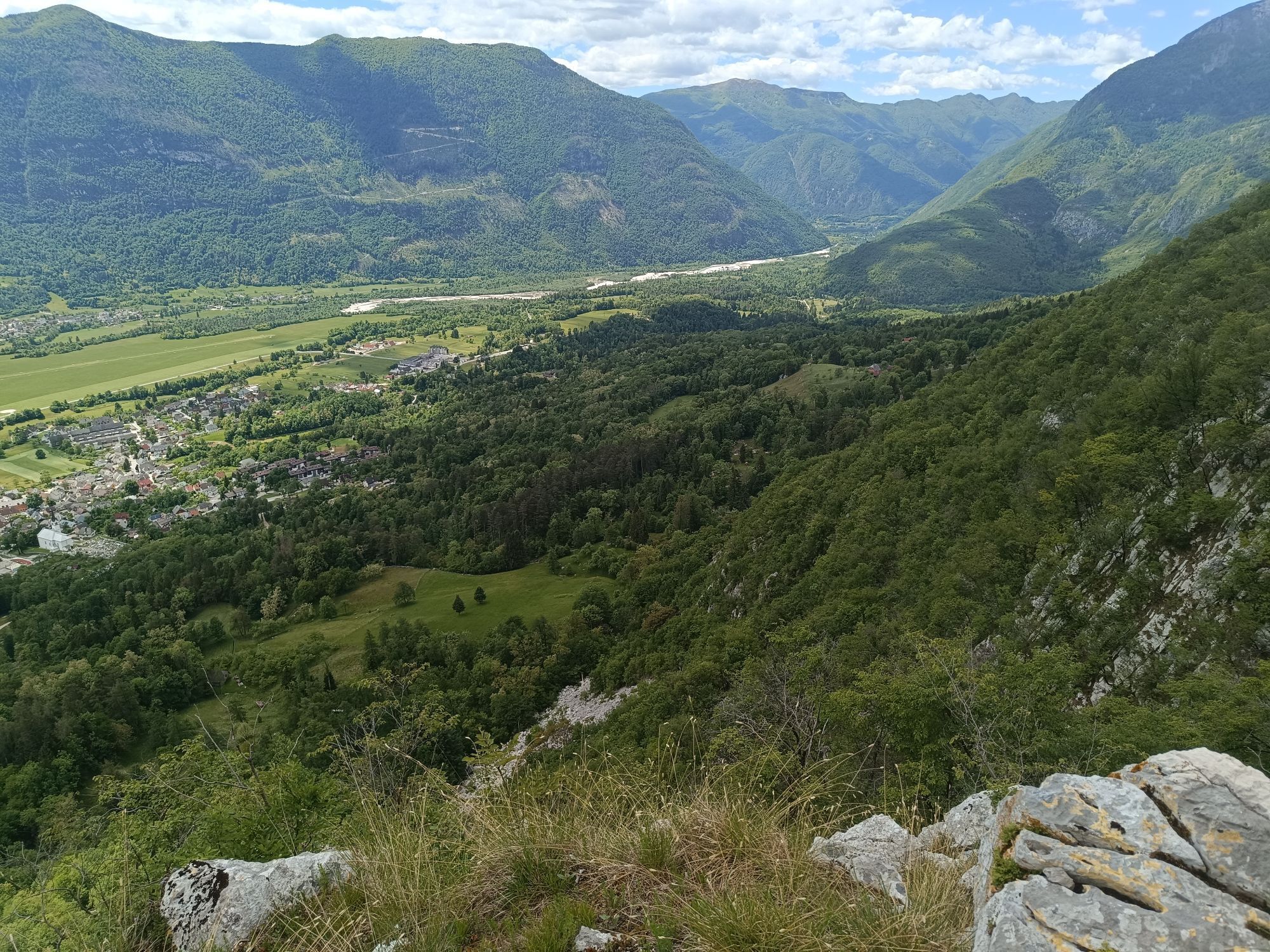
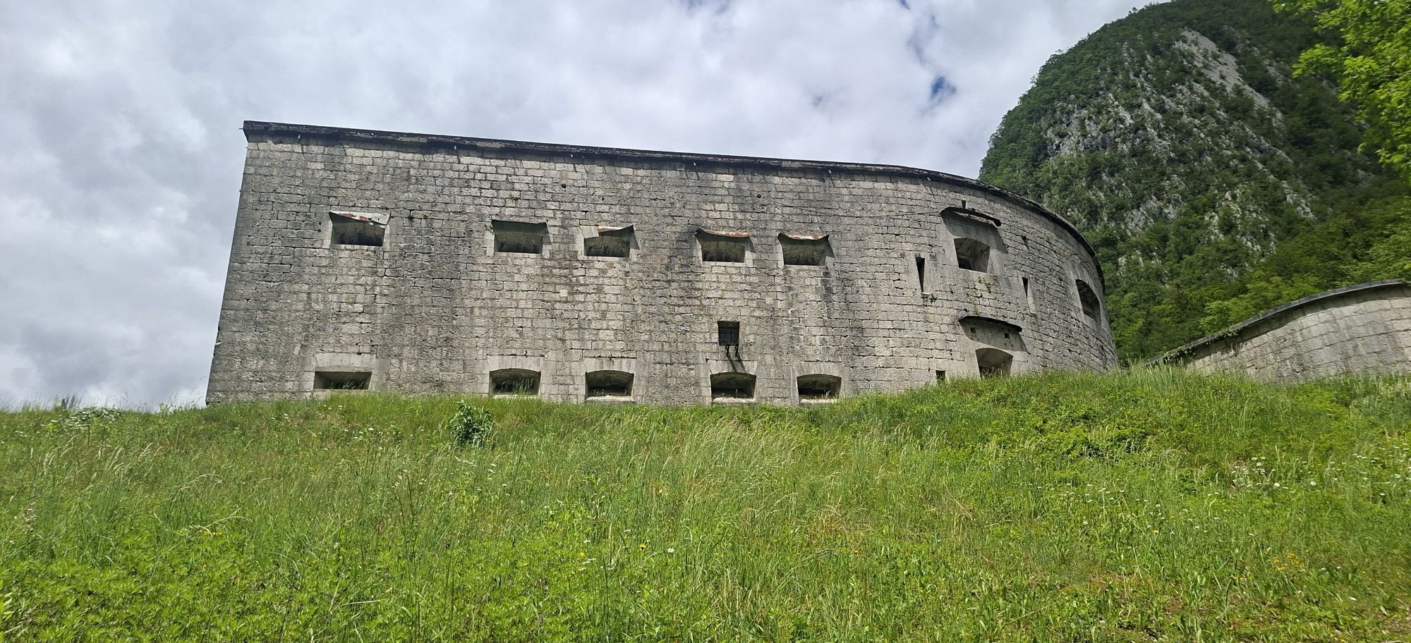
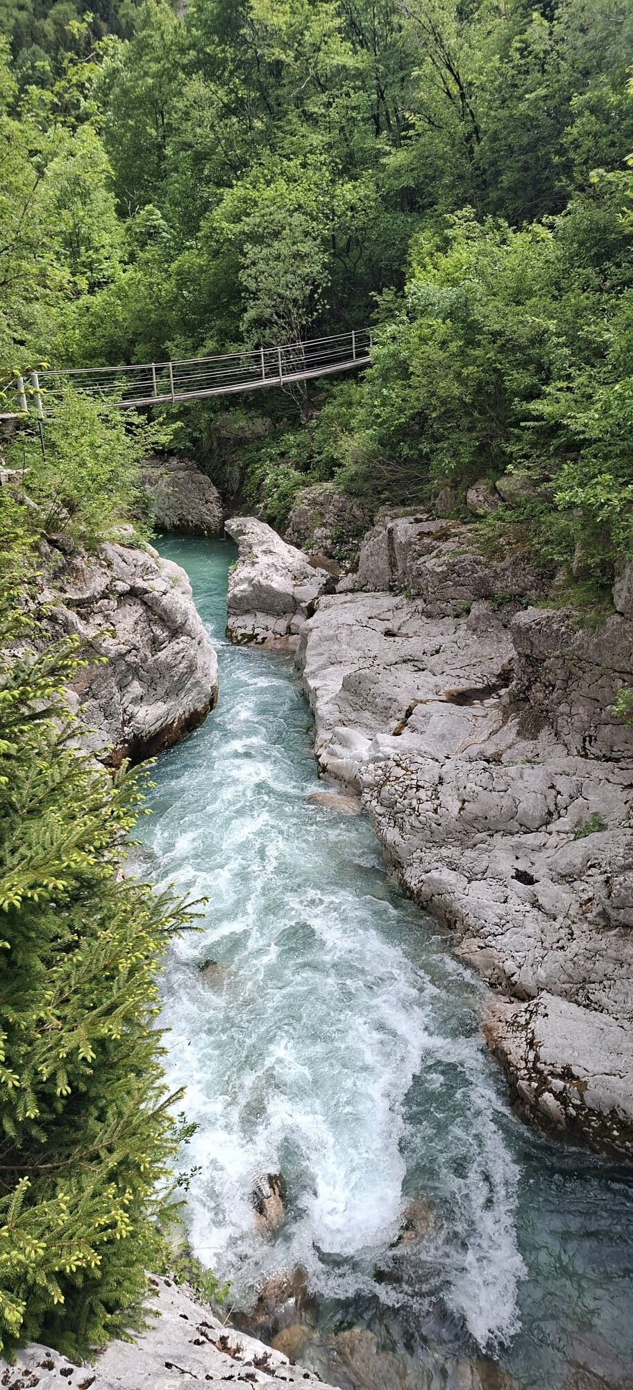
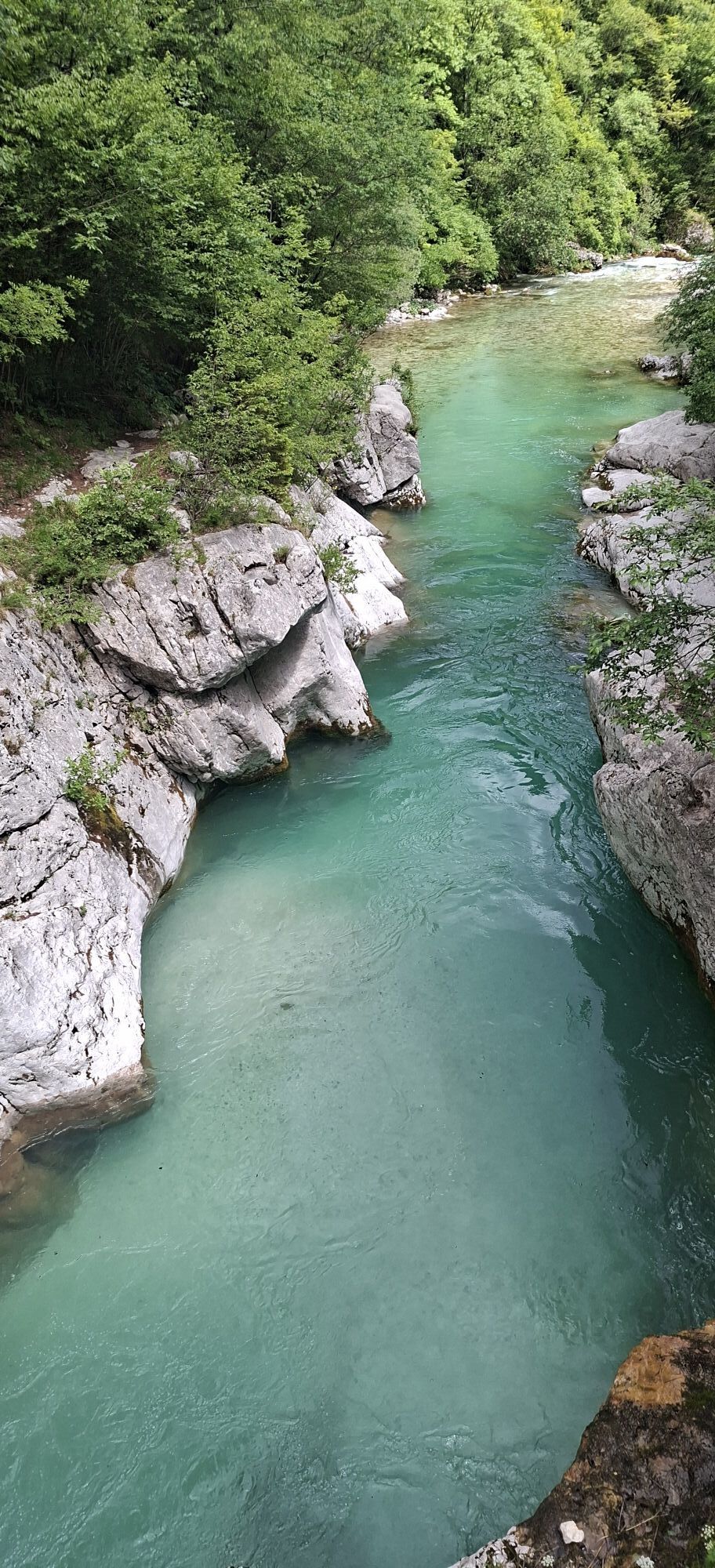
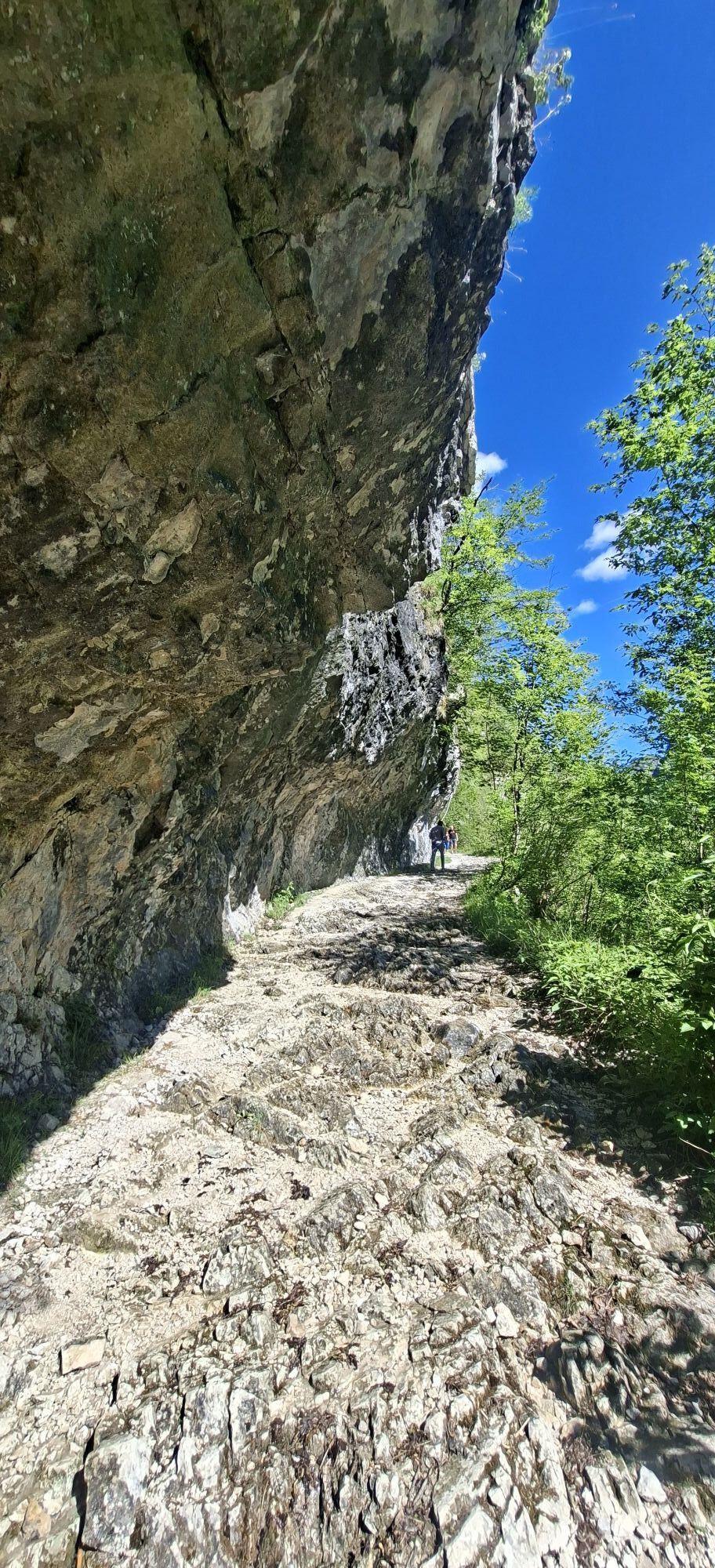
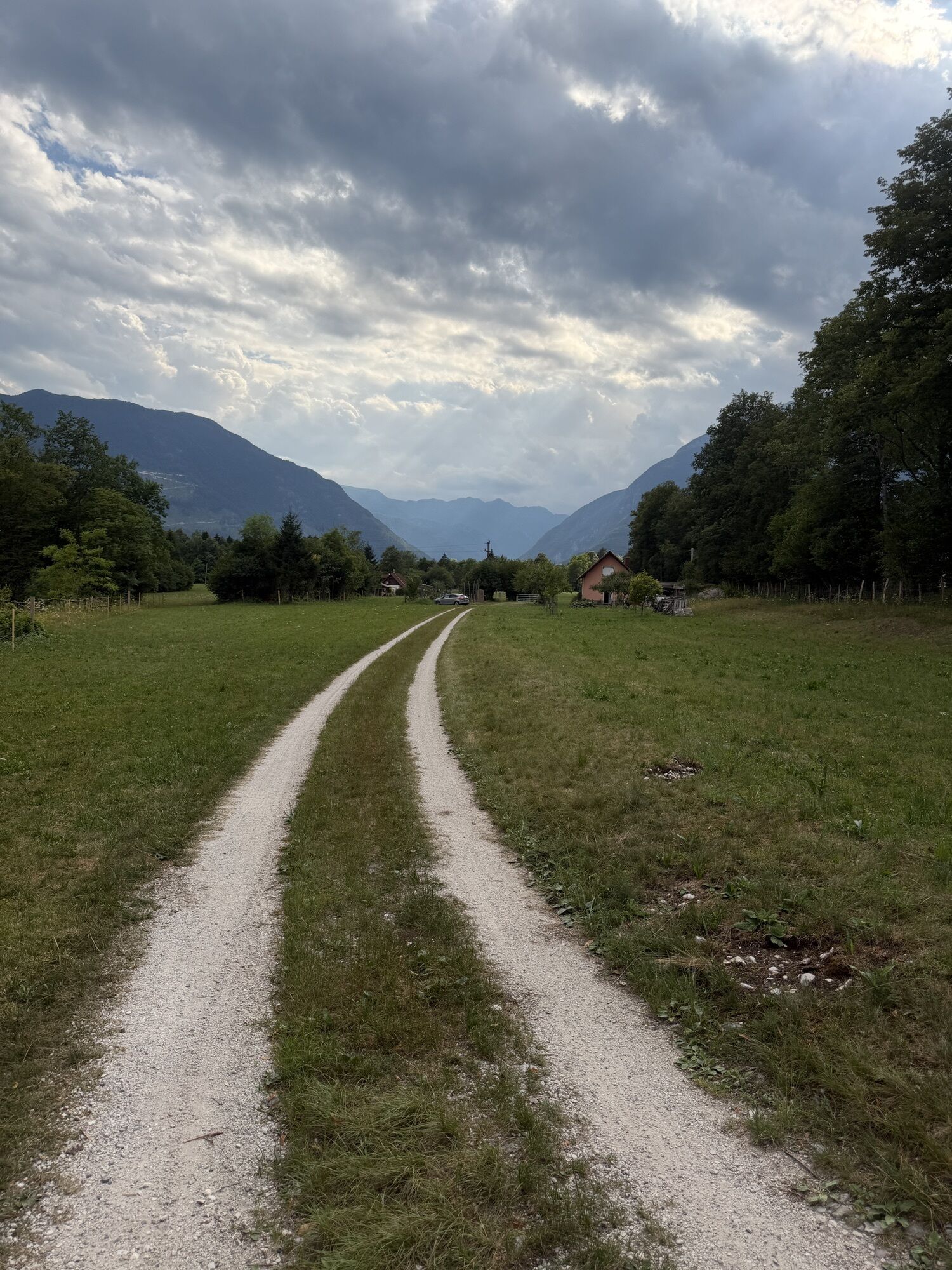
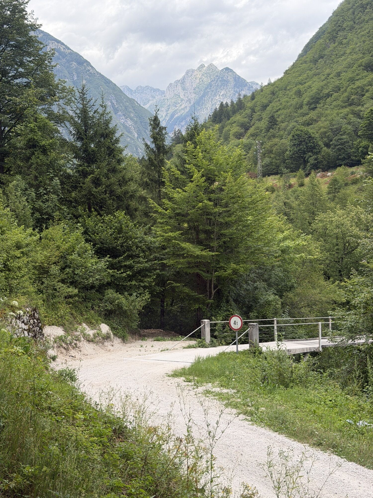
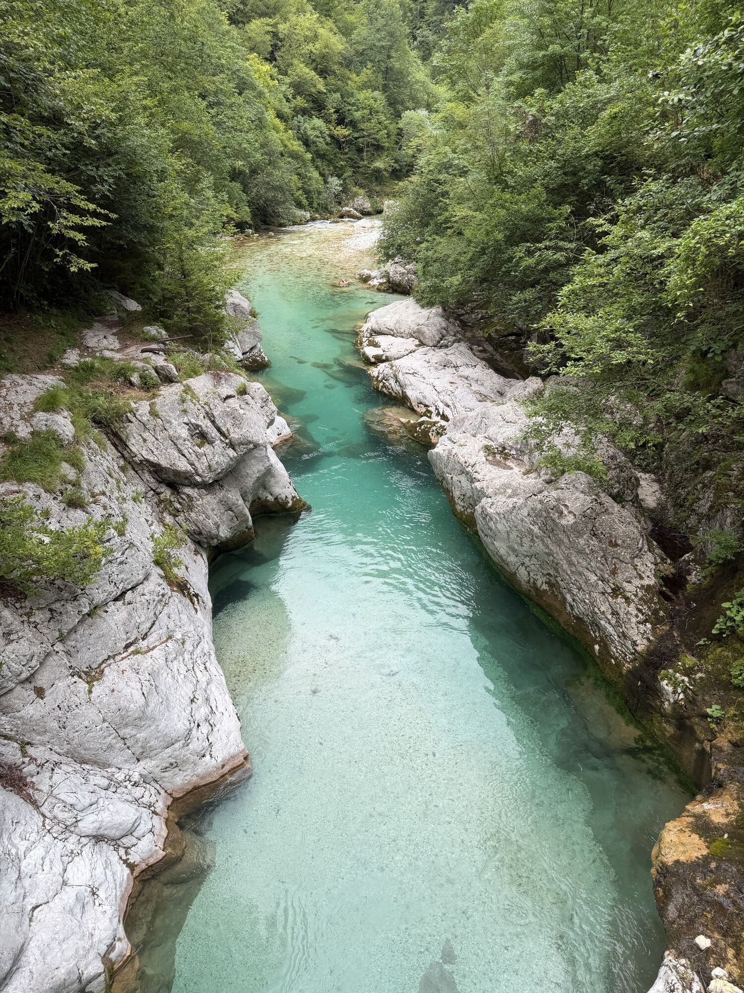
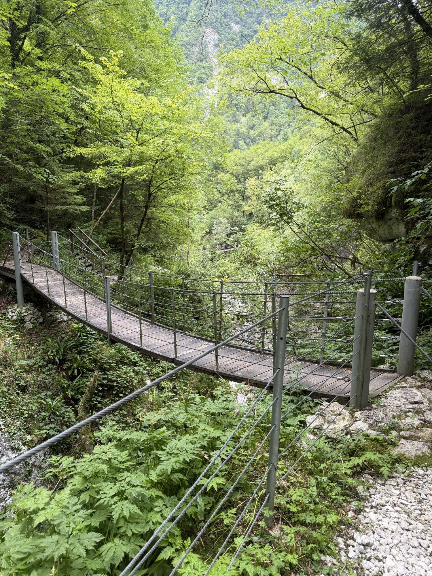
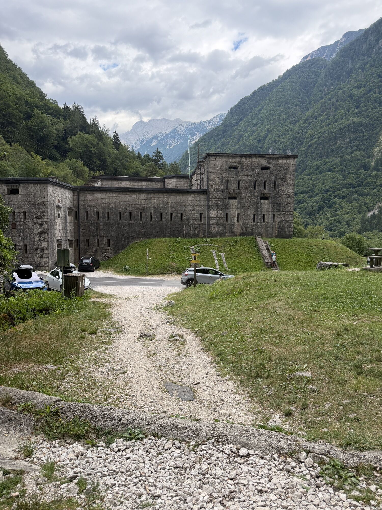
From Bovec, we walk along the historic route past Ravelnik, the positions of the Austrian army in WWI, which are currently presented in an outdoor museum, and to the mighty Kluže Fortress, built above...
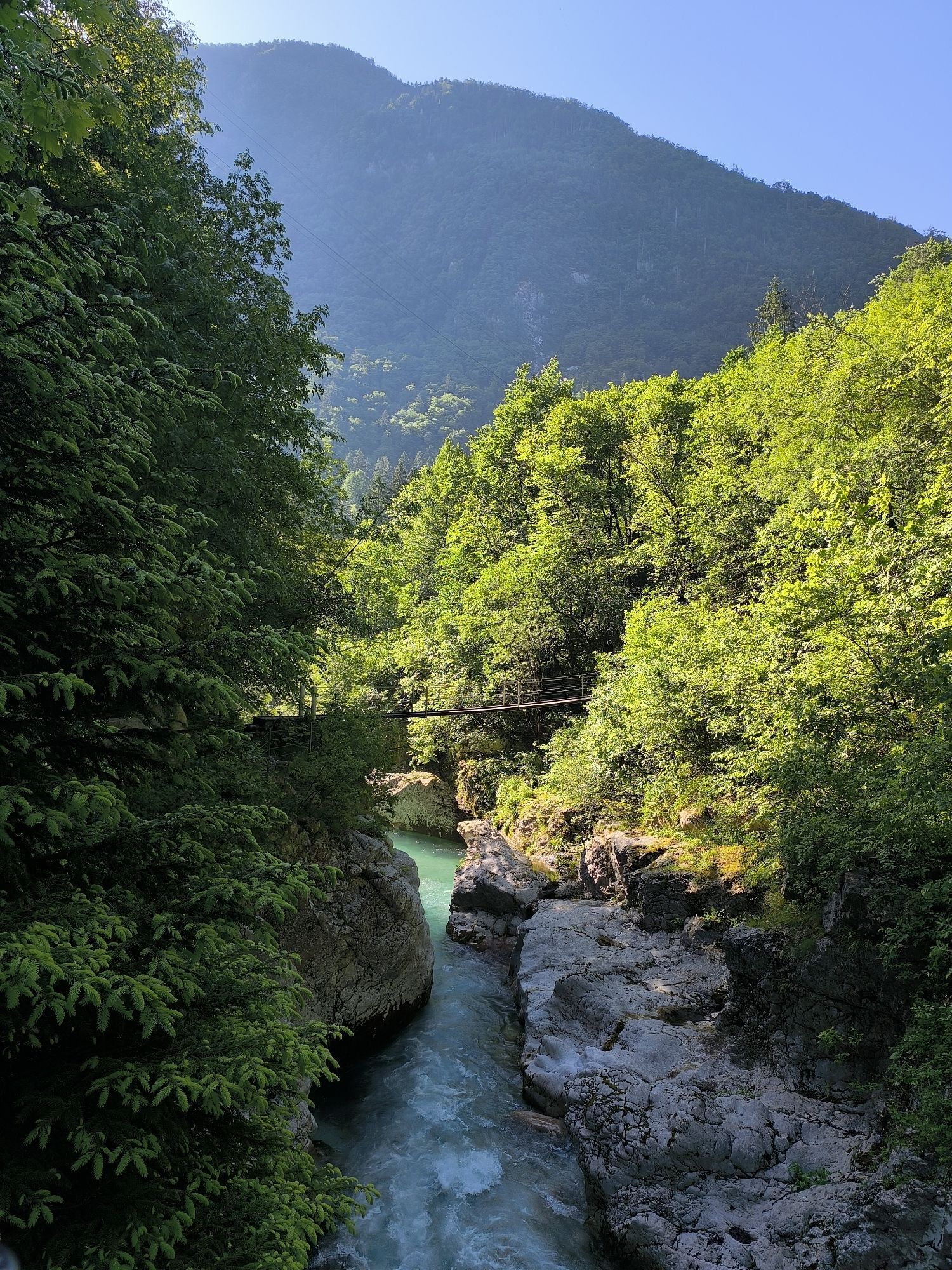
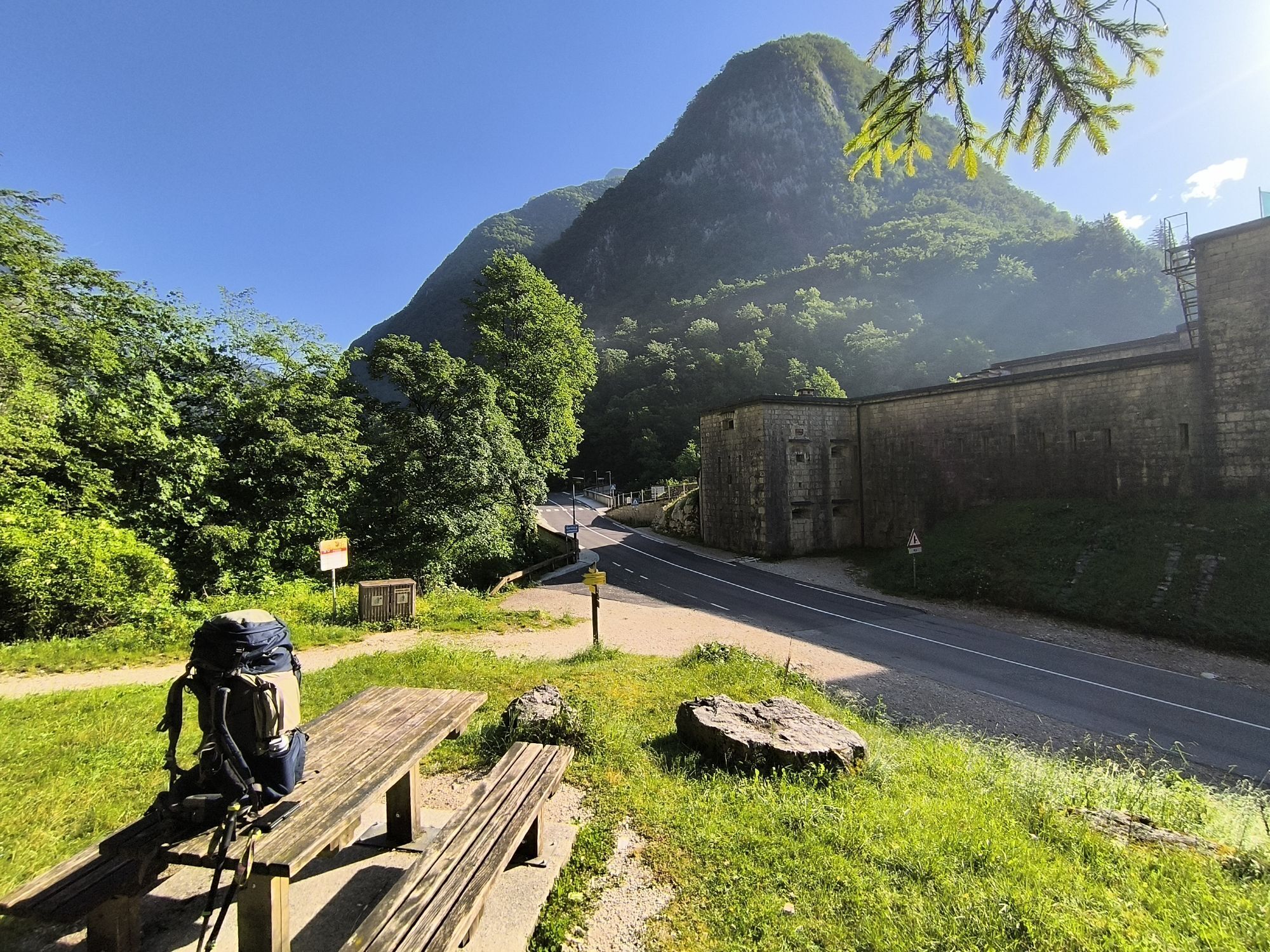
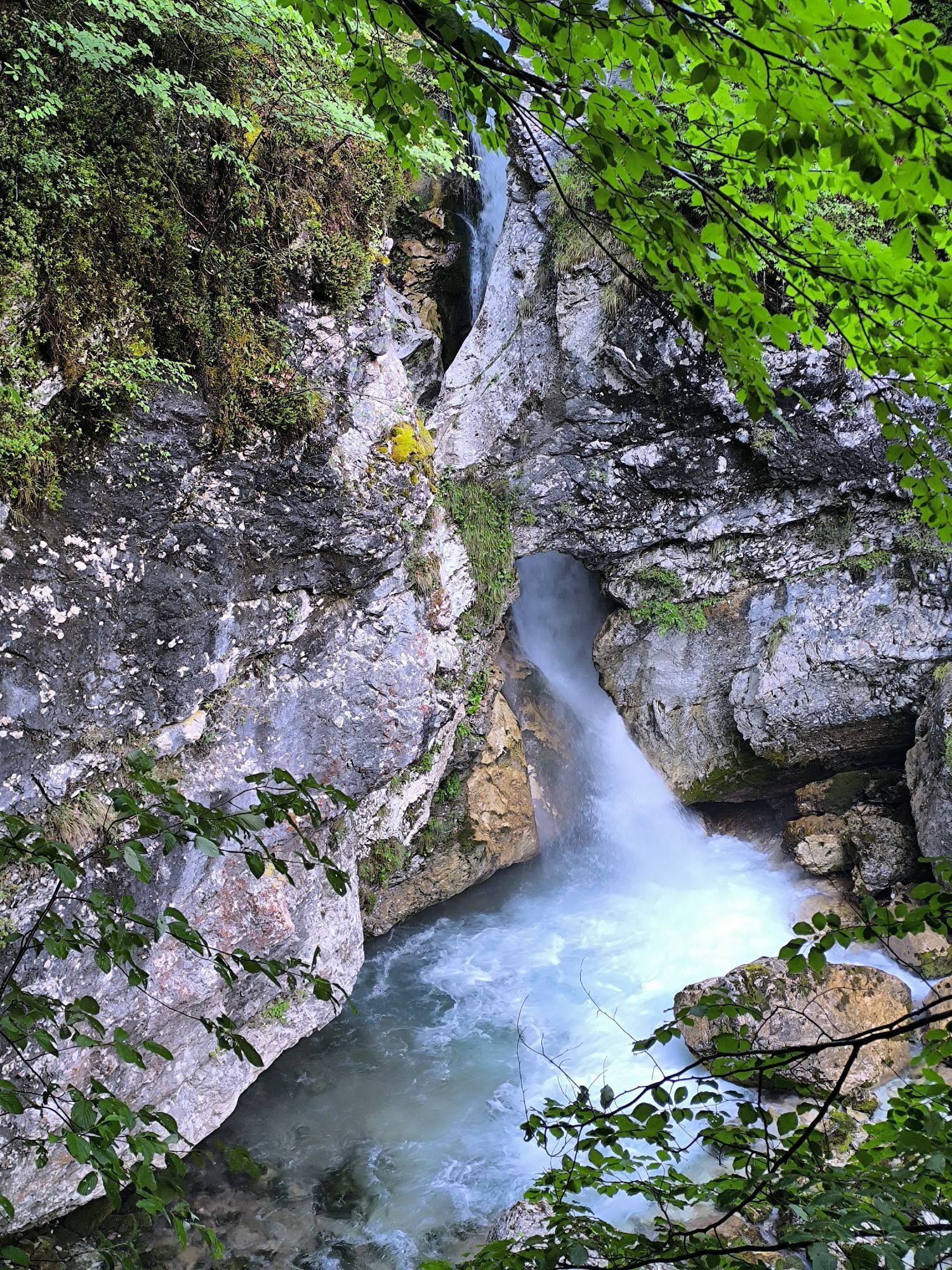
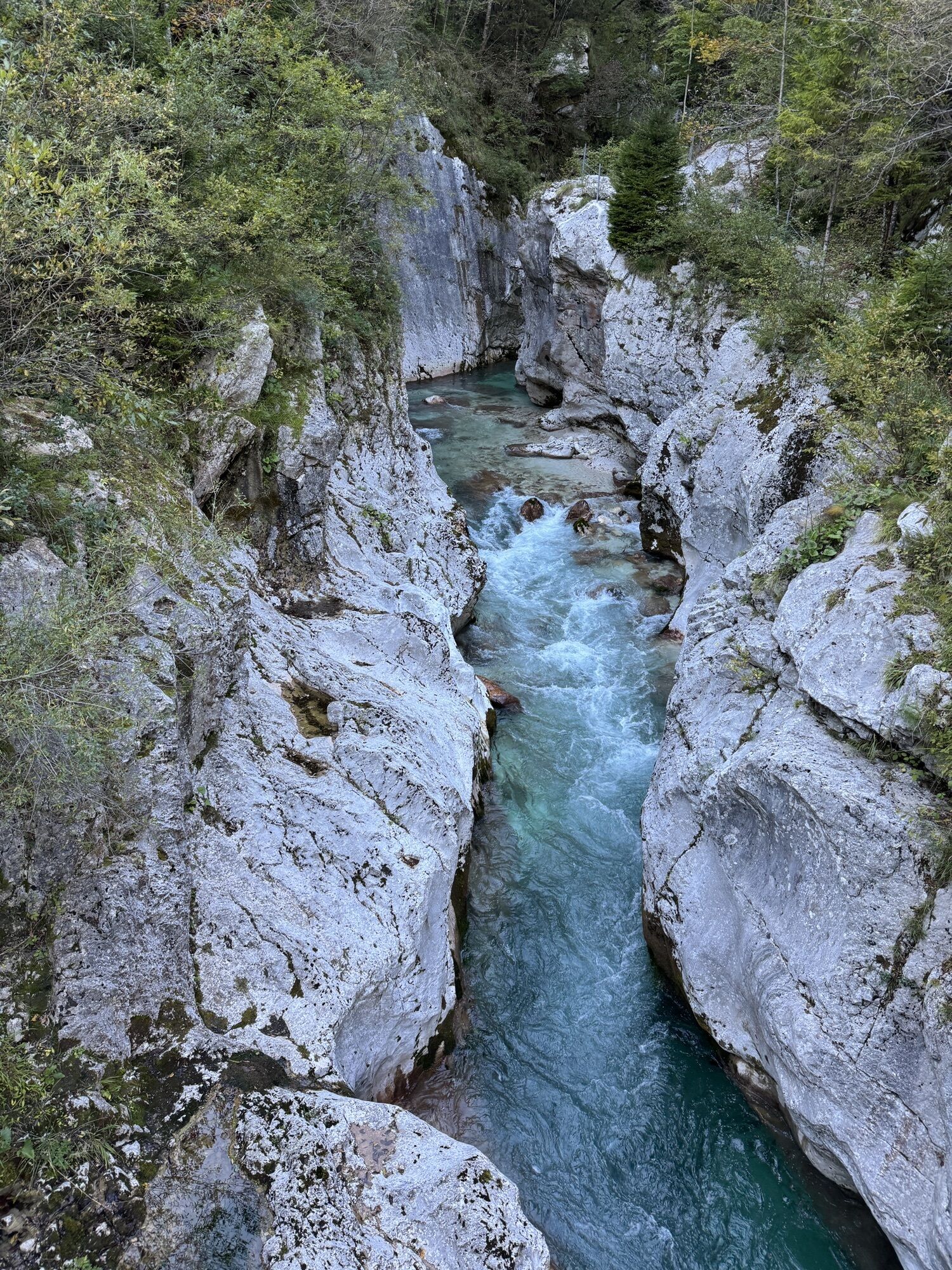
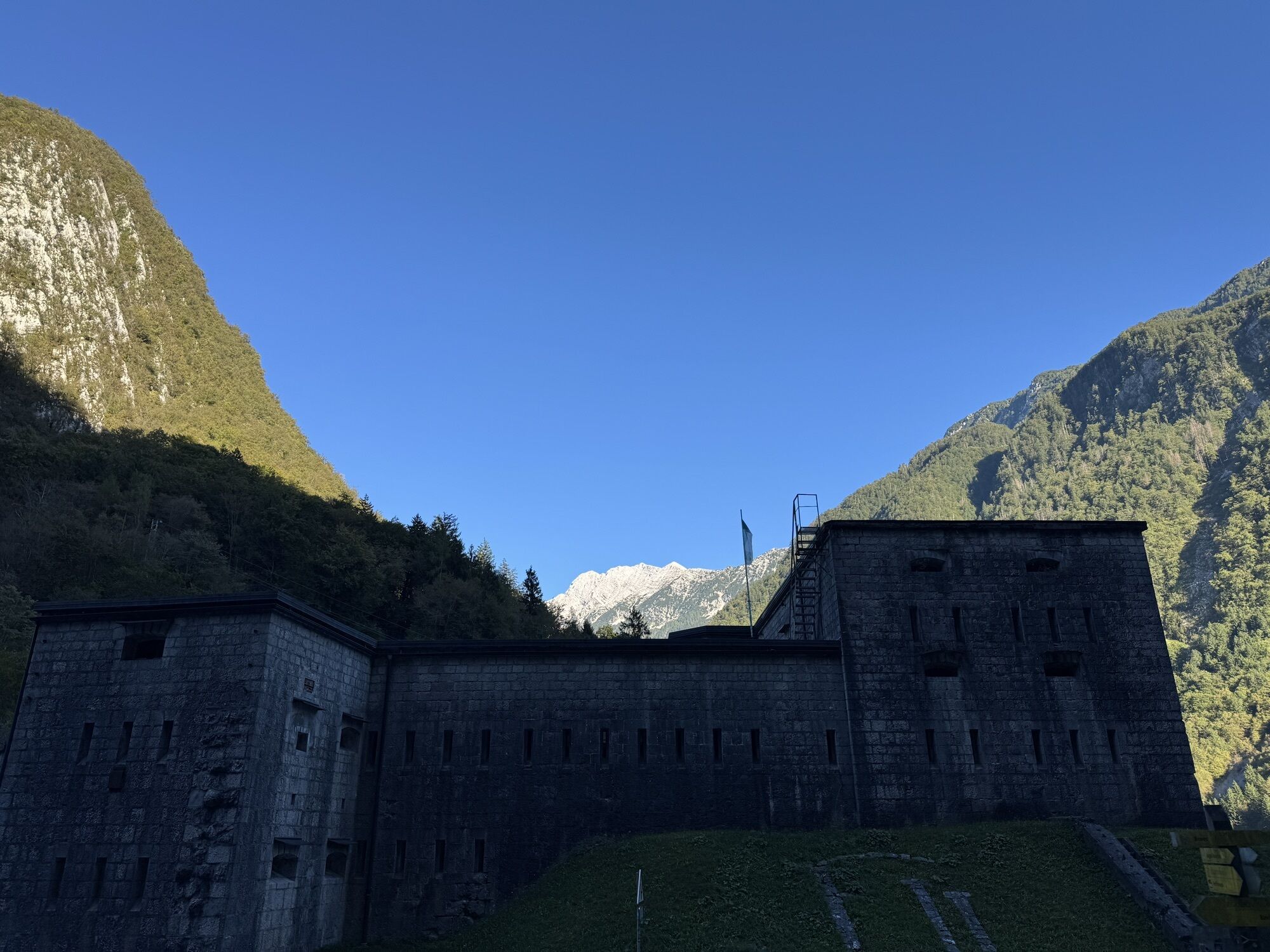
From Bovec, we walk along the historic route past Ravelnik, the positions of the Austrian army in WWI, which are currently presented in an outdoor museum, and to the mighty Kluže Fortress, built above the 60-metres deep gorge of the Koritnica River. We continue along the right bank to the gorge and waterfalls of NemÄlja brook, past the lower part of the Možnica Valley and back to the main road that leads to Log.
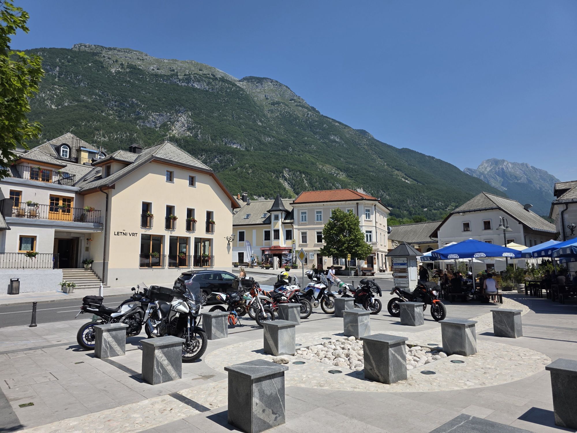
Log pod Mangartom is a beautiful village nested below the peaks of Jerebica, Mangart, Jalovec and Loške stene. In the middle of the village, there is an entry to a tunnel, that ran to the mine on the Italian side, which was the source of income for many people in the past. The mine is closed now.

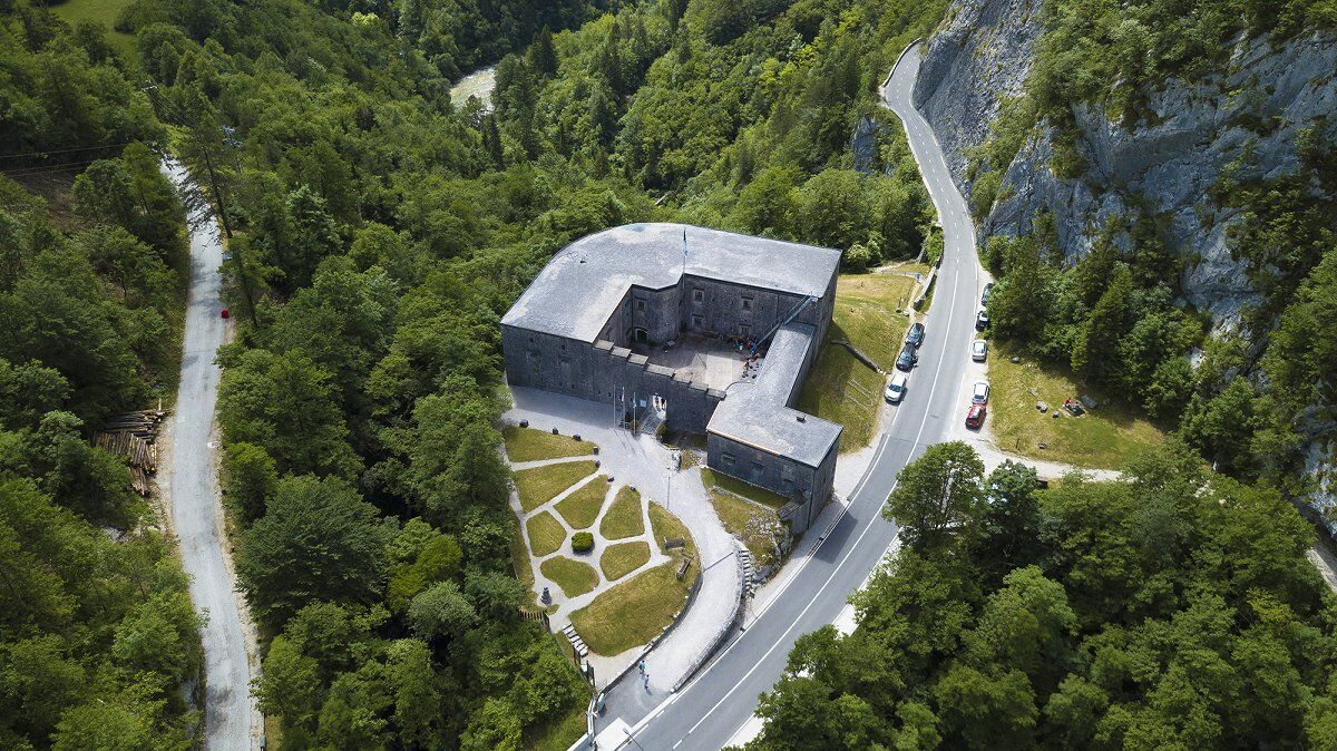
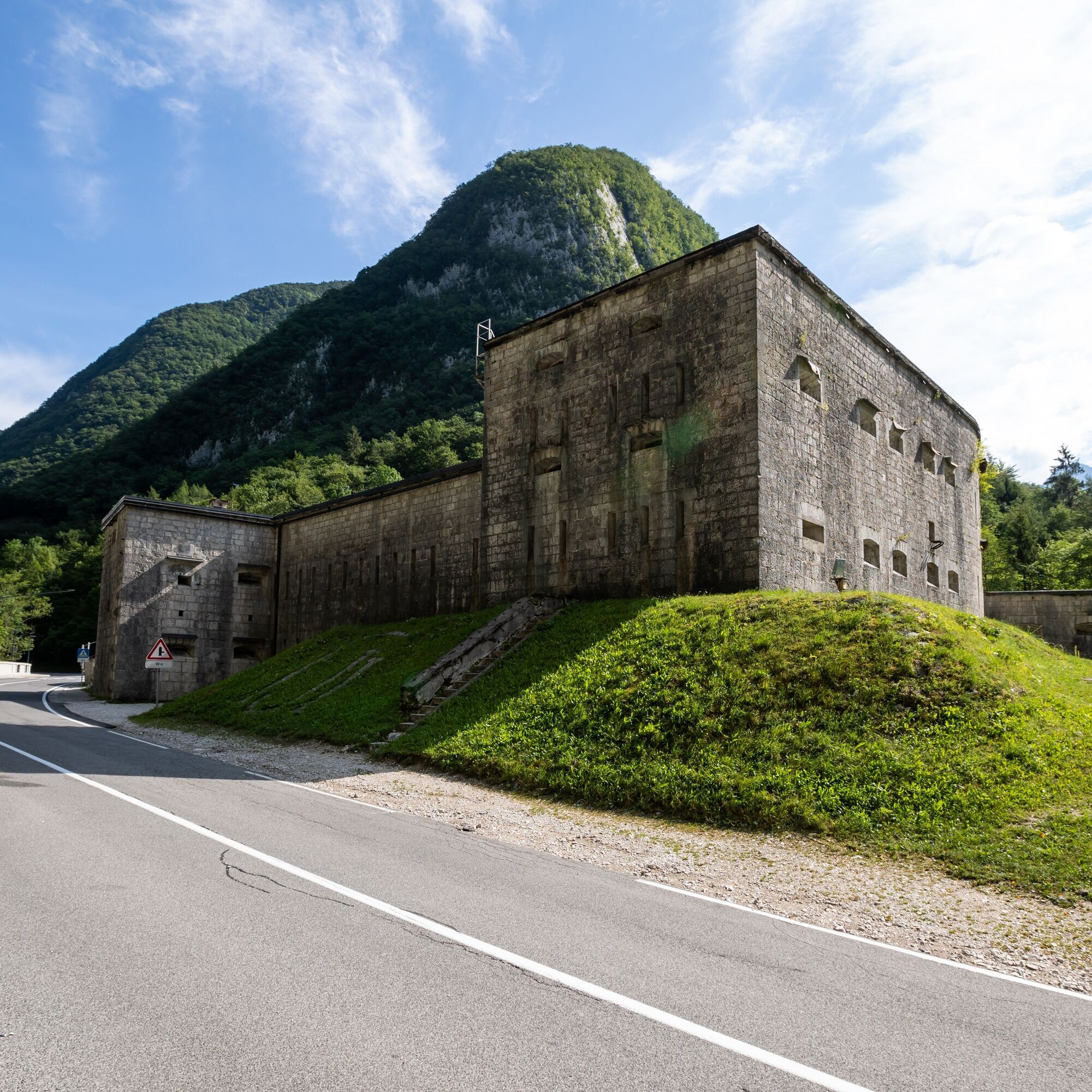
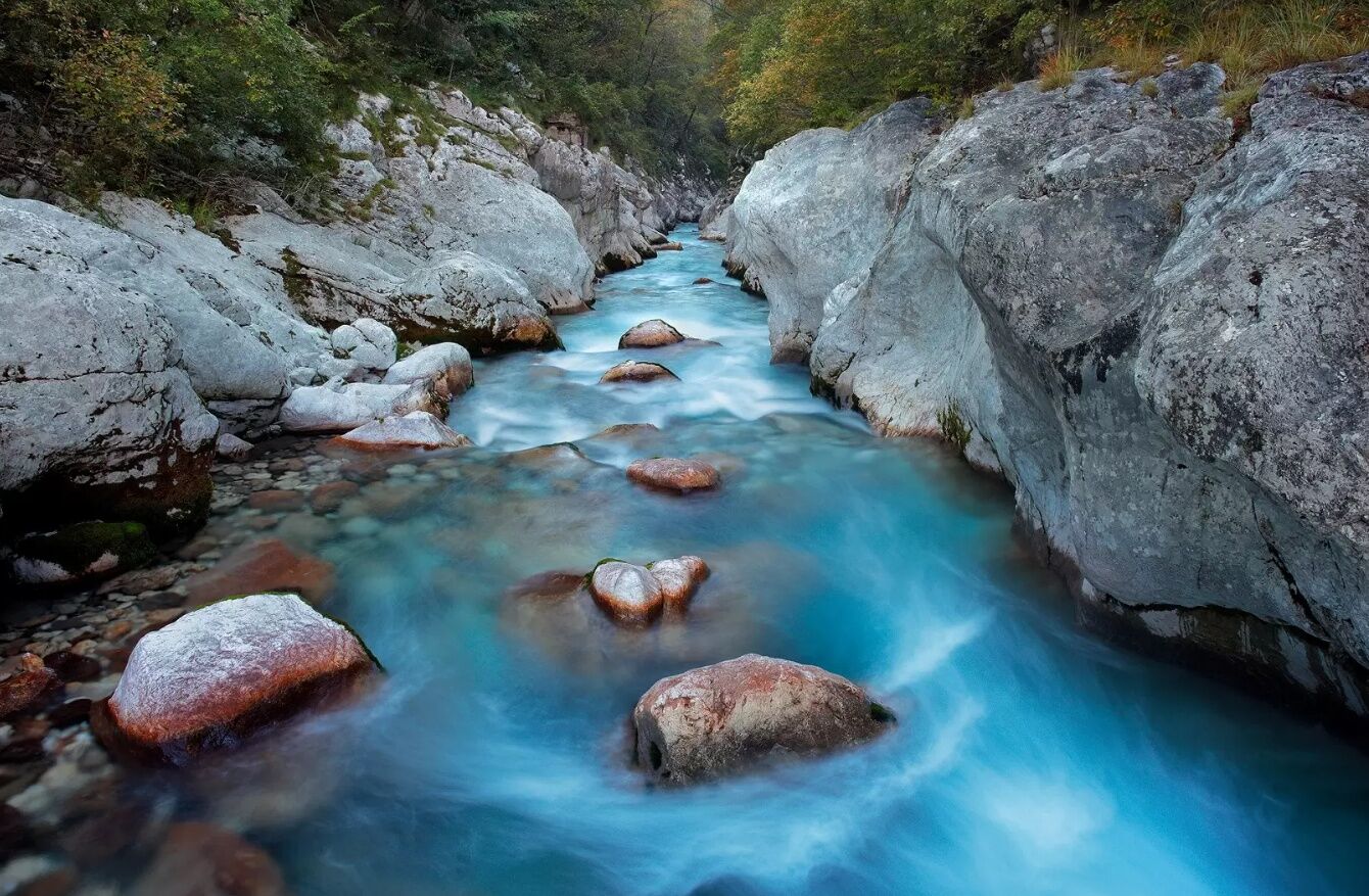
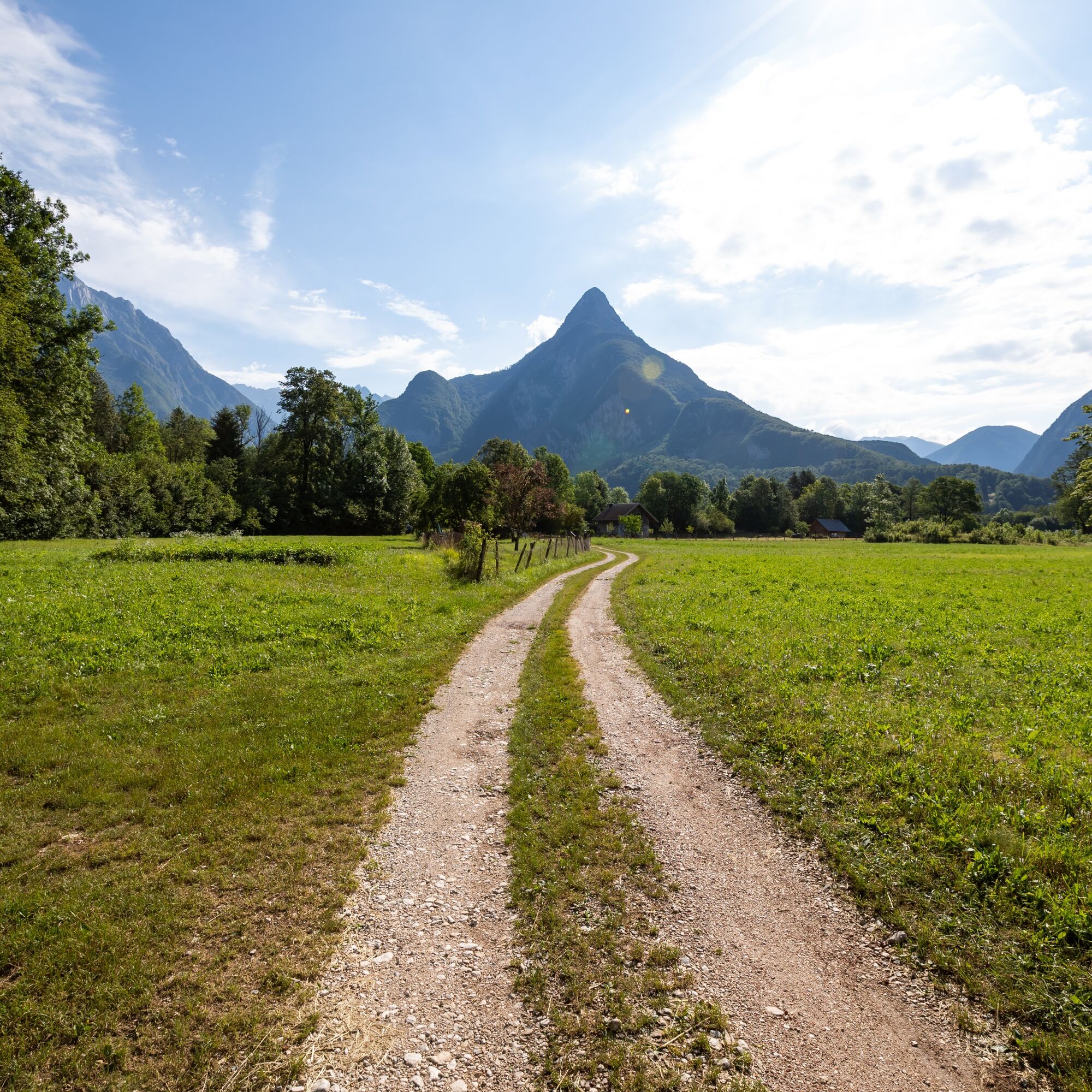
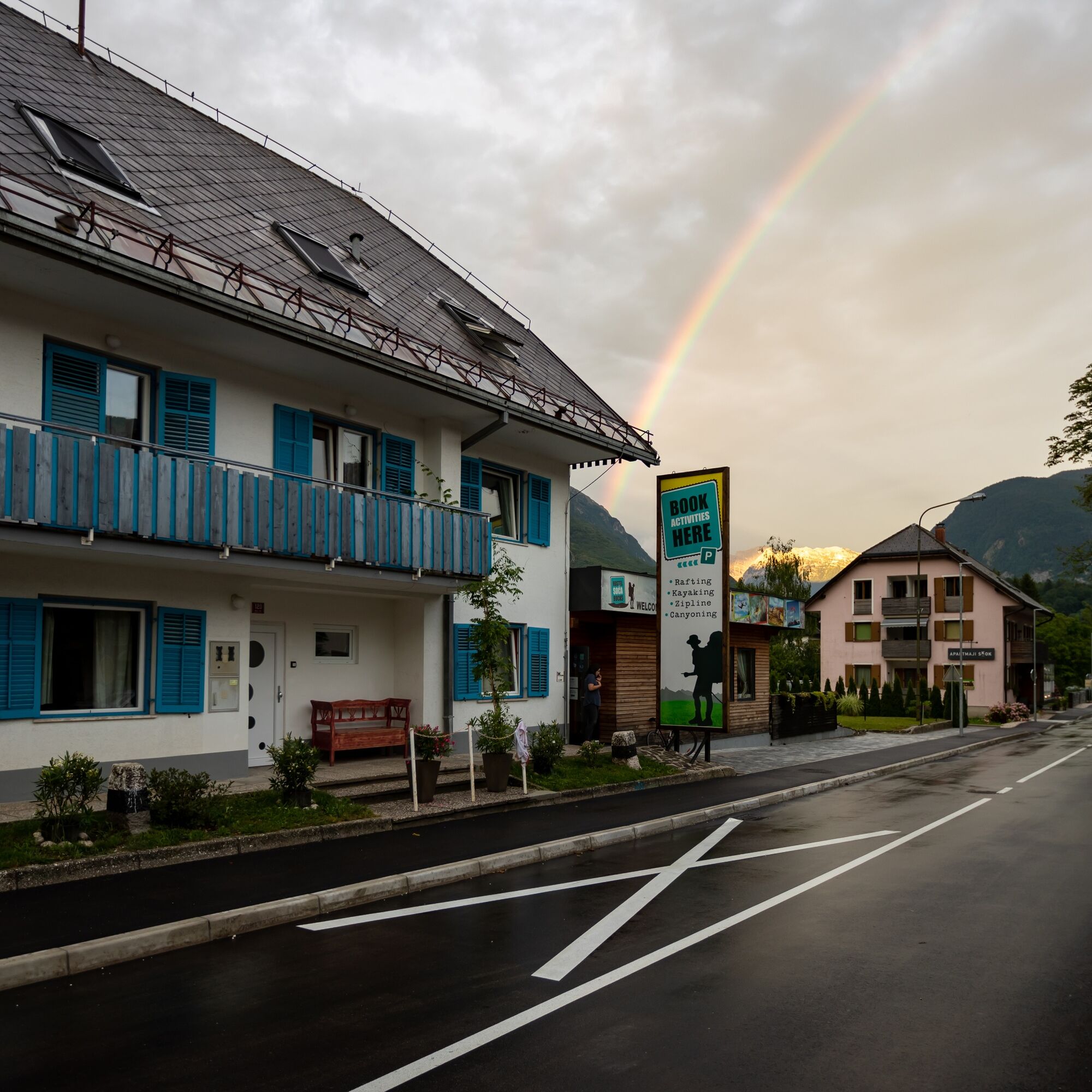
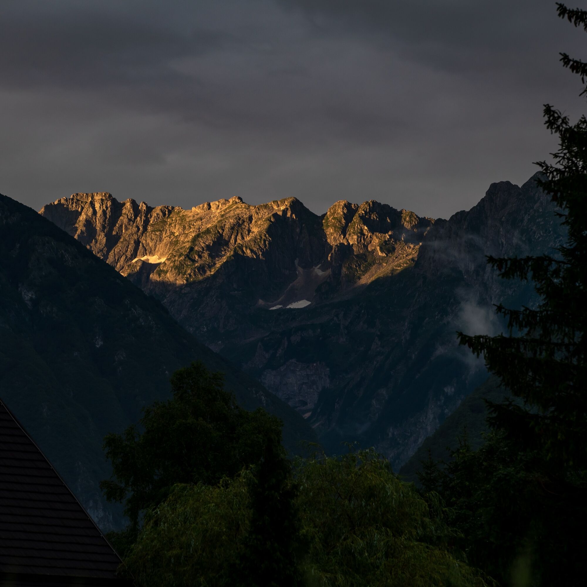
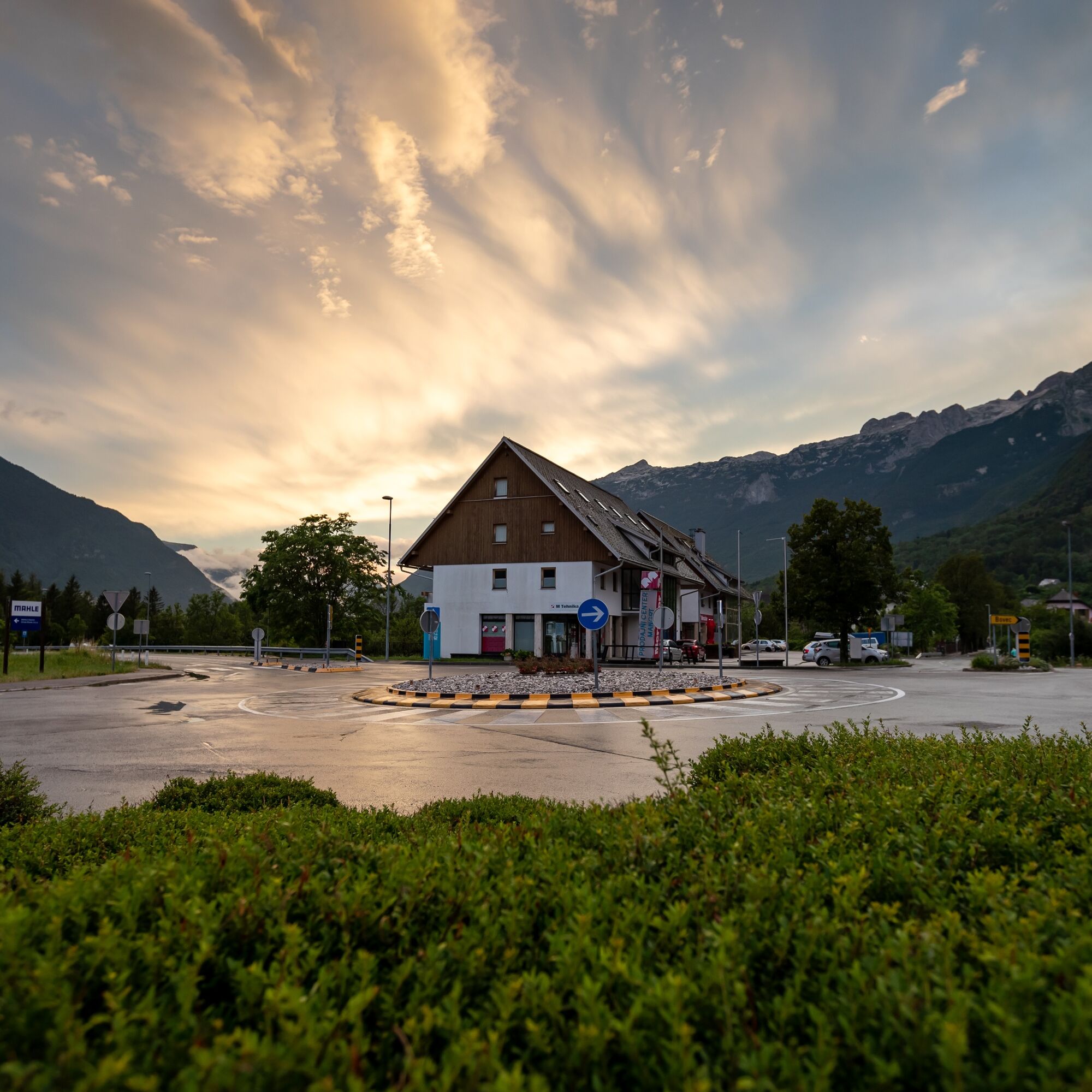
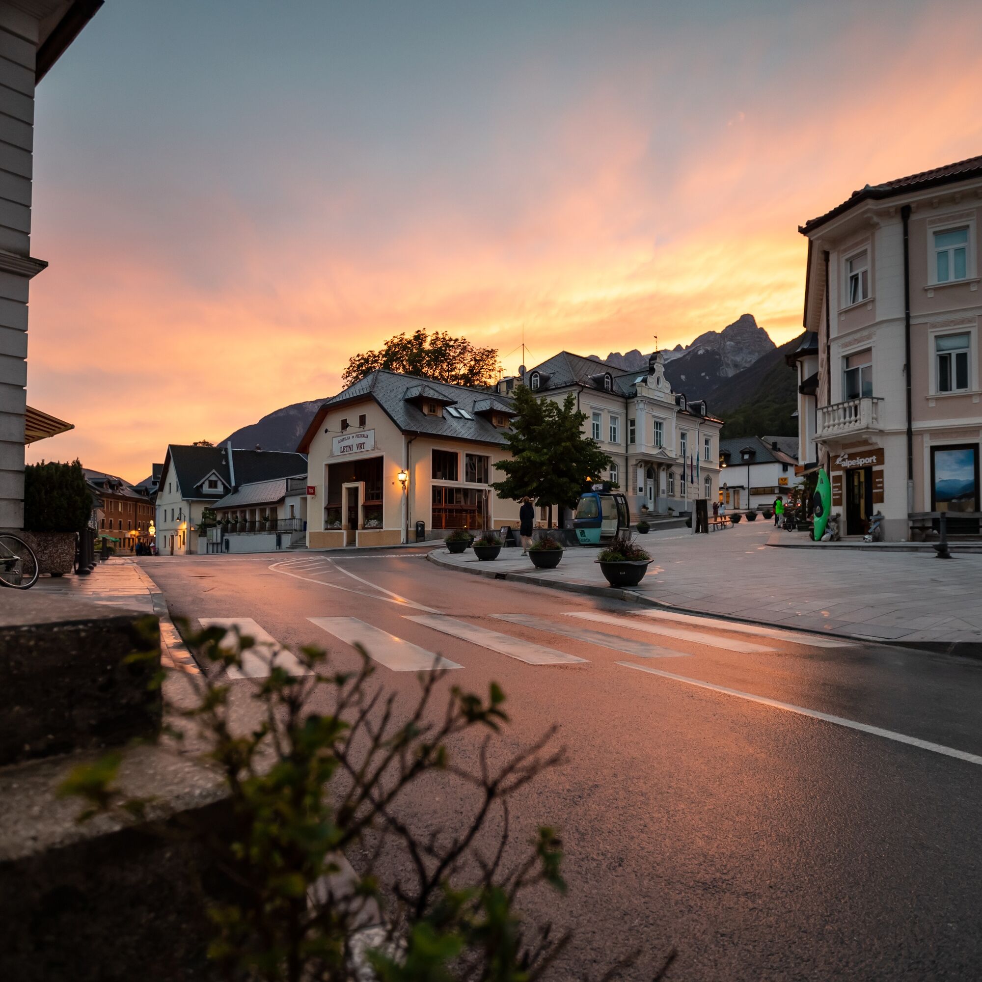
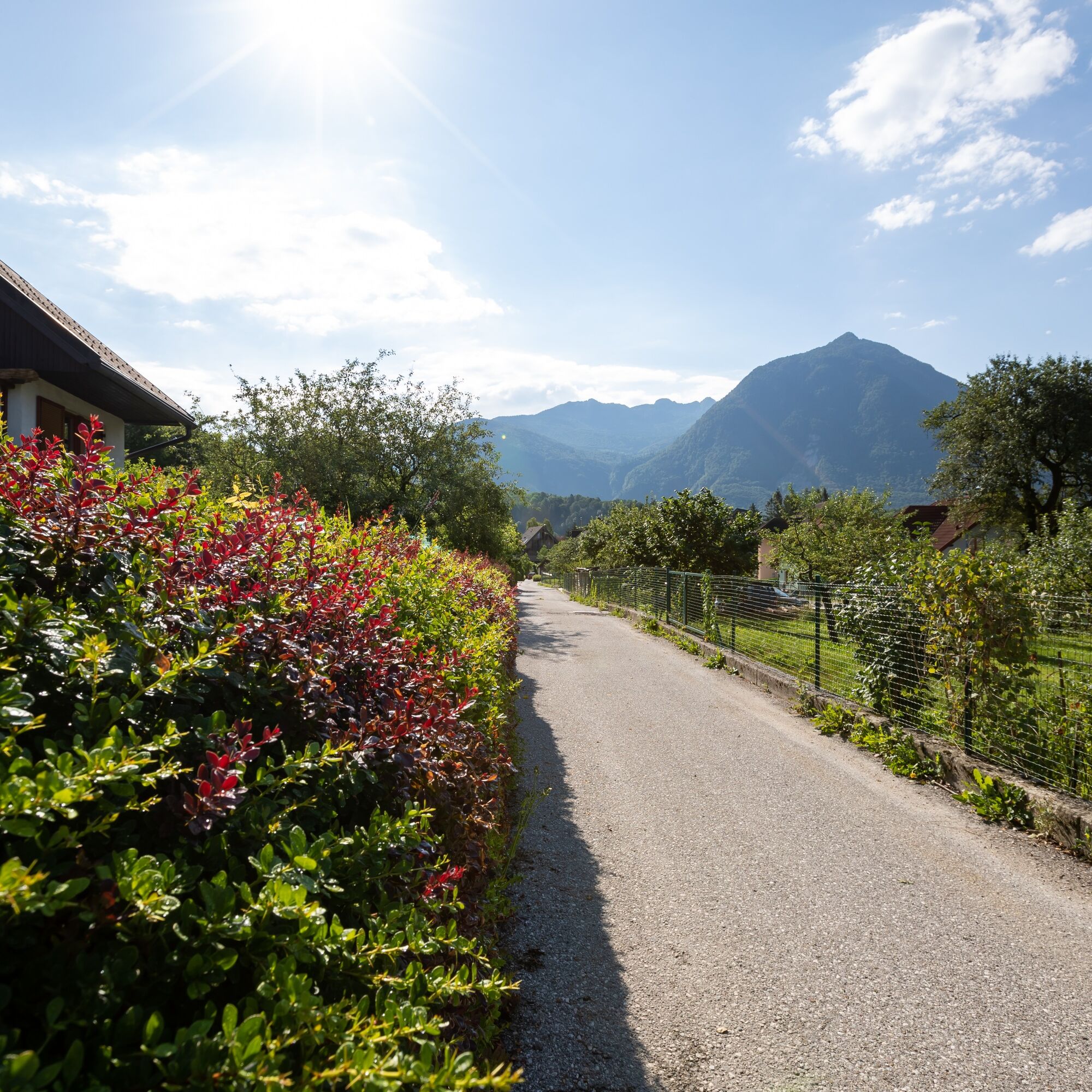
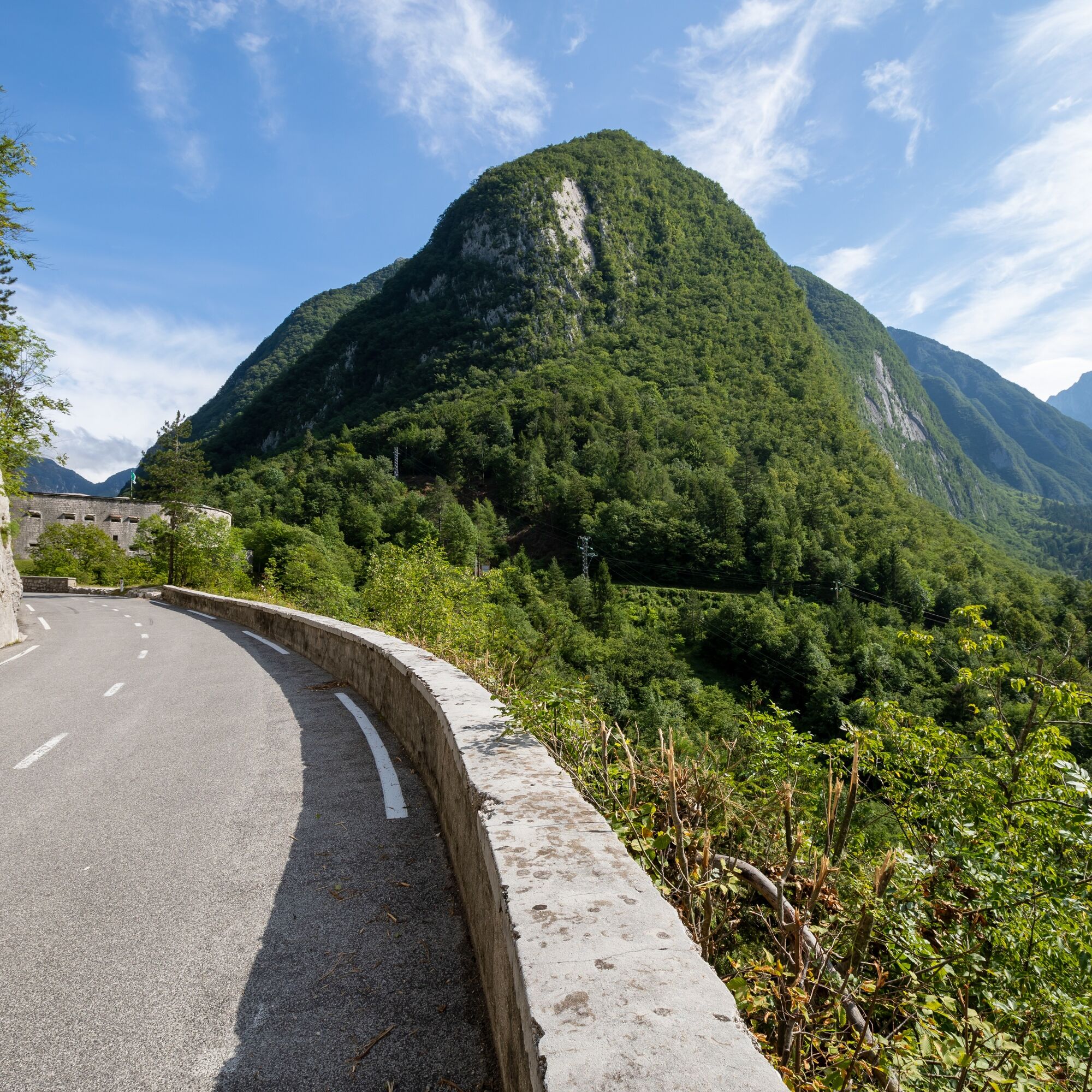
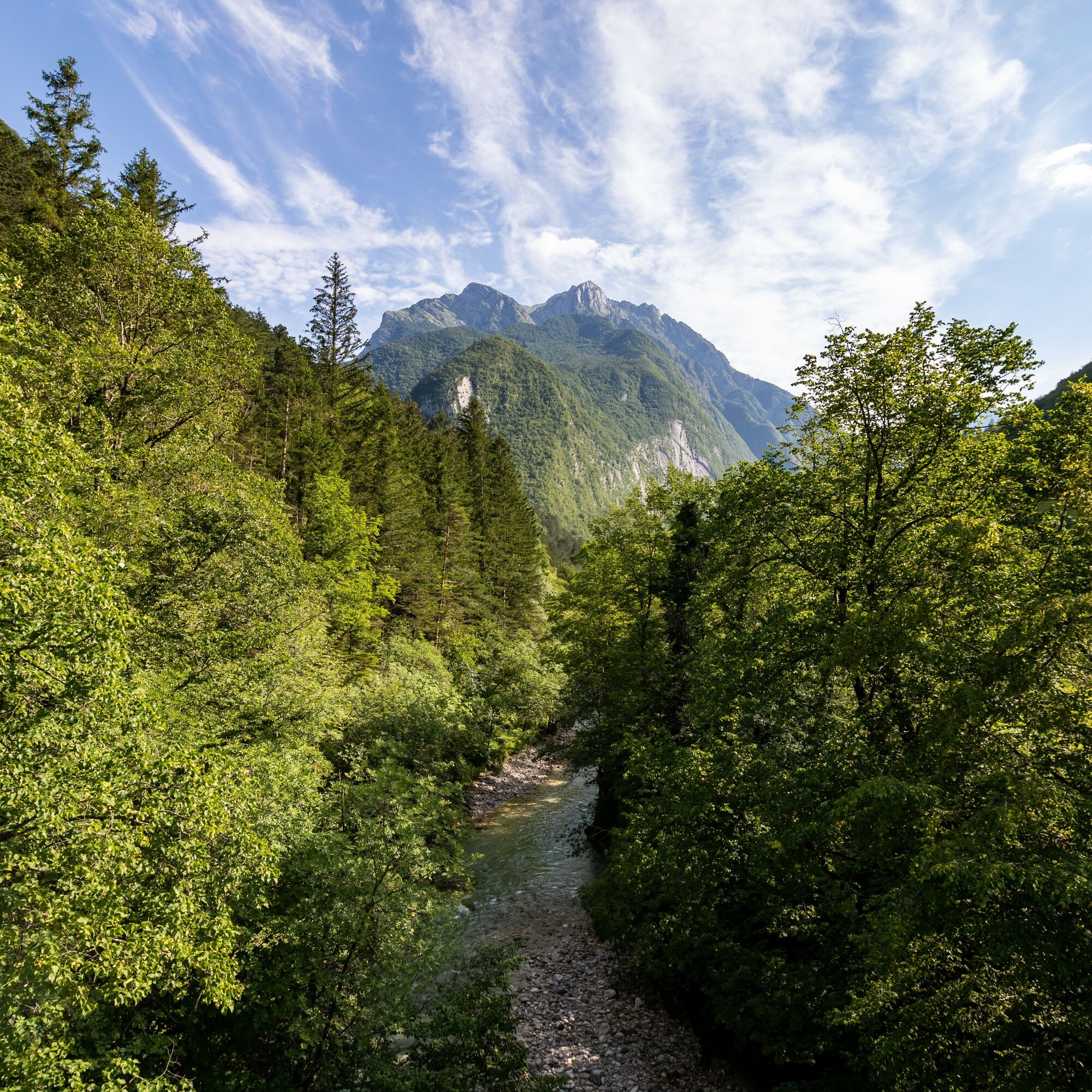
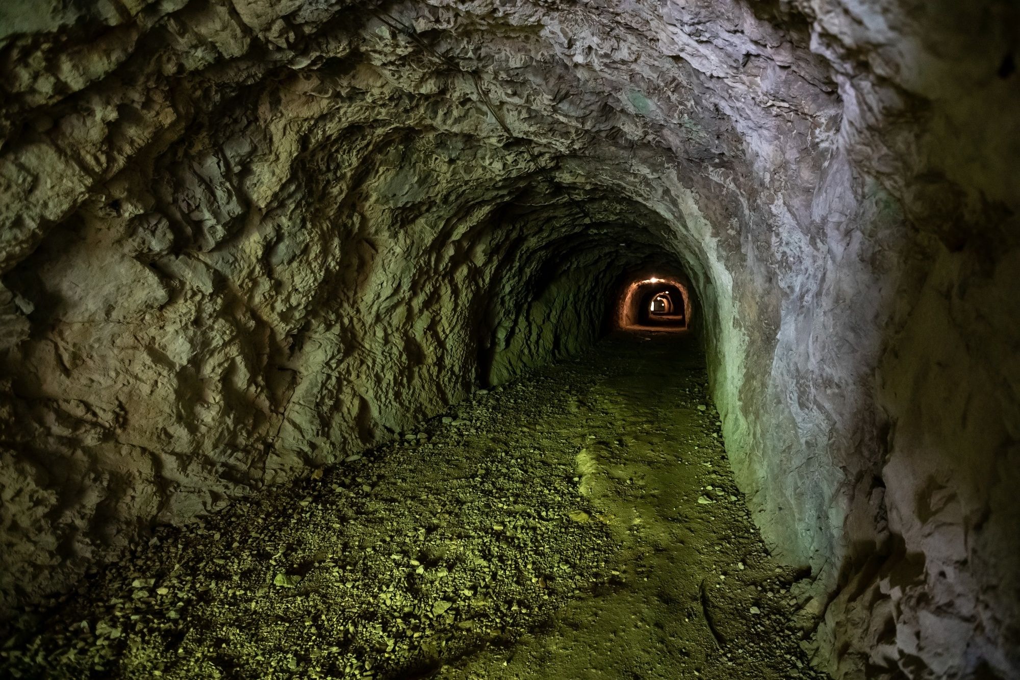
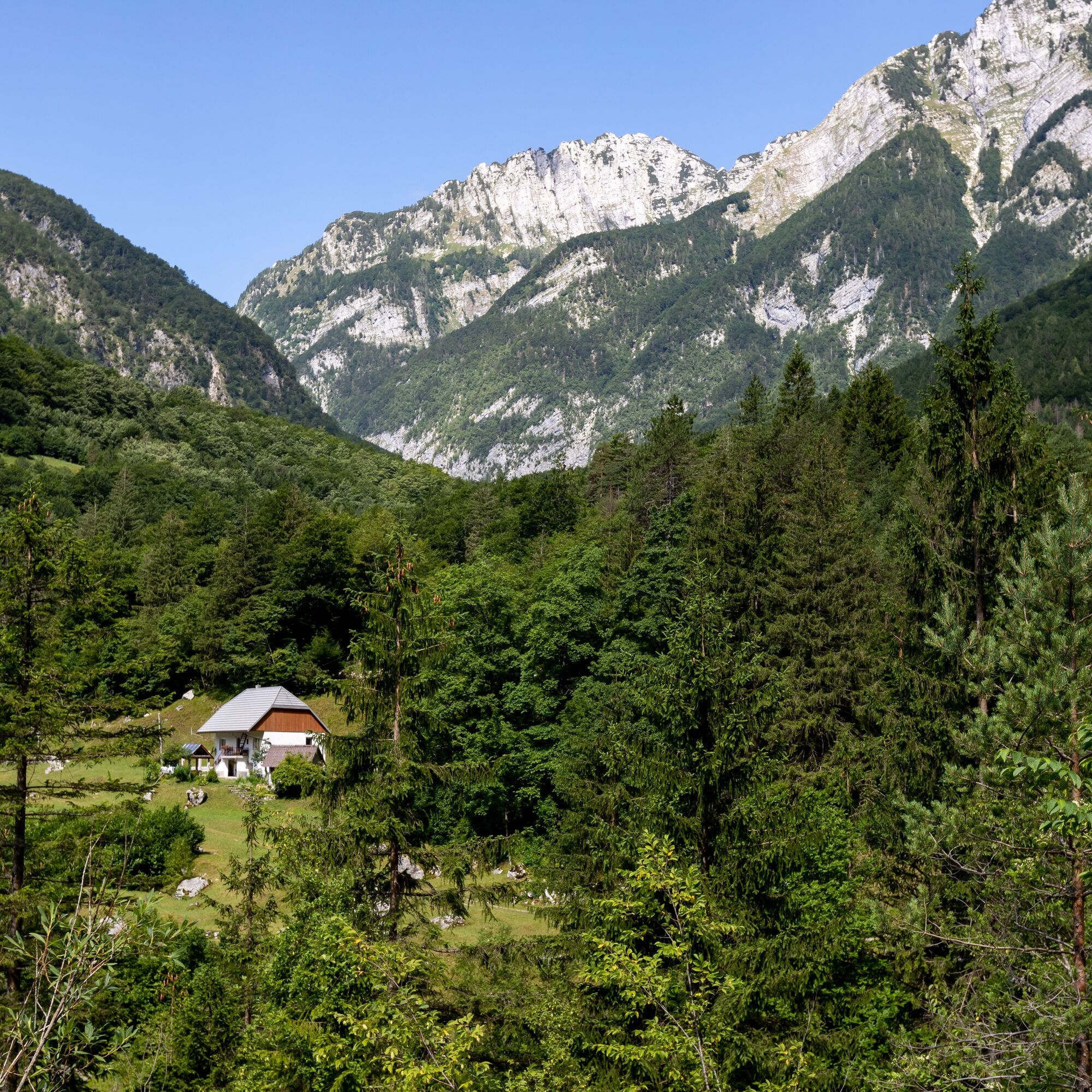
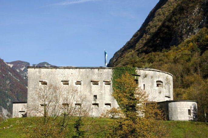
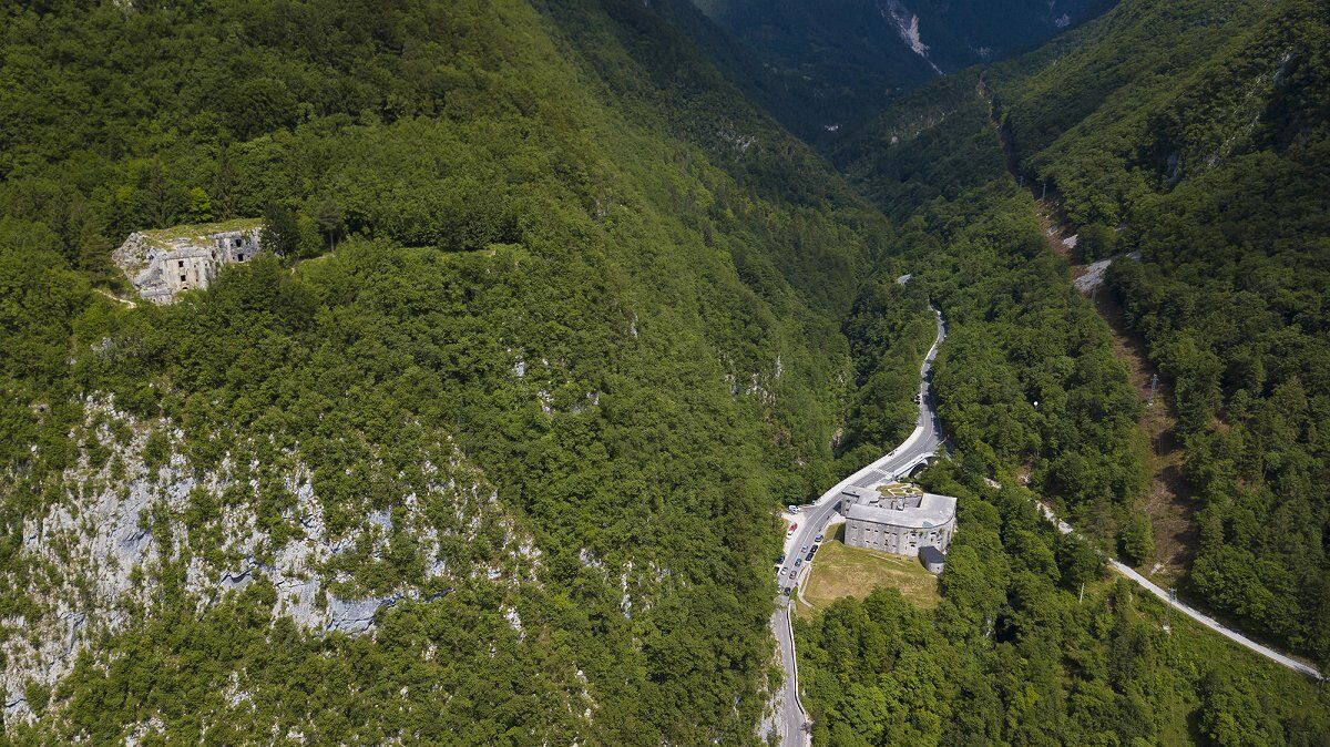
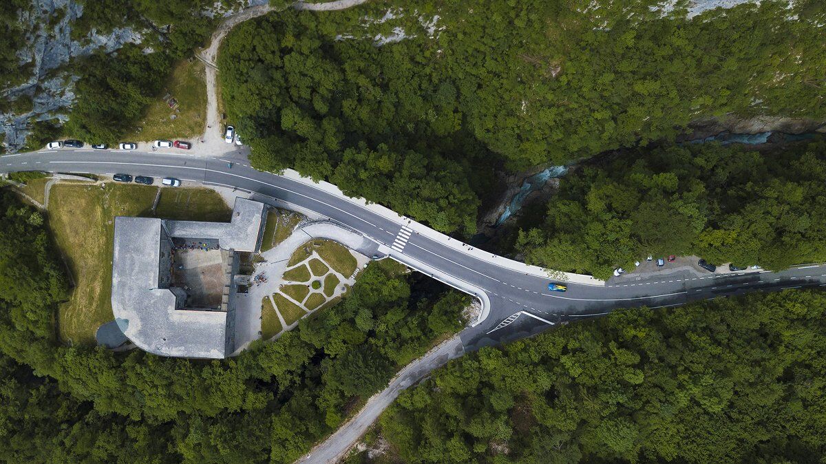

From Bovec we walk along the historic path past the picturesque Kluže Fortress through the Možnica Valley to Log.
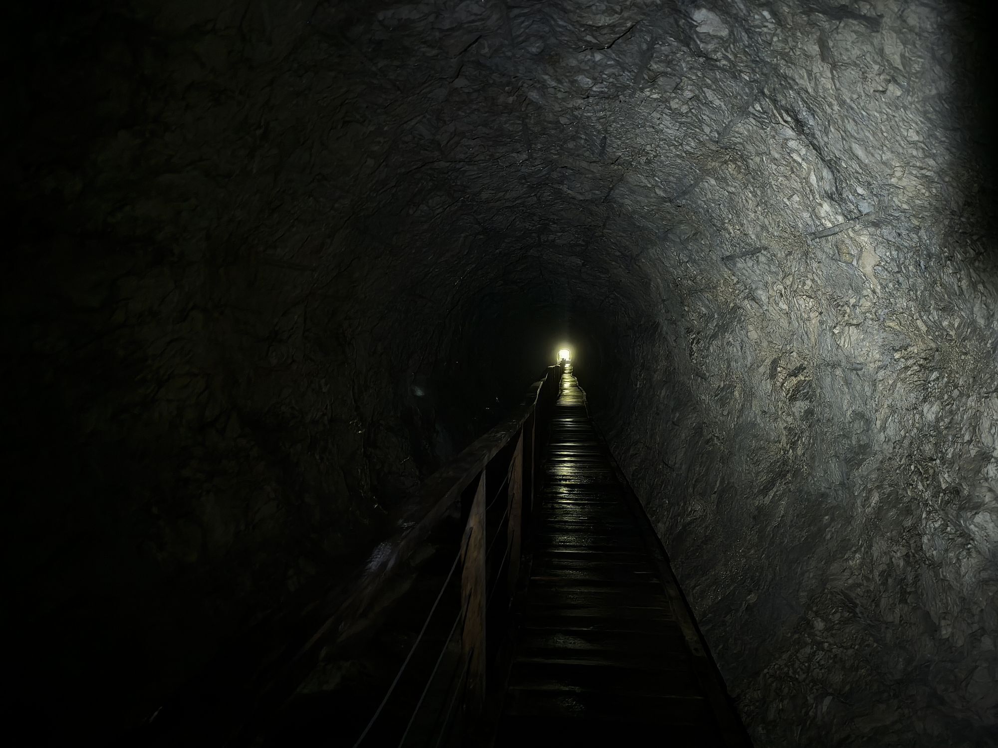
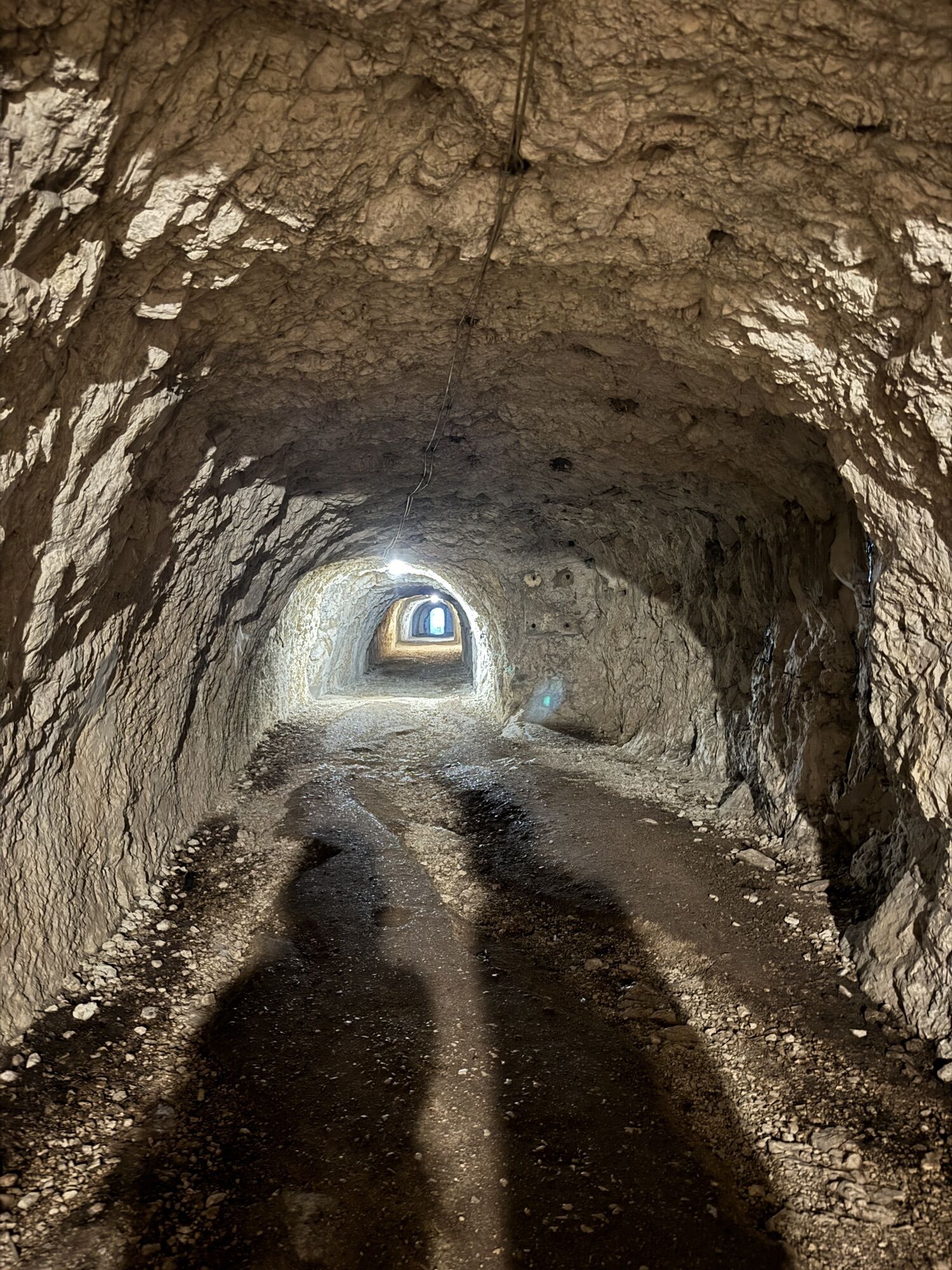
Then we continue through Mala vas and further across the meadows below Rombon. Across the main road we descend to the Koritnica River and continue to the Kluže Fortress. There is a path opposite the fortress which runs to the upper Fort Hermann fortress through the entry tunnel. There is a path on the other side of the lighted tunnel, descending left downhill towards Koritnica River. We continue to the gorge of NemÄlja gorge. We continue above the gorge upwards to the bridge that takes us to the other side and further on to the forest road to Možnica Valley. We return along this road to the main road and along the unpaved road back to Log.
Tak
Hiking equipment suitable for the season.
The ascent along the path above the gorge of NemÄlja towards Možnica (approx. 30 minutes) is partially exposed and insufficiently secured; in wet and icy conditions, special caution is necessary.
In winter (December to March), the trail below Rombon is exposed to landslides and impassable.
Regional road:
Kranjska Gora – VršiÄ – Bovec
Kranjska Gora – Tarvisio (Italy) – Predel – Log pod Mangartom – Bovec
Tolmin – Kobarid – Bovec – Log pod Mangartom
Bus:
Ljubljana – Kranjska Gora – VršiÄ – Bovec
Nova Gorica – Tolmin – Kobarid – Bovec
Car parks in Bovec.
Car park before Log pod Mangartom near the Koritnica River.
Hint by Triglav National Park: The Koritnica Gorge
The Koritnica is a vibrant alpine river that, together with its tributaries, collects water from four valleys: Loška Koritnica, Predelica, Možnica and Bavšica. The high relative altitude difference between the mountain peaks and the valley floor increases the erosive power of the water after heavy rains. In the area of the Kluže Fortress, water has been carving, since prehistoric times, the deepest river gorge in Slovenia, which reaches a depth of more than 70m. On the stretch of the Juliana Trail between Log pod Mangrtom and Bovec, hikers will enjoy spectacular views of the ‘strait’ at Kluže.
The ancient, strategically important Kluže passage would never come to existence had it not been for the stubborn and persistent Koritnica River, which has been chiselling, abrading and taking away millennia-old bedrock of the Julian Alps. In Triglav National Park, the Kortinica is not used for recreation activities, and in the Kluže area, it is protected as a natural monument. This majestic work of nature is best observed from the river shore. Be respectful and act as an attentive and careful visitor who leaves nothing but his footprints behind. Downstream from Kluže, the Koritnica attracts small rafts, kayaks and canoes, as well as catch & release fishermen.
Log pod Mangartom is also known as the valley of waterfalls. Since the stage is short, we can enjoy in visiting other sights – Fratarica, a nearby and easily accessible gorge, full of beautiful waterfalls and river pools. It is located opposite the village, i.e. on the other side of the Koritnica River.

 Uzyskaj wgląd
Zawsze na żywo z ponad 9 500 kamer internetowych. bergfex Jako użytkownik Pro, możesz teraz zobaczyć odpowiednie kamery internetowe dla wielu wycieczek w aplikacji wycieczki od. Pozwala to na bezpośredni podgląd aktualnych warunków.
Uzyskaj wgląd
Zawsze na żywo z ponad 9 500 kamer internetowych. bergfex Jako użytkownik Pro, możesz teraz zobaczyć odpowiednie kamery internetowe dla wielu wycieczek w aplikacji wycieczki od. Pozwala to na bezpośredni podgląd aktualnych warunków.

Popularne wycieczki w okolicy
-
4,7
Jeziora Fusine
światłoWędrówka 5,43 km -
4,6
Kozjak Wasserfall und Soča
światłoWędrówka 5,18 km -
4,5
Monte Lussari
średniWycieczka narciarska 10,7 km -
4,4
Monte Lussari über den alten Pilgerweg
średniWędrówka 6,43 km -
4,4
Cima di Terra Rossa
Wędrówka 4,90 km -
4,2
Zacchi Wanderung Rundweg
światłoWędrówka 8,85 km -
4,7
Weißenfelser Seen: Fusine in Valromana - Ai Sette Nani - Seealm
średniWędrówka 10,3 km -
4,2
Monte Santo di Lussari, Skitour, Pilgerweg
średniWycieczka narciarska 9,35 km -
4,3
Grande Ponza
Via ferrata 9 km -
4,1
Jof di Miezegnot 2087m (Malborgether Mittagskofel)
Wędrówka 9,90 km
Wędrówki i tropienie


Nie przegap ofert i inspiracji na następne wakacje
Twój adres e-mail została dodana do listy mailingowej.





