






UTVV EMPEROR - 160 km
Poziom trudności: T2
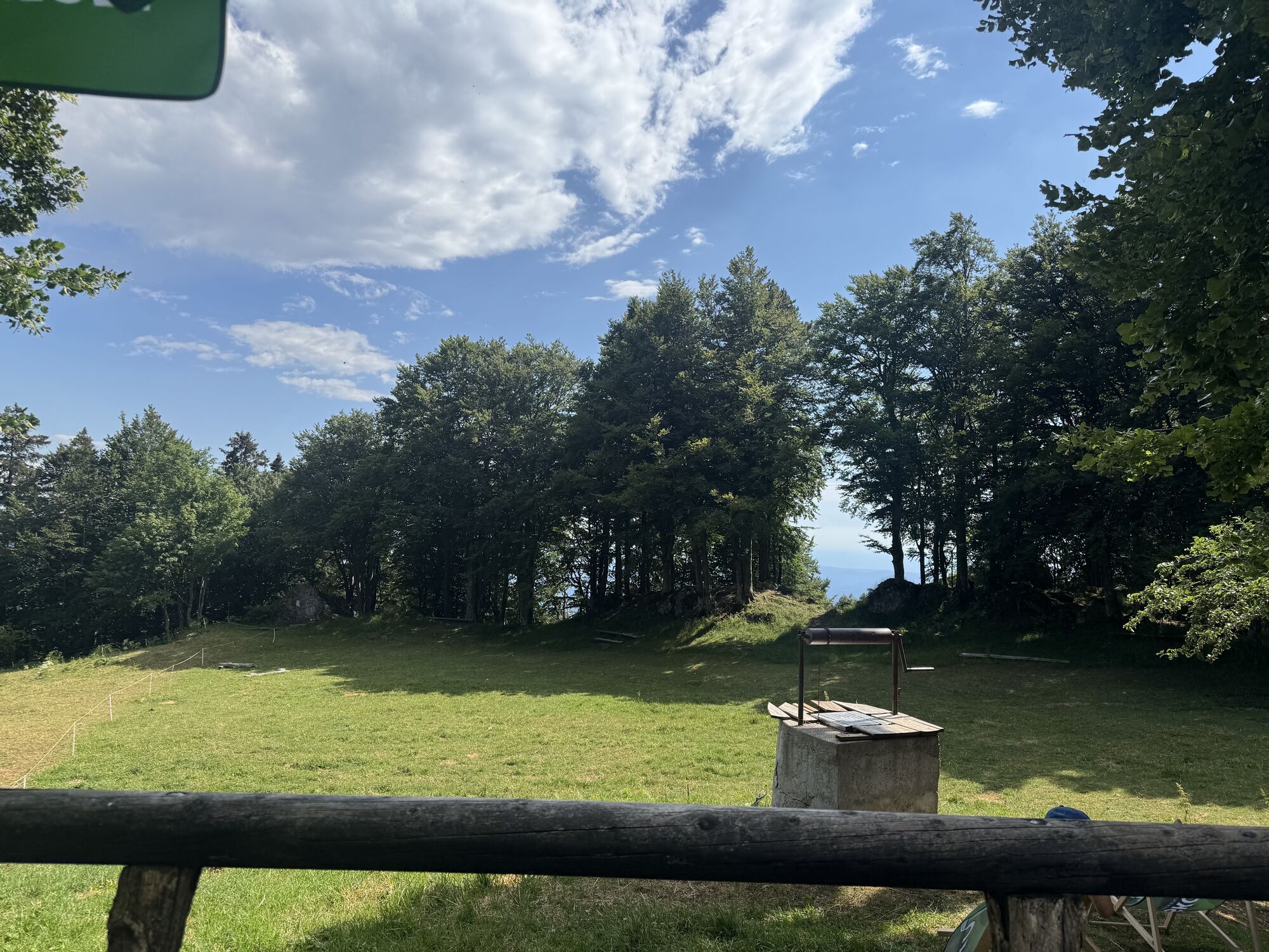
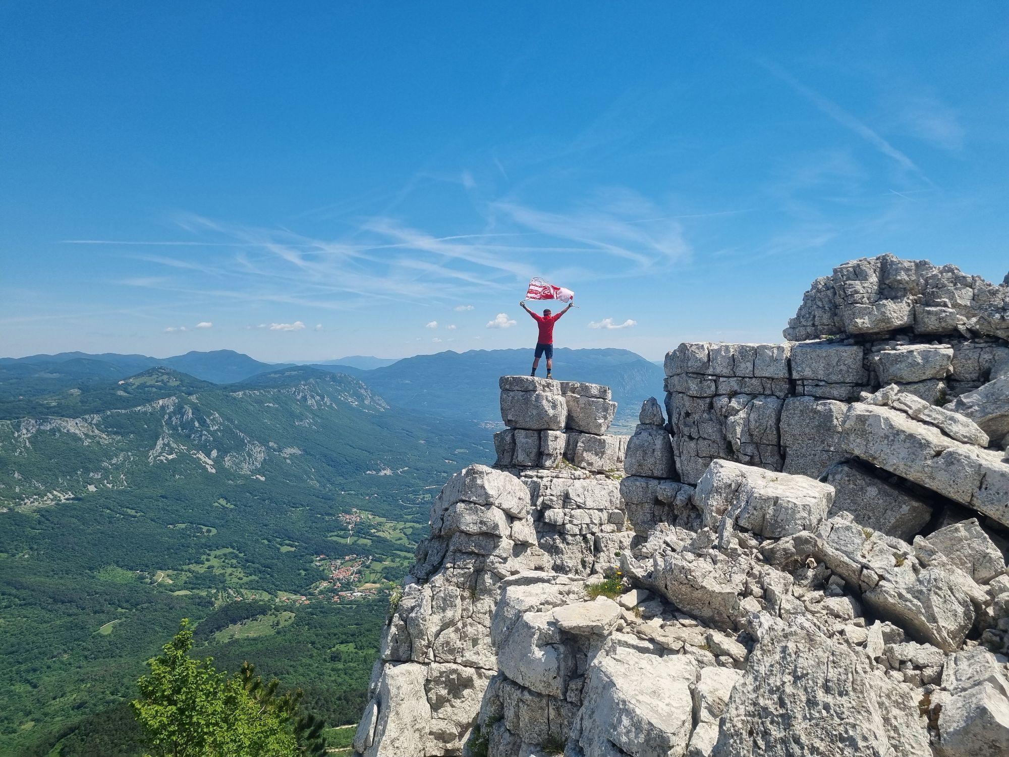
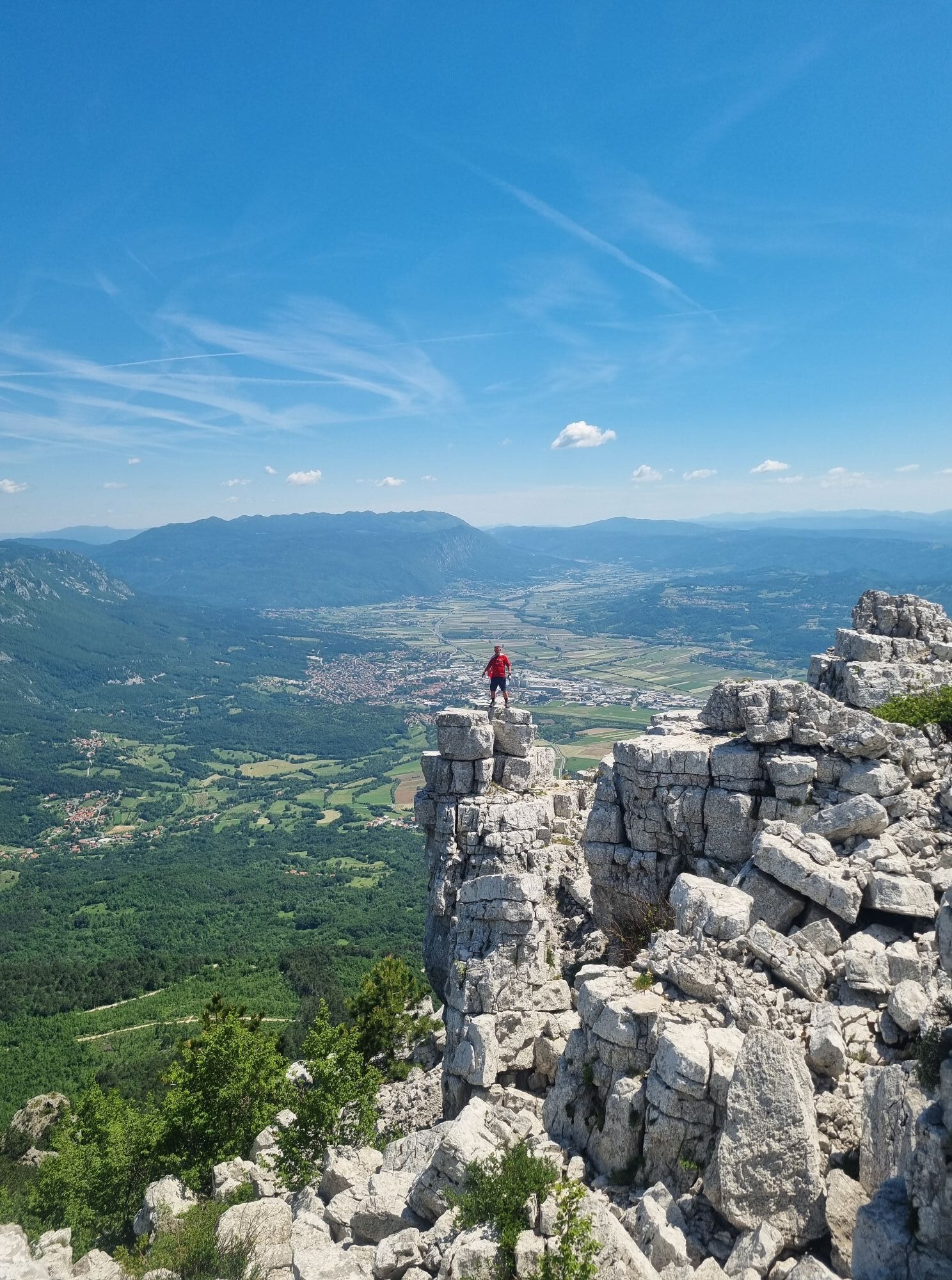
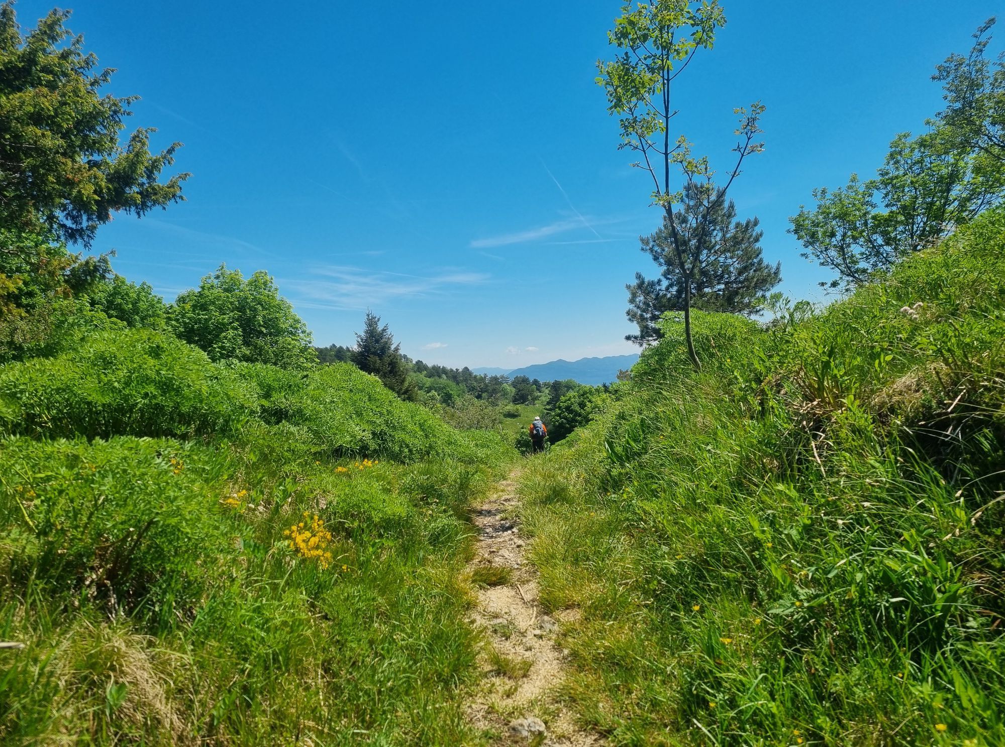
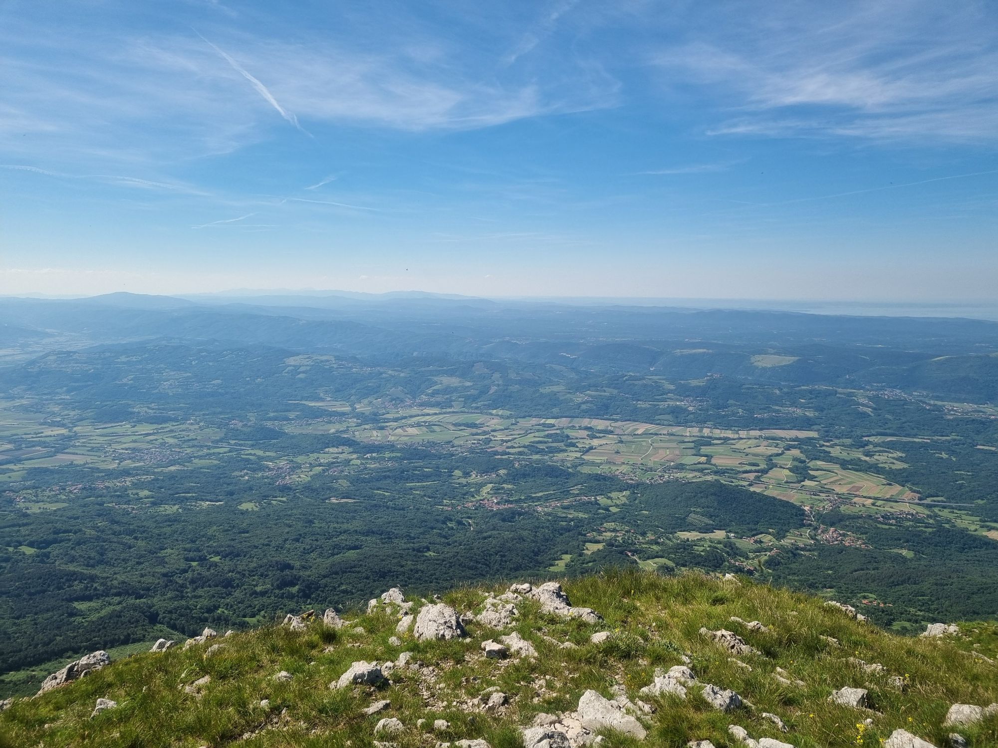
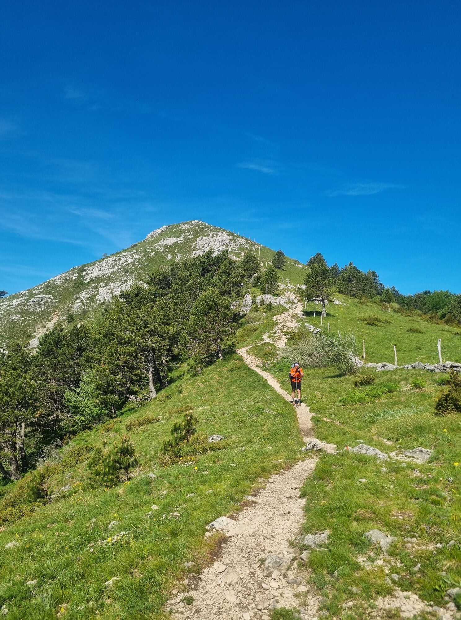
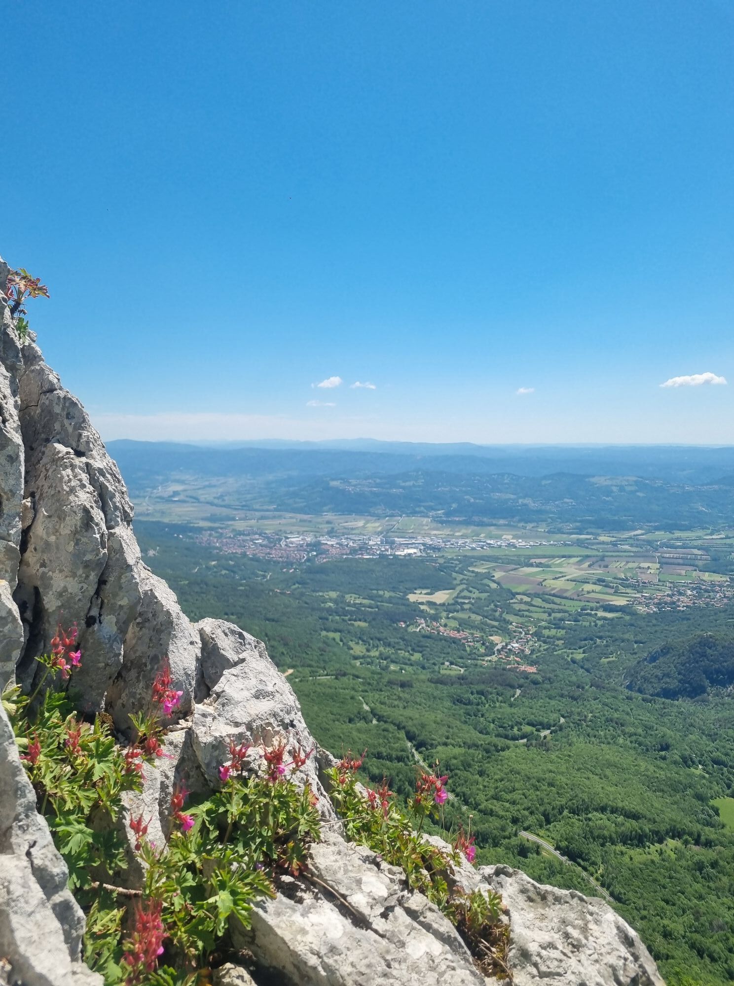
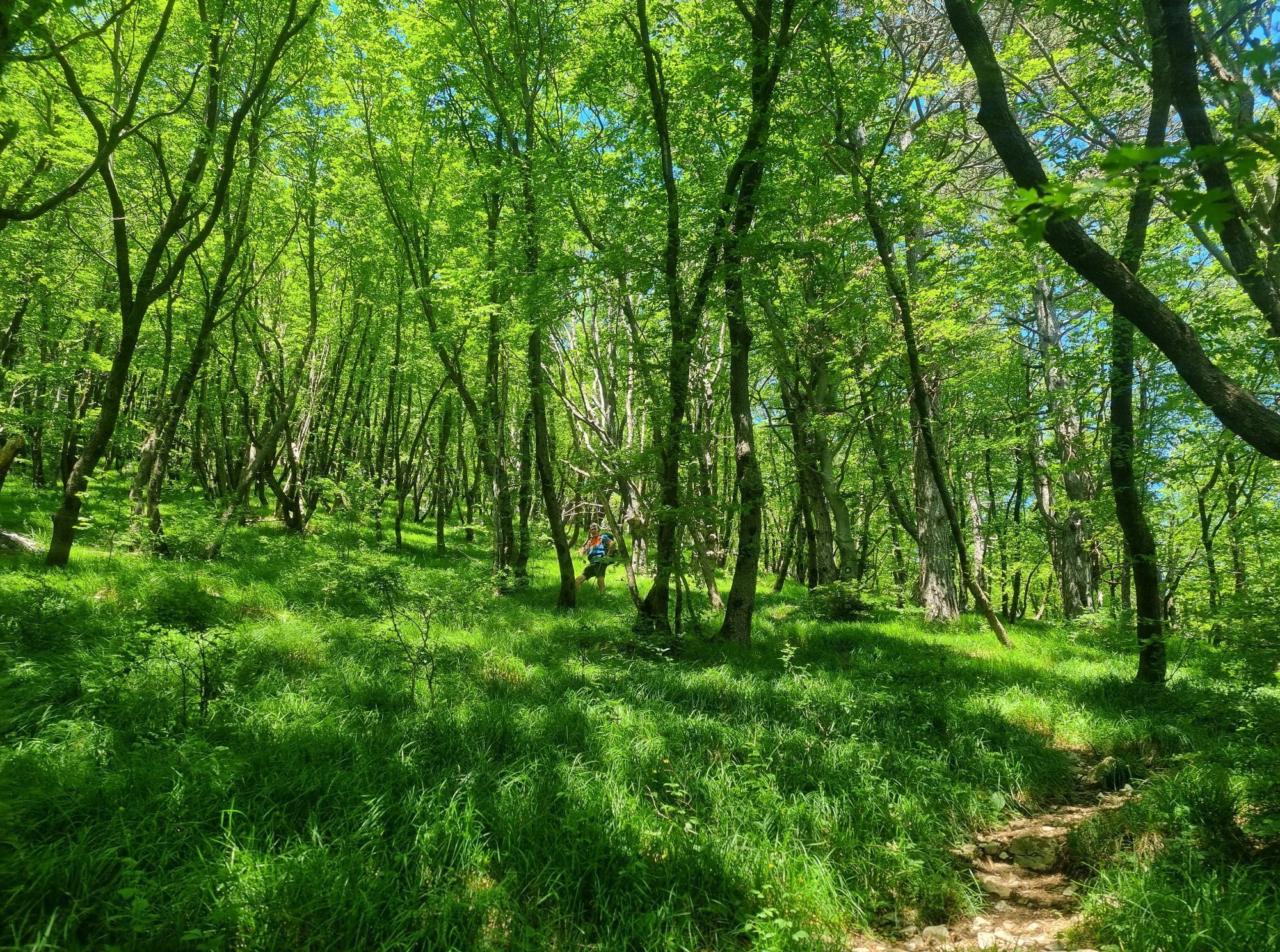
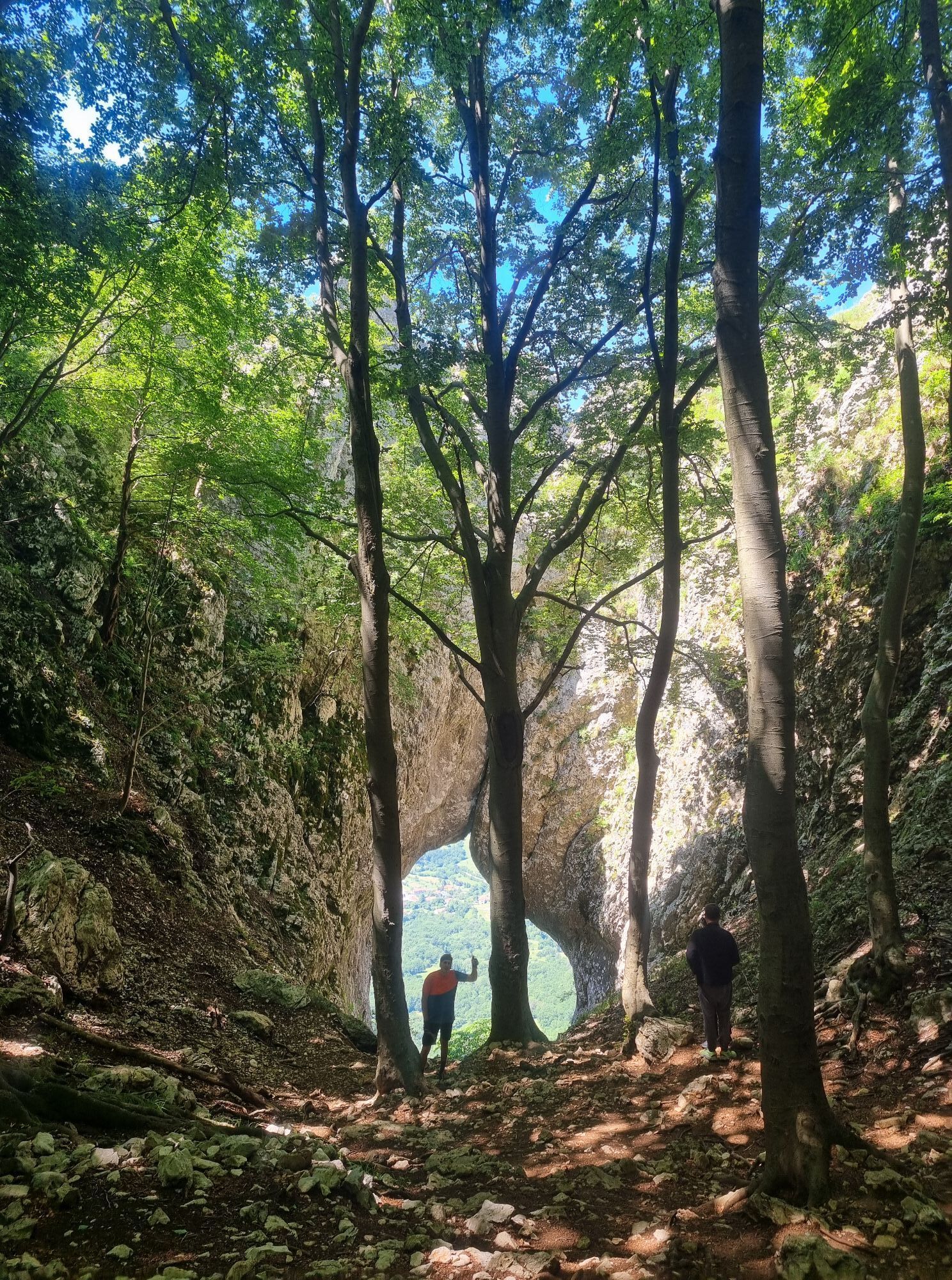
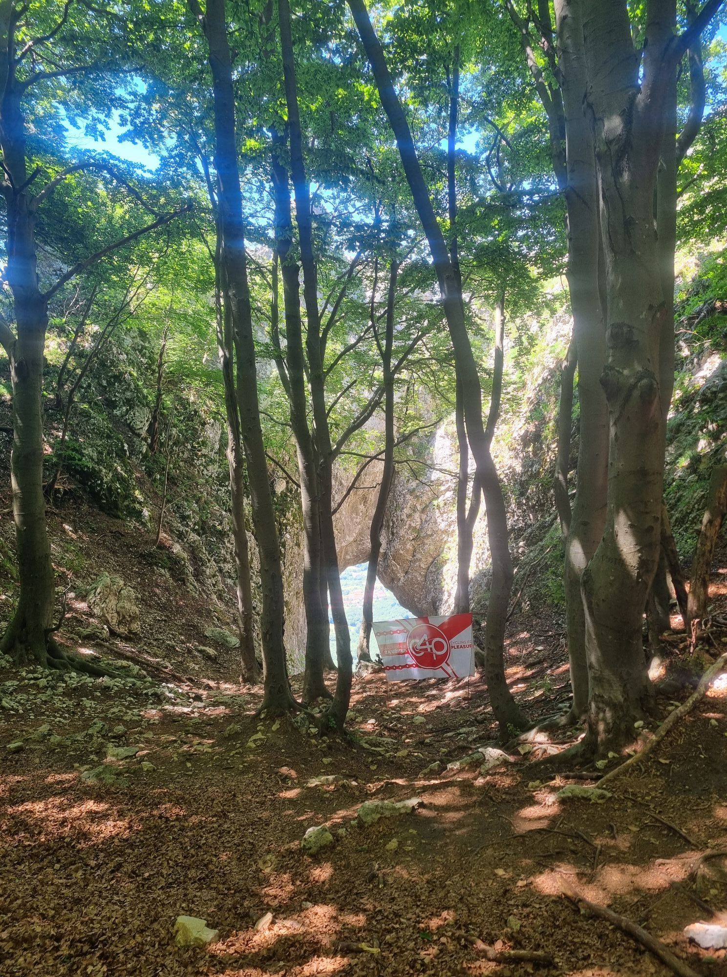
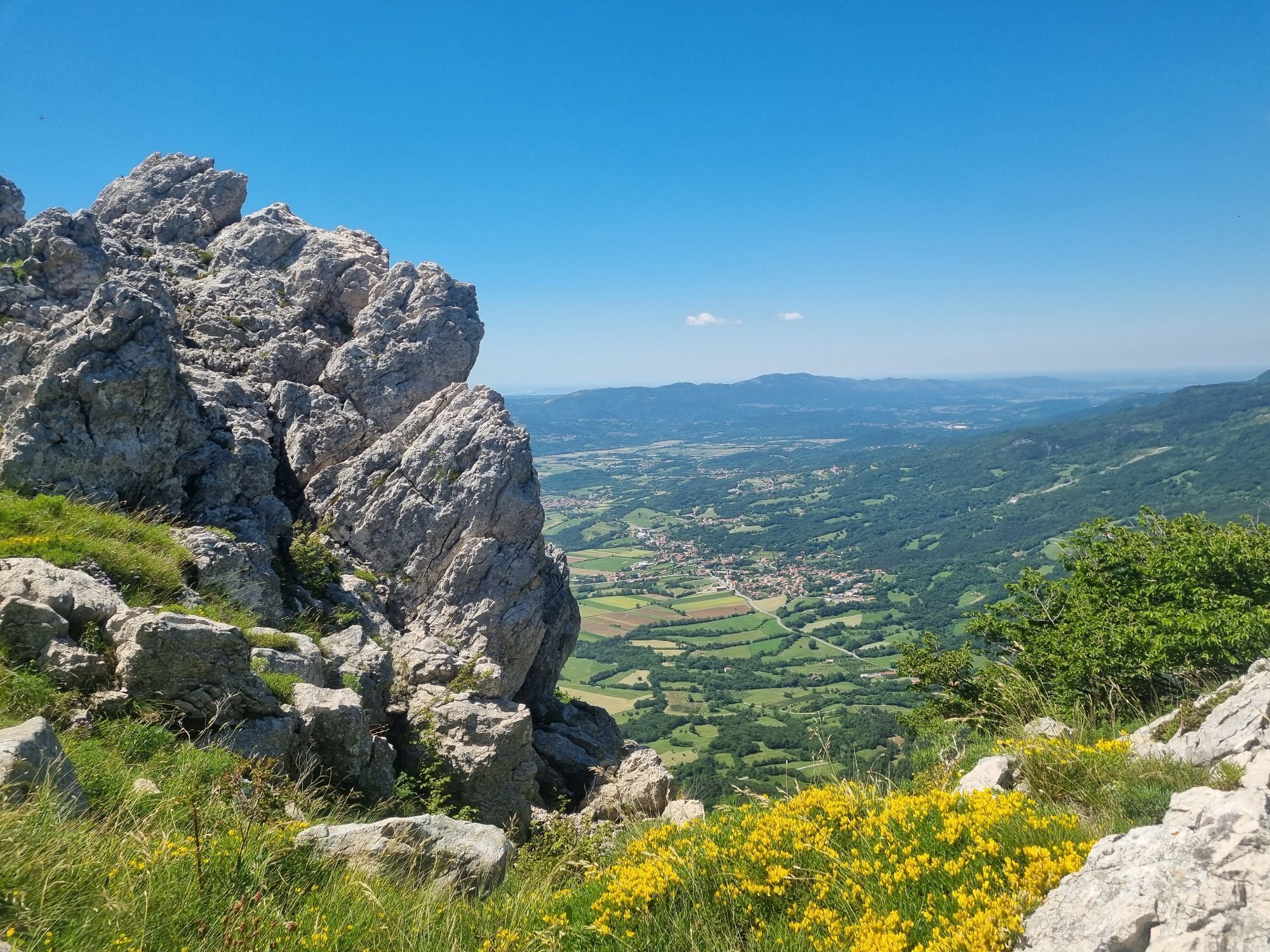
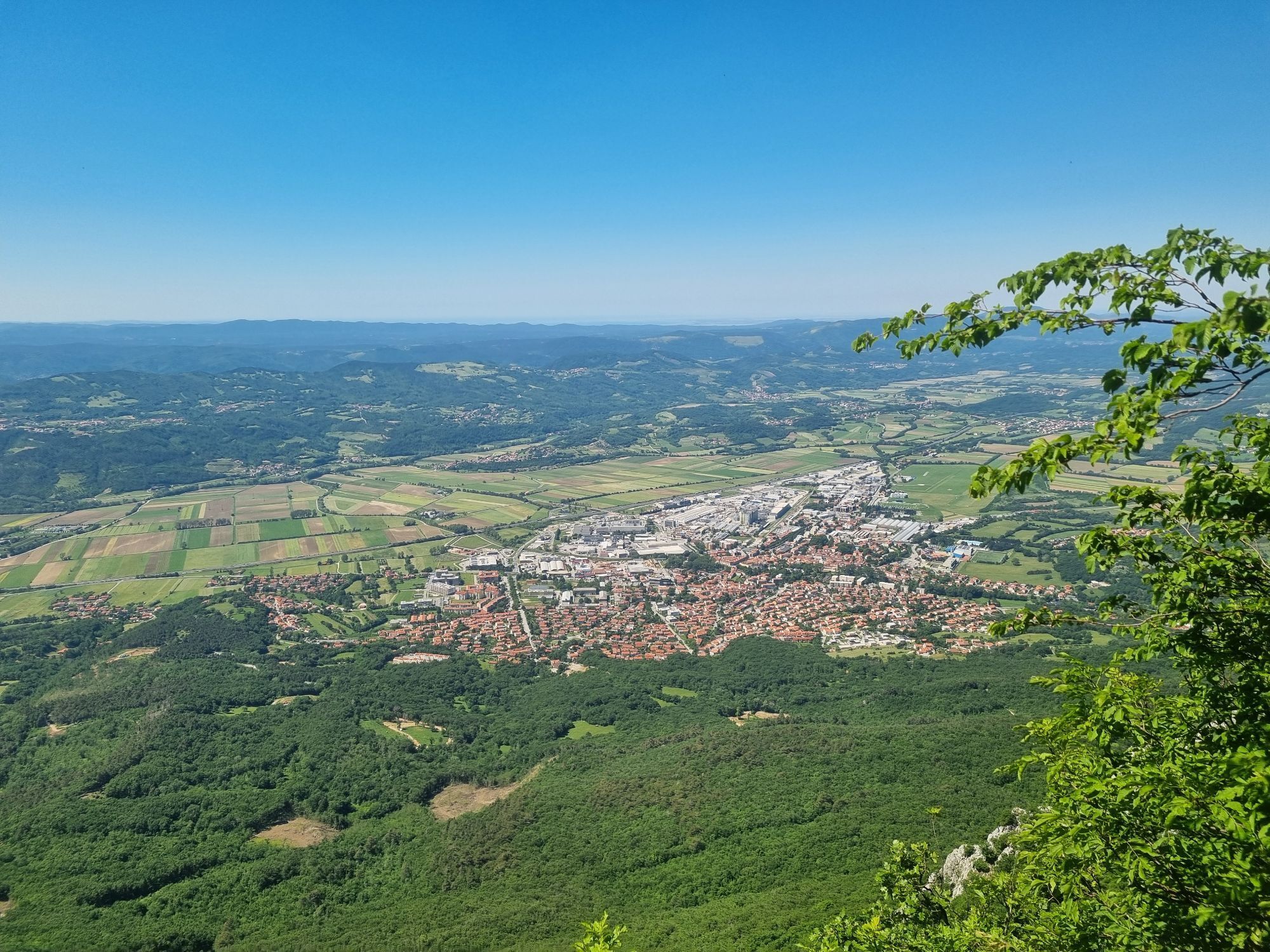
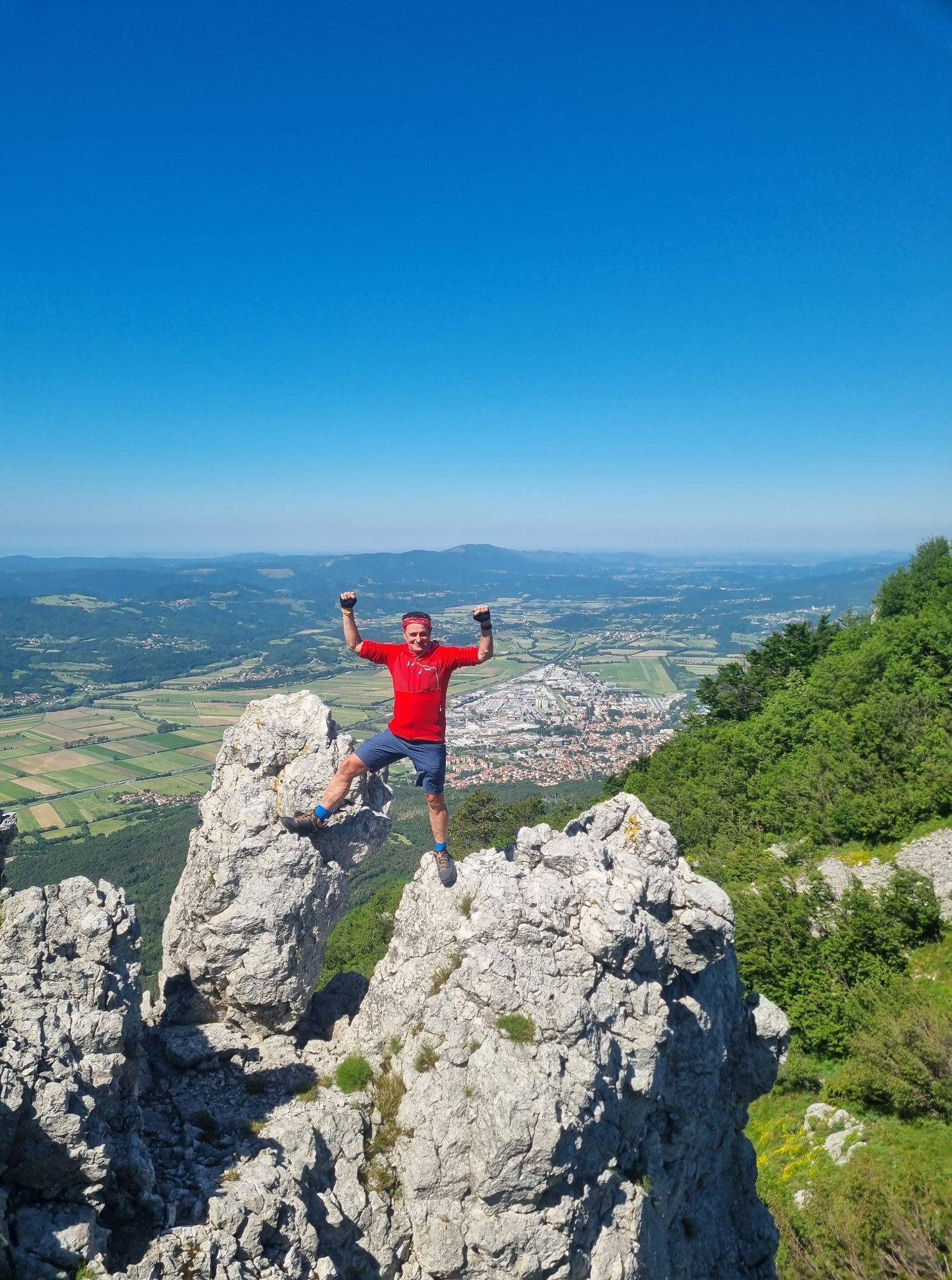
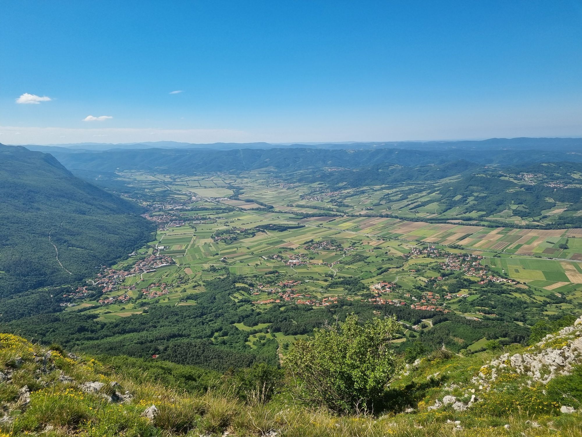
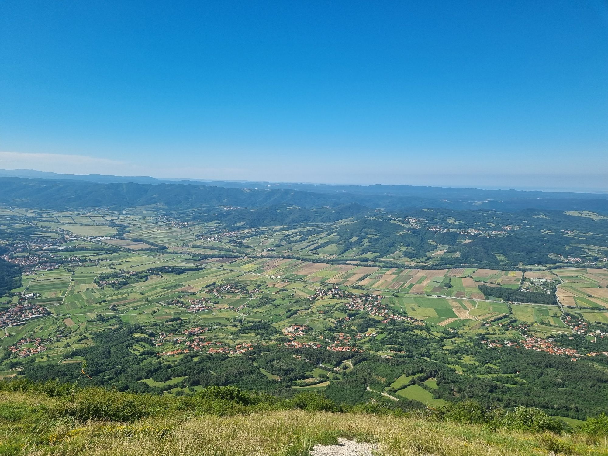
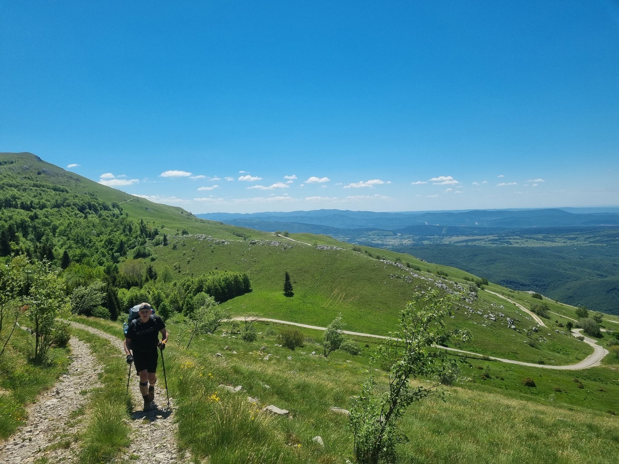
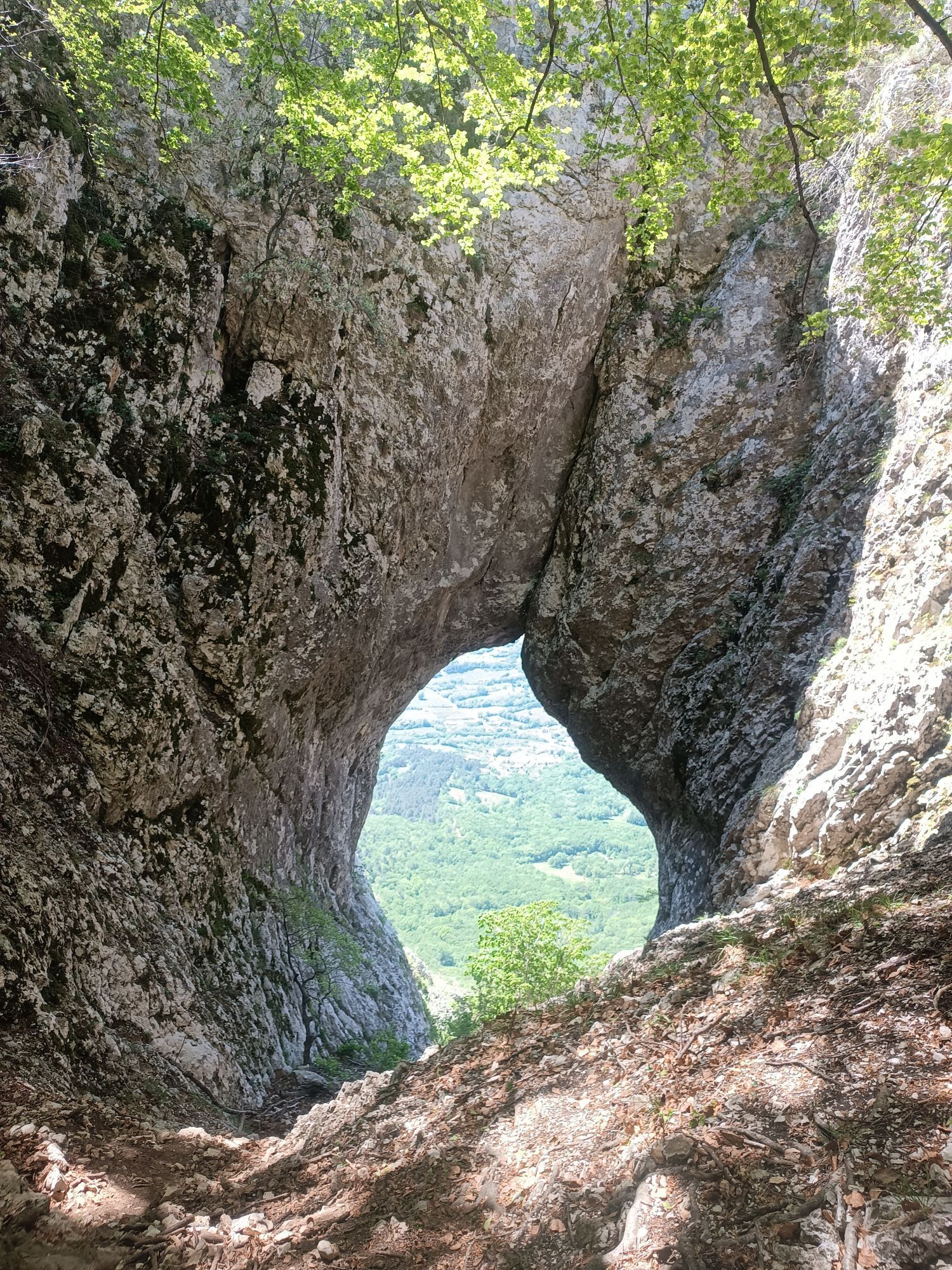
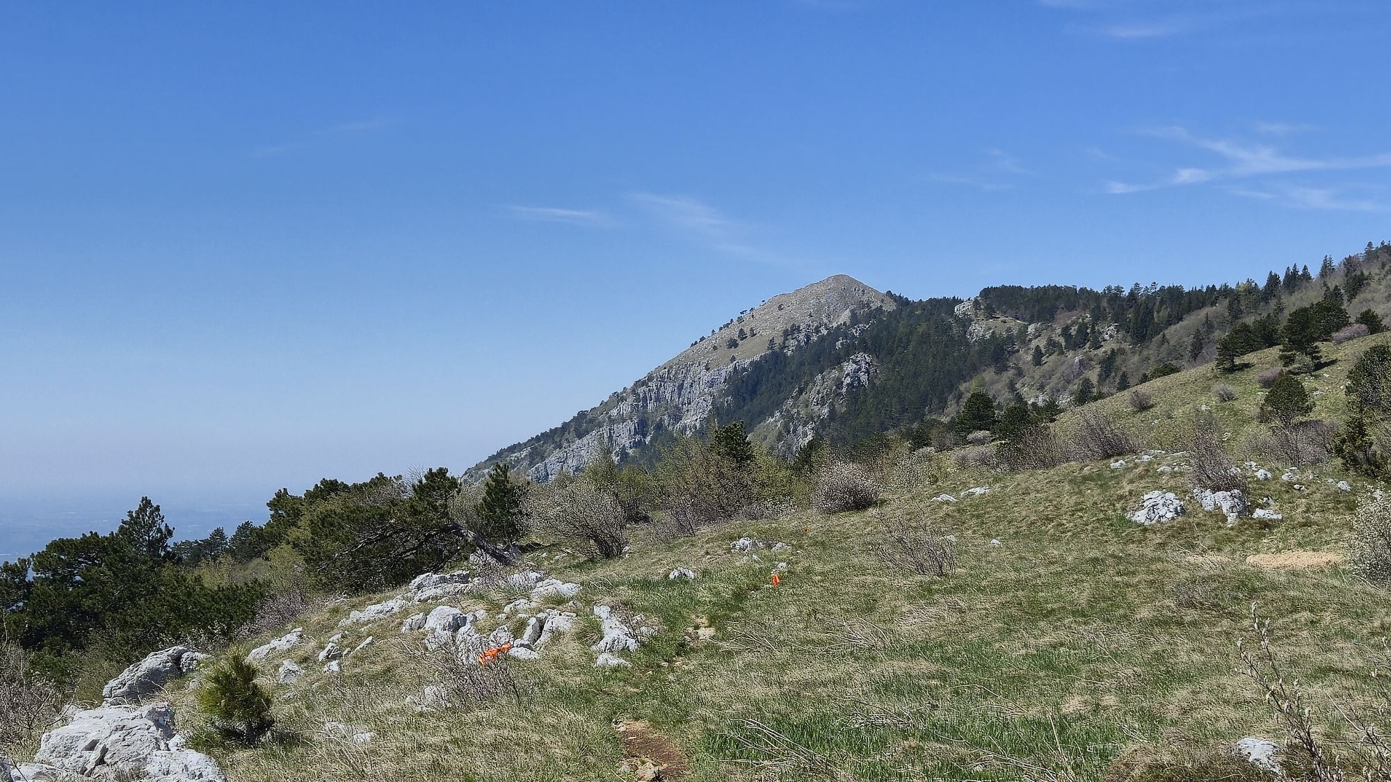
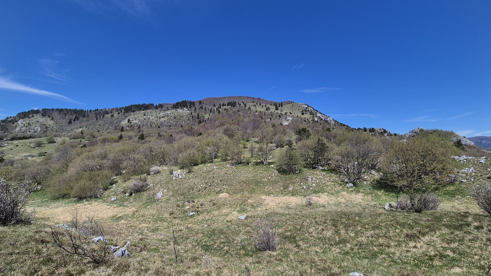
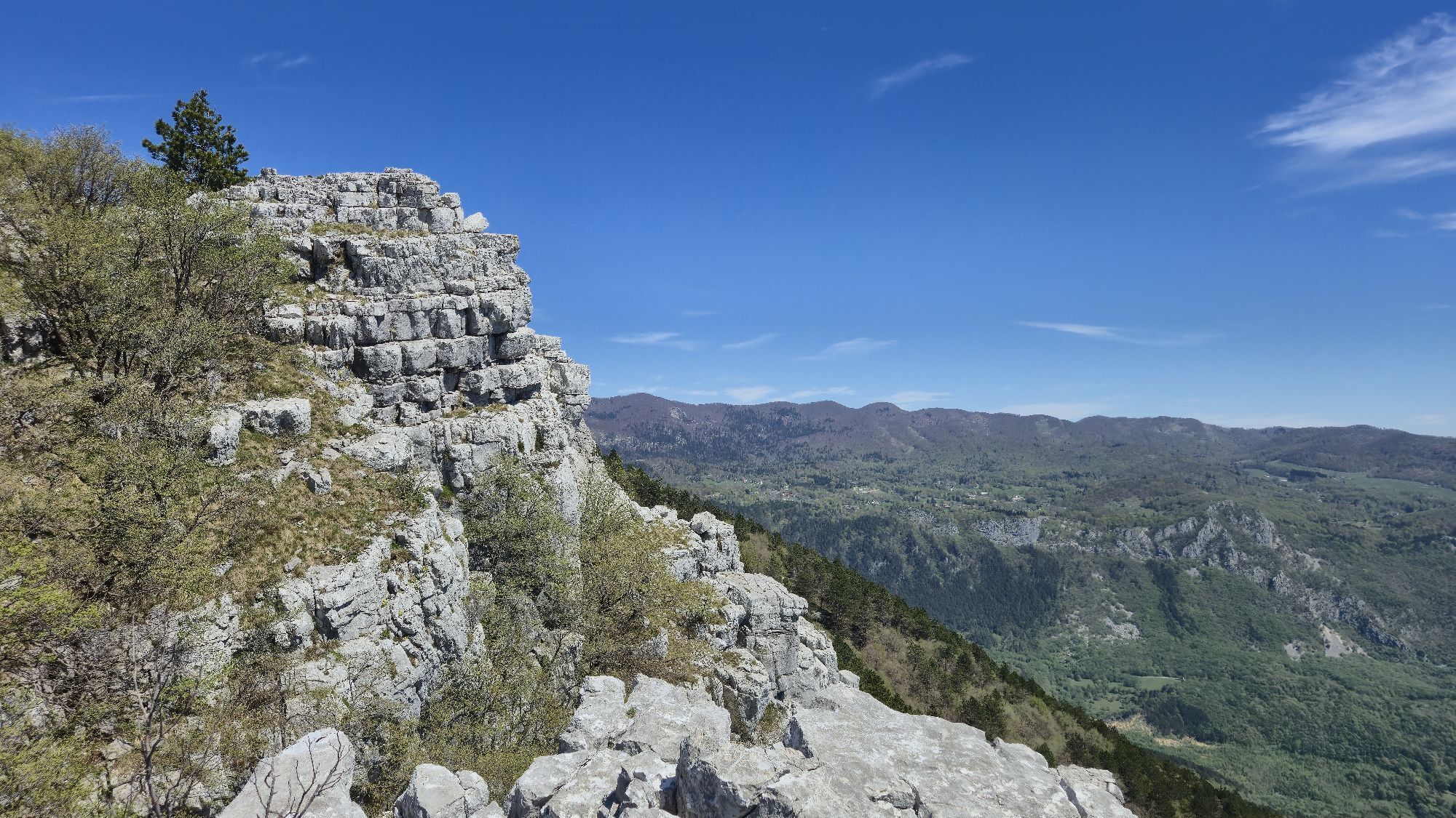
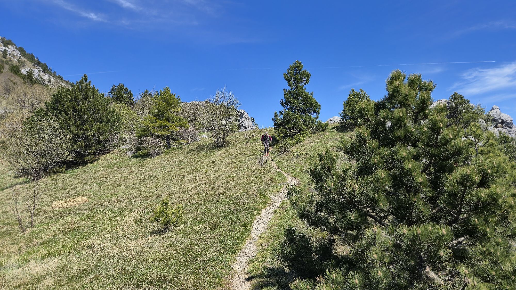
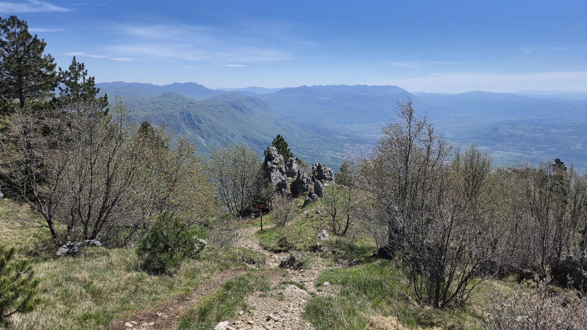
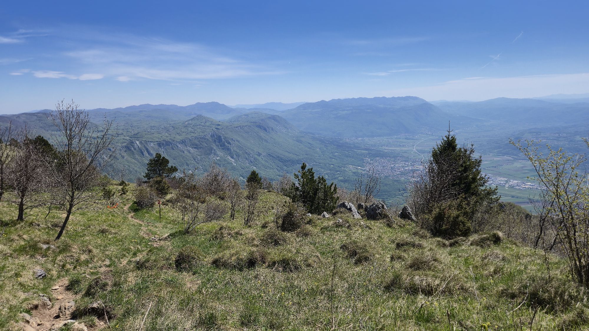
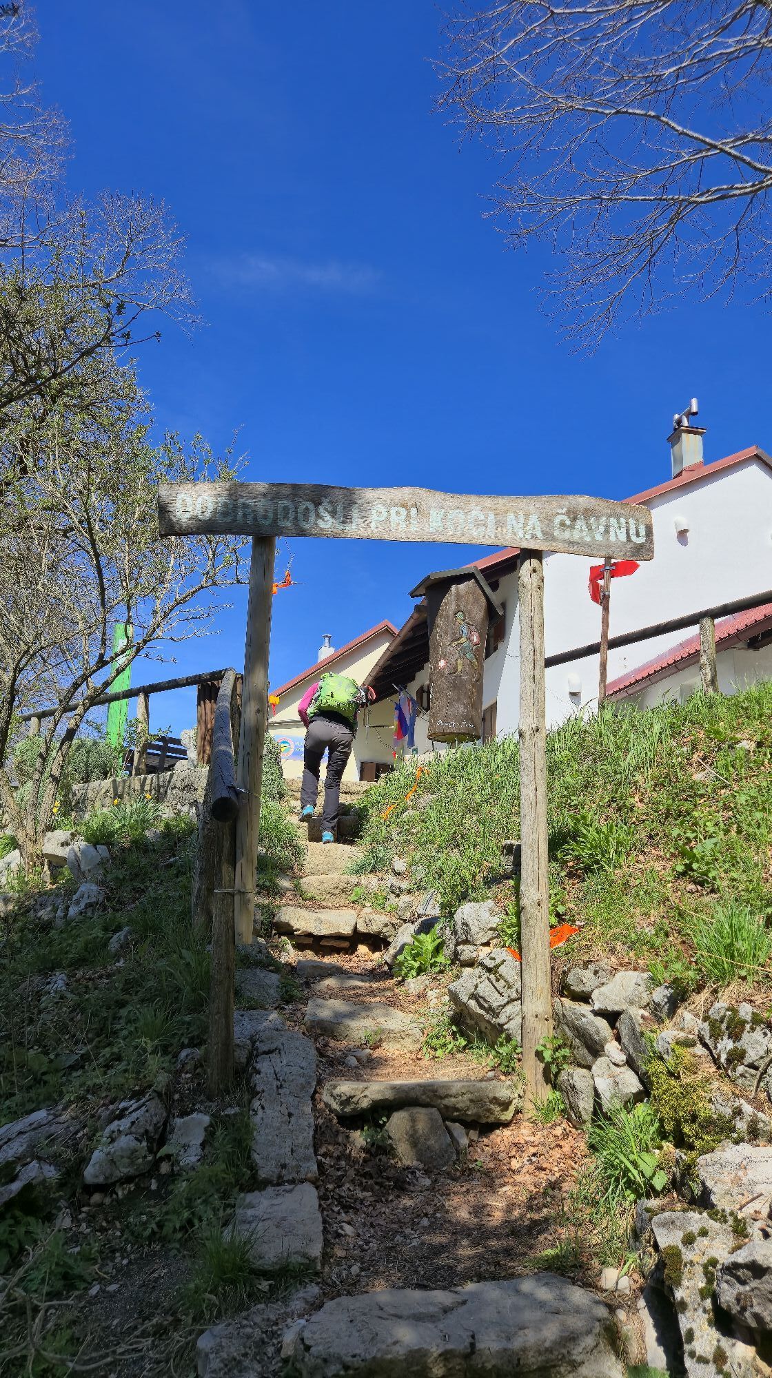
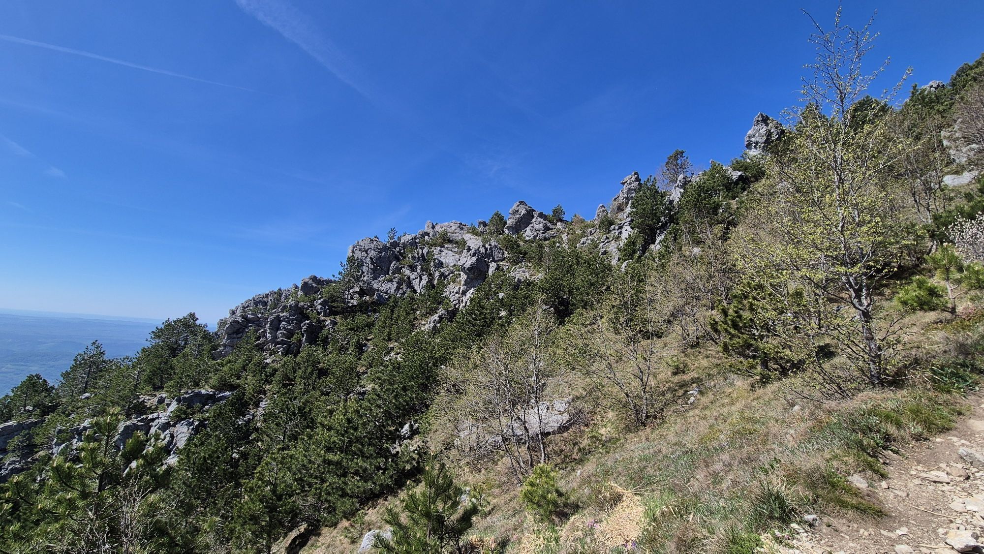
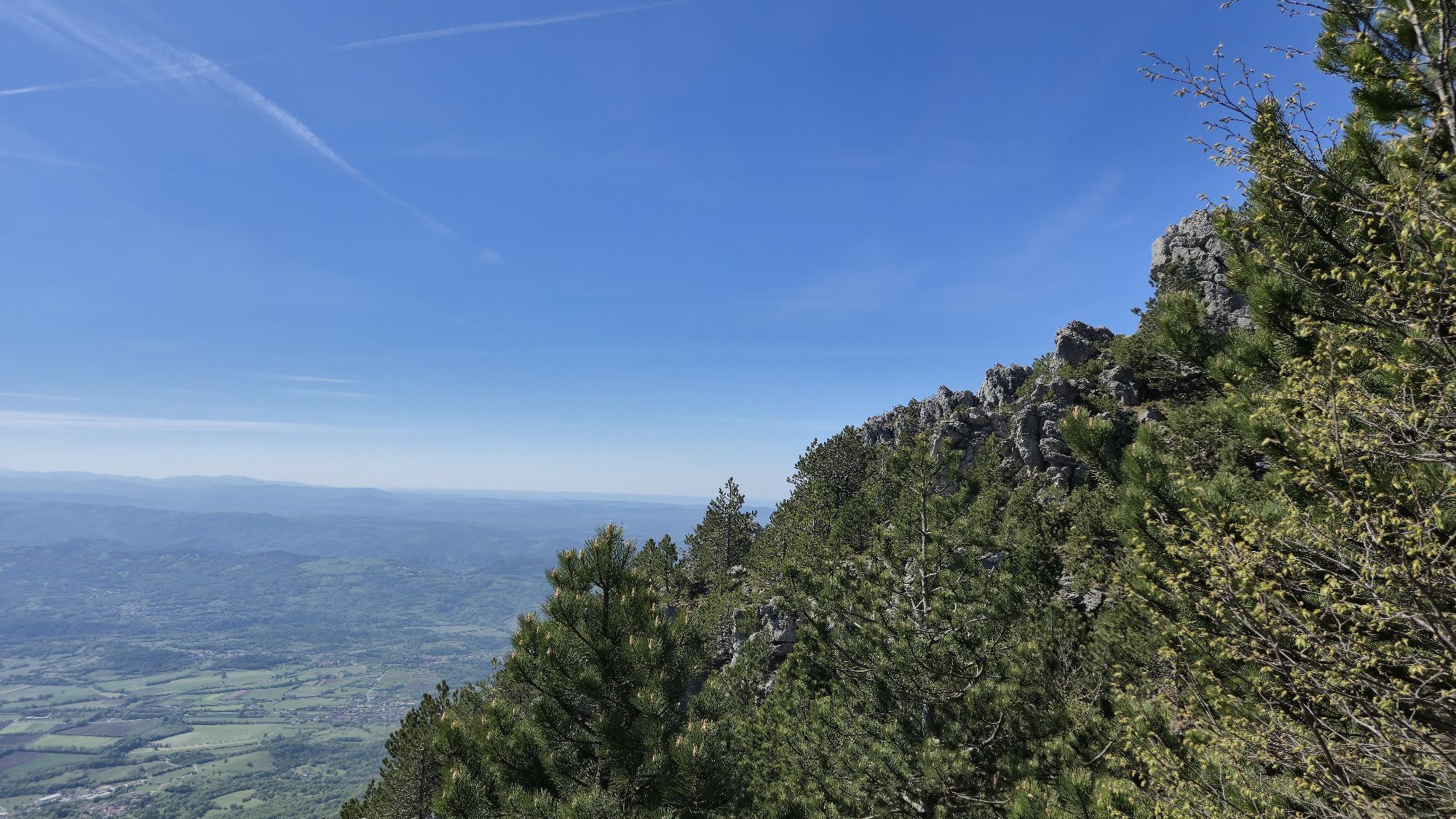
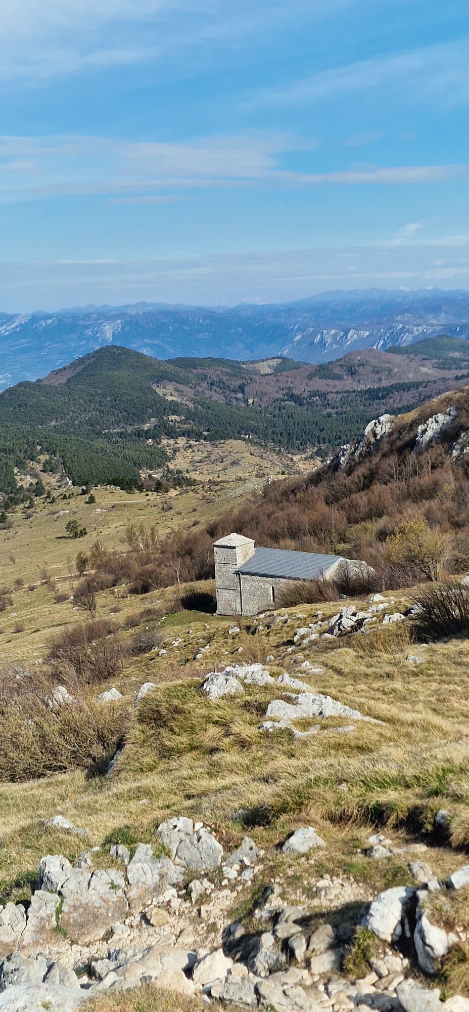
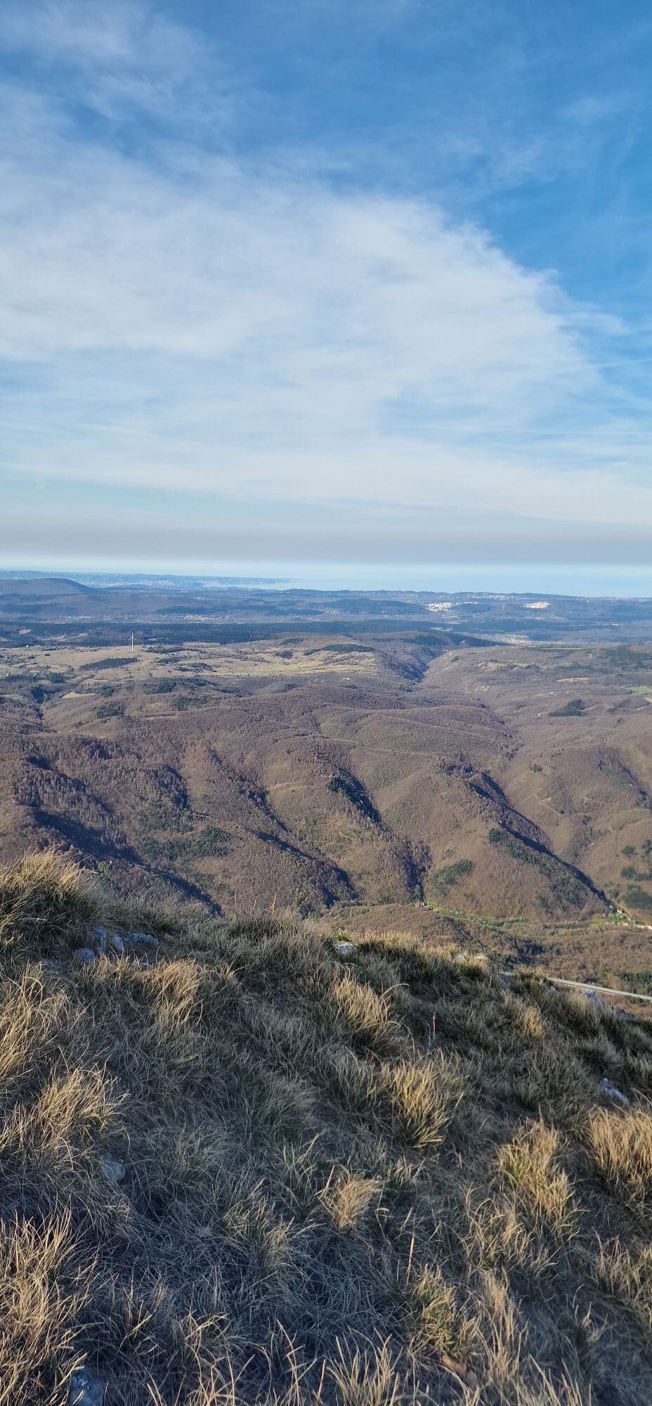
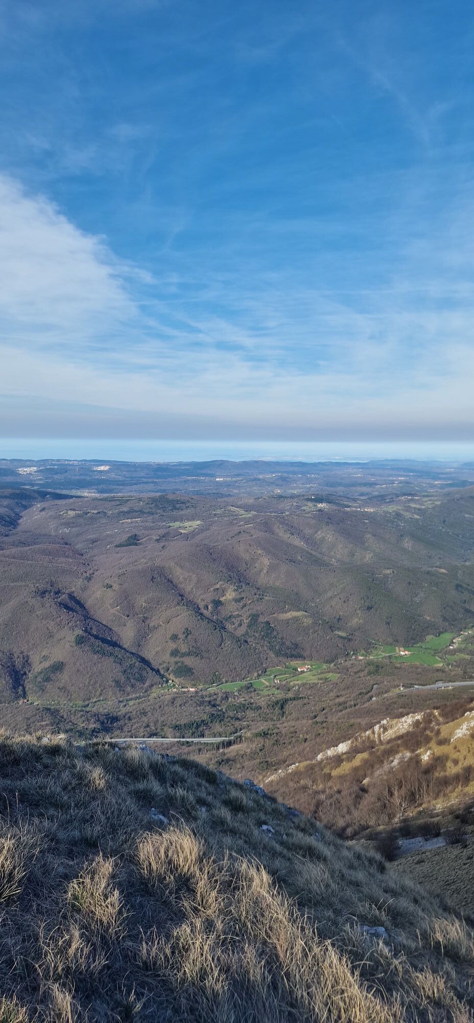
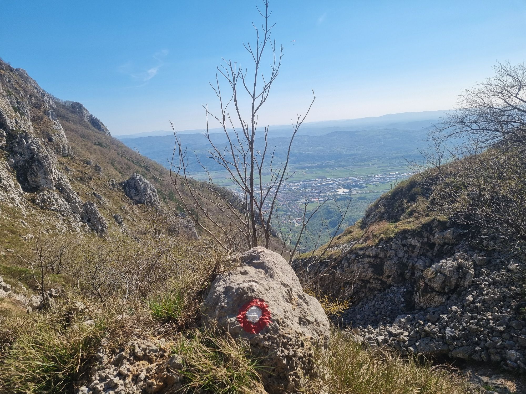
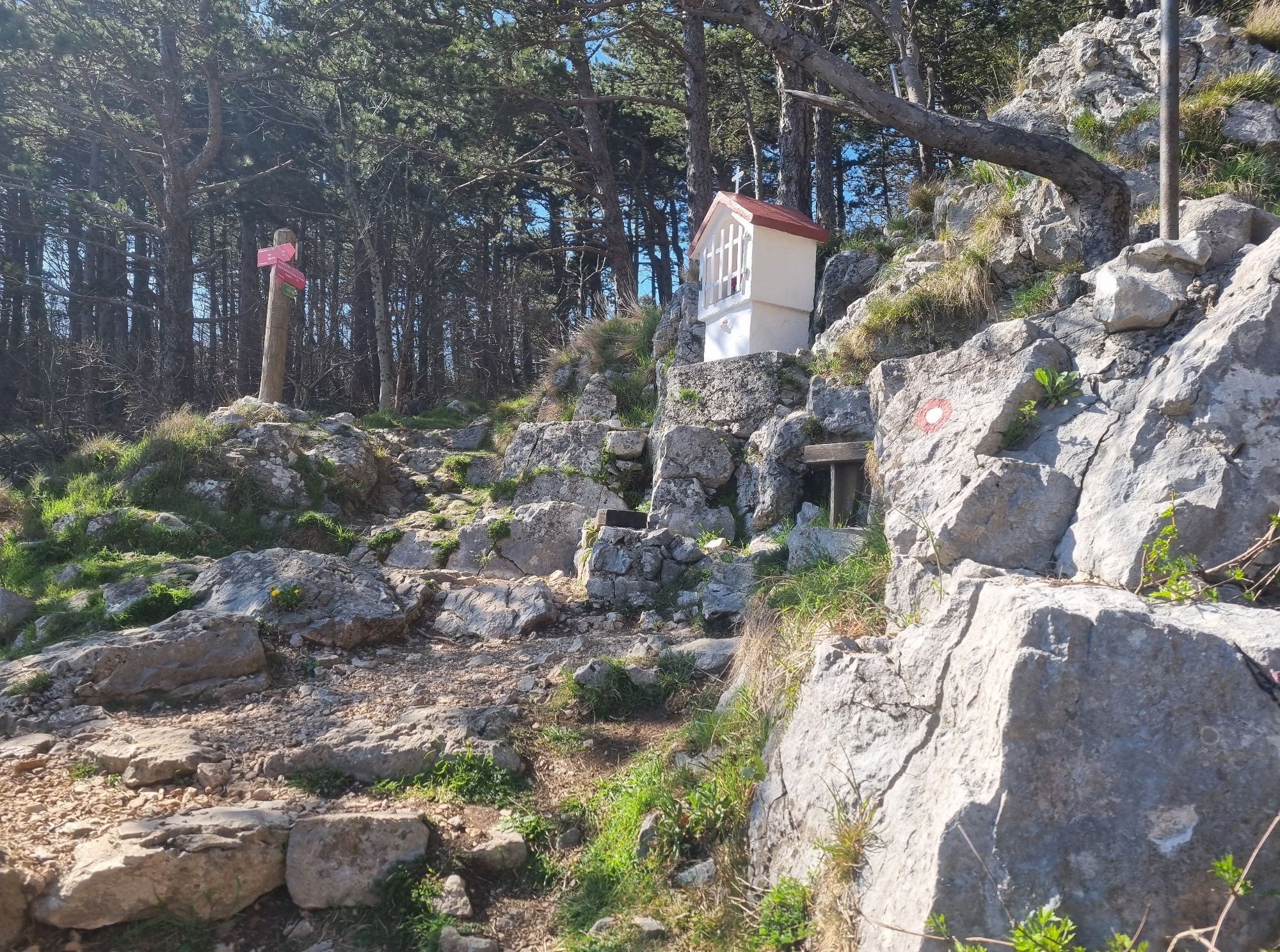
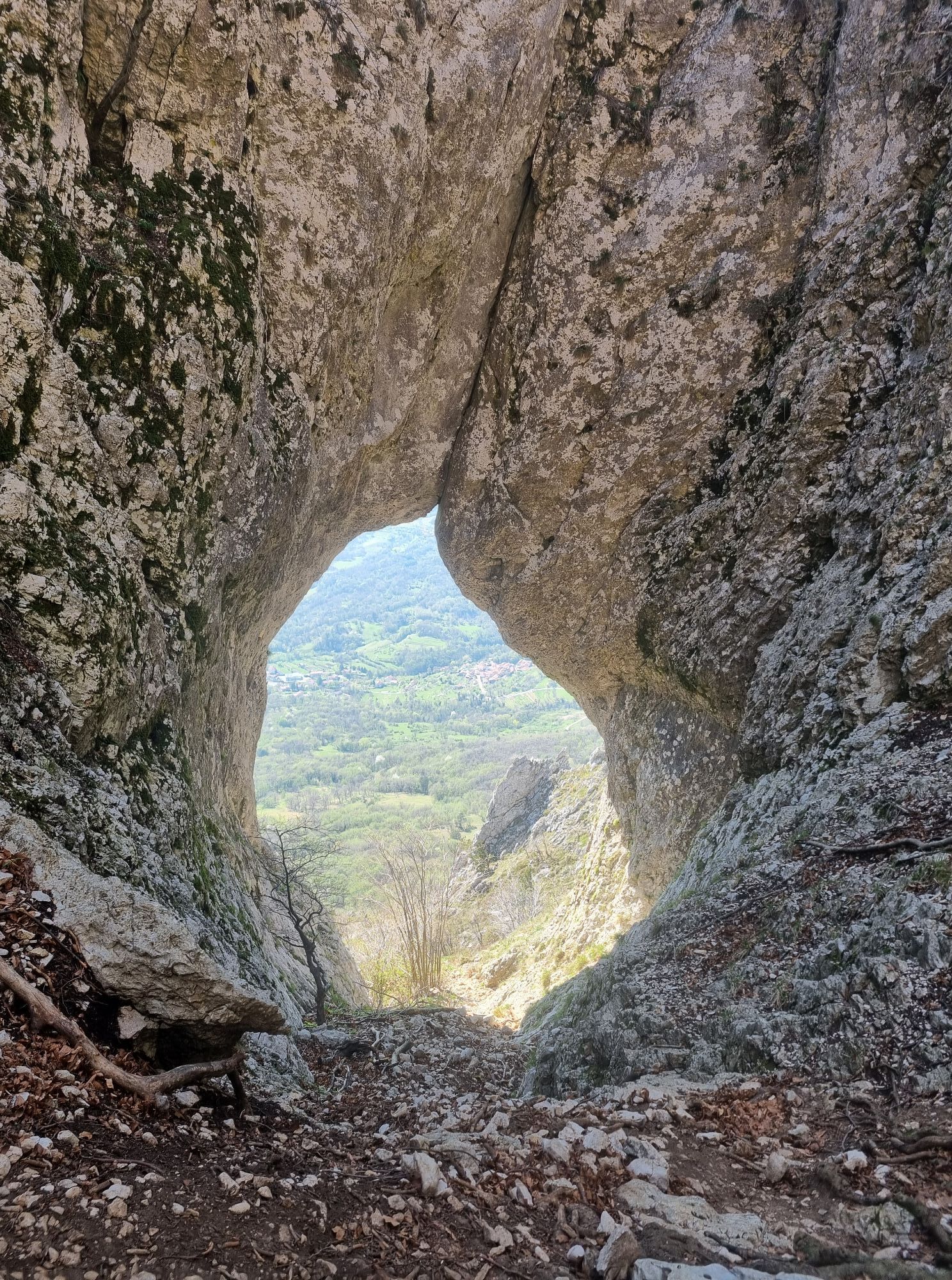
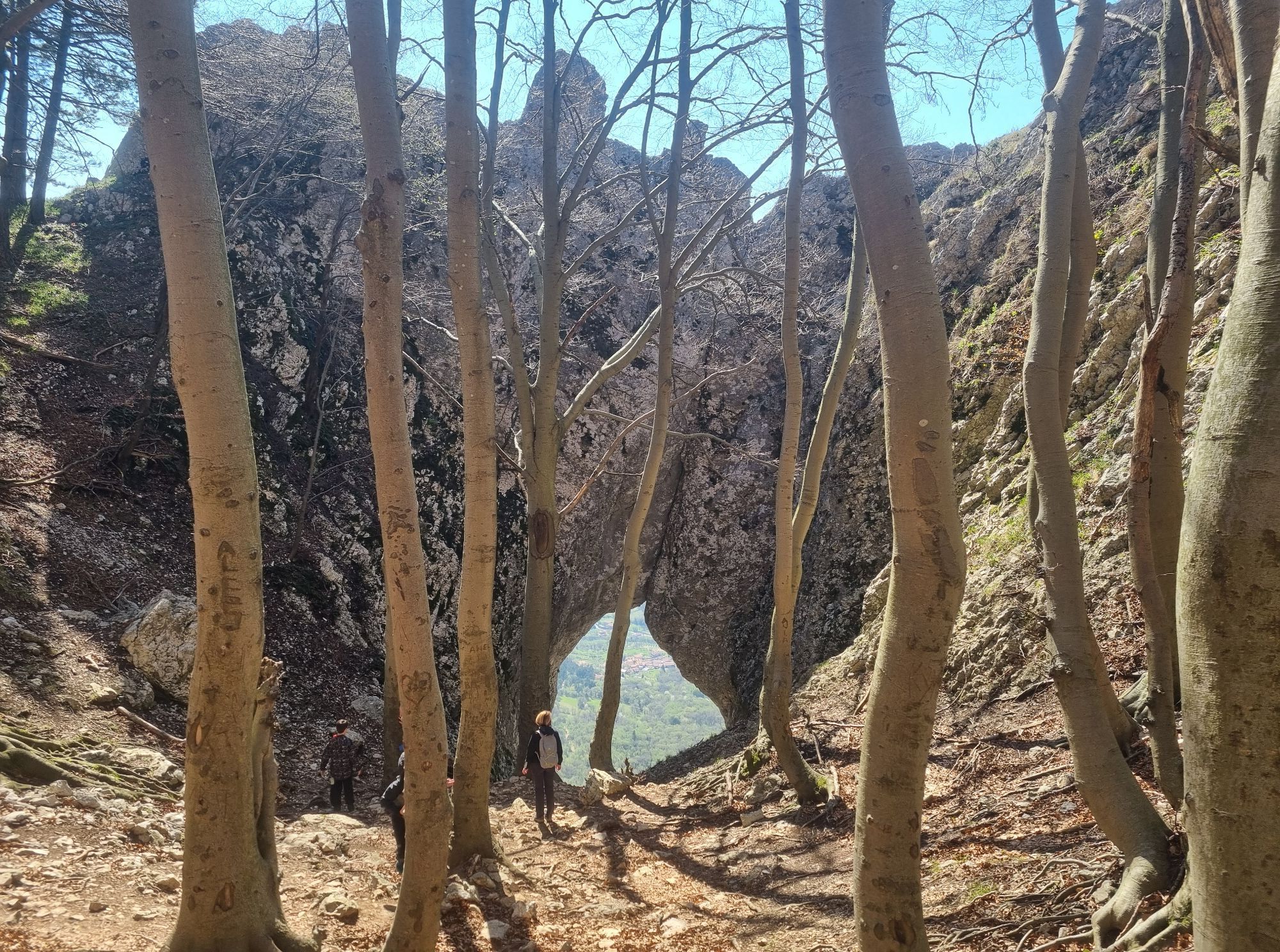
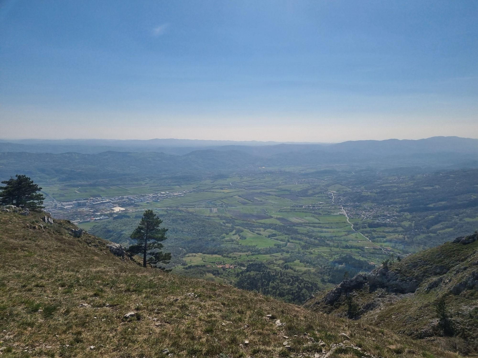
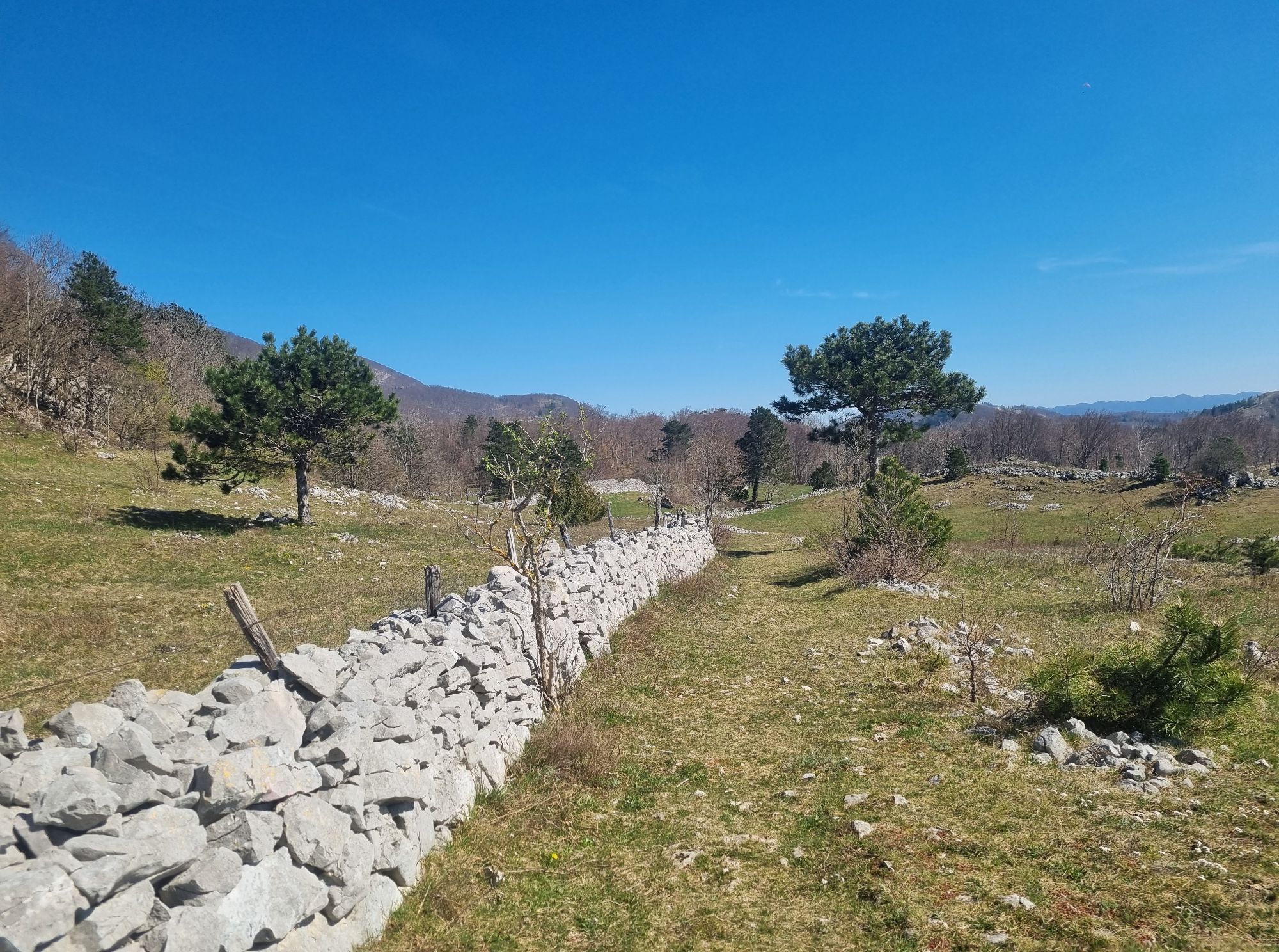
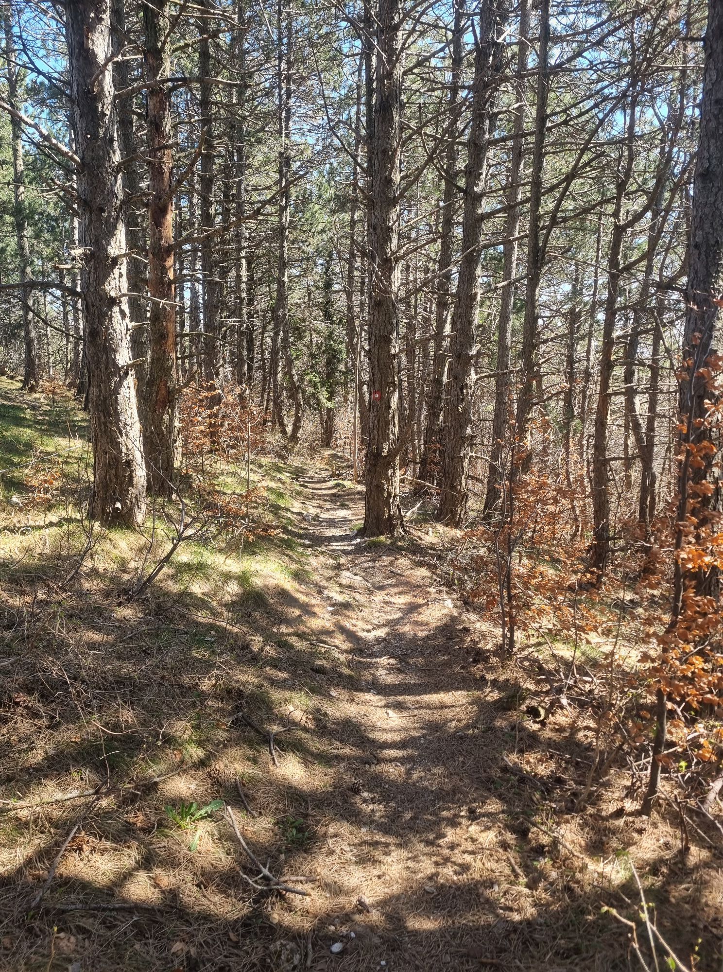
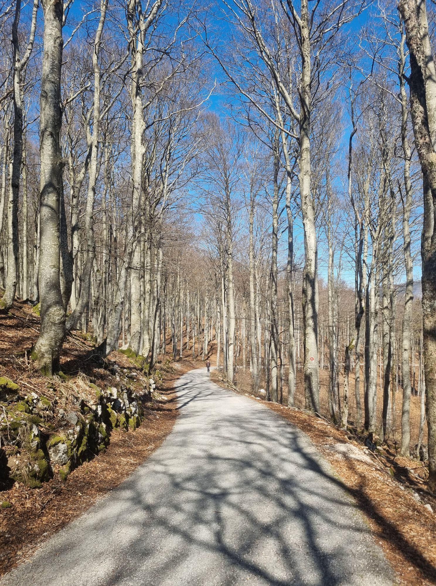
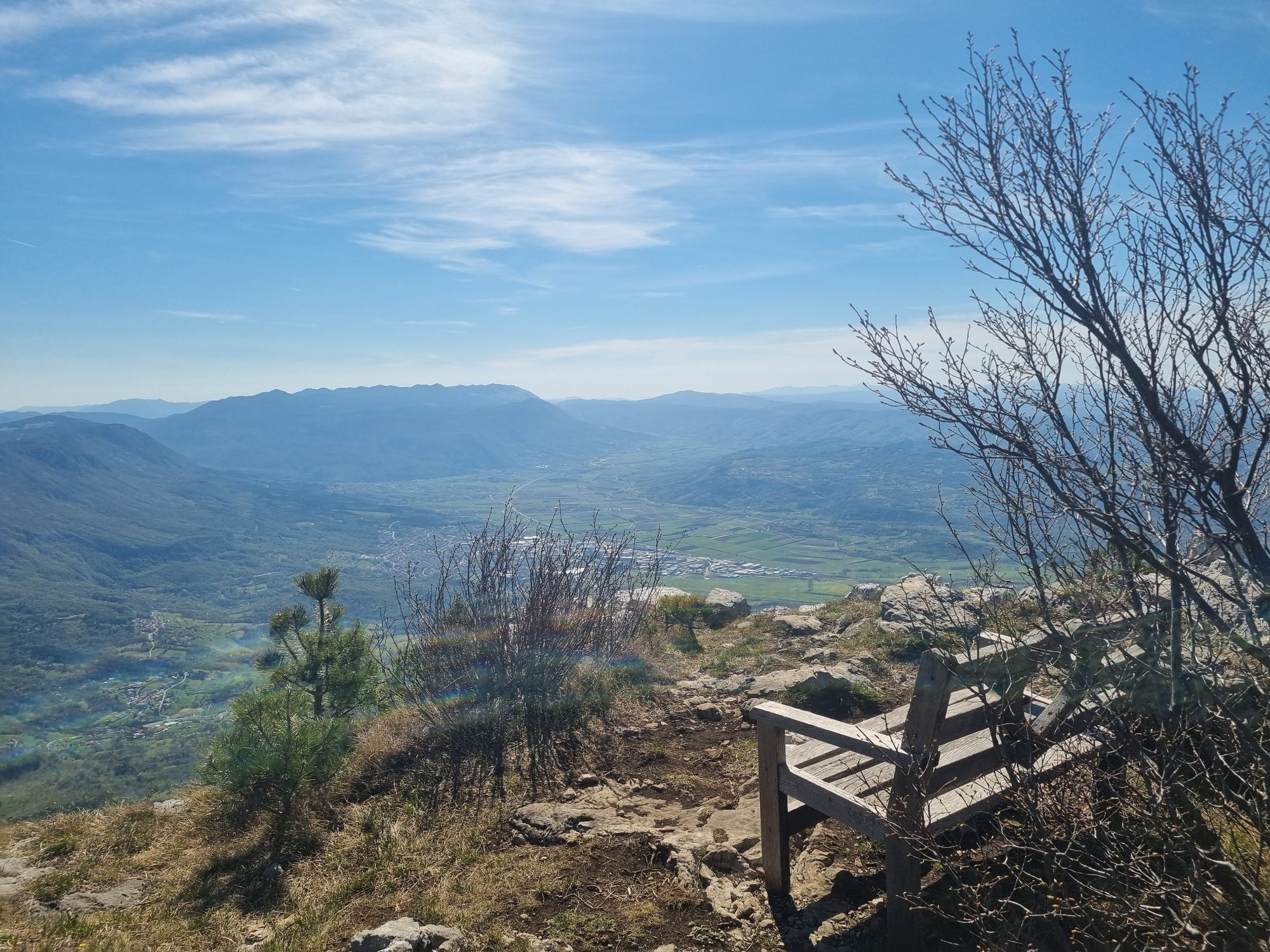
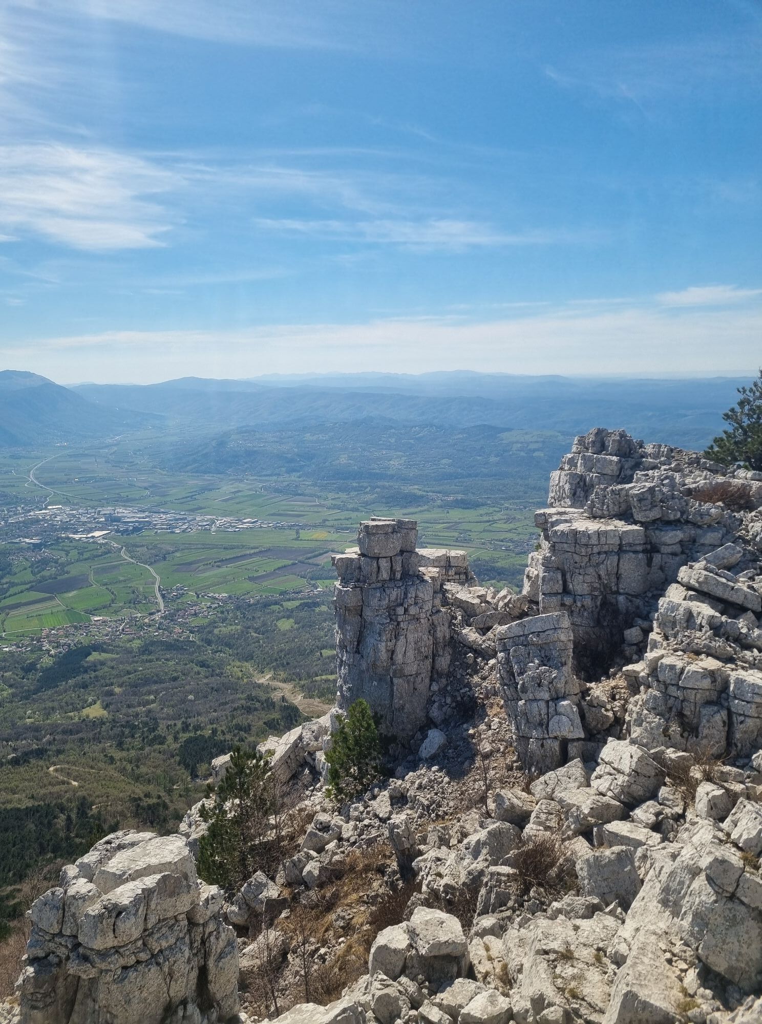
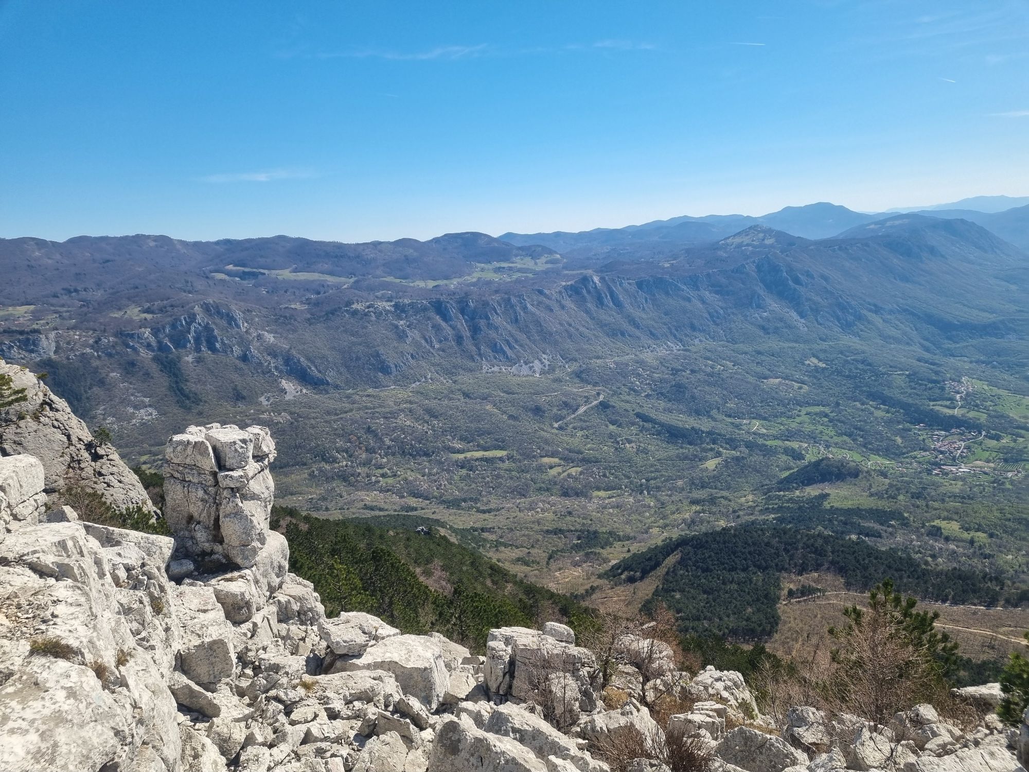
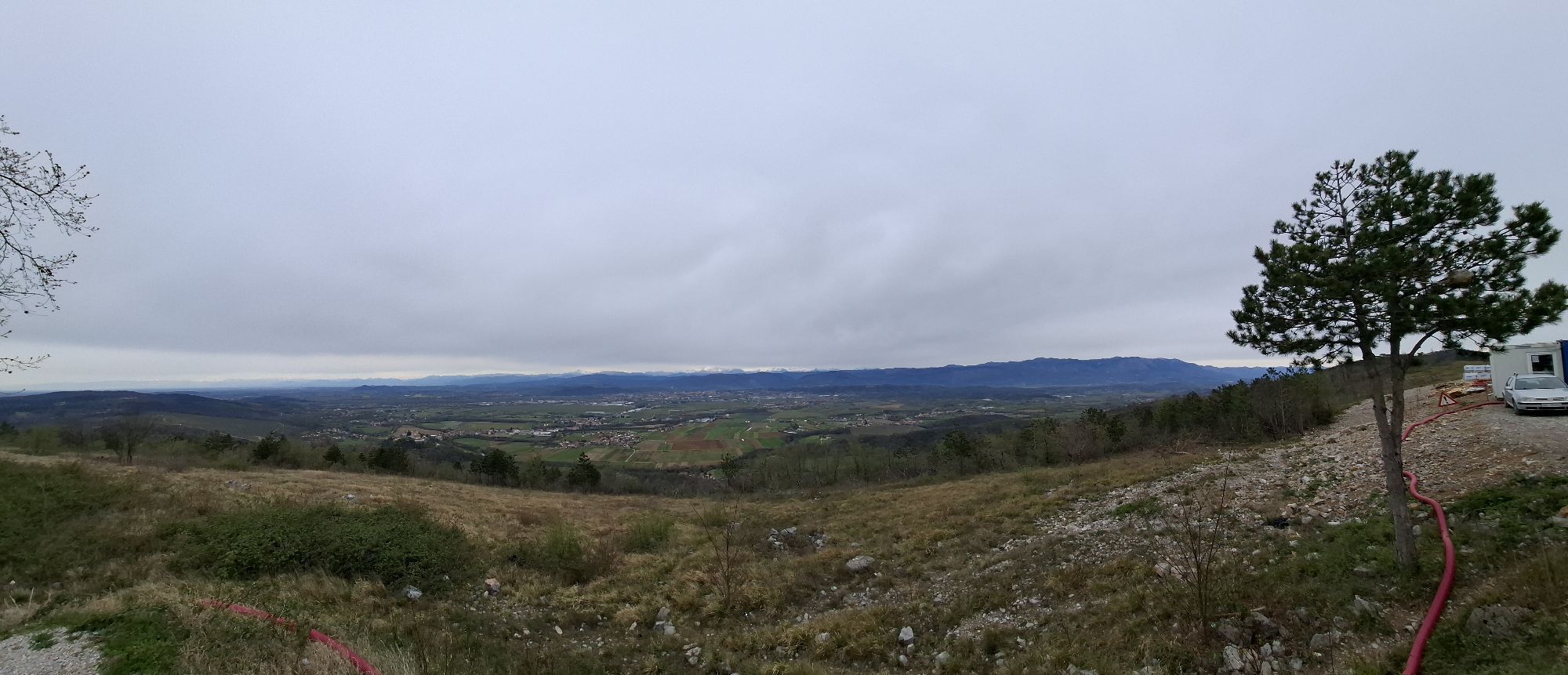
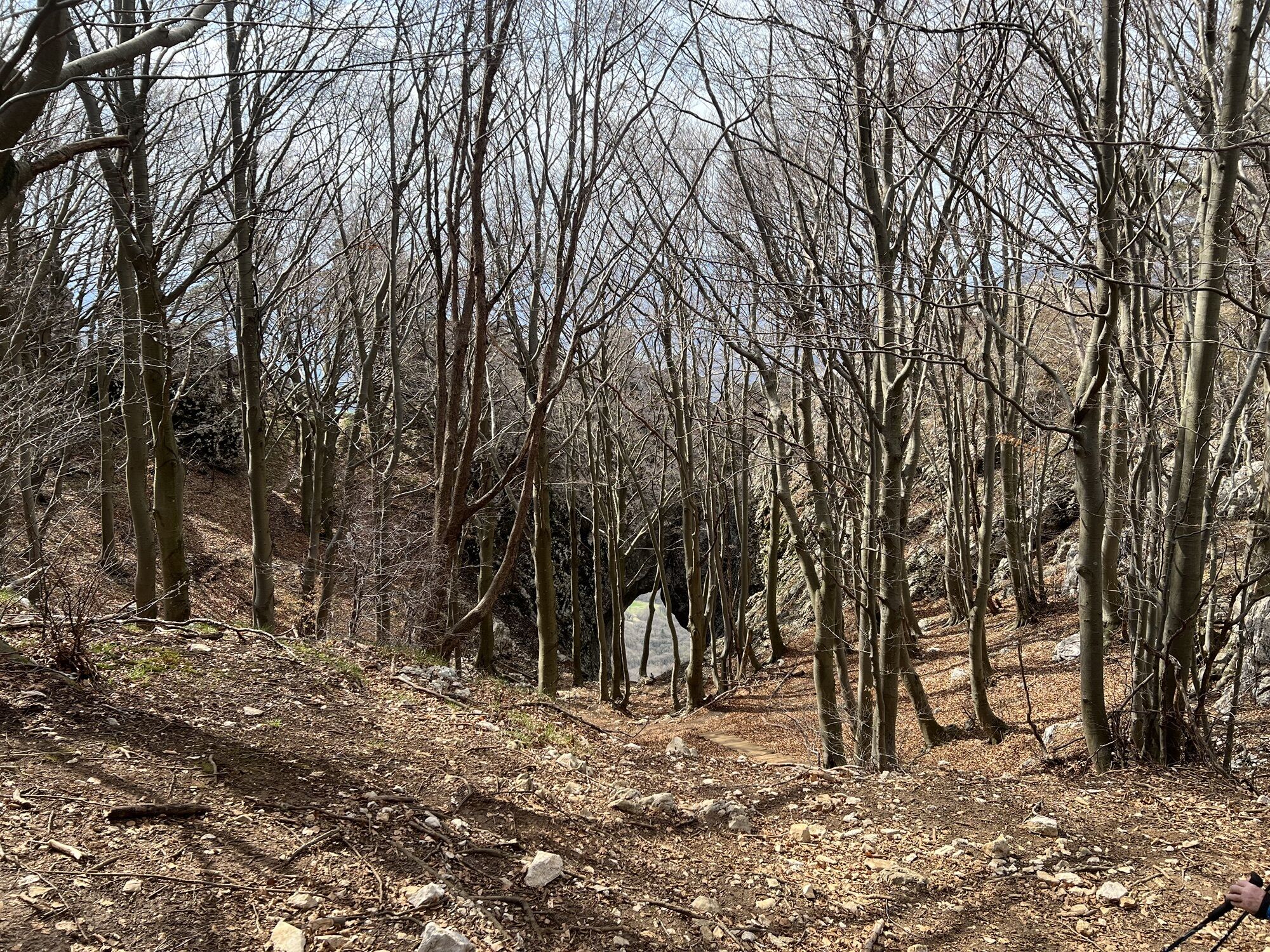
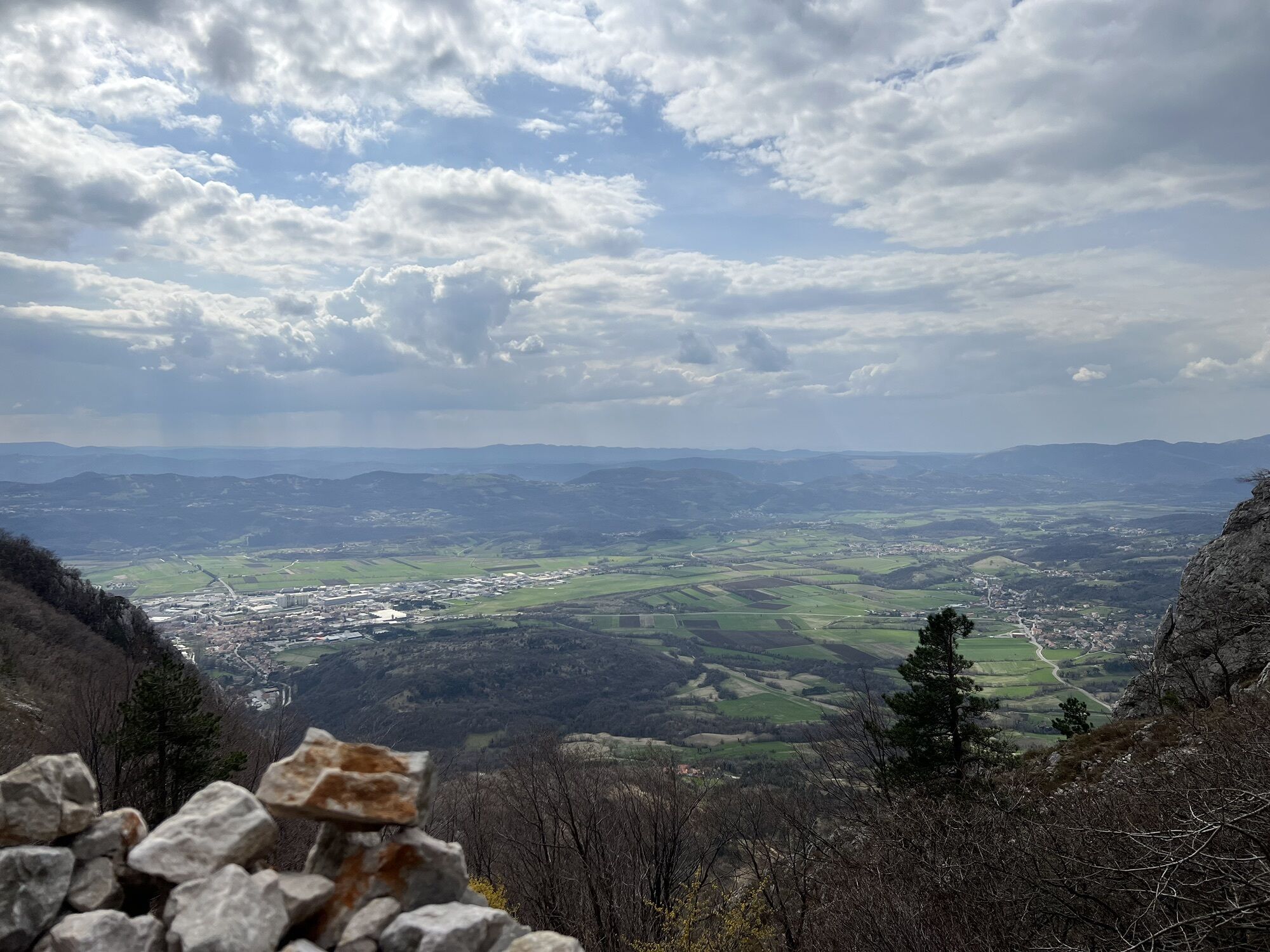
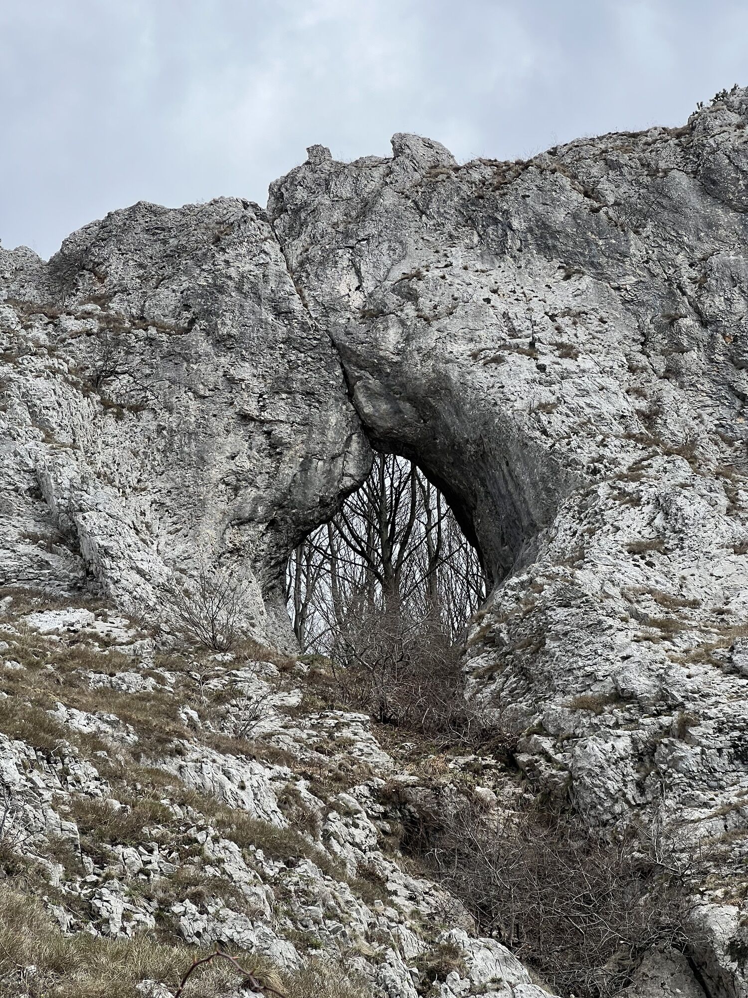
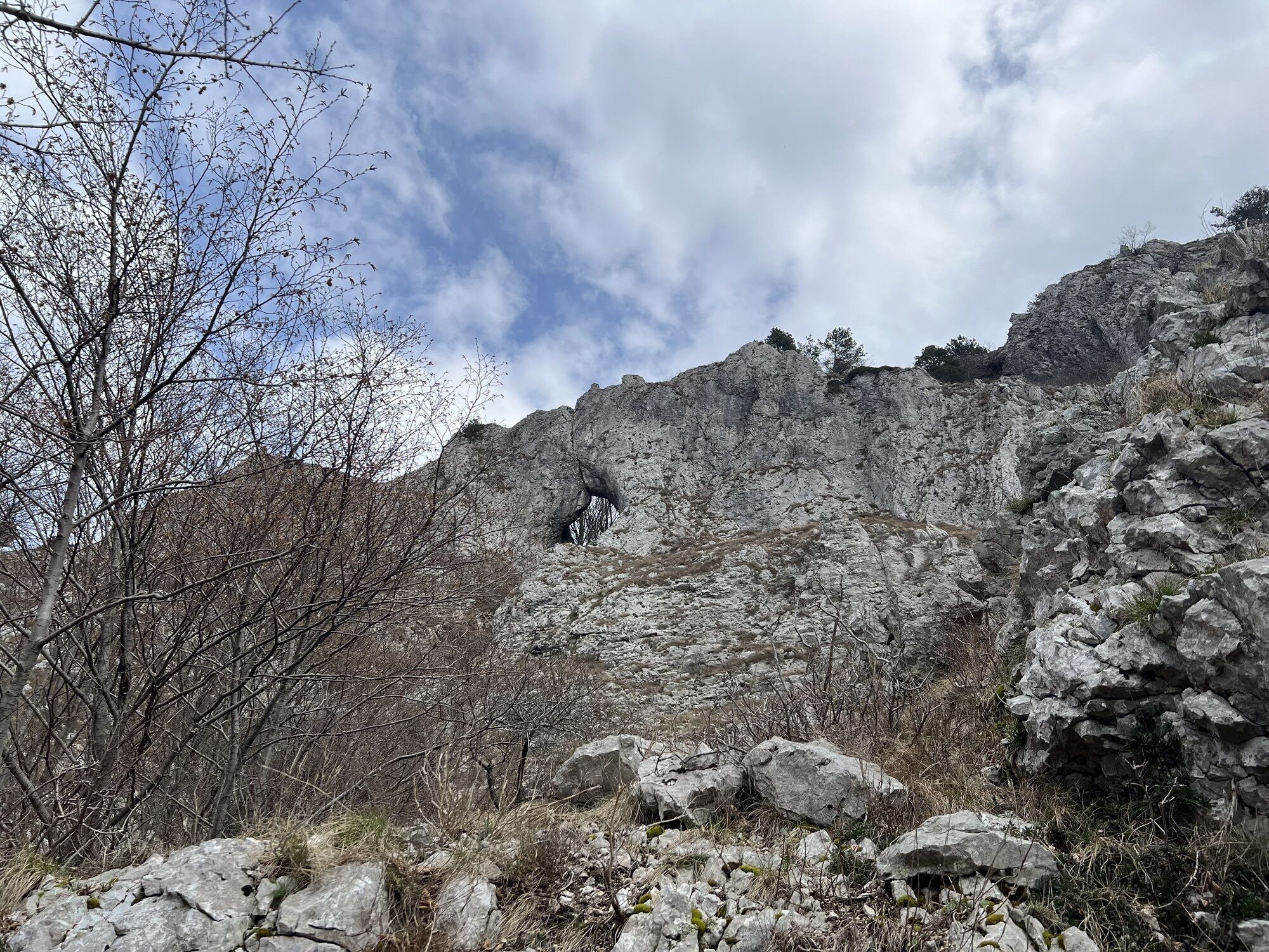
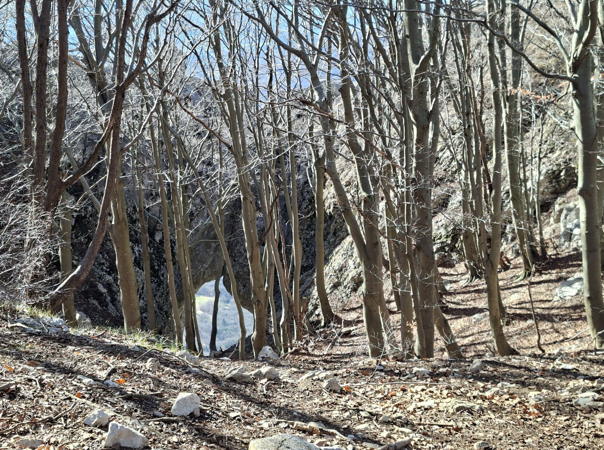
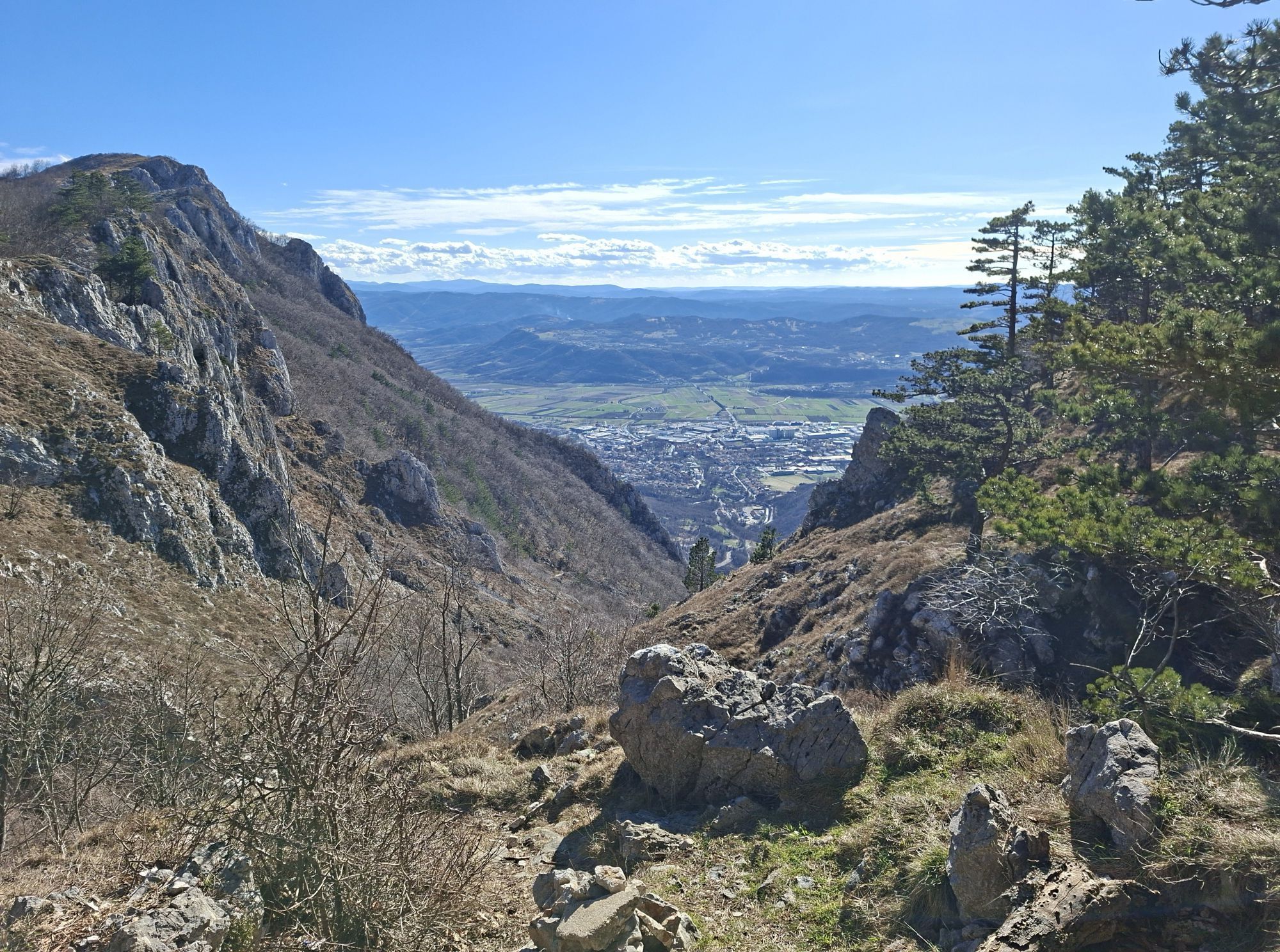
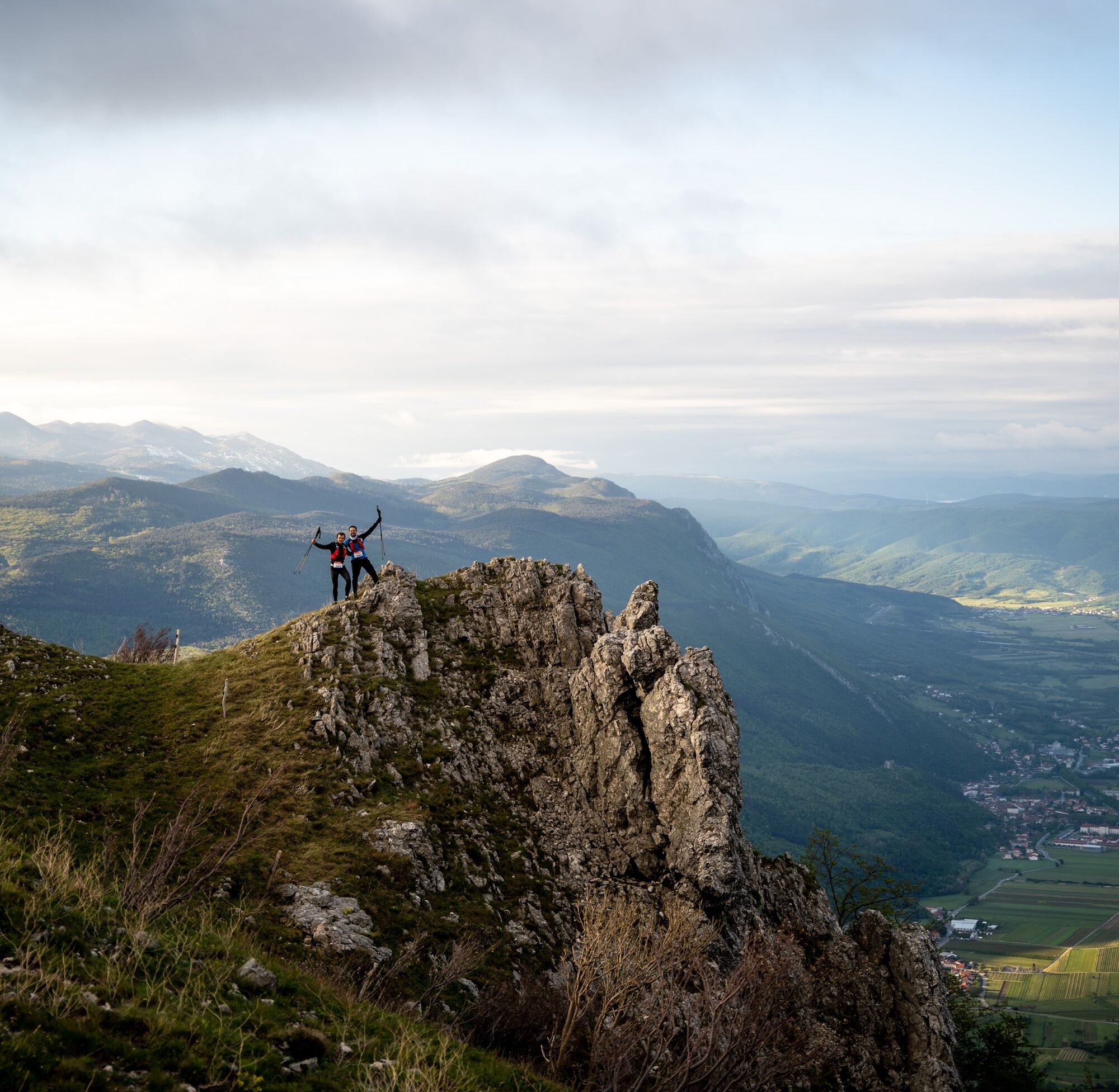
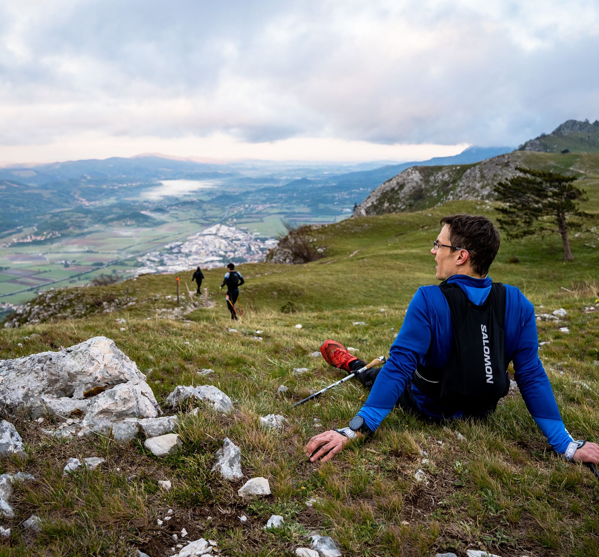
UTVV Long Distance Trail is a 160 km permanent loop encircling the Vipava Valley with 6,000 meters of cumulative ascent. Designed on the backbone of the UTVV race terrain (Emperor route), it connects exposed...
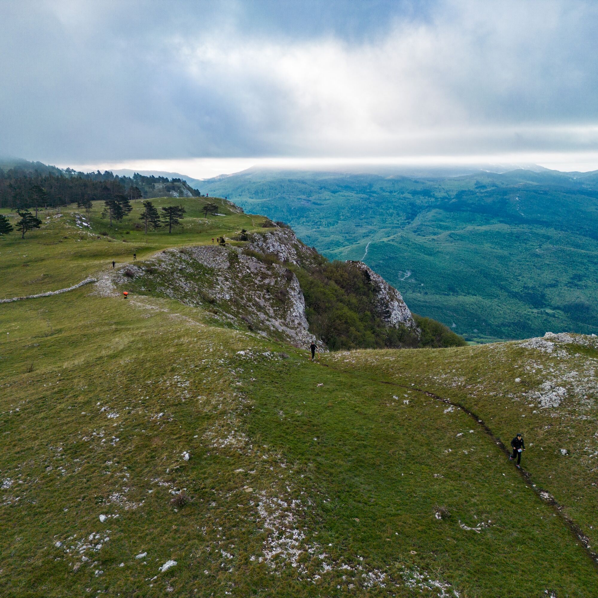
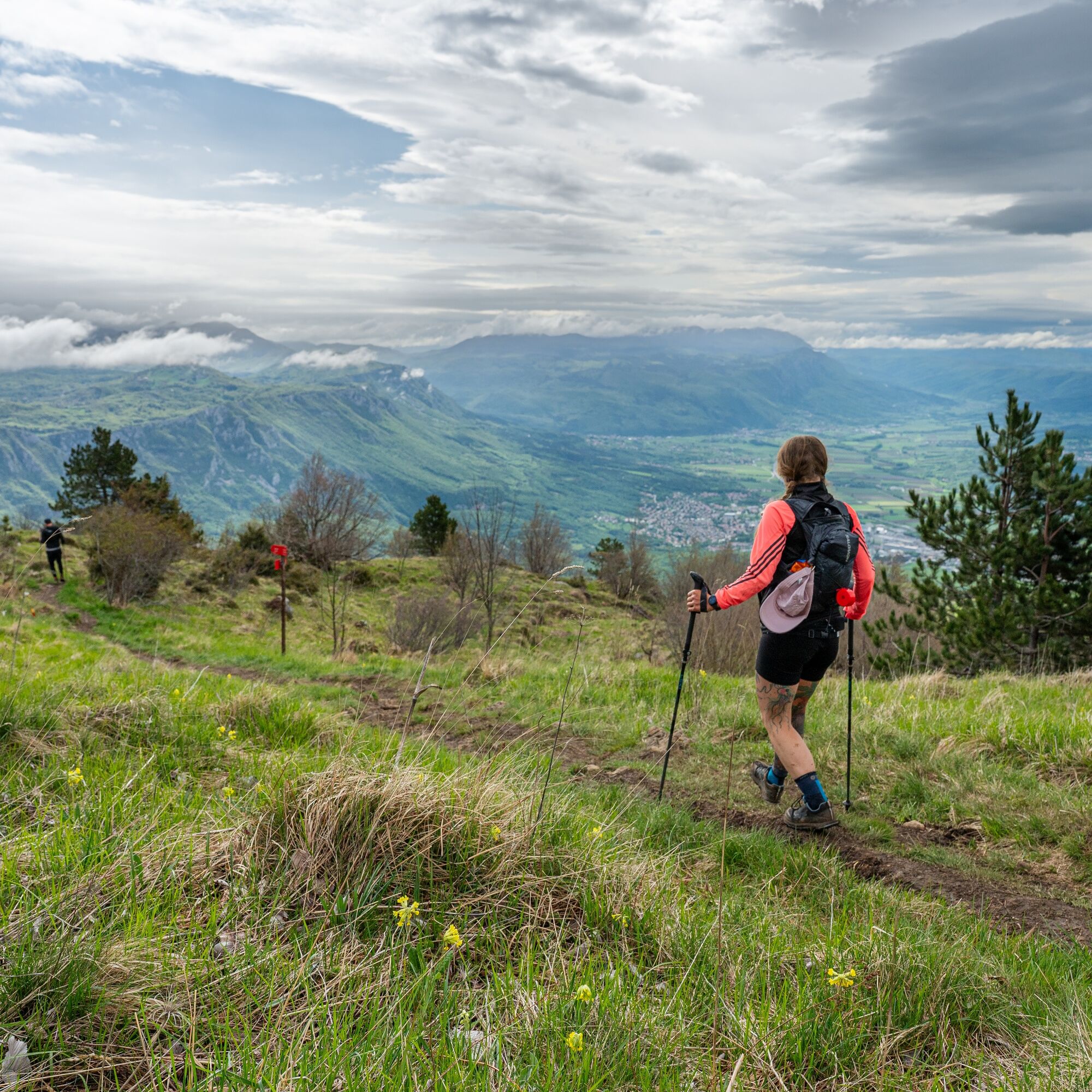
UTVV Long Distance Trail is a 160 km permanent loop encircling the Vipava Valley with 6,000 meters of cumulative ascent. Designed on the backbone of the UTVV race terrain (Emperor route), it connects exposed ridgelines, karst plateaus, forest of Trnovski gozd, and the iconic limestone edge above the valley.
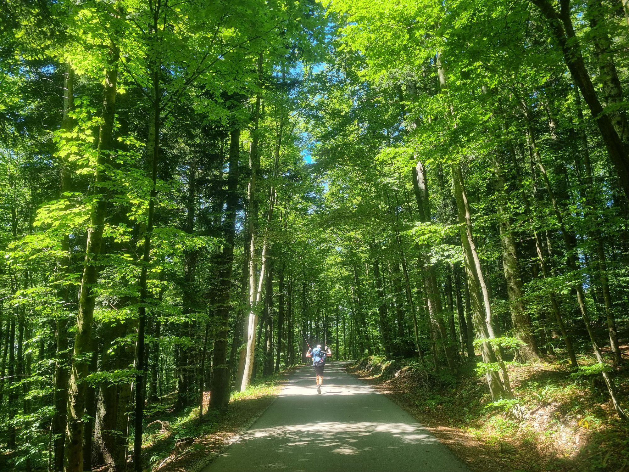
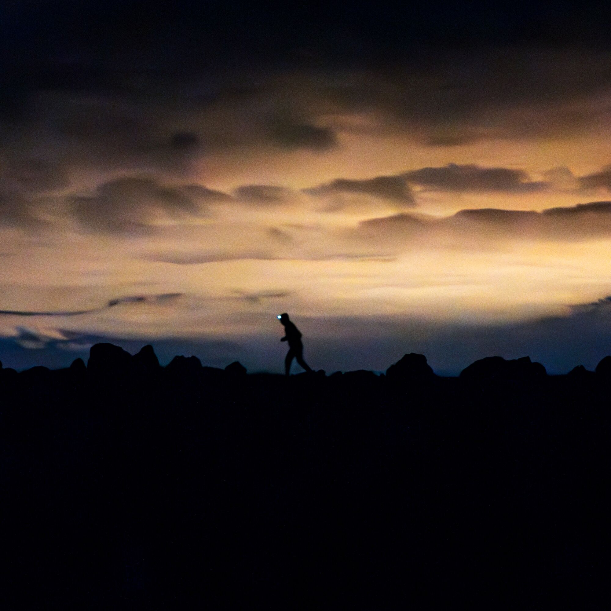
The route follows existing mountain trails and remote paths, combining technical rocky sections, runnable forest tracks, and panoramic traverses shaped by the strong local wind – the Burja. It is intended for experienced hikers, trail runners, and fastpackers who are comfortable with long distances and self-sufficiency.
The trail can be completed in multiple stages or as a multi-day endurance challenge. Villages along the valley provide access points, water, and accommodation options, allowing flexible planning.
This is not a race course but a permanent outdoor experience – a full-circle journey around one of Slovenia’s most diverse landscapes.



Total distance: 160 km
Total ascent: 6,000 m
Highest point: Nanos (1265 m)
Terrain: karst limestone, forest trails, rocky ridgelines
Marking: partially marked permanent UTVV trail (additional marking in progress)
Recommended duration: 4–7 days (multi-stage)
Tak
Tak
Tak
Tak
Trail running or mountain hiking shoes with good grip
Weatherproof jacket (wind protection essential)
Sufficient water capacity (minimum 1.5–2L recommended)
GPS device or OutdoorActive app with downloaded offline map
Headlamp (for long stages)
Basic first aid kit
Emergency blanket
Power bank
This is a demanding long-distance mountain trail with significant elevation gain and remote sections.
The weather can change rapidly, especially on Nanos, Äaven, and Trnovski gozd.
Strong Burja wind may affect balance and visibility on exposed ridges.
Some sections are rocky and technically demanding.
Water sources are limited on karst terrain — plan accordingly.
Snow and ice are possible in winter and early spring.
Mobile signal is not guaranteed everywhere.
Hikers are responsible for their own safety.
AjdovšÄina is located in western Slovenia, in the heart of the Vipava Valley.
By car from Ljubljana (approx. 1 hour): Take the A1 motorway towards Koper and exit at AjdovšÄina.
From Nova Gorica (approx. 30 minutes): Follow the H4 expressway towards Ljubljana and exit at AjdovšÄina.
From Italy (Trieste, approx. 45 minutes): Drive via the FernetiÄi border crossing towards Sežana and continue on the H4 expressway to AjdovšÄina.
AjdovšÄina is well signposted and easily accessible from all major directions.
Vipava Valley is accessible by public transport from Ljubljana and Nova Gorica. Main access points to the trail are located near towns such as AjdovšÄina and Vipava, which are served by regular bus connections.
As the route is a circular loop, you can start and finish in the same location, simplifying logistics. For stage-based hiking, local bus connections link several villages along the valley floor.
Timetables should be checked in advance, especially on weekends and public holidays.
Public parking is available in AjdovšÄina, which serves as a convenient starting point for the circular UTVV Long Distance Trail. Several free and paid parking areas are located near the town center and sports facilities.
As the route is a loop, hikers and runners can start and finish in the same location, making AjdovšÄina a practical base for both single-stage and multi-day journeys.
During major events or peak season, parking availability may be limited.
T2
Best seasons: April–June and September–November.
Start early during summer due to heat exposure.
Consider dividing the route into 4–6 stages.
Support local huts, farms, and guesthouses along the valley.
Always check the weather forecast before committing to the trails.
Plan stages carefully, carry enough water on remote sections, and respect the Burja wind on ridgelines and weather conditions.
Uzyskaj wgląd
Zawsze na żywo z ponad 9 500 kamer internetowych. bergfex Jako użytkownik Pro, możesz teraz zobaczyć odpowiednie kamery internetowe dla wielu wycieczek w aplikacji wycieczki od. Pozwala to na bezpośredni podgląd aktualnych warunków.
Popularne wycieczki w okolicy
-
3,7
Trail to the natural stone bridge Skozno
światłoWędrówka 5,62 km -
4,0
Naturalne okno Otlica
średniWędrówka 10,5 km -
Collio - Pierścień Brda (R014)
średniKolarstwo długodystansowe 60,6 km -
5,0
Edge route
światłoWędrówka 14,5 km -
Educational Trail along the River Hubelj
światłoWędrówka 3,79 km -
On Vertovec's paths
światłoWędrówka 17,7 km -
2,0
The Upper Vipava Valley
światłoJazda na rowerze 34,2 km -
Skrlanka Circular Route
światłoWędrówka 5,75 km -
Along the Border
światłoJazda na rowerze 21,4 km -
Vitovlje circular hiking trail
średniWędrówka 7,80 km
Wędrówki i tropienie


Nie przegap ofert i inspiracji na następne wakacje
Twój adres e-mail została dodana do listy mailingowej.





