







7A Plave–Vodice–Nova Gorica
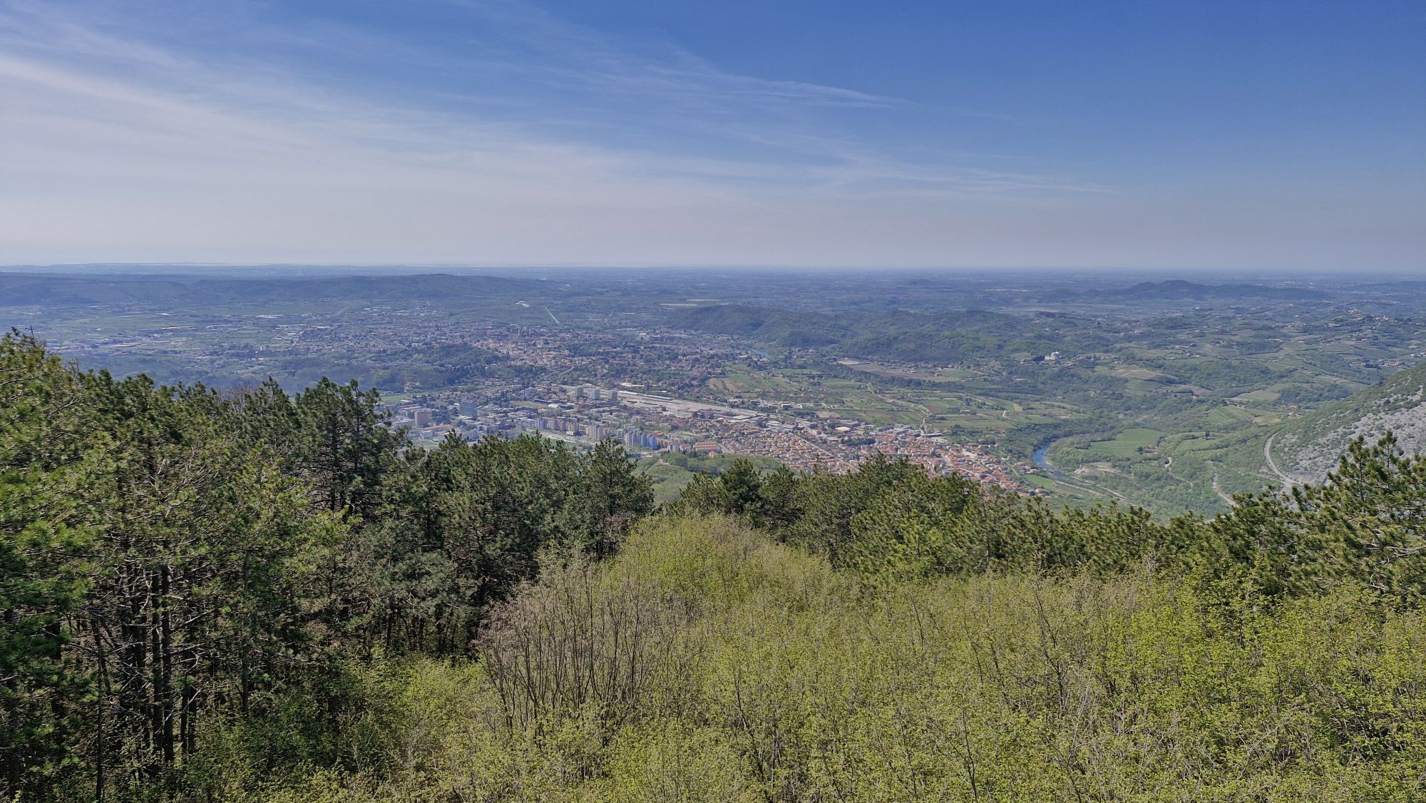
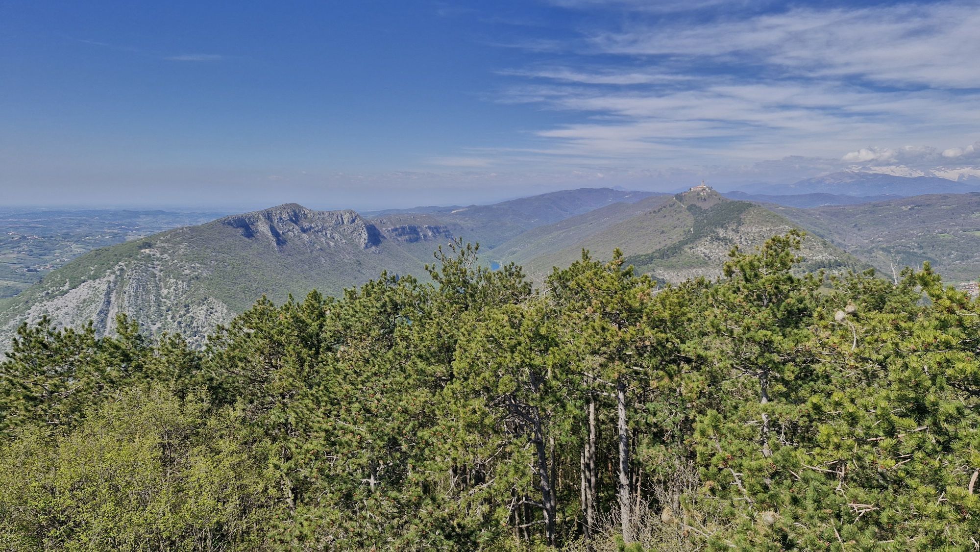
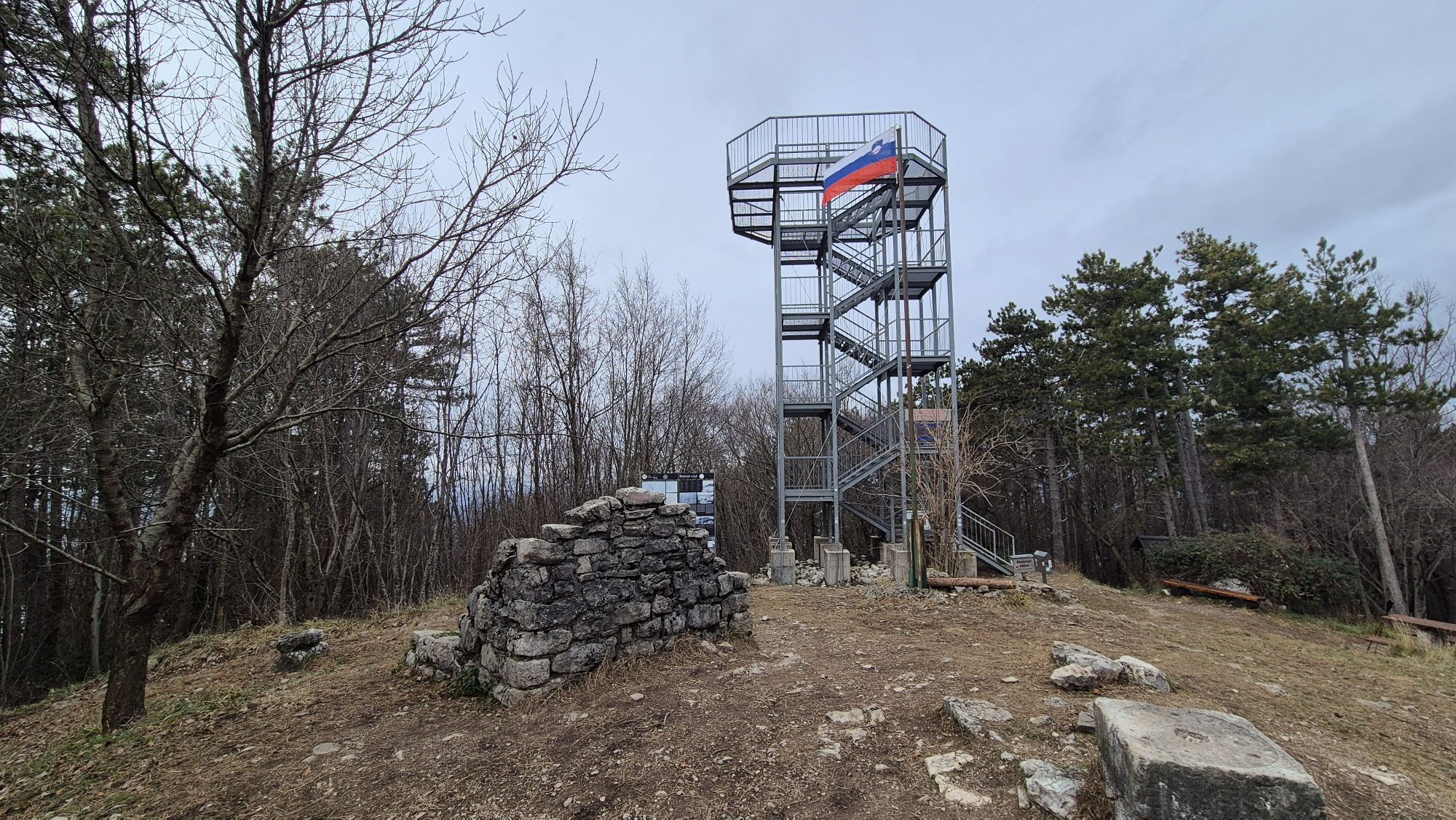
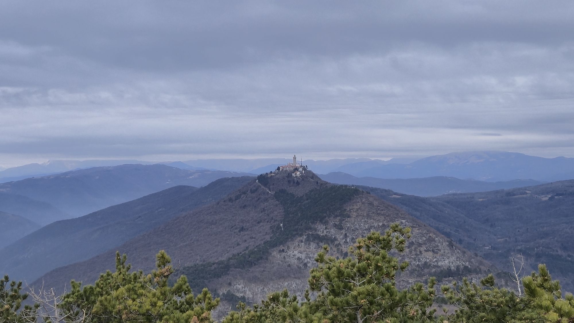
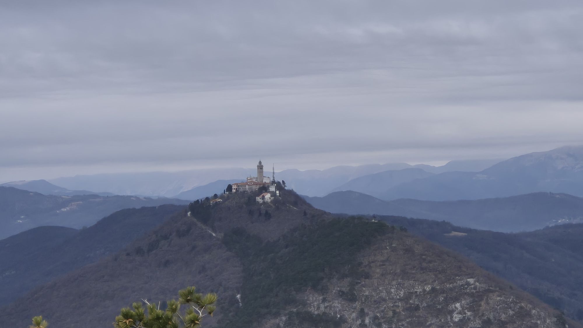
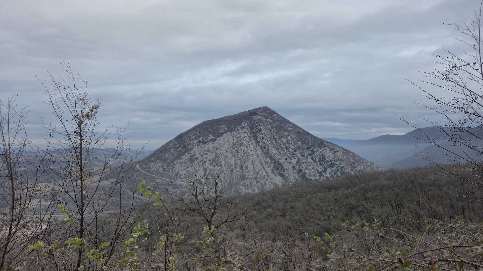
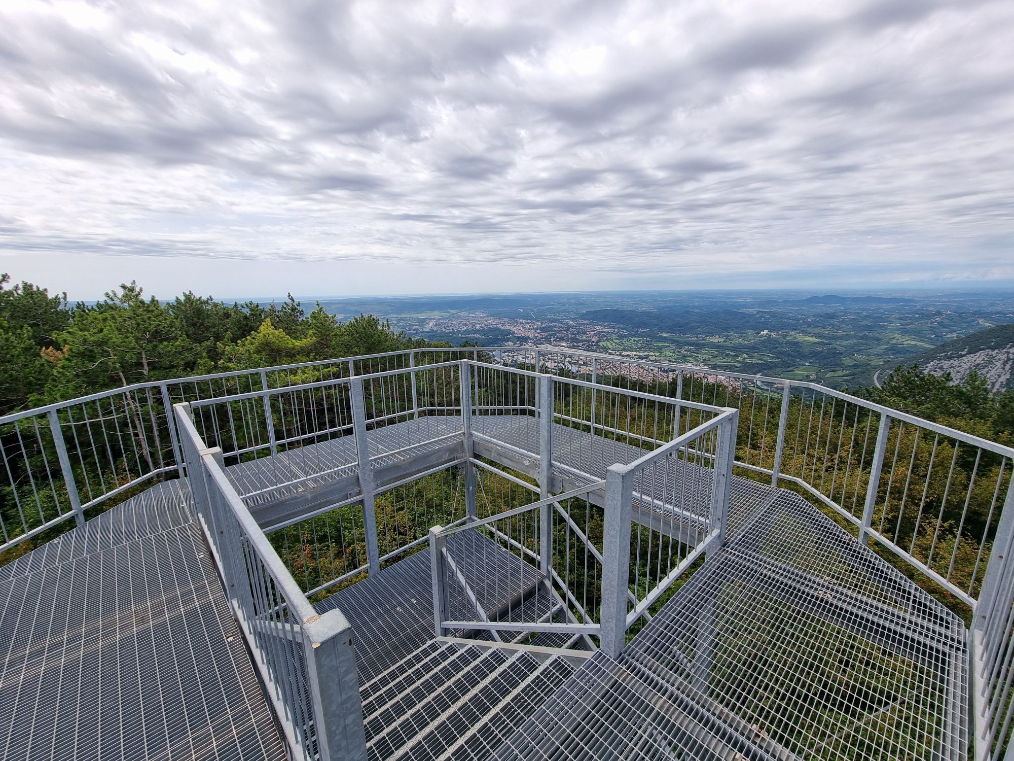
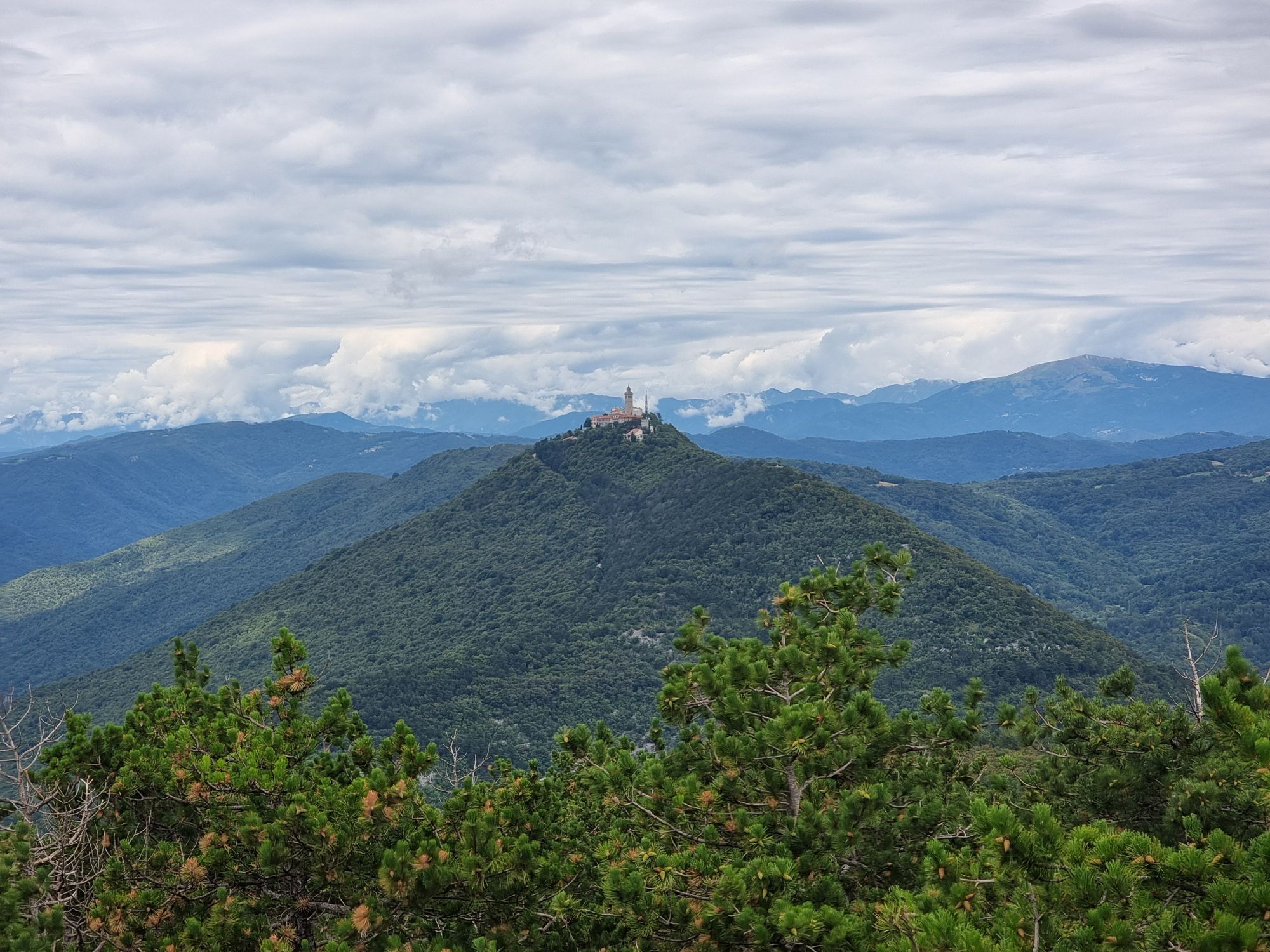
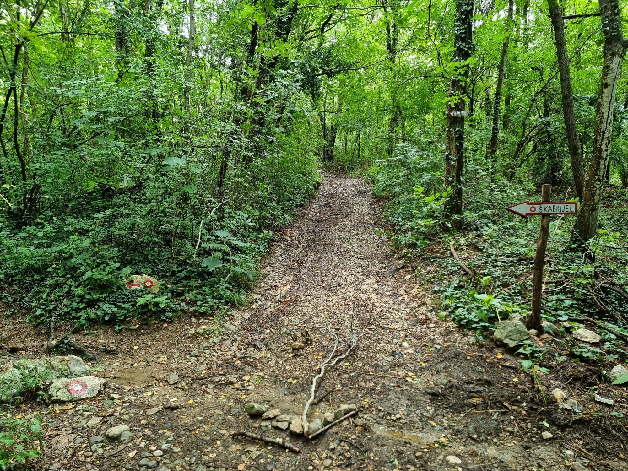
Three different open-air museums enrich this decidedly challenging stage of the Walk of Peace: the one at Prižnica (also called hill of death), the one at Vodice, and the one at Škabrijel (San Gabriele)....
Three different open-air museums enrich this decidedly challenging stage of the Walk of Peace: the one at Prižnica (also called hill of death), the one at Vodice, and the one at Škabrijel (San Gabriele). They will lead the hiker to confront both magnificent landscapes and remains of trenches and fortifications dating back to the Great War. These relics allow you to get an idea of what the reality of war was like in the points where some of the most violent and bloody battles in the area were fought. From there, you proceed to Gorizia and Nova Gorica where the stage ends at Piazza della Transalpina/Trg Evrope, the square that symbolizes friendship and cooperation between two nations.

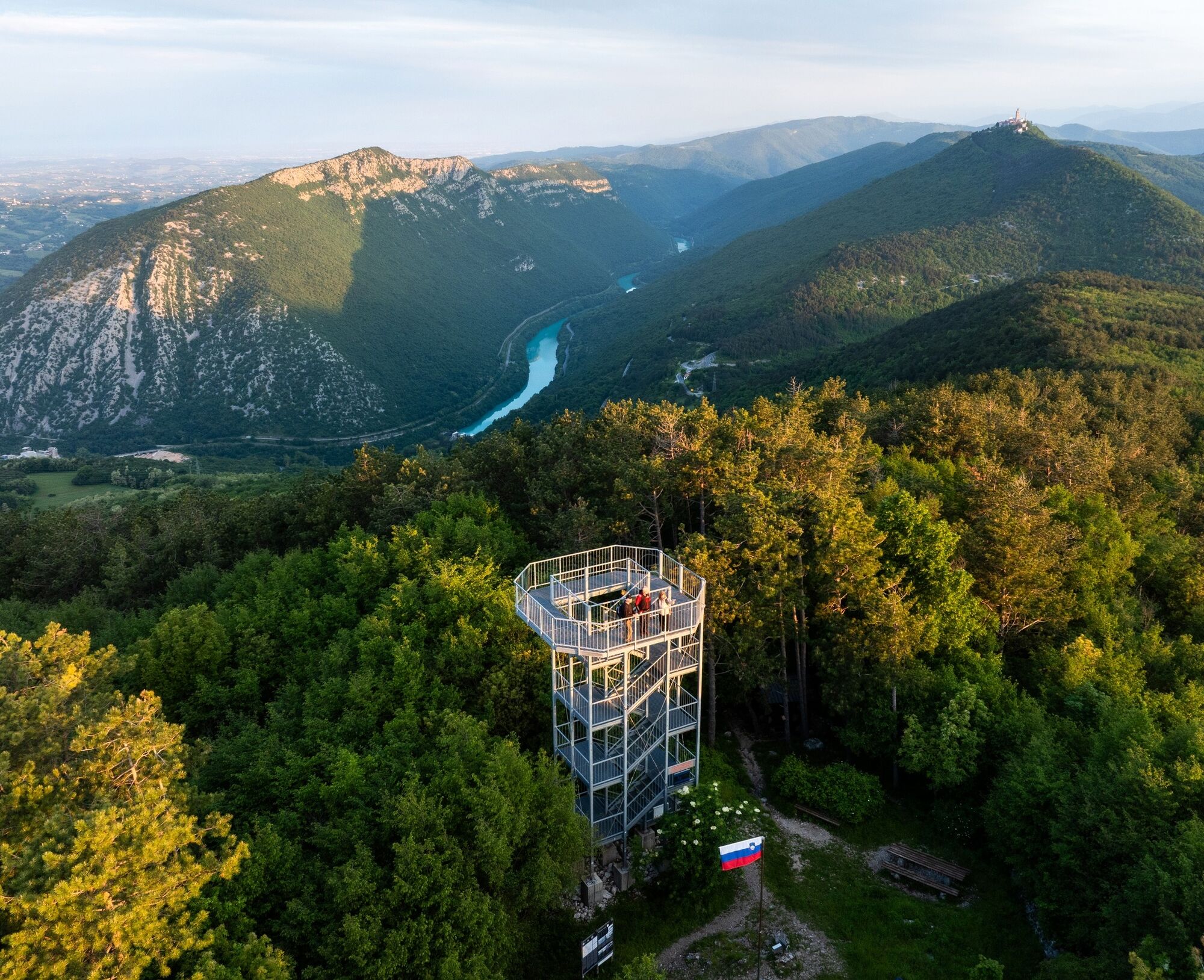
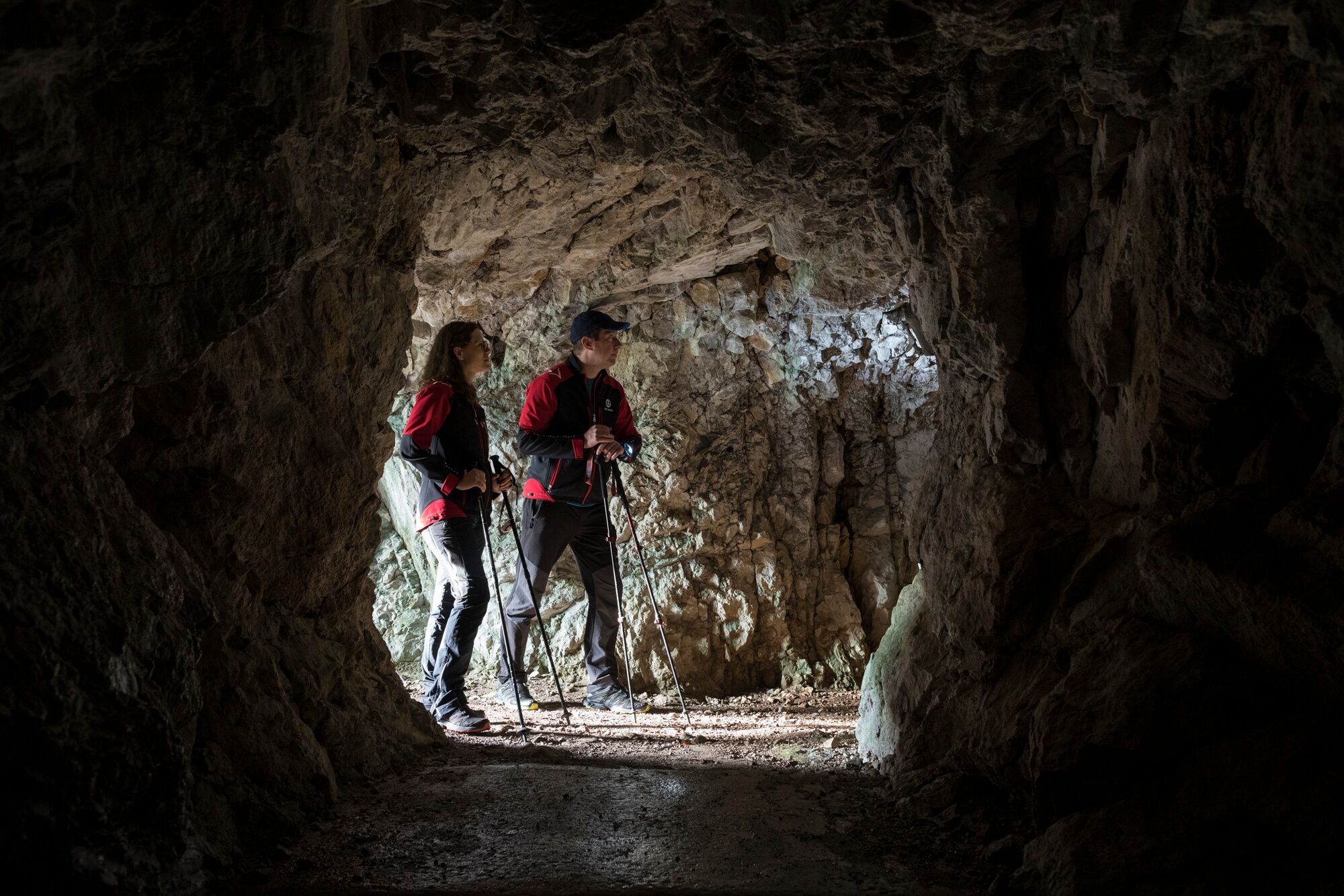
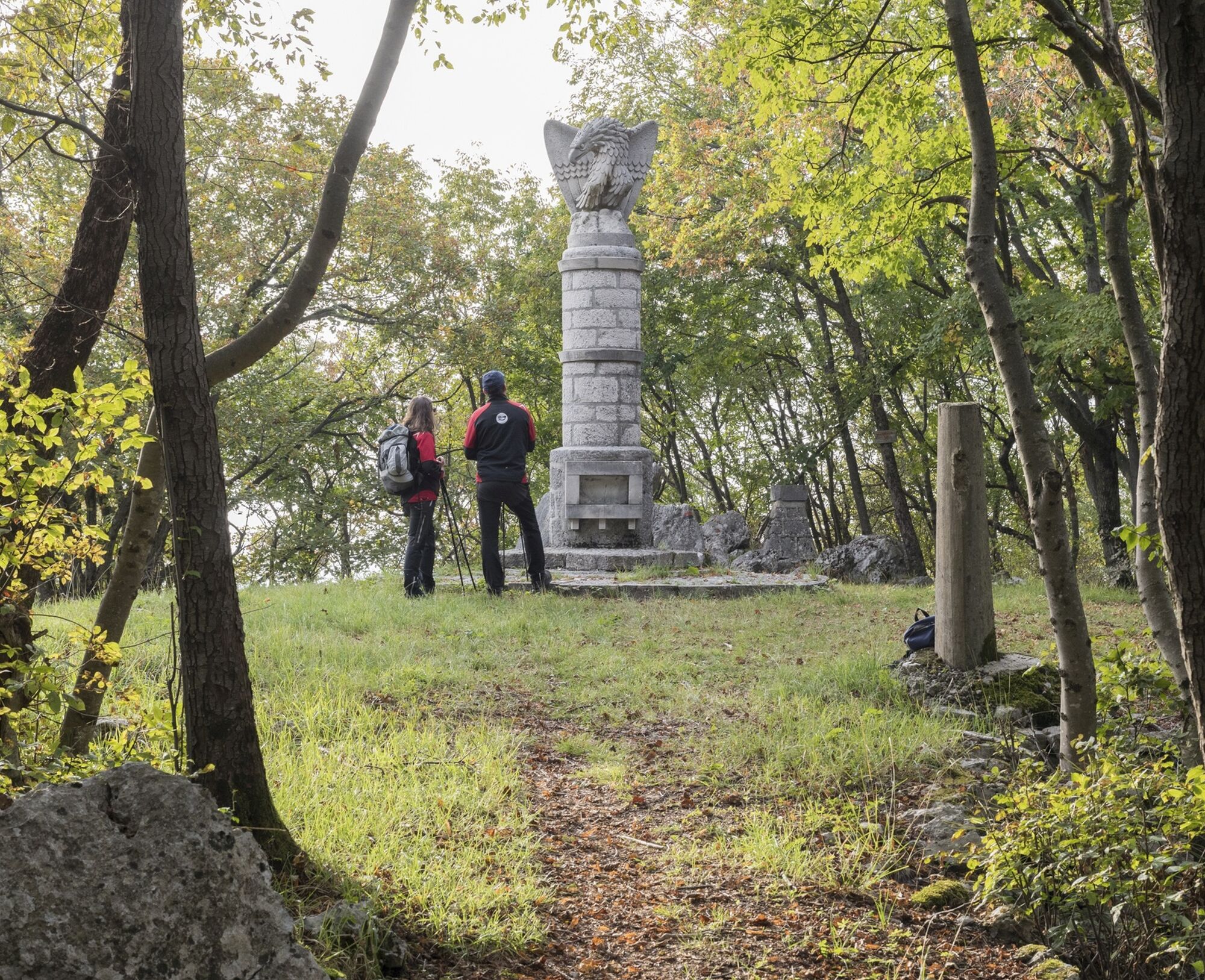
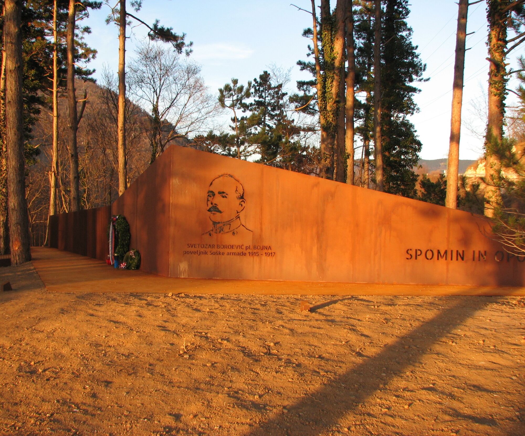

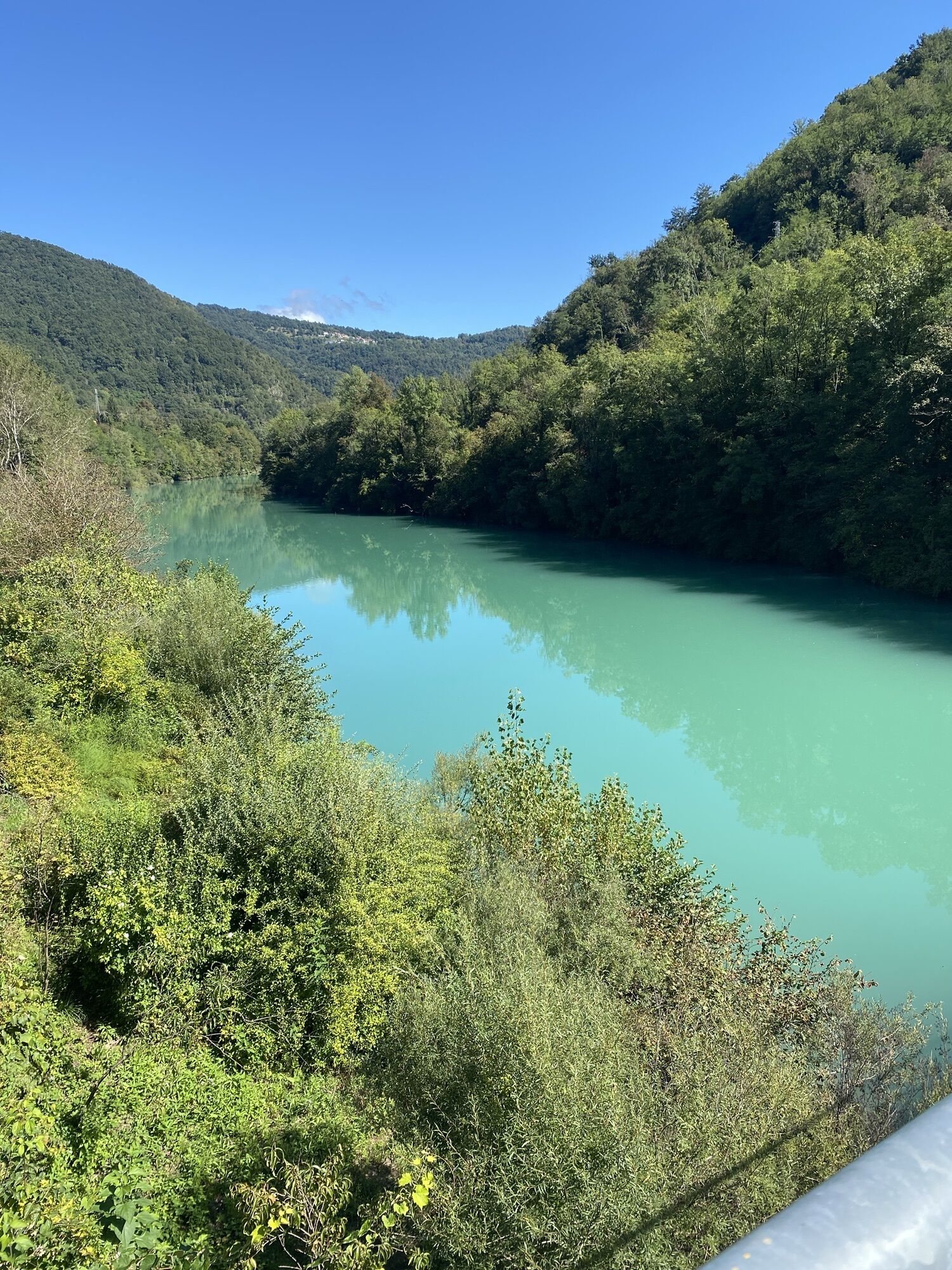
The route starts from Plave and, after crossing the SoÄa (Isonzo) river, continues towards Paljevo. Here, shortly after, it turns onto the old war trail where the remains of the front line of both sides are visible and it climbs towards the summit of Prižnica. Then it descends to some Austro-Hungarian caves up to the church of San Quirino. From there it reaches the Vodice Open-Air Museum, with its extensive cave system. A new descent leads to the Preški vrh pass and the sanctuary of Sveta Gora (Holy Mountain) up to Prevala, where two commemorative parks are located. A new ascent leads to the summit and the Škabrijel Open-Air Museum, the scene of bloody clashes. The stage ends descending towards Solkan and reaching Piazza della Transalpina/Trg Evrope which unites Nova Gorica and Gorizia.
Tak
Tak
Trekking shoes and clothing, packed food and drinks, flashlight, trekking poles, helmet
Given the challenging route, it is recommended to approach it with good physical preparation and plenty of water and food supplies.
Rail connections:
Jesenice–Most na SoÄi–Plave–Nova Gorica
Bus connections:
Tolmin–Plave–Nova Gorica
Nova Gorica–Grgar
Urban buses in Nova Gorica
Departure: parking near the Plave railway station
Arrival: parking near the Nova Gorica railway station, Piazza della Transalpina/Trg Evrope
Presso la chiesa sul Monte Santo è disponibile una fontanella di acqua potabile.
To visit the military cemetery near the Solkan (Salcano) road bridge and the homonymous largest stone railway bridge in the world with a span of 85 m.
Uzyskaj wgląd
Zawsze na żywo z ponad 9 500 kamer internetowych. bergfex Jako użytkownik Pro, możesz teraz zobaczyć odpowiednie kamery internetowe dla wielu wycieczek w aplikacji wycieczki od. Pozwala to na bezpośredni podgląd aktualnych warunków.
Popularne wycieczki w okolicy
-
3,7
Trail to the natural stone bridge Skozno
światłoWędrówka 5,62 km -
4,0
Rundgang von Cormons
światłoWędrówka 7,31 km -
4,7
Etappe 30 Alpe-Adria-Trail: Breg bei Golo Brdo - Šmartno
średnidługodystansowy szlak pieszy 27,4 km -
Trasa Gorycja - Kanał (SLO) (P004)
średniKolarstwo długodystansowe 22,2 km -
Collio - Pierścień Brda (R014)
średniKolarstwo długodystansowe 60,6 km -
SOČA VALLEY I6: Kanal - Most na Soči
średniJazda na rowerze 14,5 km -
Szlak rowerowy - Brda, dolina Vipavy, Kras
ciężkiJazda na rowerze 93,3 km -
Szlak Vigne Alte: pełna pętla z Pradis, Spessa i Subida
średniWędrówka 14,0 km -
JULIANA TRAIL – stage 20: Šmartno - Solkan
ciężkiWędrówka 13,3 km -
Along the Border
światłoJazda na rowerze 21,4 km
Wędrówki i tropienie


Nie przegap ofert i inspiracji na następne wakacje
Twój adres e-mail została dodana do listy mailingowej.





