







Gradiška Tura (via ferrata) – Abram
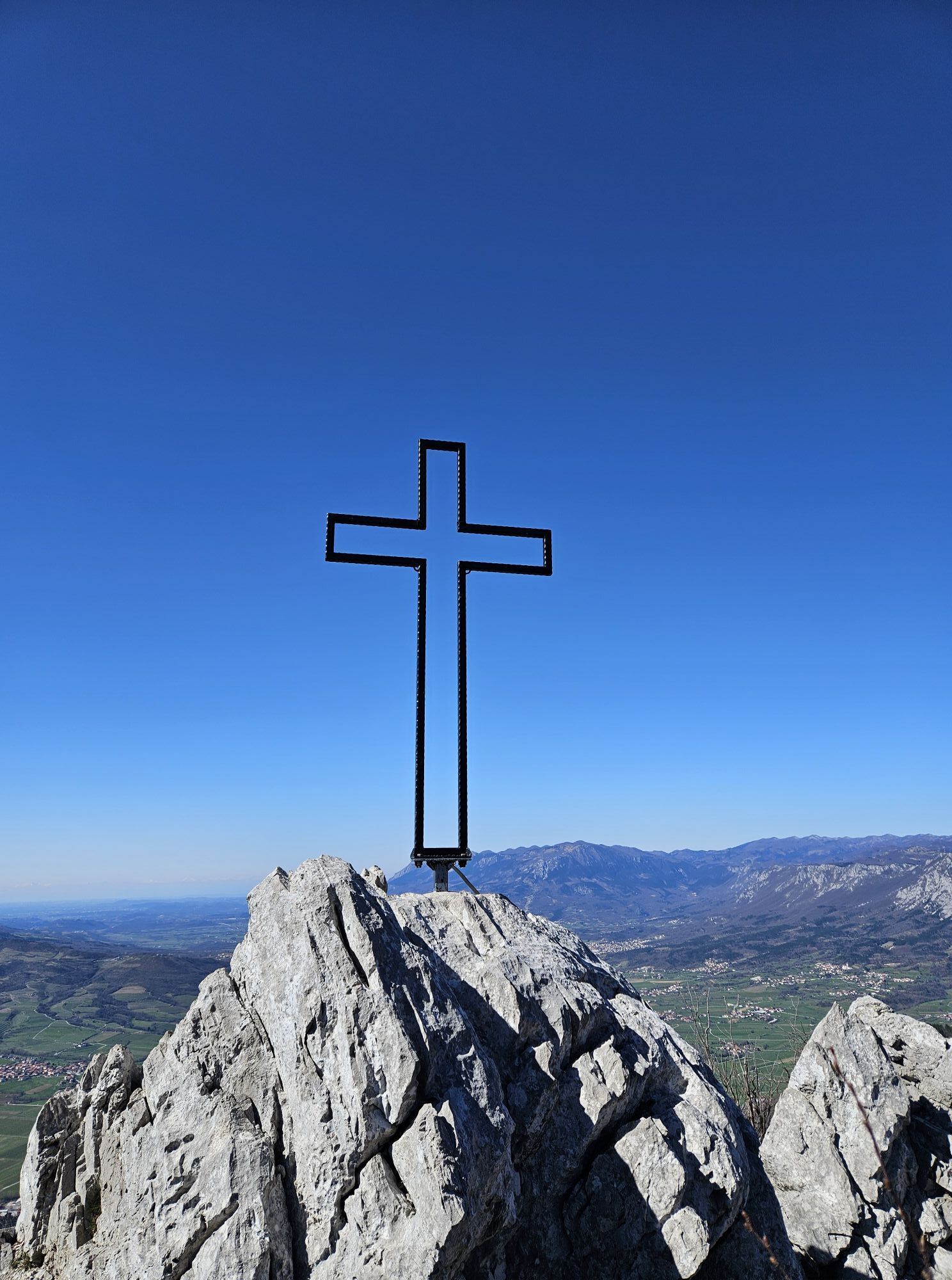
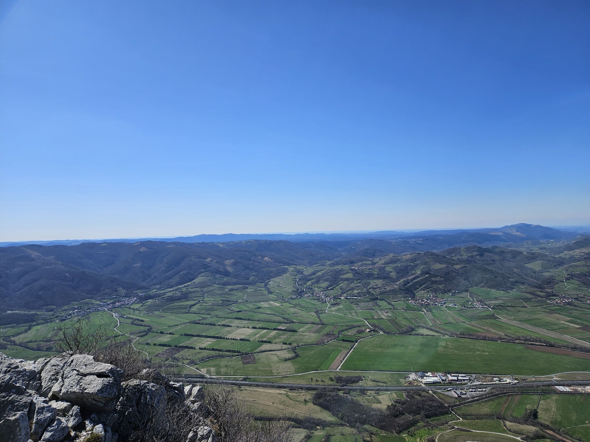
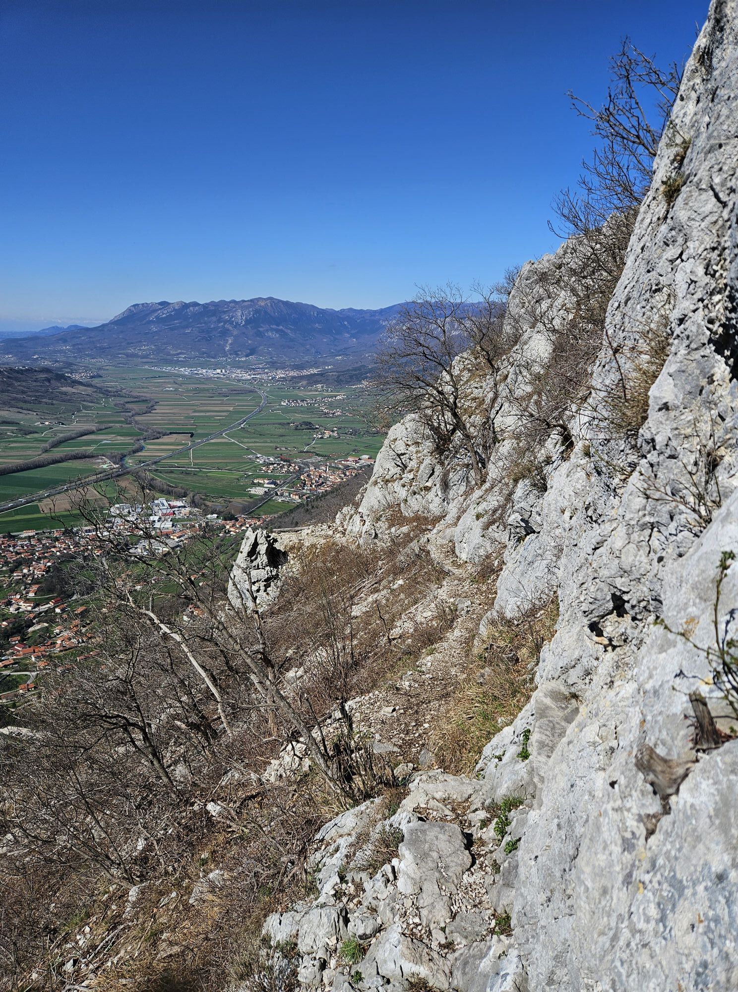
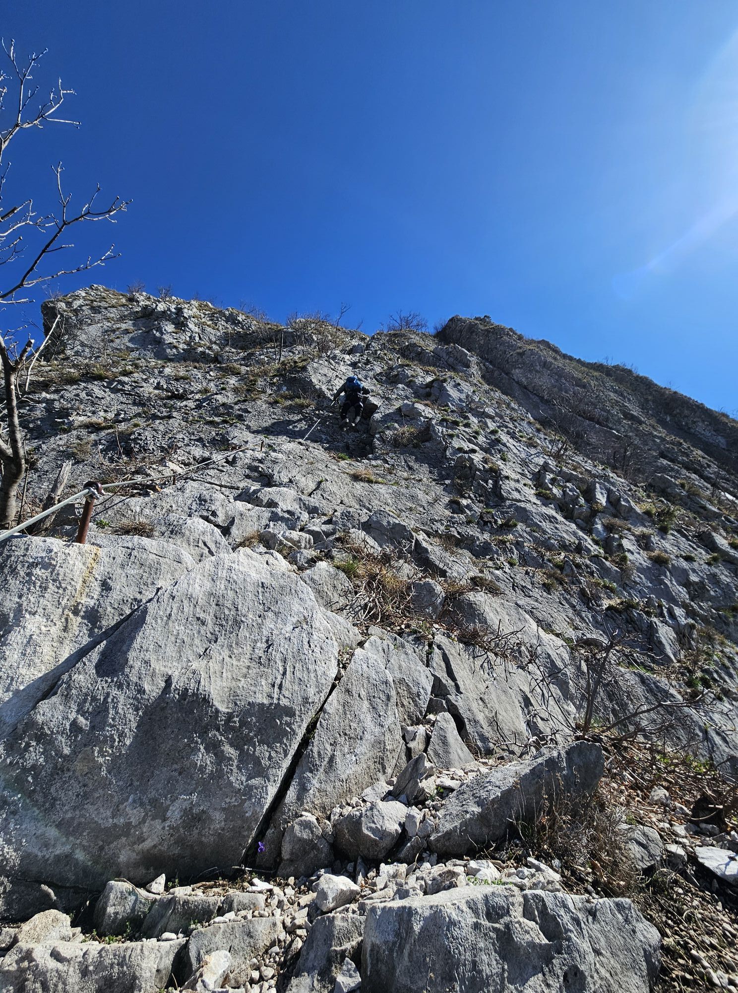
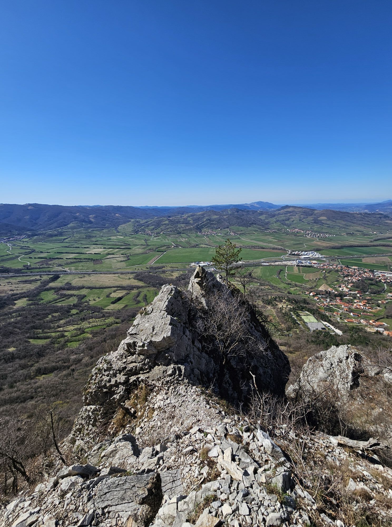
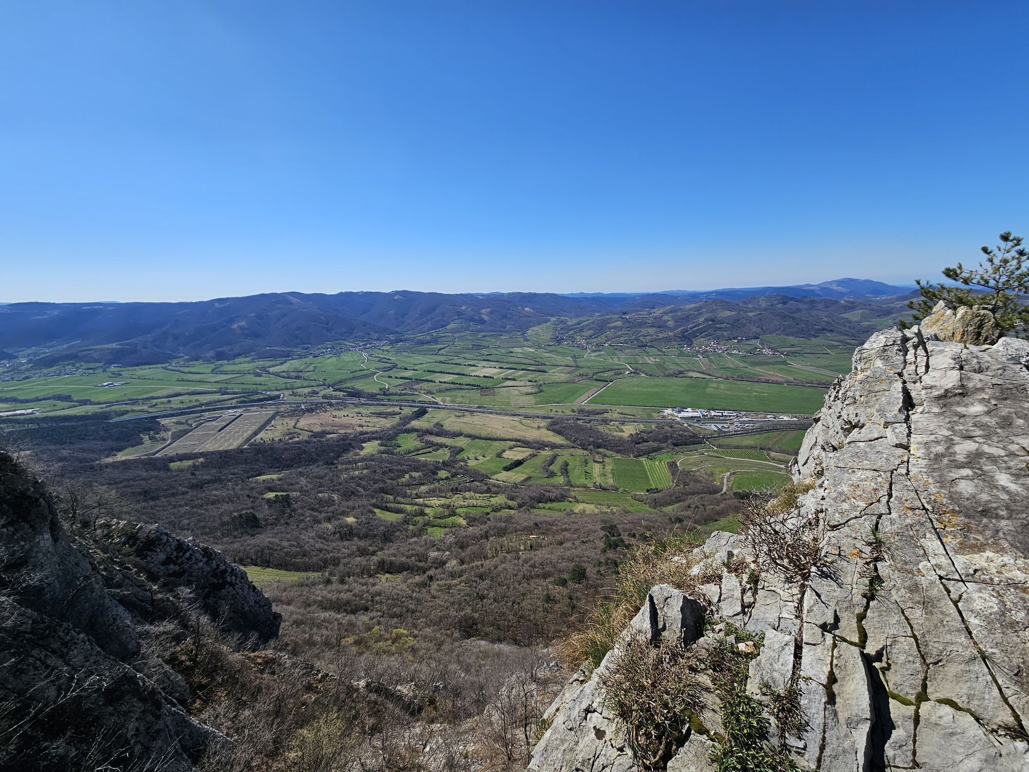
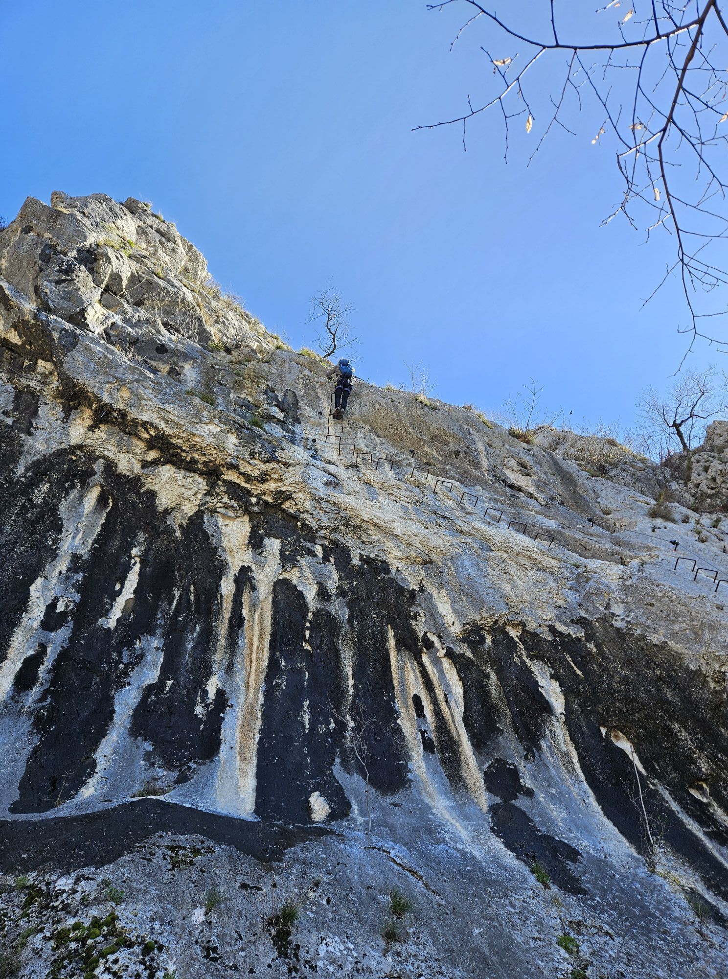
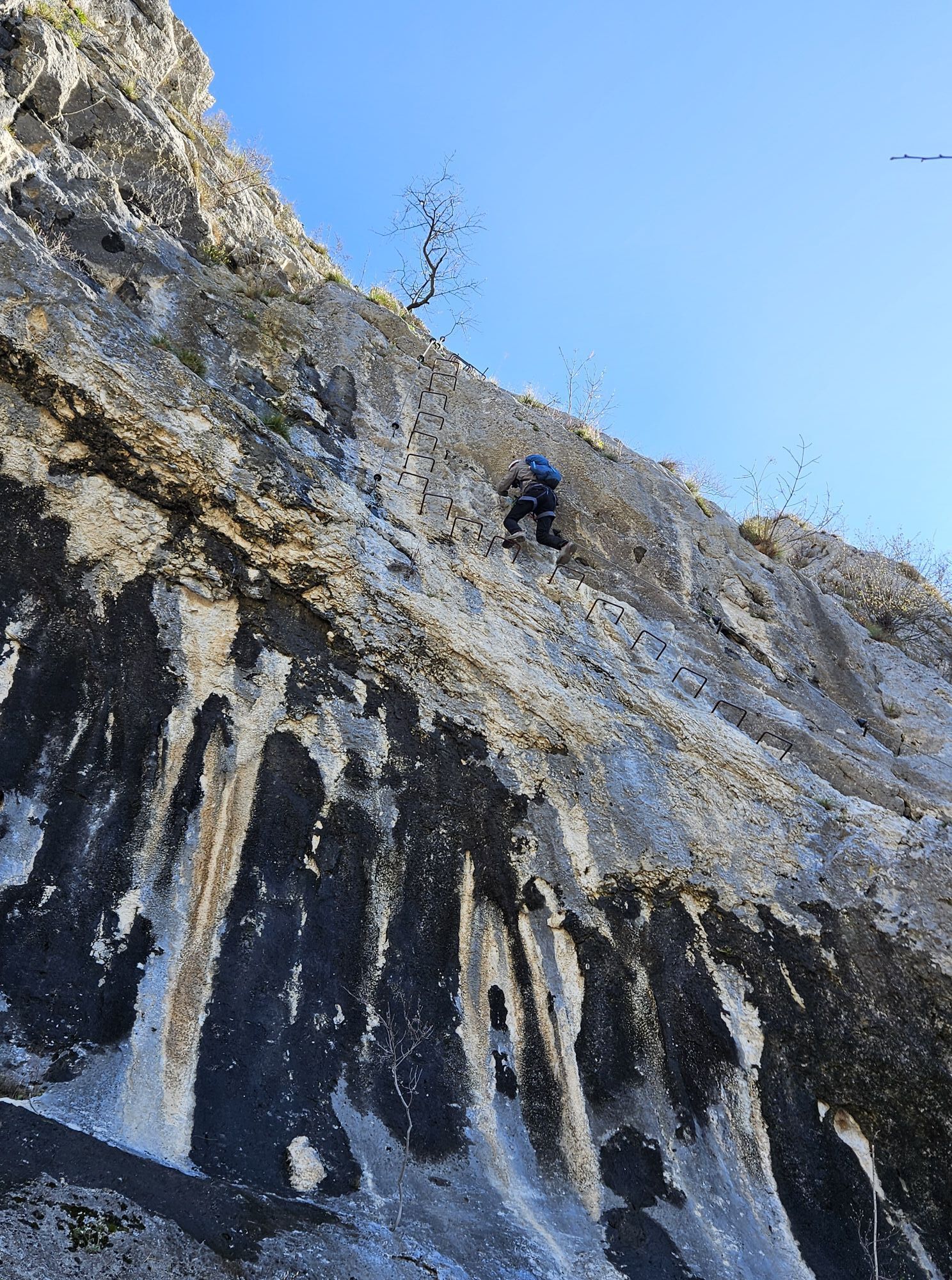
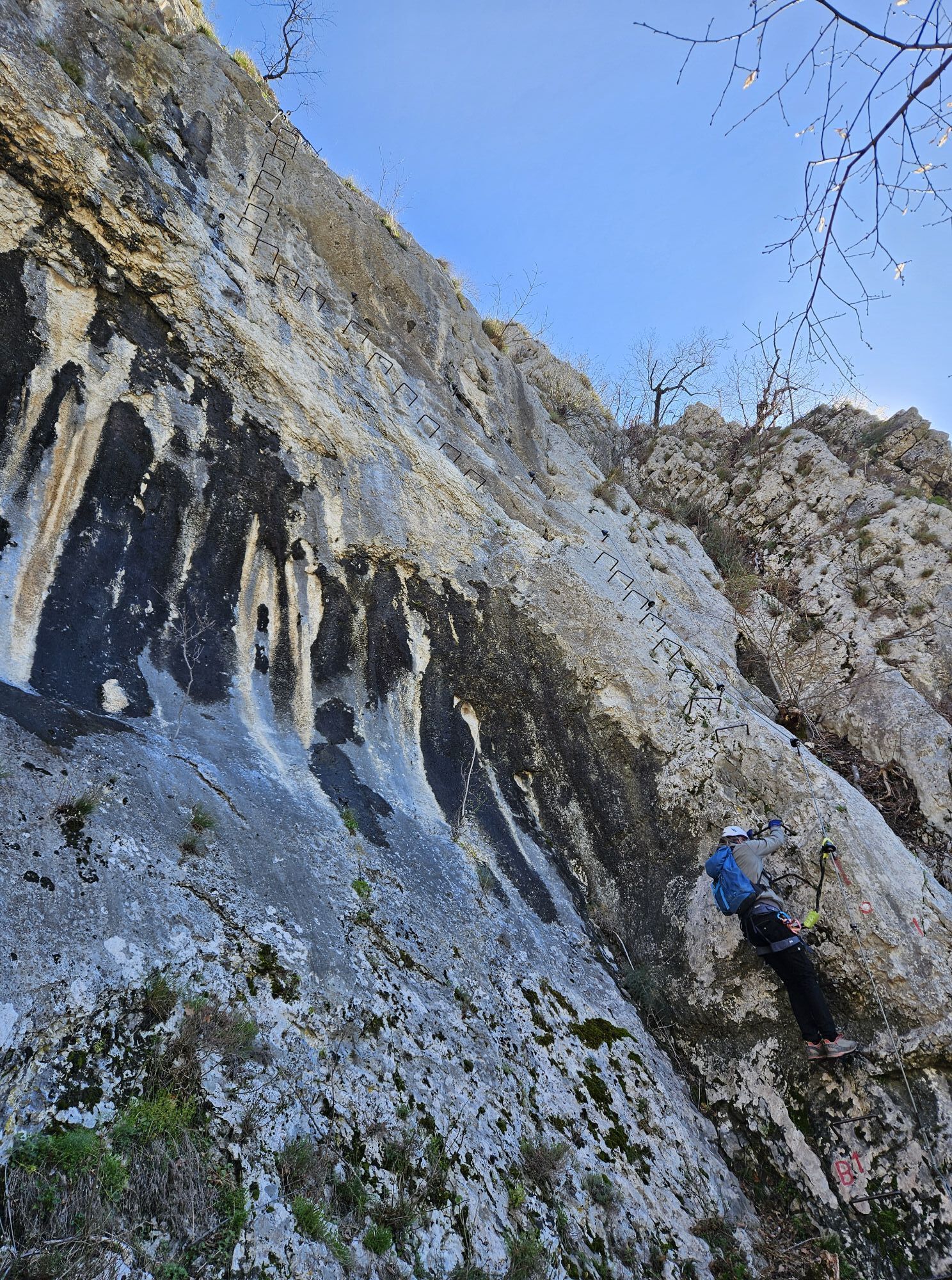
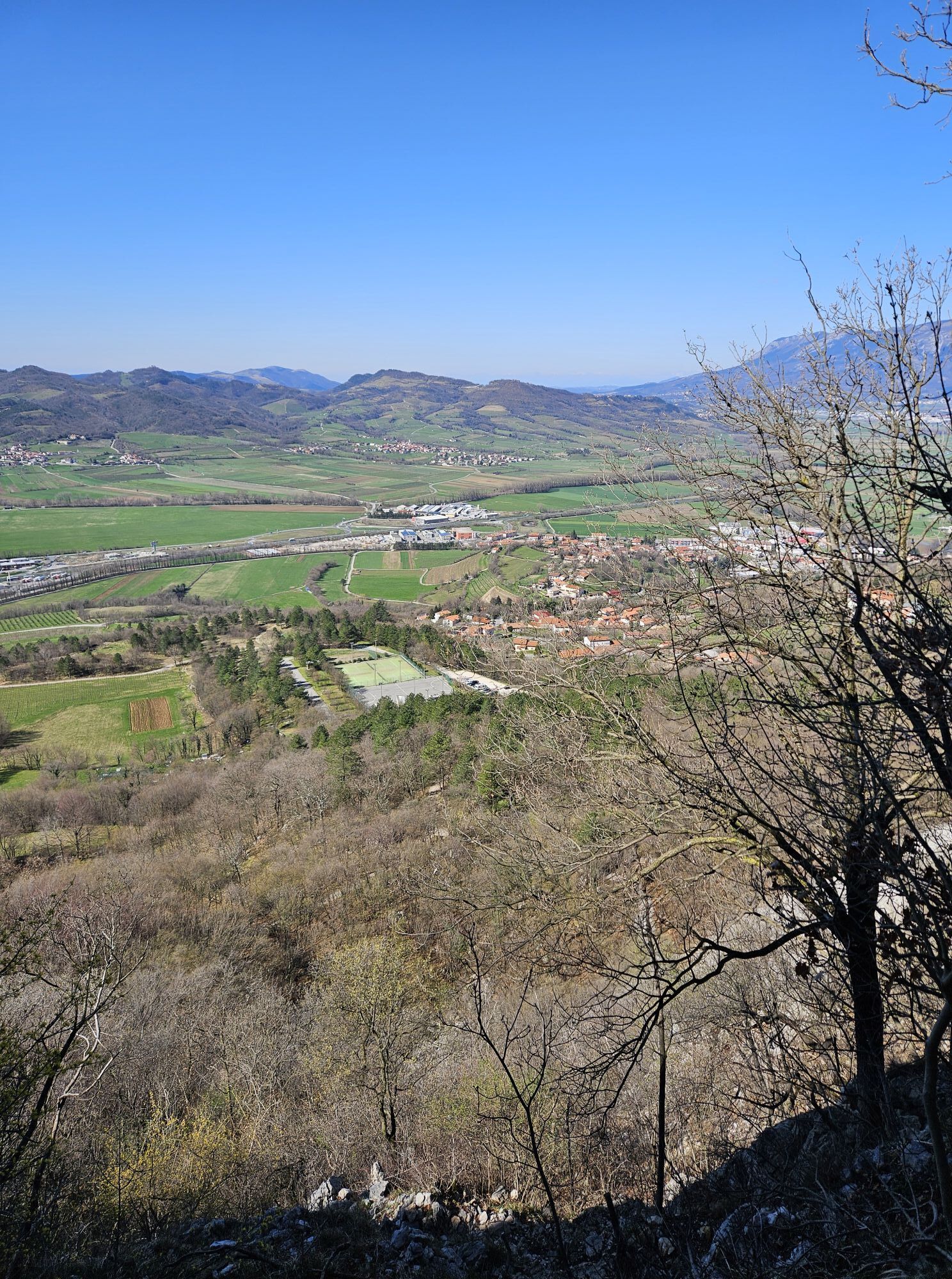
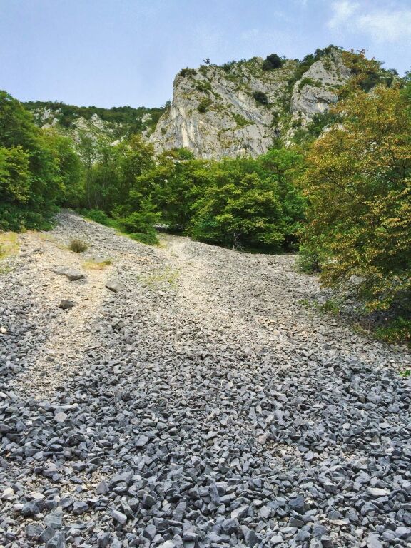
The trail leads from the parking lot to a fork, across some scree and a slope overgrown with shrubs. Throughout the hike follow the signs for “zelo zahtevna zavarovana pot”, meaning “extremely demanding...
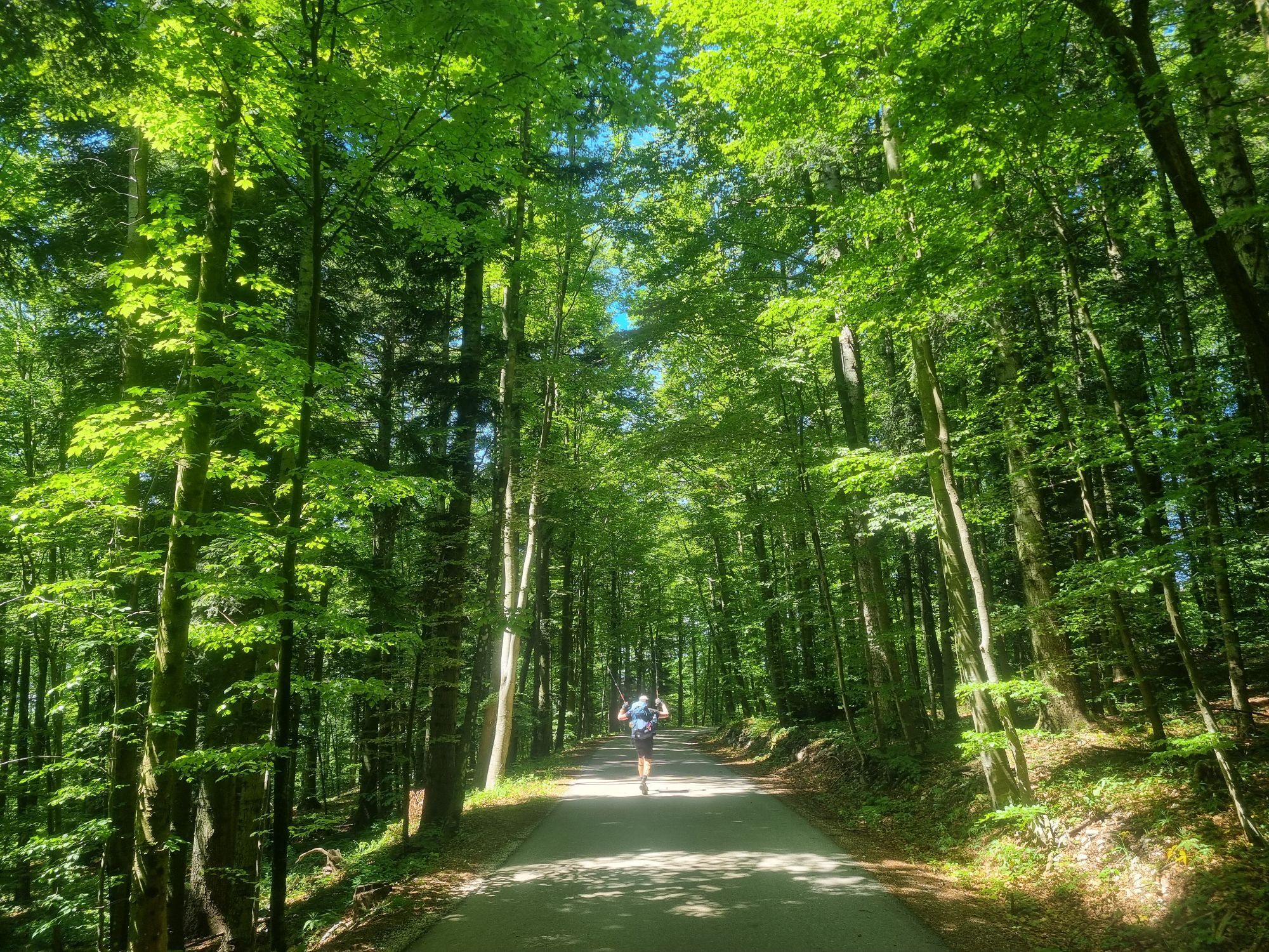
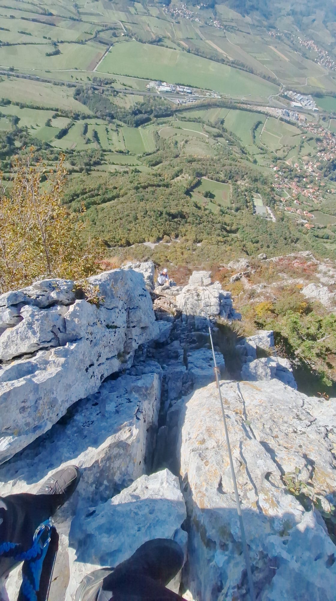
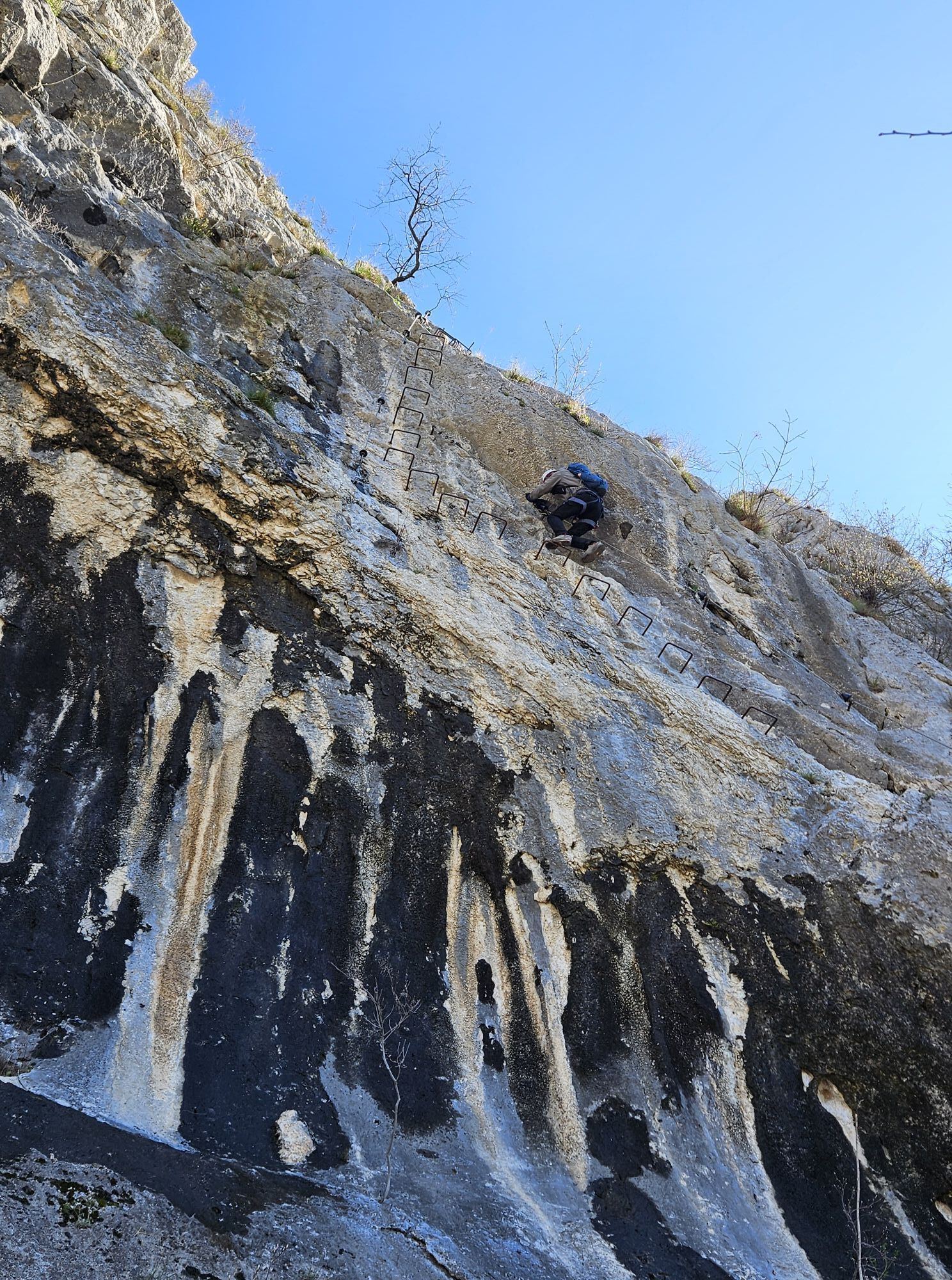
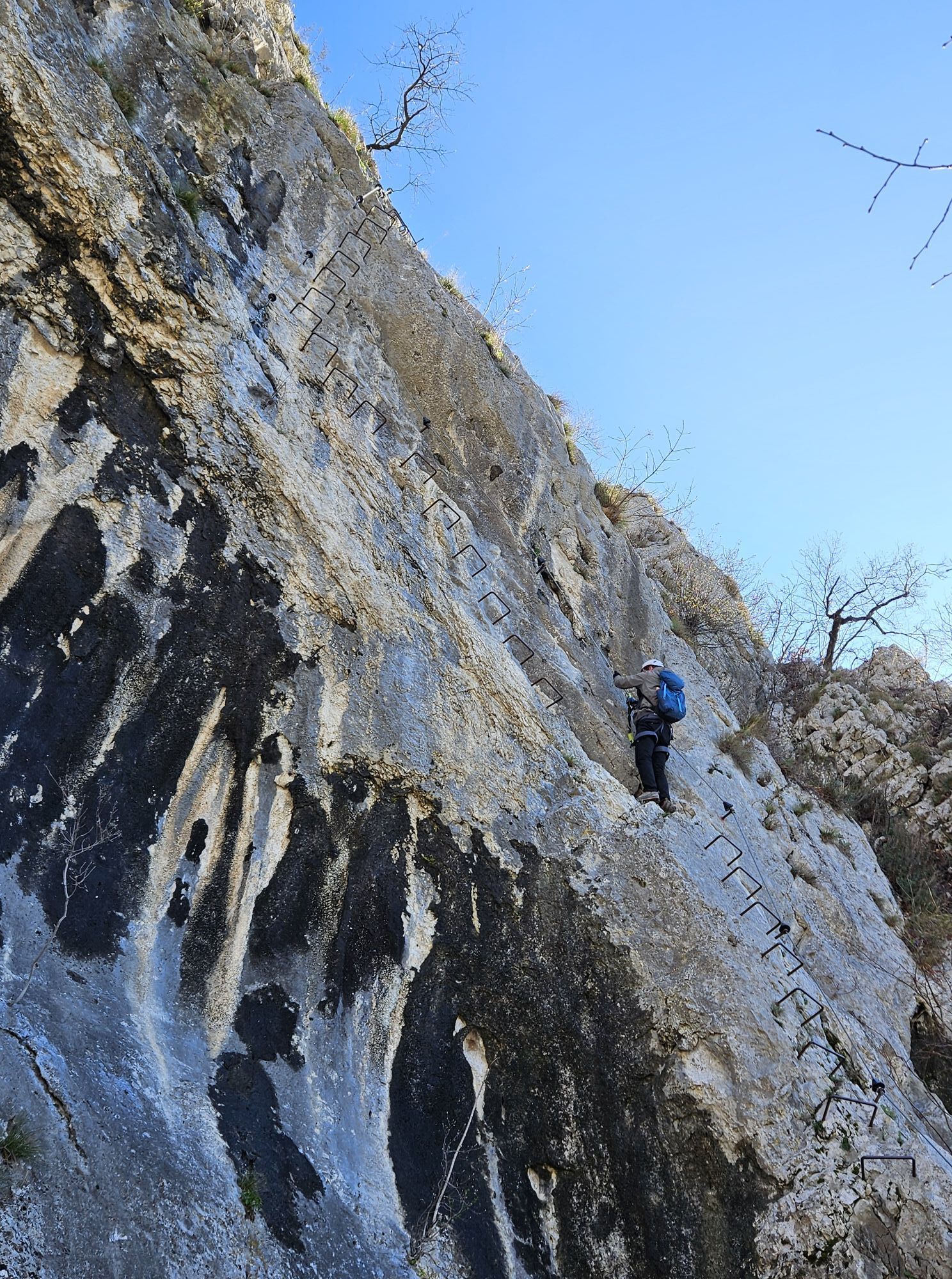
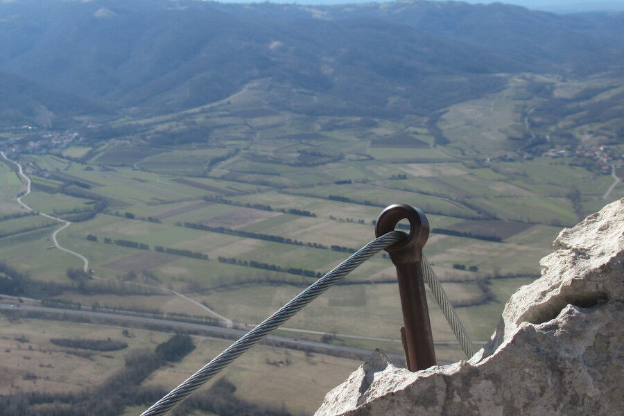
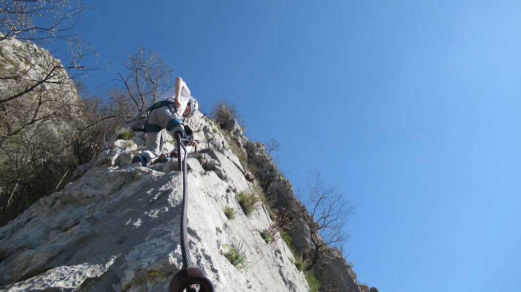
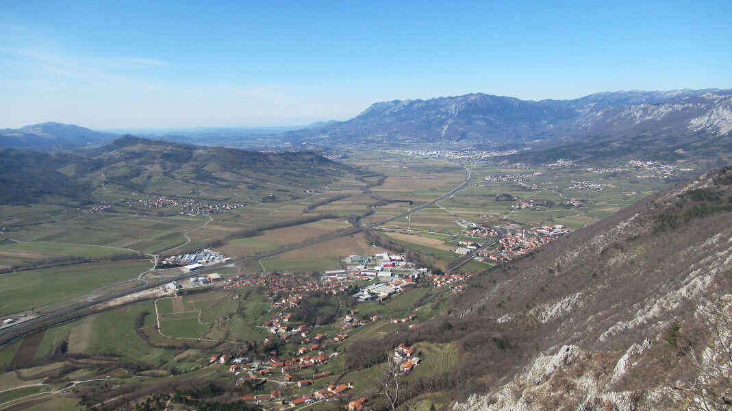
The trail leads from the parking lot to a fork, across some scree and a slope overgrown with shrubs. Throughout the hike follow the signs for “zelo zahtevna zavarovana pot”, meaning “extremely demanding protected trail”. Under the foot of a large wall you will start the steep climb, protected by 77 pegs and 120 m of steel cable. During the climb you will reach a scenic platform, where you can take in the whole upper Vipava Valley. The trail continues along a narrow ridge, which also has steel cables to hold on to. After reaching the top of the ridge the trail is not as demanding anymore. Soon after you will find yourself atop Gradiška Tura, where you can sign the guest book and get their stamp for your collection. The summit provides a gorgeous view of the lower part of the valley, while the vineyards dotting the Vipava hills seem almost close enough to touch. Eastward you continue along the well-marked path through the woods to Furlan’s mountain refuge, where you will find the well-known agritourism farm Abram. After the farm you will come back the way you came, towards Gradiška Tura, but at the fork you will take the sign for “Plaz”, with an easy trail leading back to the starting point at Tura Campsite above GradišÄe pri Vipavi.

Suitable footwear, climbing helmet and via ferrata set

Popularne wycieczki w okolicy
- 4,6
Nanos
średniWędrówka 7,51 km - 4,0
Naturalne okno Otlica
średniWędrówka 10,5 km - 5,0
Razdrto - Pleša - Vojkova koča na Nanosu
średniWędrówka 5,45 km - 5,0
Edge route
światłoWędrówka 14,5 km The Way of St. James
średniWędrówka 126,6 kmEducational Trail along the River Hubelj
światłoWędrówka 3,79 km- 2,0
The Upper Vipava Valley
światłoJazda na rowerze 34,2 km On Vertovec's paths
światłoWędrówka 17,7 km- 5,0
Vipava - Oltar - Gradiška Tura
średniWędrówka 3,85 km The Predmeja Hill and the Gora Plateau
ciężkiDroga rowerowa 36,3 km
Wędrówki i tropienie


Nie przegap ofert i inspiracji na następne wakacje
Twój adres e-mail została dodana do listy mailingowej.





