







Kranjska Gora, Slovenija
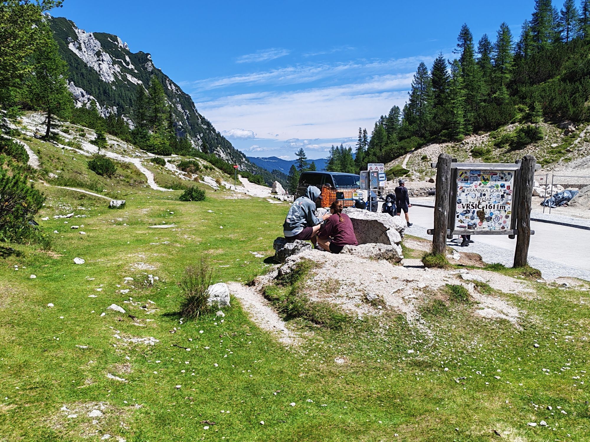
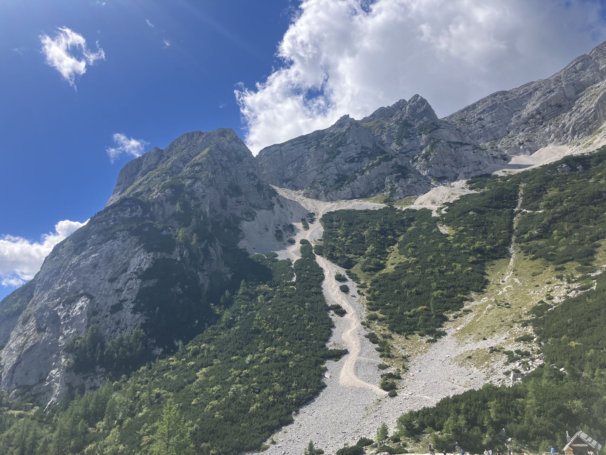
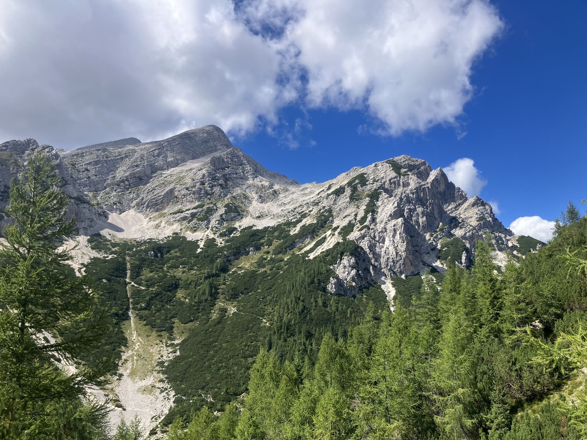
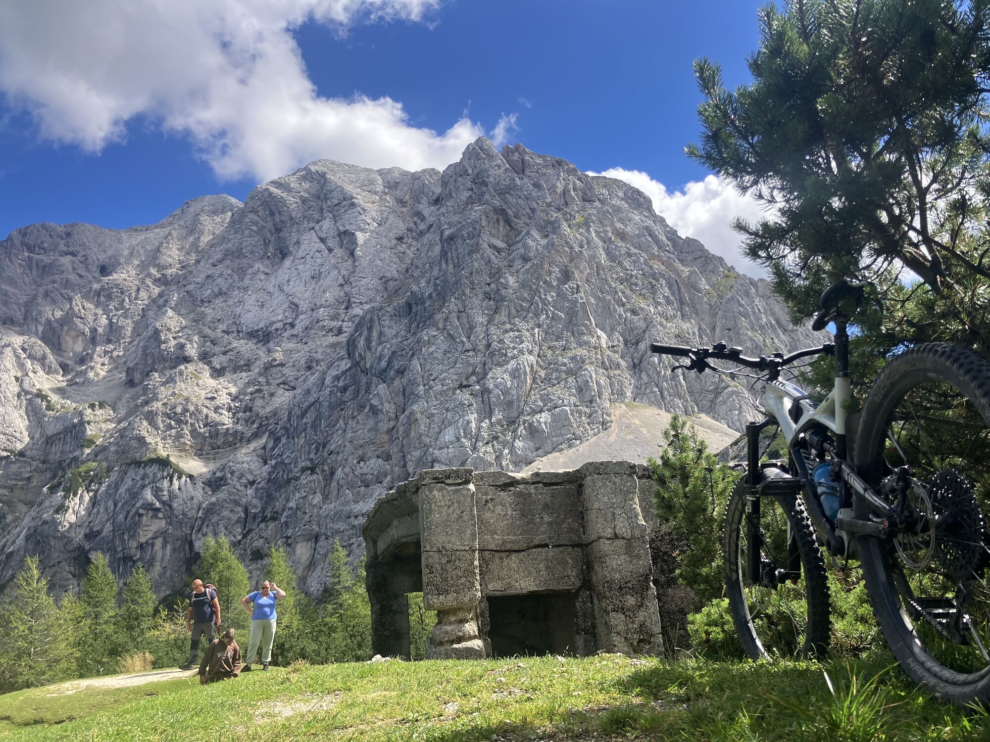
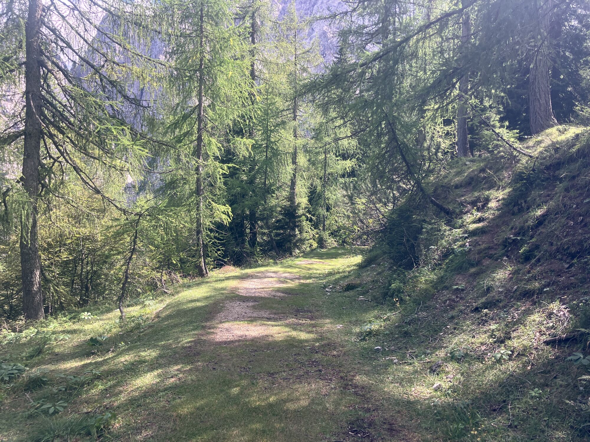
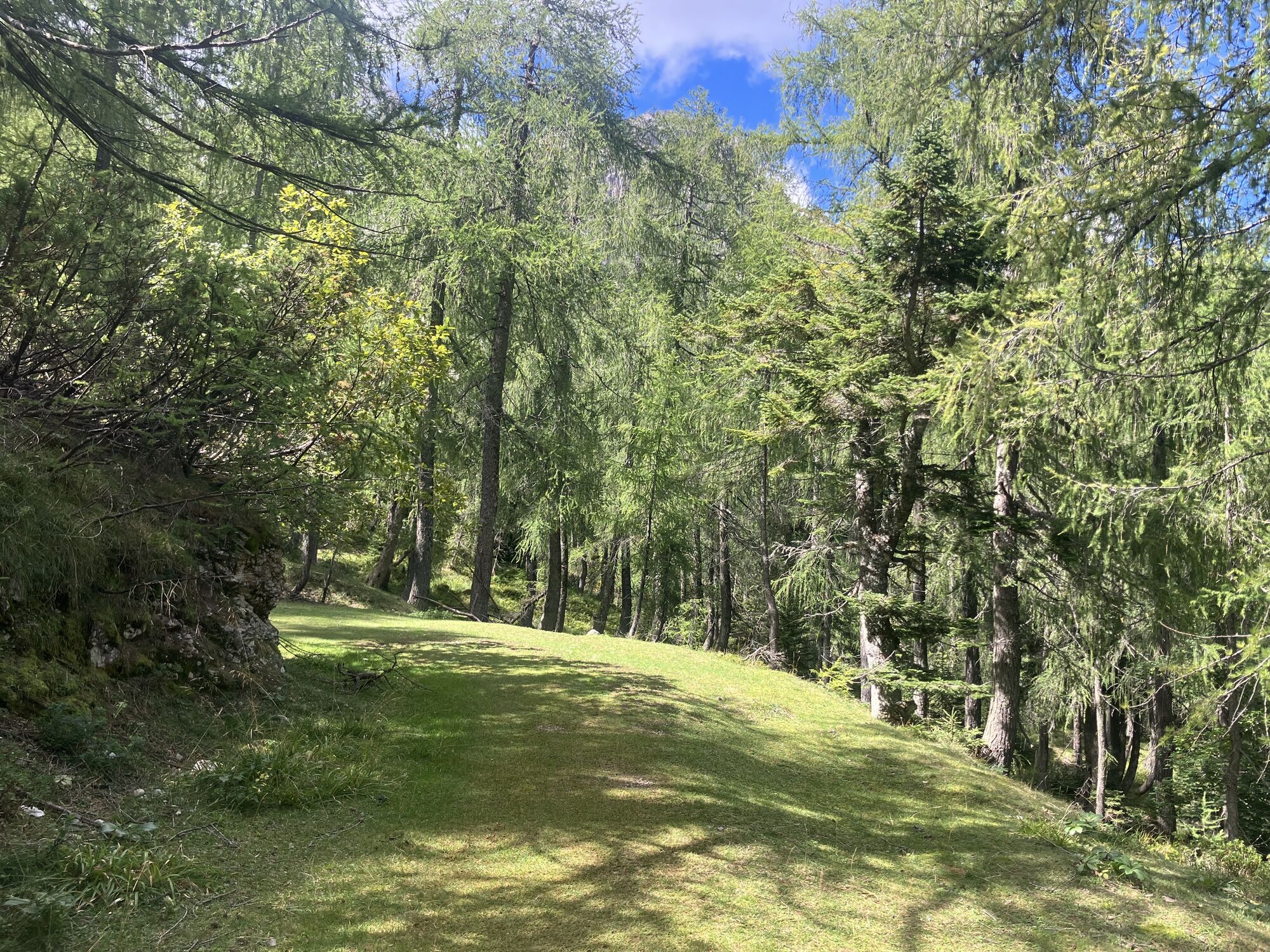
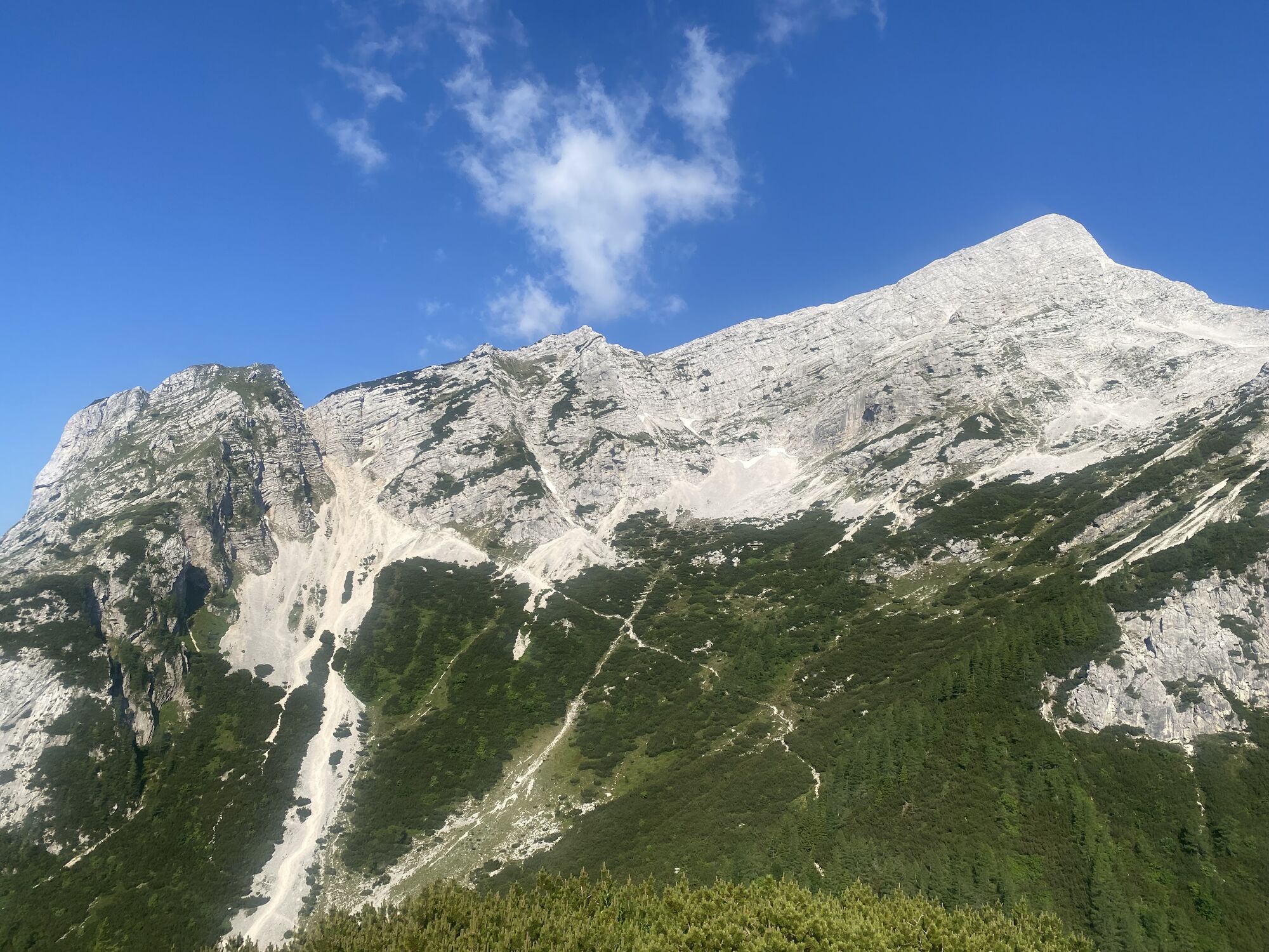
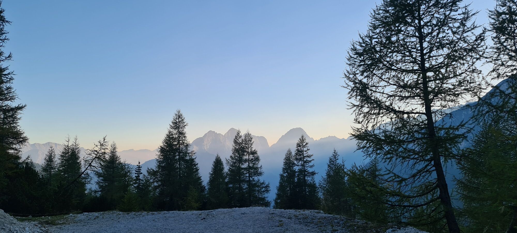
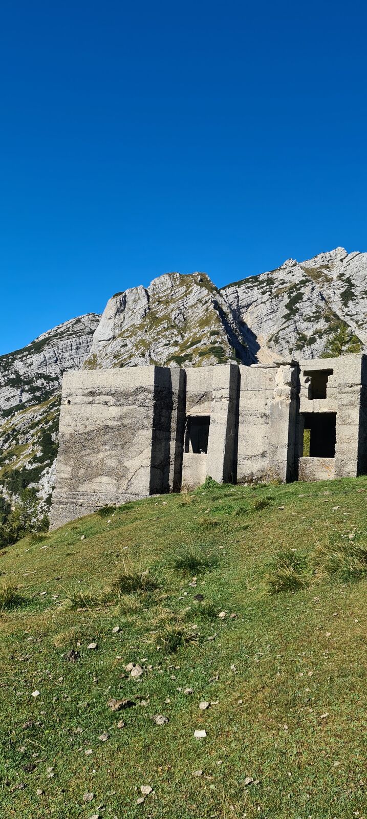
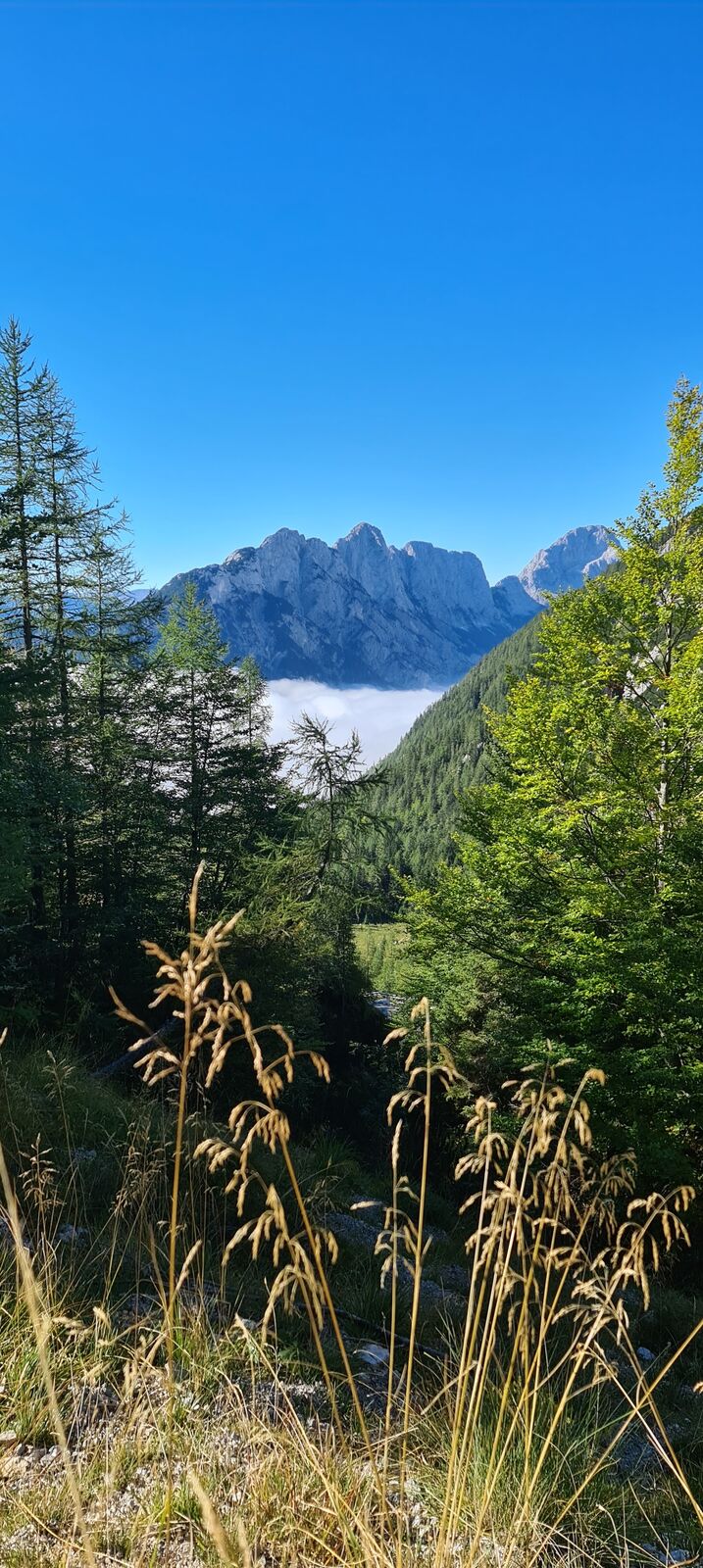
1 hiking tour up to 2 mountains

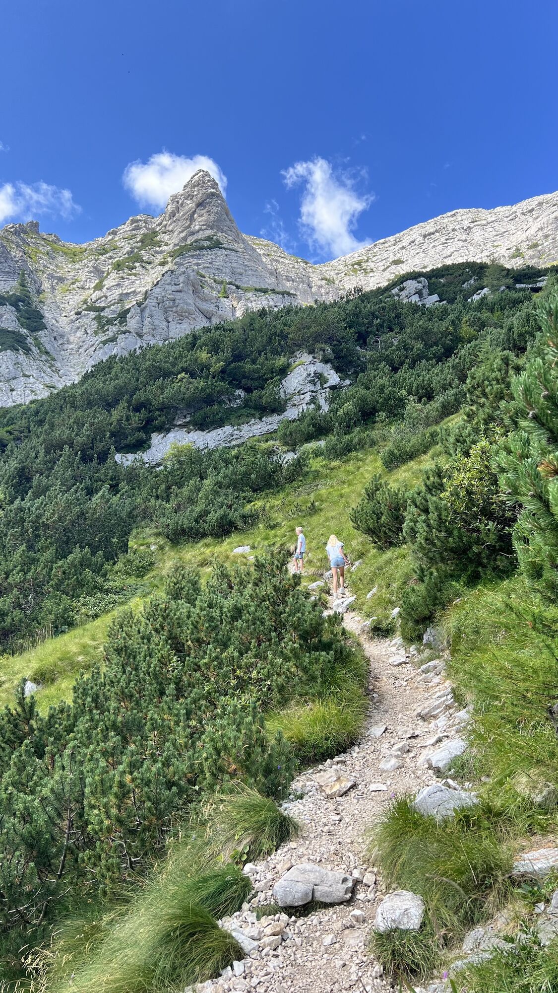
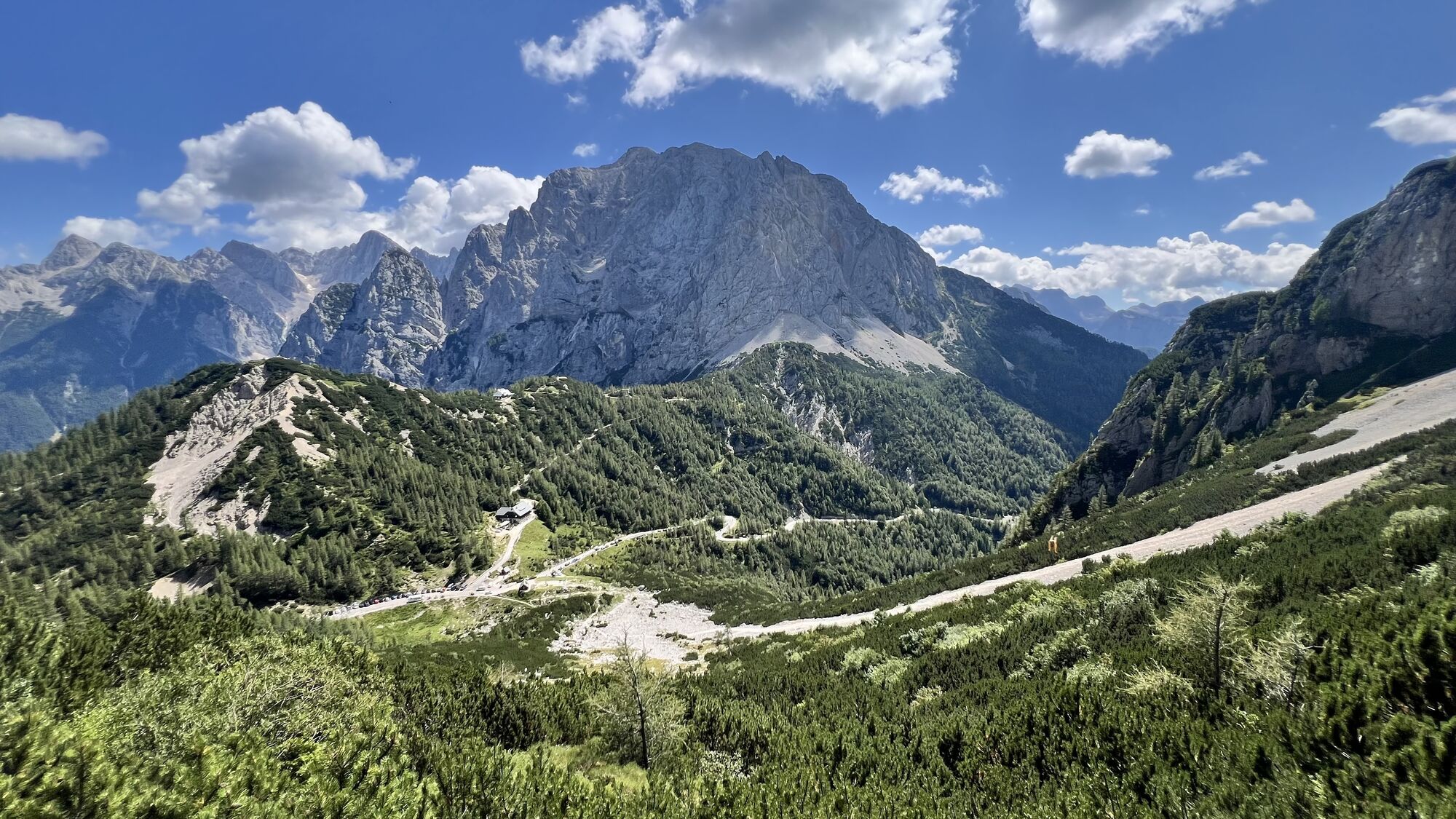
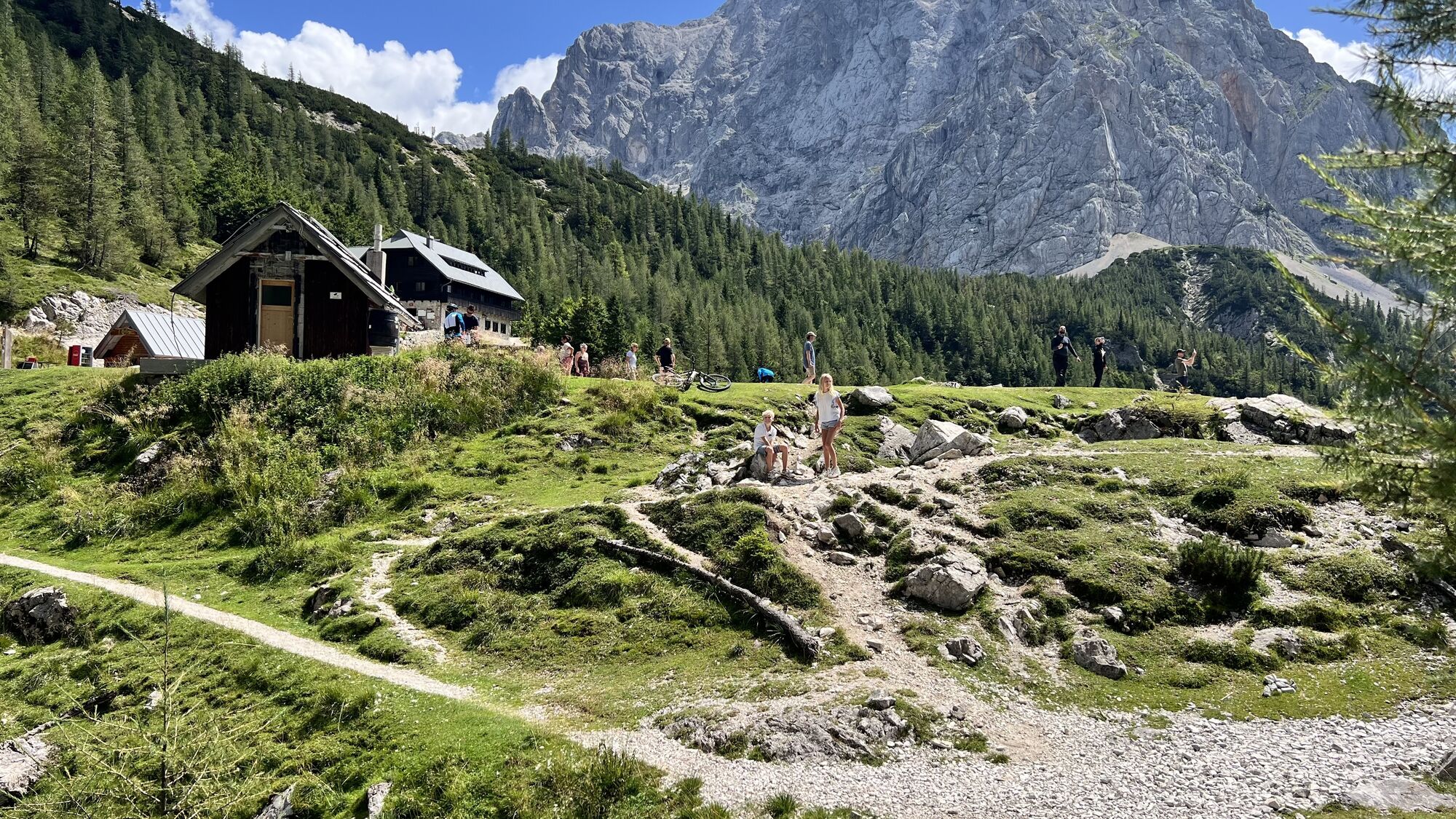
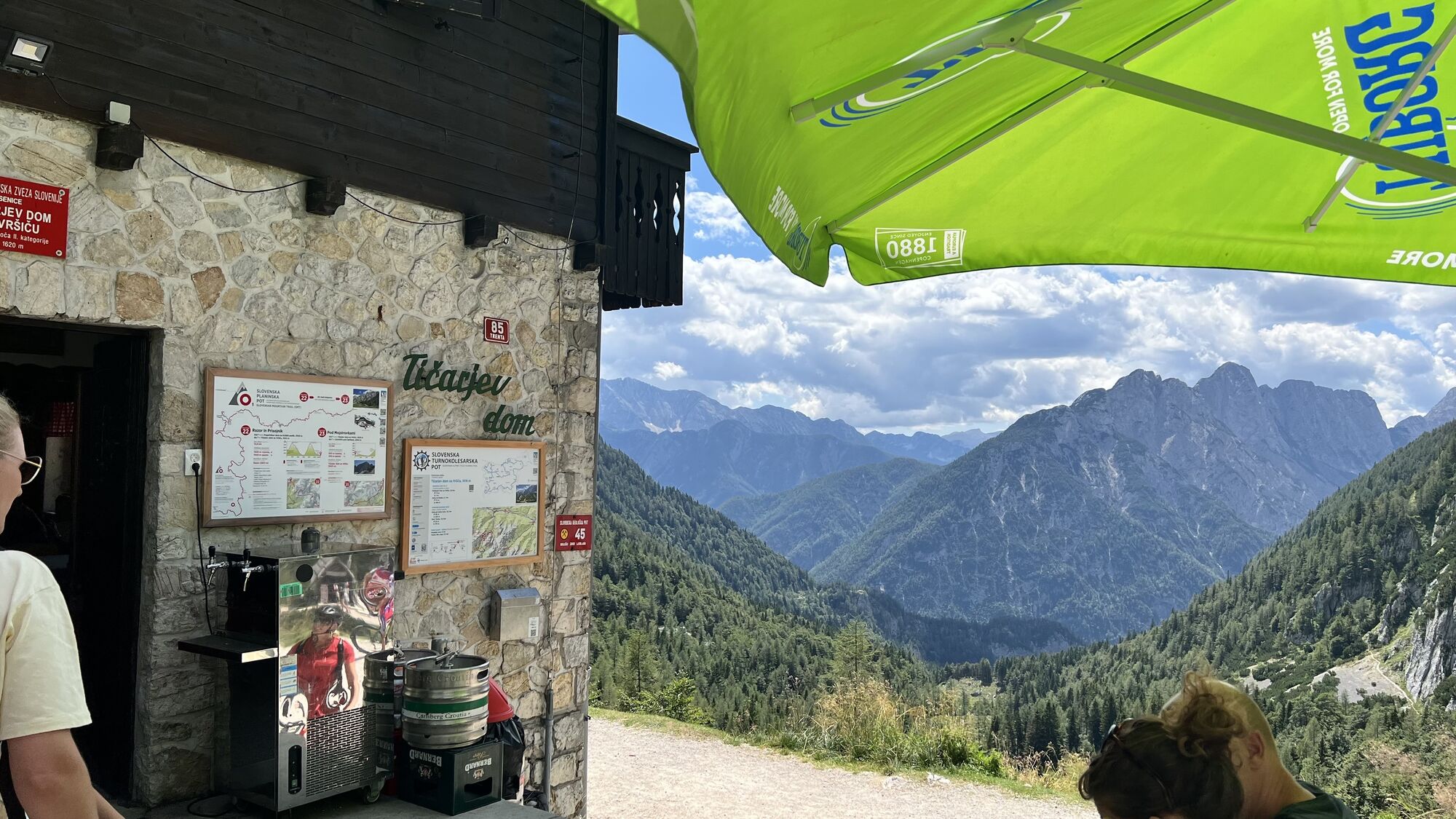
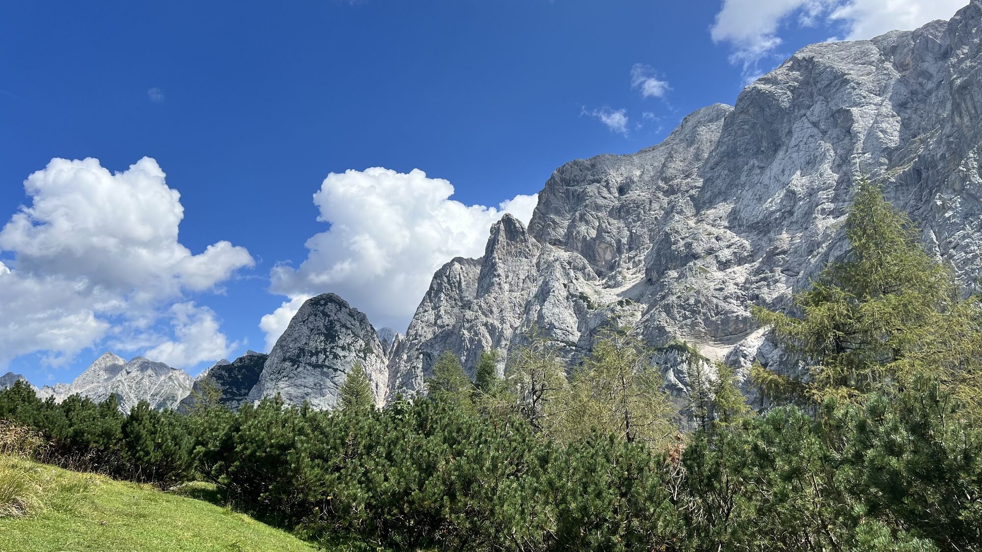
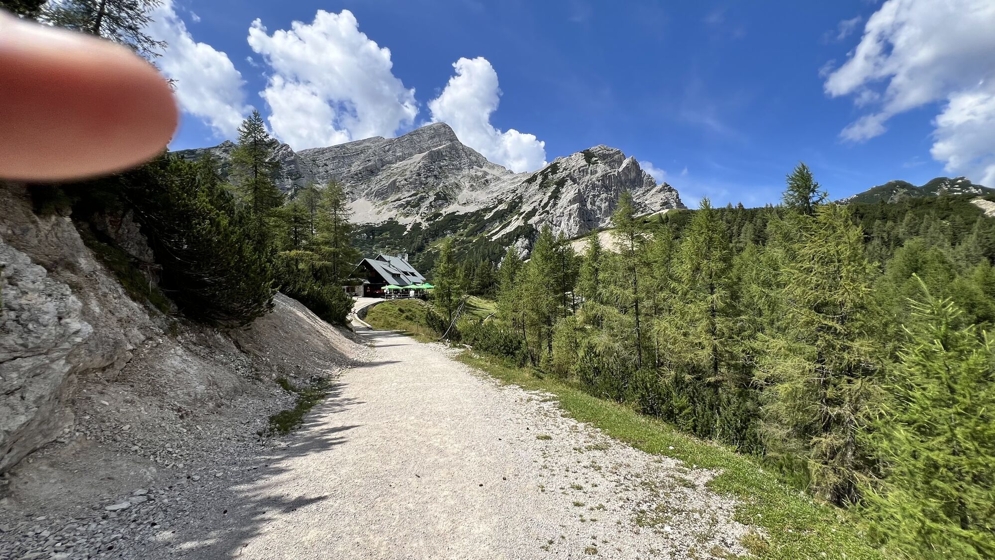
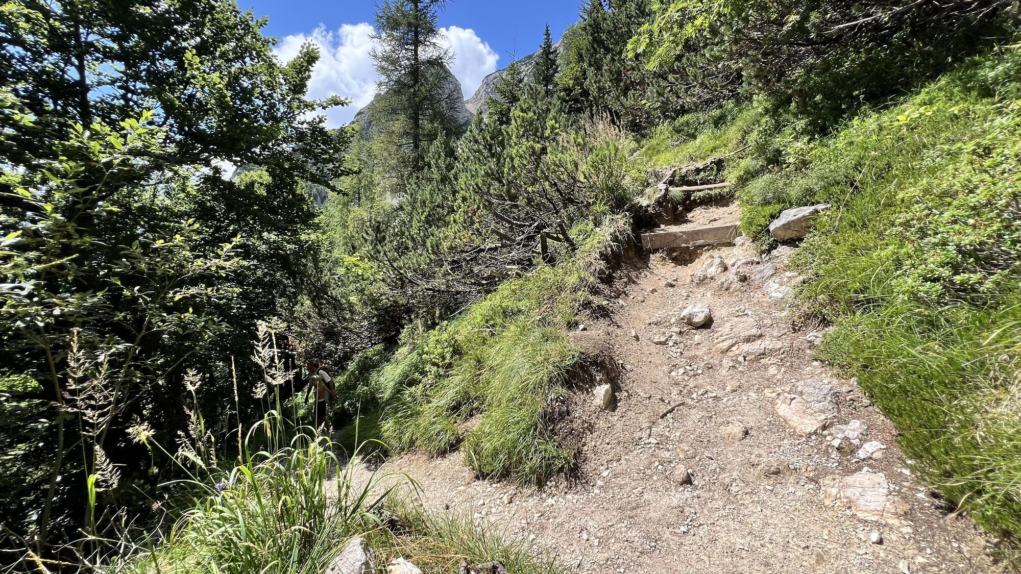
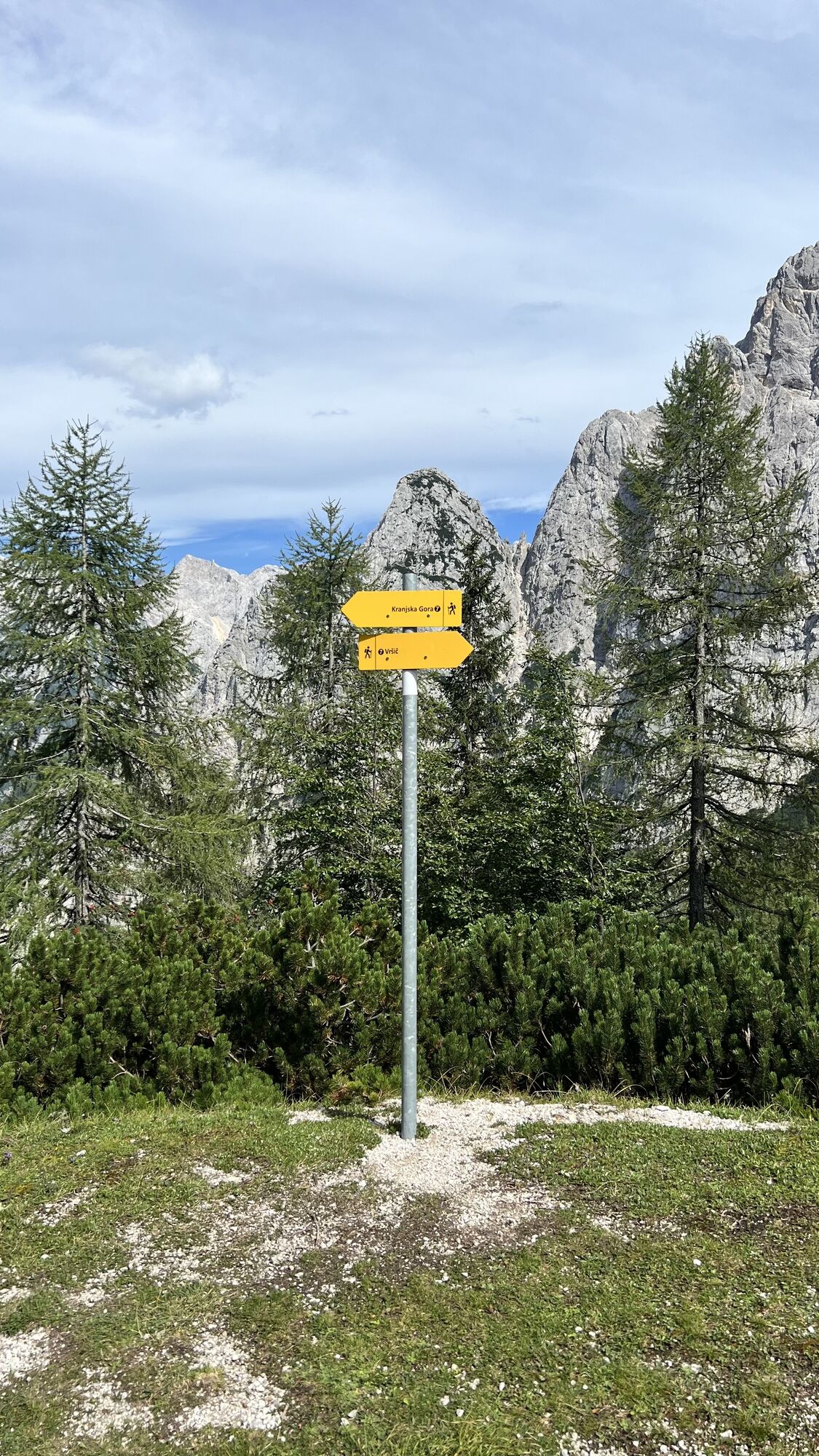
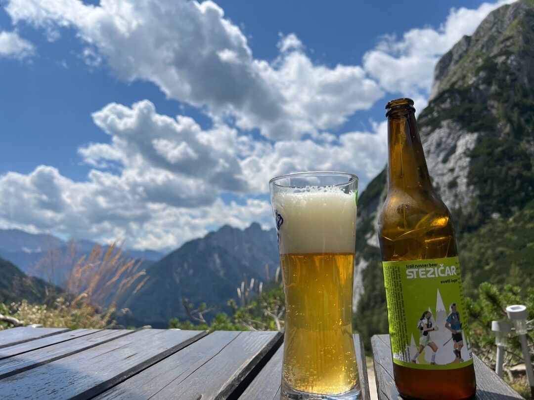
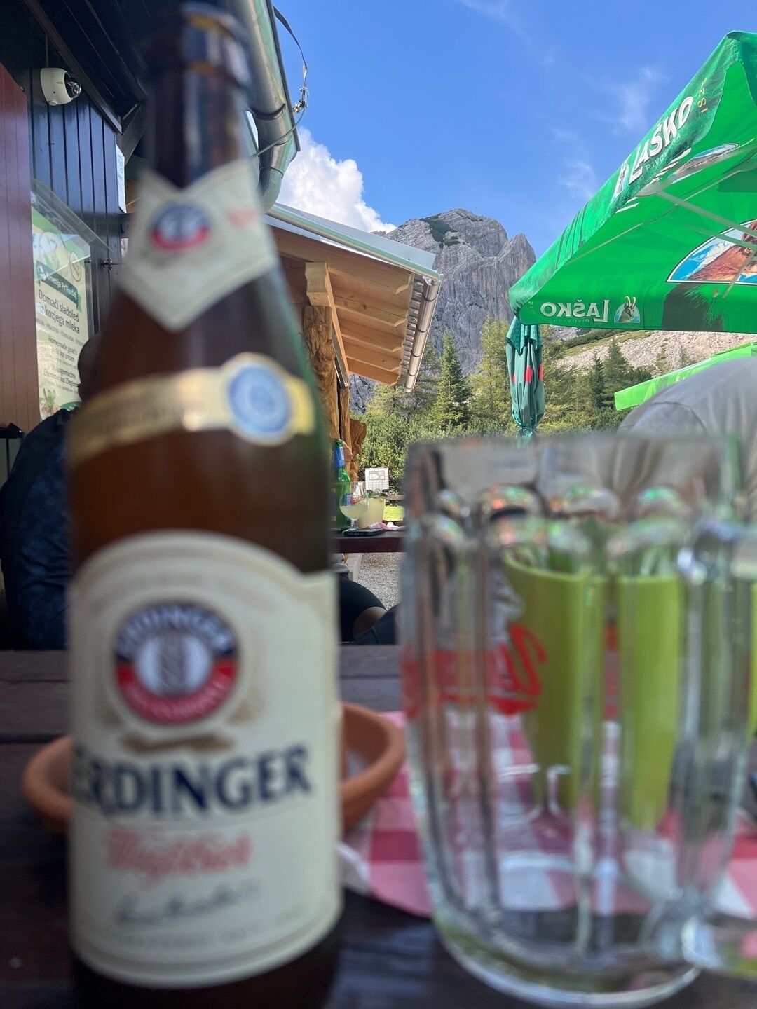

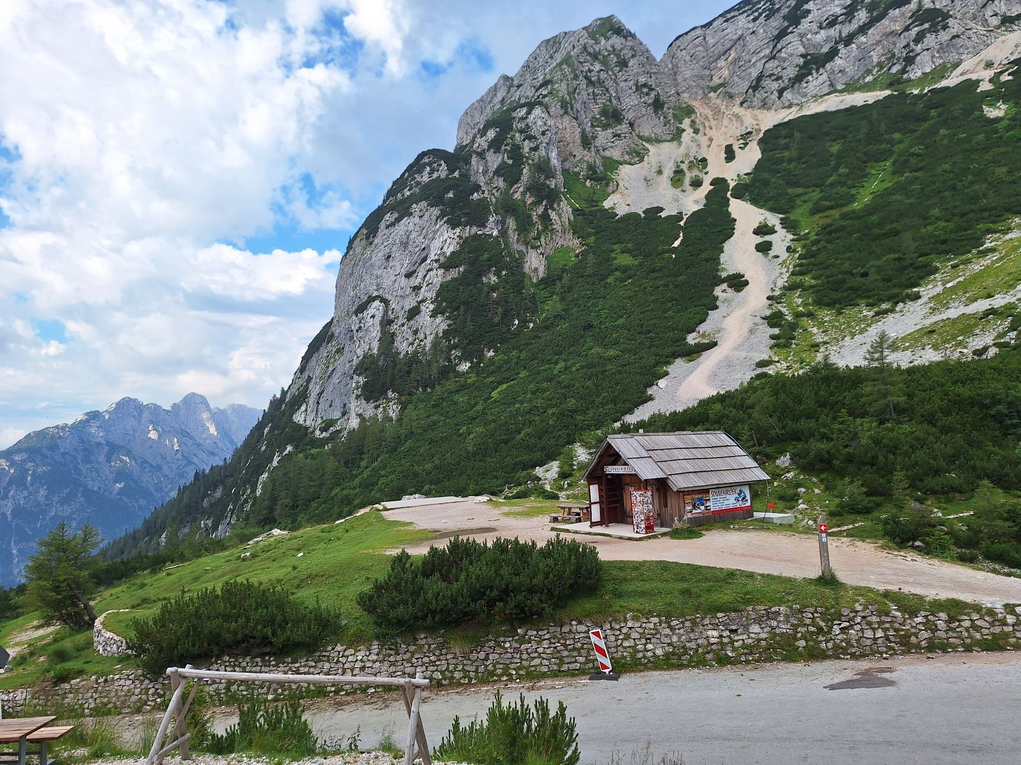
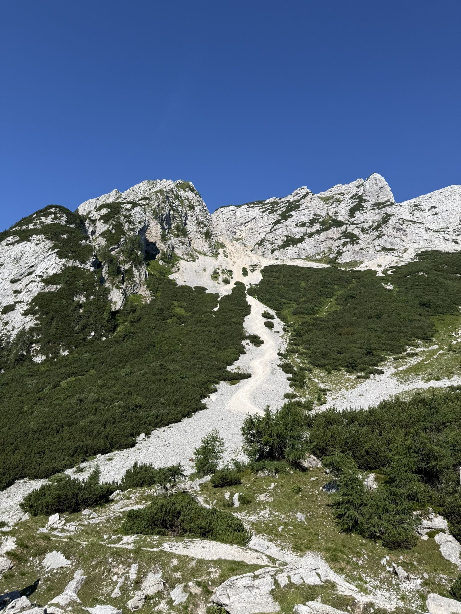
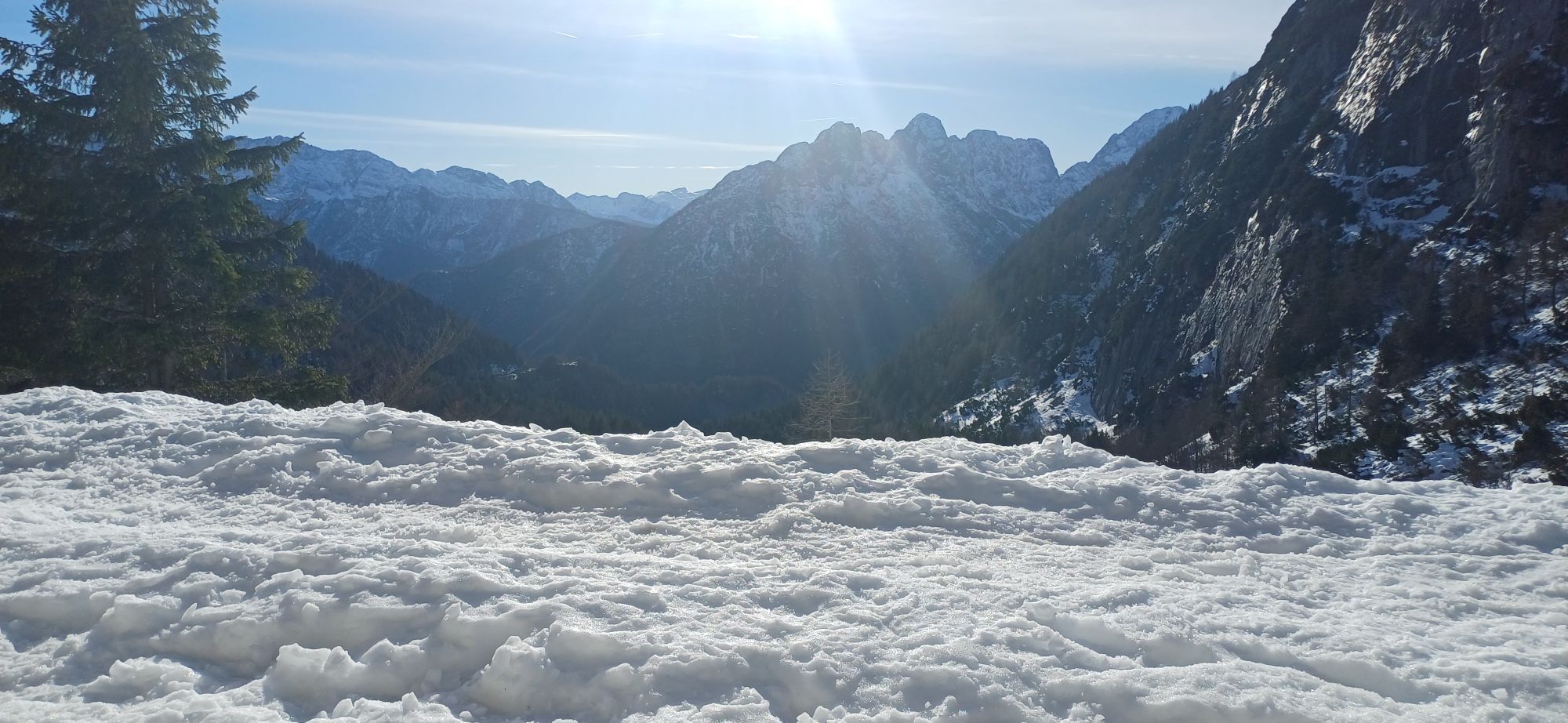
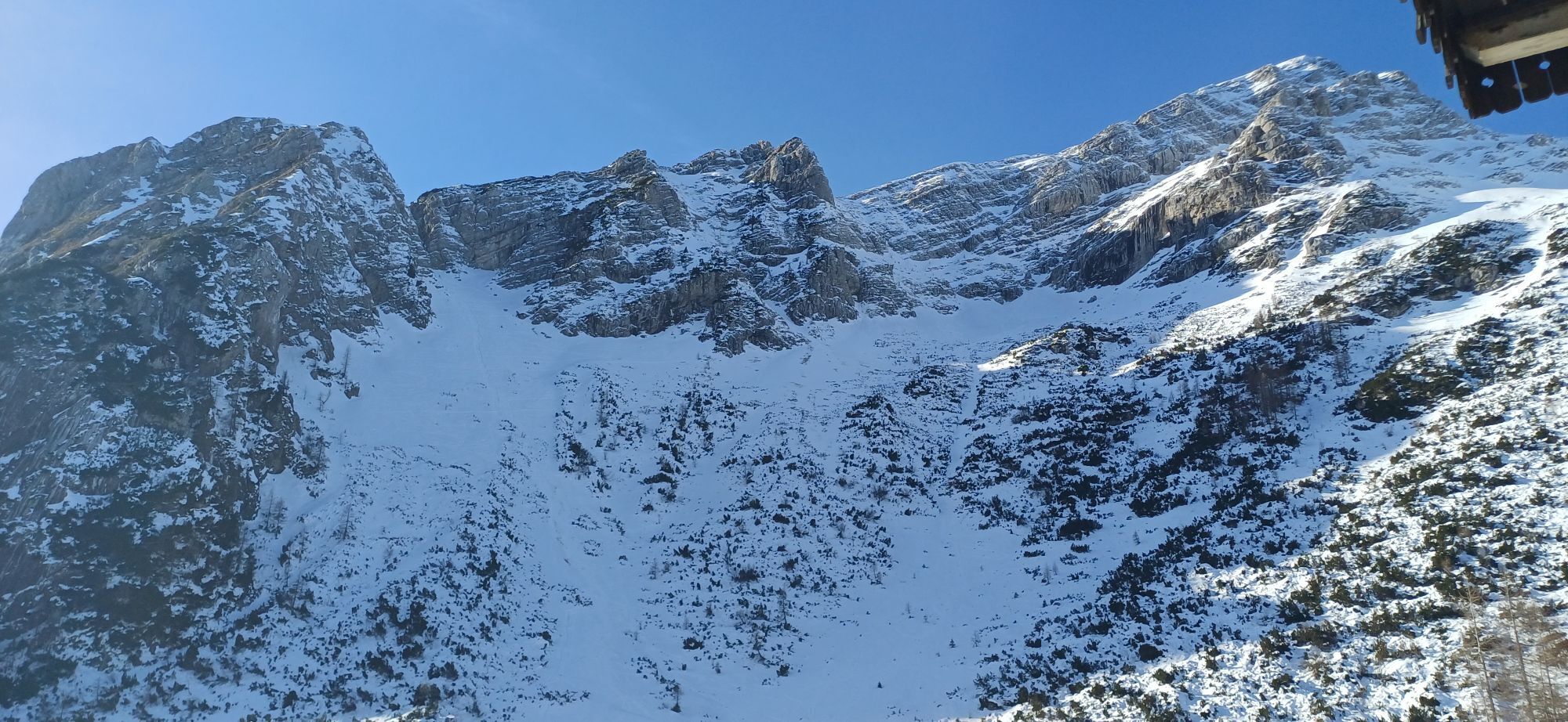
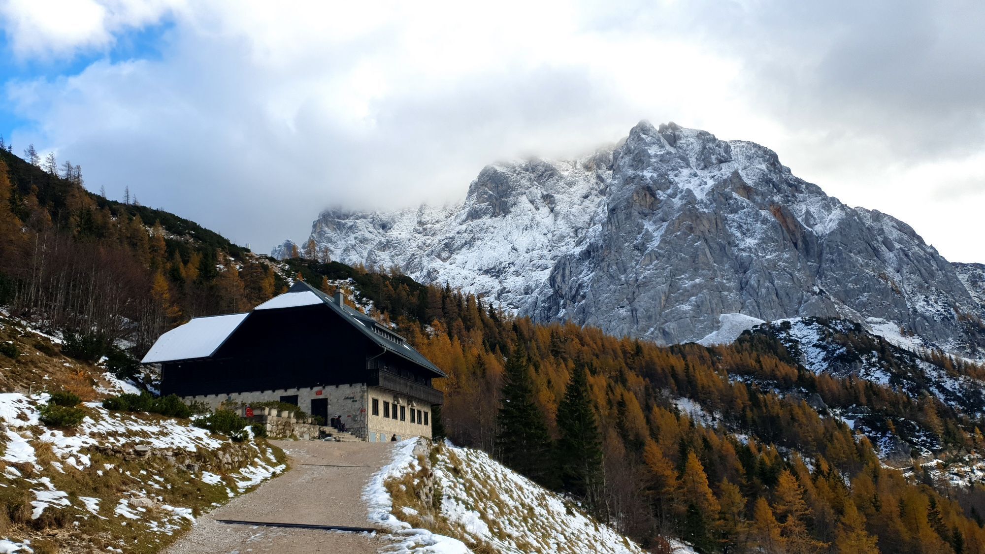
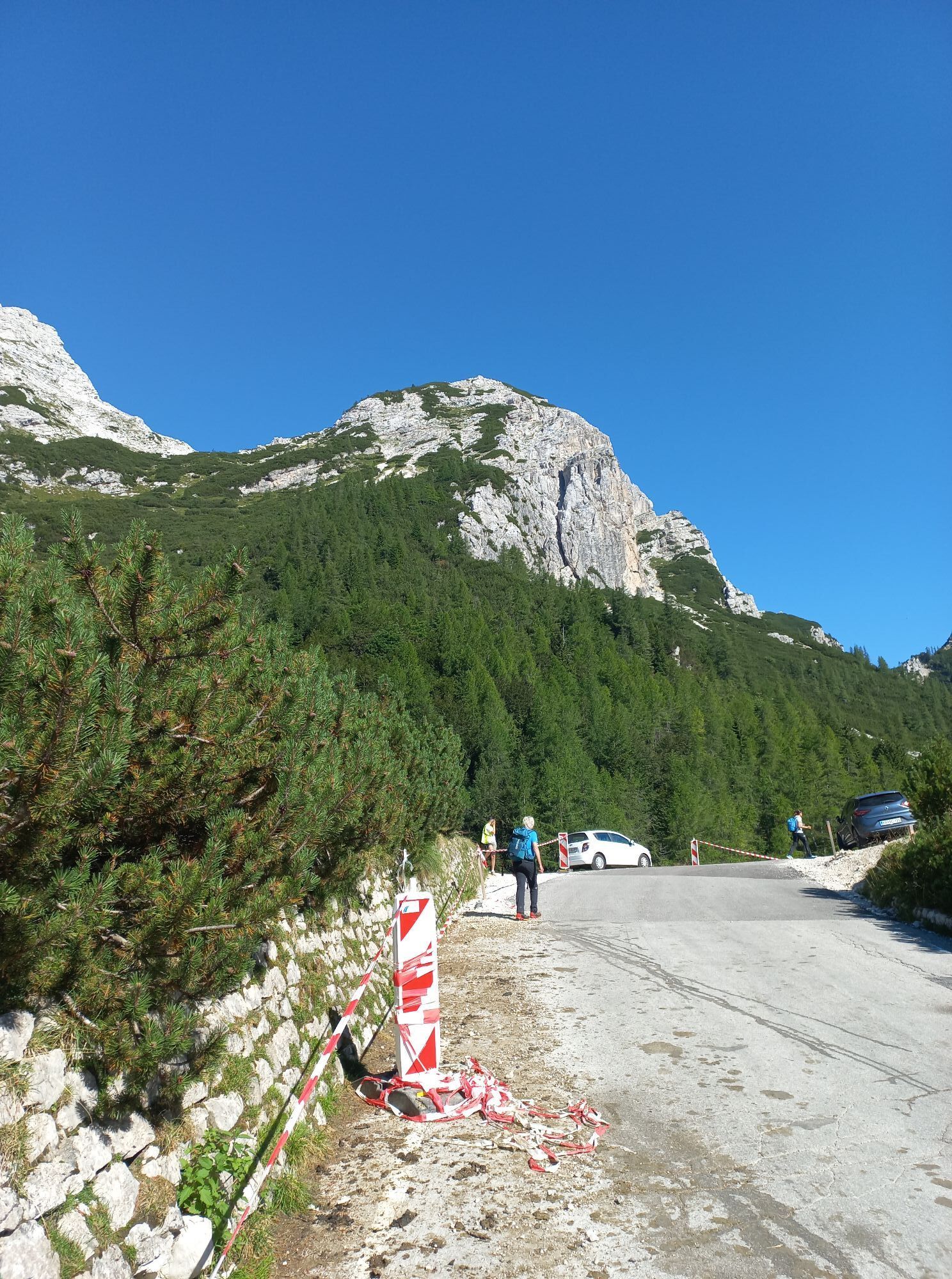
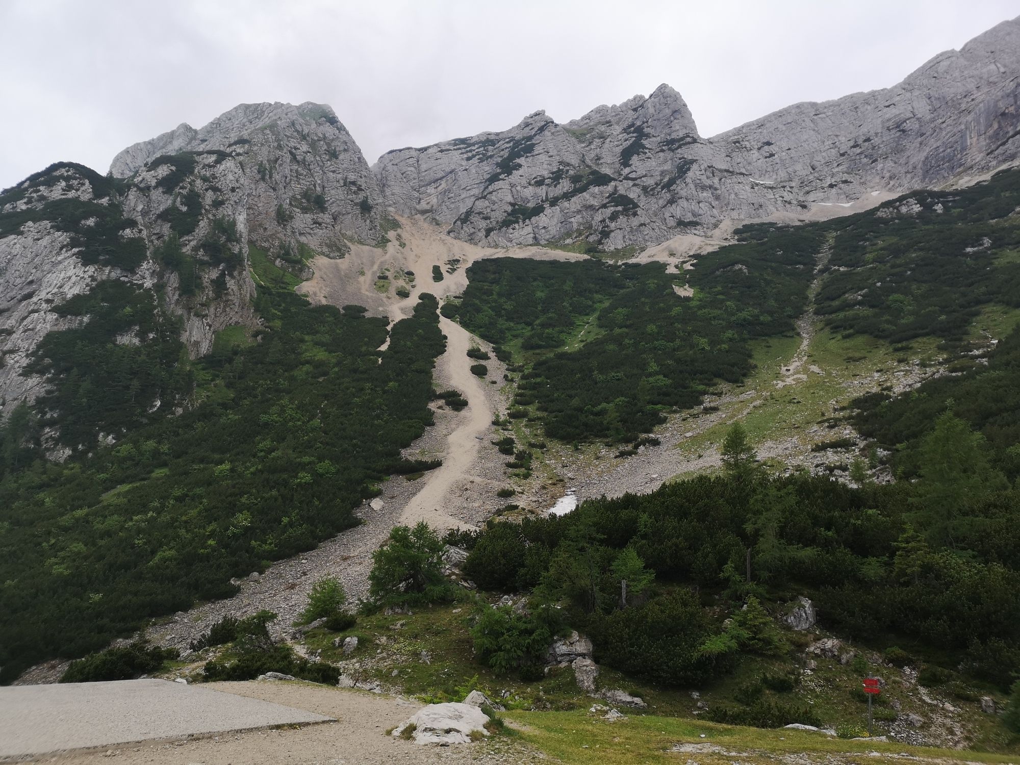
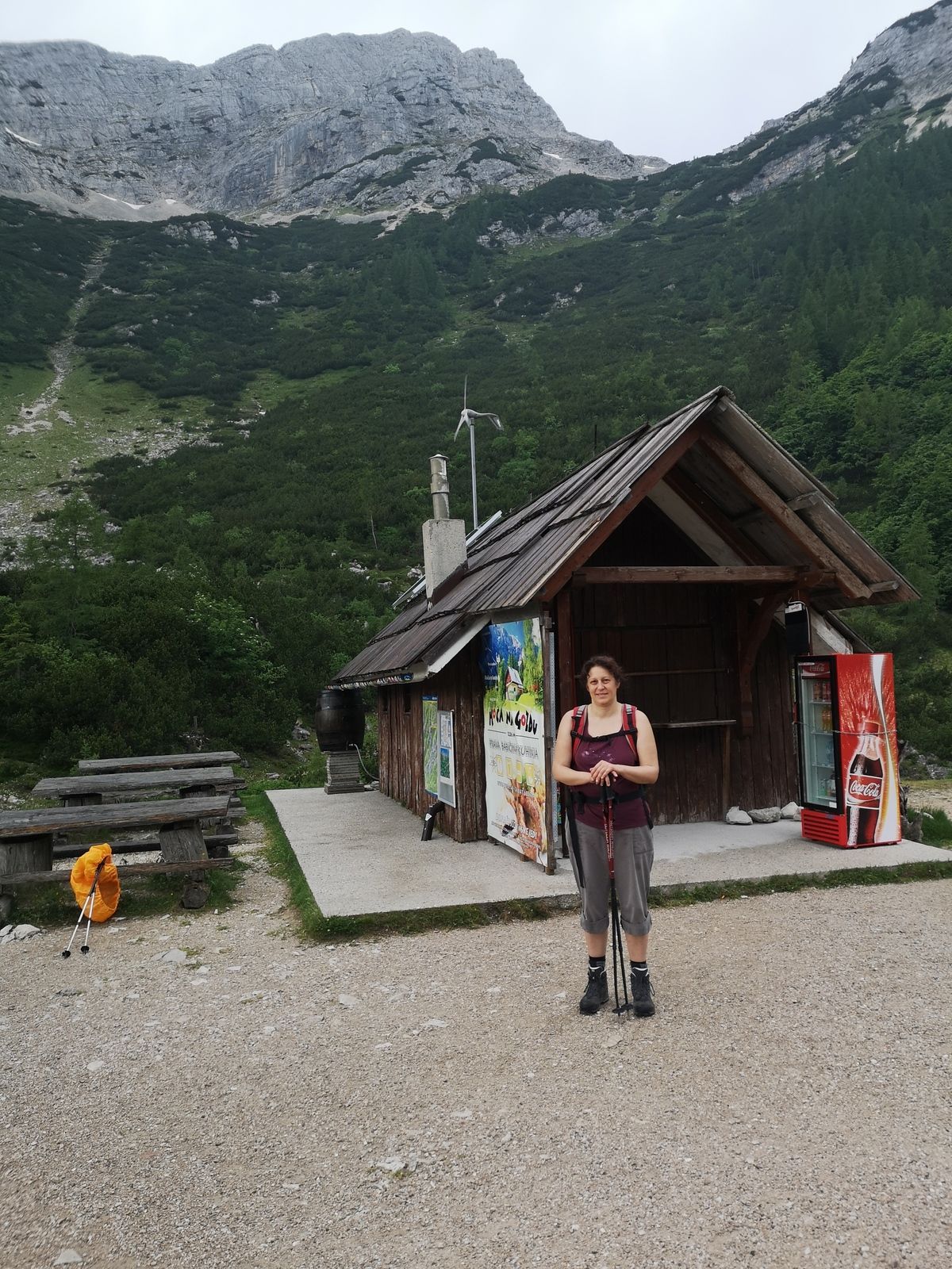
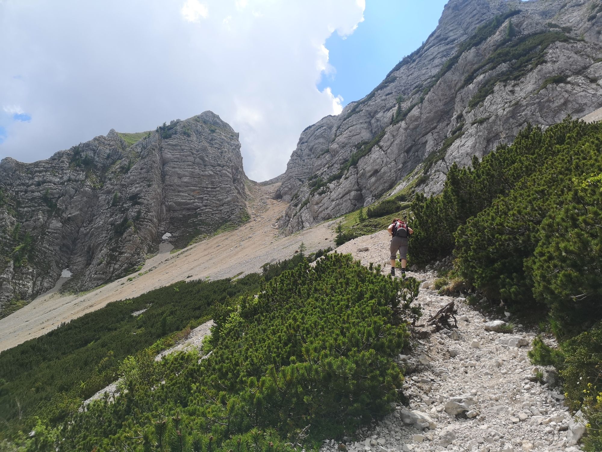
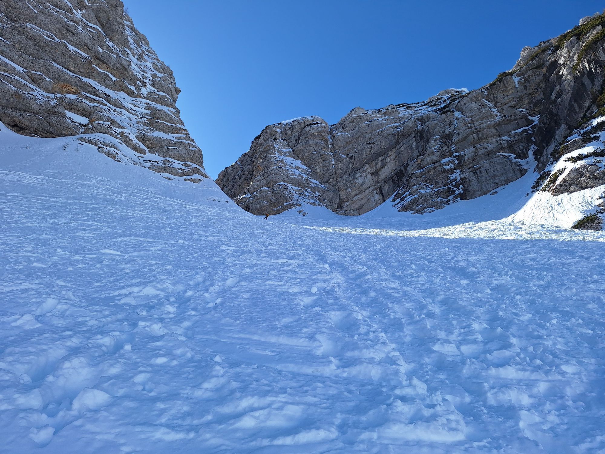
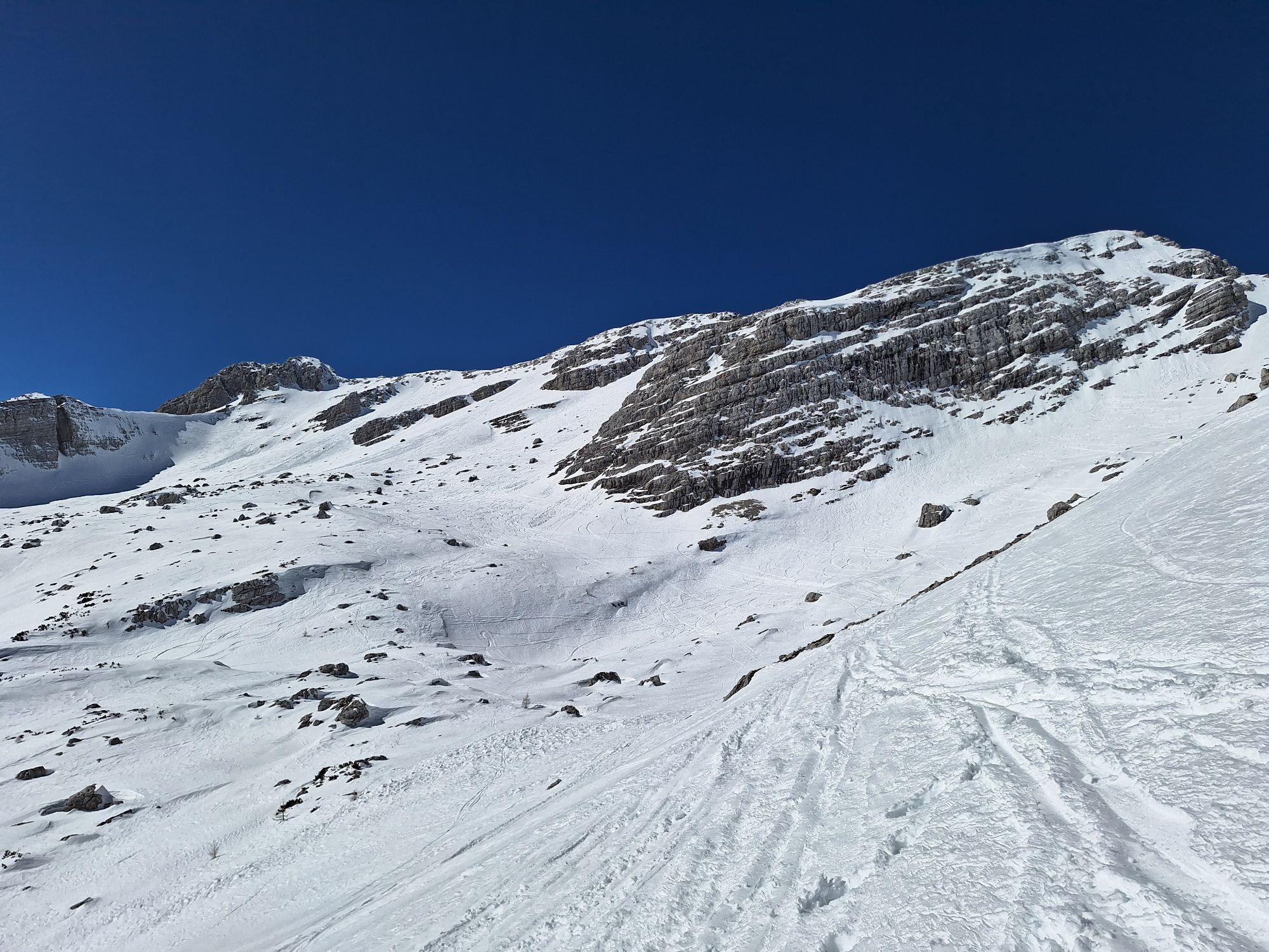
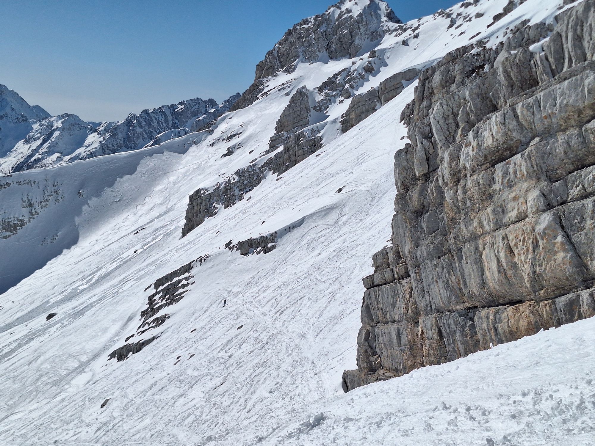
First part after parking was found to be to difficult for our 8 yo son, hence after enjoying the view, we went back for a drink and took the path right, which ended close to restaurant Tičarjev Dom.
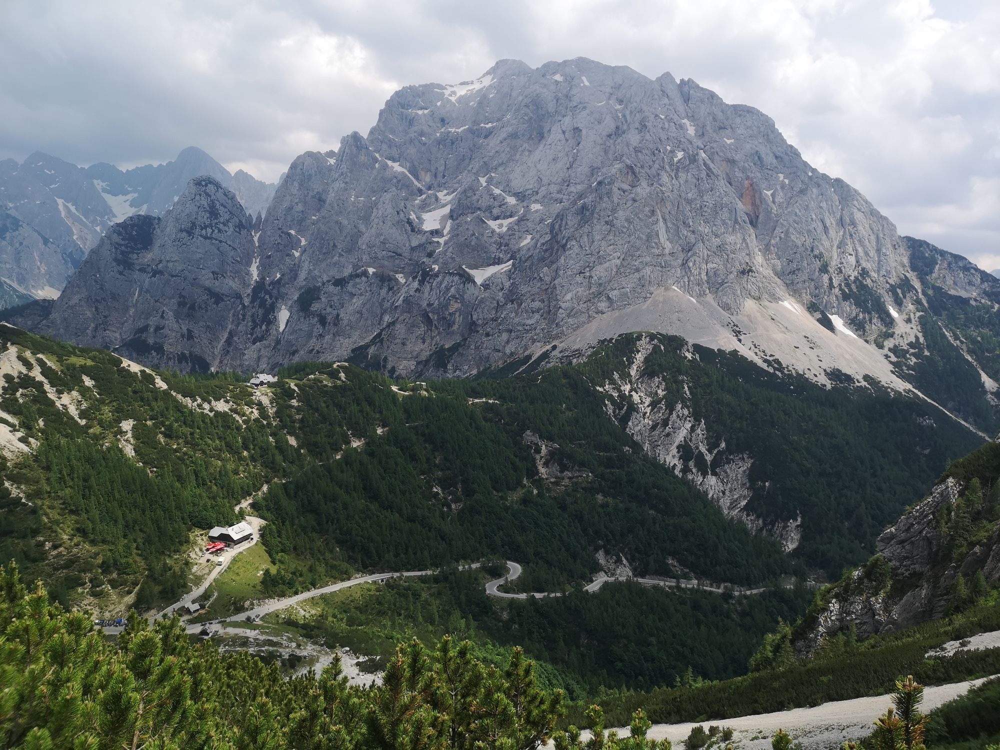
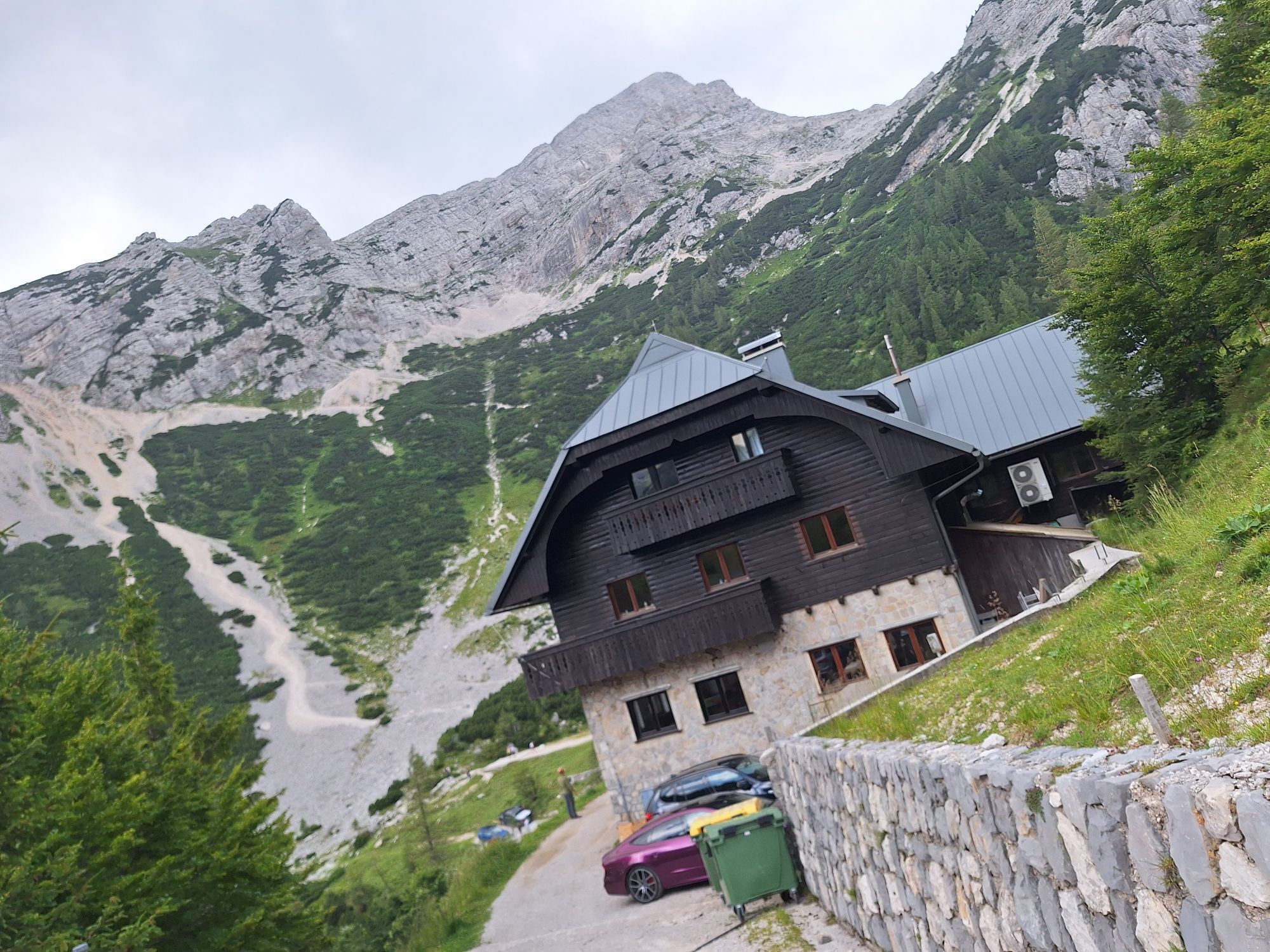
From here on we followed the route behind the restaurant up to the 2nd restaurant for a late lunch. Here you’ll find various viewpoints and interesting historical buildings.
We continued our hike up the hill for an other beautiful viewpoint, after which we walked down, through a forest, towards our car.
Simple
First part was too steep for our 8yo son. If possible, you’re able to continue forward and will pass the valley and will return to the same point by passing the opposite mountains.

Popularne wycieczki w okolicy
-
4,7
Jeziora Fusine
światłoWędrówka 5,43 km -
4,9
Krma - Triglav
ciężkiWycieczki górskie 18,6 km -
4,9
Orrido dello Slizza, Tarvisio, Italië
światłoWędrówka 2,65 km -
4,5
Mallestiger Mittagskogel
średniWędrówka 8,17 km -
4,7
Viševnik 2050m
światłoWycieczki górskie 6,97 km -
4,6
Baumgtn. Höhe, Mallestiger Mittags- und Schwarzkogel
ciężkiWędrówka zimą 10,7 km -
4,4
Krnica Hut
średniWędrówka 14,9 km -
4,9
Triglav
ciężkiWycieczka wysokogórska 12,1 km -
4,6
Weißenfelser Seen: Fusine in Valromana - Ai Sette Nani - Seealm
średniWędrówka 10,3 km -
4,2
Zacchi Wanderung Rundweg
światłoWędrówka 8,85 km

Wędrówki i tropienie


Nie przegap ofert i inspiracji na następne wakacje
Twój adres e-mail została dodana do listy mailingowej.





