







K-B3 Ukanc - Bohinjska Bistrica
During the First World War, the territory of Bohinj and the settlement of Ukanc, the starting point of this stage, were at the center of intense traffic of equipment and supplies directed to the front...
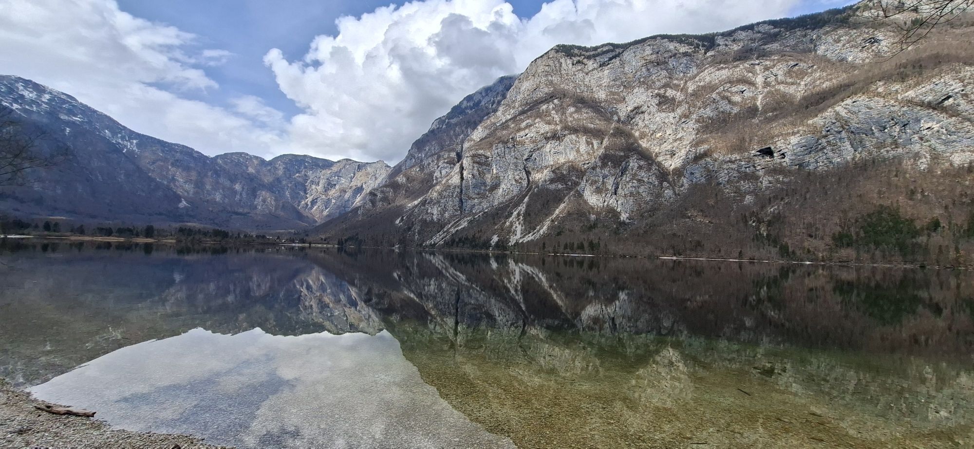
During the First World War, the territory of Bohinj and the settlement of Ukanc, the starting point of this stage, were at the center of intense traffic of equipment and supplies directed to the front lines located along the surrounding mountains. This was made possible primarily thanks to paths and cableways built on site by Russian prisoners of war deported to the area and exploited specifically for this purpose. The route of this itinerary allows engagement with this particular environment, perhaps less known compared to the front lines, while immersing in the natural beauties that complement it.

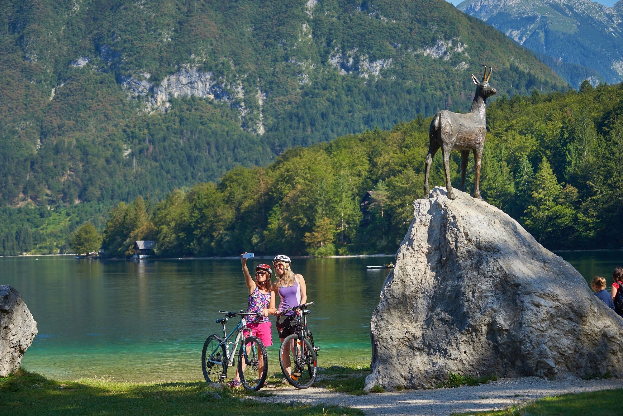
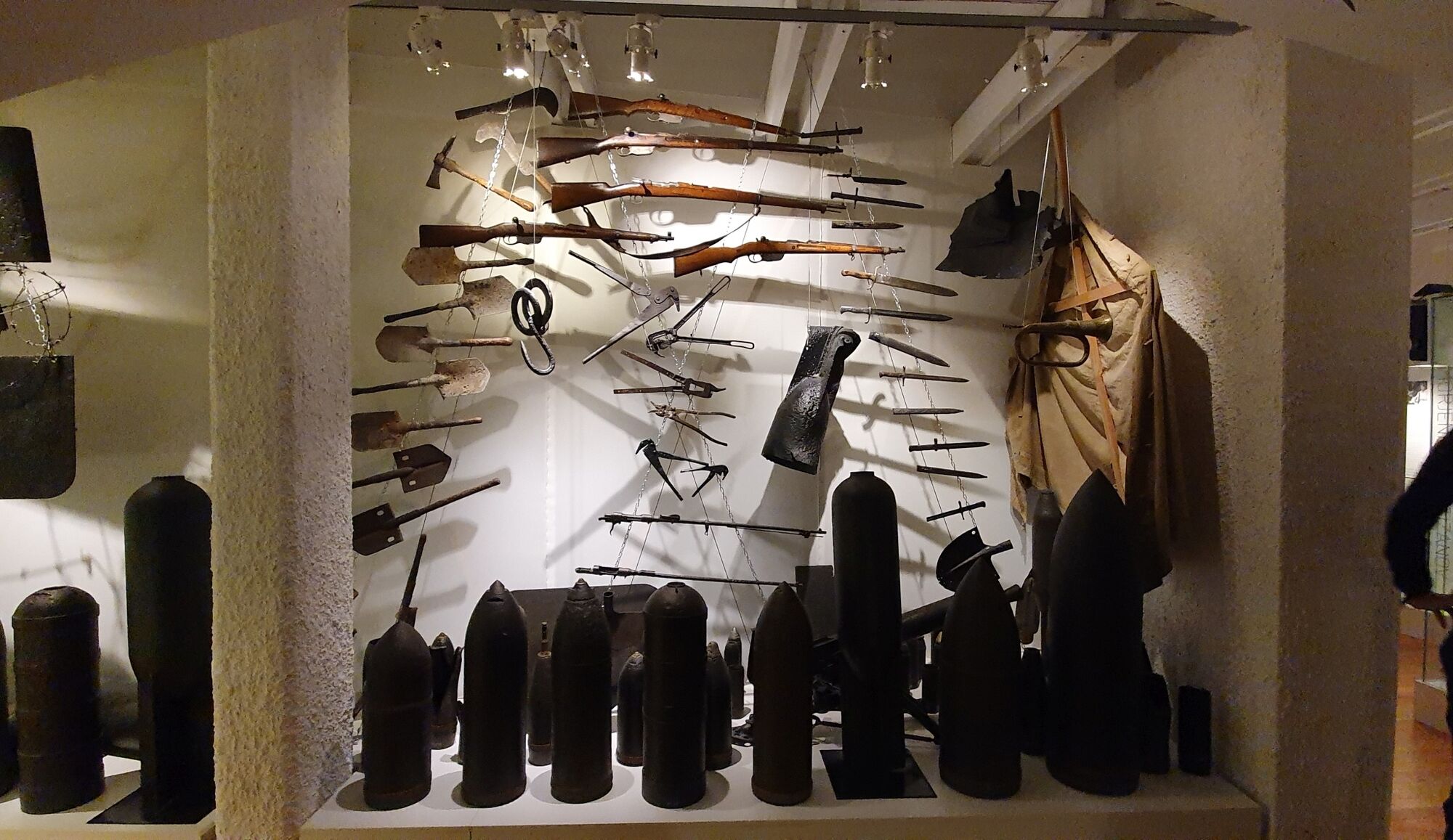
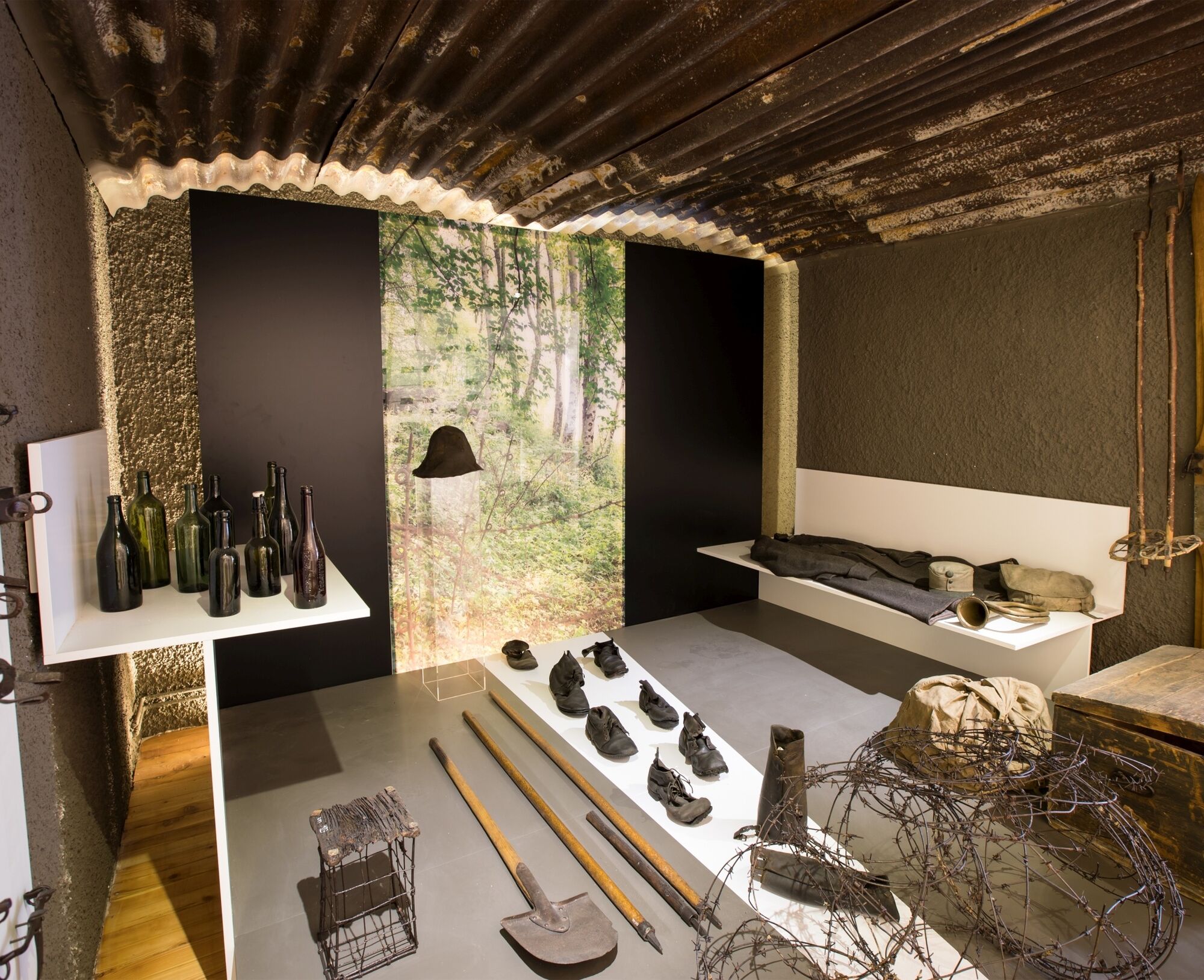
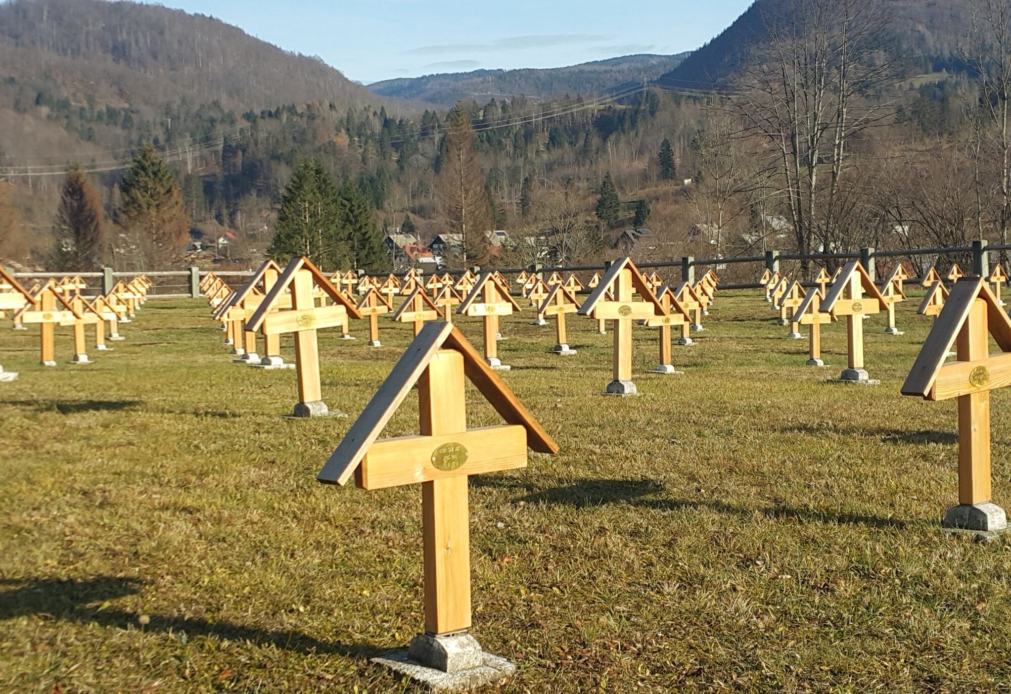

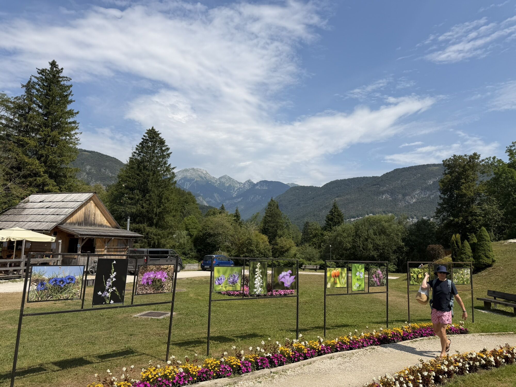
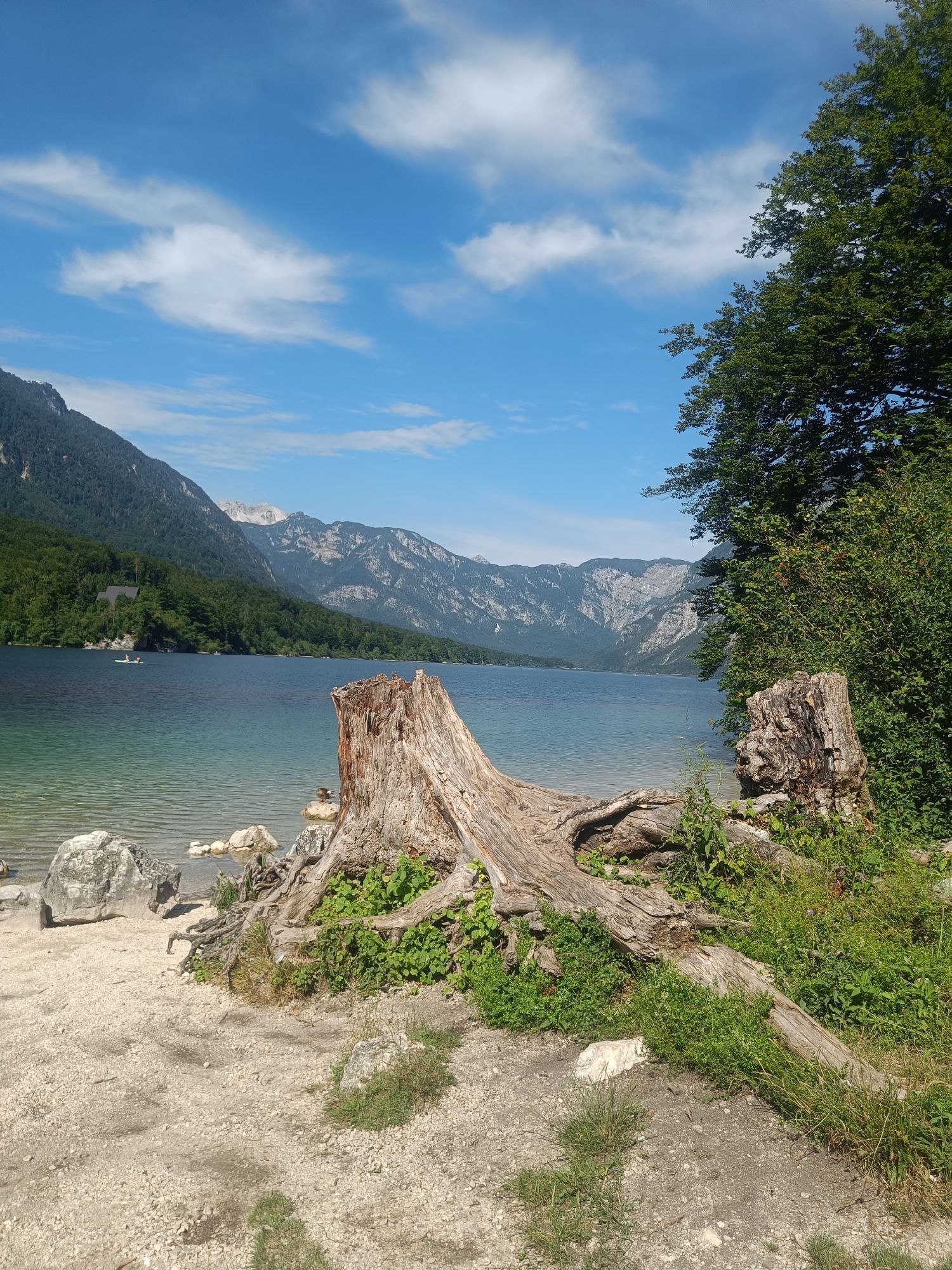
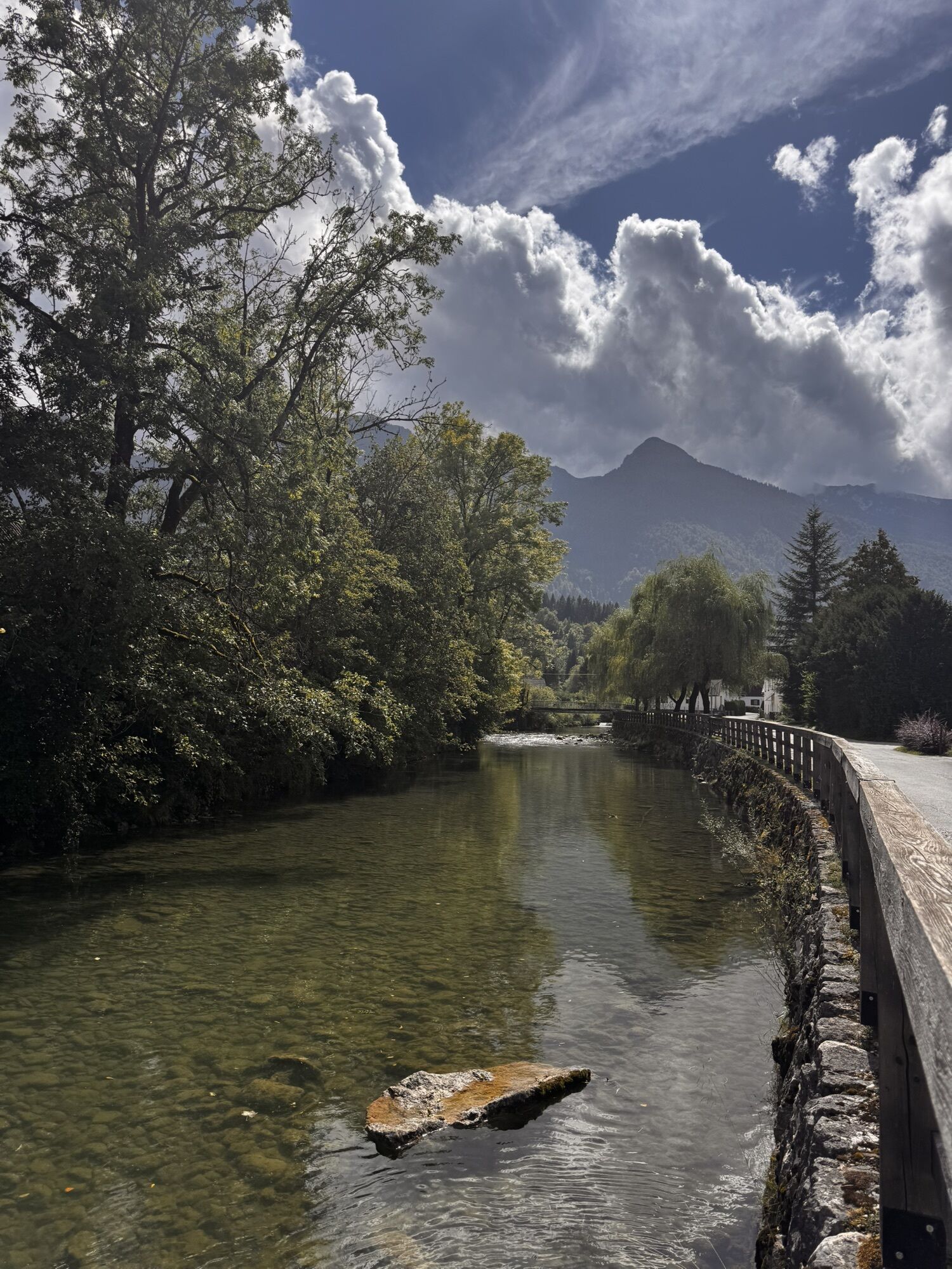
The stage starts from Ukanc along an asphalt road towards the valley station of the Vogel cable car. Then continue turning right at the crossroads towards Savica until reaching the First World War cemetery of Ukanc, then return to the crossroads and continue straight. You then proceed along the shores of Lake Bohinj following the route along which a narrow gauge railway used to run during the Great War. At RibÄev Laz, continue along the Juliana Trail hiking route towards Dobrava and Bohinjska Bistrica, the heart of the historical heritage related to the First World War in this area. Here it is possible to visit the Tomaž Godec Museum. In Bohinjska Bistrica, you can find numerous buildings that housed headquarters, field hospitals, and other military barracks. On the Rebro hill, just above the settlement, there is a military cemetery with 285 graves, then descend towards the railway station, the final point of the stage.
Trekking shoes and clothing, packed food and drinks, trekking poles.
Summer bus lines:
Bohinjska Bistrica–Lake Bohinj–Ukanc–Savica (lines 1 and 3)
Regular bus lines:
Bled–Bohinjska Bistrica
Rail connections:
Jesenice–Bohinjska Bistrica–Most na SoÄi–Nova Gorica
Departure: paid parking near the lake opposite the campsite (at the crossroads, where to turn to Vogel or near the KoÄa pri Savici mountain hut)
Arrival: at the Bohinjska Bistrica railway station
From the imposing Vogel, which is served by a cable car, opens a magnificent view, a paradise for hikers and skiers.
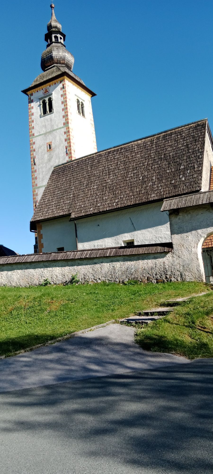
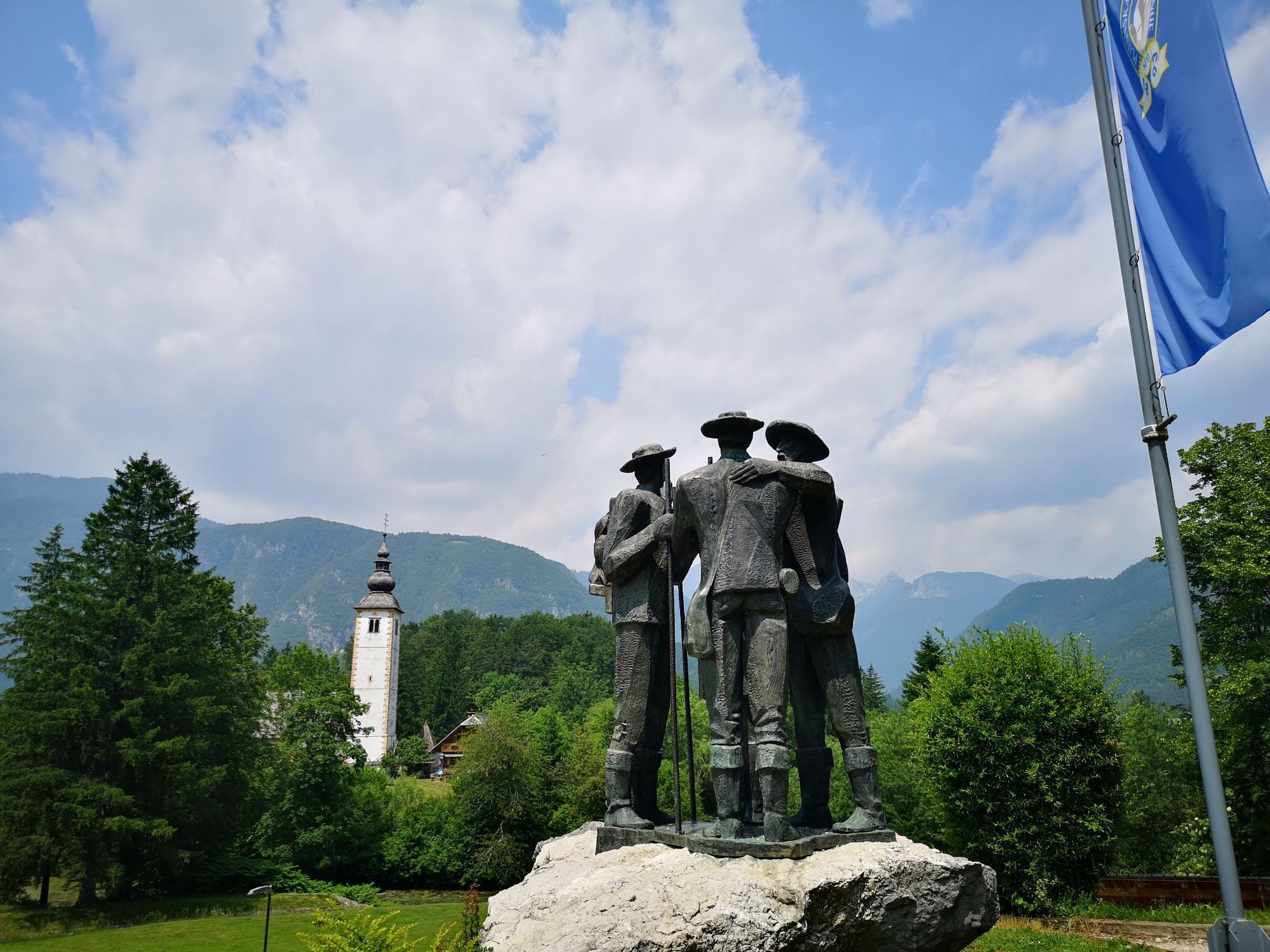
In RibÄev Laz, recommended is the visit to the Church of St. John the Baptist and the monument to the first climbers of Triglav.
In Ukanc, the tomb of Russian prisoners of war is of interest.
Kamery internetowe z trasy
Uzyskaj wgląd
Zawsze na żywo z ponad 9 500 kamer internetowych. bergfex Jako użytkownik Pro, możesz teraz zobaczyć odpowiednie kamery internetowe dla wielu wycieczek w aplikacji wycieczki od. Pozwala to na bezpośredni podgląd aktualnych warunków.
Popularne wycieczki w okolicy
-
4,9
Krma - Triglav
ciężkiWycieczki górskie 18,6 km -
4,7
Viševnik 2050m
światłoWycieczki górskie 6,97 km -
4,9
Triglav
ciężkiWycieczka wysokogórska 12,1 km -
4,5
Savica Wasserfall
średniWędrówka 1,89 km -
4,5
Roundthelake
światłoWędrówka 11,4 km -
4,3
Slap Slavica
średniWędrówka 9,62 km -
4,6
Rudno polje-Viševnik
średniWędrówka zimą 7,15 km -
4,8
Triglav lakes hike
ciężkiWędrówka 23,7 km -
4,8
Mostnica Gorge
średniWędrówka 4,93 km -
3,9
Tolminka Klamm
światłoWędrówka 1,90 km
Wędrówki i tropienie


Nie przegap ofert i inspiracji na następne wakacje
Twój adres e-mail została dodana do listy mailingowej.





