


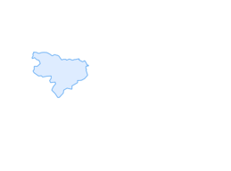

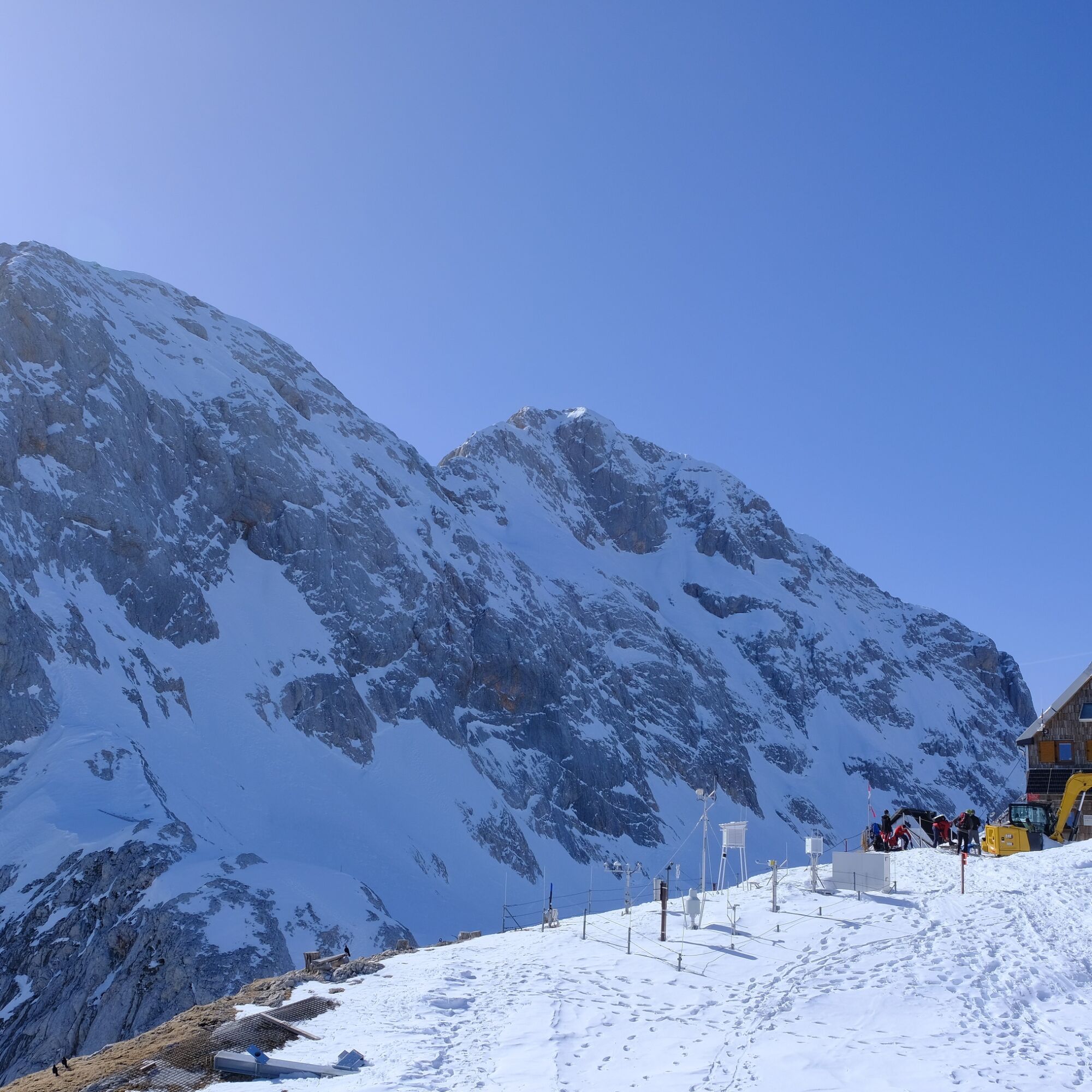
Kredarica 2515 m: below the summit of Slovenia’s highest mountain
Poziom trudności: PD+
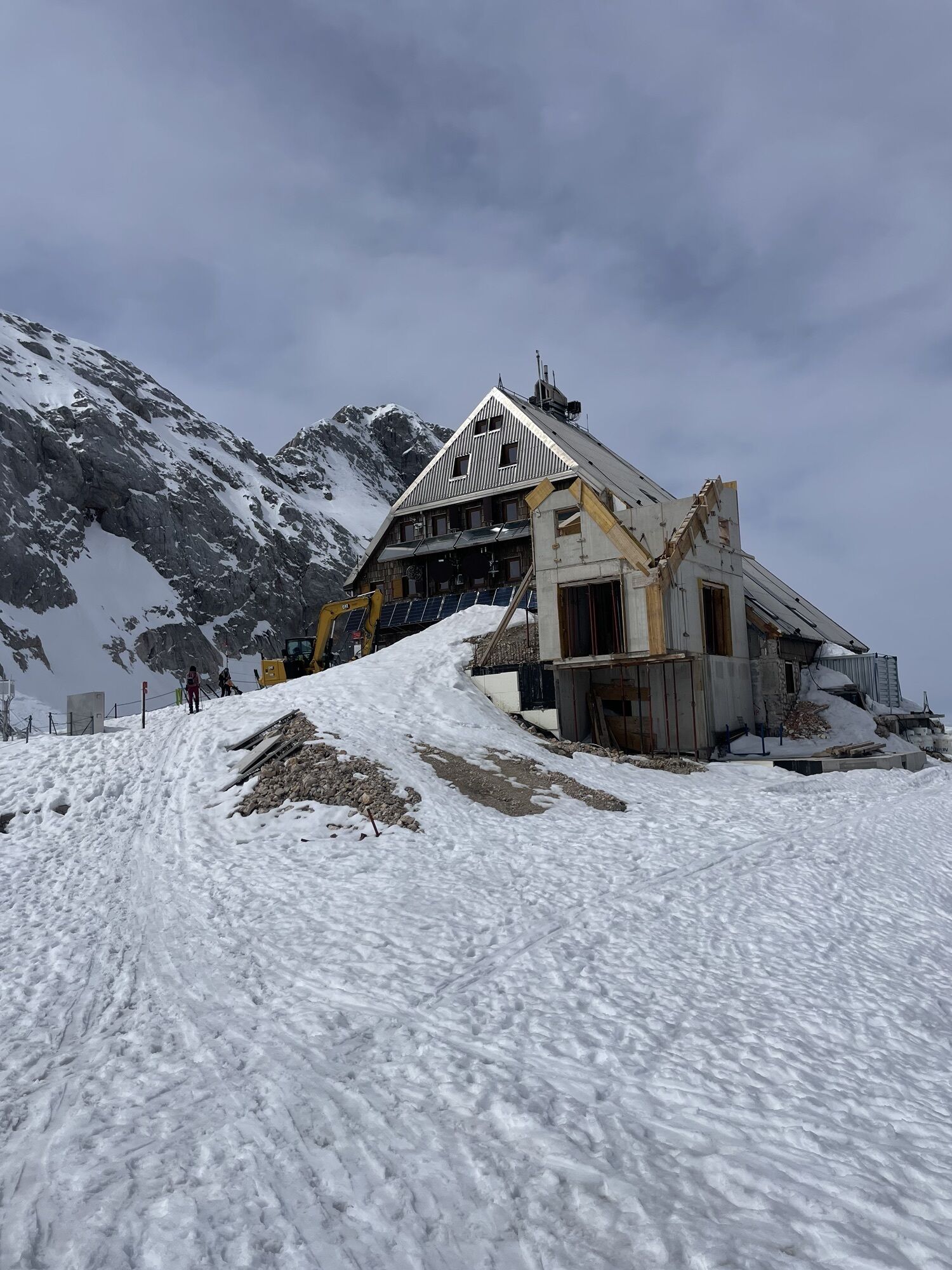


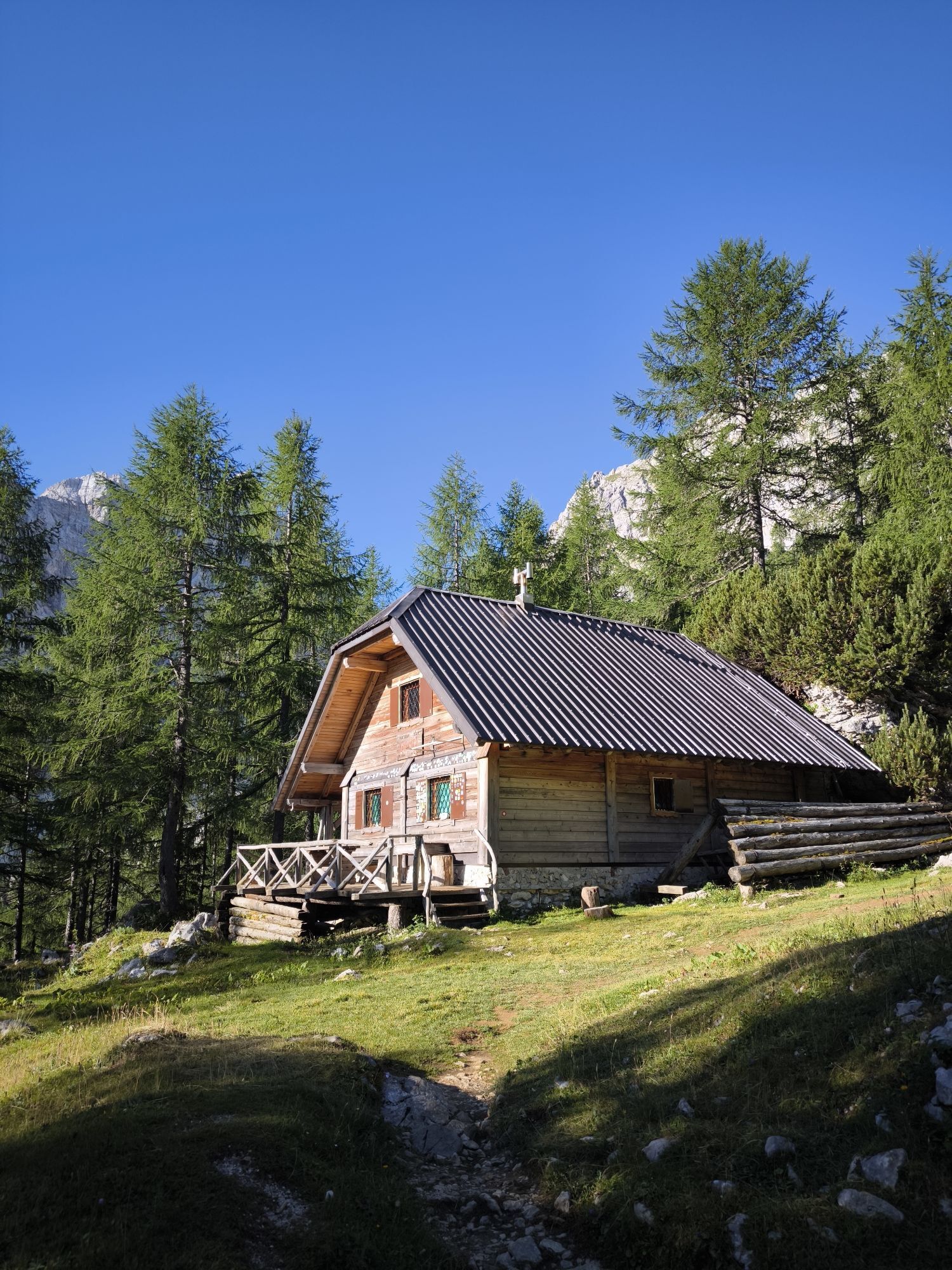


Triglav Lodge at Kredarica, at 2515 m, is the highest mountain hut in Slovenia. This legendary hut is one of the most important symbols of Slovenian mountaineering history. It was the fourth mountain hut...
From the very beginning, the hut’s caretakers carried out meteorological observations, and since 1954 a permanent meteorological station has operated here, conducting measurements every day throughout the year. During winter, when the hut is not staffed, visiting mountaineers are looked after by the on-duty meteorologists.
Ski touring directly from the doorstep of Triglav Lodge at Kredarica is an old and noble ski-mountaineering classic, yet due to its length and elevation gain it remains a serious undertaking. From the parking area below Kovinarska Hut in the Krma Valley to Triglav Lodge, the ascent involves no less than 1655 vertical meters. Only two ski tours in the Julian Alps — Kanjavec and Zaplanja — are longer and gain a few dozen meters more. The permanently accessible Triglav Lodge significantly eases the tour, providing safe shelter, refreshments, and rest.
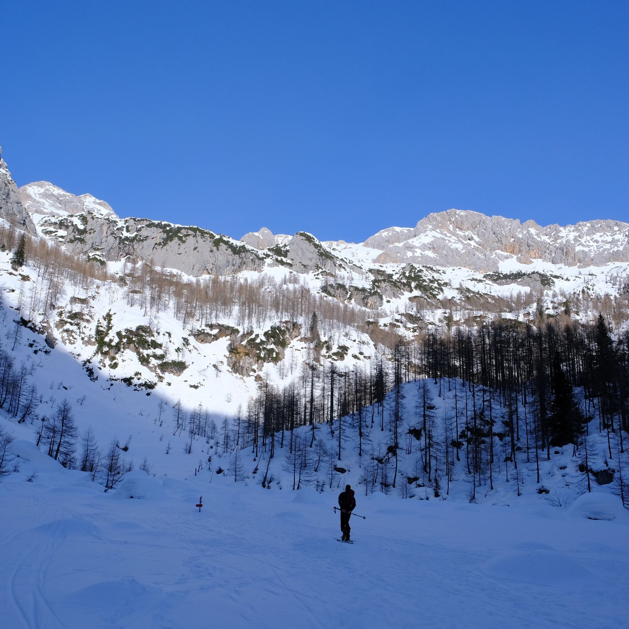
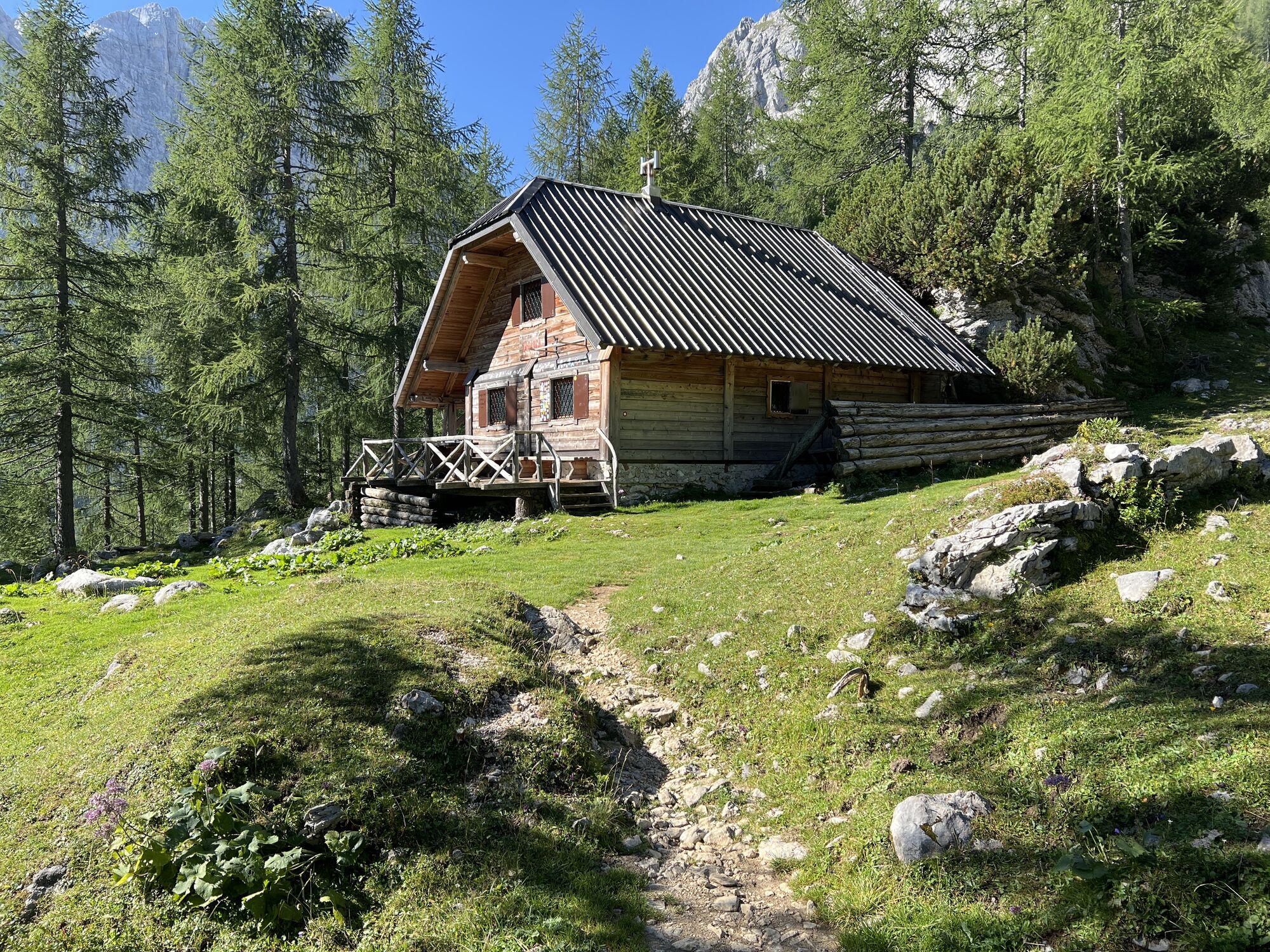
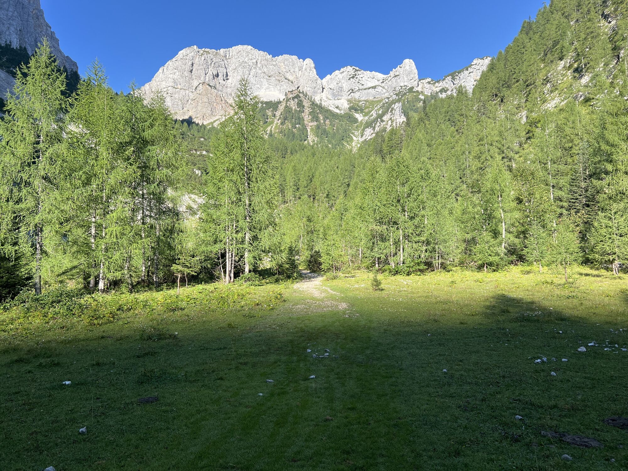
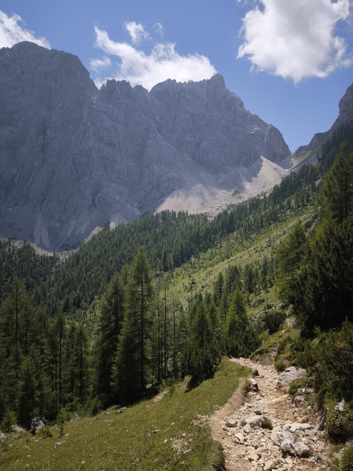
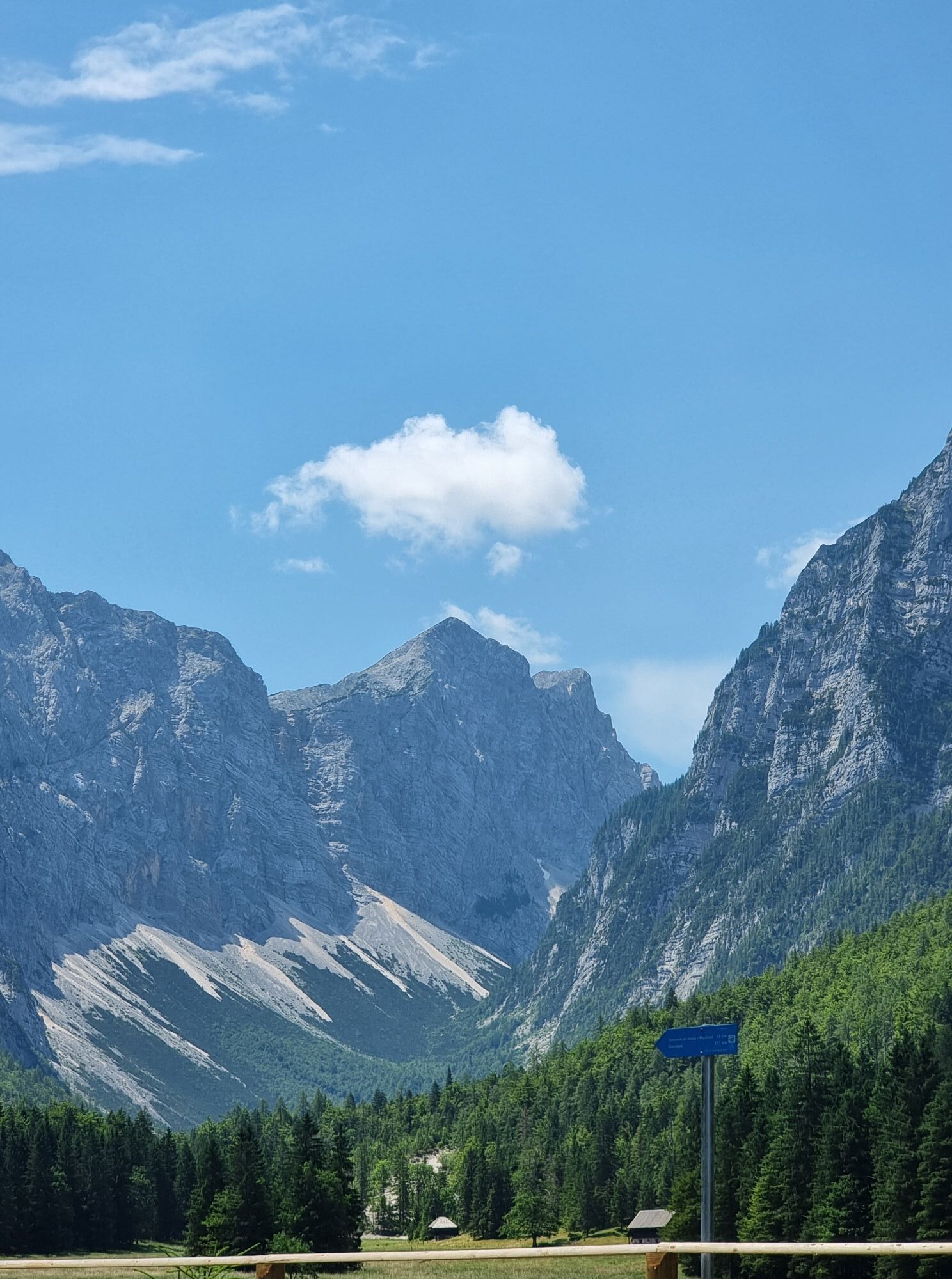
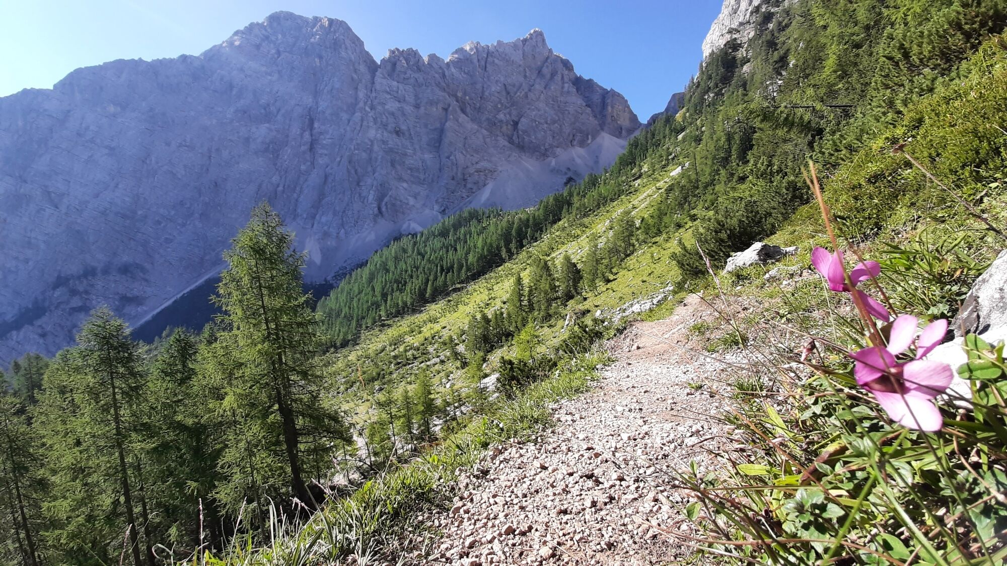
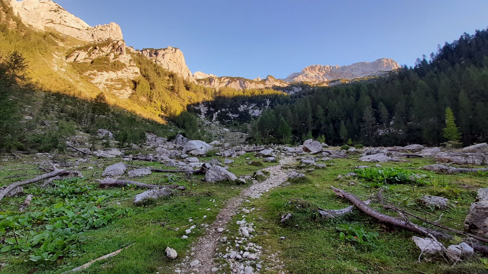
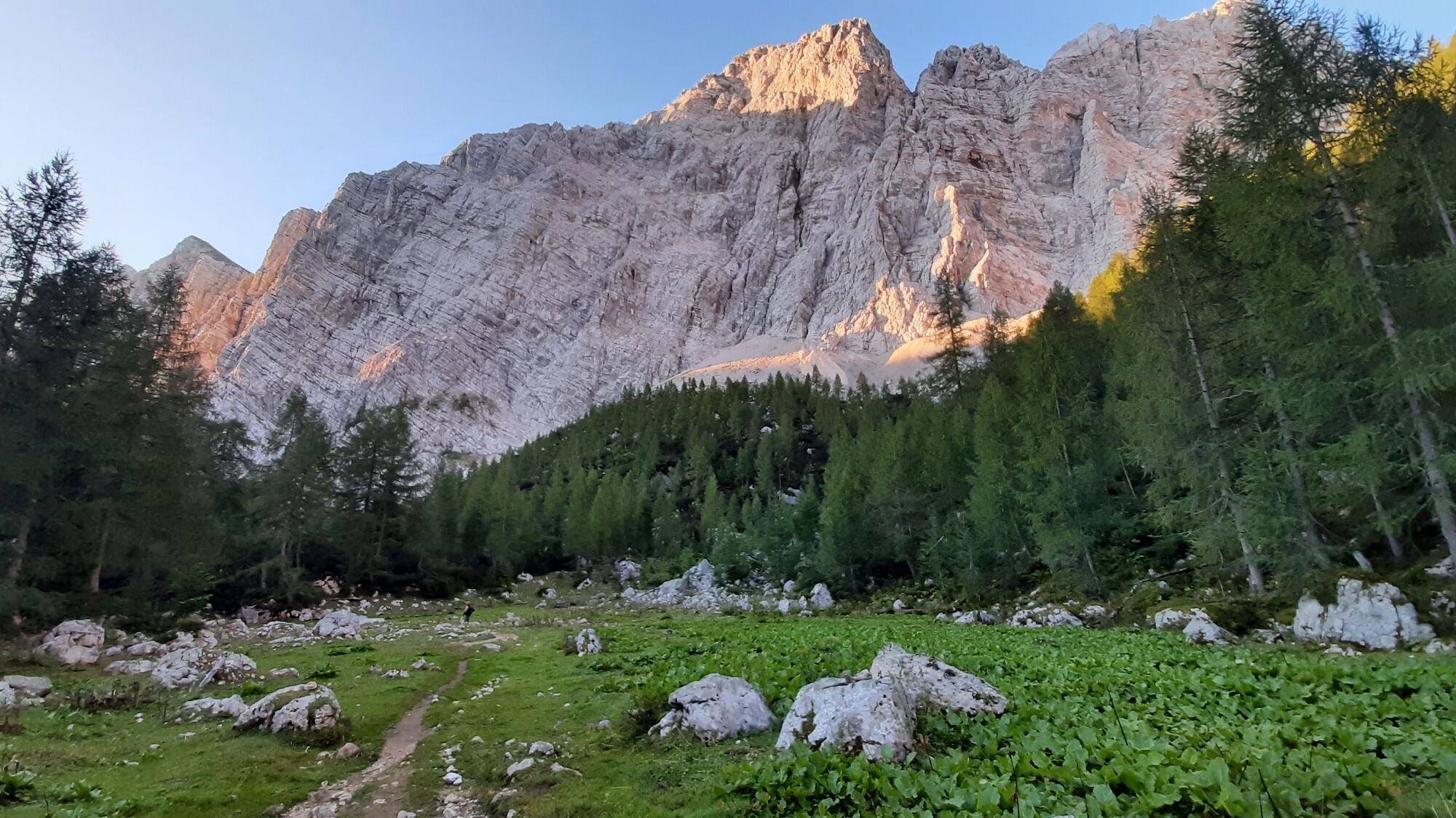
As the forest starts to thin, the valley floor ascent is interrupted by three successive flats — Pleša, VrtaÄa, and Polje. At Polje, the largest of these open areas, the valley broadens and divides. Continuing straight upward beneath the walls would lead to Bohinjska Vratca, the notch between Tosc and Vernar, but our route turns right into Travna dolina, a larch-covered valley. We do not follow Travna dolina far — approximately halfway along its gentler initial section, we turn left upward over a steeper step to the shepherd’s hut Prgarce on the pasture of Zgornja Krma (1720 m).
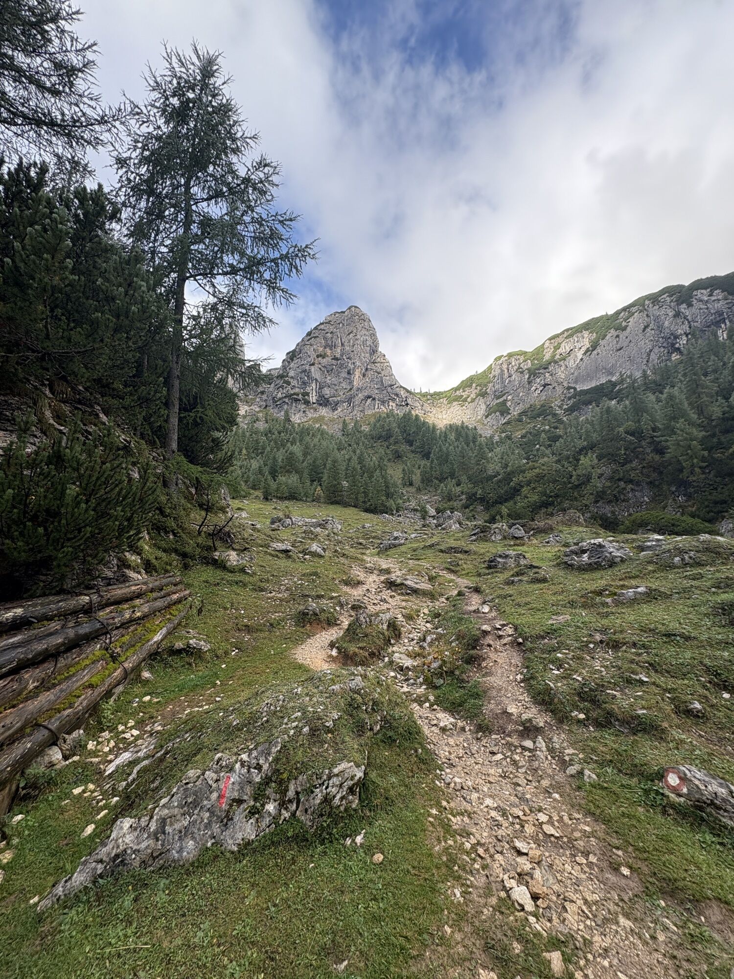
From the shepherd’s hut, continue again upward to the right, passing around Arnova glava. On its far side, find the most suitable passage upward across another steeper section, which leads to the lower edge of the broad Ržki podi plateau.
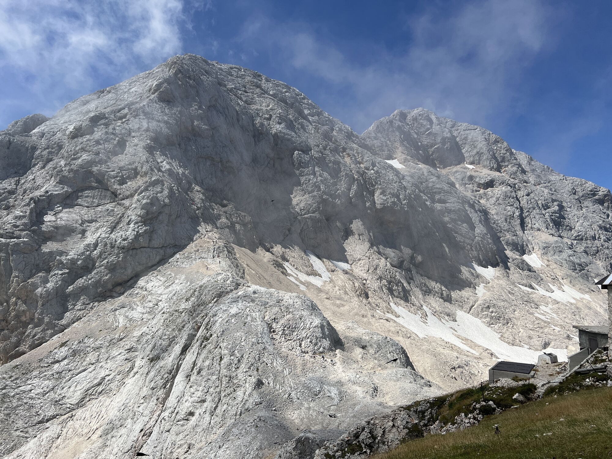
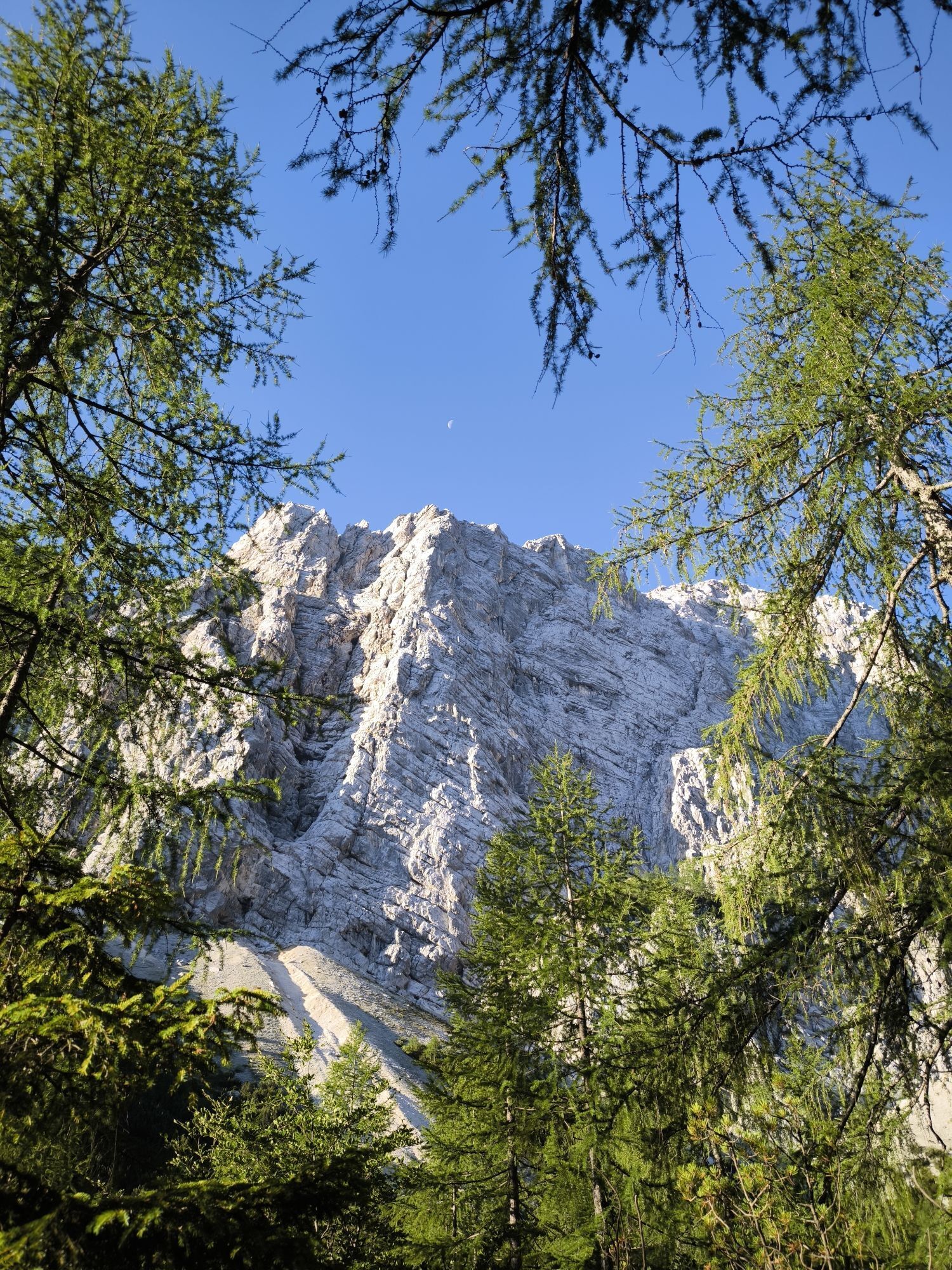
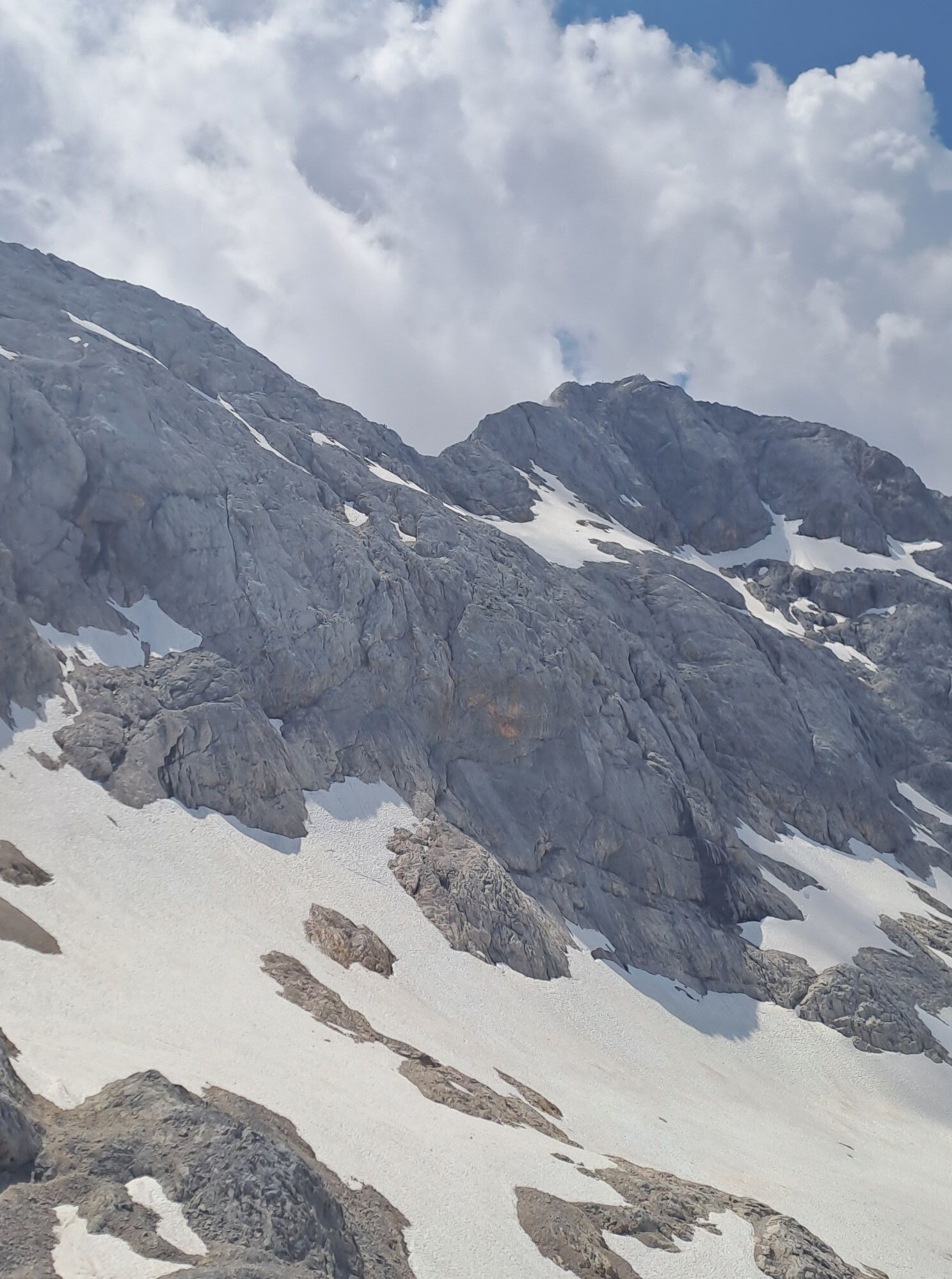
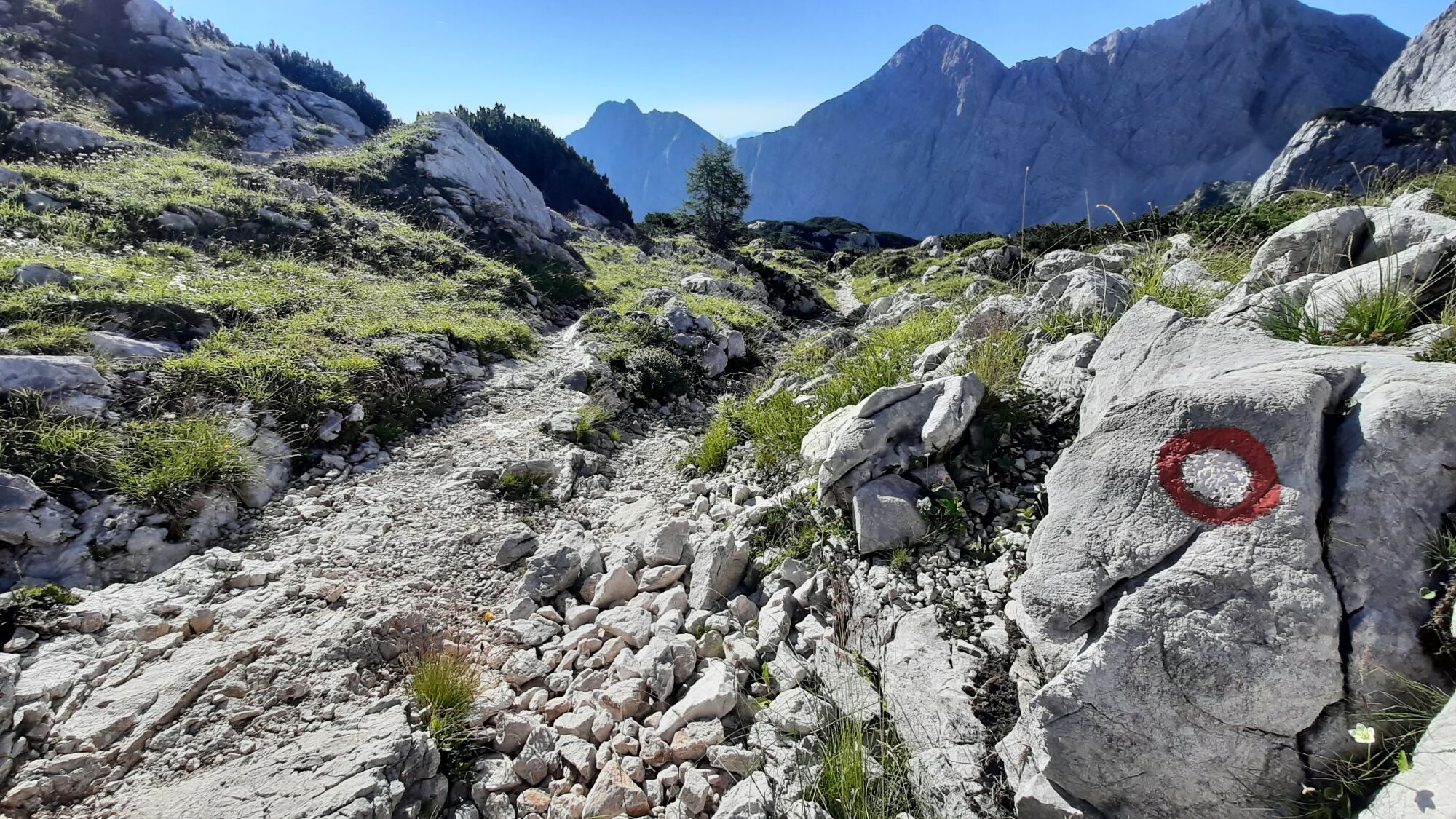
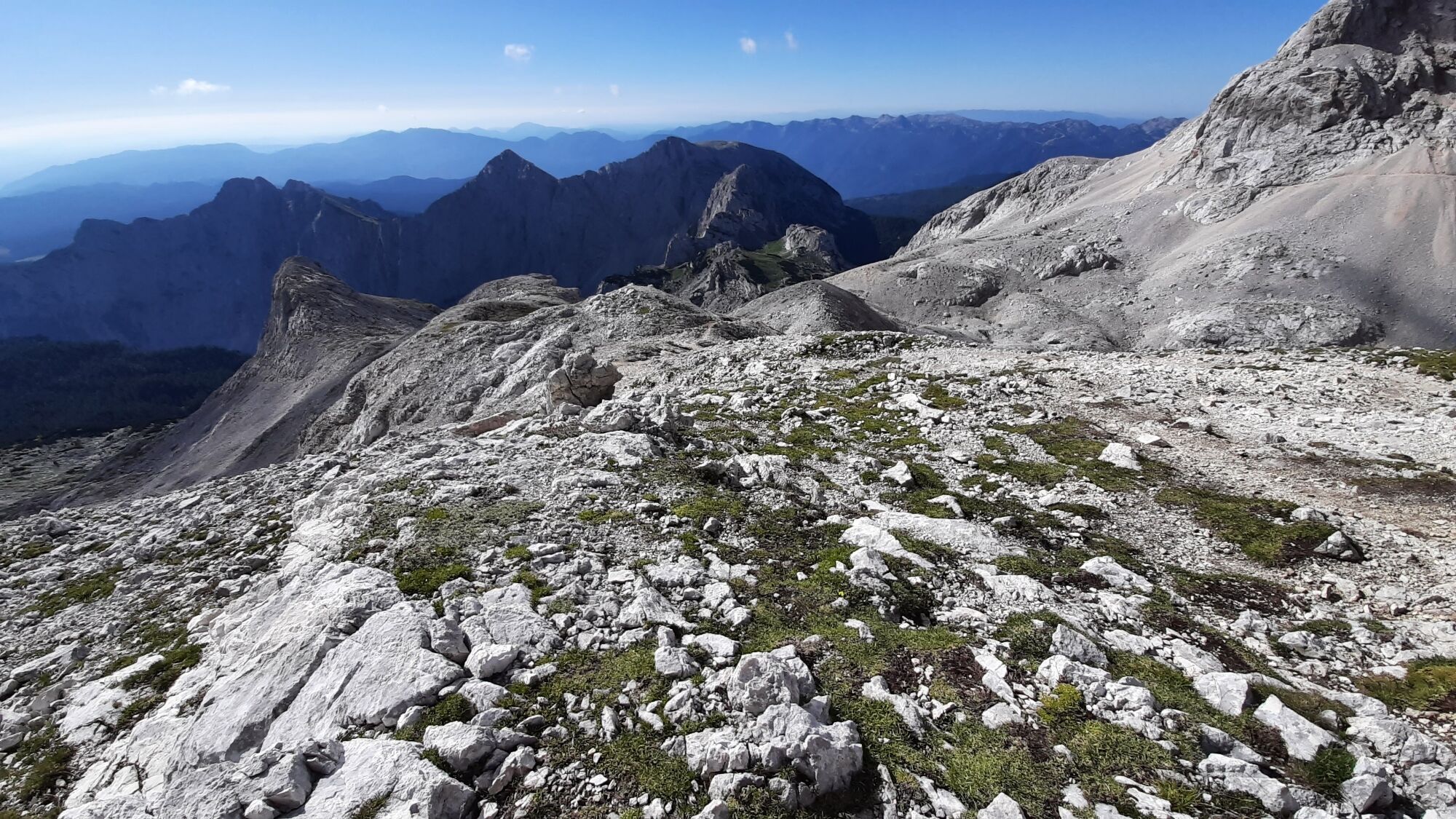
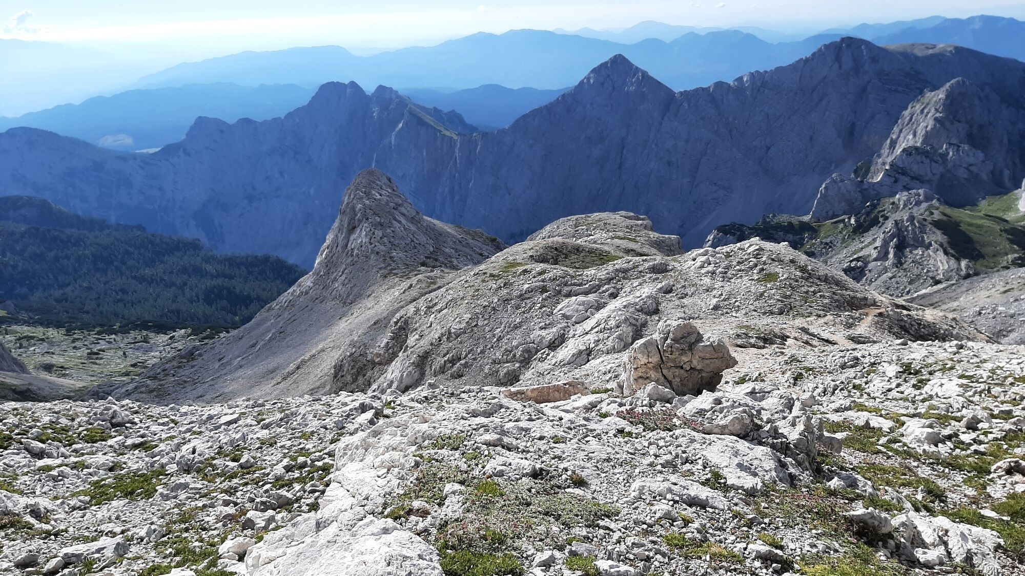
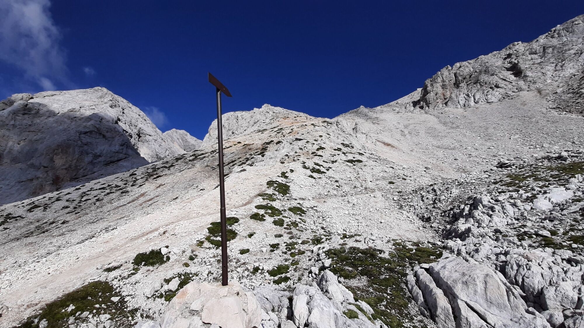
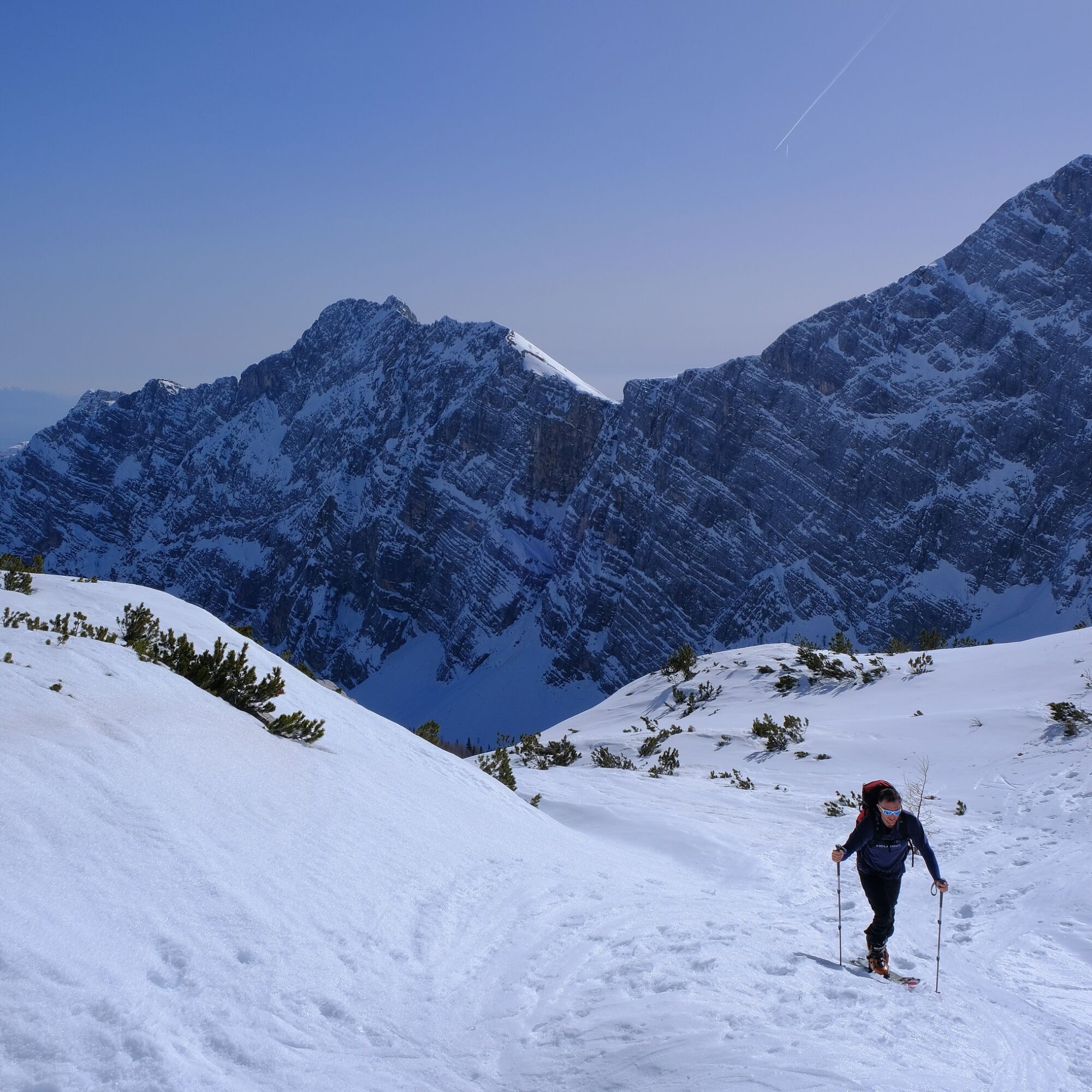
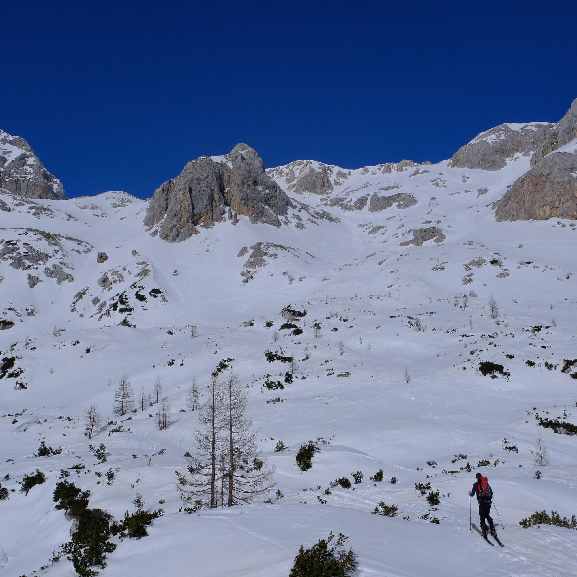
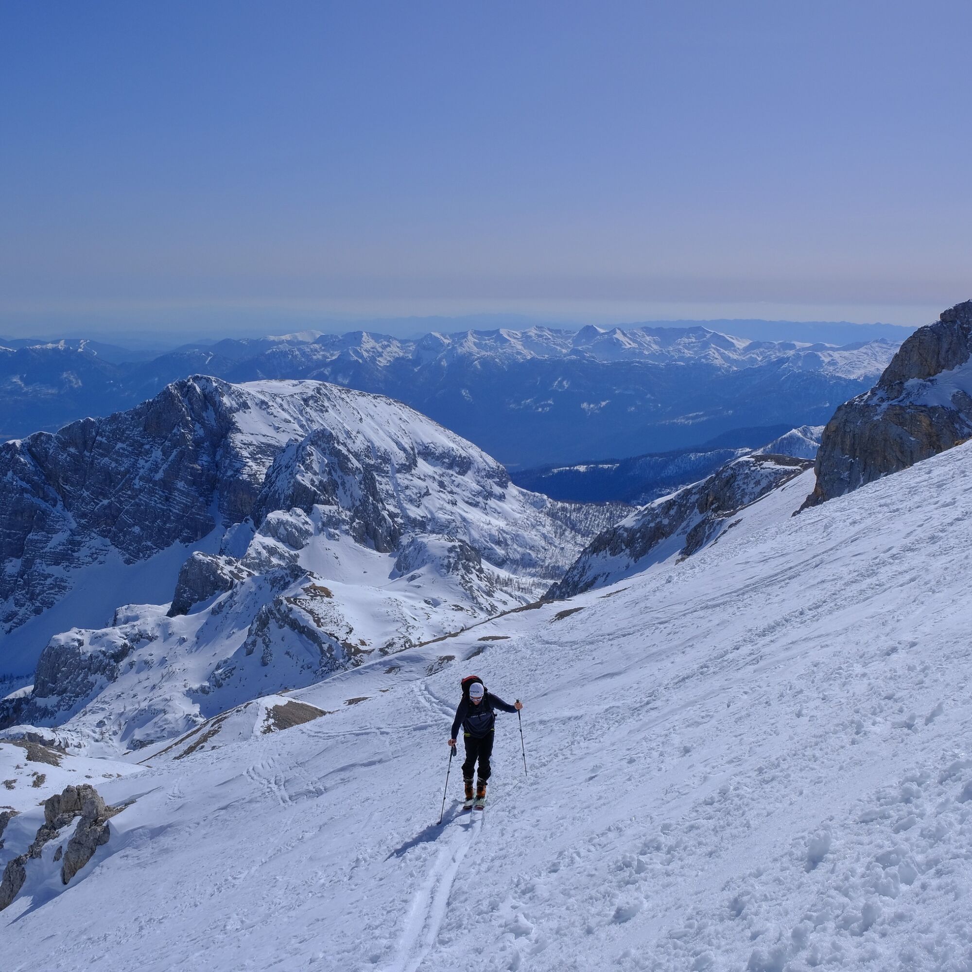
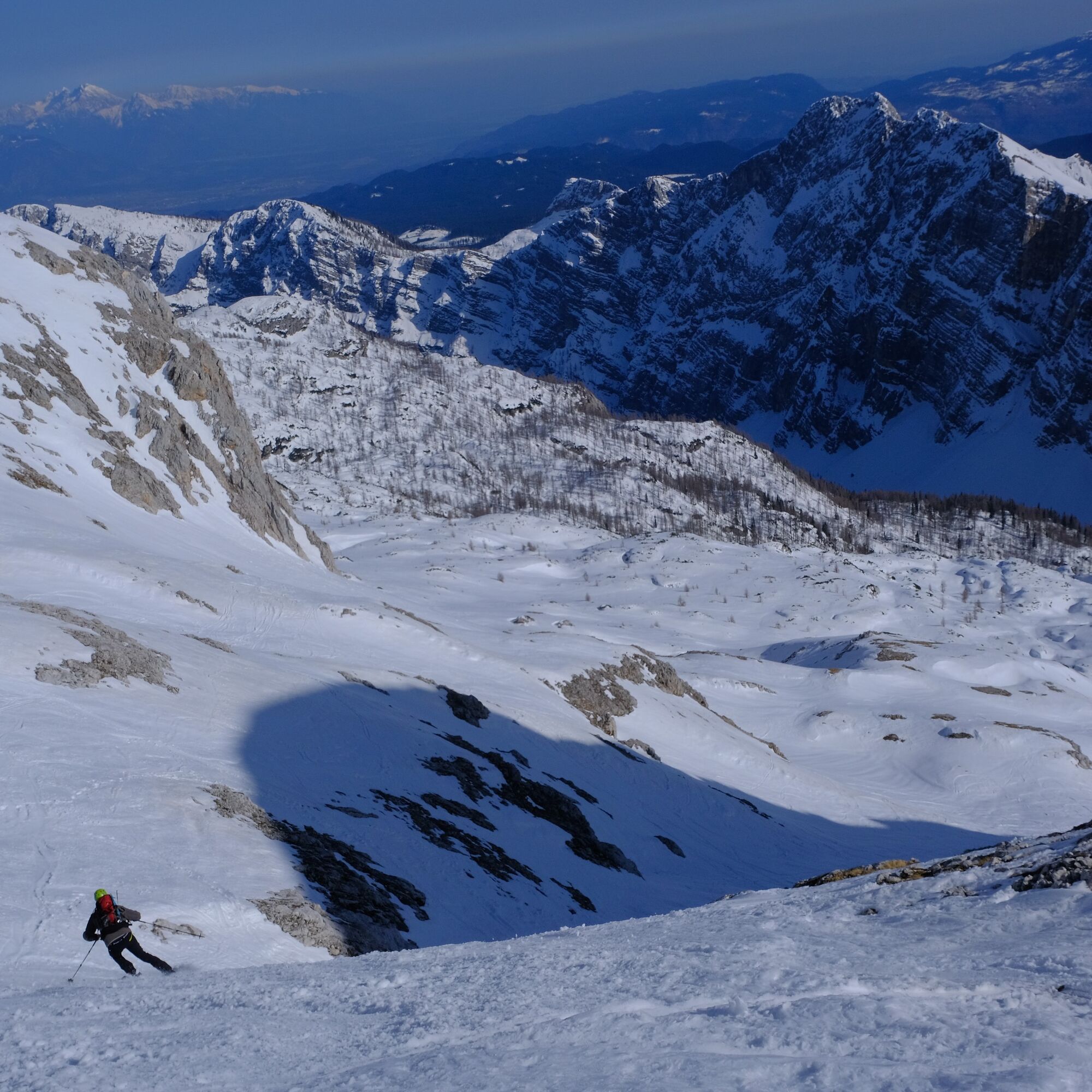
Once the terrain opens up, we are at around 2000 m, with just over 500 vertical meters remaining to the destination. High on the right rises the rocky ridge of Rž, while on the left towers Mali Triglav. Between them stands the distinct rocky summit of Vrh Snežne konte, behind which lies the continuation of the Kalvarija ridge that leads directly to our goal.
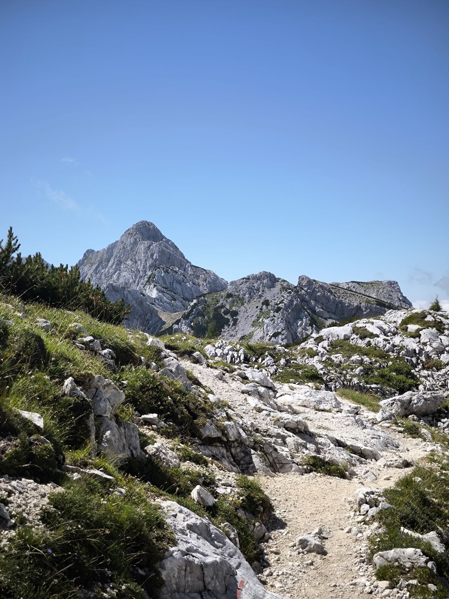
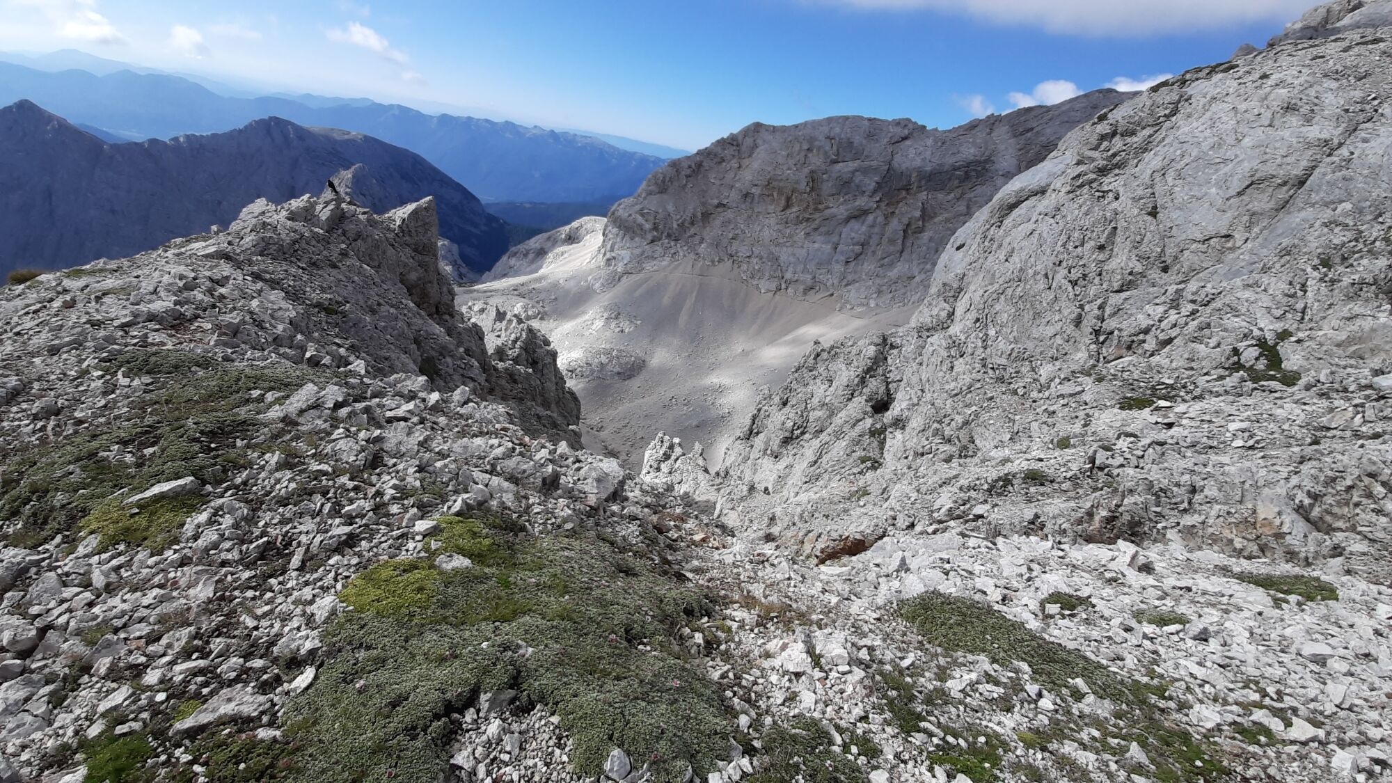
Head toward the prominent gully on the right/eastern side of Vrh Snežne konte and continue through it — in avalanche-prone snow conditions, use its safer right edge — all the way to the steeper upper section, where you can traverse left without major difficulty onto the Kalvarija ridge.
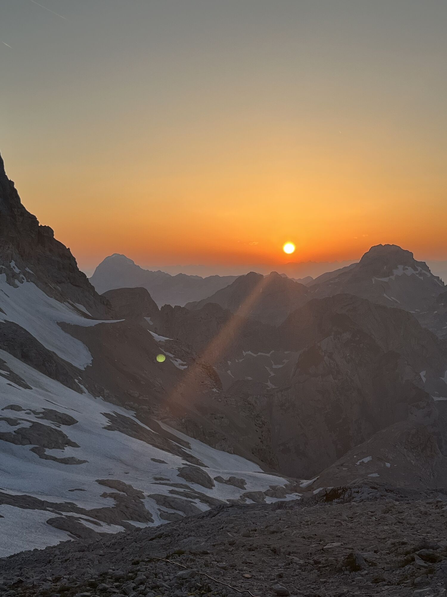
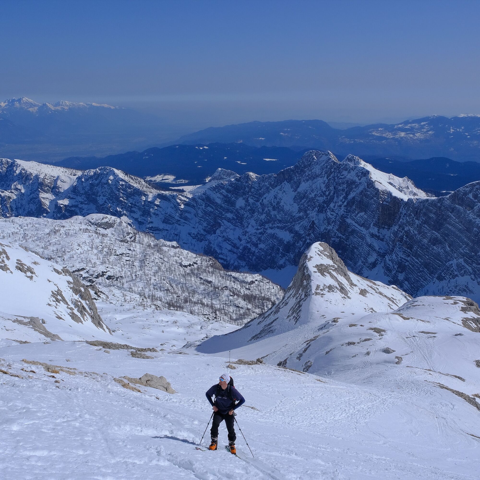
Only about 100 vertical meters of climbing remain along this ridge, and around the final corner the long-awaited Triglav Lodge at Kredarica (2515 m) appears.
The vastness of the area offers several different descent options. These variants can be safely explored if you know the terrain well; for a first visit, however, the safest choice is to return via the ascent route. All skiing options are rewarding and similarly beautiful.
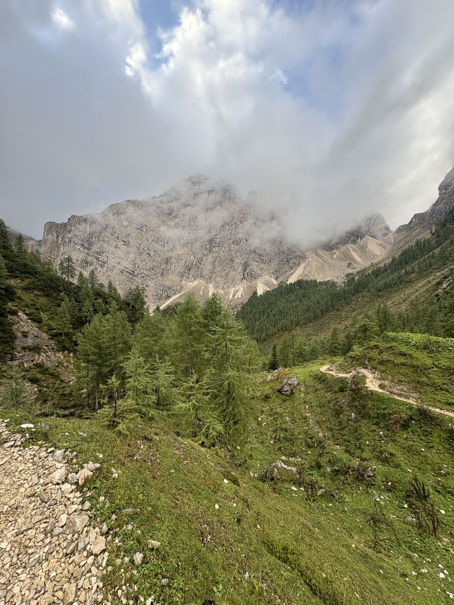
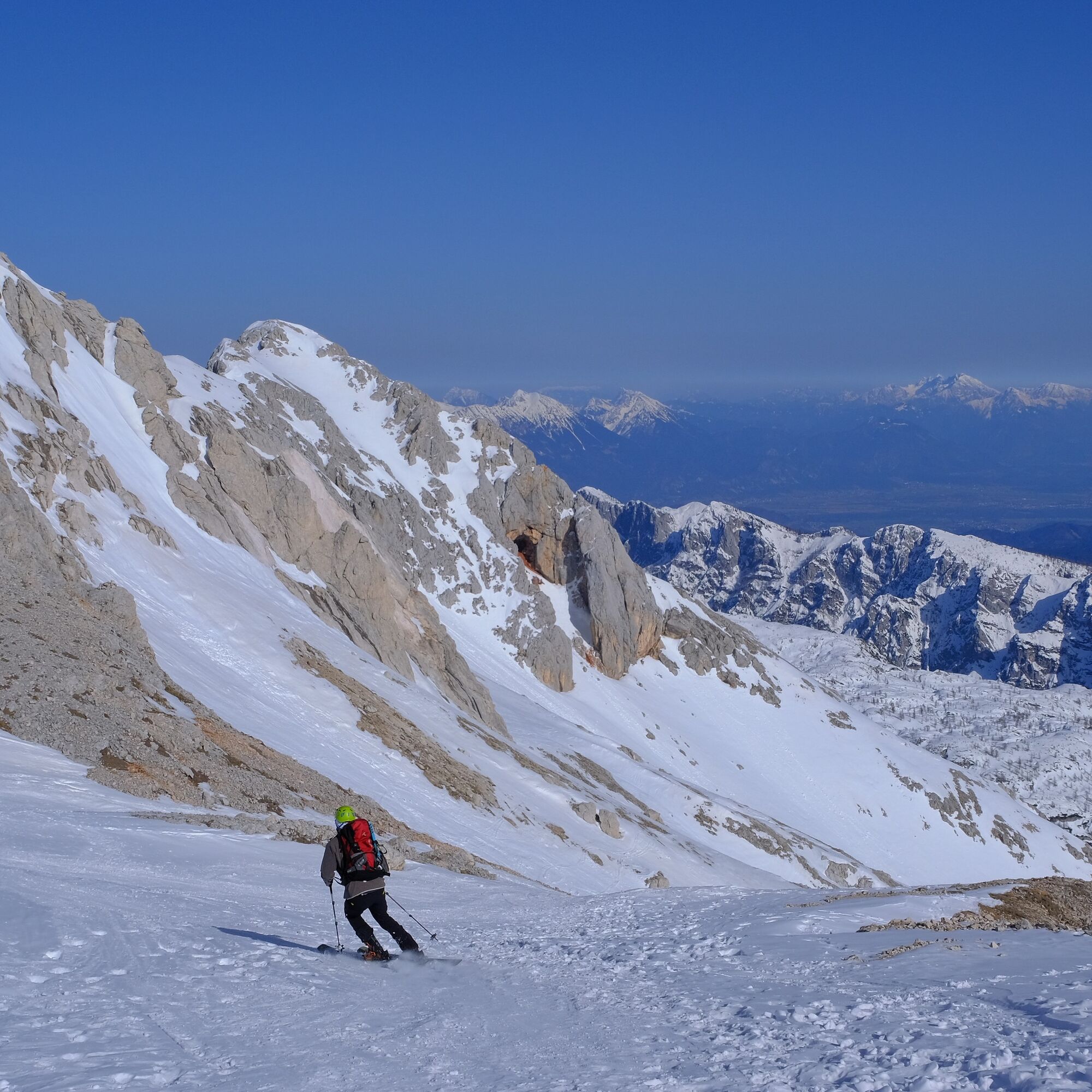
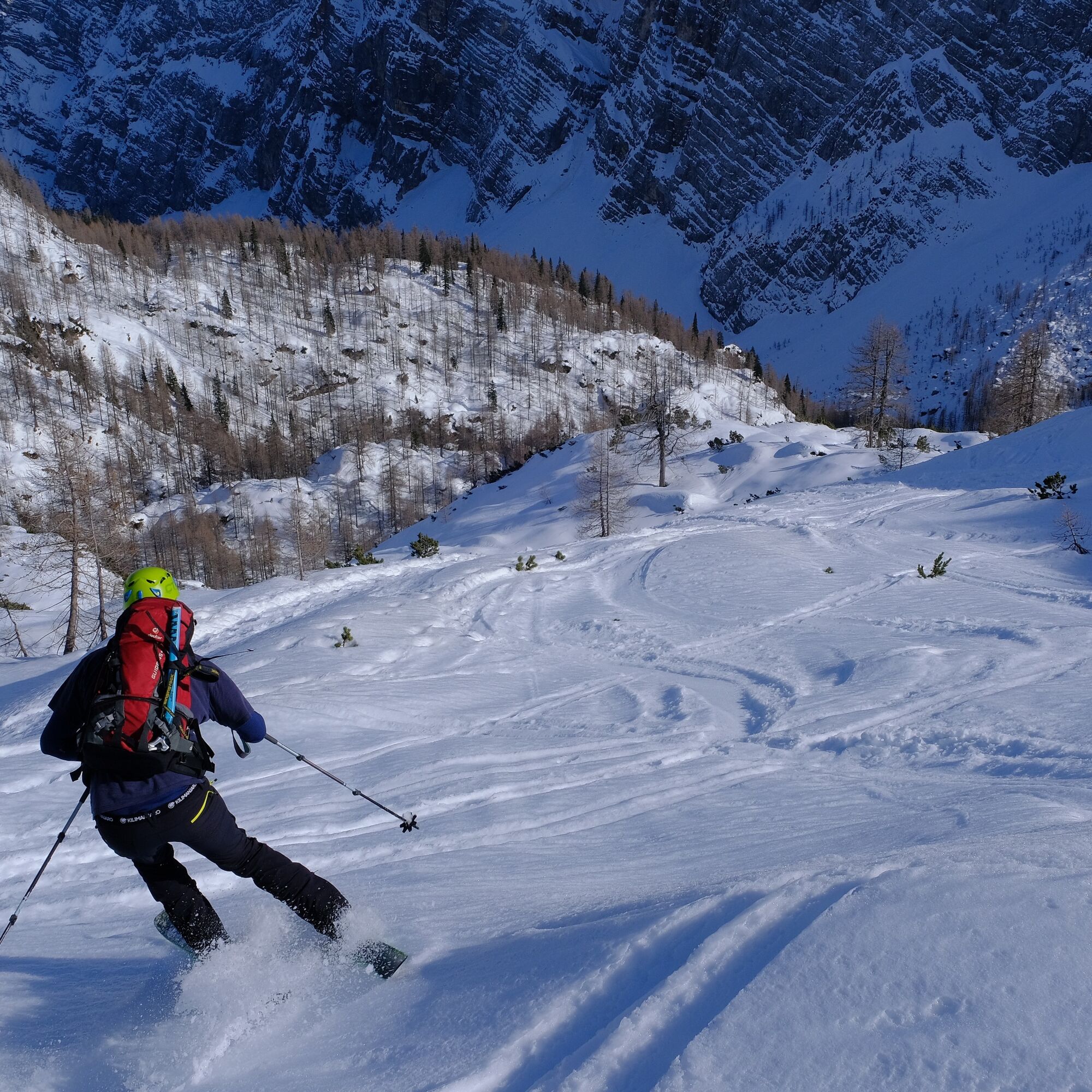
From Kredarica, ski down along the ascent route through the magnificent gully, at times somewhat steeper around Arnova glava, and continue downward across Zgornja Krma pasture to Polje — the flat area where, on the ascent, we turned off from the main valley toward Kredarica. From here onward — IMPORTANT — do not continue along the ascent route. Instead, ski straight across the flat, through larches and hollowed terrain onto the broad scree and avalanche slopes beneath the northern walls of the Draški vrh peaks. This more than 2 km long diagonal descent will almost entirely spare you the less enjoyable maneuvering through forest.
At the end of this traverse, ski down into the forest and back to the valley floor. Following the morning skin track, you can comfortably glide the remaining distance back to the parking area, or to the snow line in later spring conditions.
Tak
Standard winter gear: avalanche beacon, probe, shovel, touring skis, bindings, boots, helmet, skins, ski crampons, crampons, and ice axe.
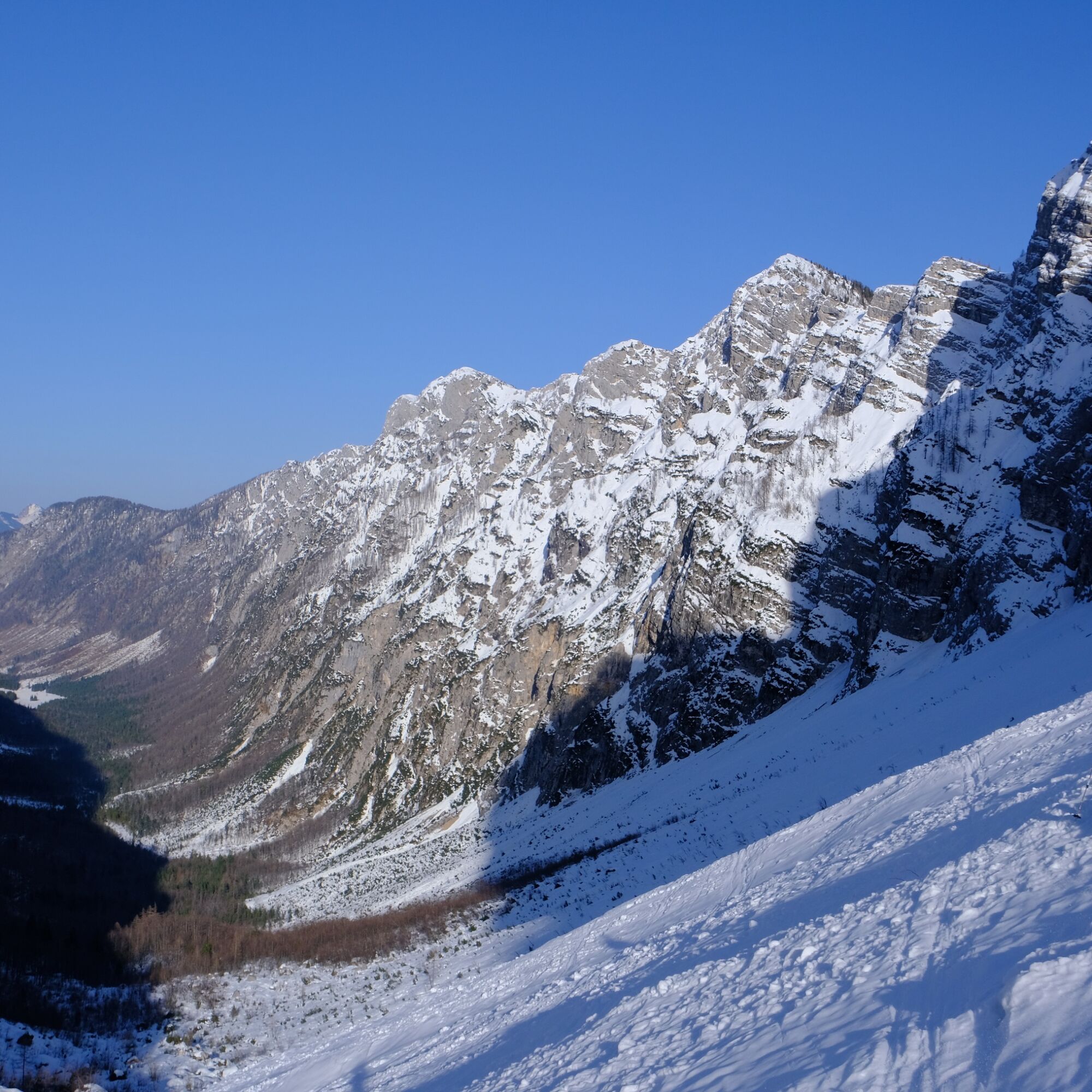
In good snow conditions the tour is relatively safe, but in poorer conditions dangers increase quickly, especially due to the length. Below the walls of the Draški vrh peaks (when leaving the forest), below Kurica, around Arhova glava, and while traversing Žleb above Kalvarija, avalanche danger is high after heavy snowfall. On the same sections, slips are likely if the terrain is icy. Navigation requires caution, especially when finding passages around Arnova glava.
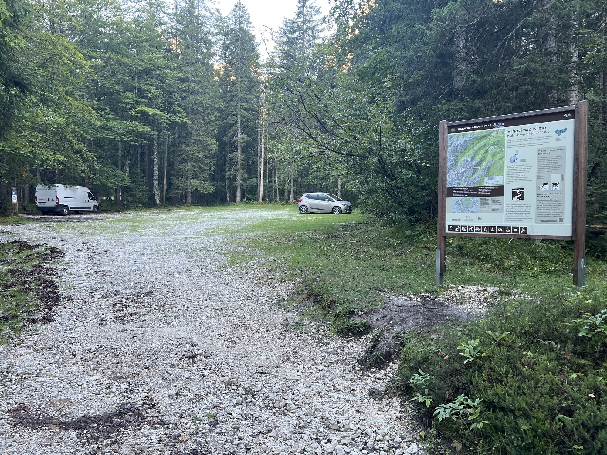
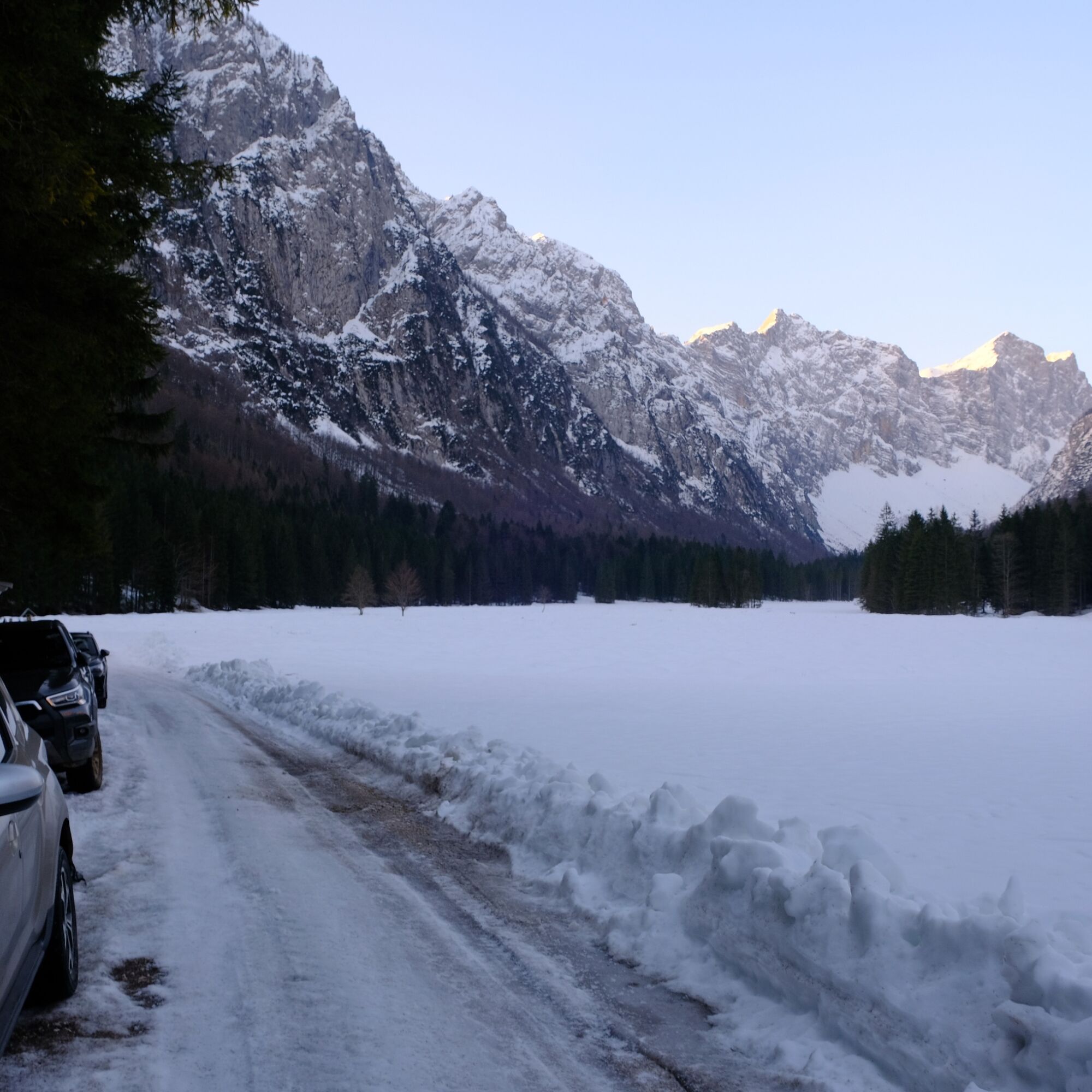
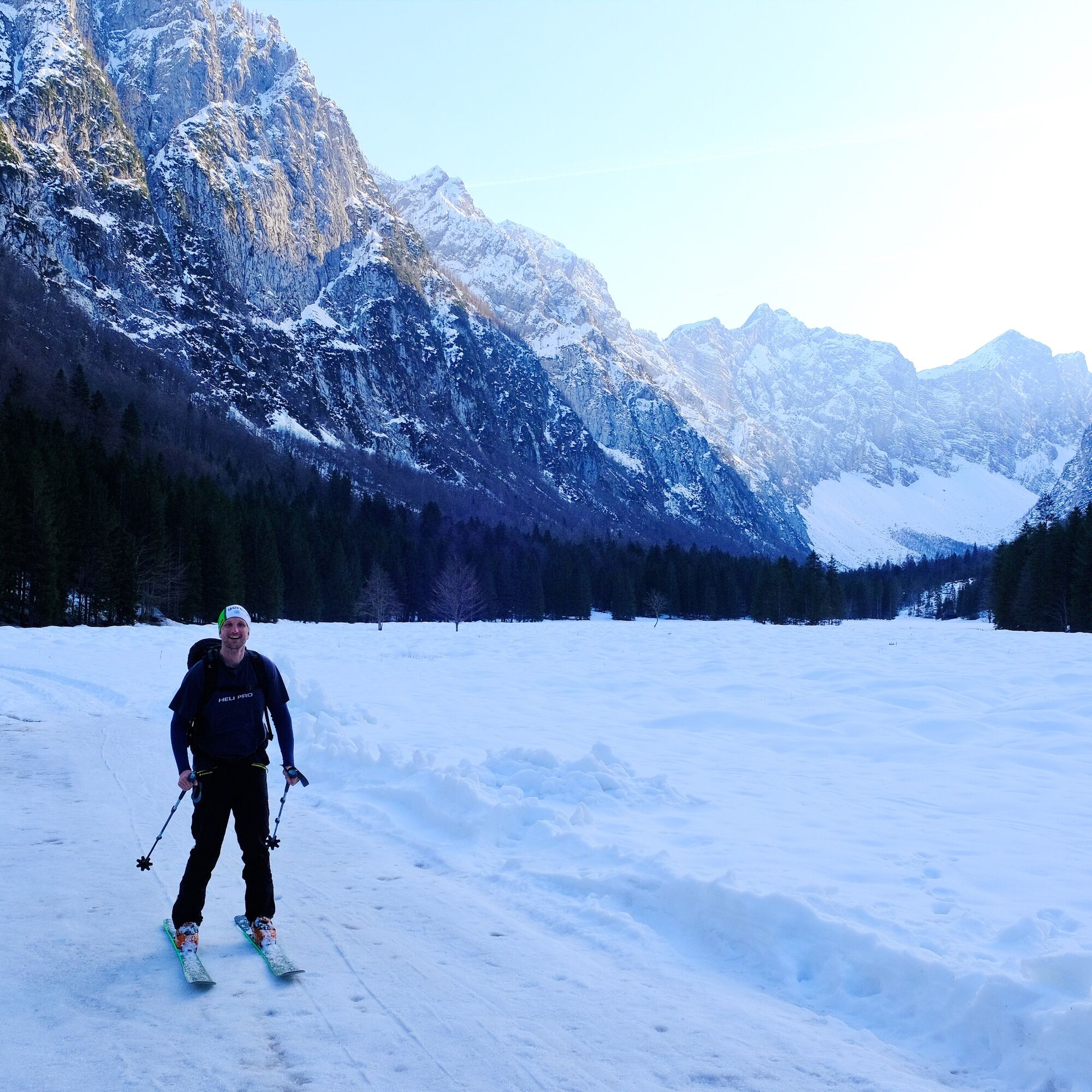
From Mojstrana: In the center of the village, turn left toward Radovna. In Upper Radovna, take the right turn through Kurja Vas and continue toward Kovinarska Hut in the Krma Valley. Park at the small parking area below the hut. If the road is not plowed, park near the last houses in Kurja Vas. In that case, the walking approach is extended by approximately 3 km. From Mojstrana to Kovinarska Hut is 7.8 km.
No public transport to the starting point. Private transfers can be arranged from Bled or Mojstrana.
Parking along the road below Kovinarska Hut.
PD+
On return you can drive back via Bled and reward yourself with the traditional Bled cream slice.
You can enrich this already excellent tour with an ascent of Triglav itself. For this you need full winter mountaineering equipment, skills and experience, or a certified guide. If you choose this combination, it’s best to spend the night at Kredarica, climb the summit in the morning, and then ski down to the valley.
Kamery internetowe z trasy
Popularne wycieczki w okolicy
-
4,9
Krma - Triglav
ciężkiWycieczki górskie 18,6 km -
4,7
Viševnik 2050m
światłoWycieczki górskie 6,97 km -
4,4
Krnica Hut
średniWędrówka 14,9 km -
4,5
Savica Wasserfall
średniWędrówka 1,89 km -
4,9
Triglav
ciężkiWycieczka wysokogórska 12,1 km -
4,6
Roundthelake
światłoWędrówka 11,4 km -
3,8
Prisojnik Fensterweg (Okno) (B/C)
Via ferrata 6,20 km -
4,6
Spaziergang entlang der Pišnica
światłoWędrówka 8,13 km -
4,3
Slap Slavica
średniWędrówka 9,62 km -
4,6
Wasserfall Pericnik
średniWędrówka 5,29 km
Wędrówki i tropienie


Nie przegap ofert i inspiracji na następne wakacje
Twój adres e-mail została dodana do listy mailingowej.