


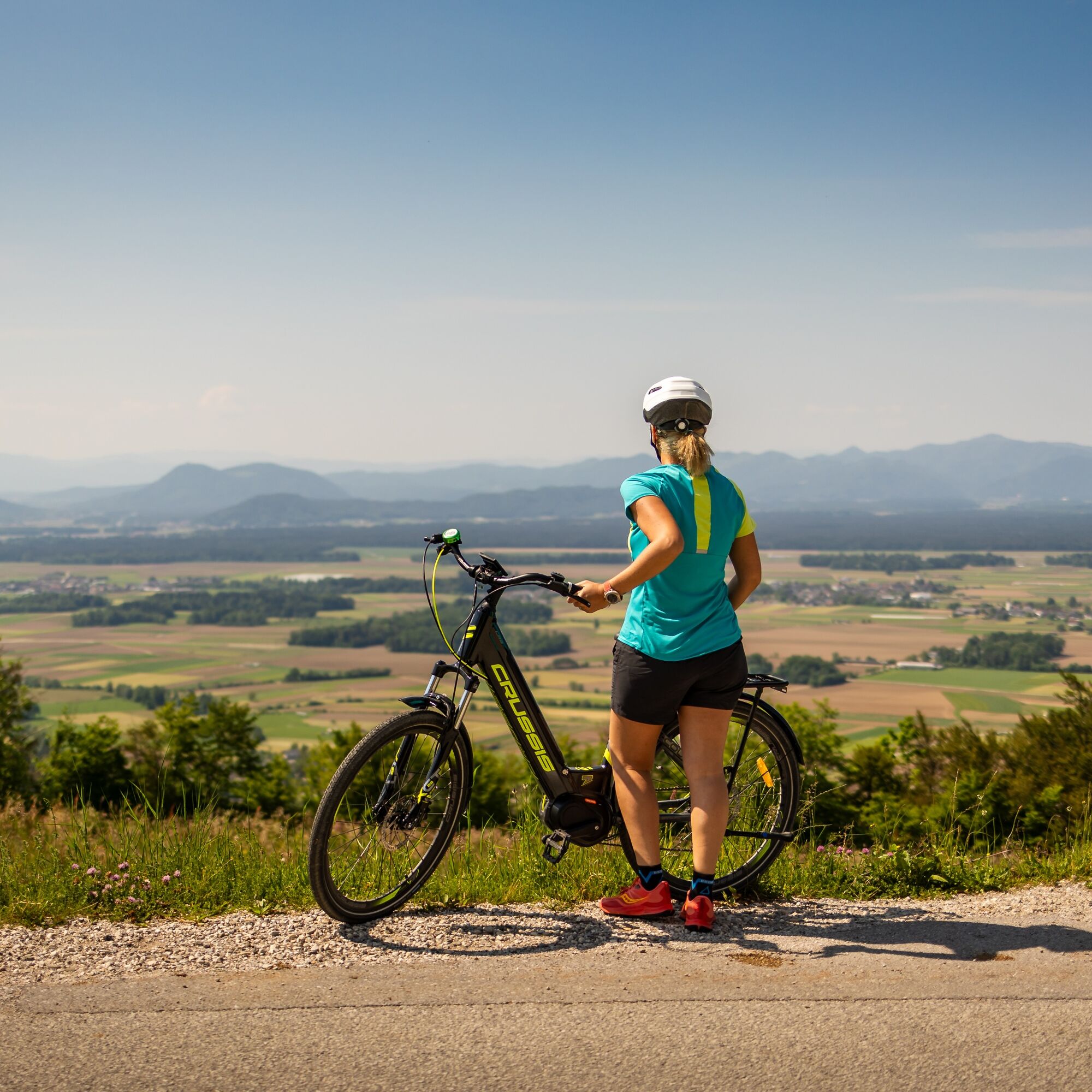
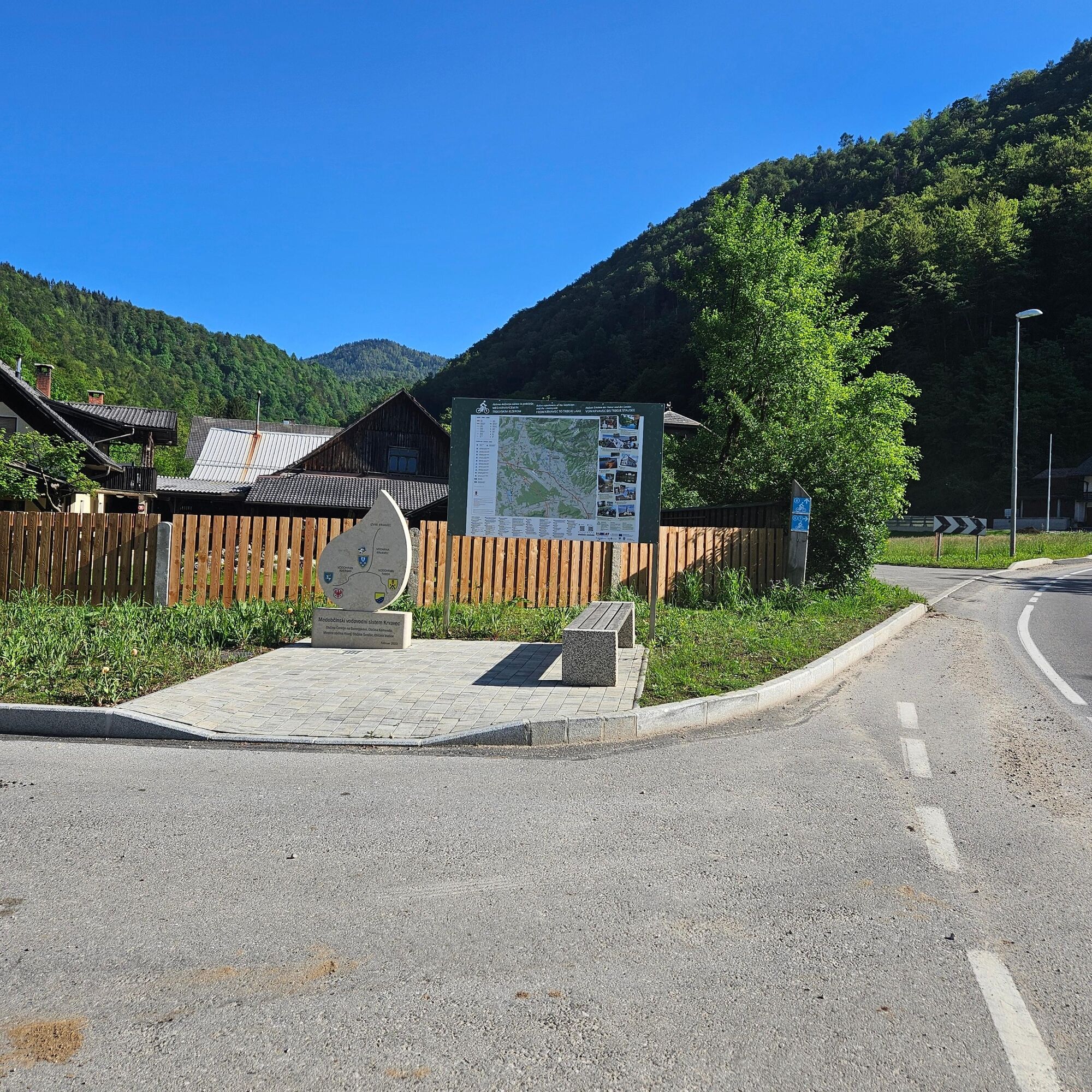
Bike trail Cerklje 6: Šenturška Gora
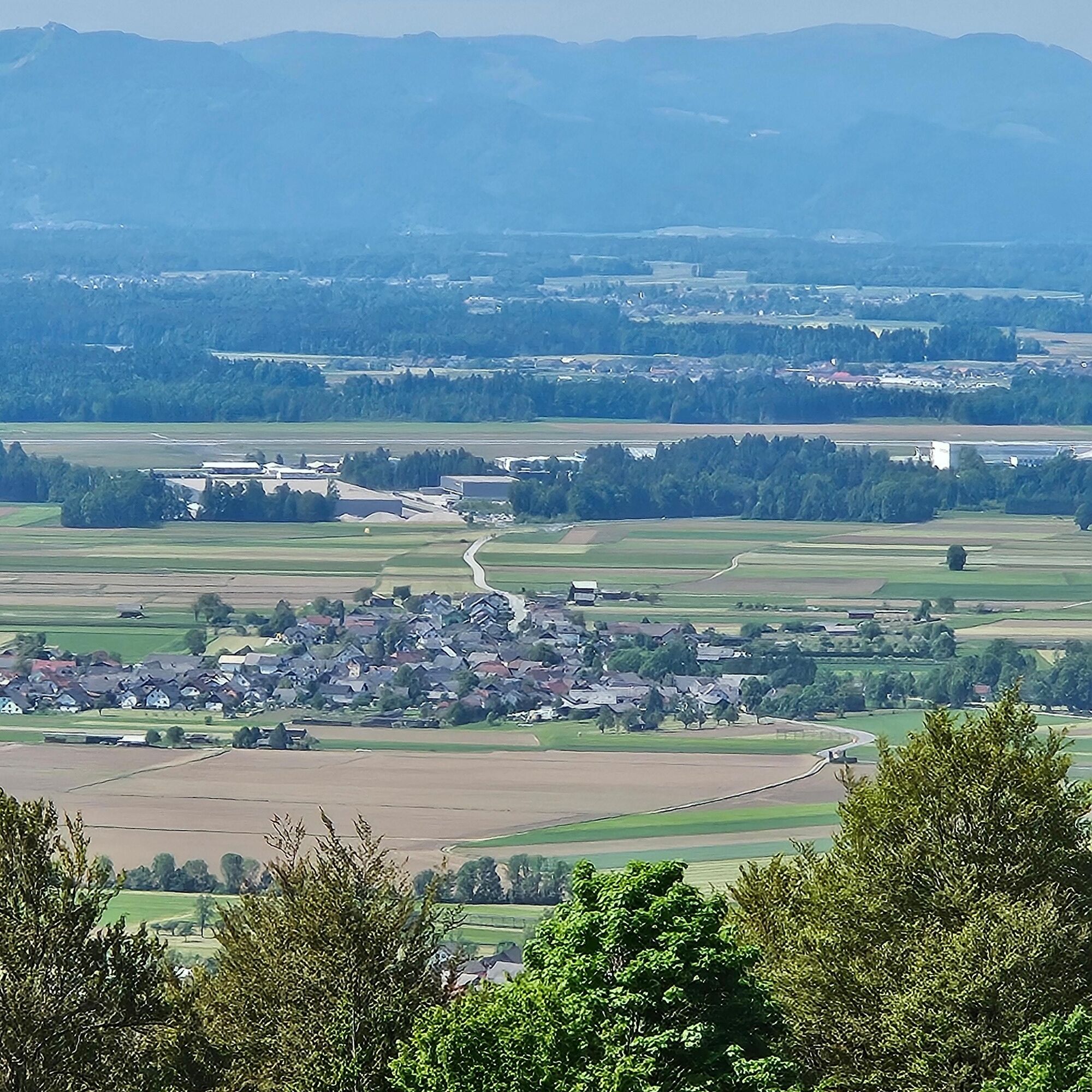
The route will give you a "first taste" of the famous Krvavec bike climb, but than levels and revards with beautifull views riding through the villages perched on the slopes. The views strech from the...
The route will give you a "first taste" of the famous Krvavec bike climb, but than levels and revards with beautifull views riding through the villages perched on the slopes. The views strech from the villages bellow around Cerklje, all the way to the Ljubljana basin on one side and the Julian Alps with Triglav in the background on the other side.
The length of the route is 12.3 km with a height difference of 332 m. Cycling time in both directions is 1 hour 30 minutes.

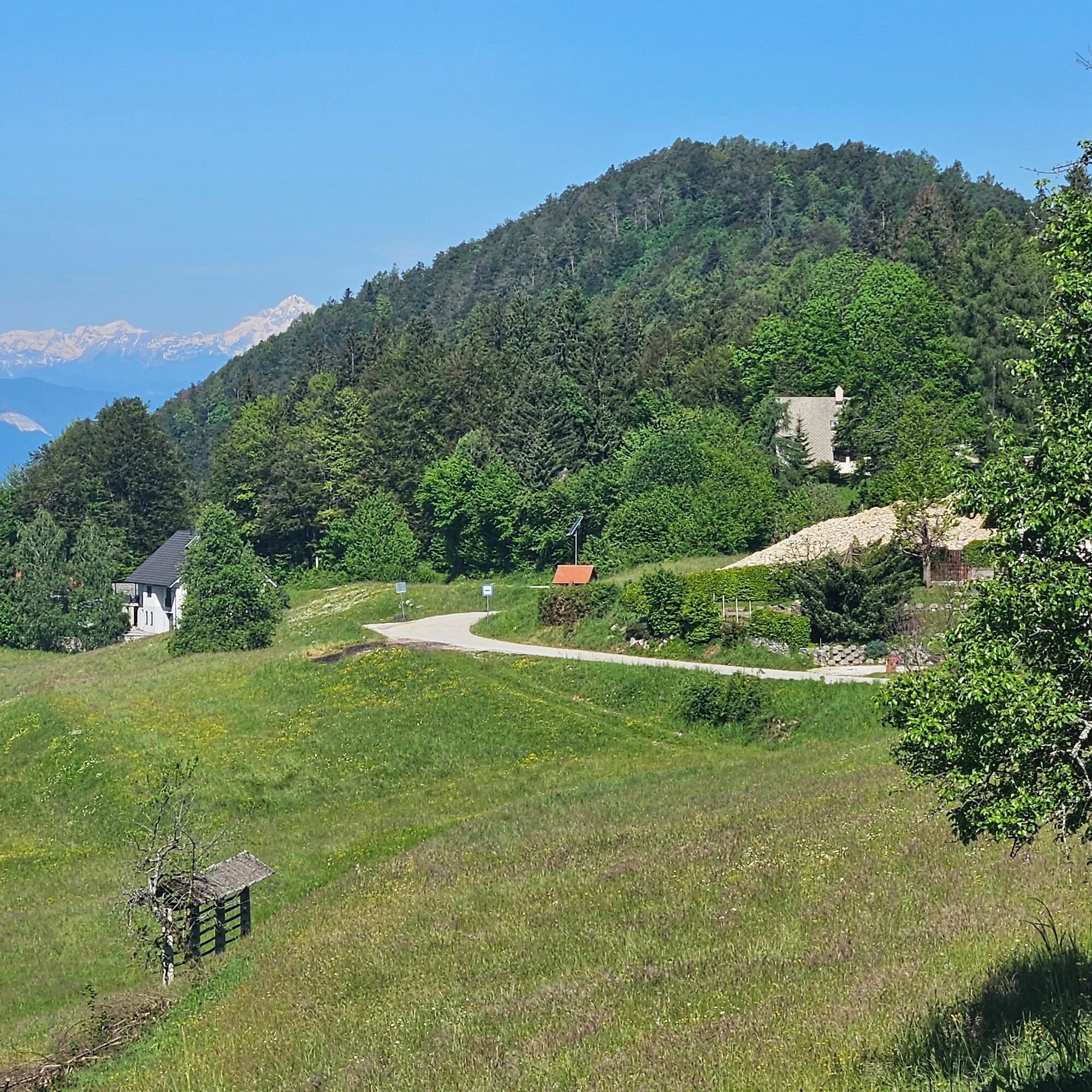
The start of the route is at TIC Cerklje, where you turn left along the main road to the north, towards Krvavec. At the intersections, turn right twice and head up the slope towards the top of Krvavec. At the first major intersection, the road continues straight (not left!)to the village of Ravne and further to the village of Apno and in the end , Šenturska gora. In front of the Regional Office house, and under the church of St. Urh, the route ends and turns back to the starting point. The path from the village of Grad to the village of Ravne is extremely steep.
Tak
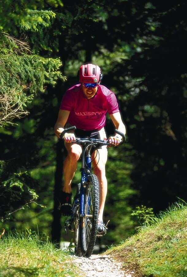
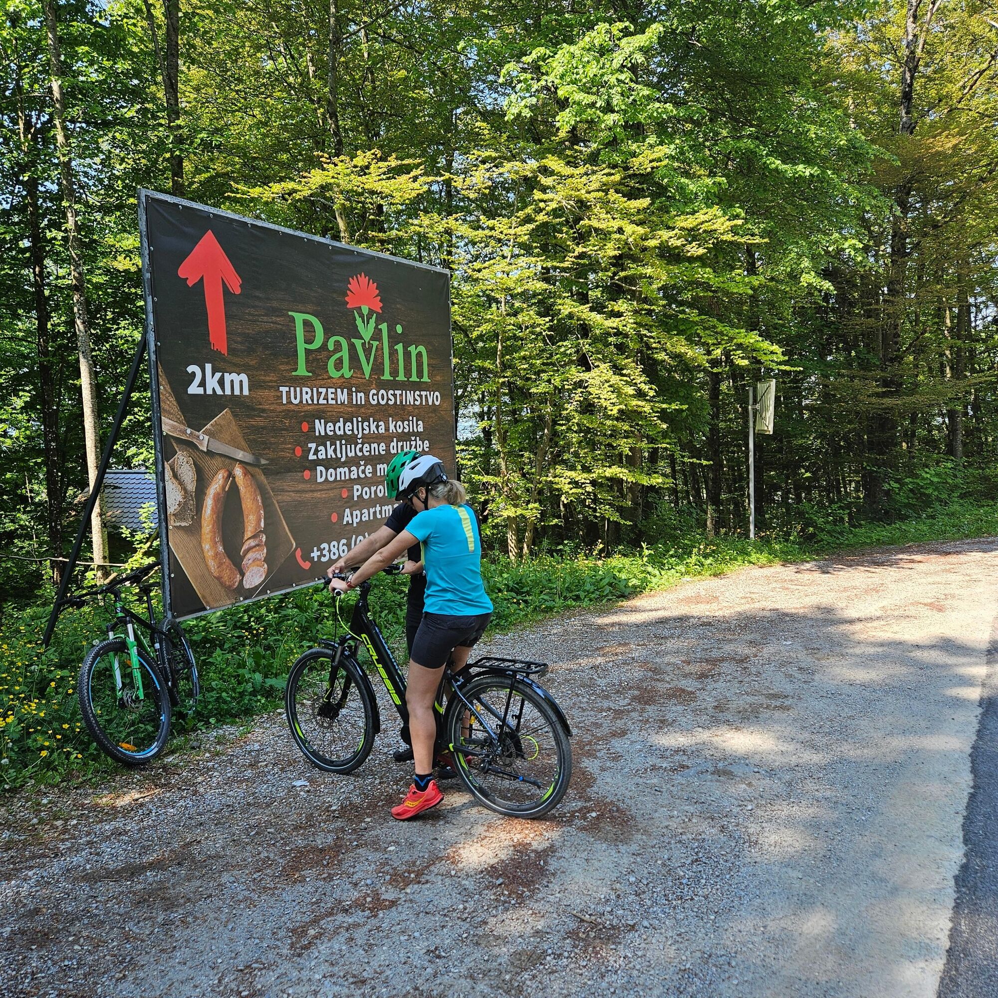
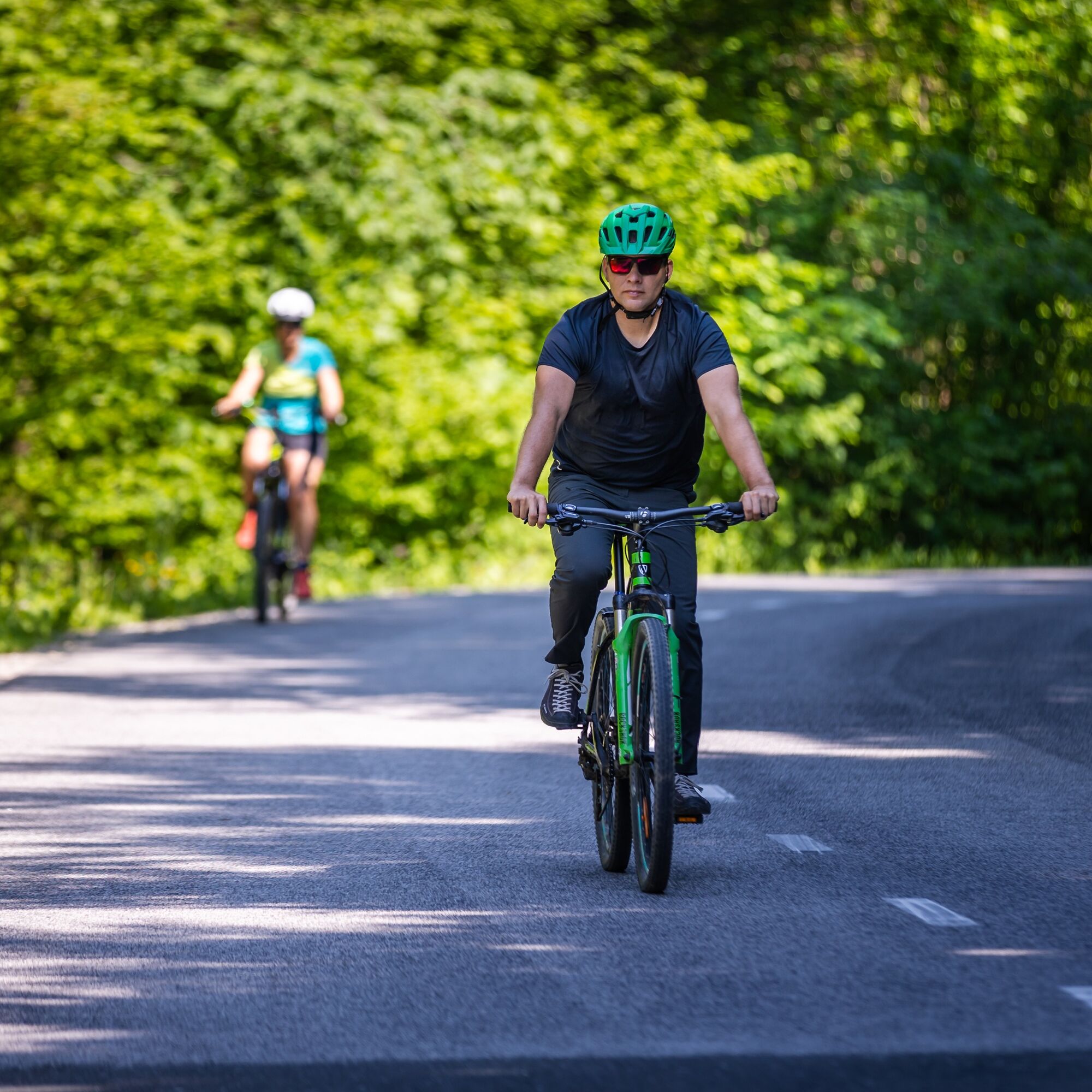
Classic cycling gear. The route is suitable for both road and MTB bikes.
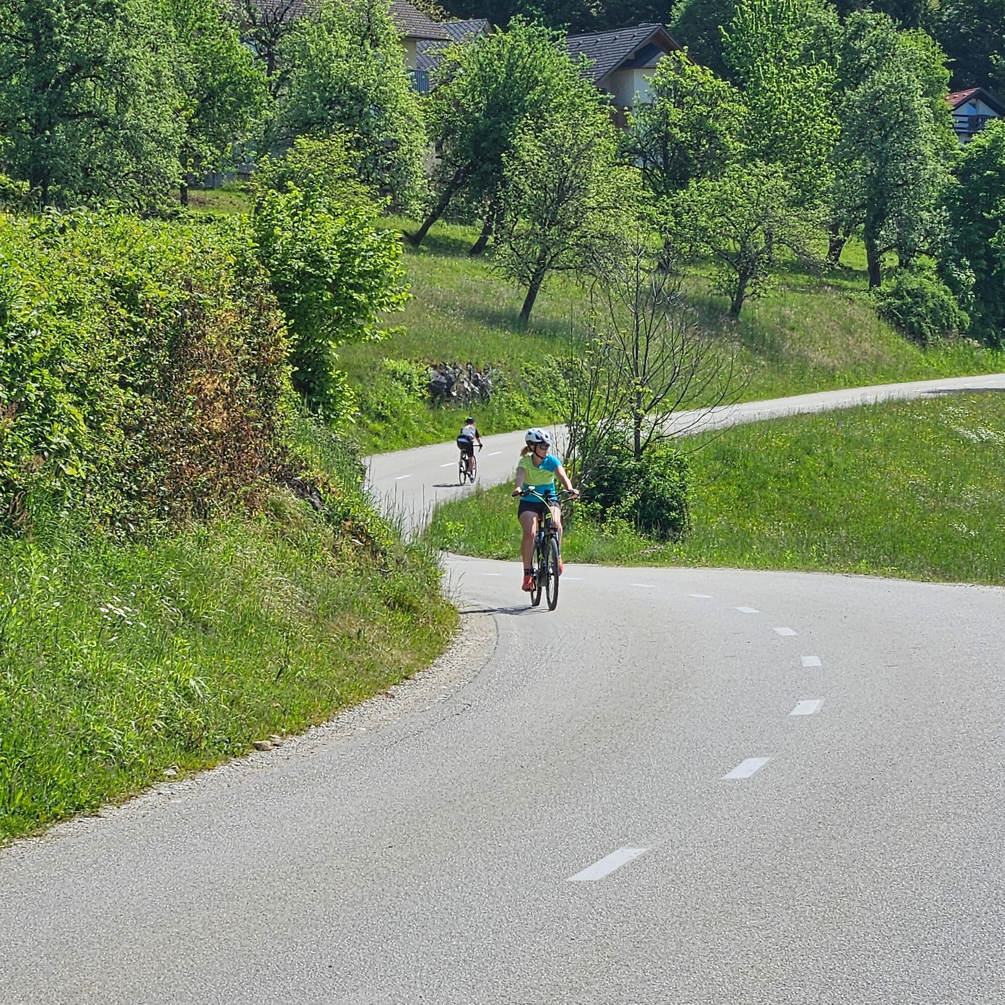
Since the route goes along the road to Krvavec, which has a lot of traffic, special caution for traffic is required.
Highway Ljubljana - Kranj, exit Vodice, local road to Cerklje
Local bus from Kranj to Cerklje
At TIC Cerklje
For more endurance, the route can be combined with a climb to Kriška planina or climb to the top of Krvavec (Jezerca)
Contact:
Zavod za turizem Cerklje / Cerklje Tourist Board
Trg Davorina Jenka 13,
SI-4207 Cerklje na Gorenjskem, Slovenija
T: +386 (0)4 28 15 822
E: info@visitcerklje.si
Part of the path is quite steep, so it is not the most suitable for small children or people that are not fit.
Popularne wycieczki w okolicy
- 3,5
Bad Eisenkappel: Vellacher Kotschna
Wędrówka 12,1 km - 4,7
Via ferrata Češka koča
Via ferrata 2,10 km Grintovec
średniWędrówka 16,3 km- 5,0
Velika Planina
średniWędrówka 9,41 km - 4,0
Skuta Bivak
ciężkiWycieczka wysokogórska 9,30 km - 4,0
Überquerung der Steiner Alpen mit Grintovec 2.558m, Dolgi hrbet 2.473m, Skuta 2.532m, Turska Gora 2.251m, Planjava 2.392m & Ojstrica 2.350m
średniVia ferrata 27,5 km - 5,0
Steiner Alpen - Grintovec 2.558m - Anspruchsvolle Überschreitung
ciężkiWycieczki górskie 18,5 km 3 Tage in den Steiner Alpen
ciężkiWędrówka 14,4 kmOjstrica i Planjava
średniWędrówka 19,5 kmČeška koča mountain hut
średniWędrówka 4,82 km
Wędrówki i tropienie


Nie przegap ofert i inspiracji na następne wakacje
Twój adres e-mail została dodana do listy mailingowej.