







Radovljica to Zabreška planina mountain pasture + "Foreplay" on your mountain bike
Poziom trudności: S2
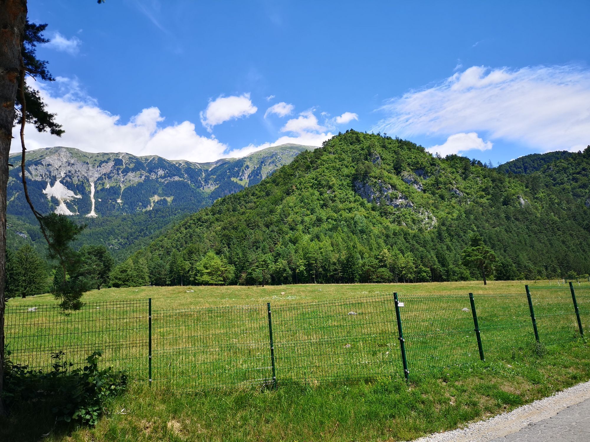
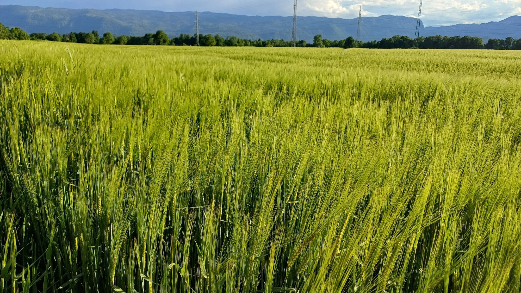
This tour is intended for the advanced mountain biker that want's to challenge himself also on the ascend and descend. The tour will take you past the endless meadows from Radovljica to our neighbouring...
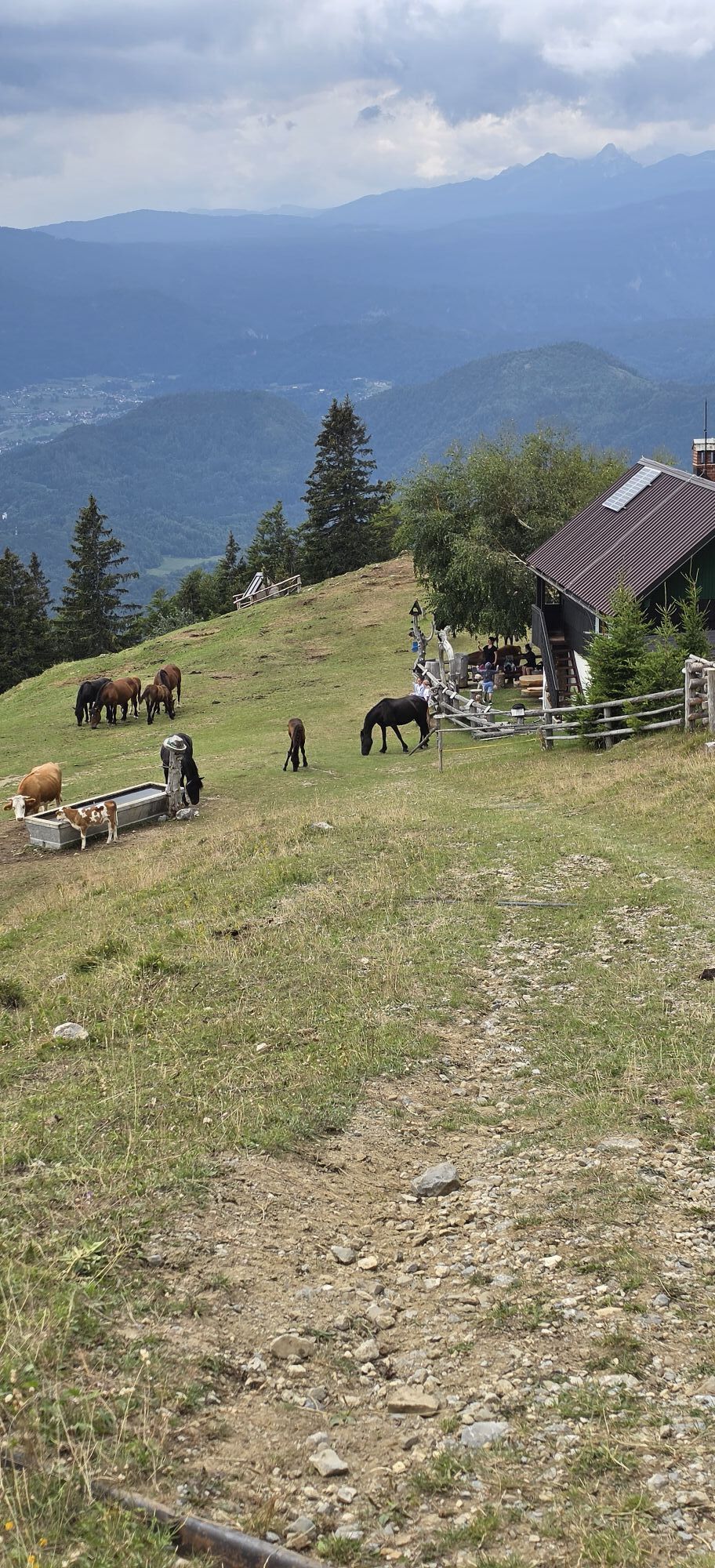
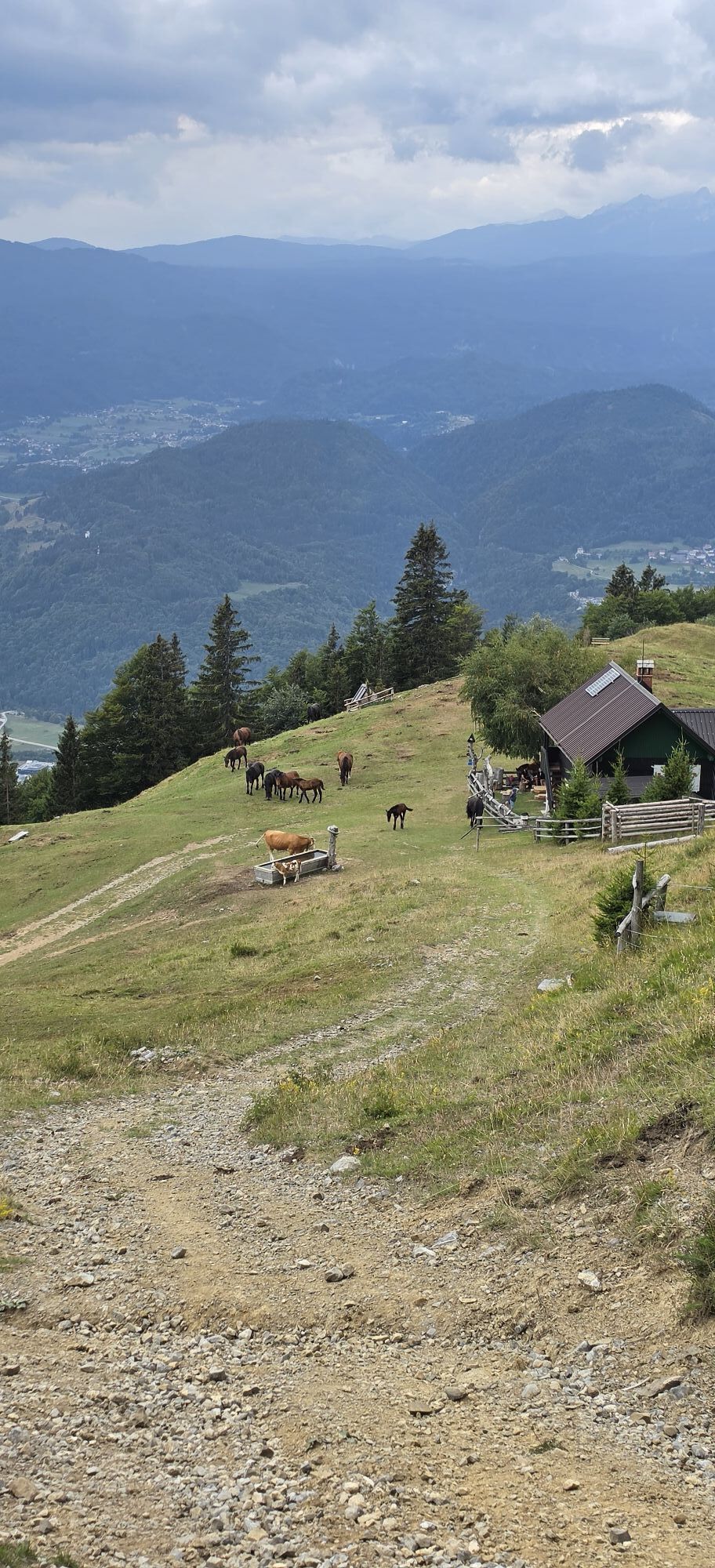
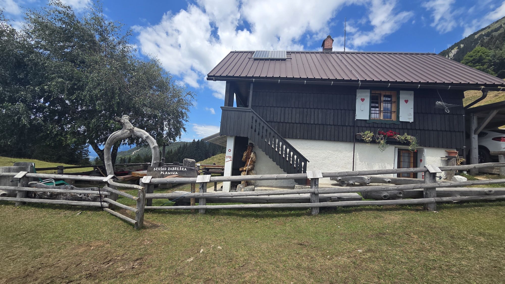
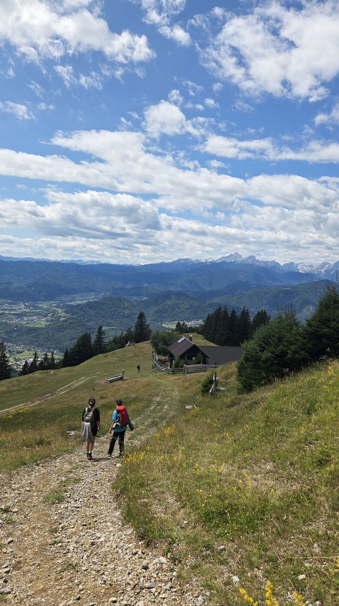
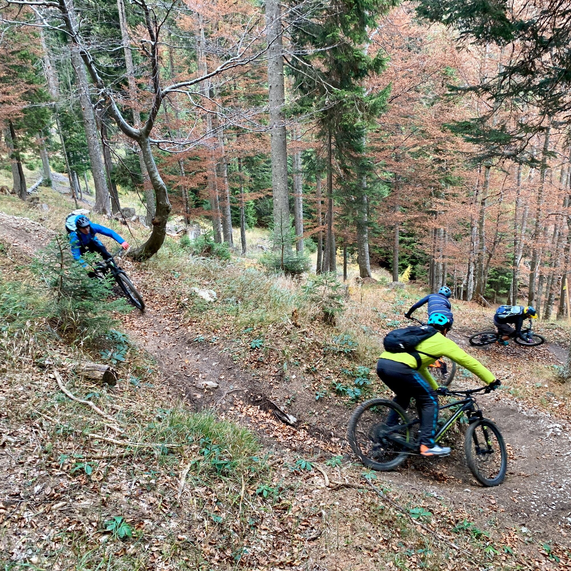
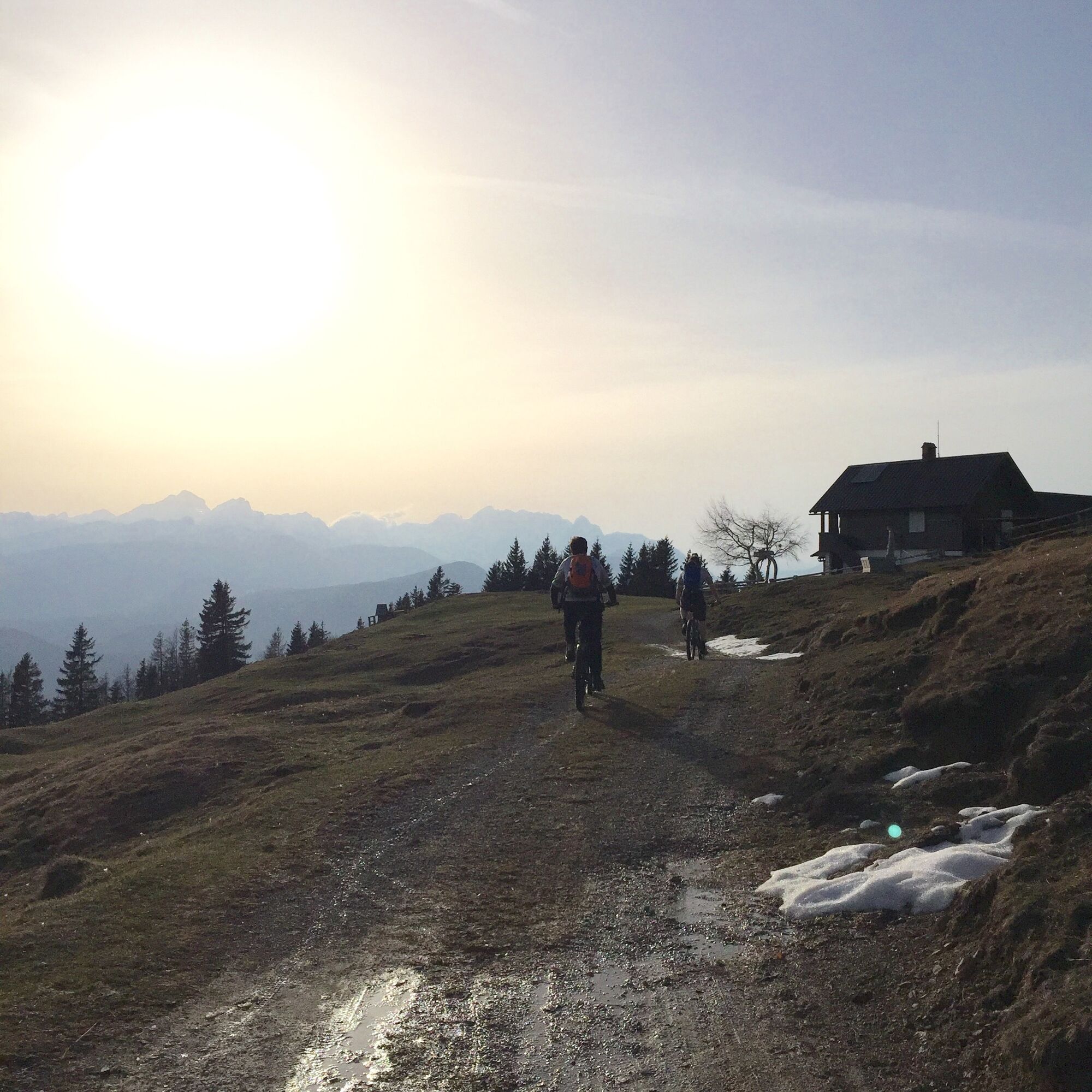
This tour is intended for the advanced mountain biker that want's to challenge himself also on the ascend and descend. The tour will take you past the endless meadows from Radovljica to our neighbouring municipality Žirovnica all the way up to Zabreška planina mountain pasture - one of the most beautiful mountain pastures in the Karavanke mountains. After a break at the top you will be rewarded with the descend on the "Foreplay" trail back down into the Završnica Valley. From there you only need to return back to Radovljica, where you can treat yourself to your preferred beverage or even lunch - you will definately deserve it after a big day on your mountain bike.

Tak
Tak
Mountain bike, helmet, backpack, personal protection (knee and elbow pads), gloves, water
The tour is intended for experienced and advanced mountain bikers that are more focused on descends with fully suspended trail, all mountain or enduro mountain bikes.
S2
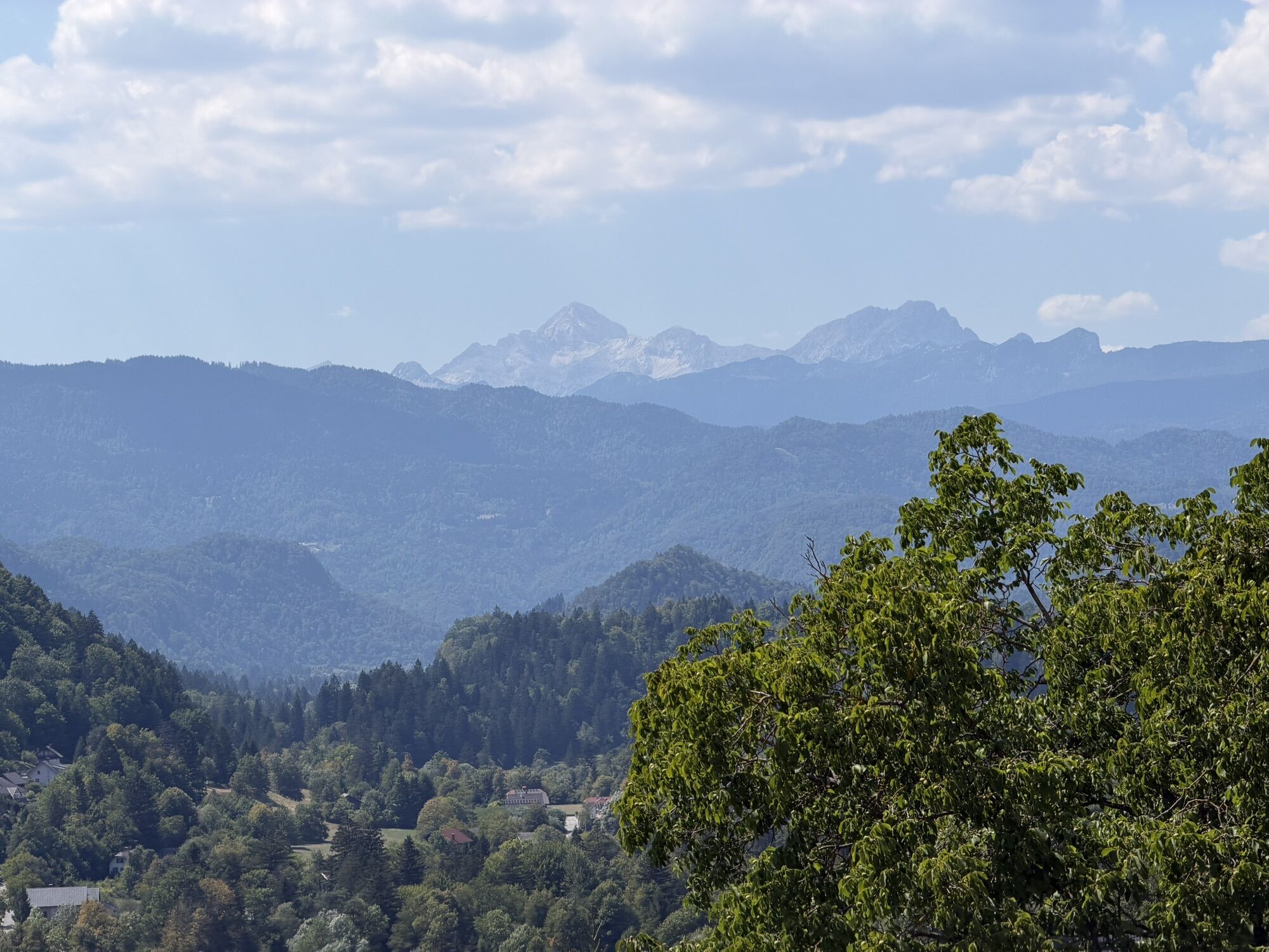
Soak in the views of the Julian Alps, Pokljuka and Jelovica plateu, Lake Bled and even all the way up to Ljubljana.
Take a break at the Zabreška planina mountain pasture to soak in the views of the Julian Alps, Pokljuka and Jelovica plateu, Lake Bled and even all the way up to Ljubljana.
Uzyskaj wgląd Zawsze na żywo z ponad 9 500 kamer internetowych. bergfex Jako użytkownik Pro, możesz teraz zobaczyć odpowiednie kamery internetowe dla wielu wycieczek w aplikacji wycieczki od. Pozwala to na bezpośredni podgląd aktualnych warunków. Popularne wycieczki w okolicy
- 4,2
MTB-Tour zur Klagenfurter Hütte
średniMountainbike 12,6 km - 3,9
Tscheppaschlucht Ferlach
światłoWędrówka 5,90 km - 4,8
Through the Tscheppaschlucht into the Loibltal
średniWędrówka 4,58 km - 4,6
Heart trail around Bled lake
średniTrasa tematyczna 5,93 km - 4,6
Water experience trail Hainschgraben
średniWędrówka 9,23 km - 4,5
Slow Trail Meerauge
światłoWędrówka 5,25 km - 4,3
From Bärental to the Kosiak (Klagenfurter Hut)
średniWędrówka 9,67 km - 4,6
Sinacher Gupf crossing
średniWędrówka 8,32 km - 4,2
Through the Tscheppa Gorge to Bodental
średniWędrówka 10,6 km - 4,7
Ogrisalm ab Bodenbauer, Kärnten/Österreich
światłoWycieczka narciarska 11,2 km

Wędrówki i tropienie


Nie przegap ofert i inspiracji na następne wakacje
Twój adres e-mail została dodana do listy mailingowej.





