





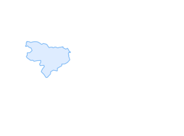
Cycling route Zgornje Jezersko–Štularjeva planina–Zgornje Jezersko

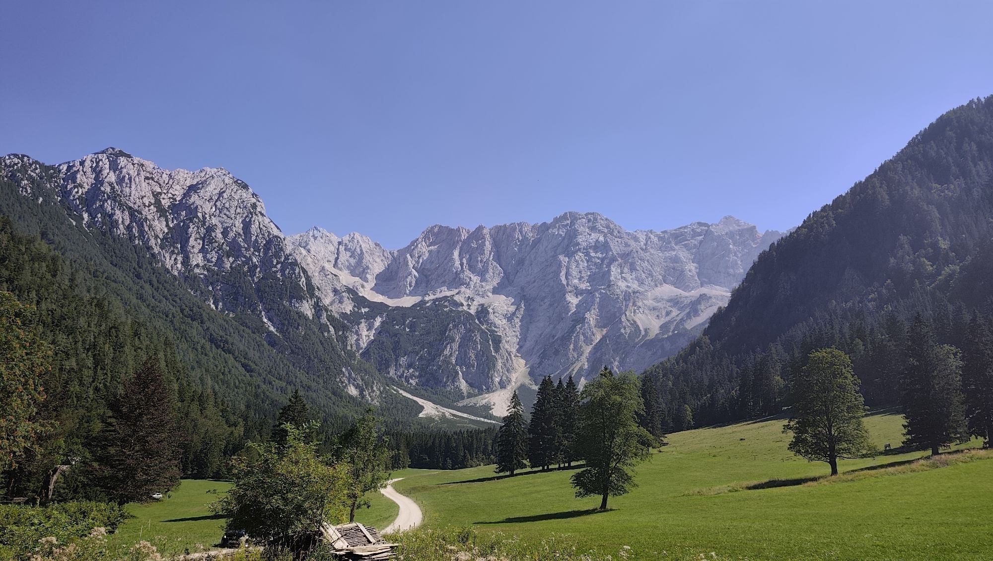
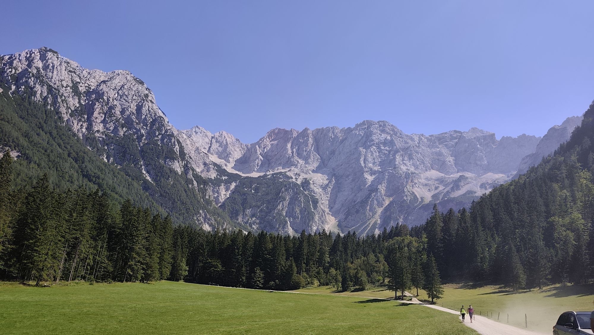
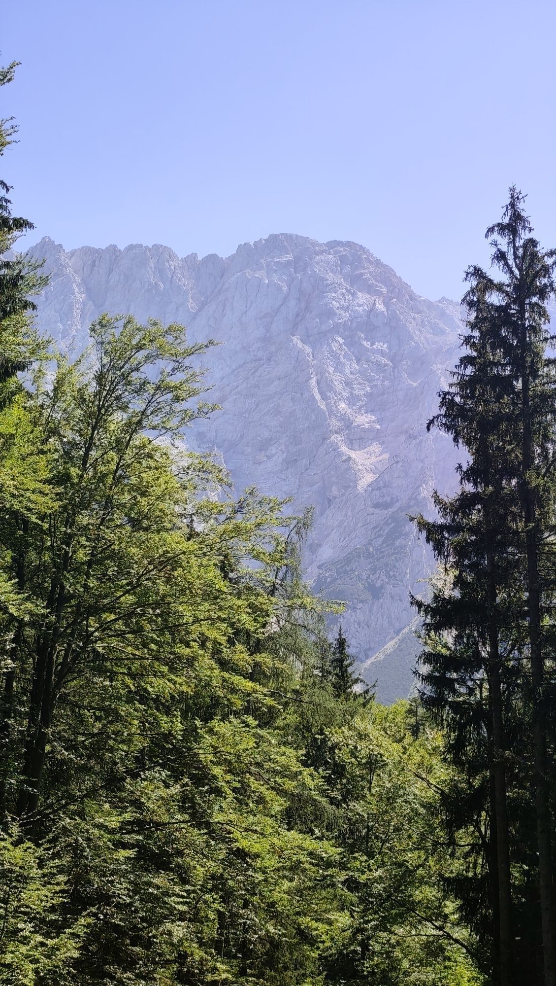
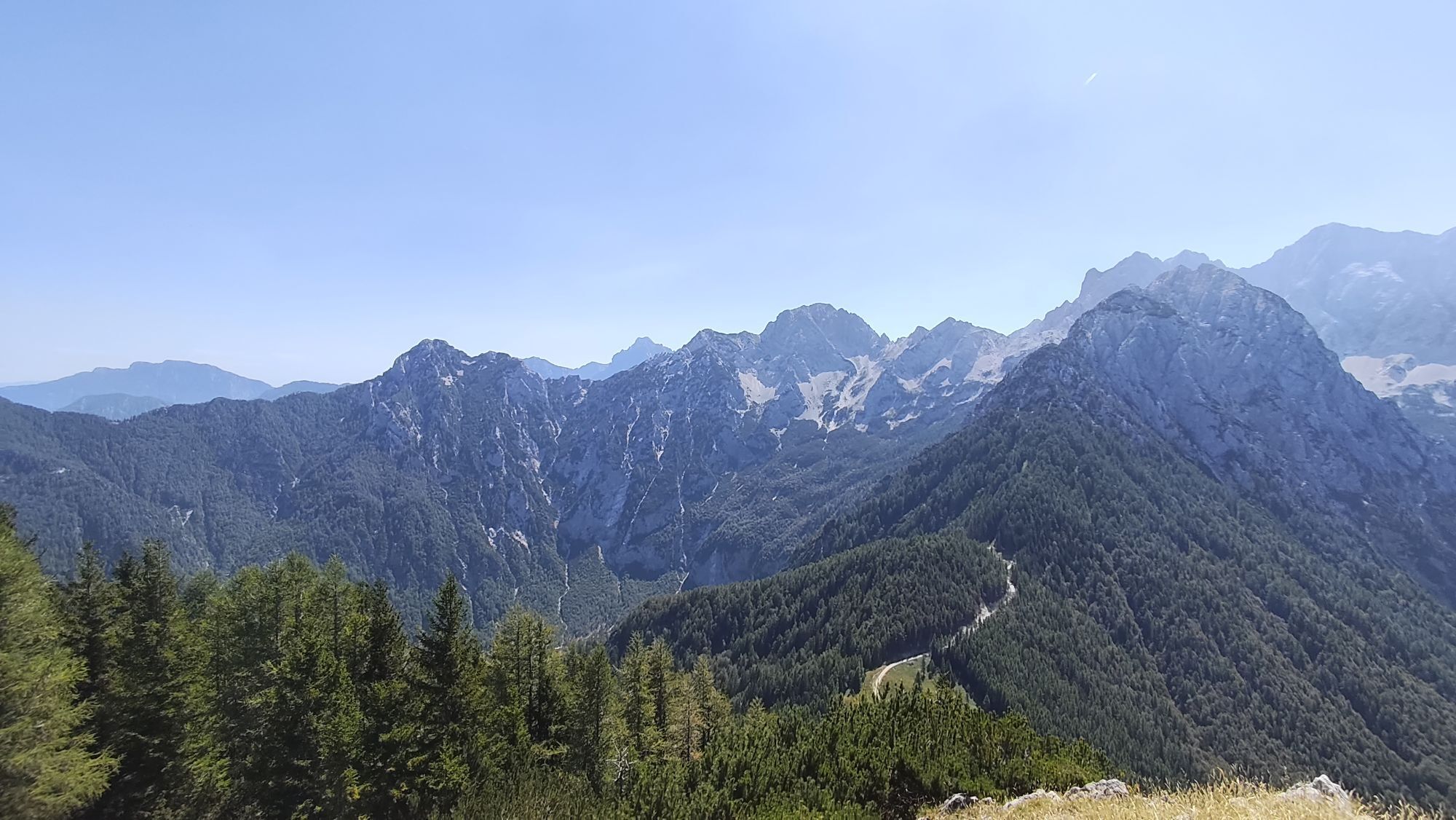
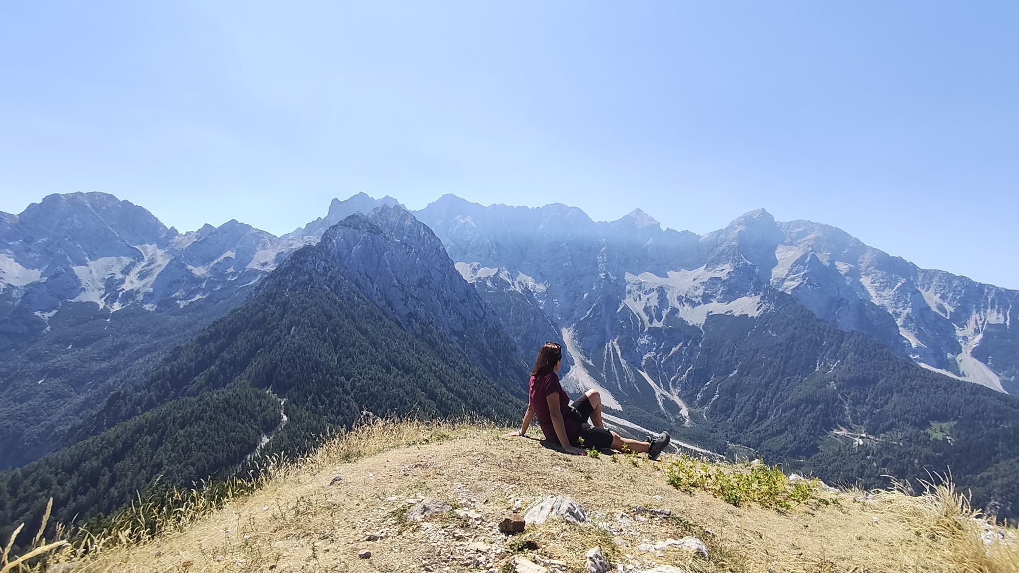
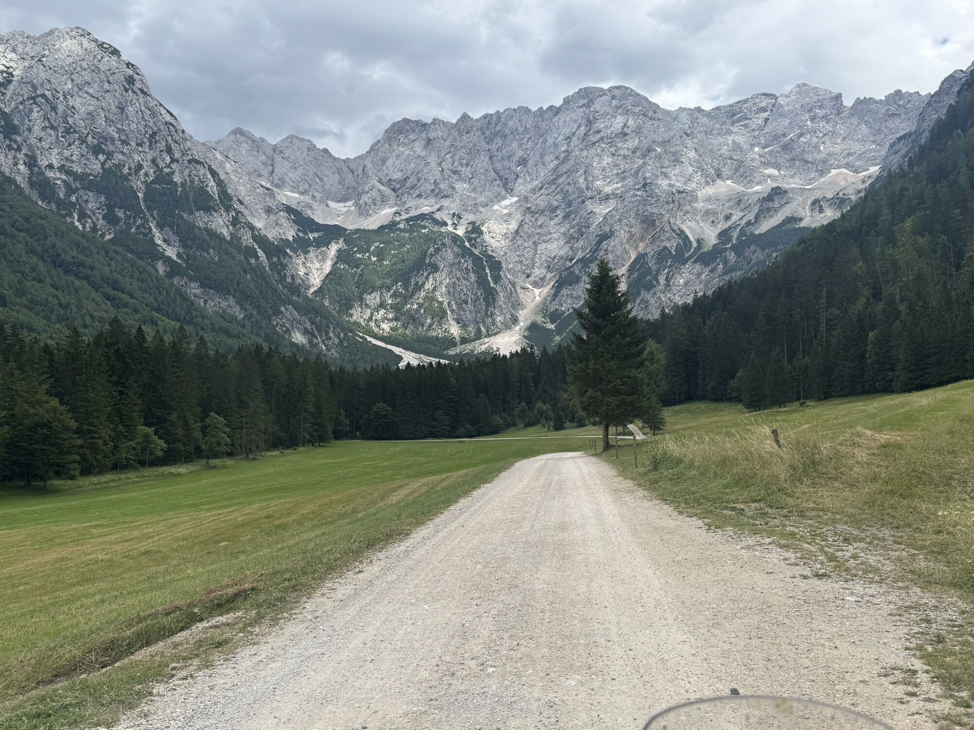
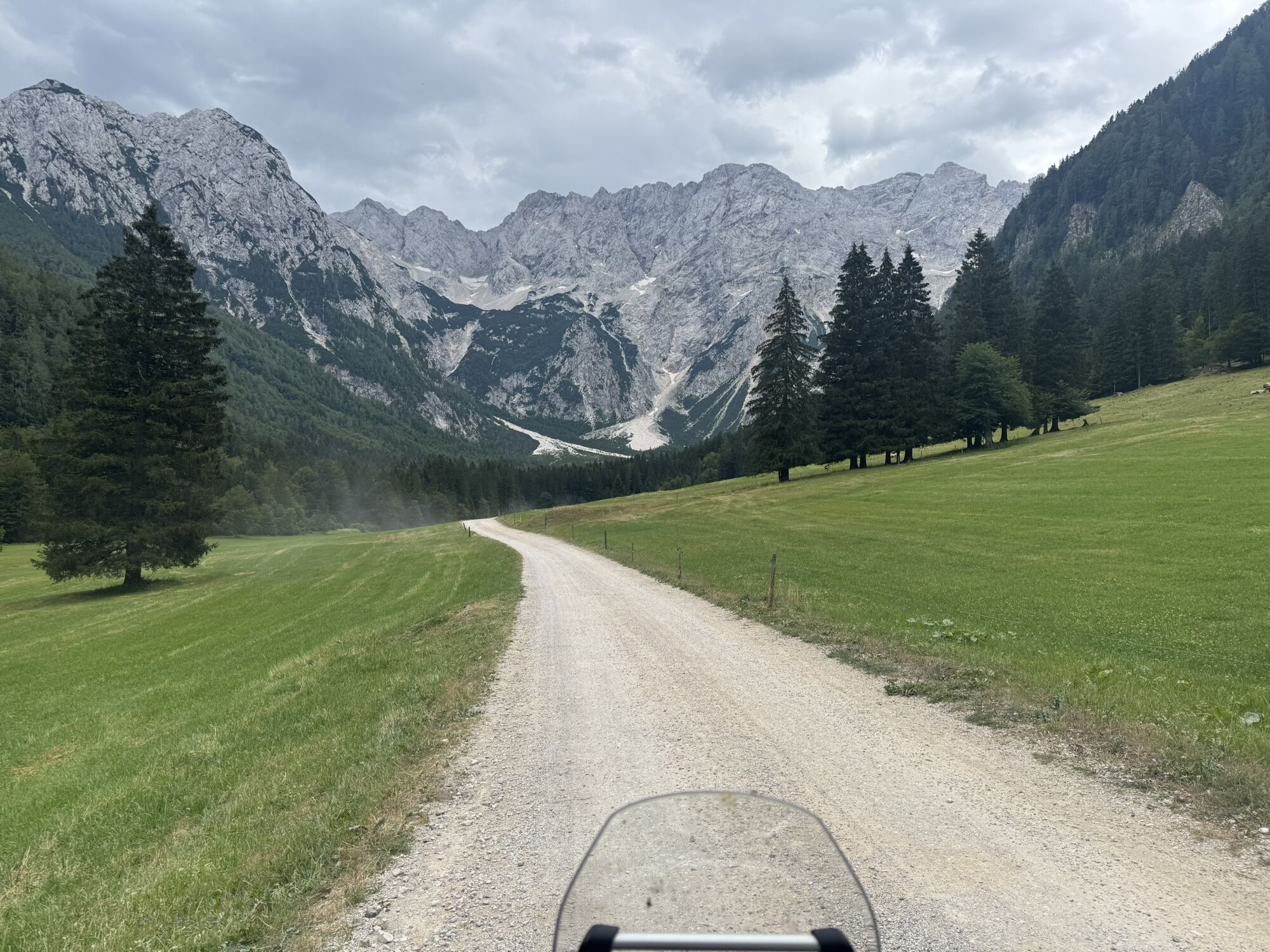
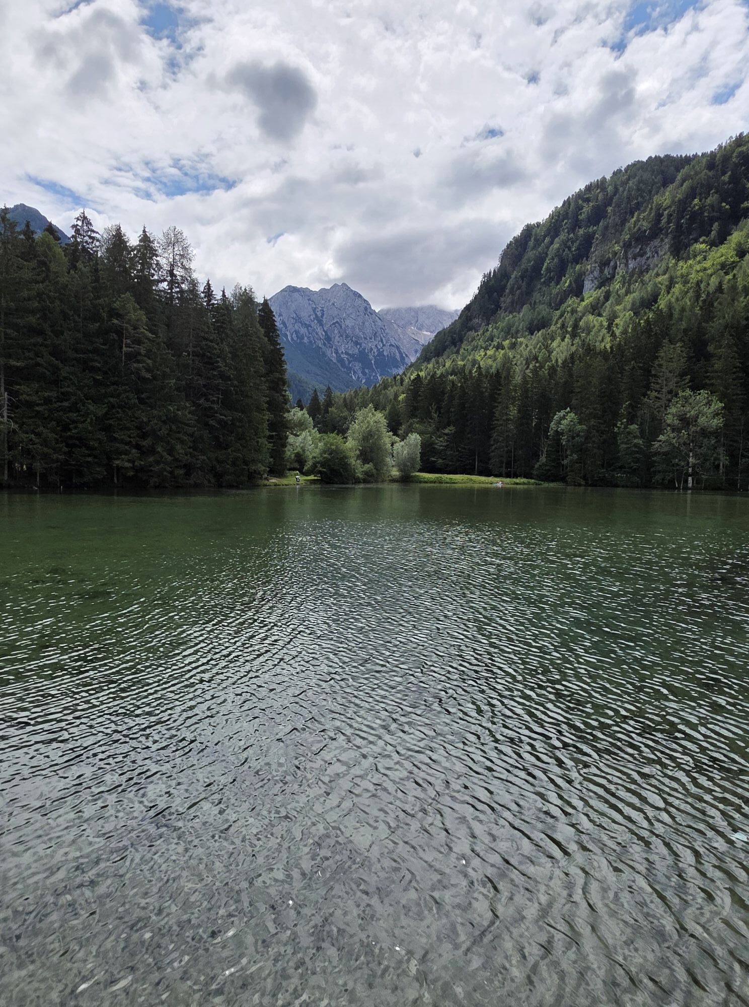
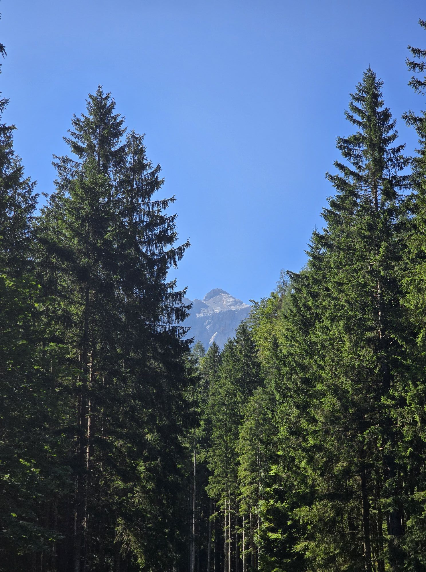
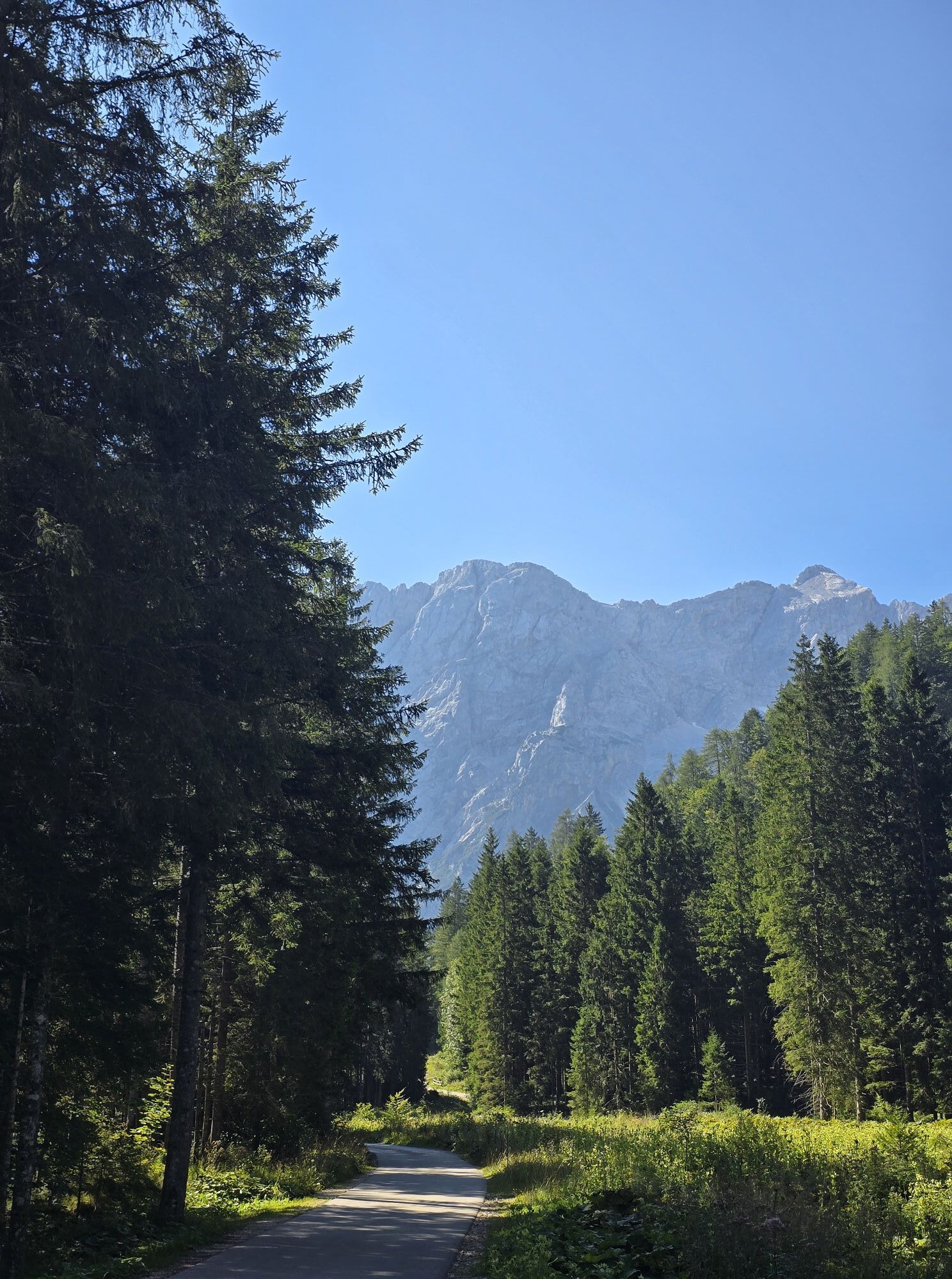
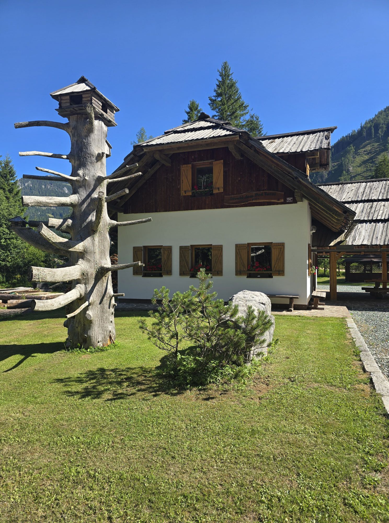
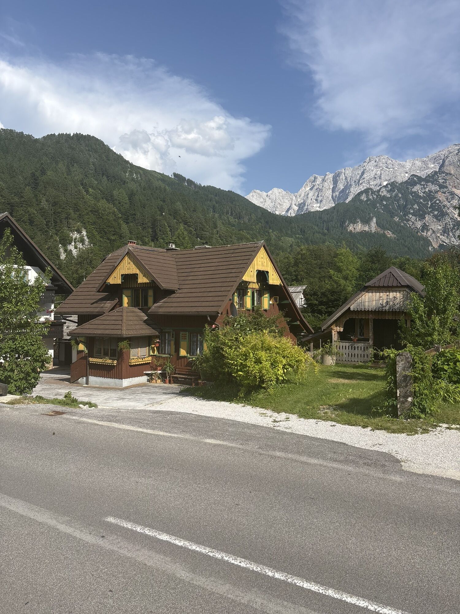
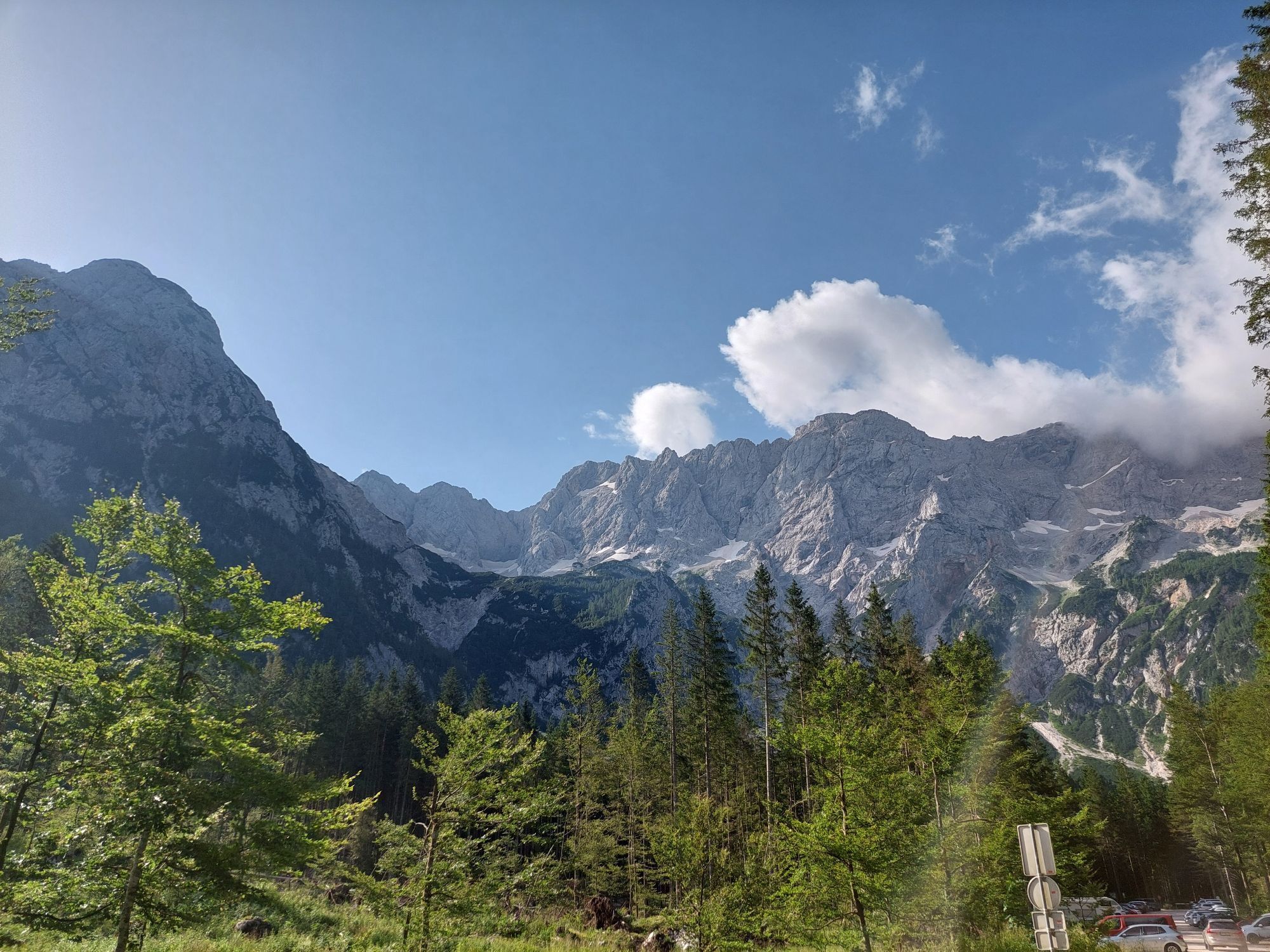
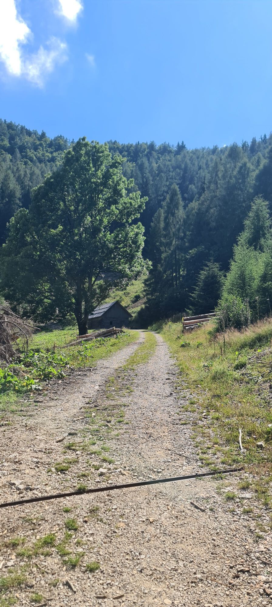
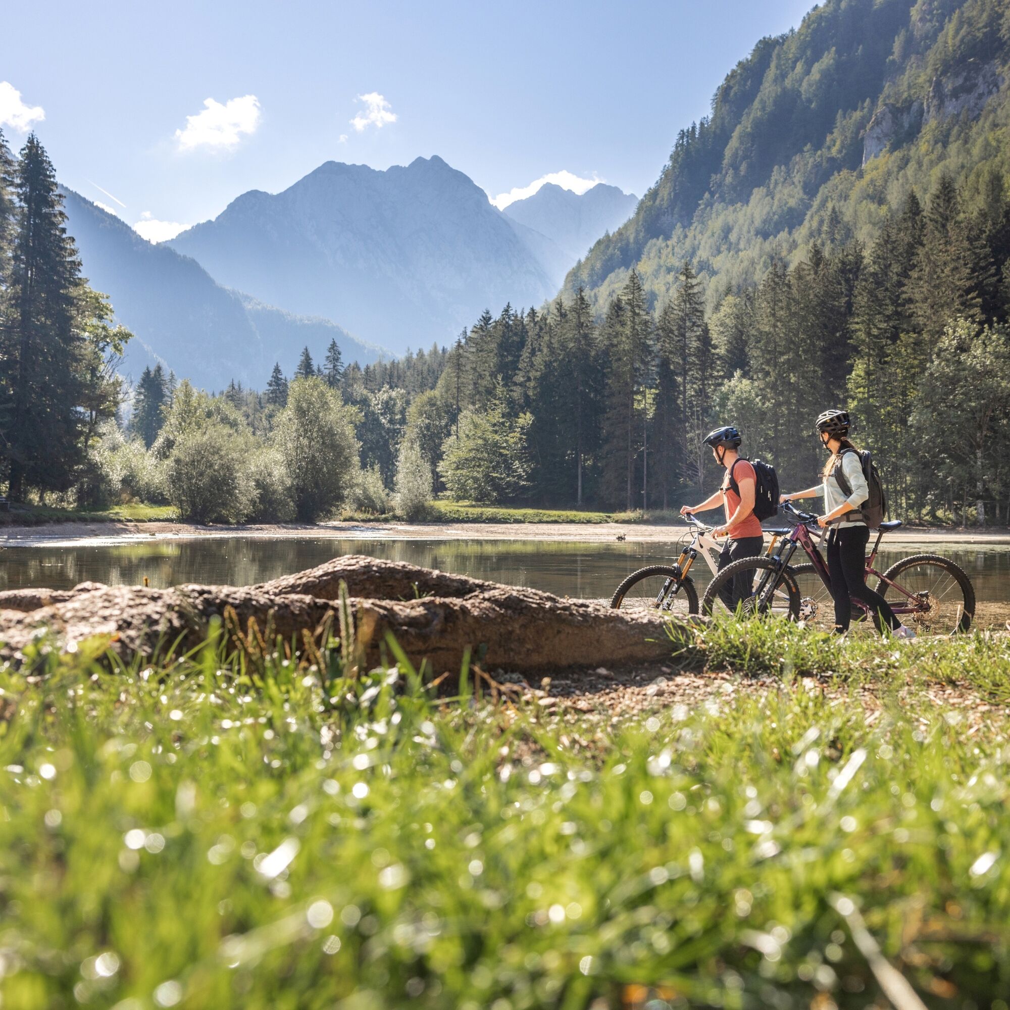
The path from the TIC initially leads us to Planšarsko Lake, which we go around on the right side. At the entrance to the Ravenska Kočna valley, there is a barrier at the hunting lodge Pod Turni, which...
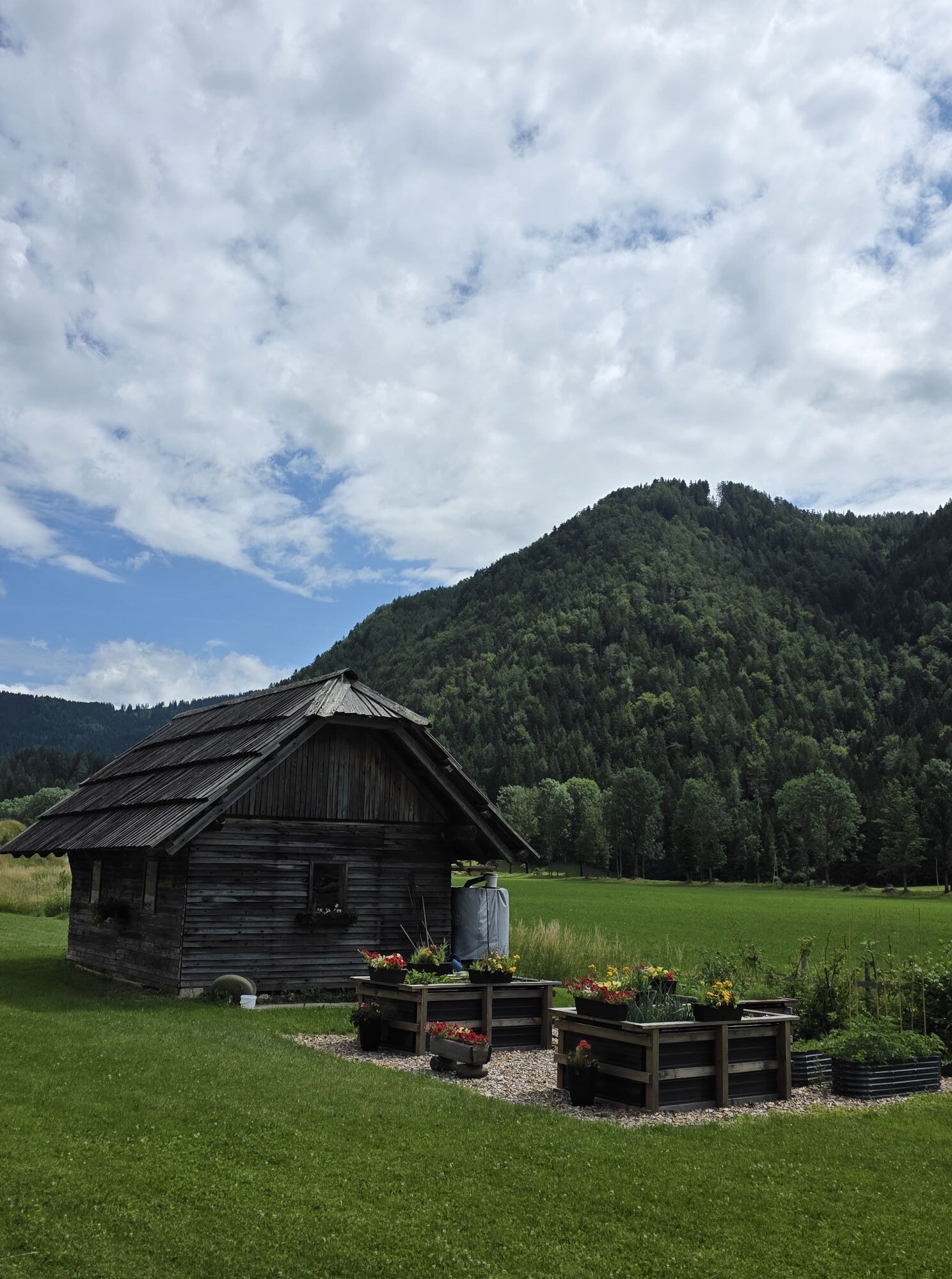
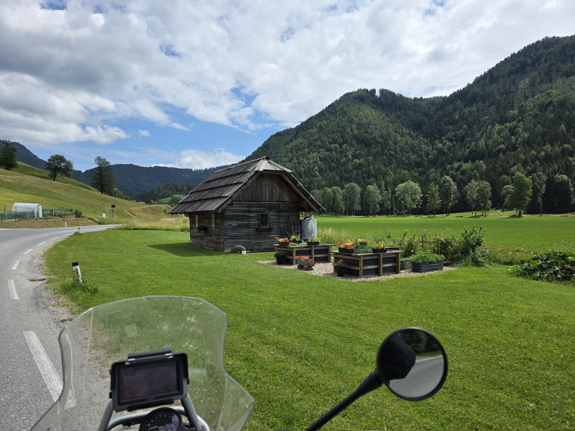
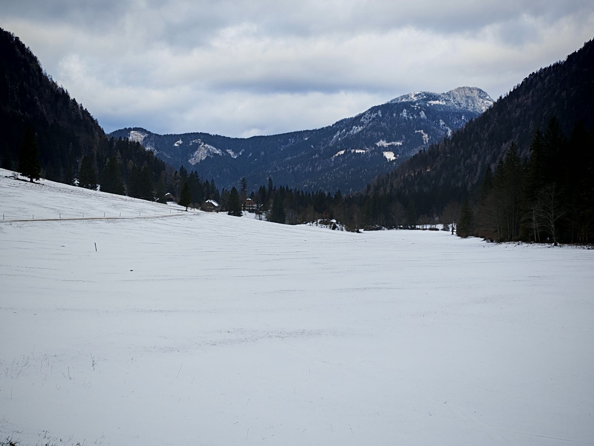
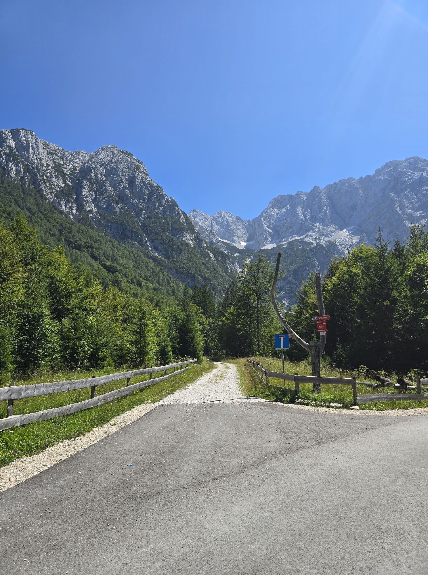
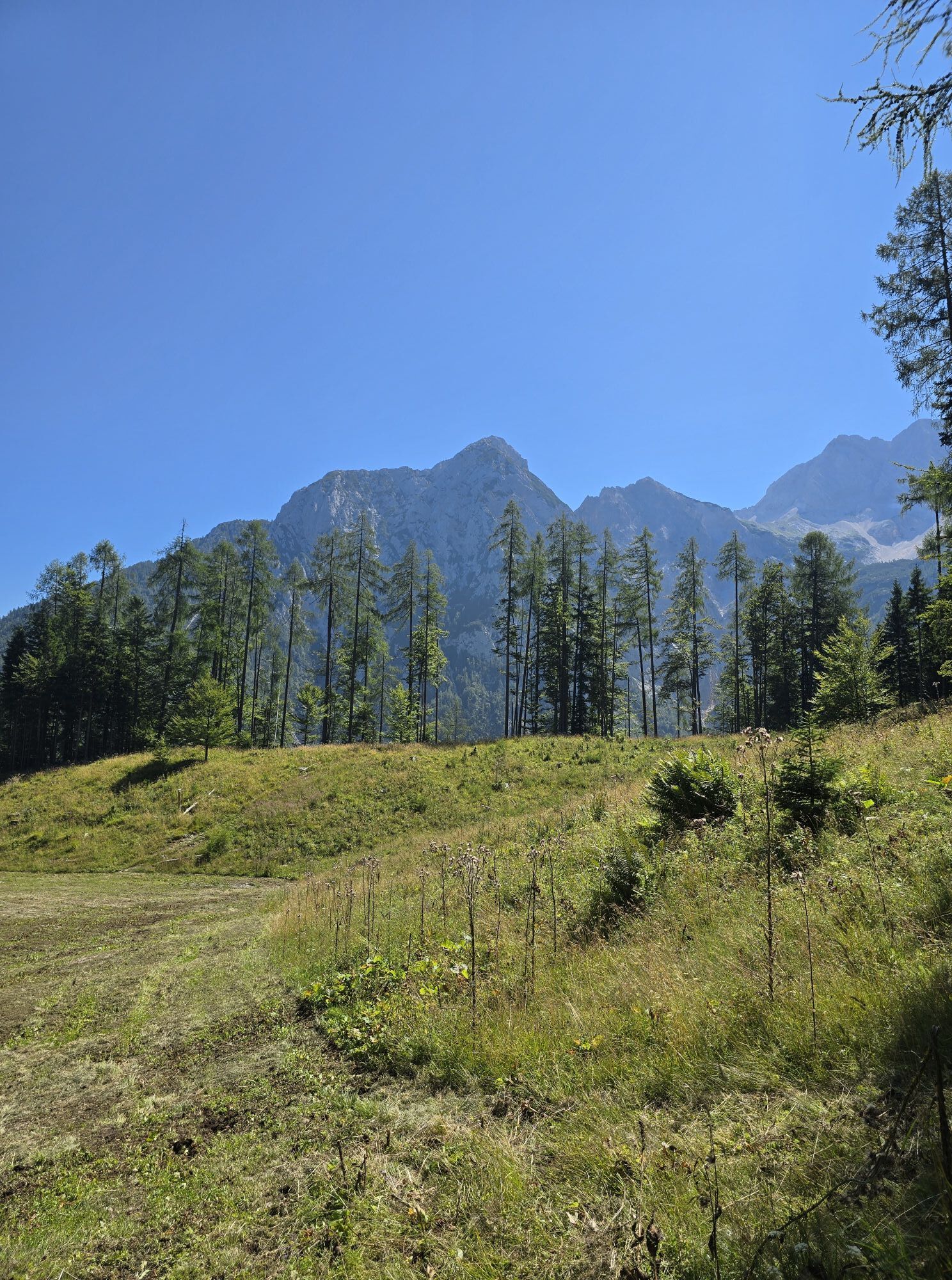
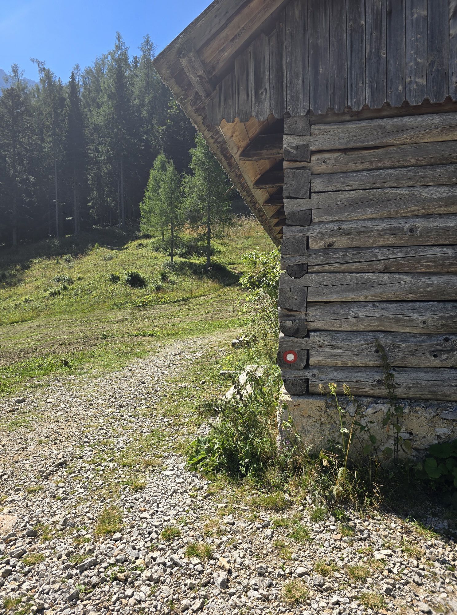
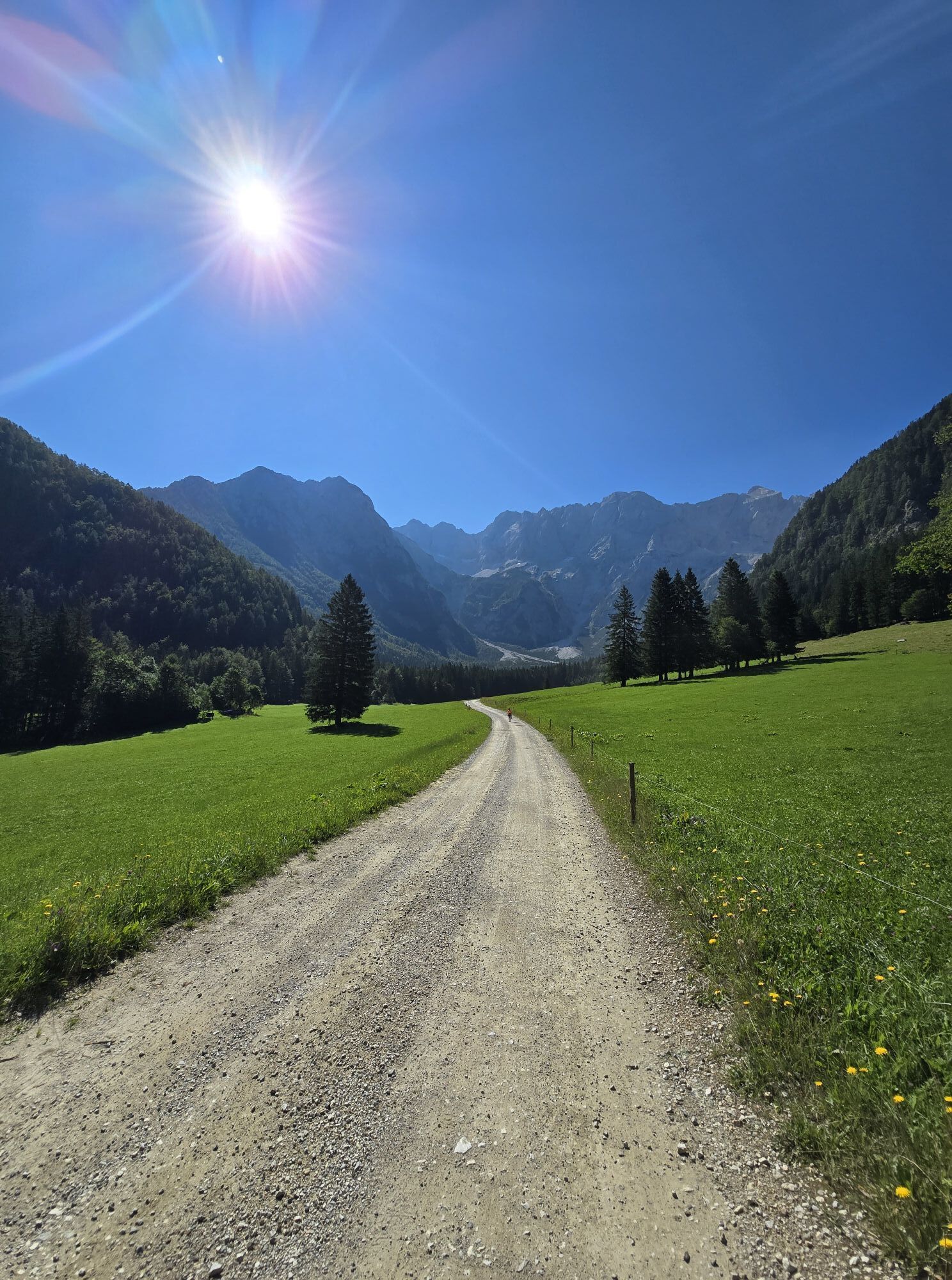
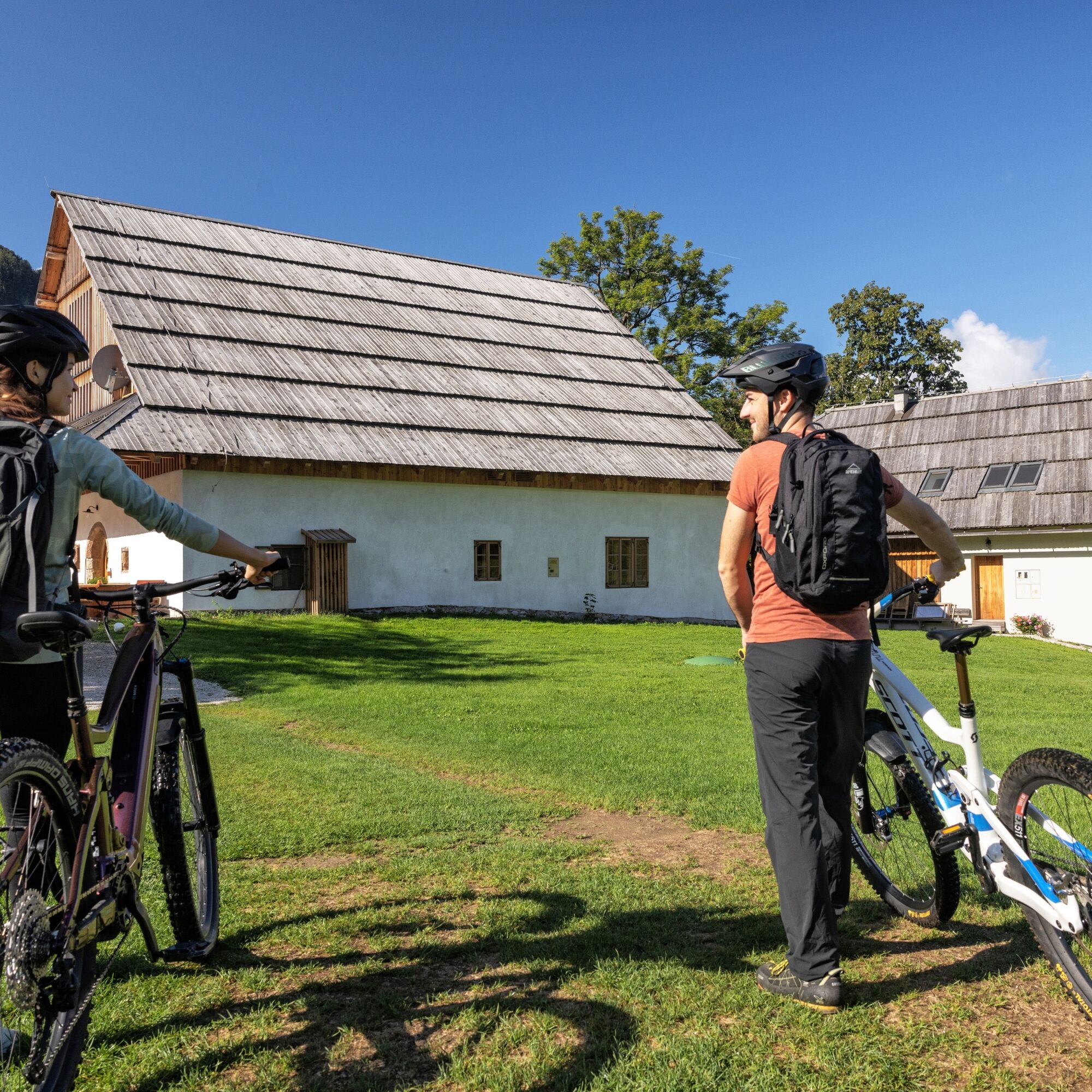
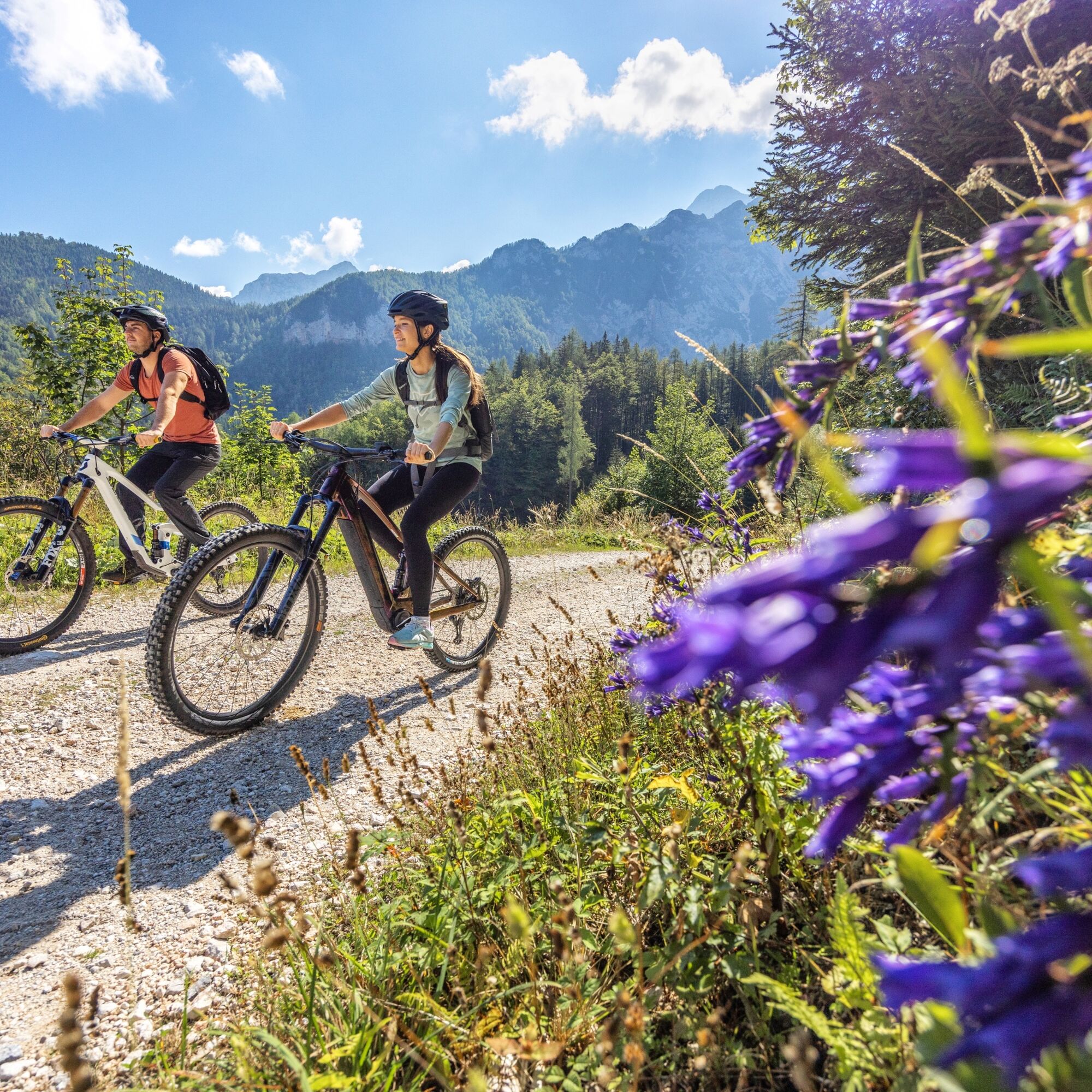
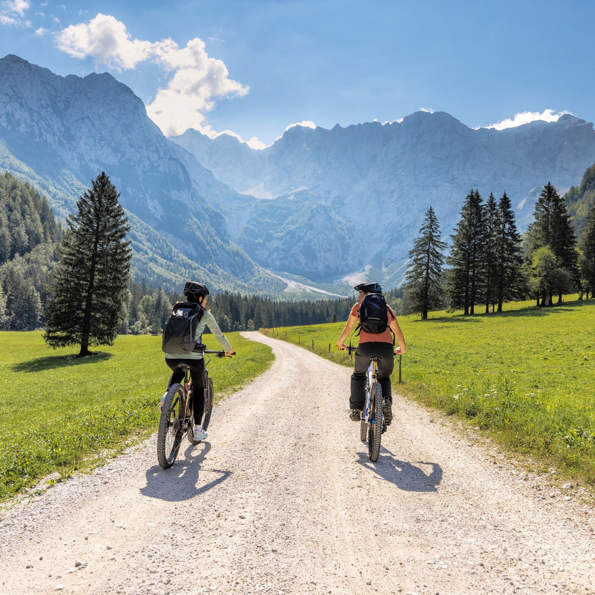
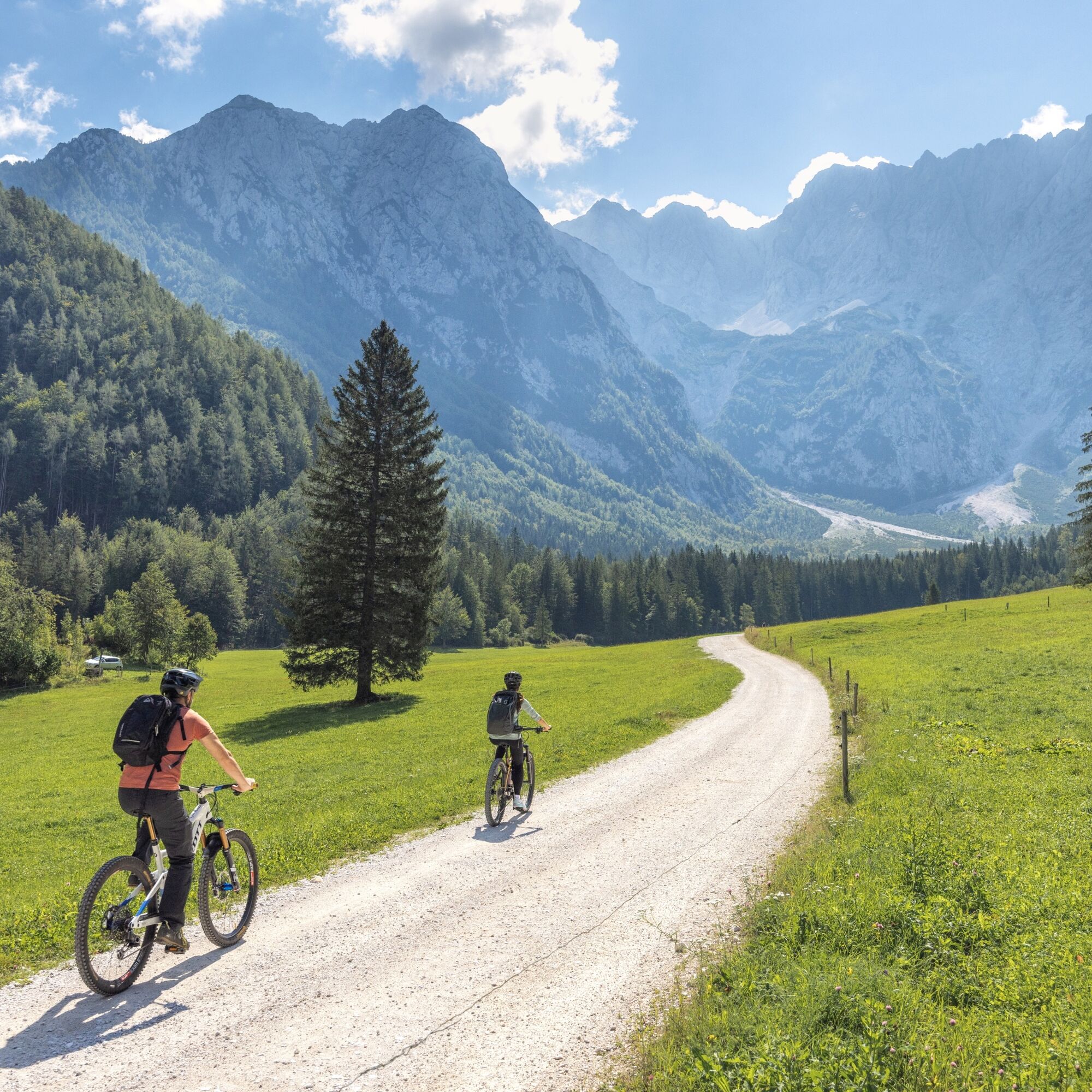
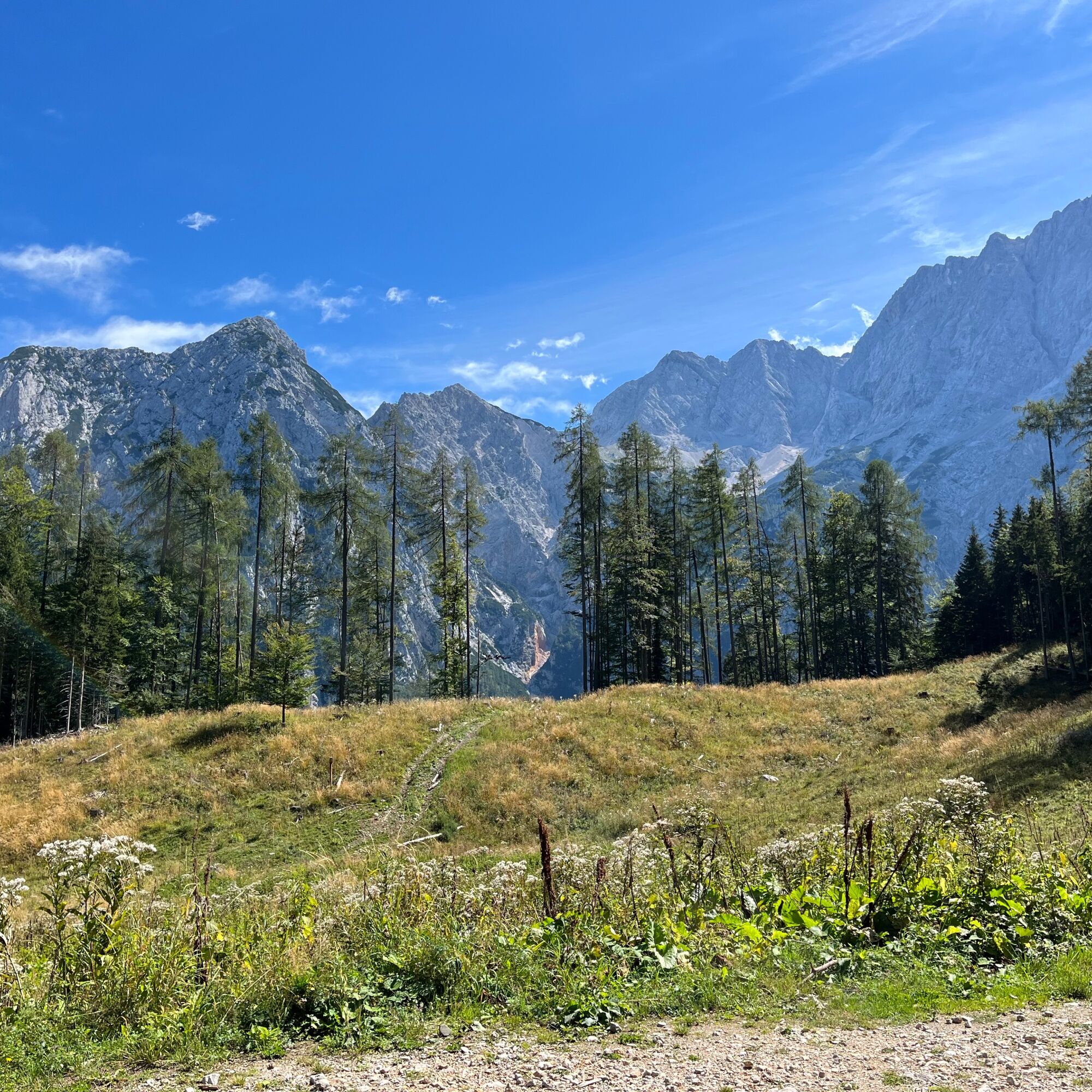
The path from the TIC initially leads us to Planšarsko Lake, which we go around on the right side. At the entrance to the Ravenska KoÄna valley, there is a barrier at the hunting lodge Pod Turni, which cyclists may freely pass. At the Ancel tourist farm, the asphalt road turns into a gravel road, which we follow past a resting place on the thematic walking path through the Ravenska KoÄna valley and the final parking lot for passenger vehicles all the way to the lower station of the freight cable car to Äeška koÄa. There we turn right, and ahead of us is still a good two kilometers of ascent. At Štularjeva planina, let's take time to admire the views at the valley head, towards Skuta and other peaks up to Goli vrh. On the descent along the same path, be careful of hikers with whom we share certain parts of the trail. Planšarsko Lake is interesting in all seasons, so on the return, take time to stop at its shore.


Tak

Popularne wycieczki w okolicy
- 4,6
Bad Eisenkappel: Hochobir
Wędrówka 5,50 km - 4,5
Wandertour Hochobir / Zell
średniWędrówka 5,76 km - 4,9
Koschlak Klettersteig BC, D
średniVia ferrata 2,60 km - 4,9
Eisenkappler Hütte - Hochobir
średniWędrówka 8,86 km - 4,6
Via ferrata Lärchenturm
ciężkiVia ferrata 6,15 km - 4,6
Vom Seebergsattel auf den Kärntner Storschitz (Rundweg)
ciężkiWędrówka 8,30 km - 4,4
Rundweg Schaidasattel - Hochobir
średniWędrówka 16,0 km - 4,2
Krainersteig - Carinthian Storschitz
średniWędrówka 2,70 km - 3,8
From Zell-Pfarre to the Freiberg
ciężkiWędrówka 8,14 km - 4,4
Felsentore, St. Leonhard, Kupitzklamm
ciężkiWędrówka 15 km
Wędrówki i tropienie


Nie przegap ofert i inspiracji na następne wakacje
Twój adres e-mail została dodana do listy mailingowej.





