




Fürstin-Gina-Weg
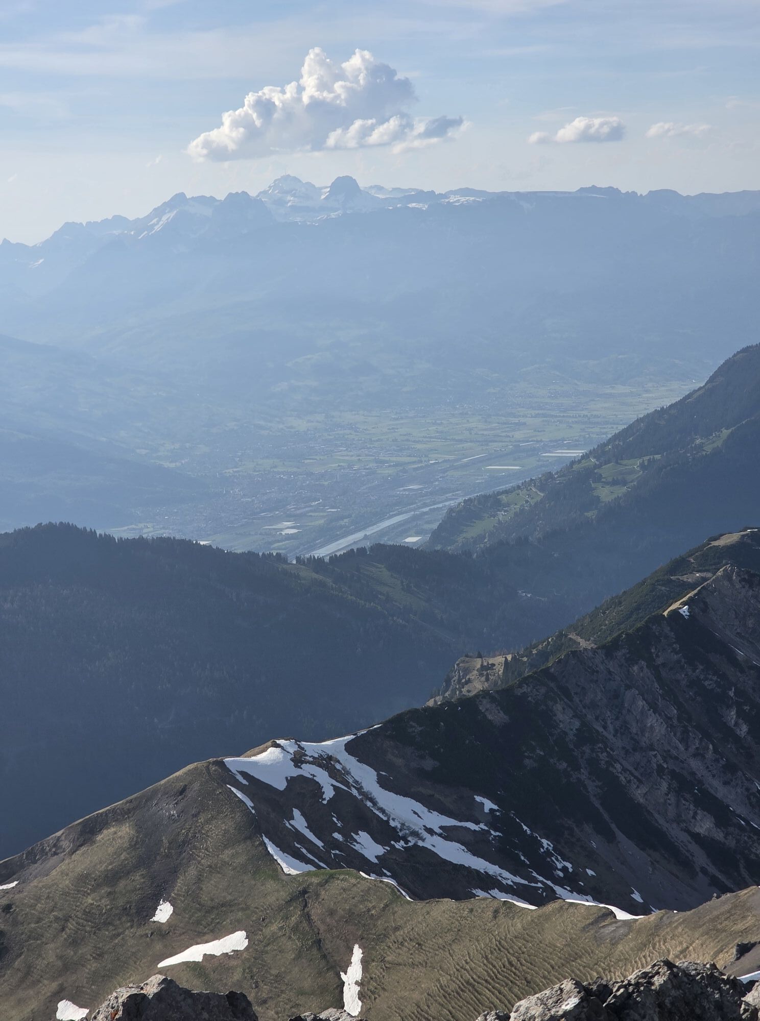

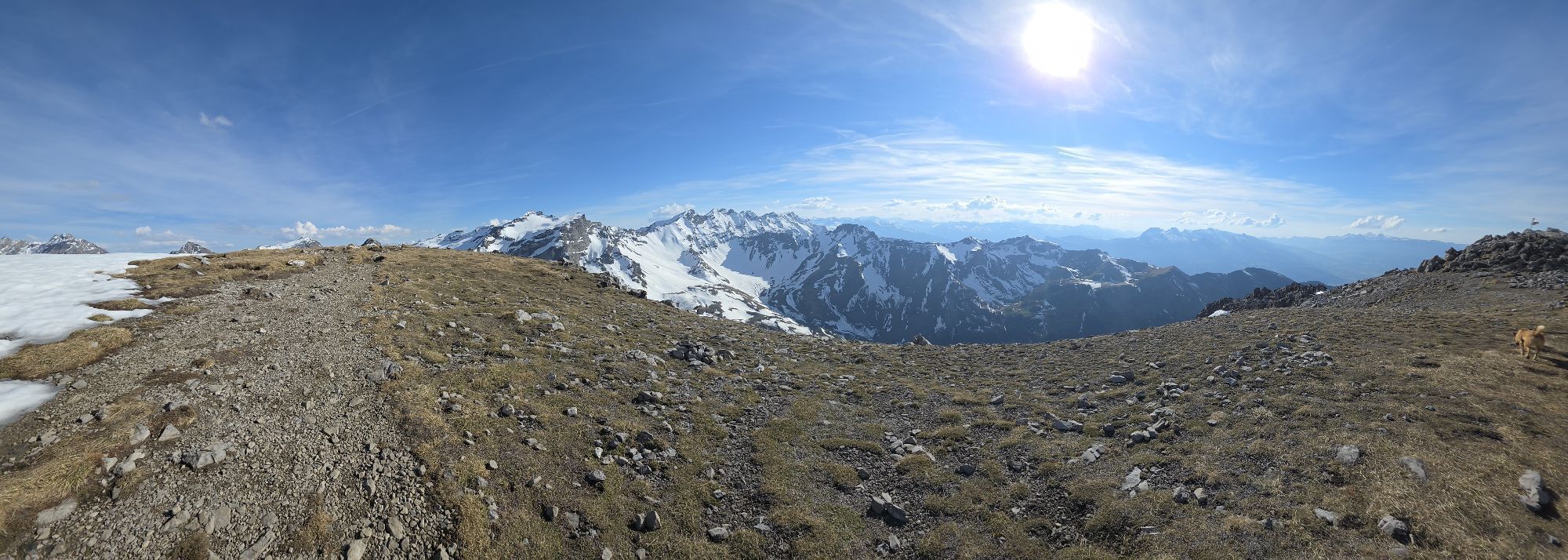
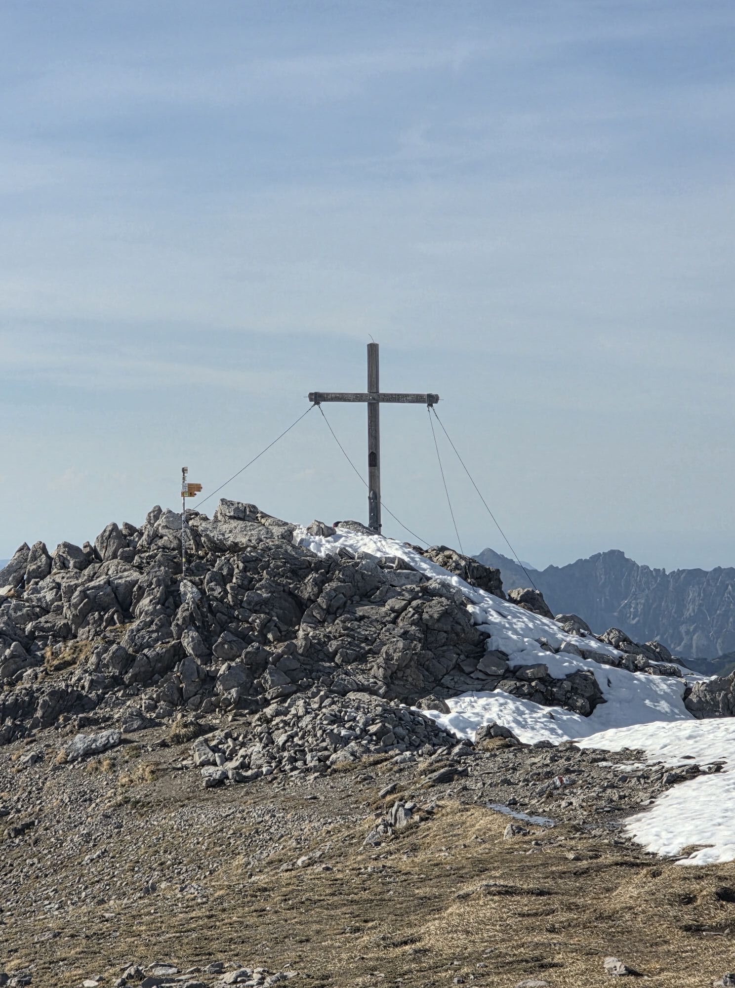
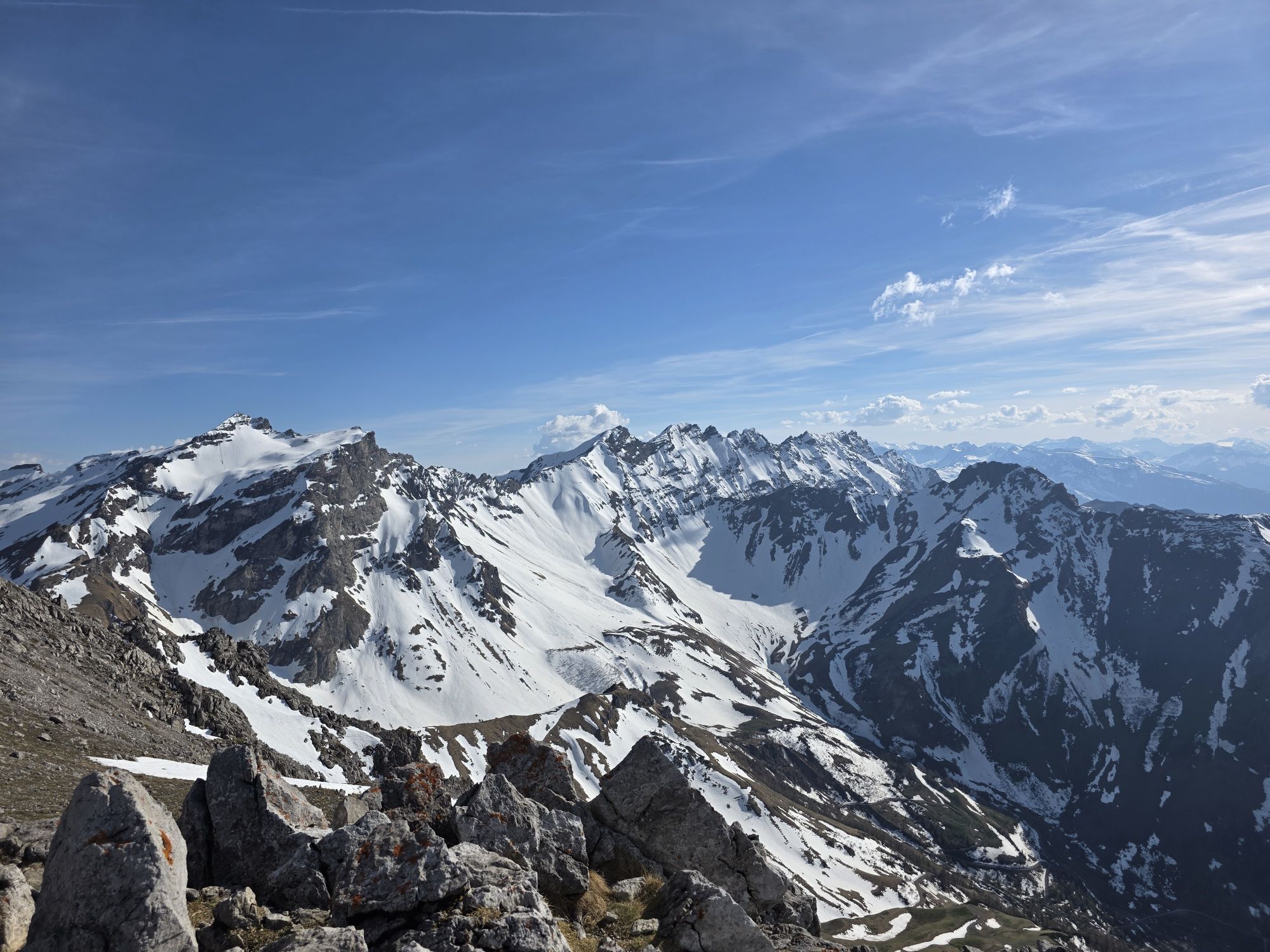
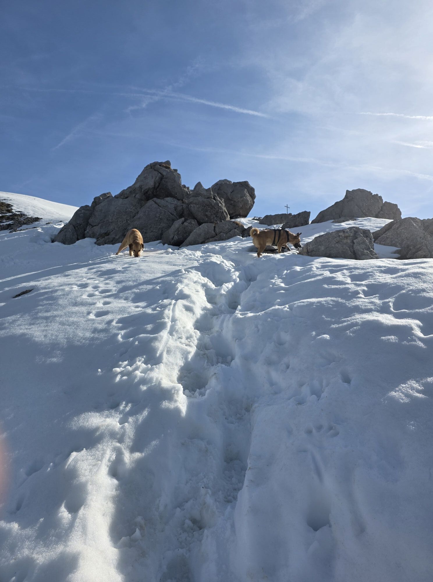
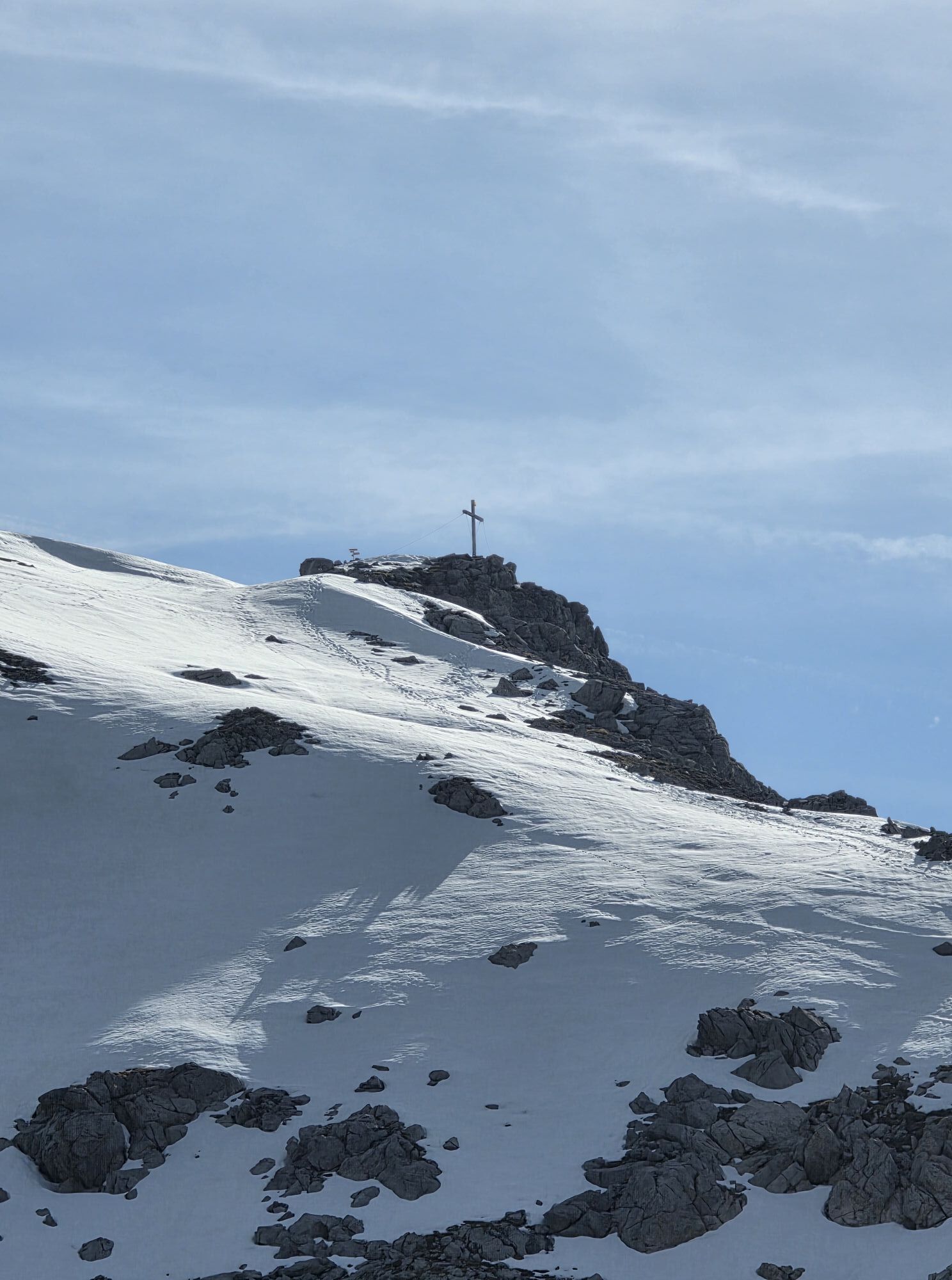
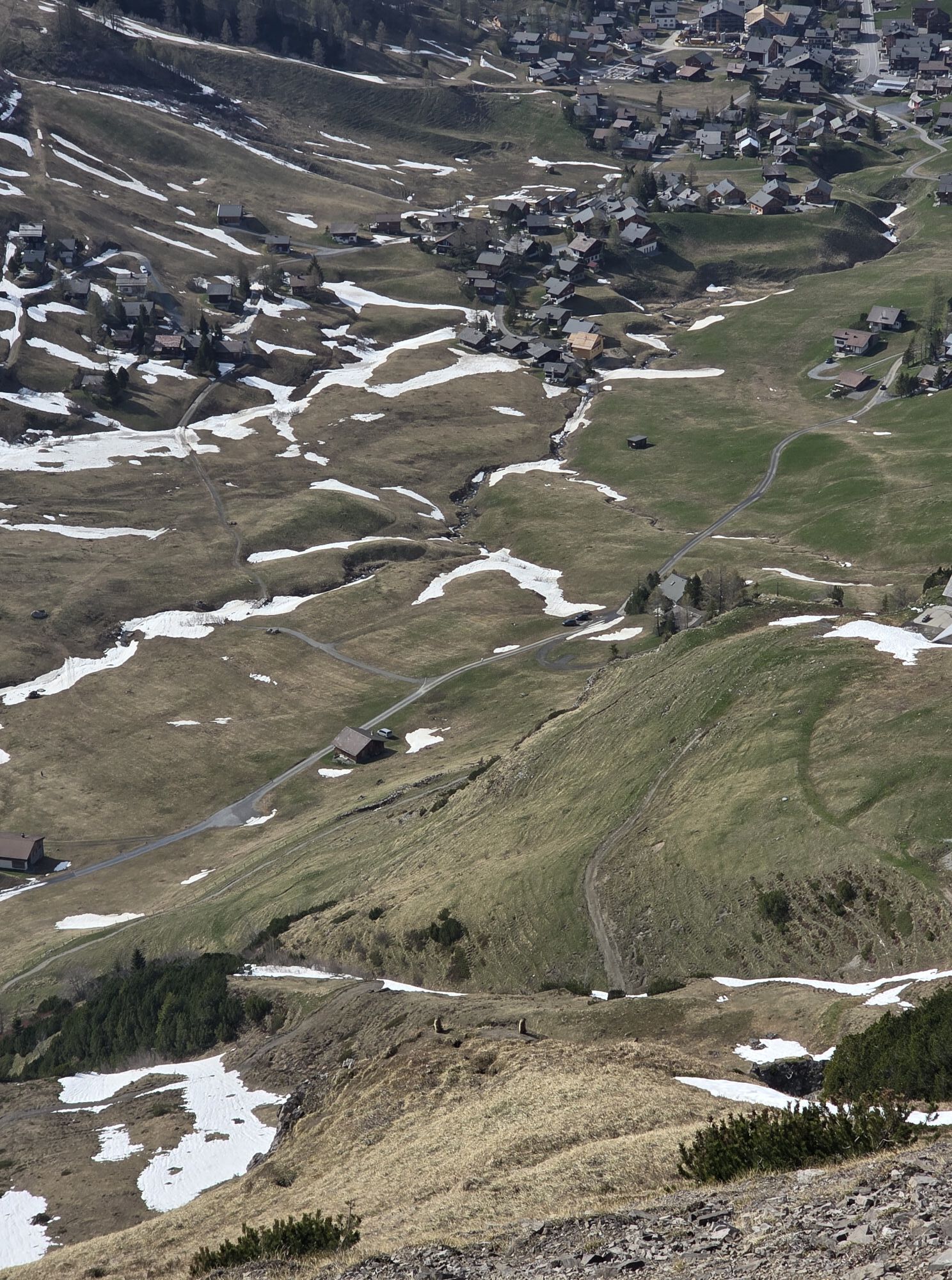
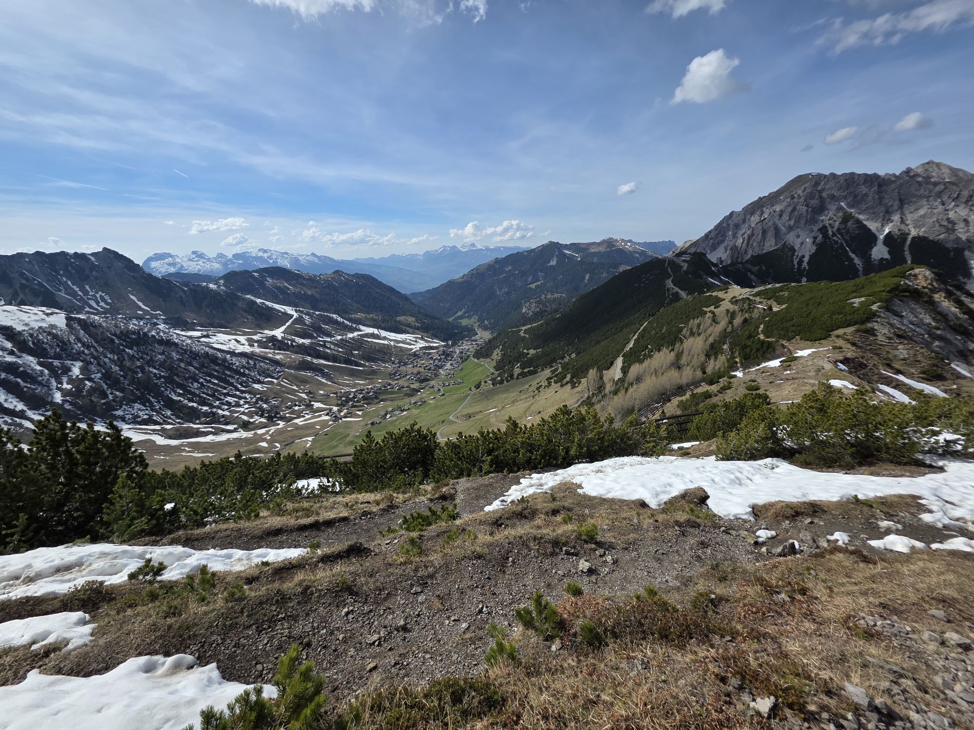
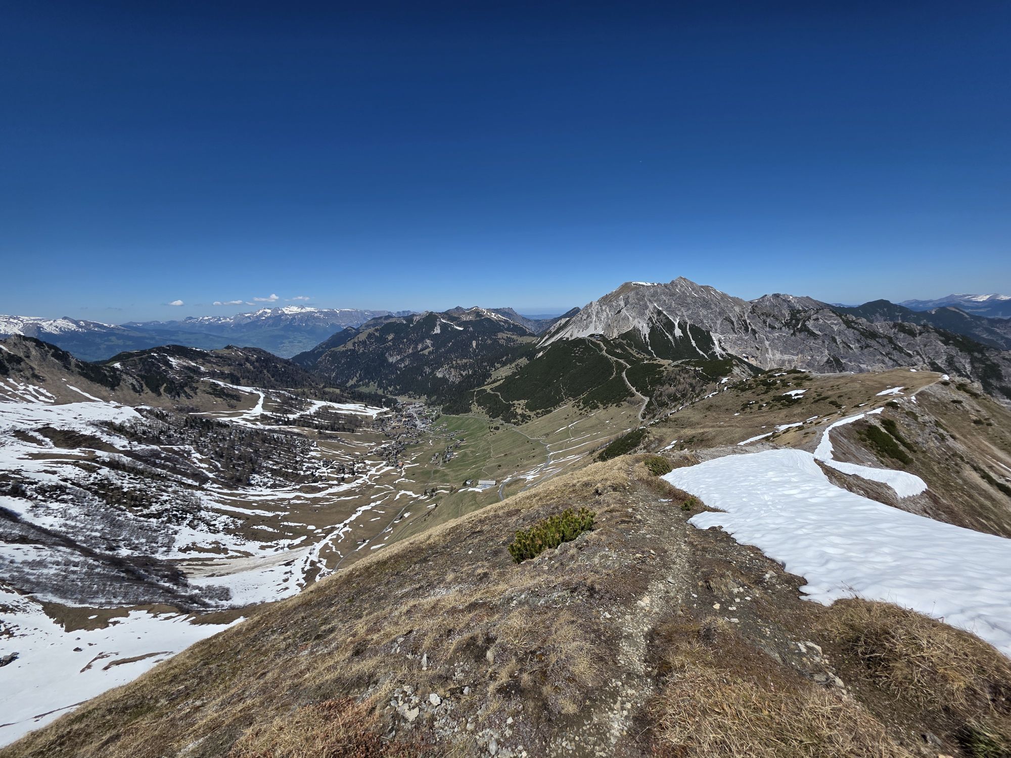
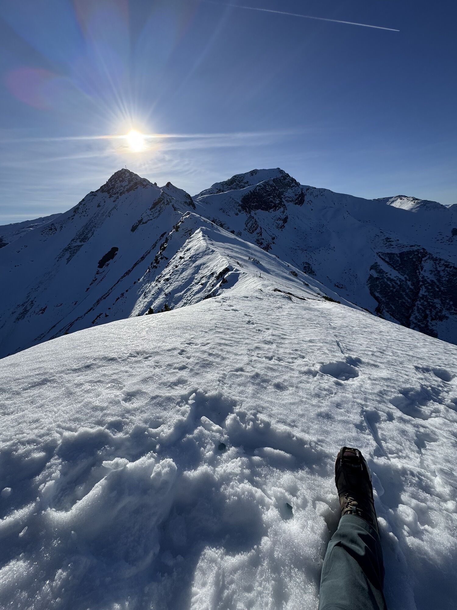
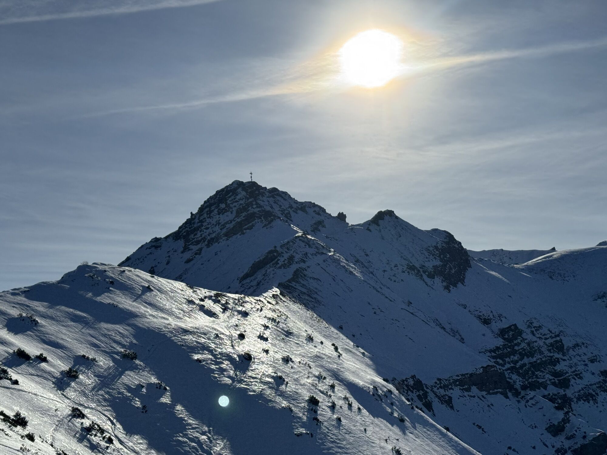
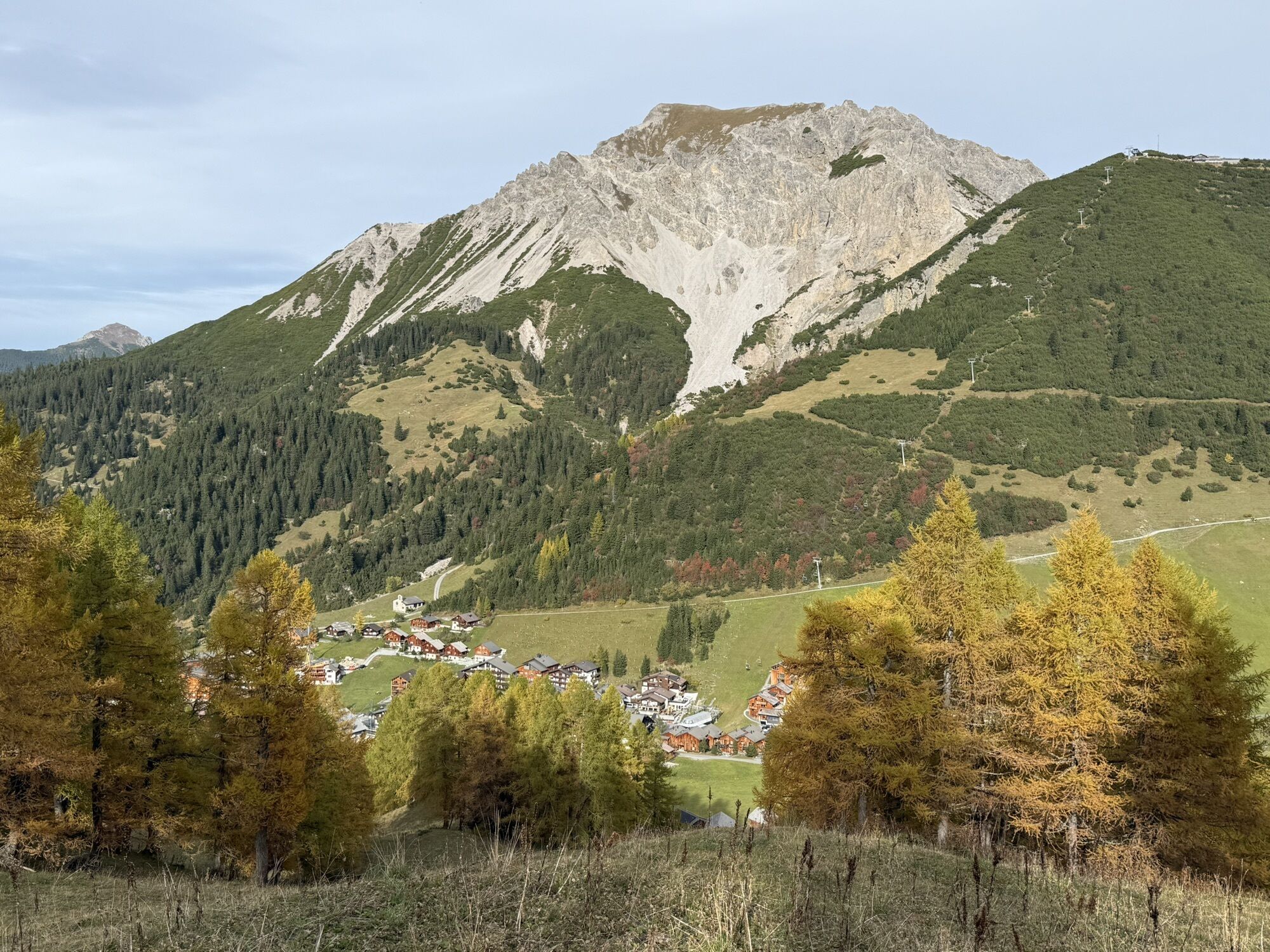
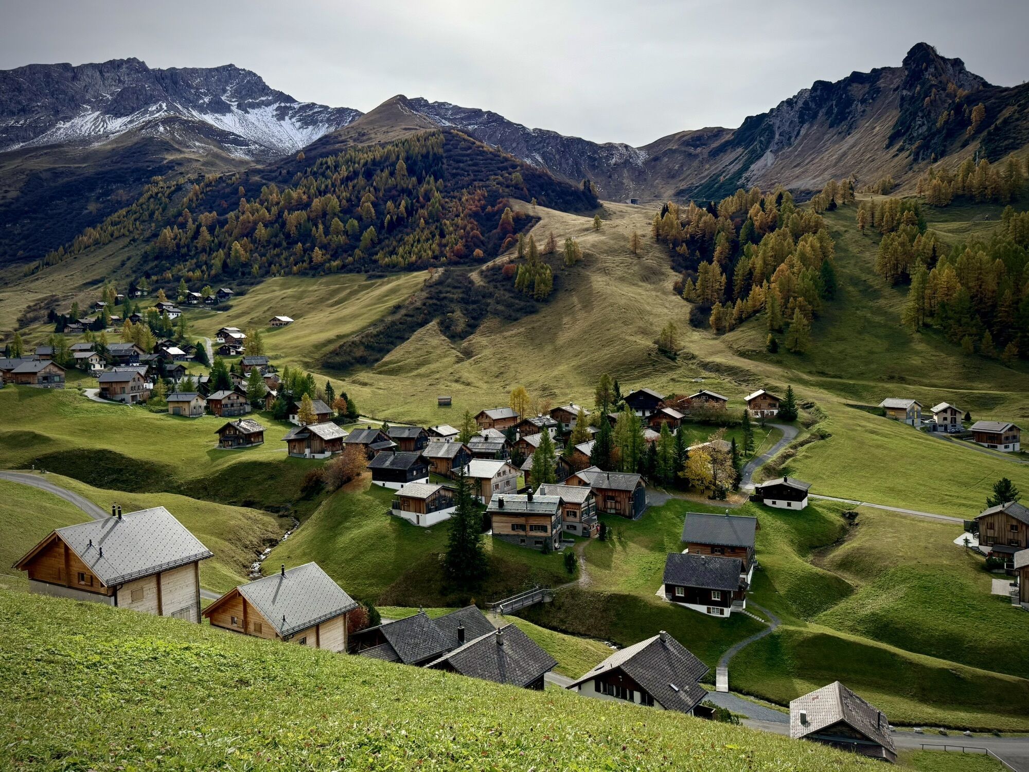
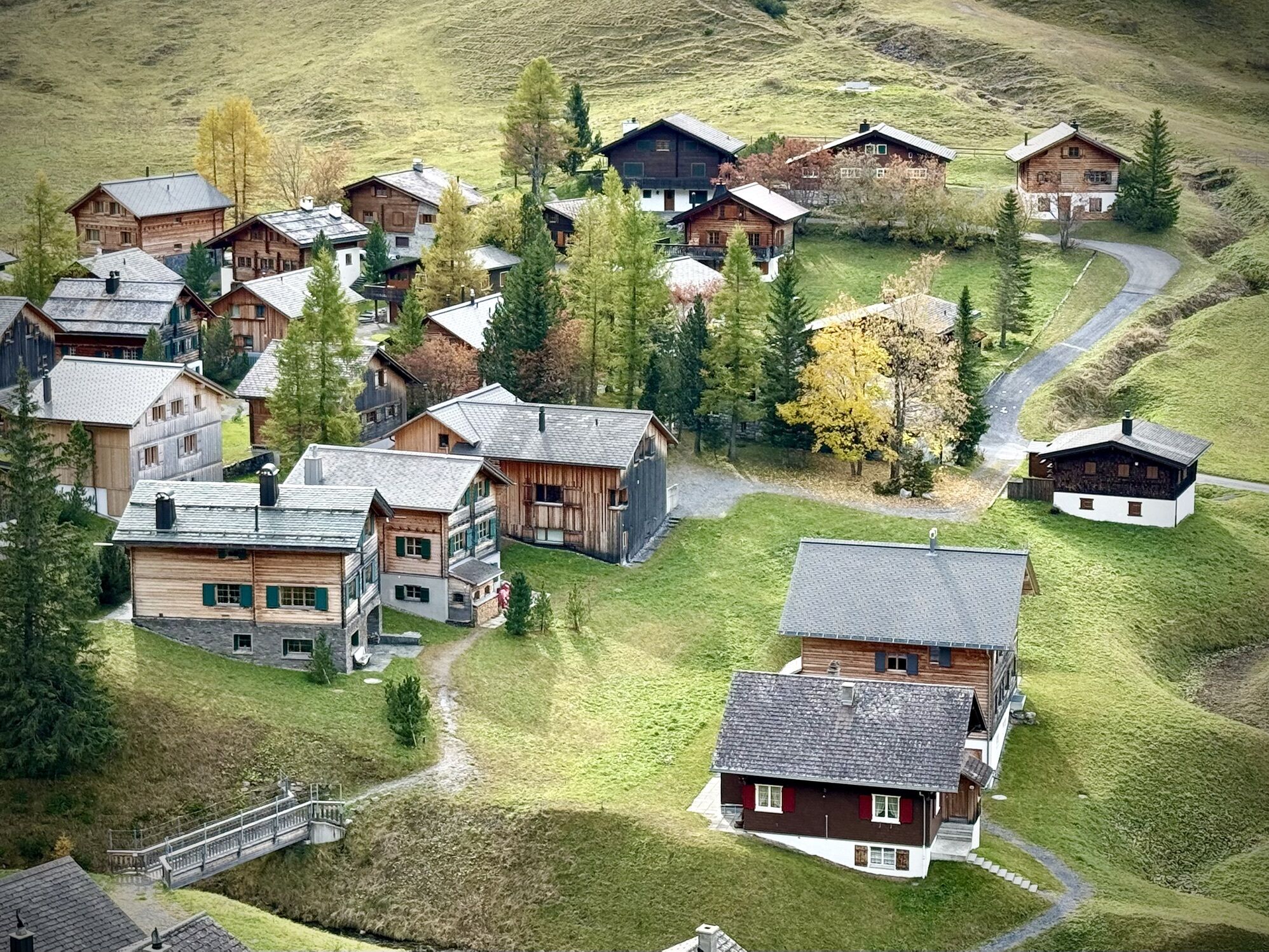
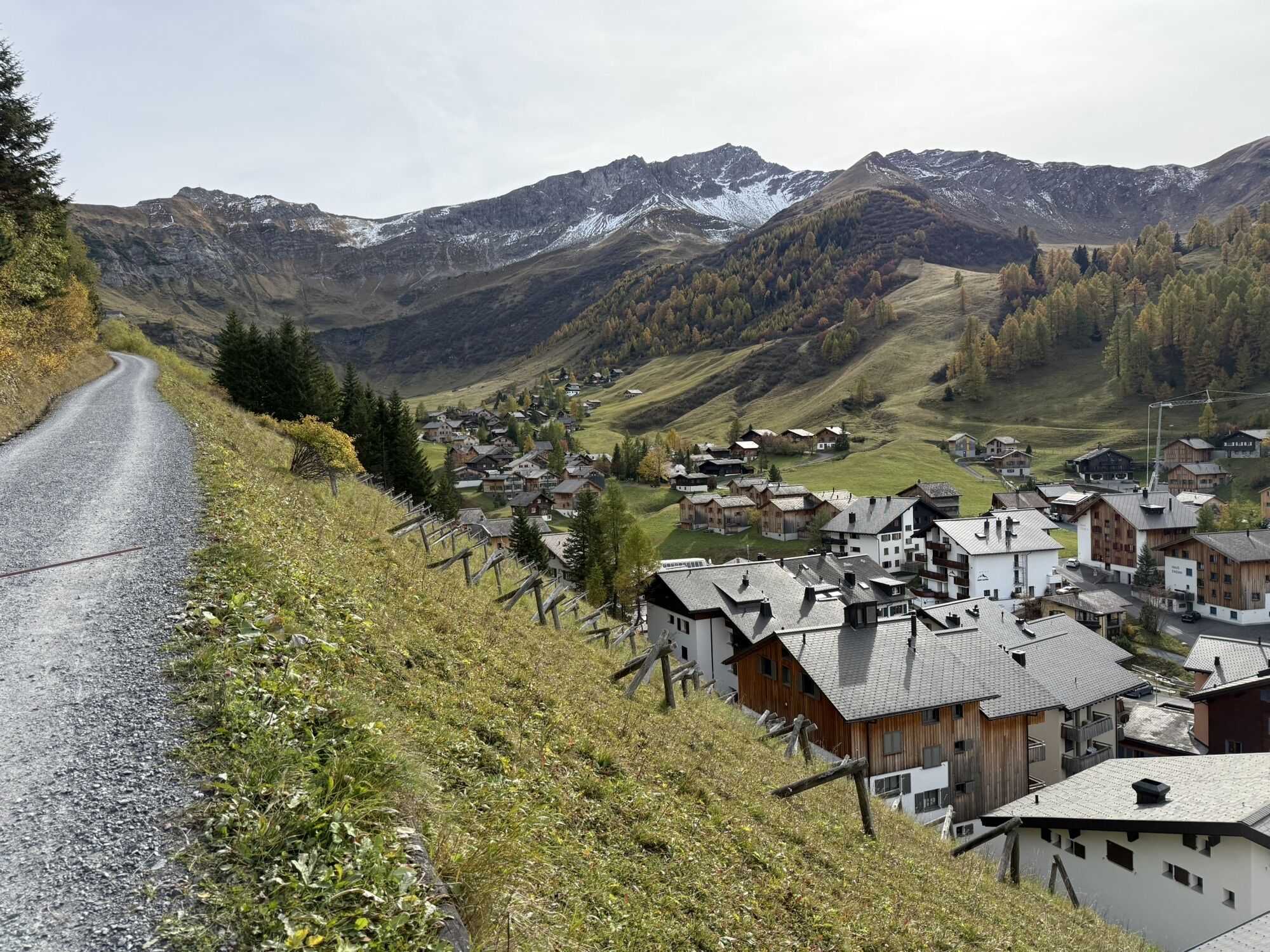
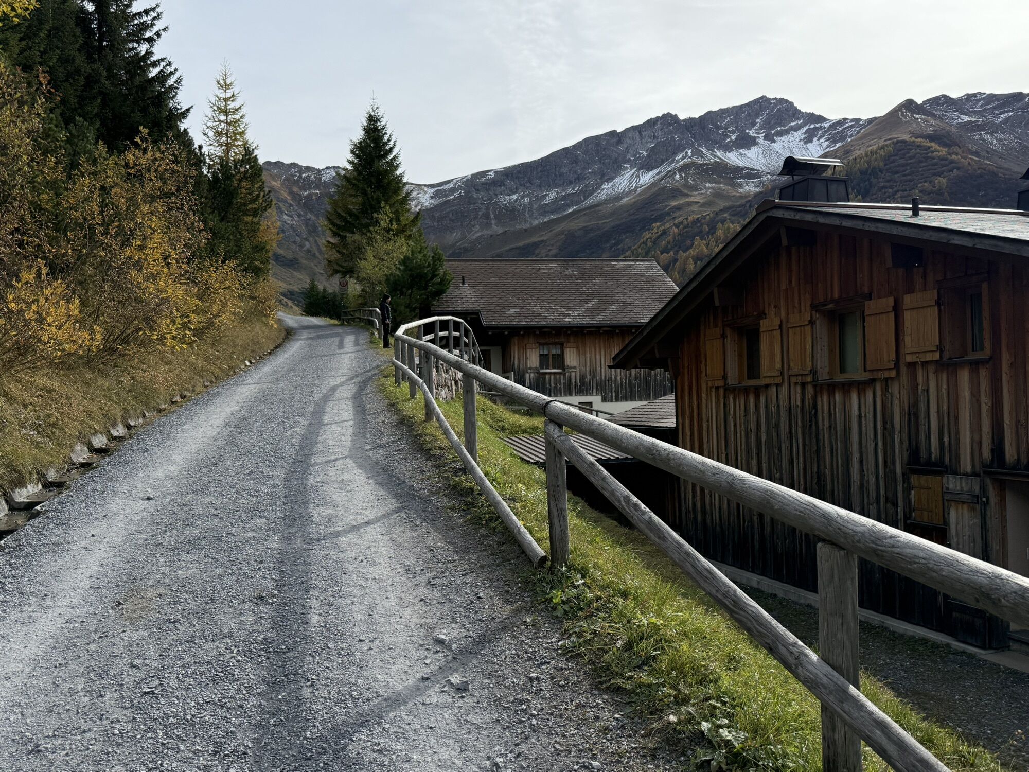
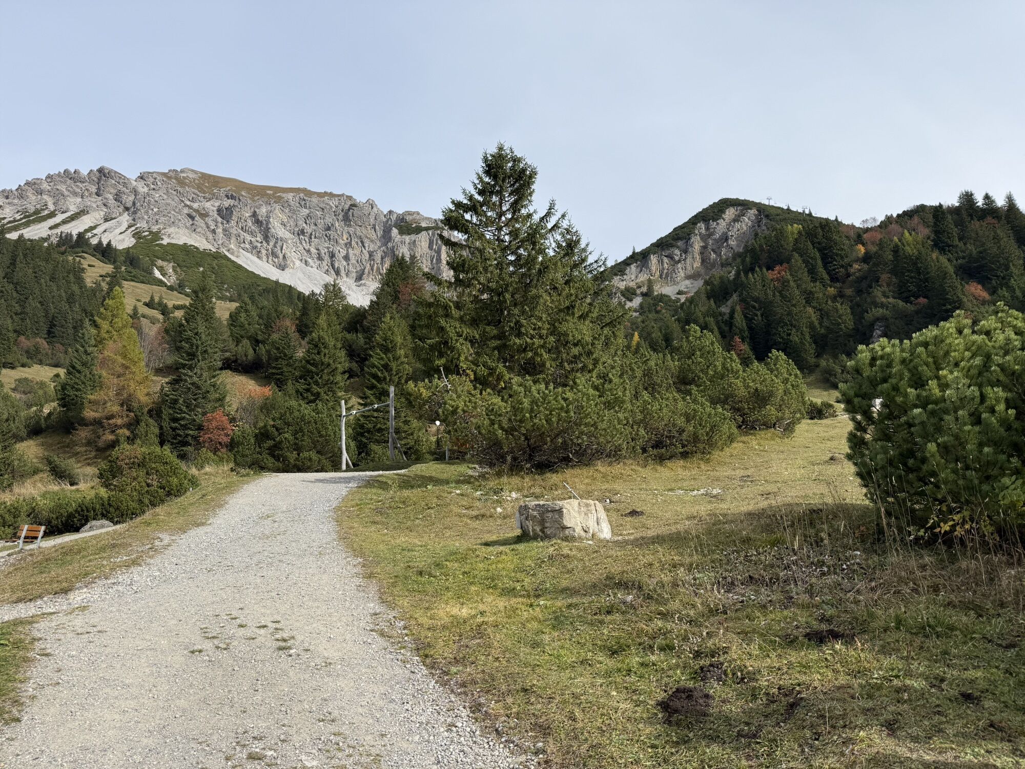
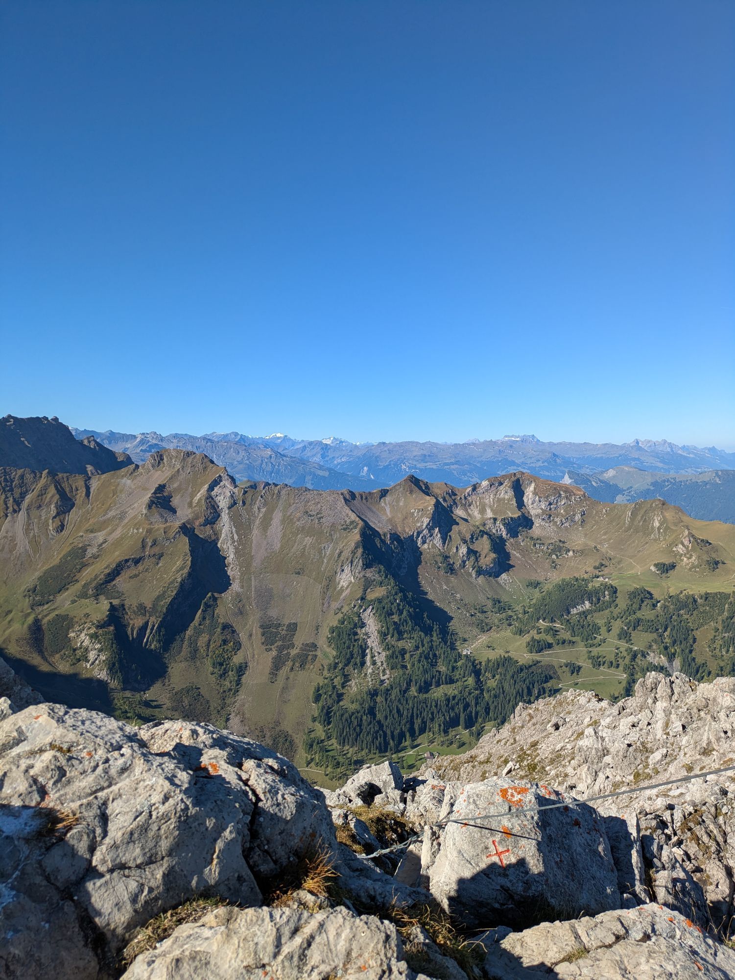
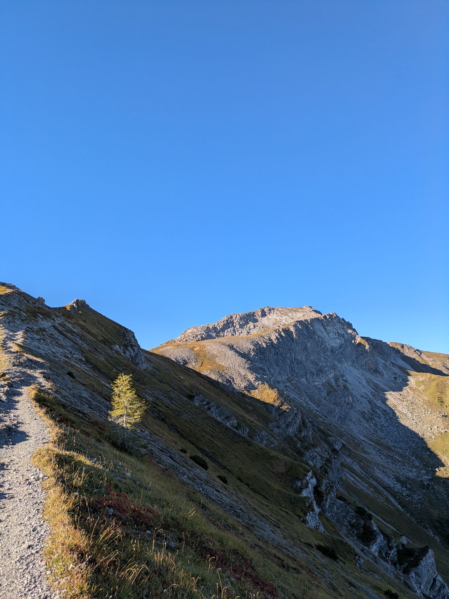
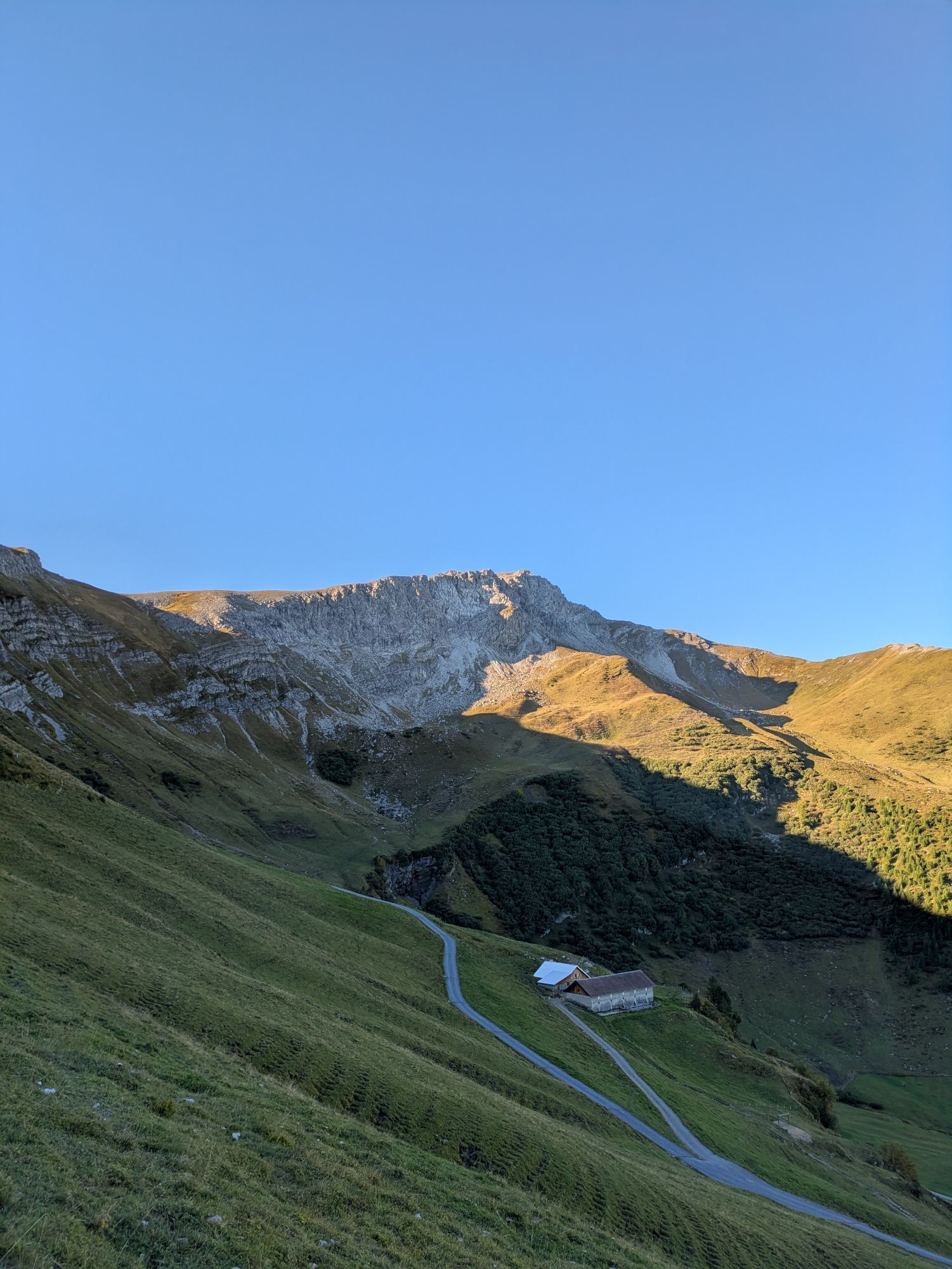
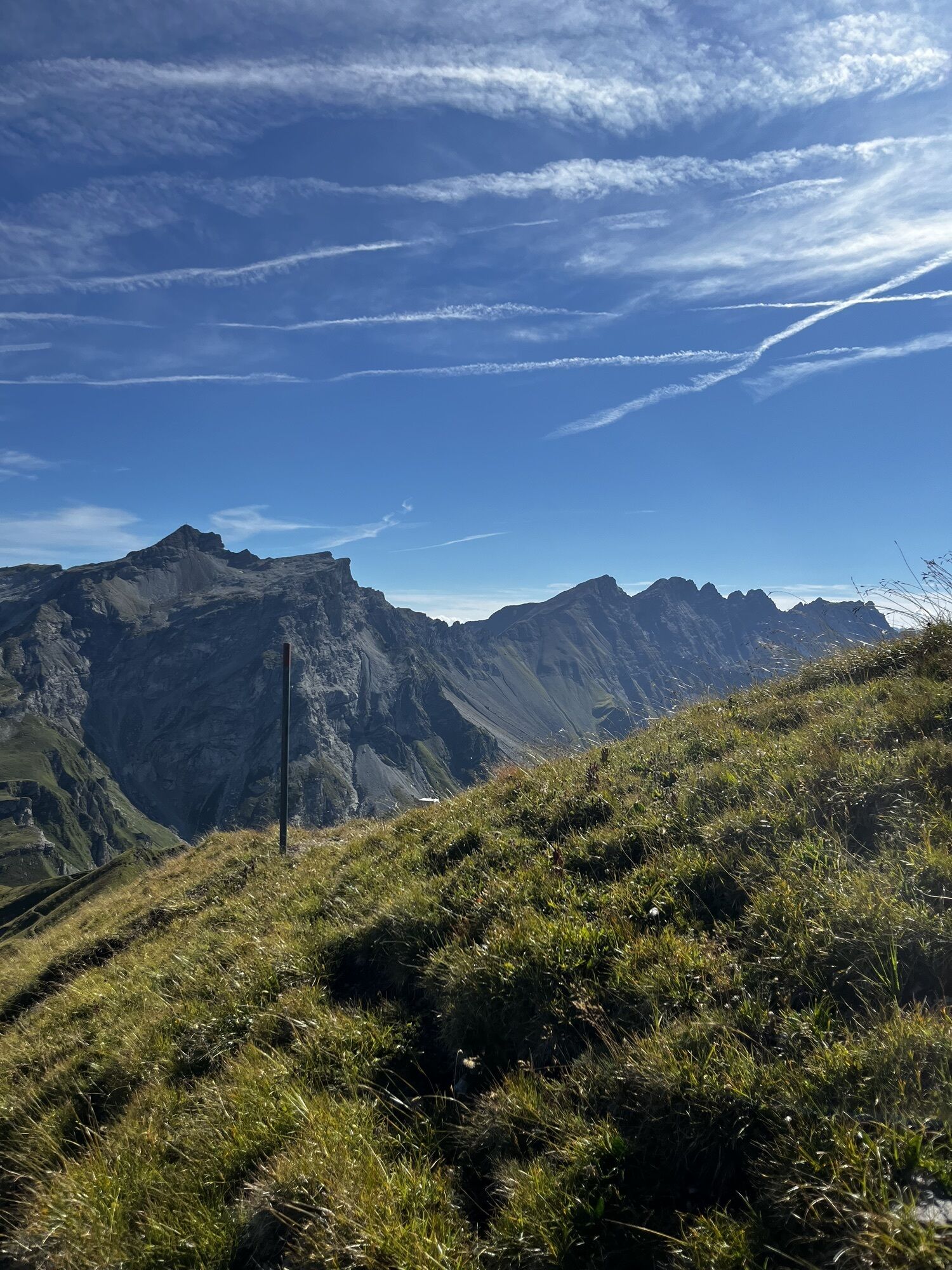
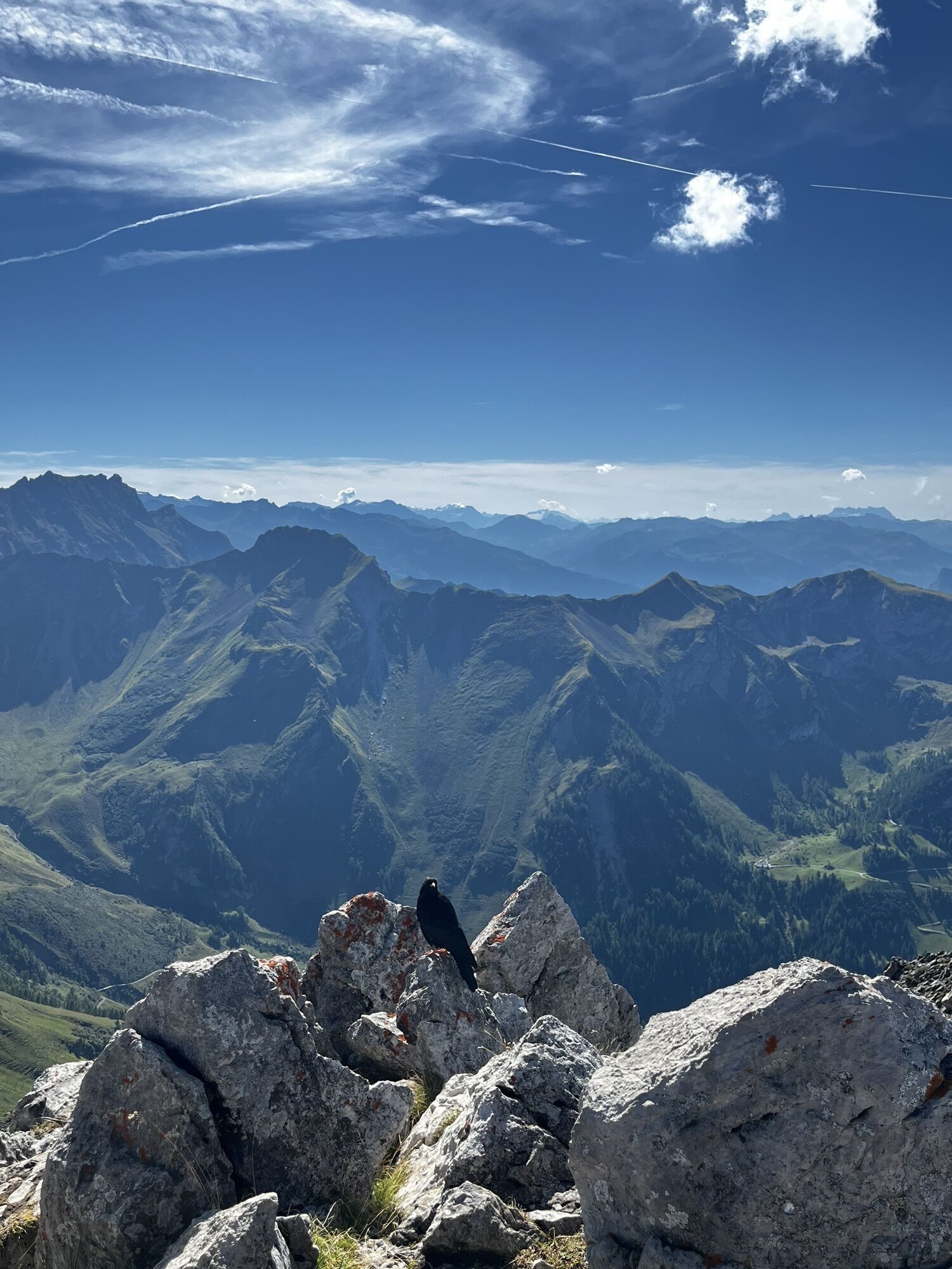
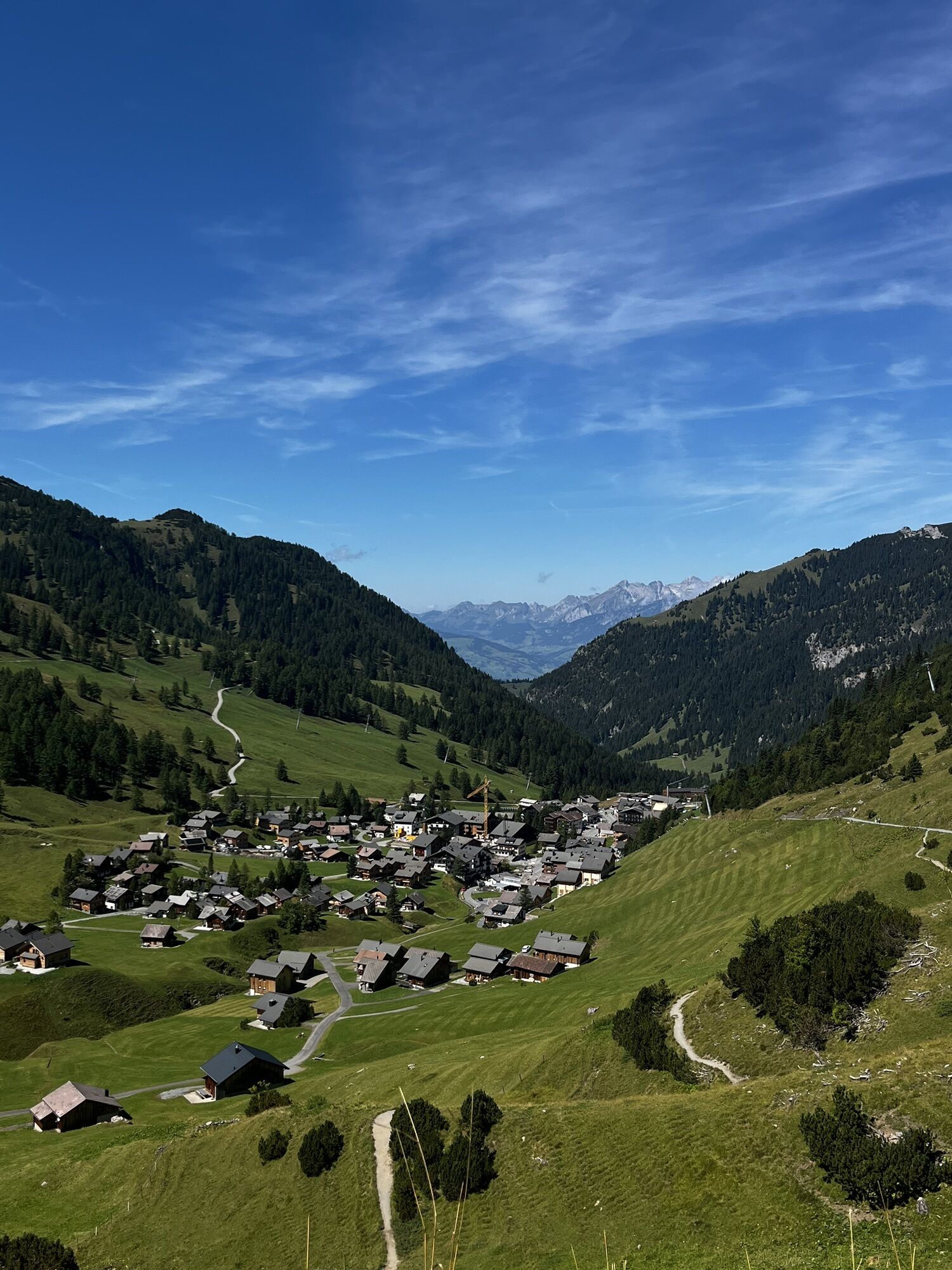
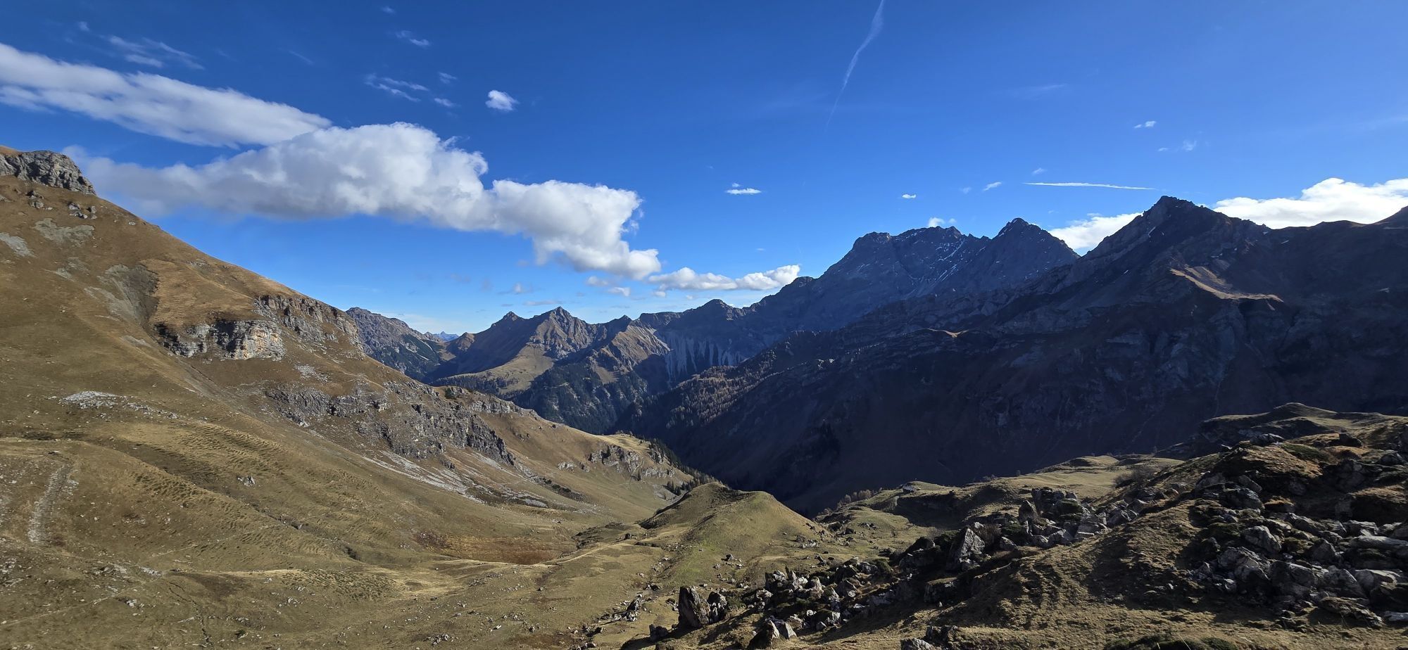
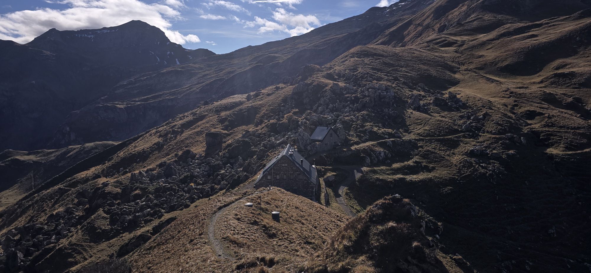
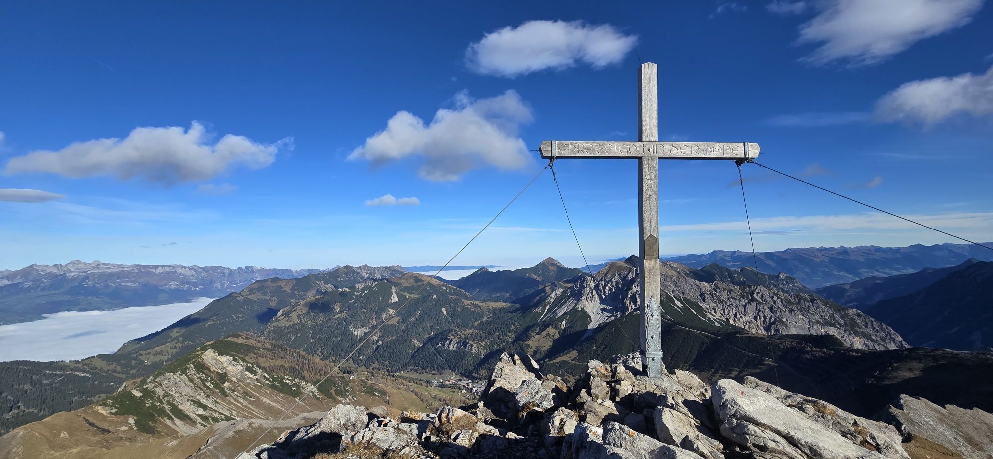
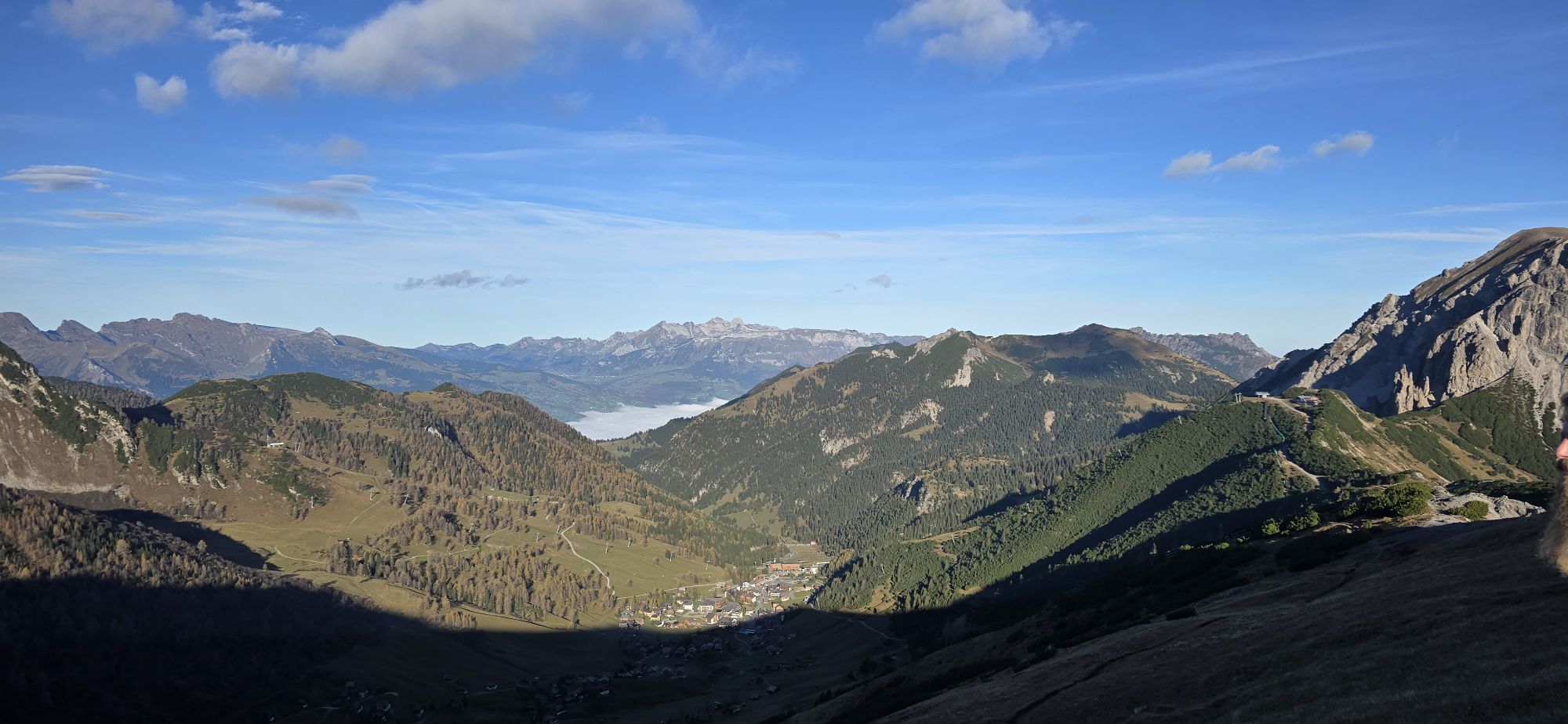
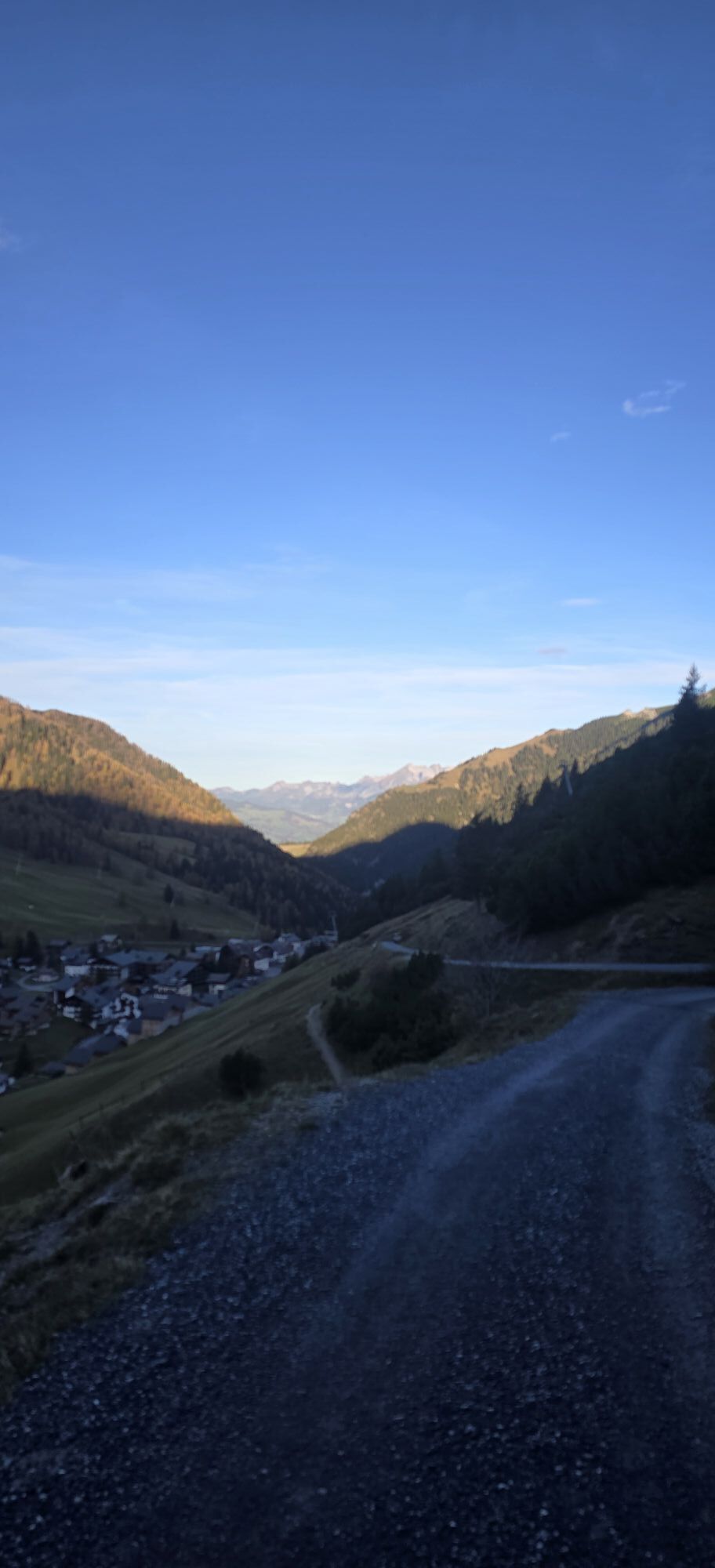
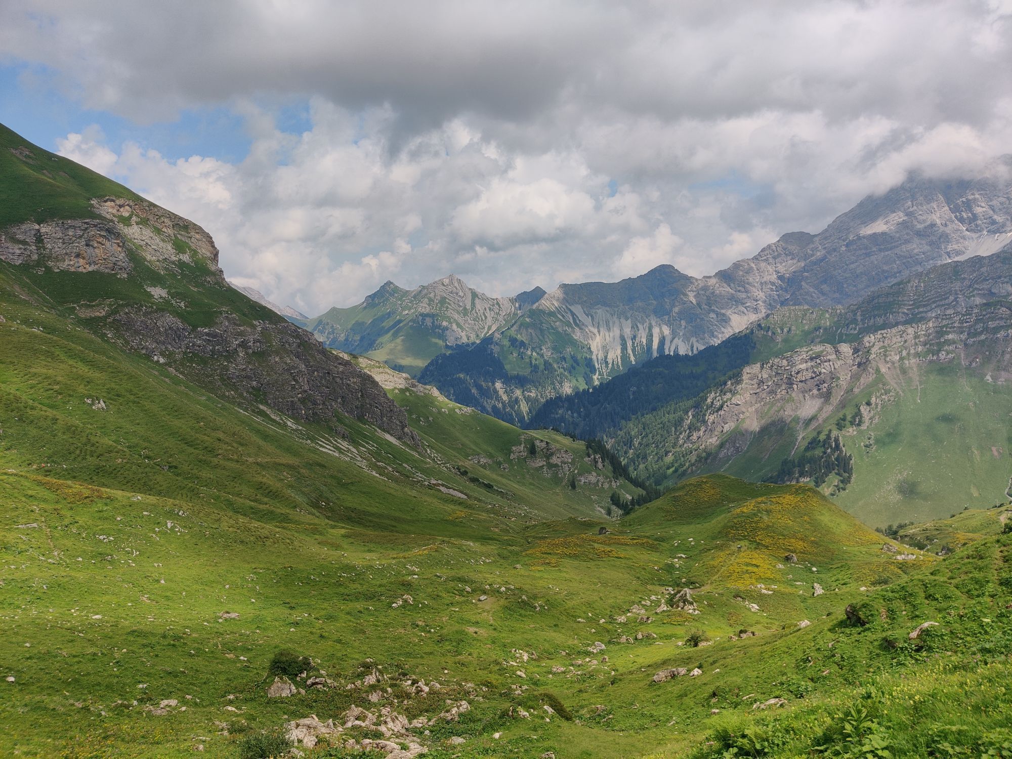
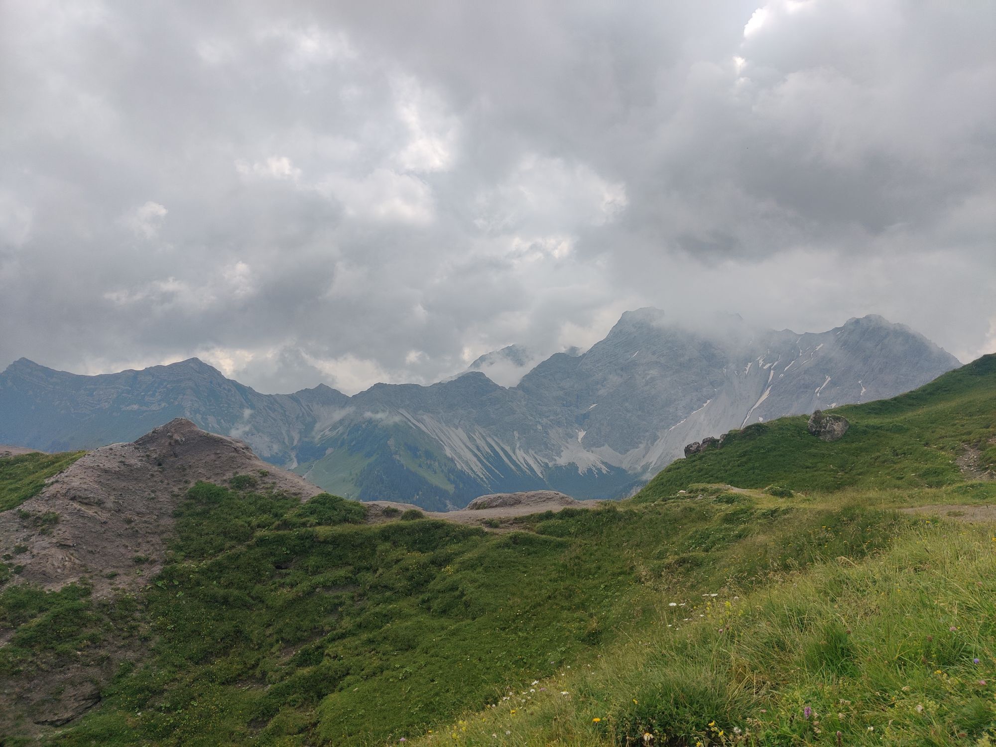
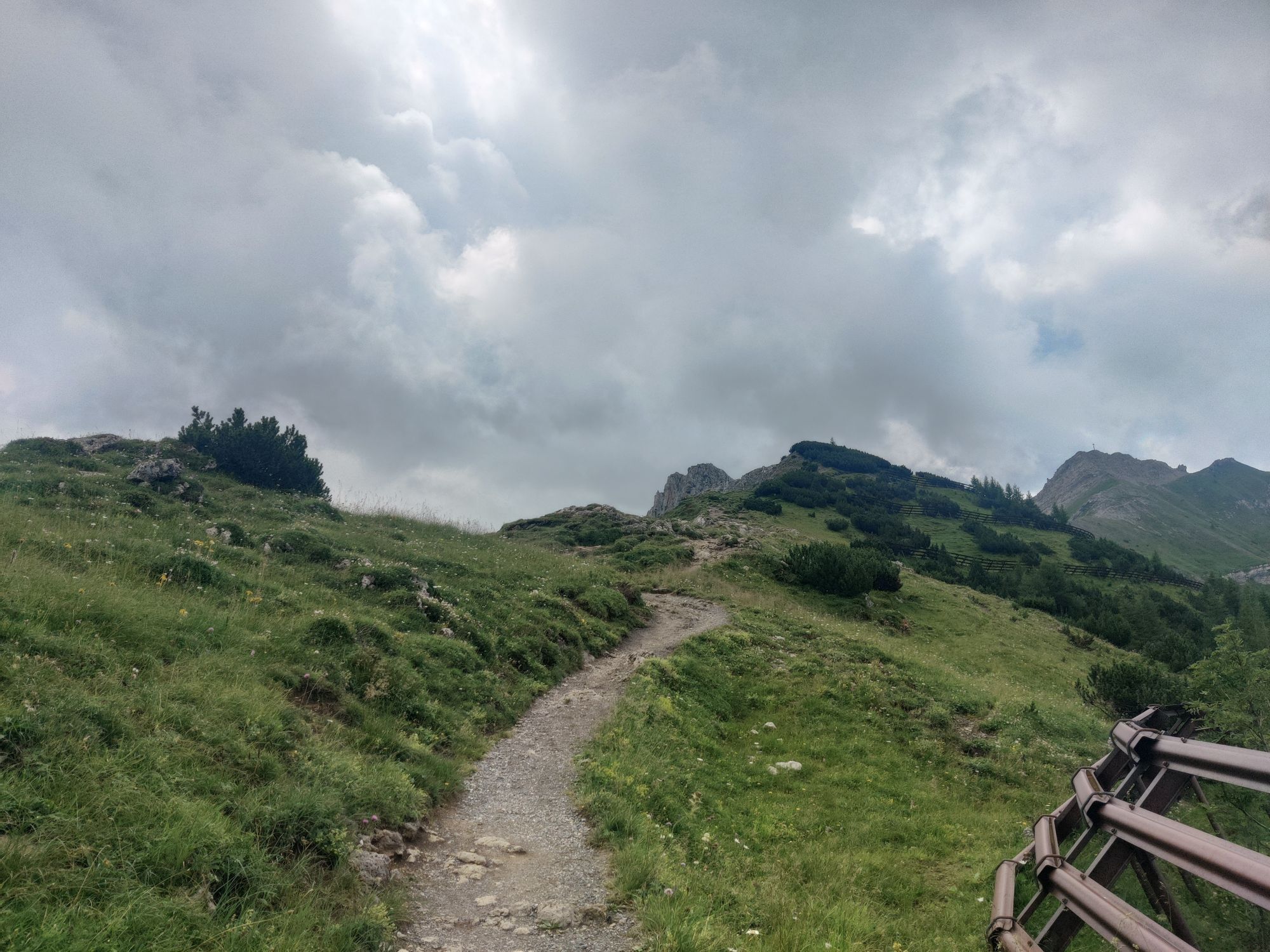
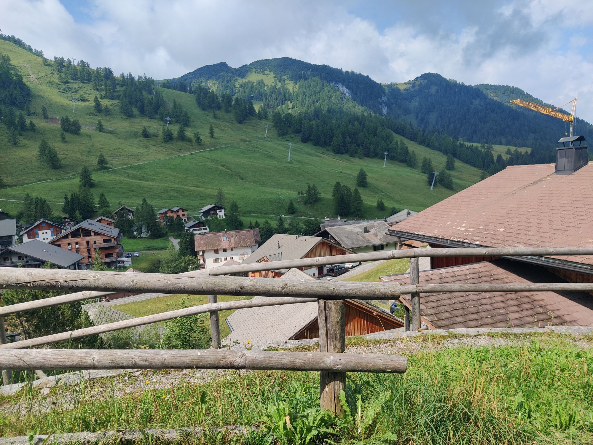
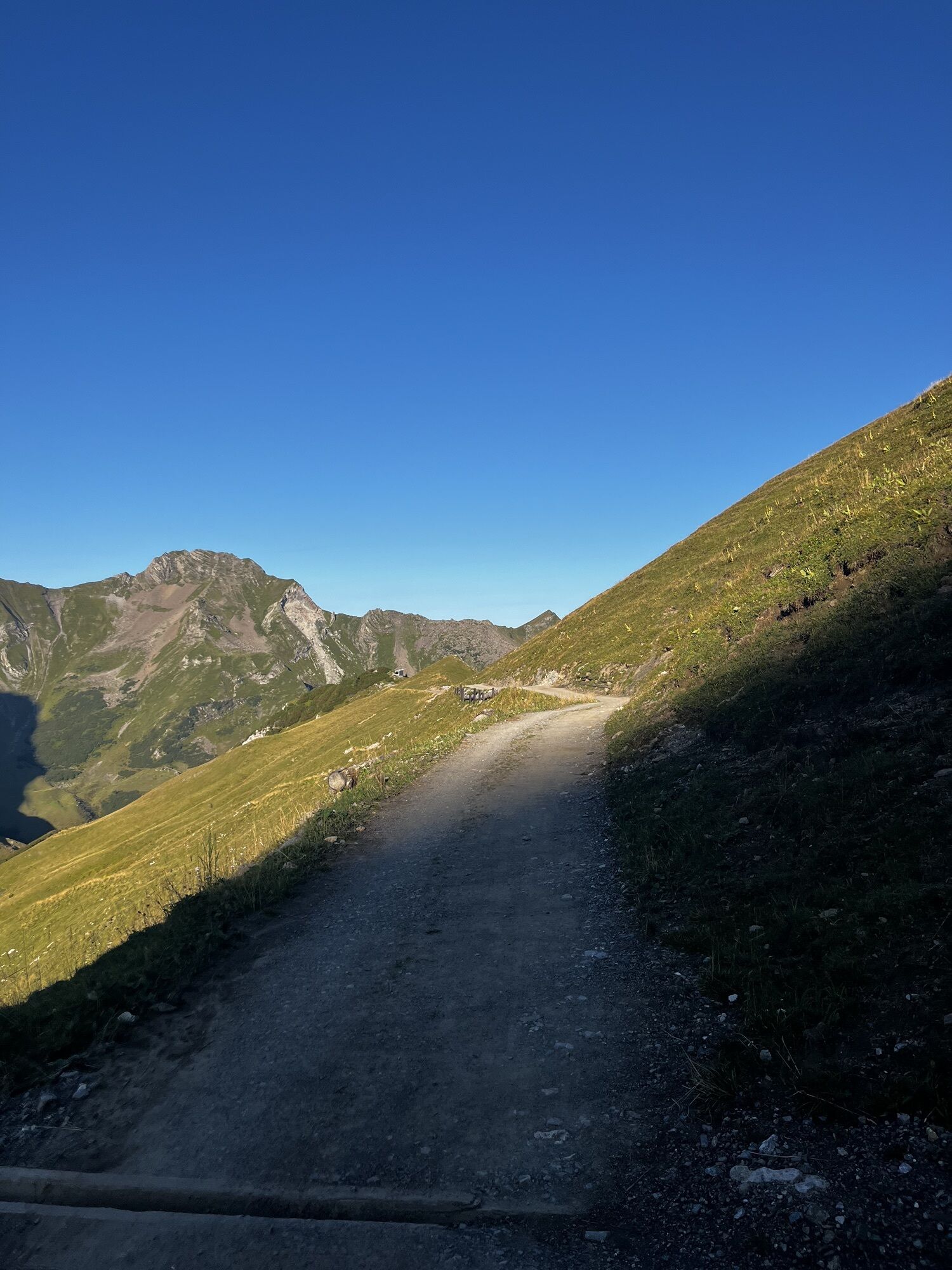
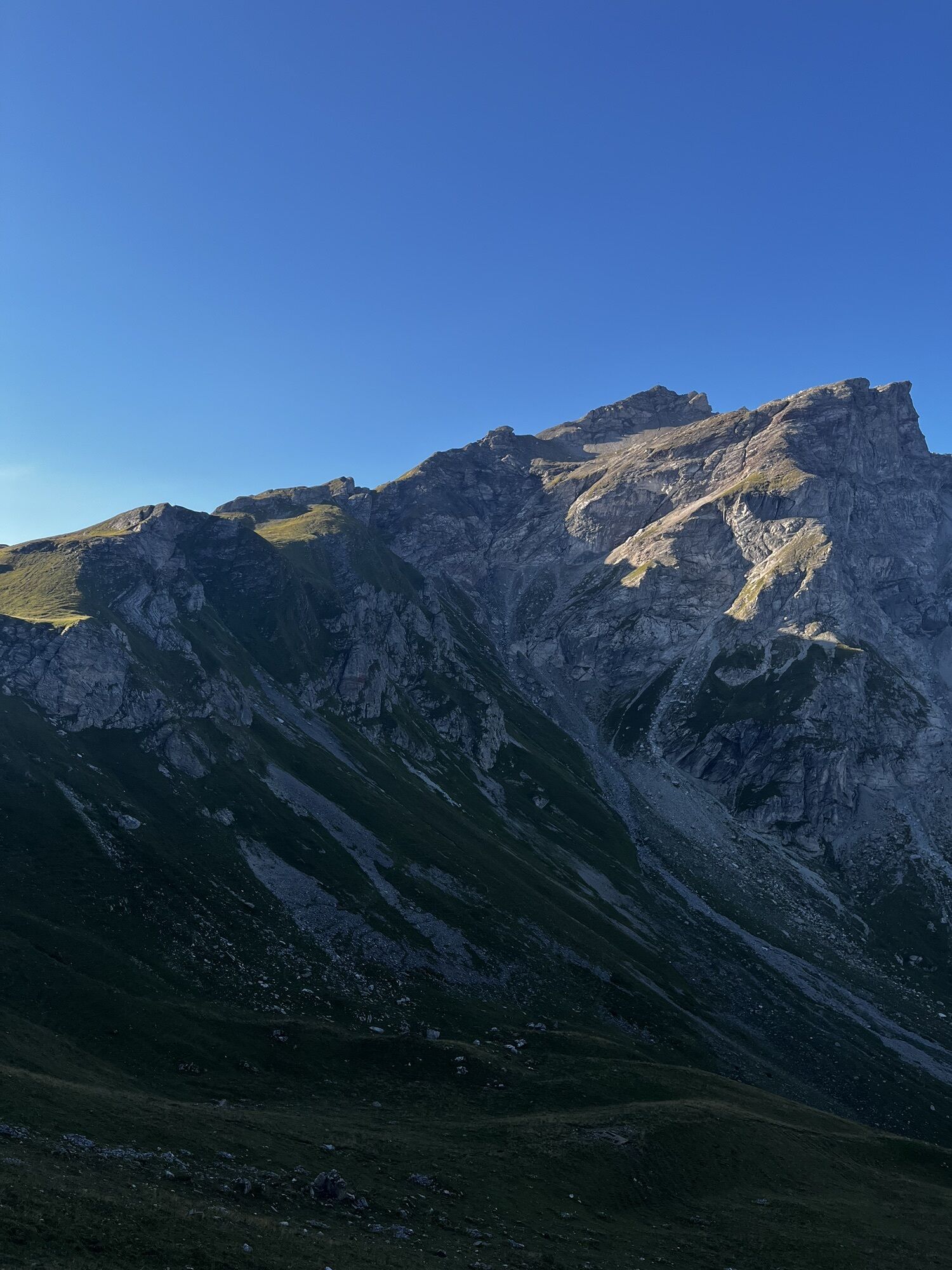
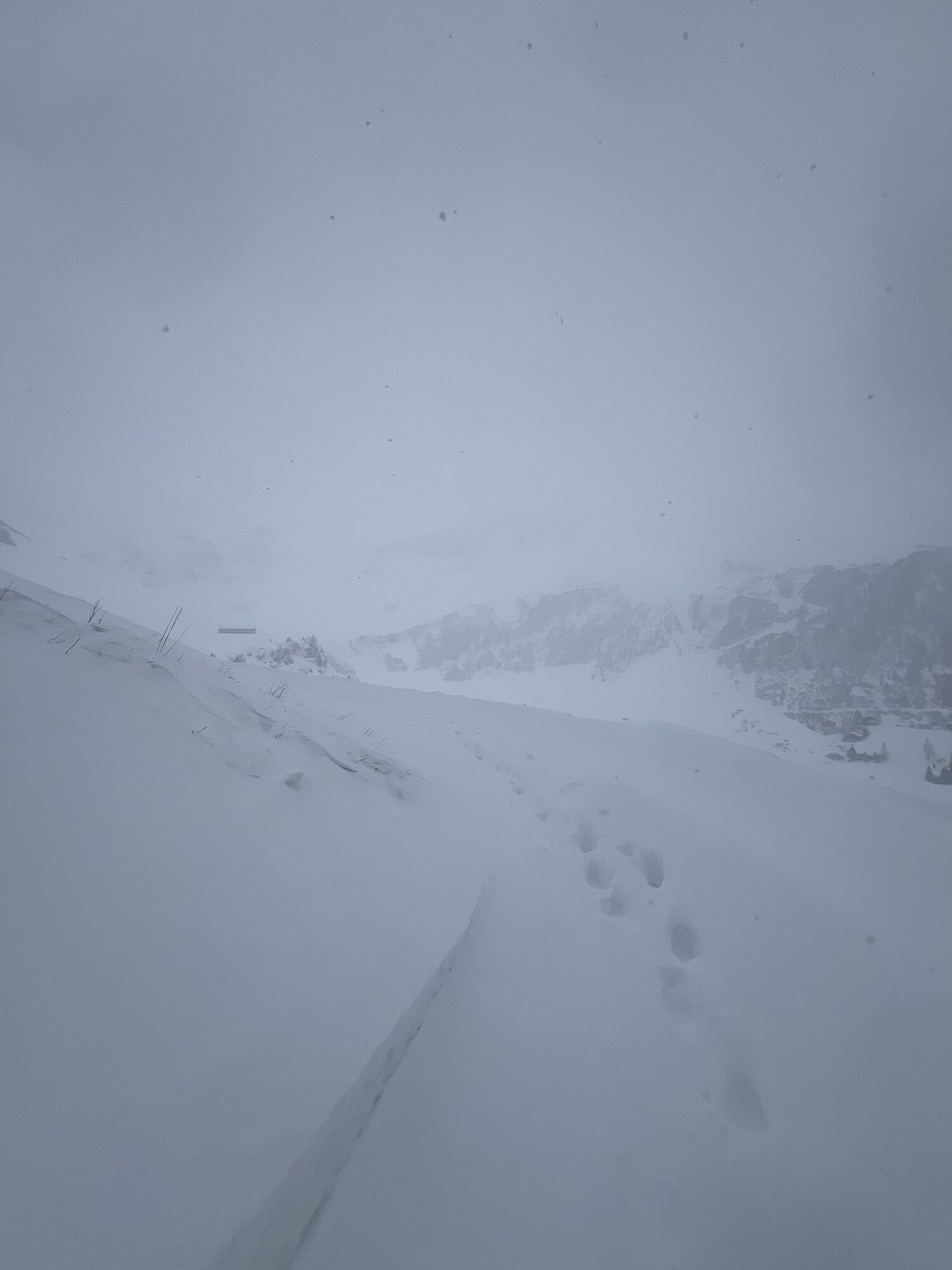
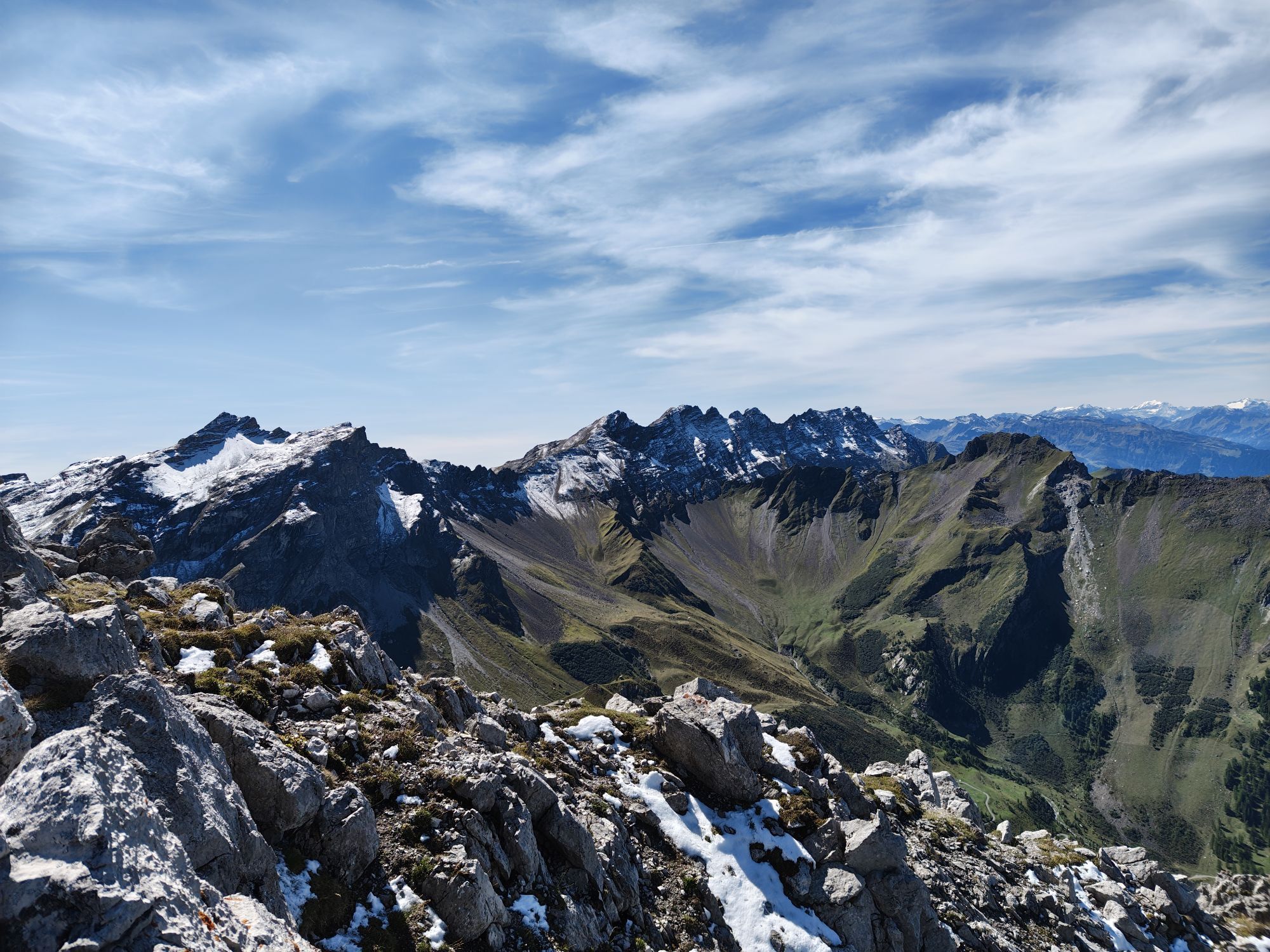
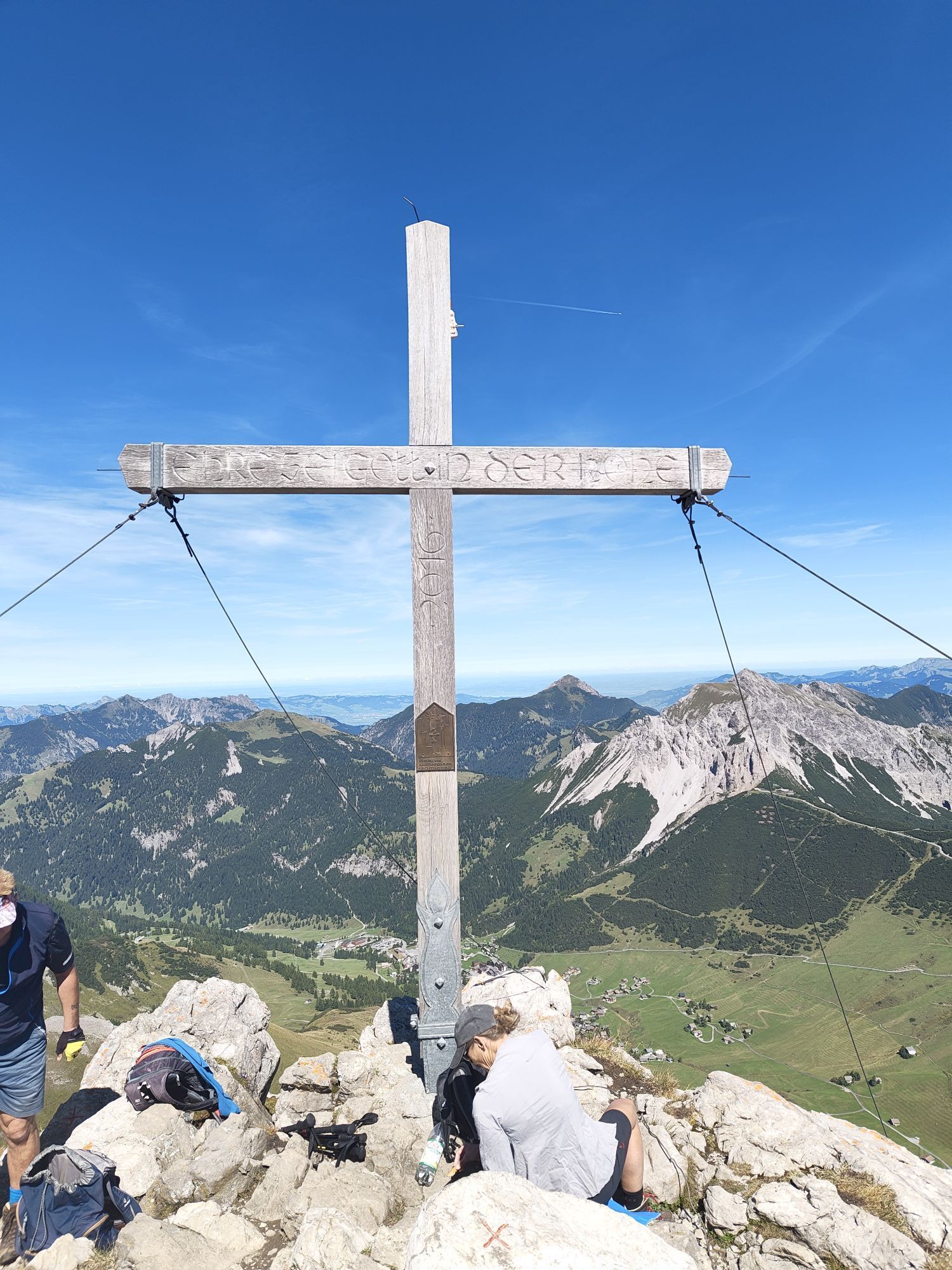
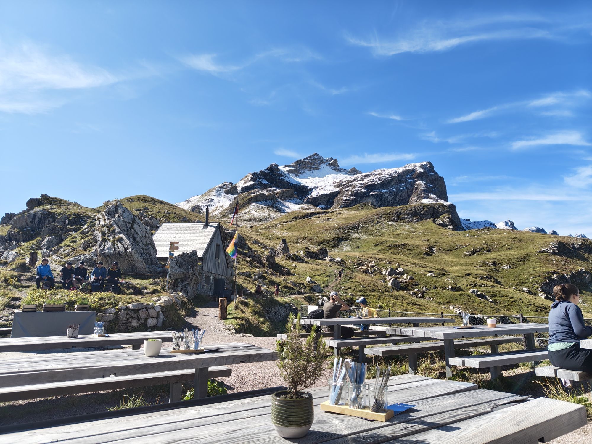
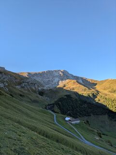
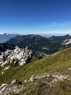
Magnificent circular hike on the Fürstin-Gina-Weg to the Augstenberg and along the flower-covered ridge on a secured mountain path down to the Pfälzerhütte of the Liechtenstein Alpine Club (2108 m) at...
The Pfälzerhütte on the Austrian border is the starting point for the Liechtenstein trail to Schesaplana.
Tip: rewarding ascent on the marked mountain trail to the Naafkopf (2570 m). Descent from the Pfälzerhütte on marked mountain trails through the Naaftal or from Gritsch via the Rettaweg to Steg. Marked mountain trails to Nenzinger Himmel, Malanser Älplibahn or Schesaplanahütte.
Variants:
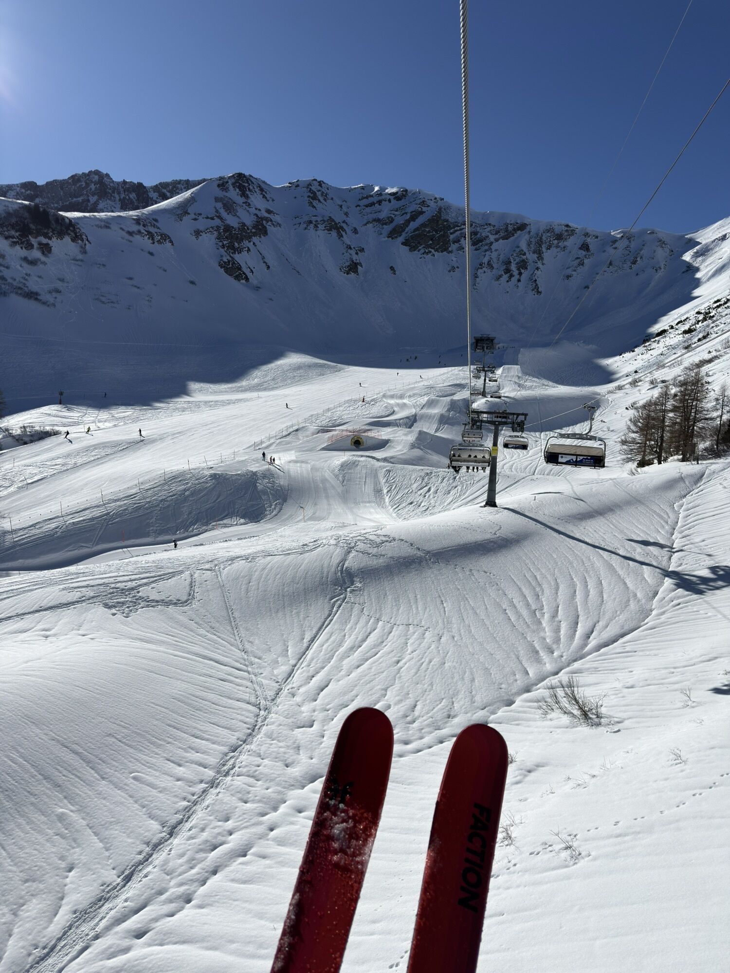
A: Take the chairlift to Sareis and continue to Sareiserjoch (altitude difference: -376 m / duration: -45 min.)
B: From the Pfälzerhütte to the Naafkopf (length: 2 km / altitude difference: 462 m)
Here you can find all information about hiking in Liechtenstein at a glance!

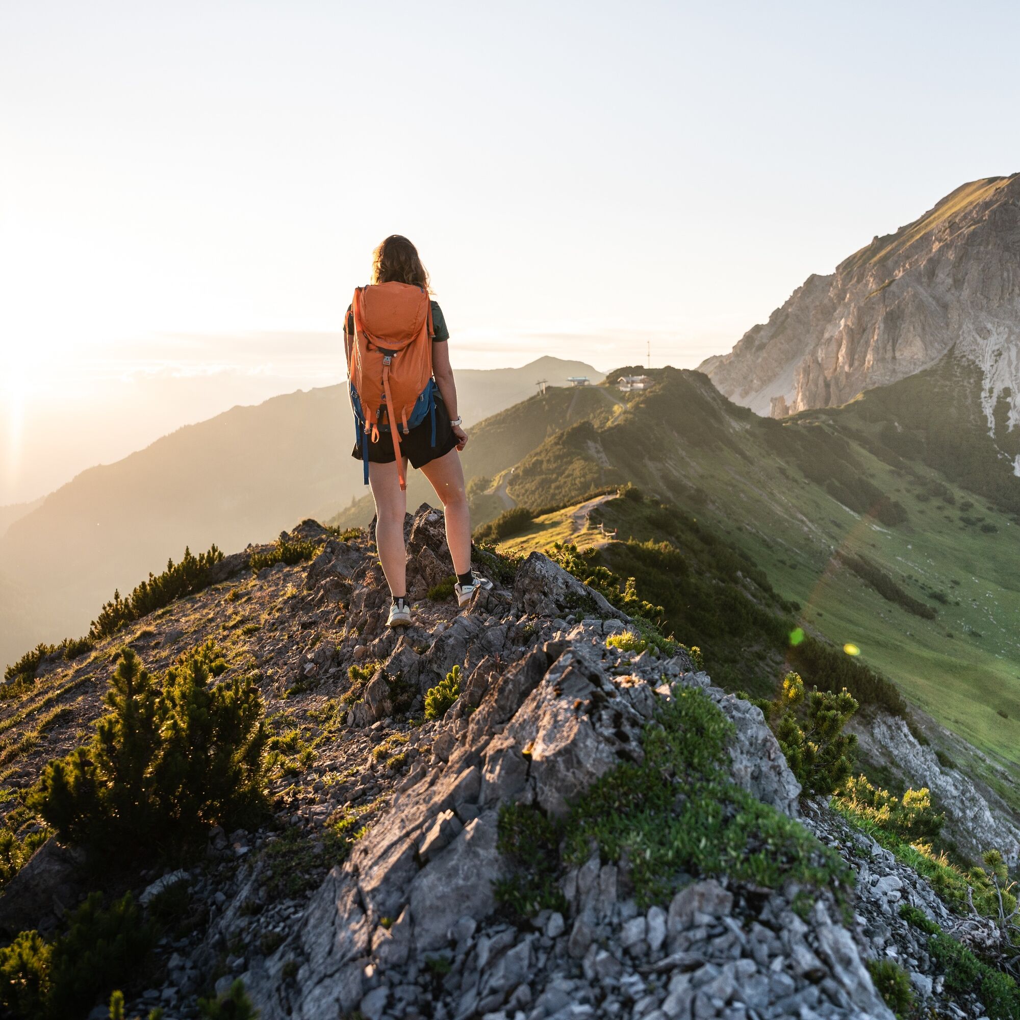
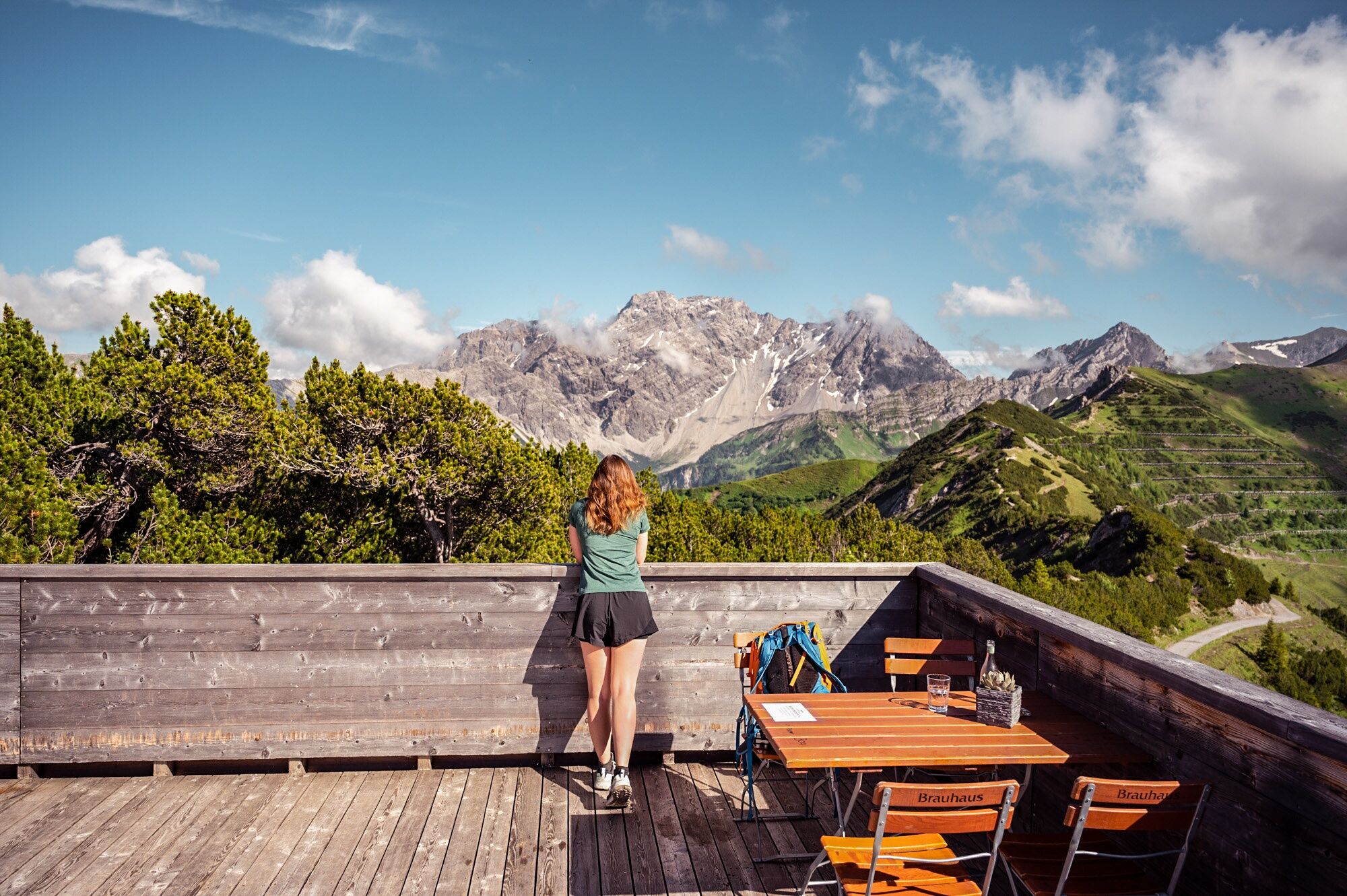
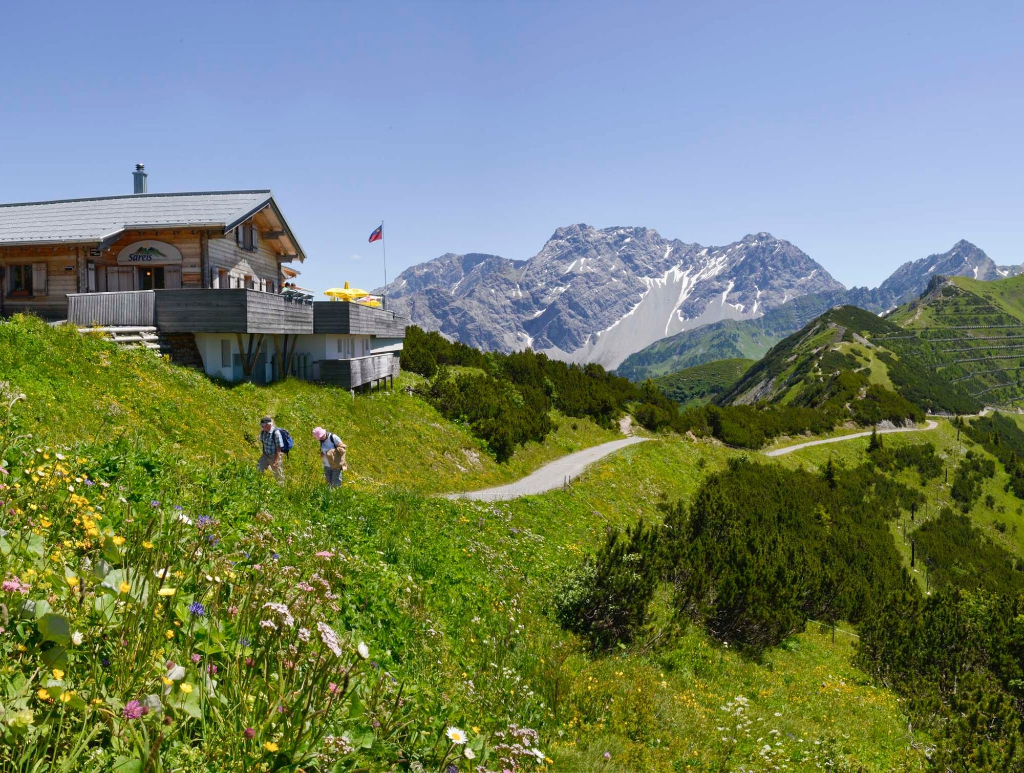
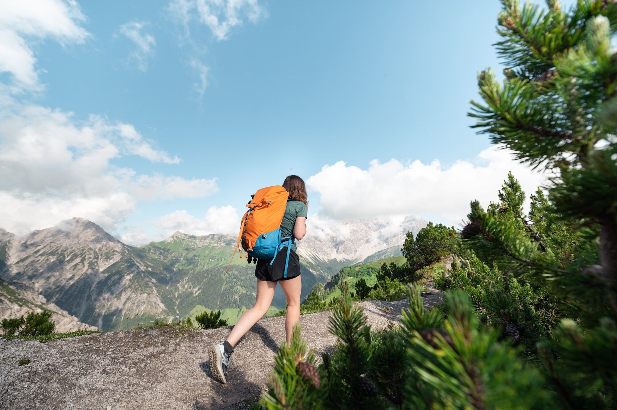
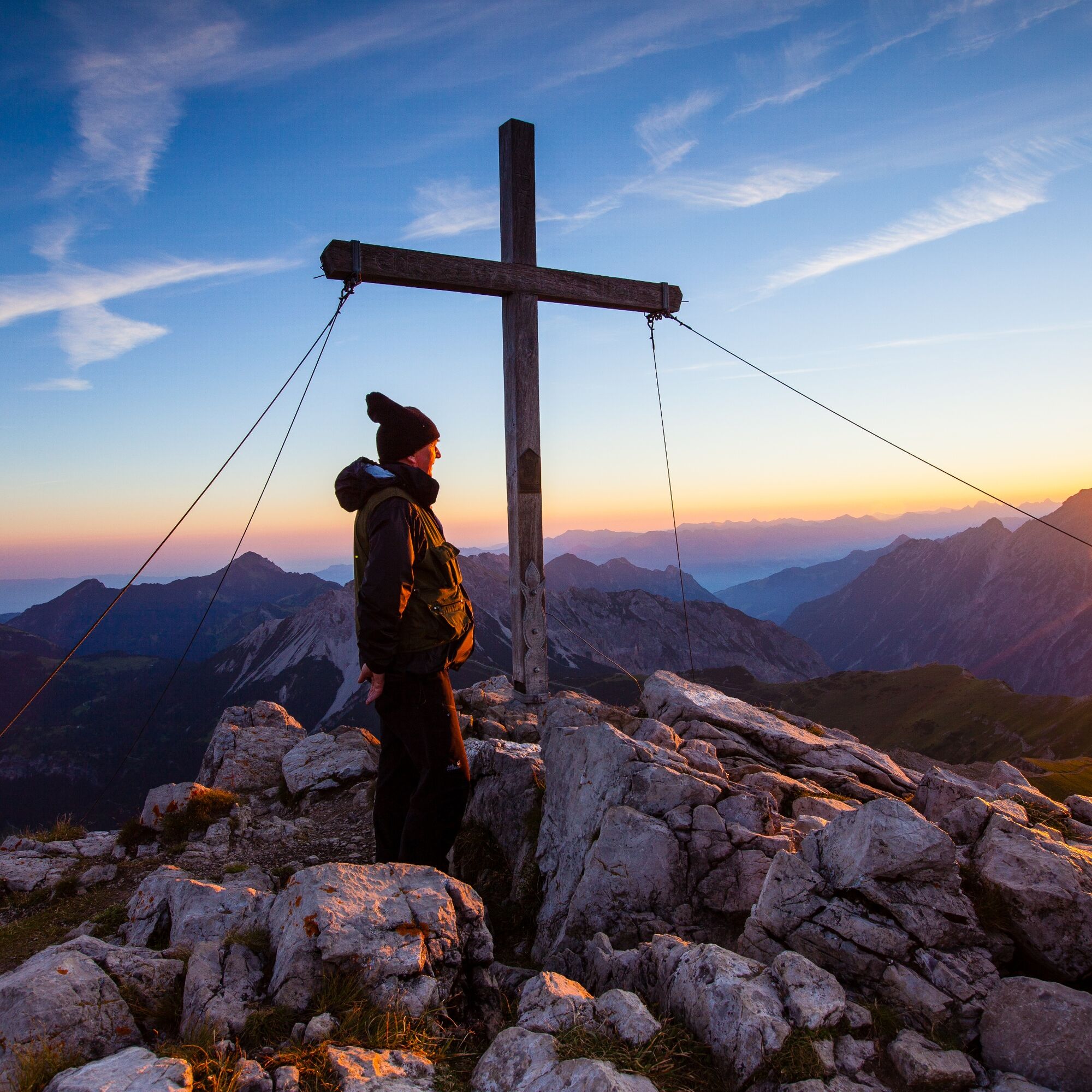
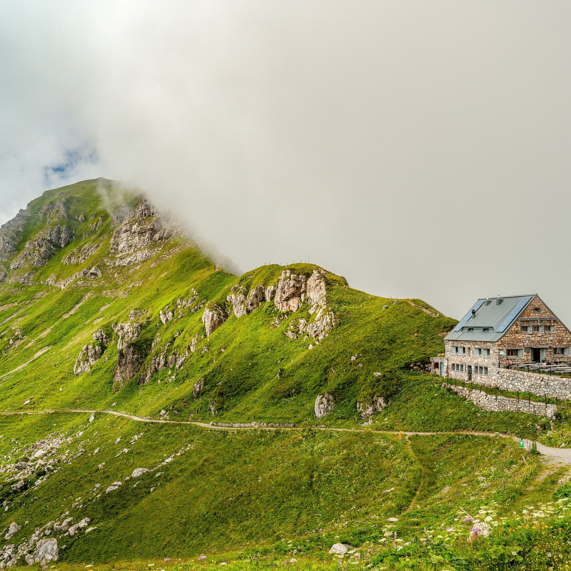
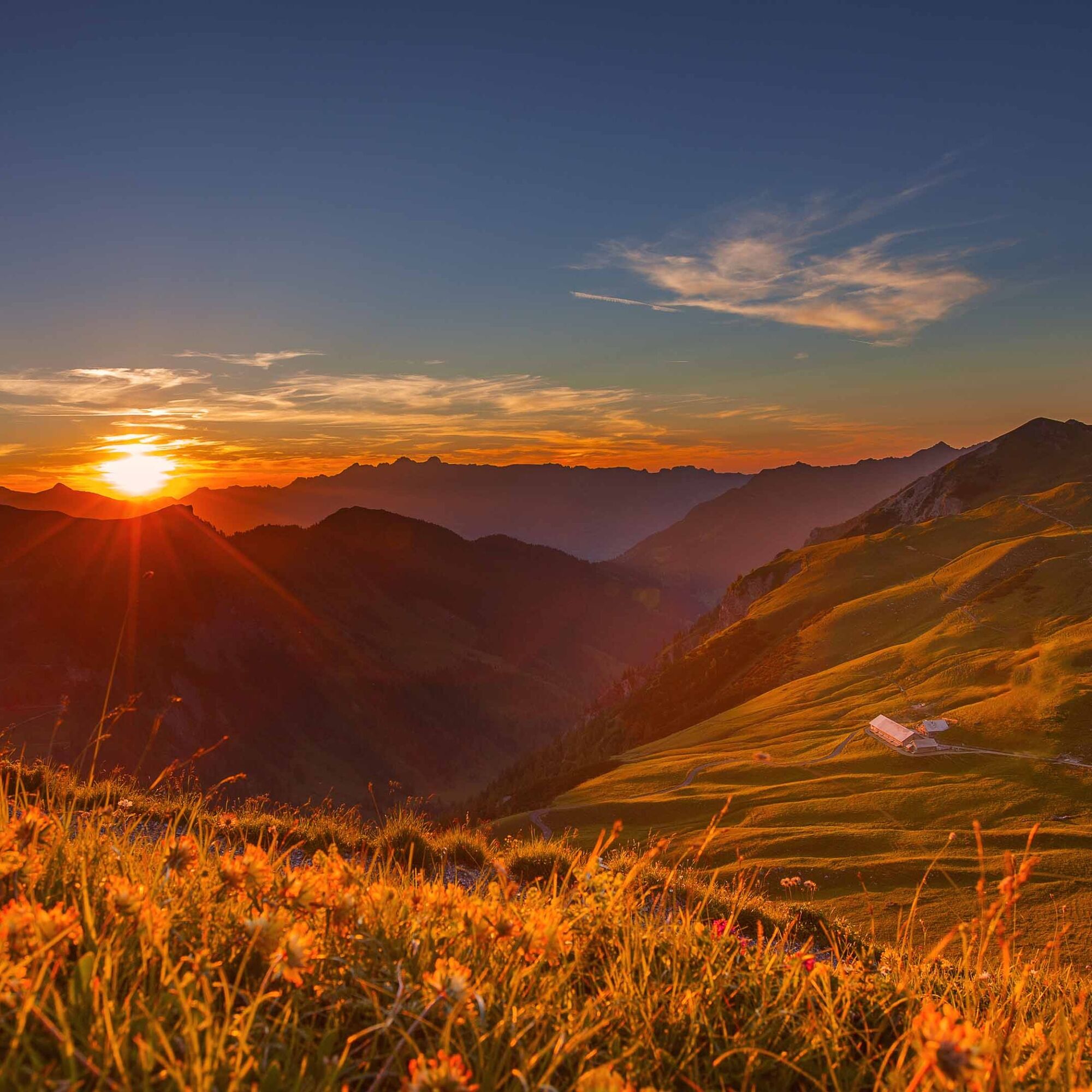
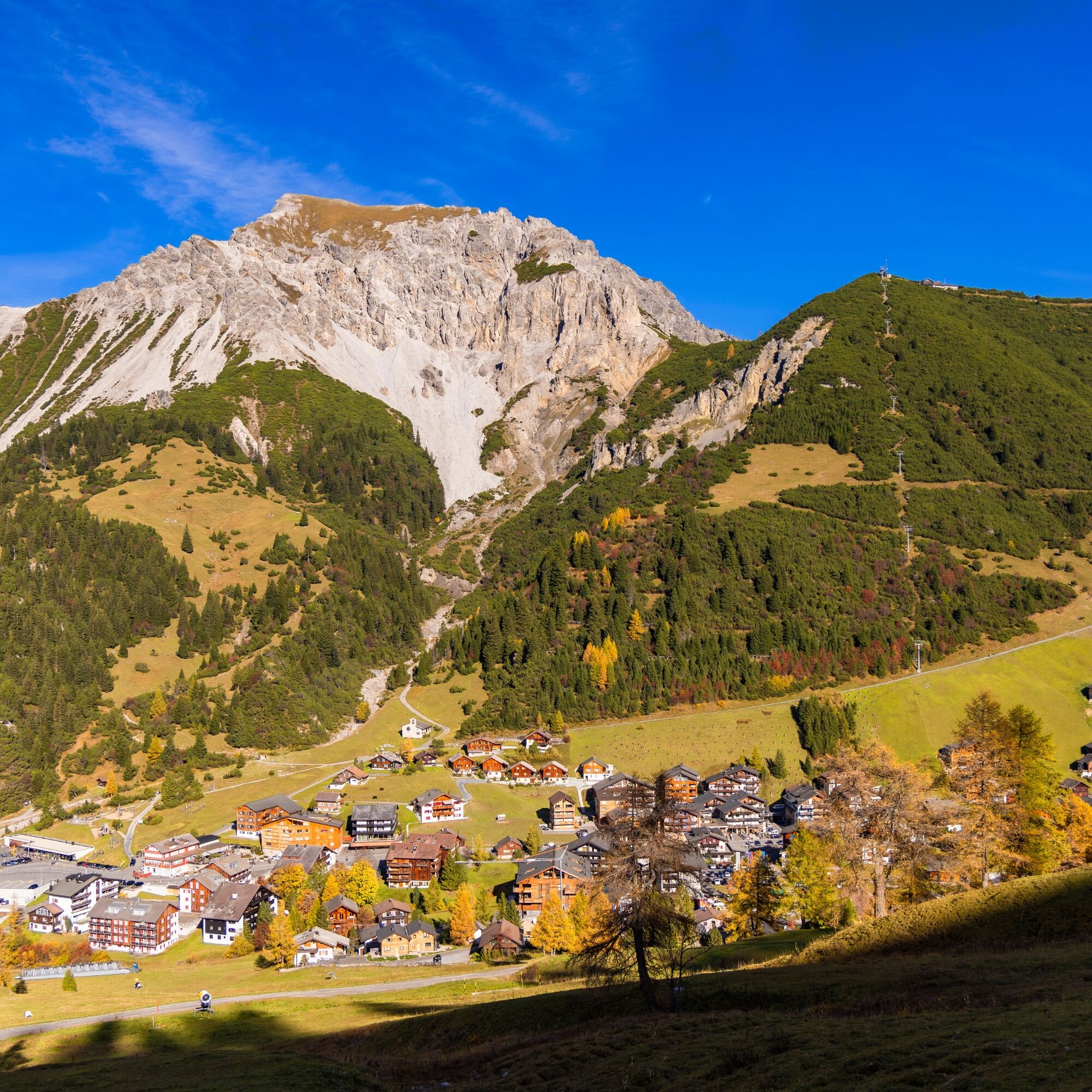

Malbun - Sareiserjoch - Fürstin-Gina-Weg - Augstenberg - Pfälzerhütte - Gritsch - Täle Höhe - Malbun
Tak
Tak
Careful planning is required before embarking on a tour. We recommend that you check the routes and weather conditions with the local information offices beforehand. Depending on the time of year and weather conditions, this route may be closed or interrupted.
Parking is available at the entrance to the village of Malbun.



 Uzyskaj wgląd Zawsze na żywo z ponad 9 500 kamer internetowych. bergfex Jako użytkownik Pro, możesz teraz zobaczyć odpowiednie kamery internetowe dla wielu wycieczek w aplikacji wycieczki od. Pozwala to na bezpośredni podgląd aktualnych warunków.


Popularne wycieczki w okolicy
- 4,2
Mondspitze (Montspitze)
średniWędrówka 7,97 km - 5,0
Douglasshütte, Lünersee, Gafalljoch Brand bei Bludenz, Vorarlberg
światłoWędrówka 9,16 km - 3,8
Sassweg - von Malbun zum Sass-Seelein
Wędrówka 4,14 km - 3,7
Fürstin-Gina-Weg
Wędrówka 10,7 km - 4,6
To the summit cross of the Alpspitz
światłoWędrówka 6,27 km - 4,8
Douglashütte - Schesaplana
średniWędrówka 7,31 km - 4,8
From Malbun to the Schönberg
średniWędrówka 12,4 km - 4,6
Pizalun circular route
światłoWędrówka 7,18 km - 4,6
Tamina Gorge Circular Route
średniWędrówka 14,0 km - 3,5
Fürstensteig-Drei Schwestern
Wędrówka 12,9 km

Wędrówki i tropienie


Nie przegap ofert i inspiracji na następne wakacje
Twój adres e-mail została dodana do listy mailingowej.





