


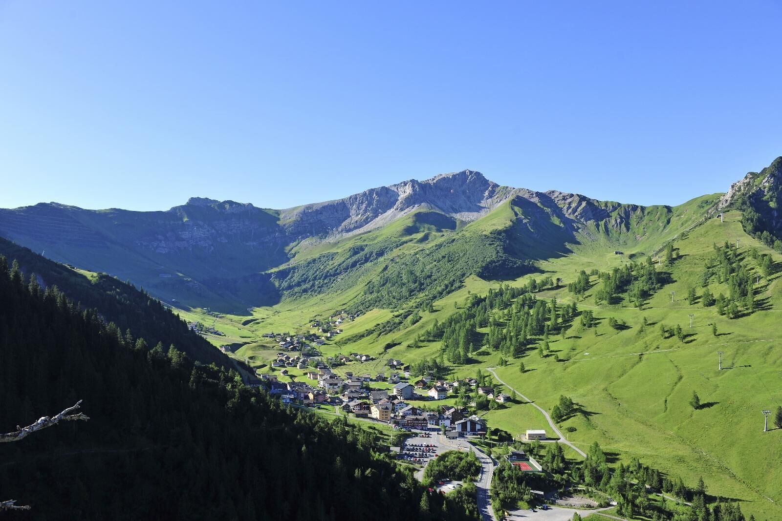
From Malbun via Galinakopf through Valorschtal
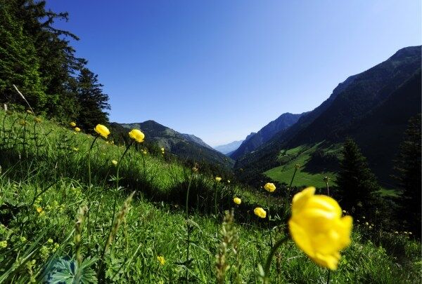
On the way to Galinakopf, we discover magnificent flora. The extensive but varied ascent leads with gentle ups and downs over pleasant mountain and forest roads. The descent to Steg leads through the romantically...
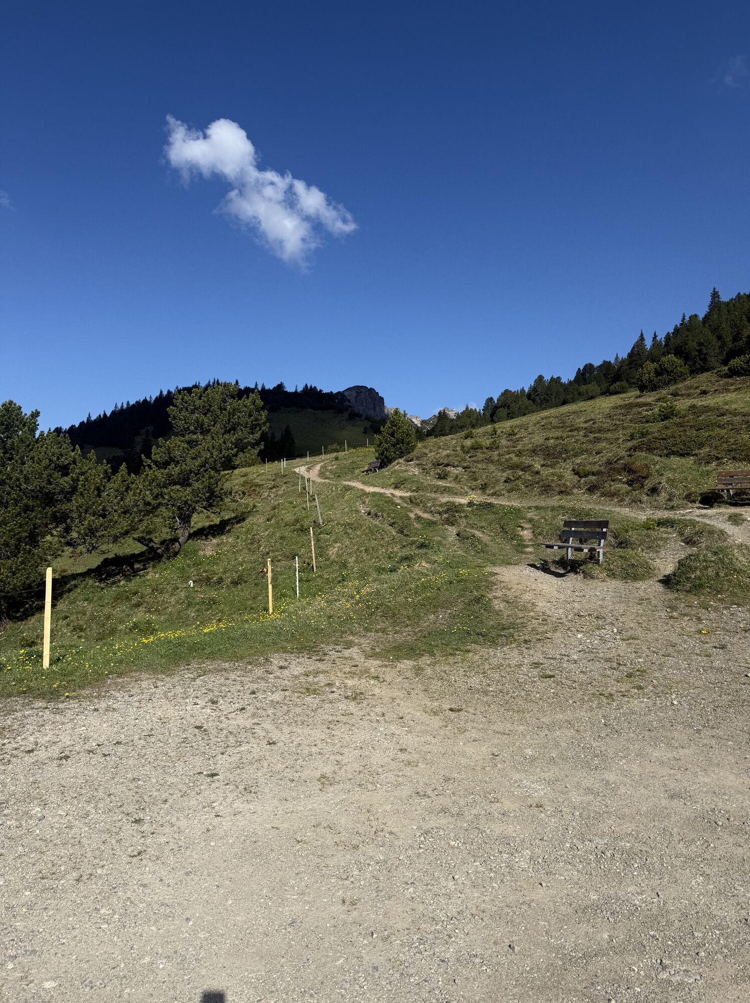
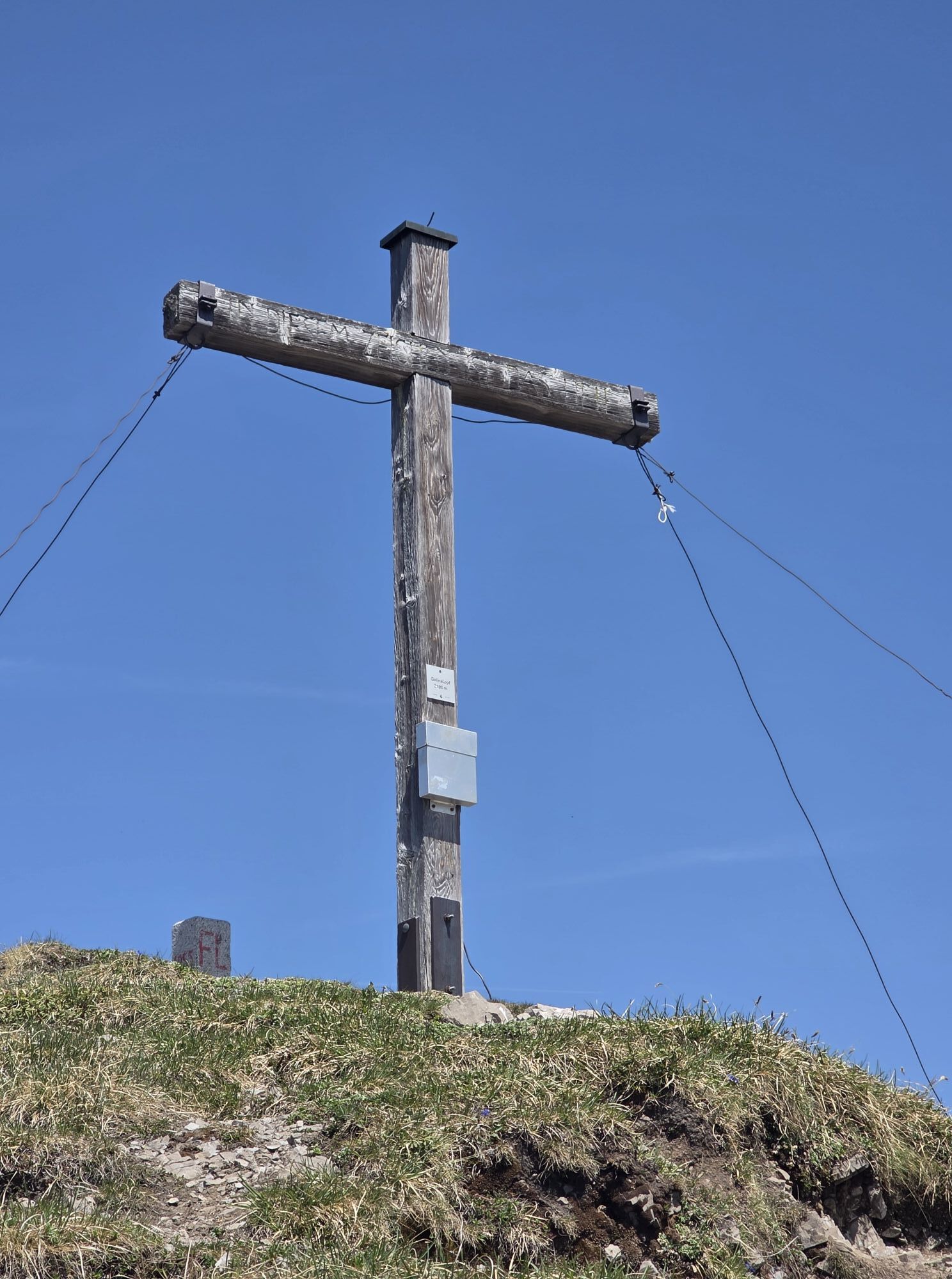
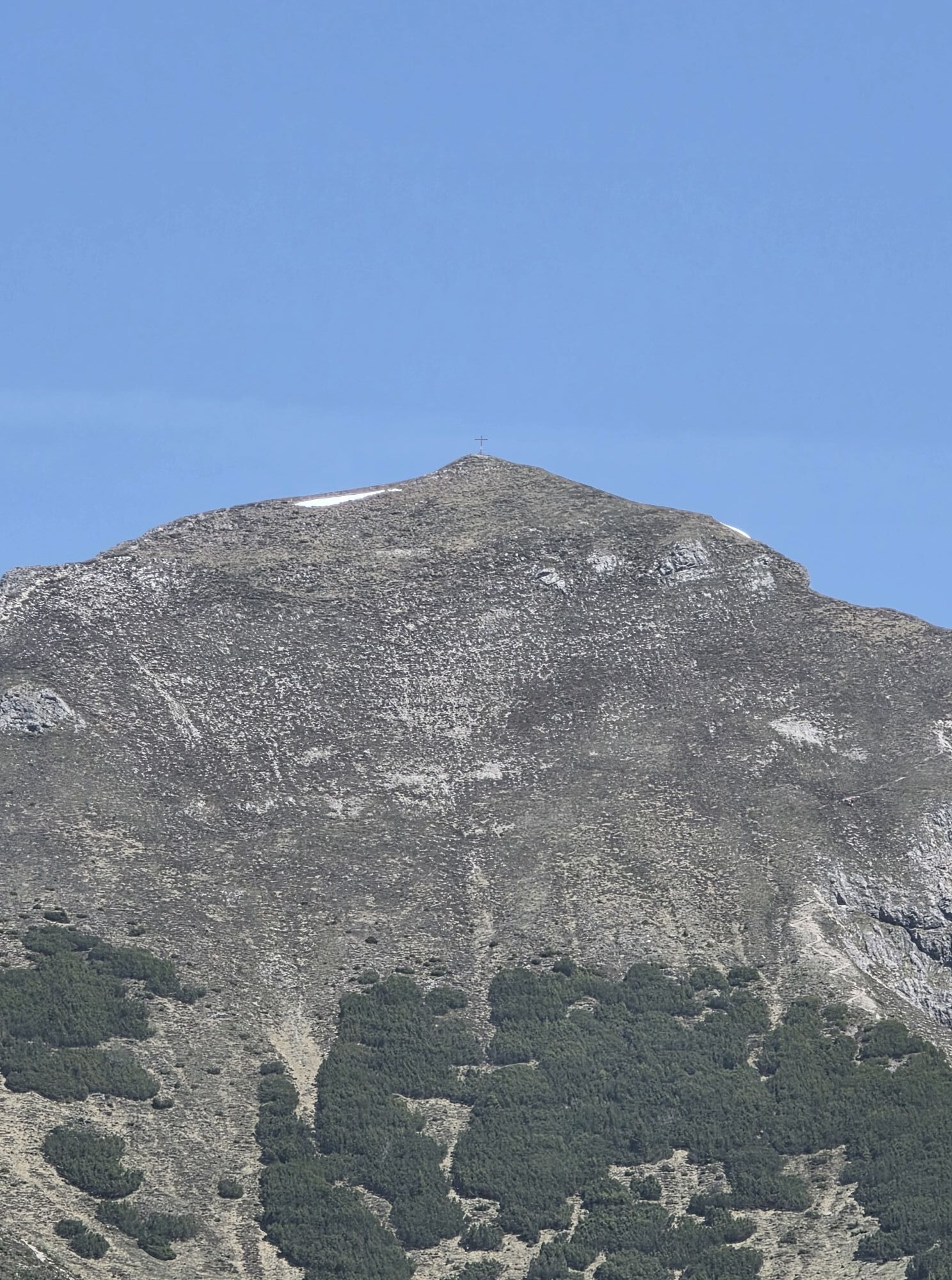
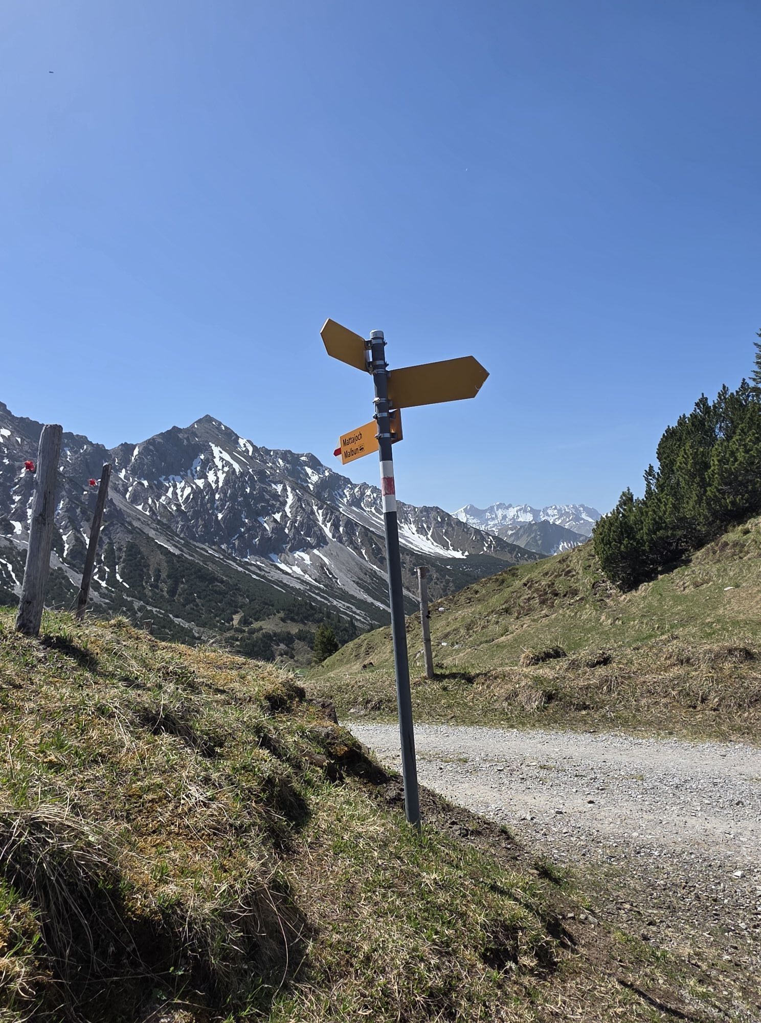
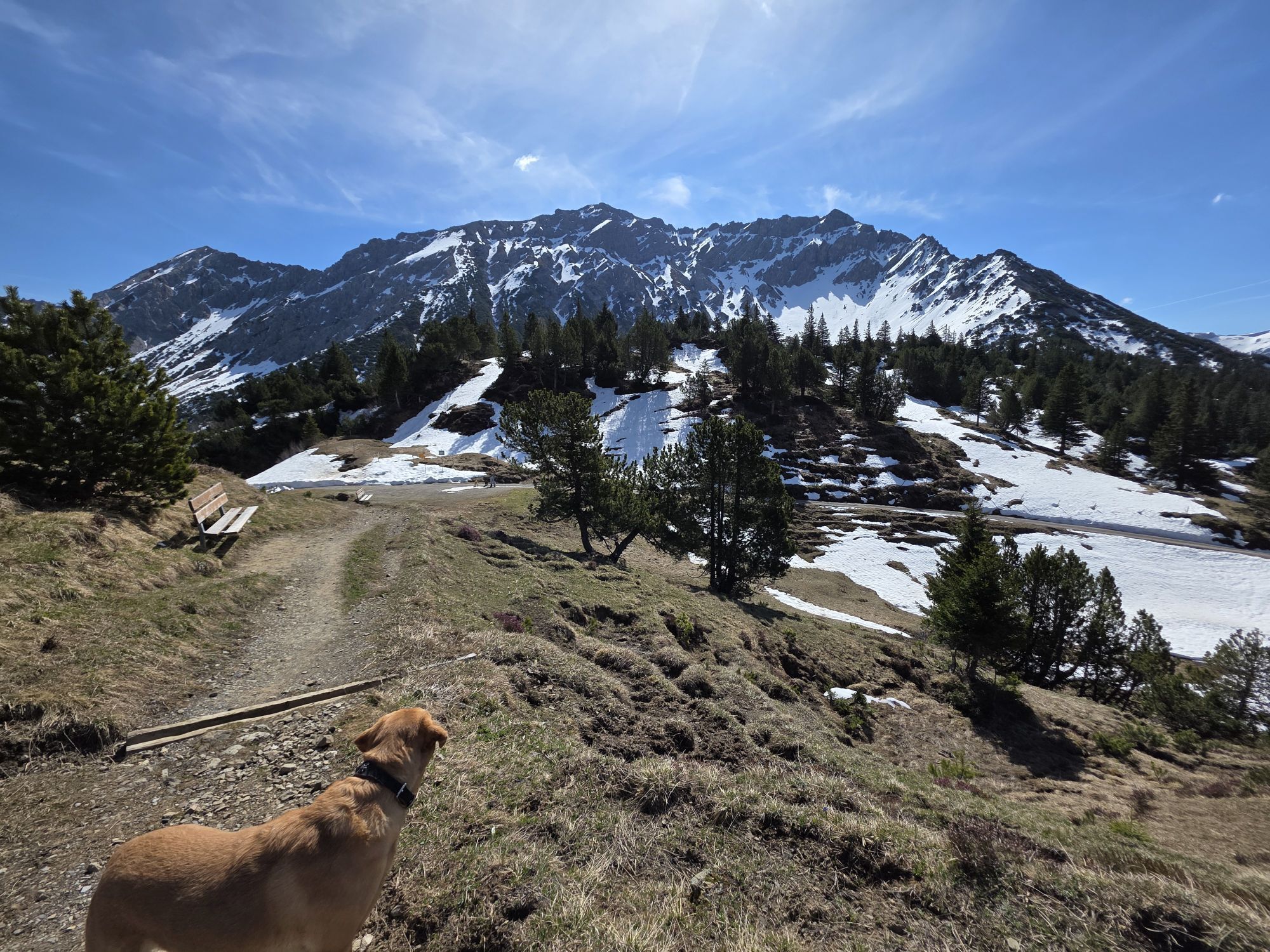
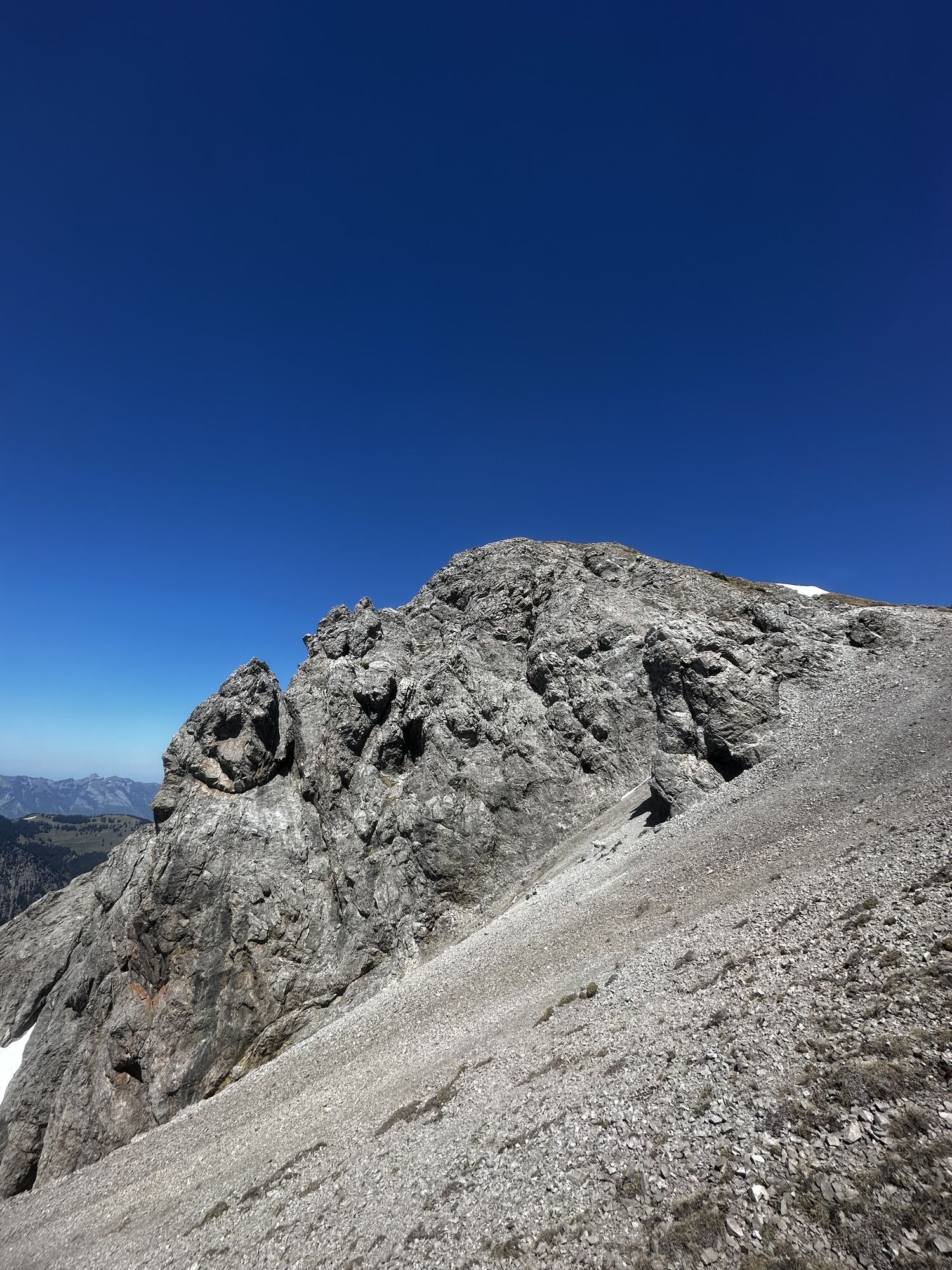
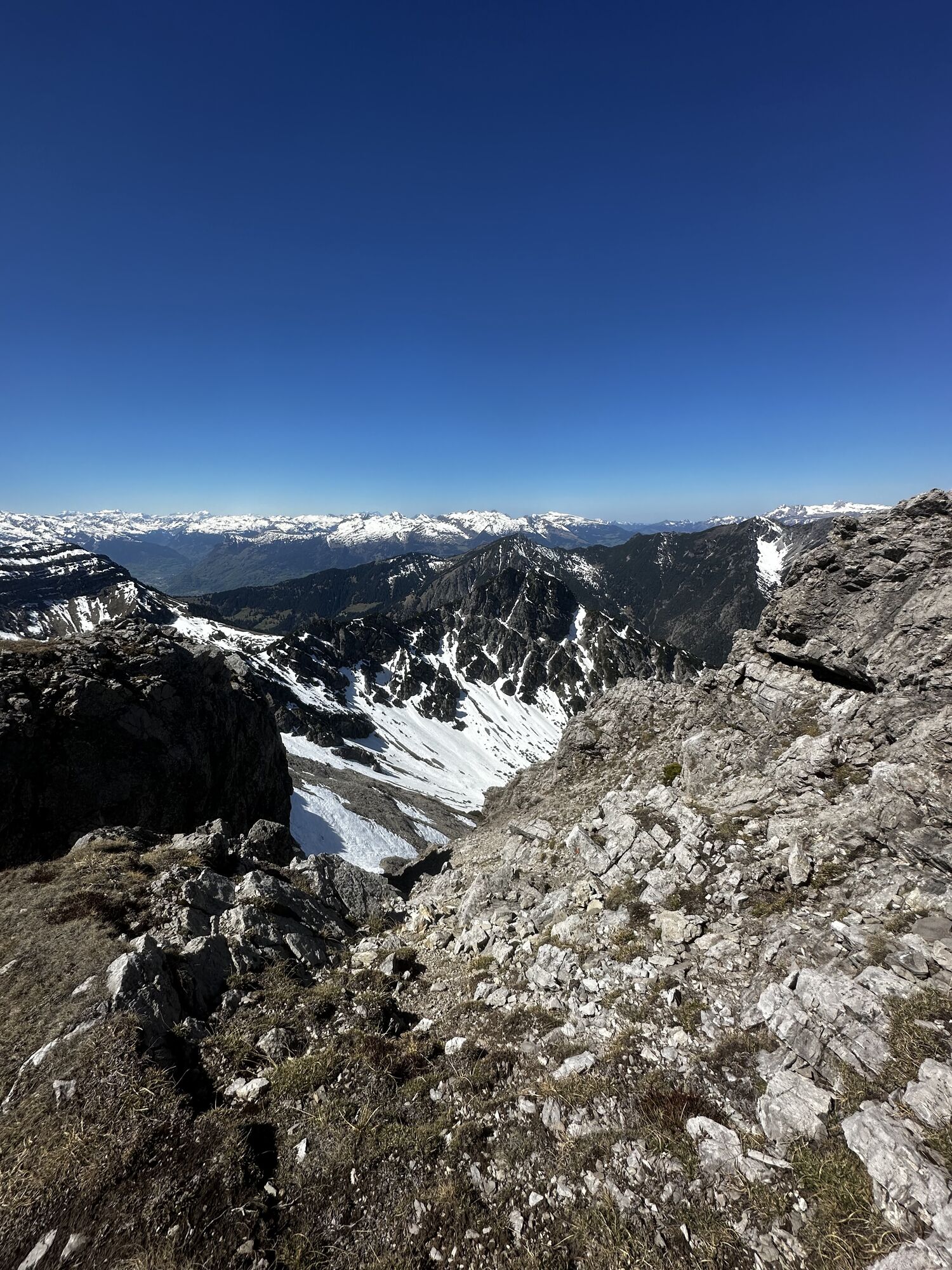
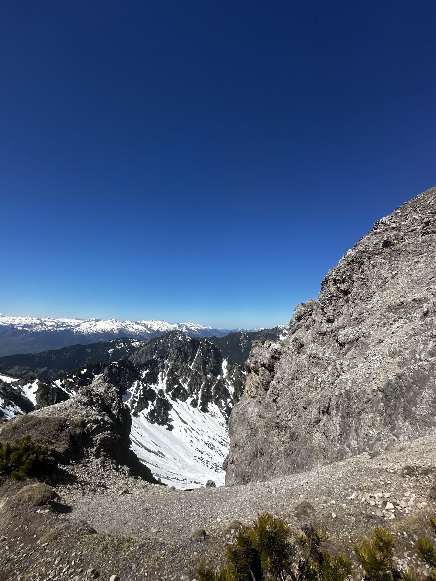
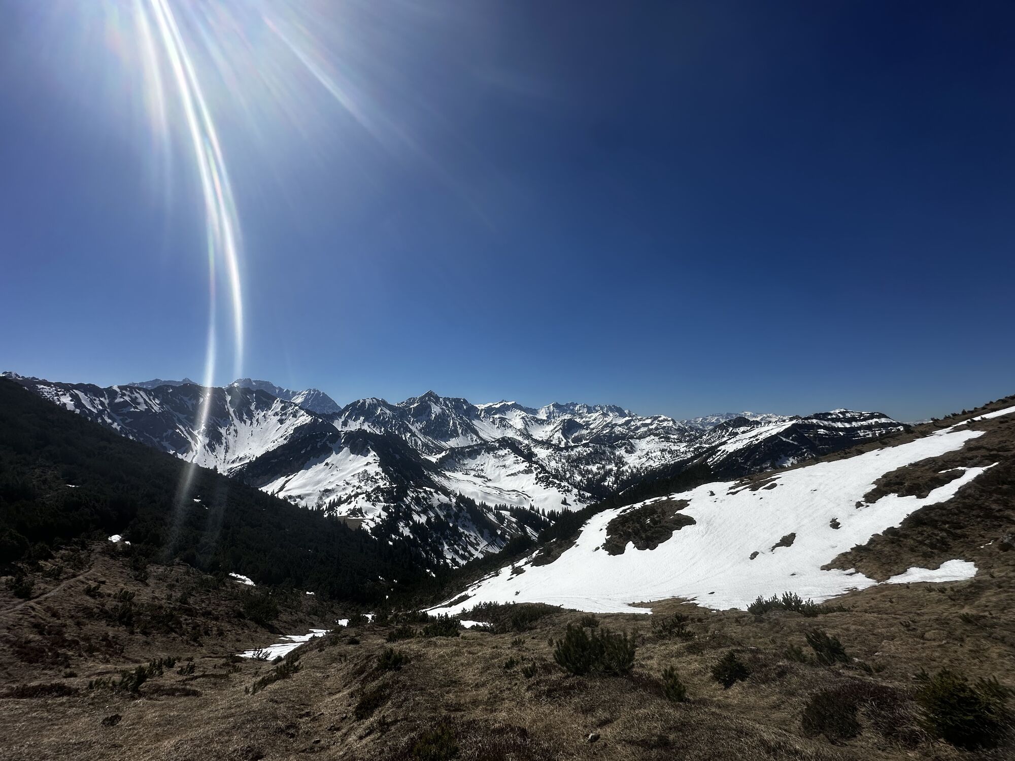
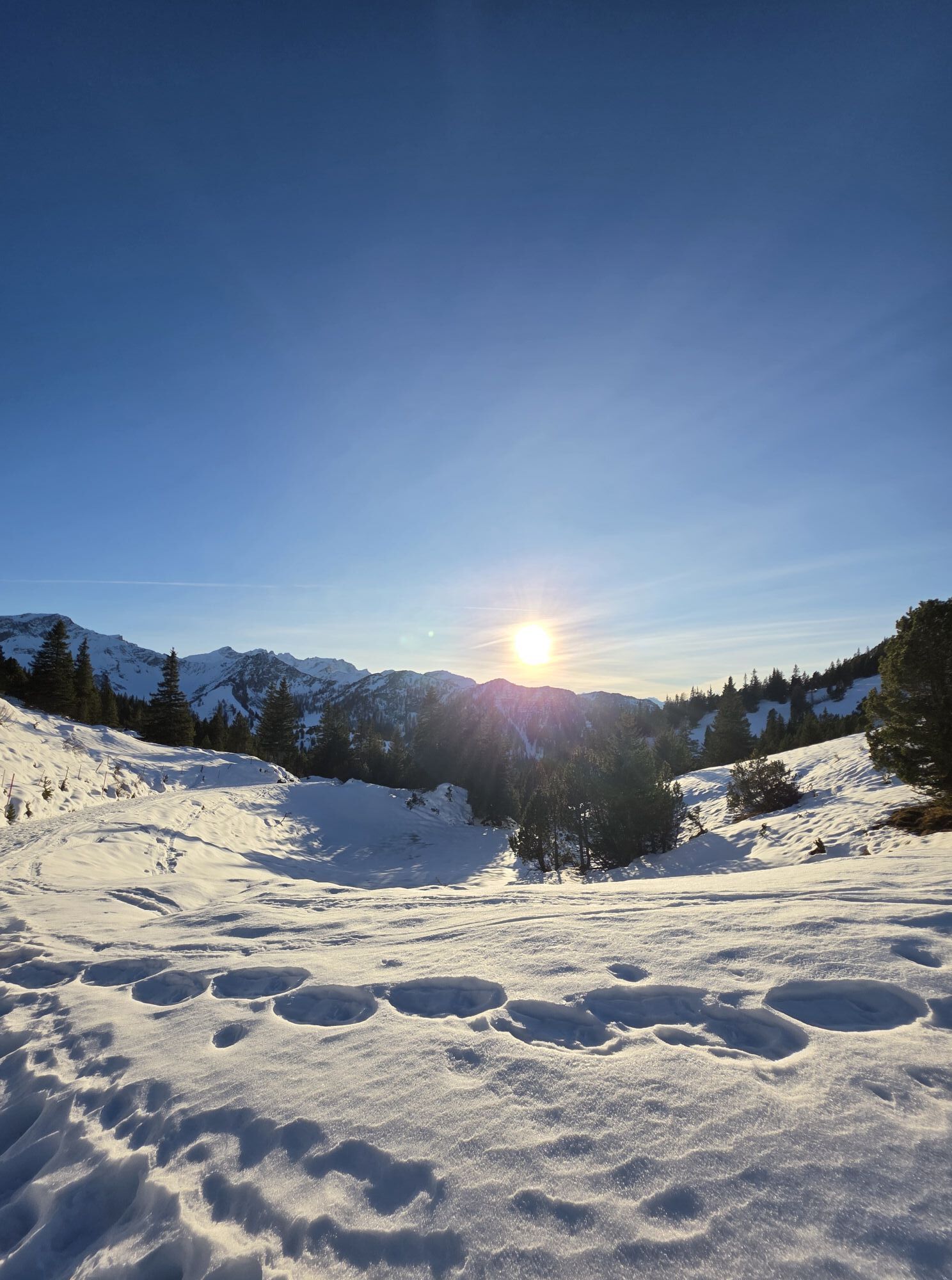
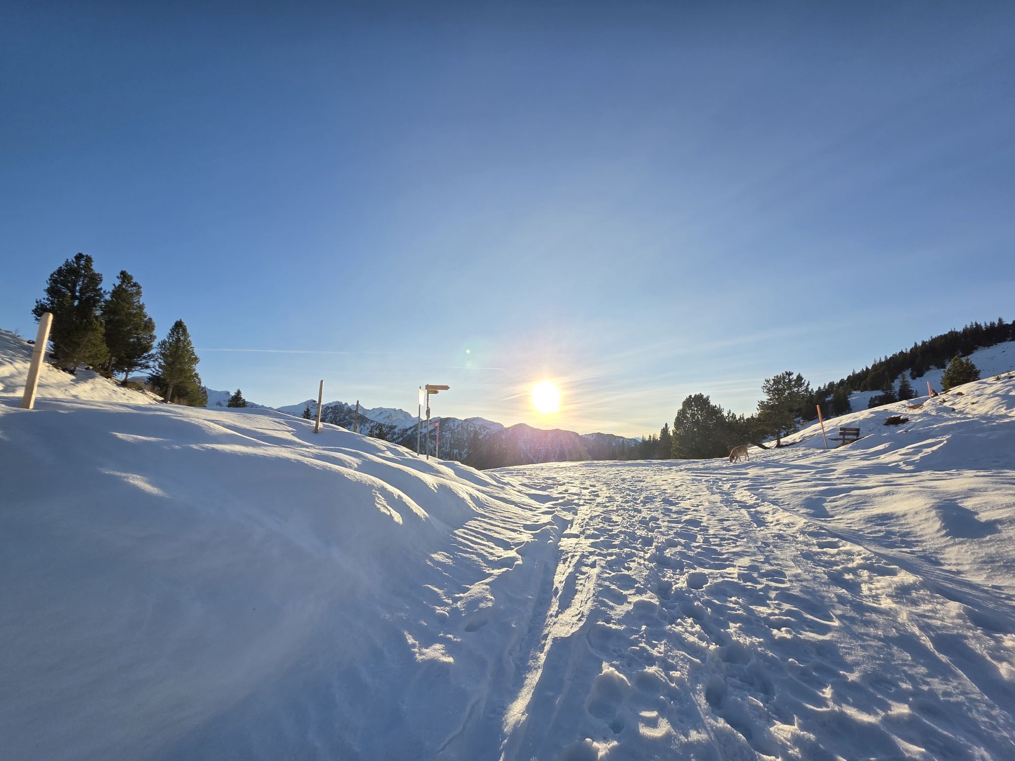
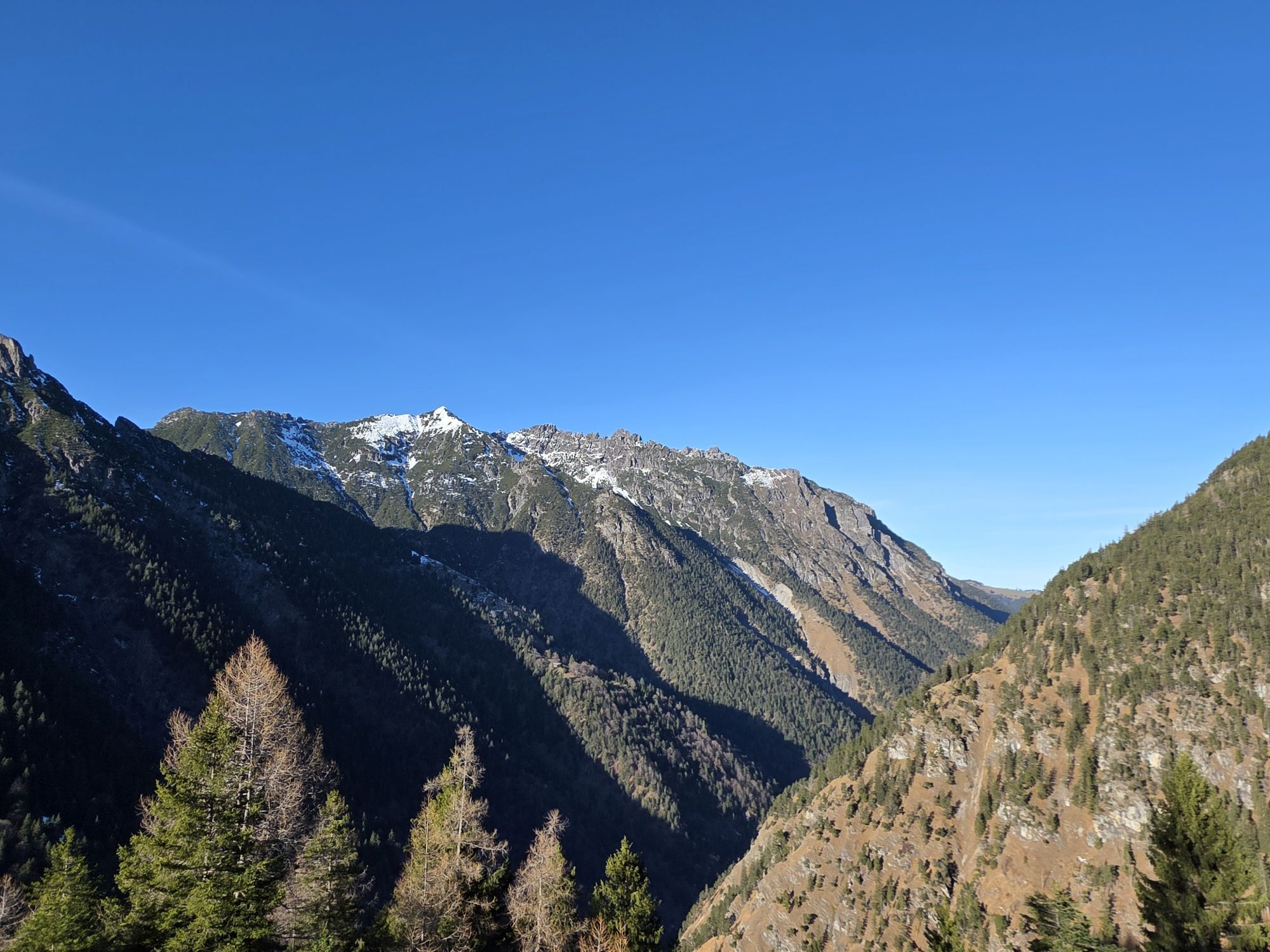
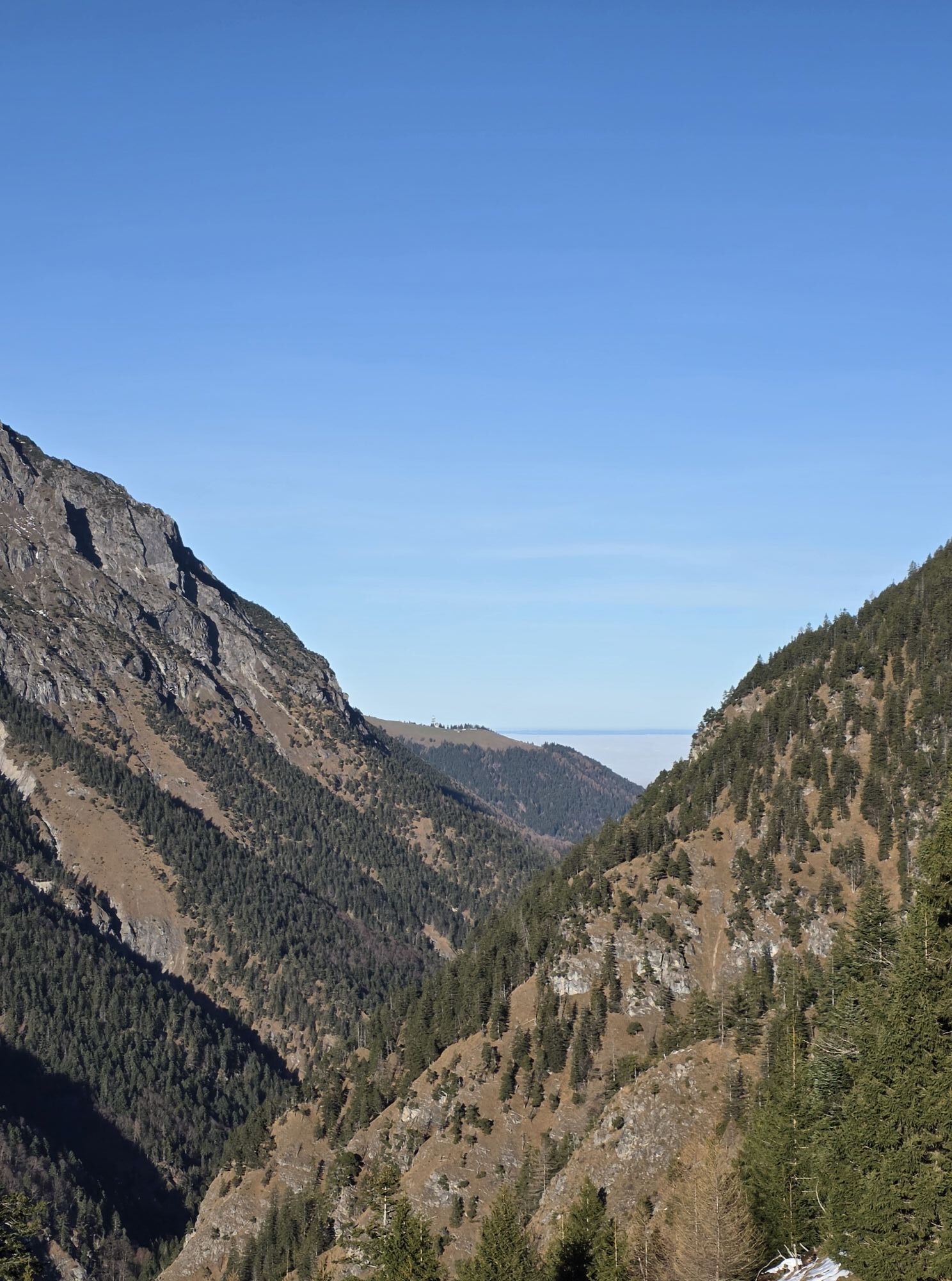
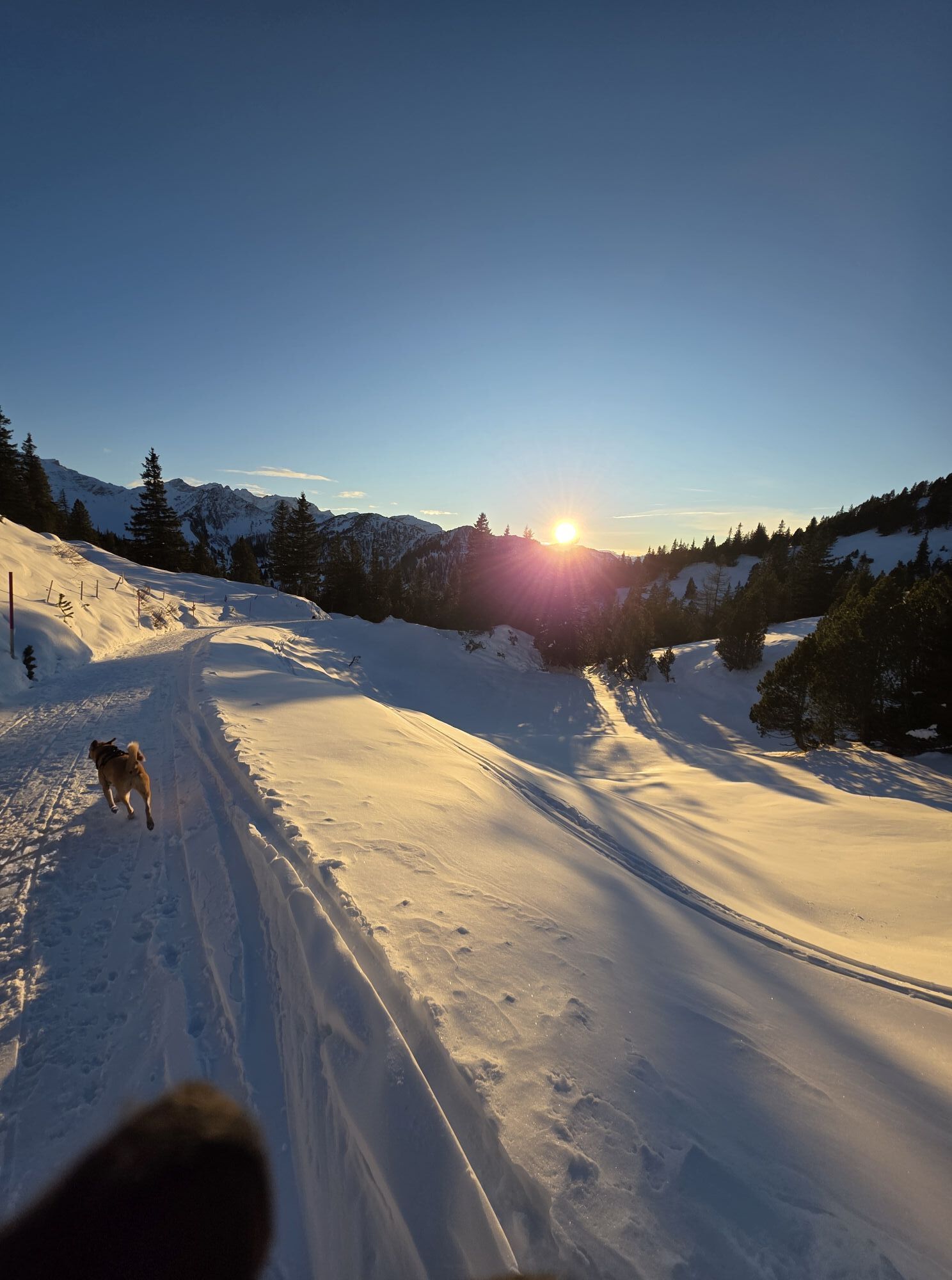
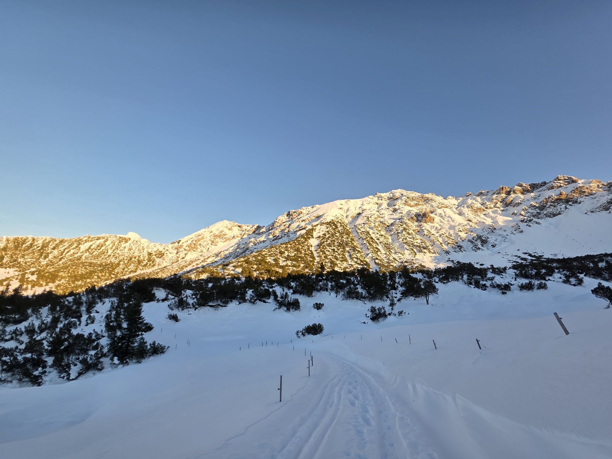
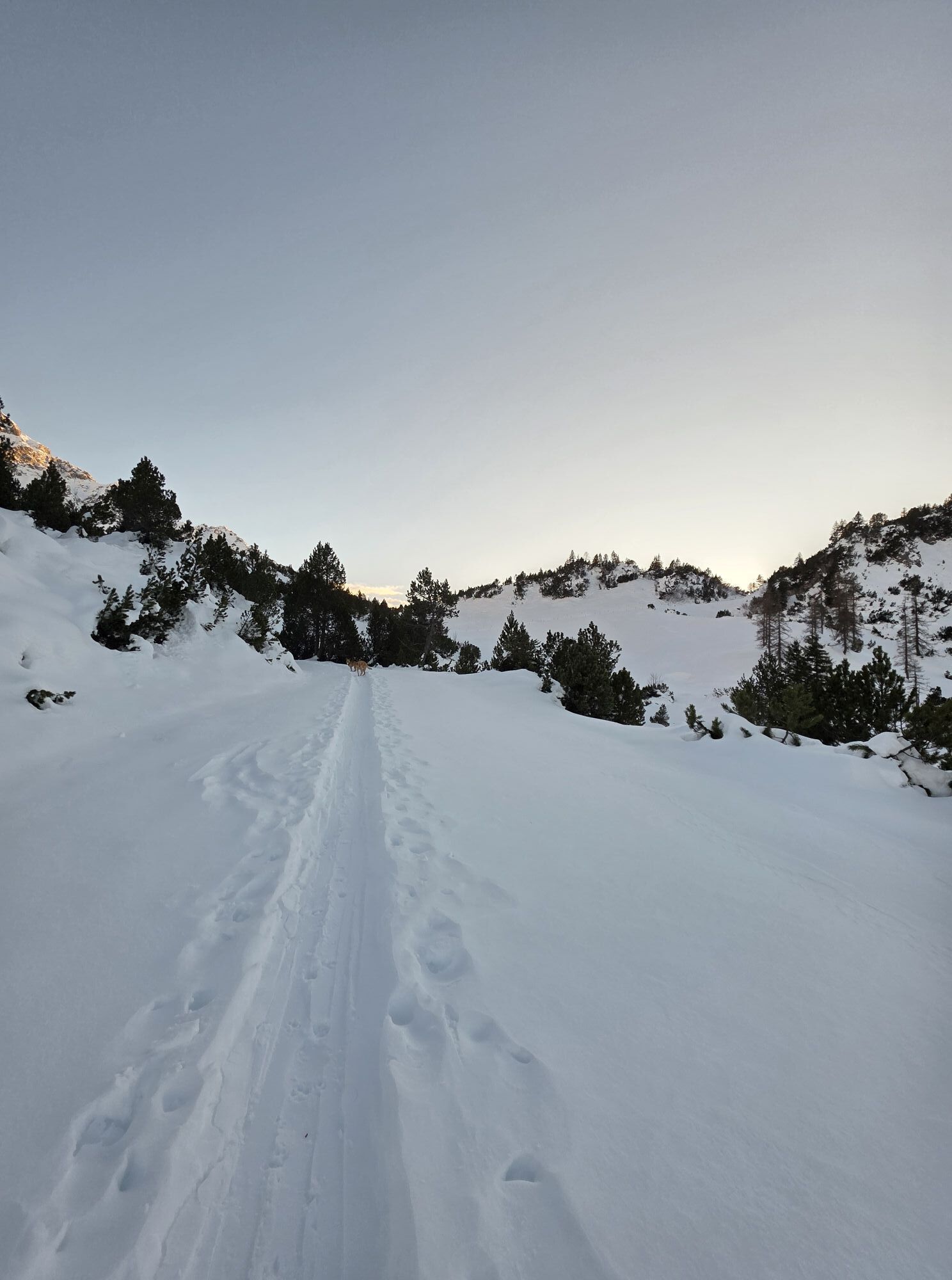
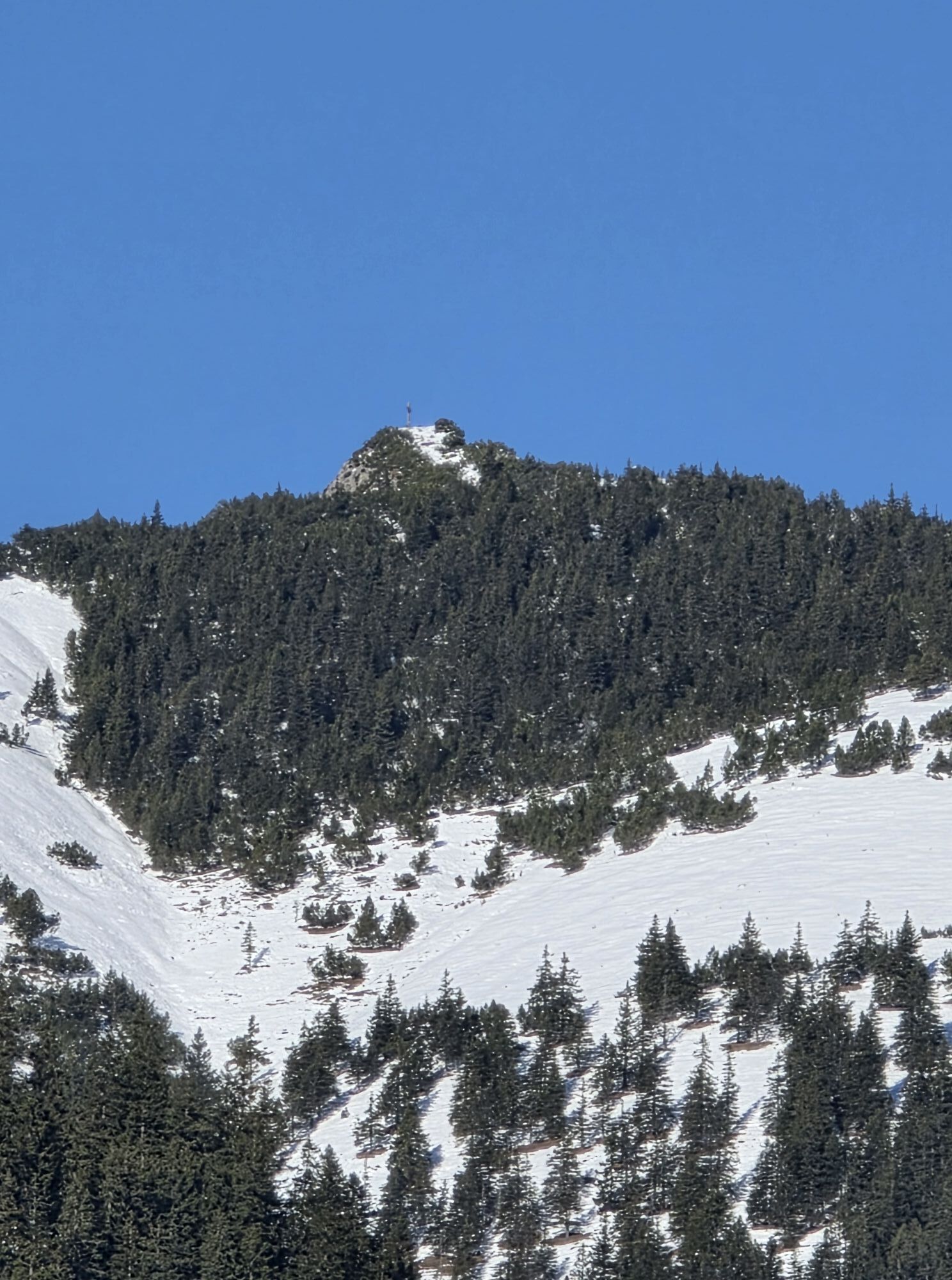
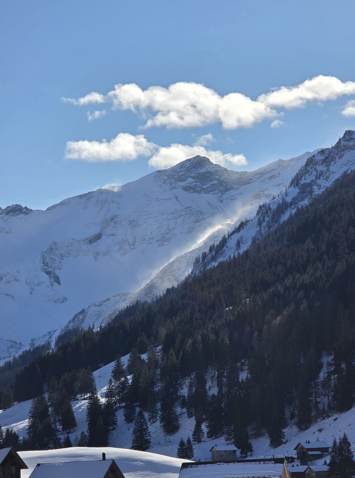
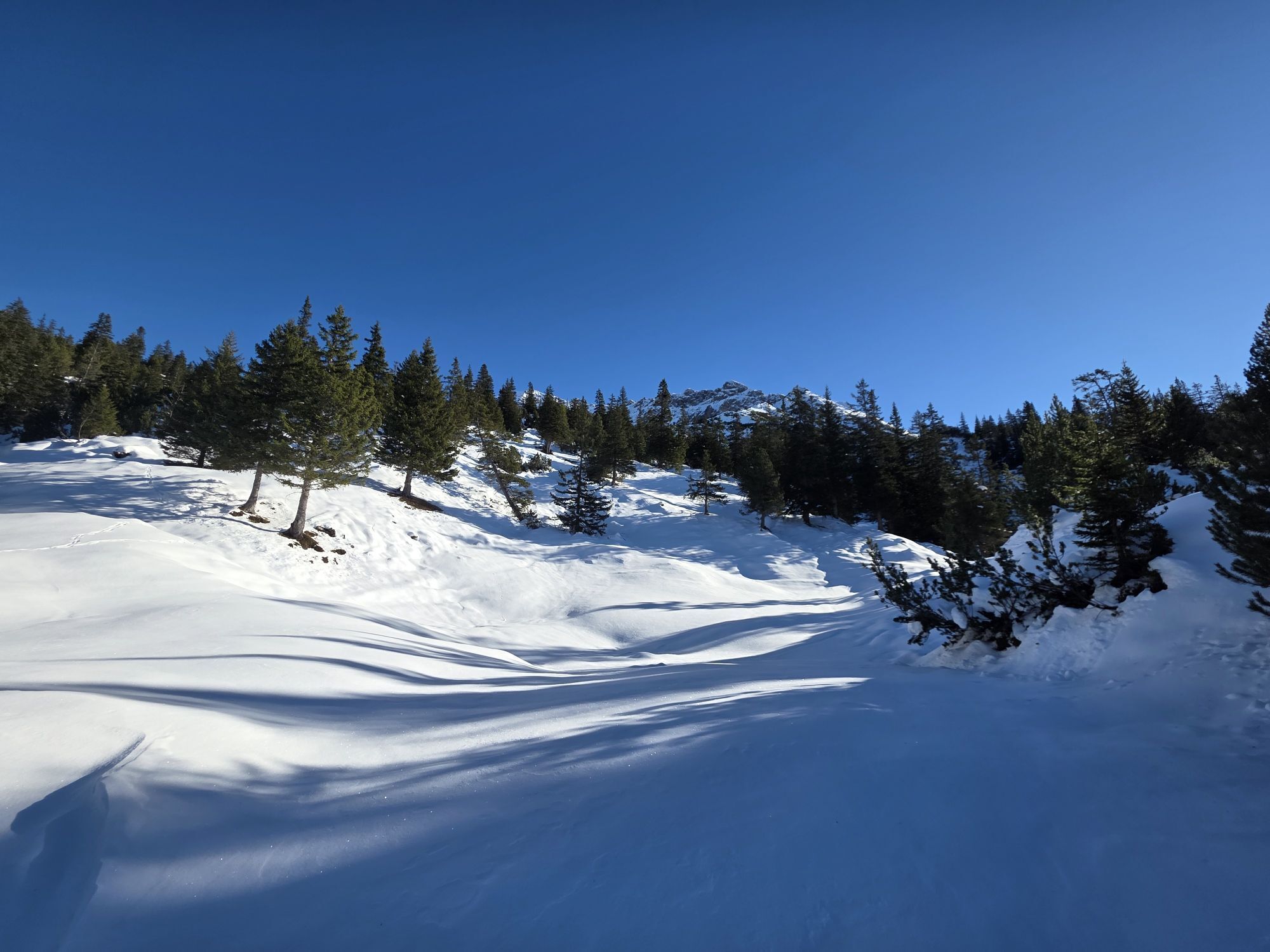
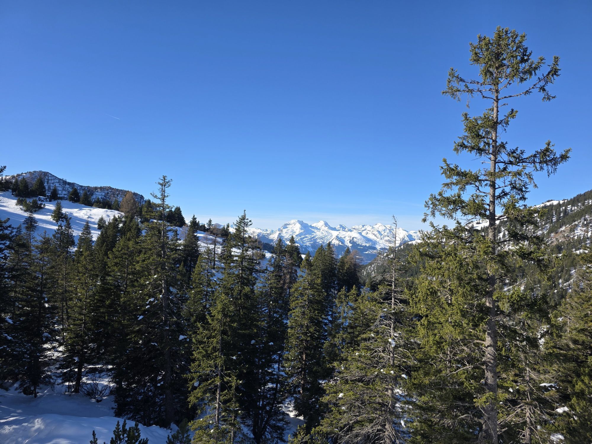
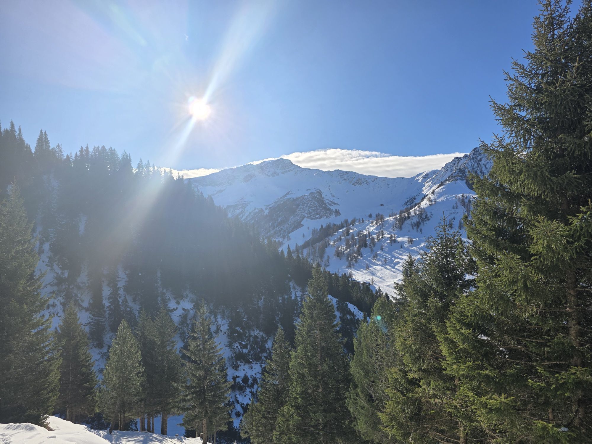
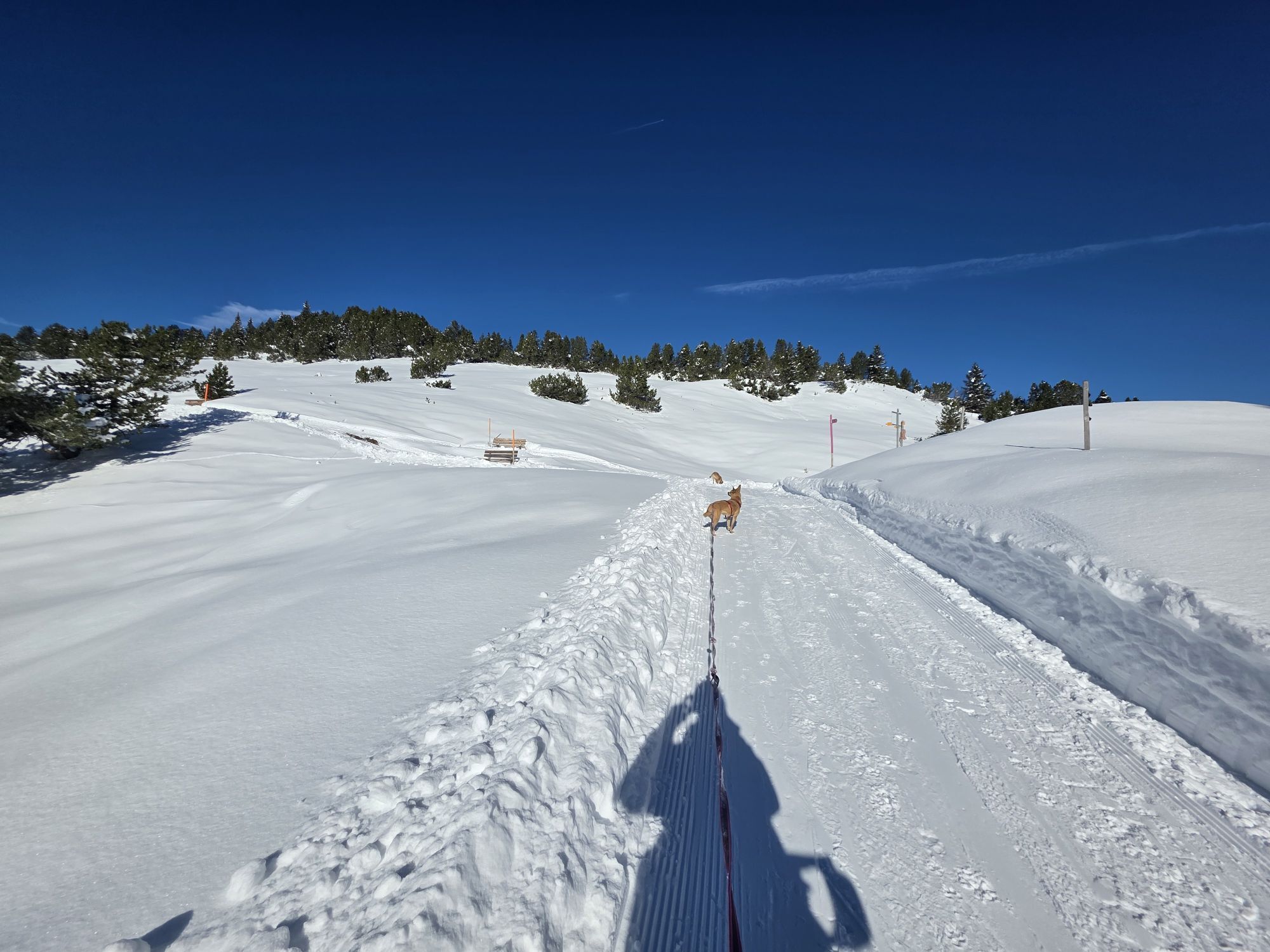
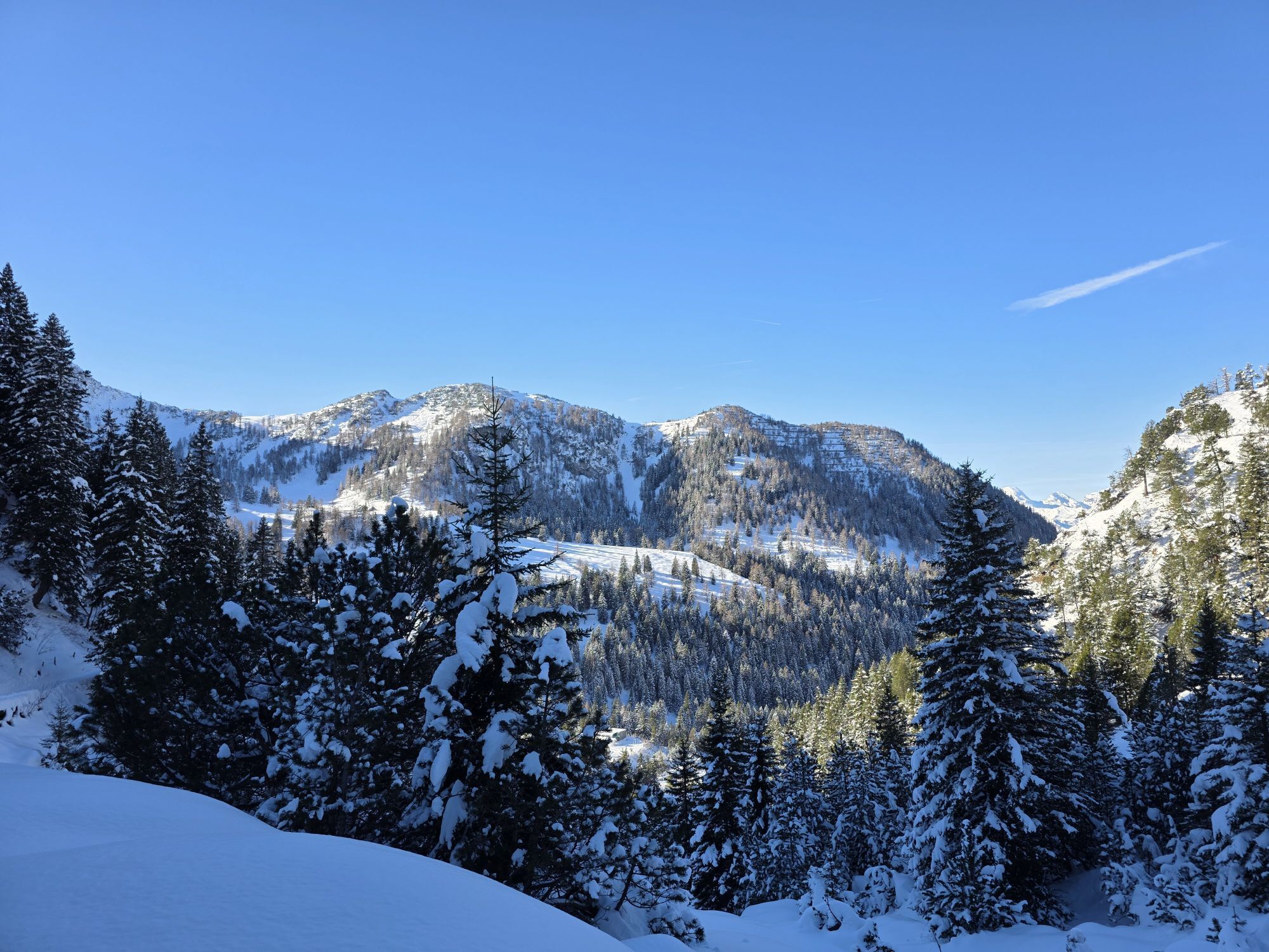
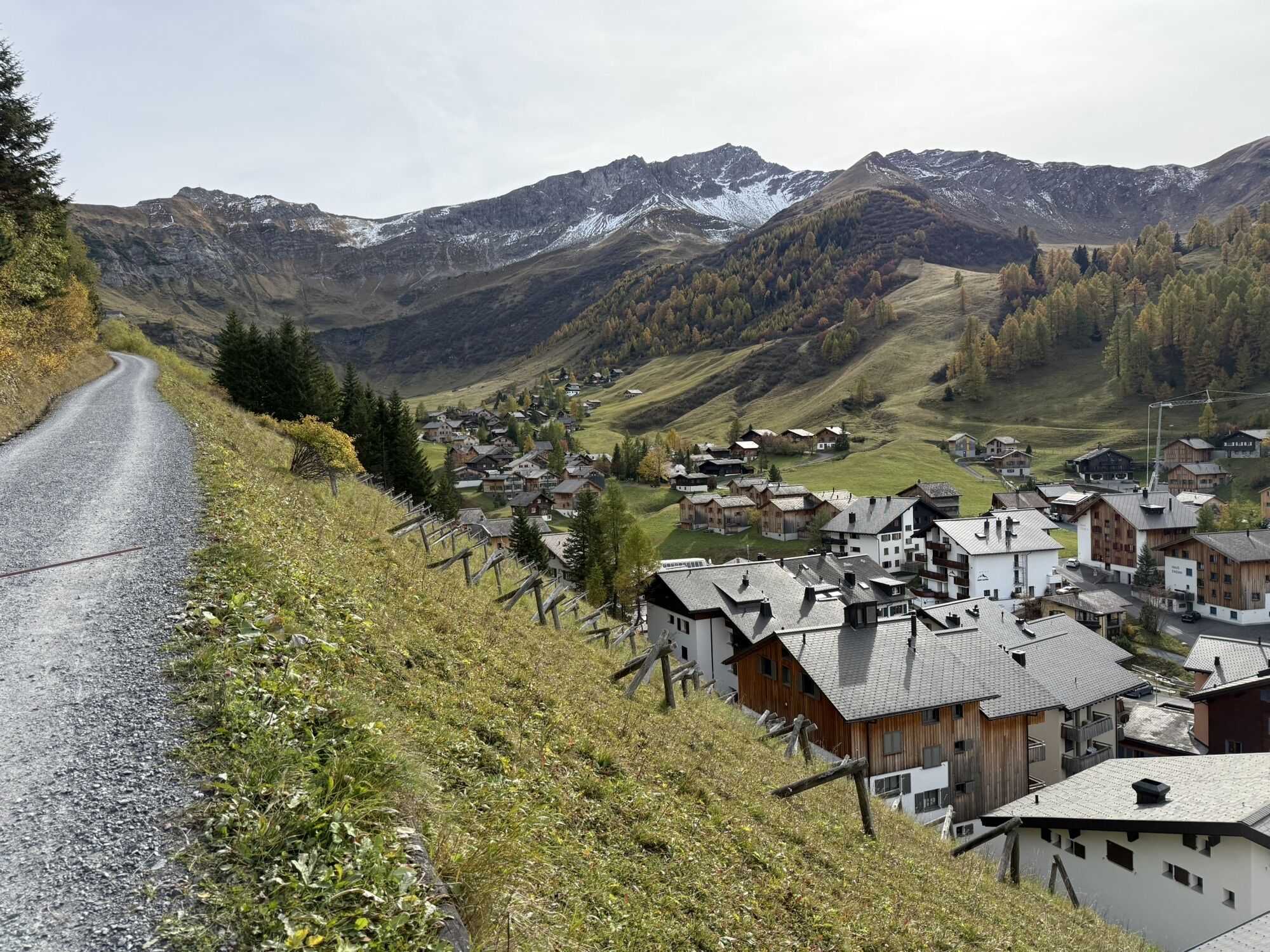
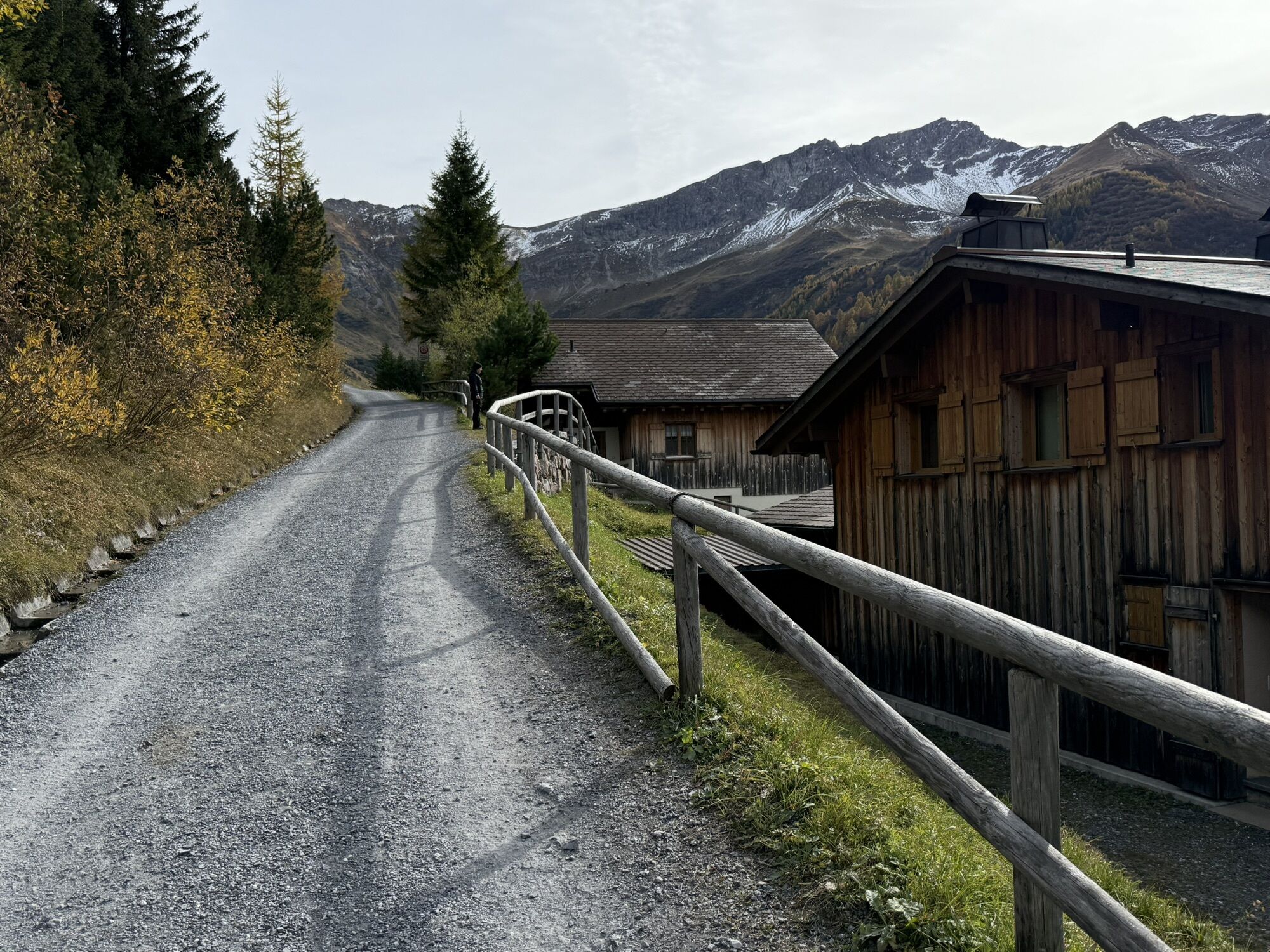
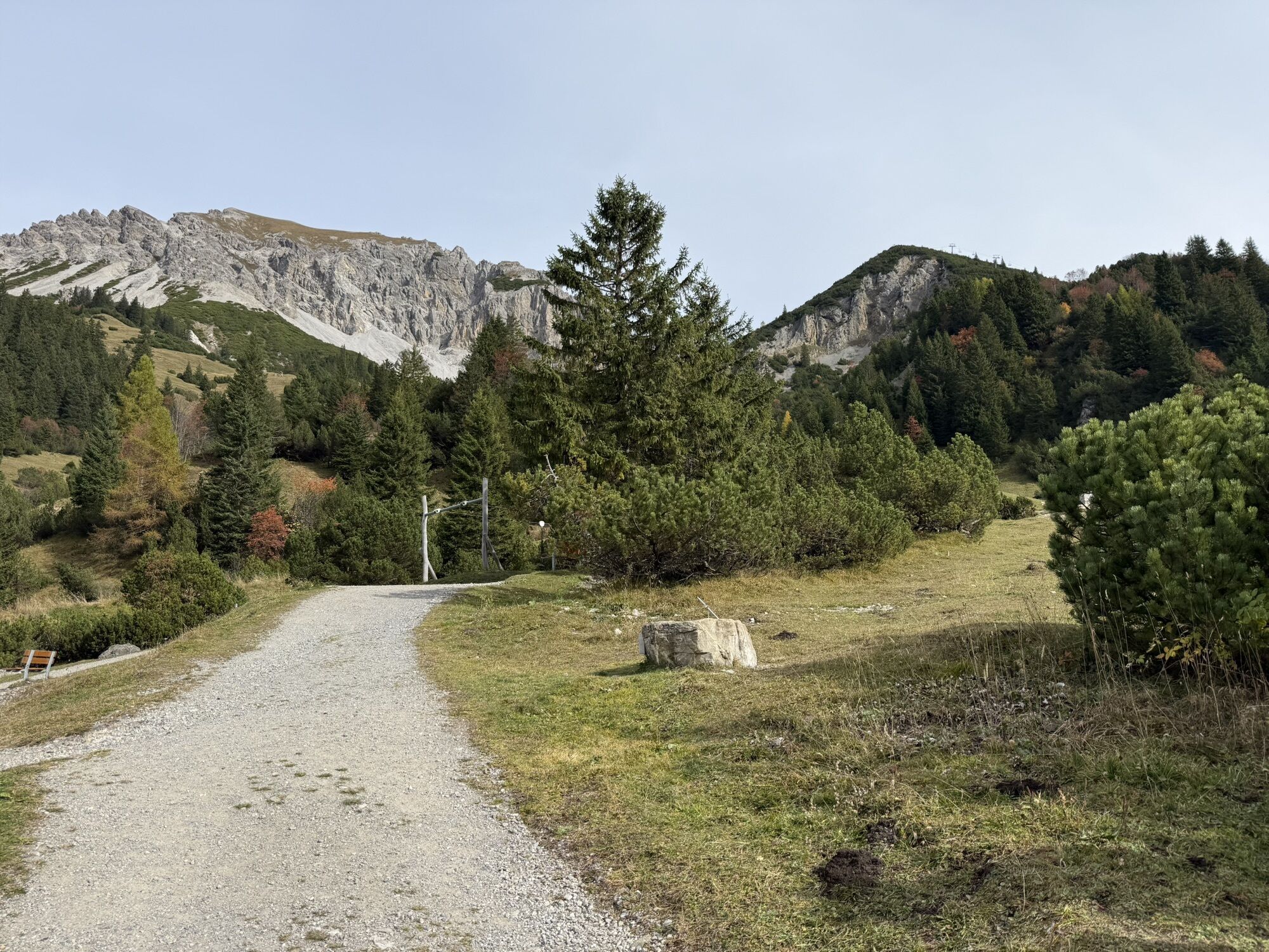
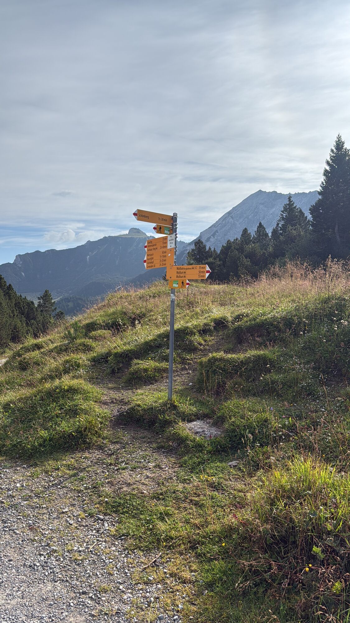
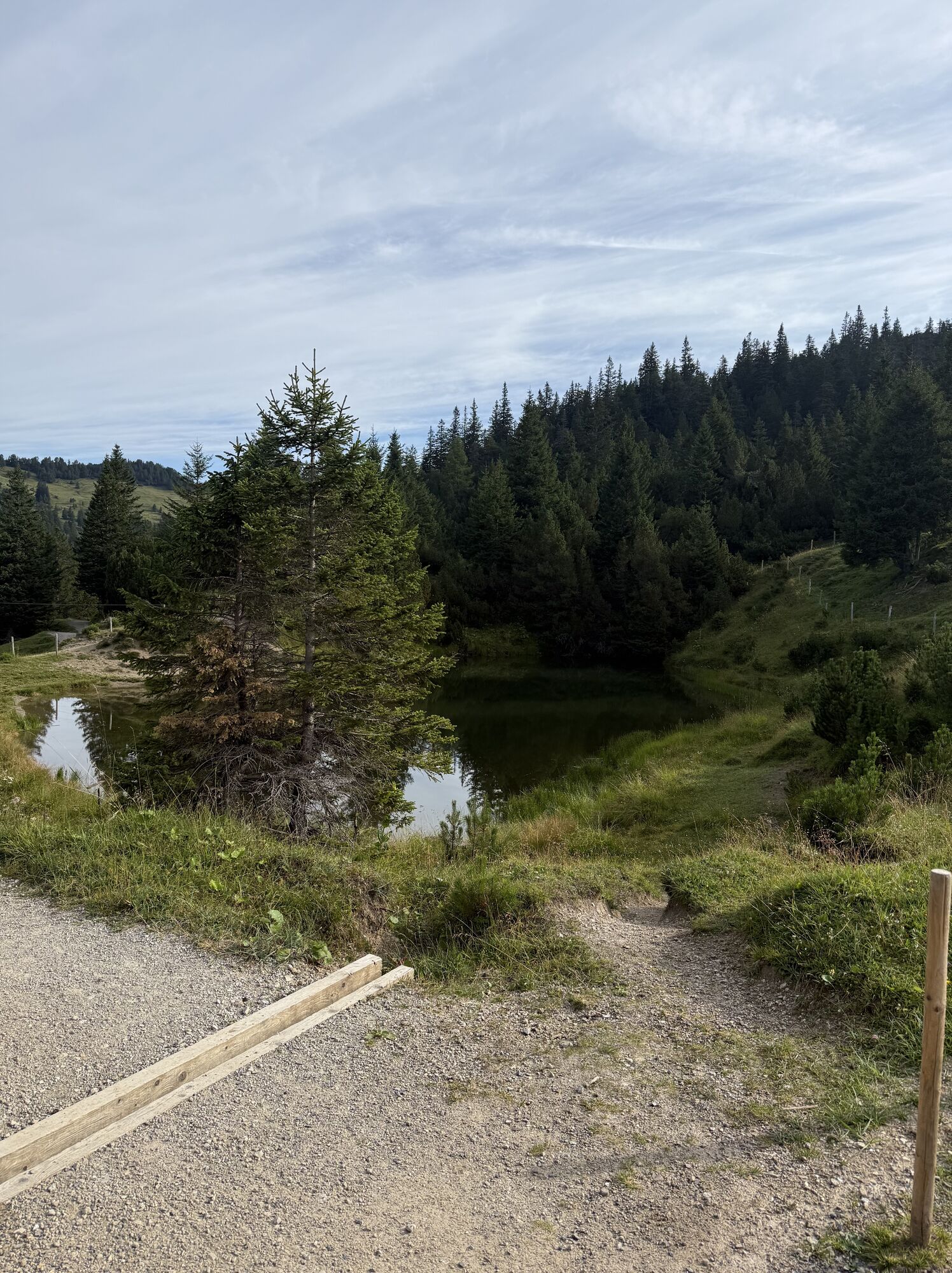
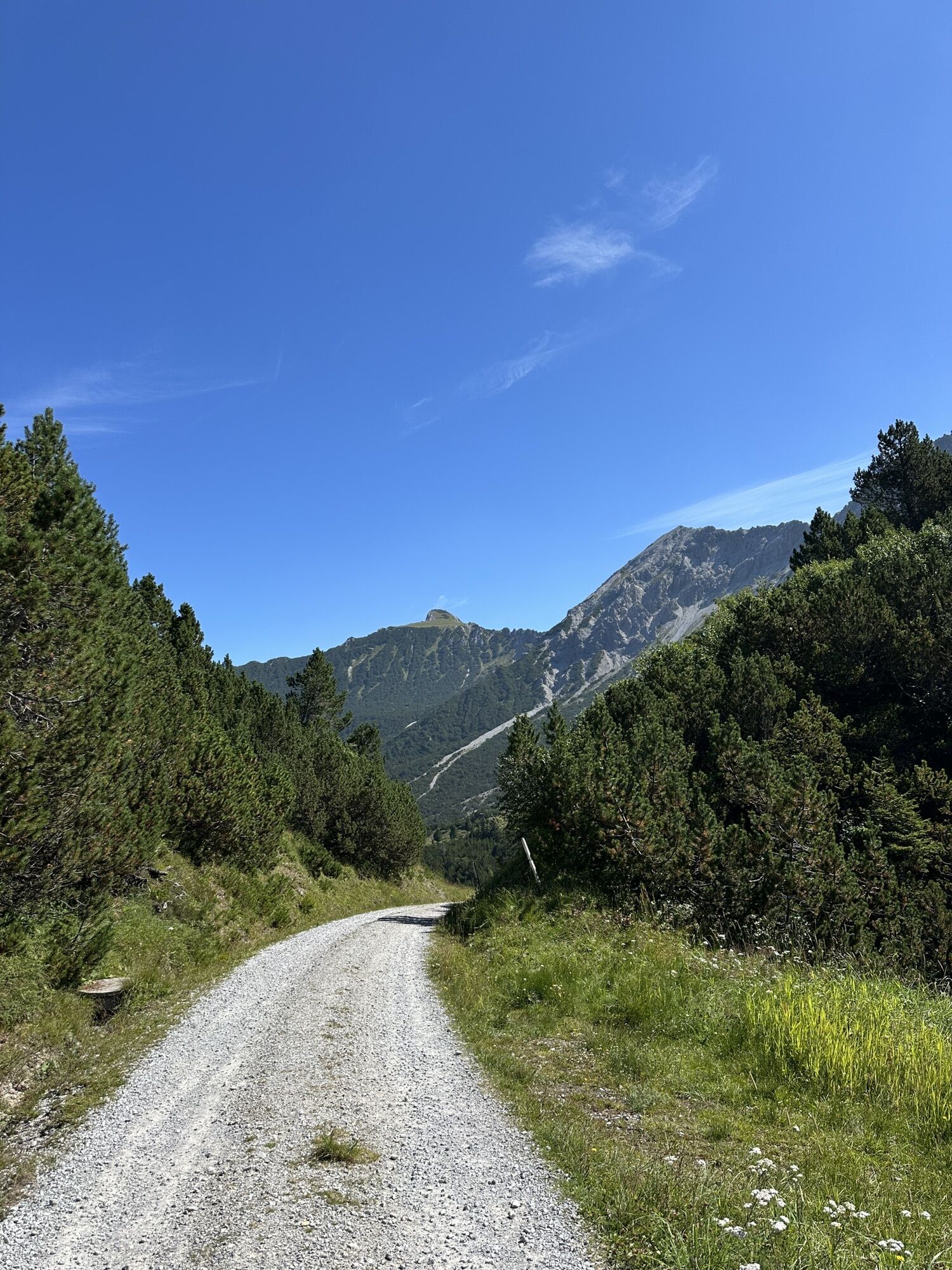
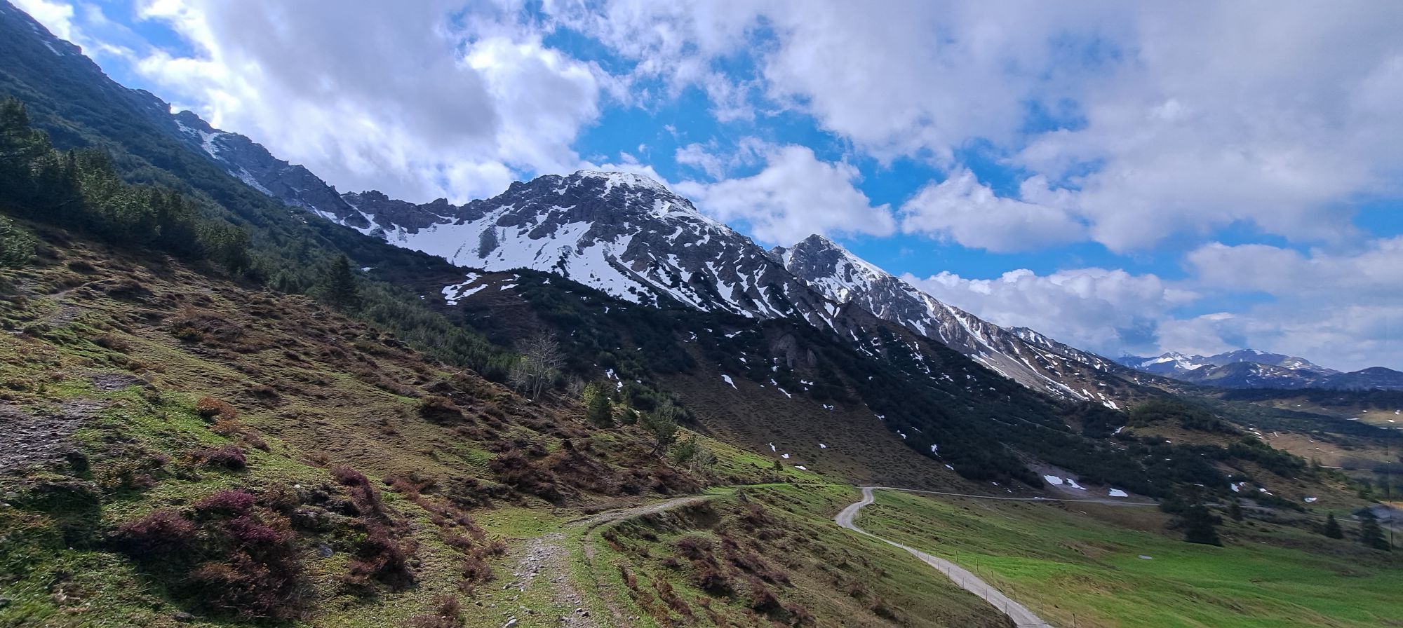
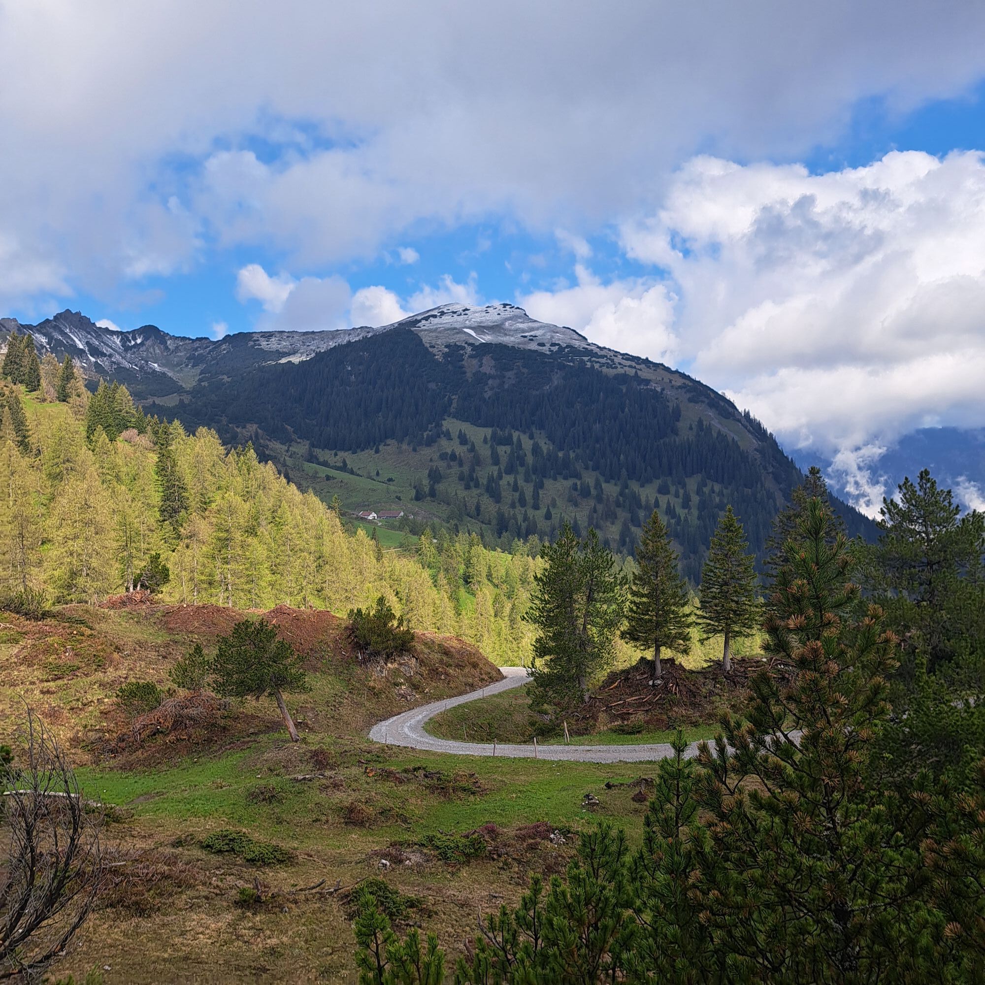
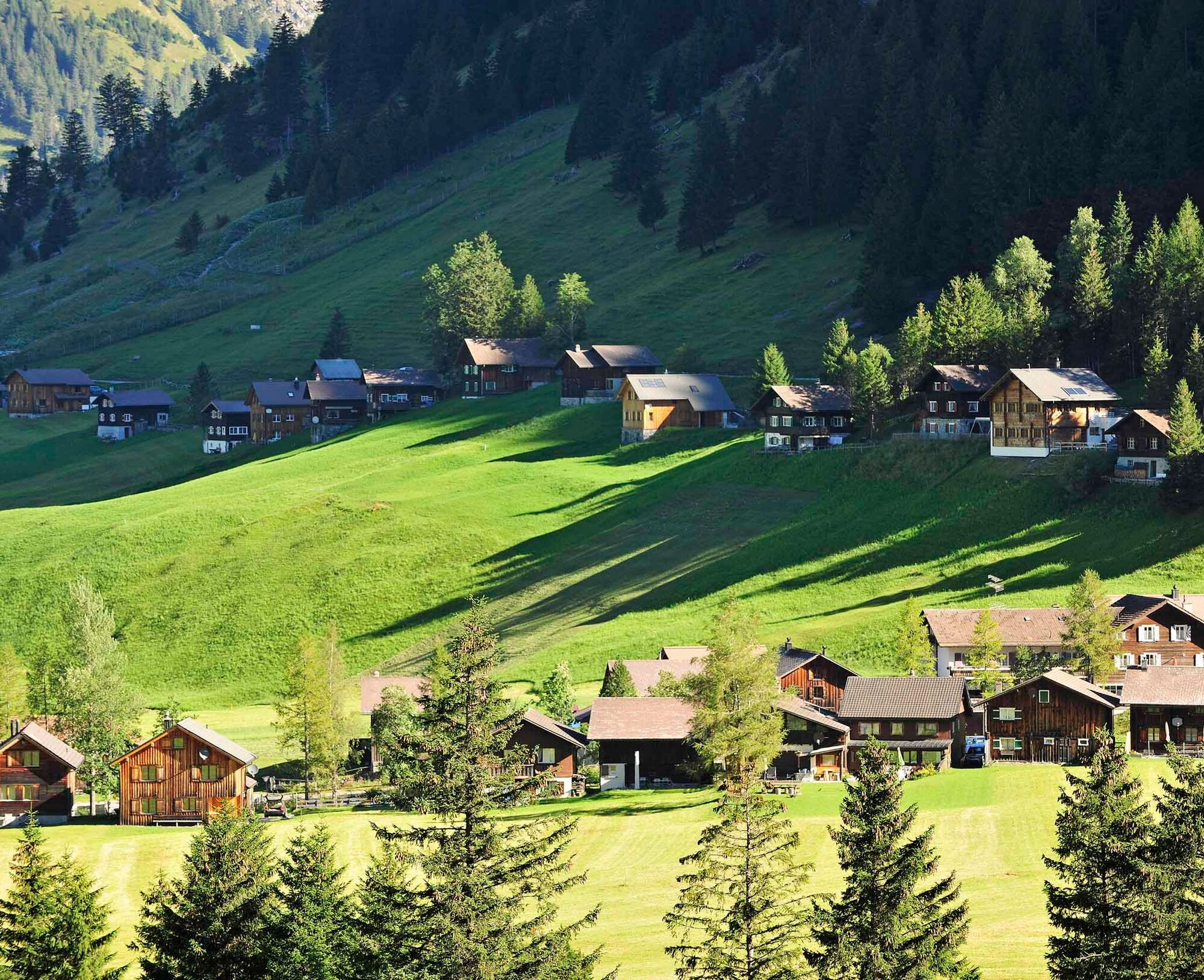
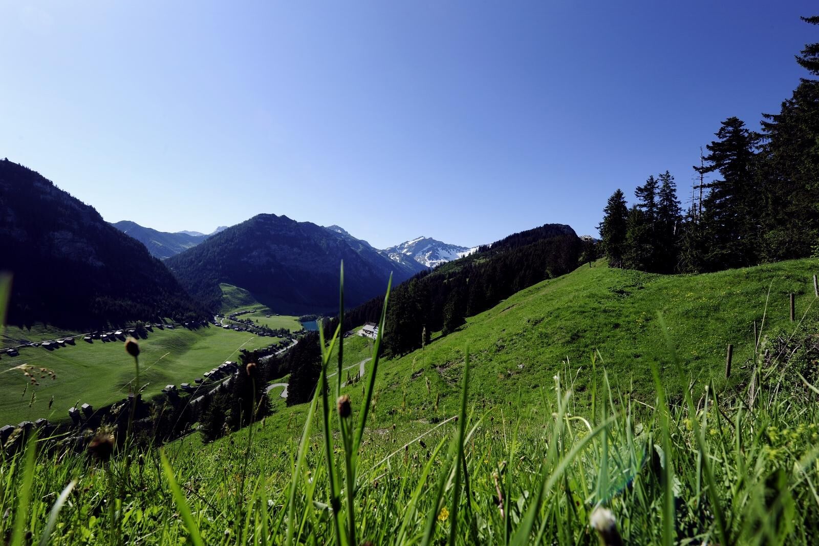
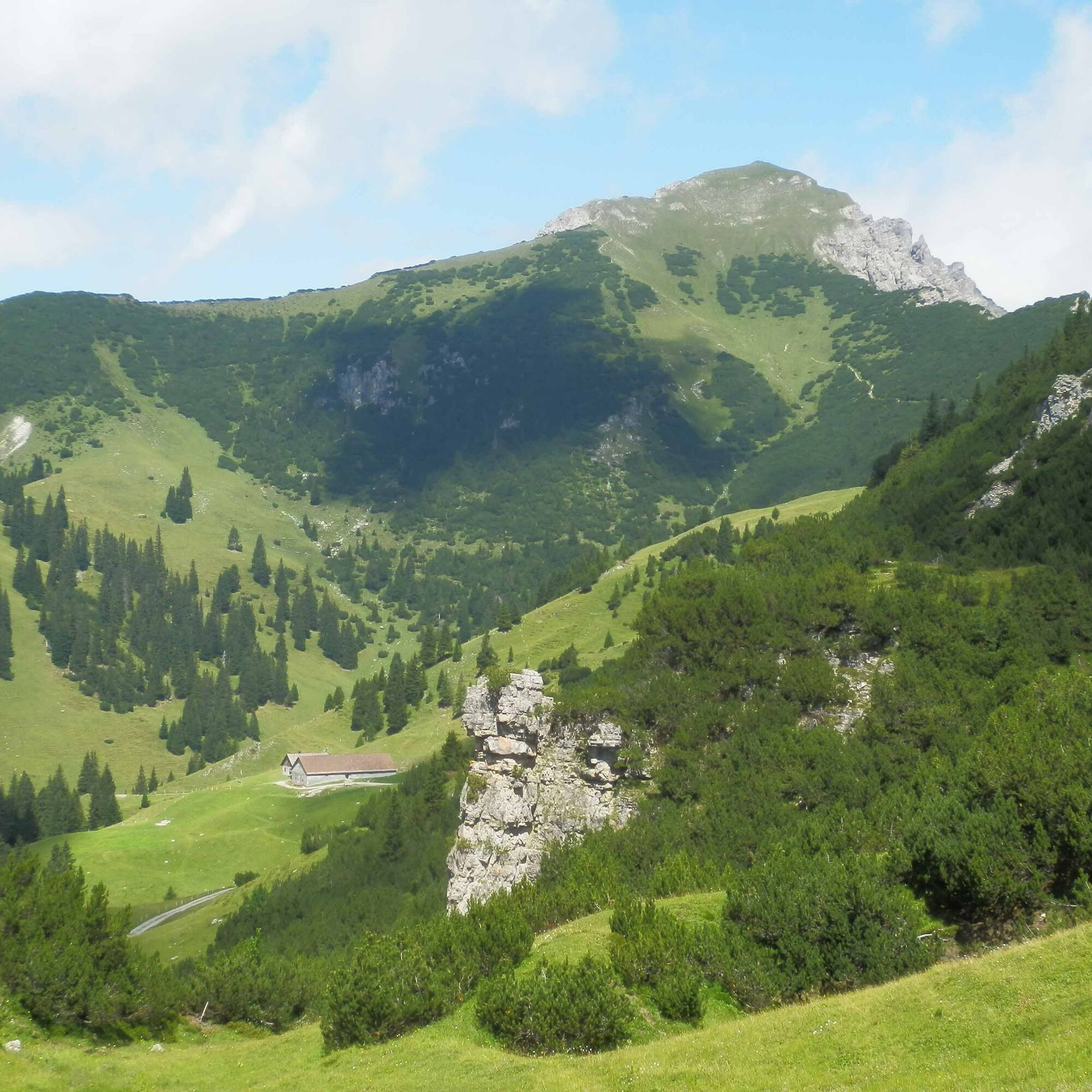
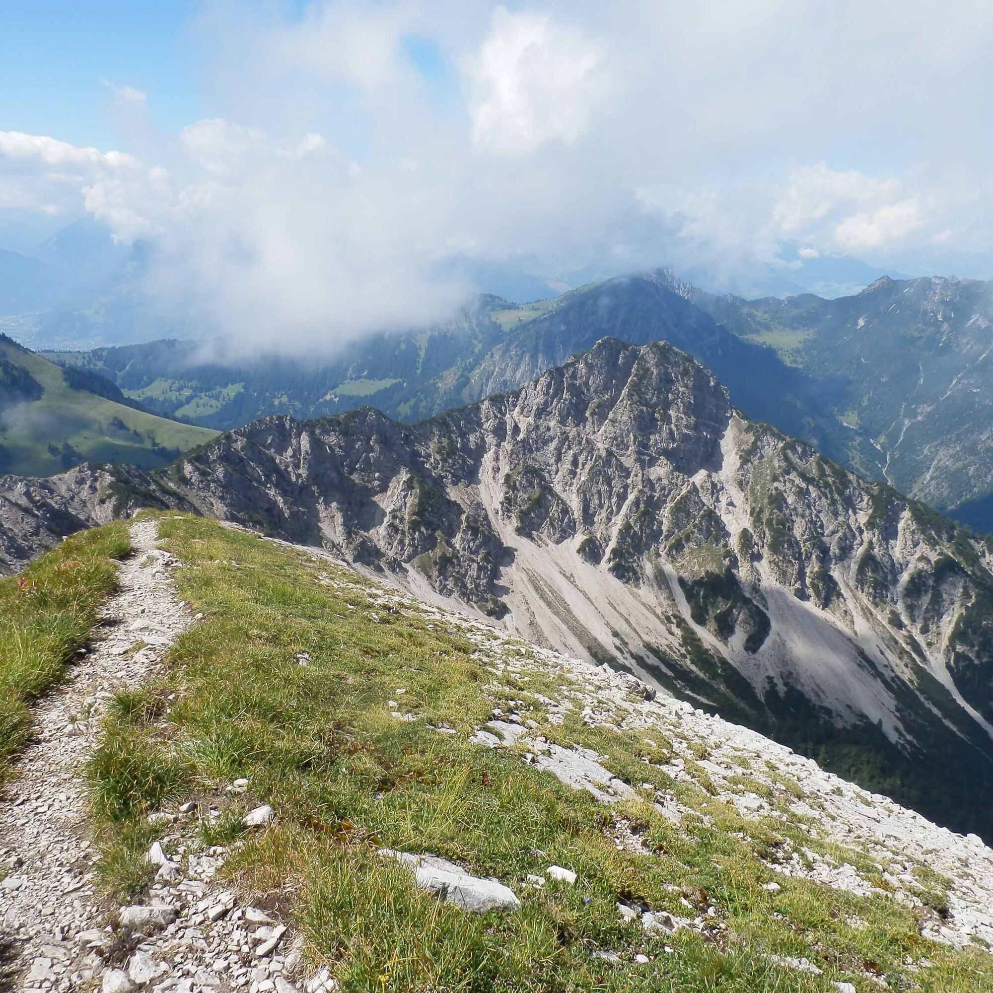
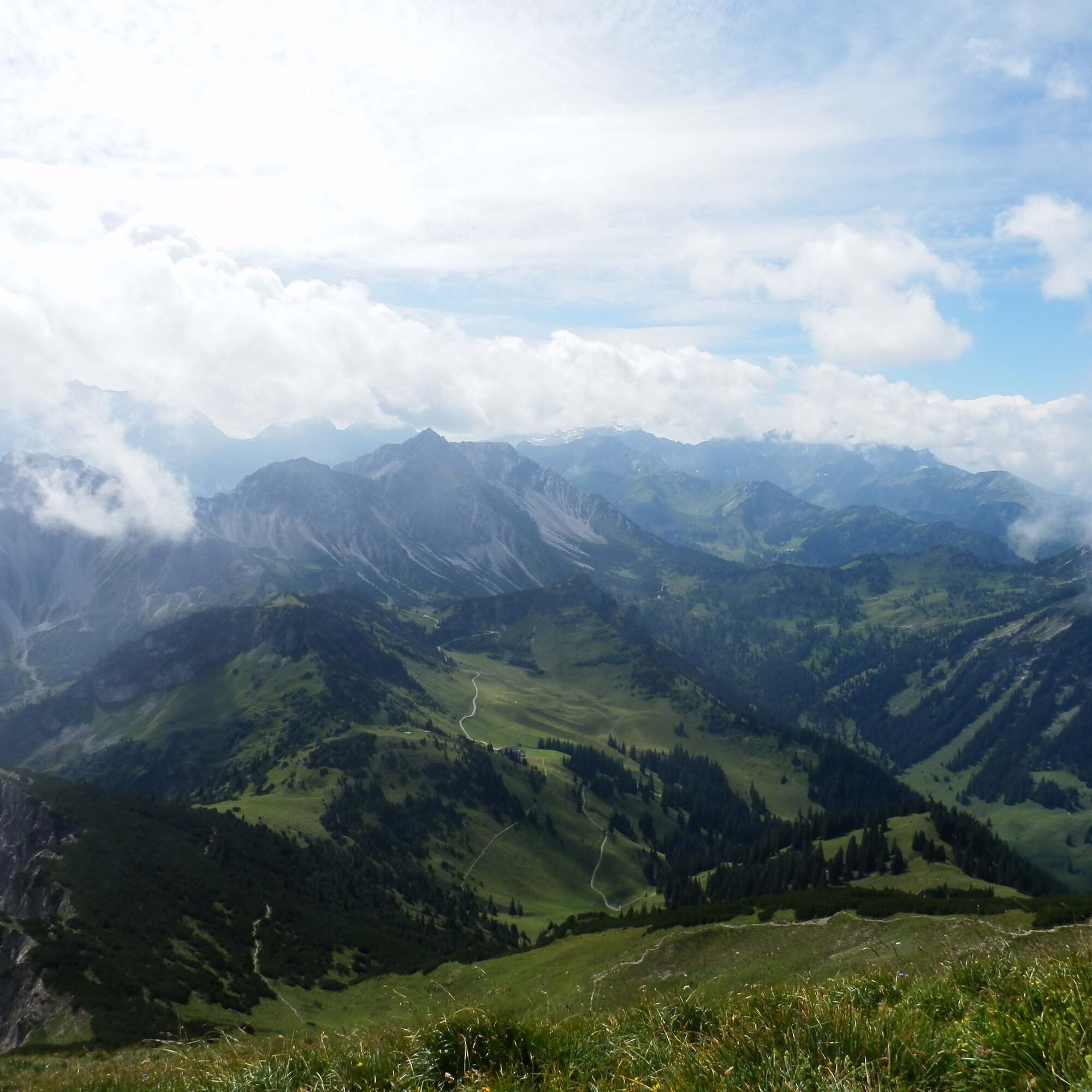
On the way to Galinakopf, we discover magnificent flora. The extensive but varied ascent leads with gentle ups and downs over pleasant mountain and forest roads. The descent to Steg leads through the romantically wild Valorschtal. Below the Peace Chapel in Malbun, signposts indicate our destination. Sassförkle, Mattaförkle, and Guschgfieljoch are the best-known passes before we approach the summit cross on the long-visible steeply ascending pasture edge. Once there, we have a view of countless peaks in the wide surroundings. From the alpine huts of Guschgfiel, we follow the marked path on the descent through a sparse mountain forest into Valorschtal and circle the Schönberg on its shady north slope.
Variant:
Shortly after Sassförkle, it is possible to shorten the route via Güschgle and Hinter Valorsch (reducing the ascent by 658 meters).

Malbun - Sassförkle - Mattaförkle - Guschgfieljoch - Galinakopf - Mattaförkle - Rietle - Valorschtal - Steg
Tak
To undertake a route, careful planning is required. We recommend that you first check with local information points about the trails and weather conditions. Depending on the season and weather conditions, this route may be closed or interrupted.
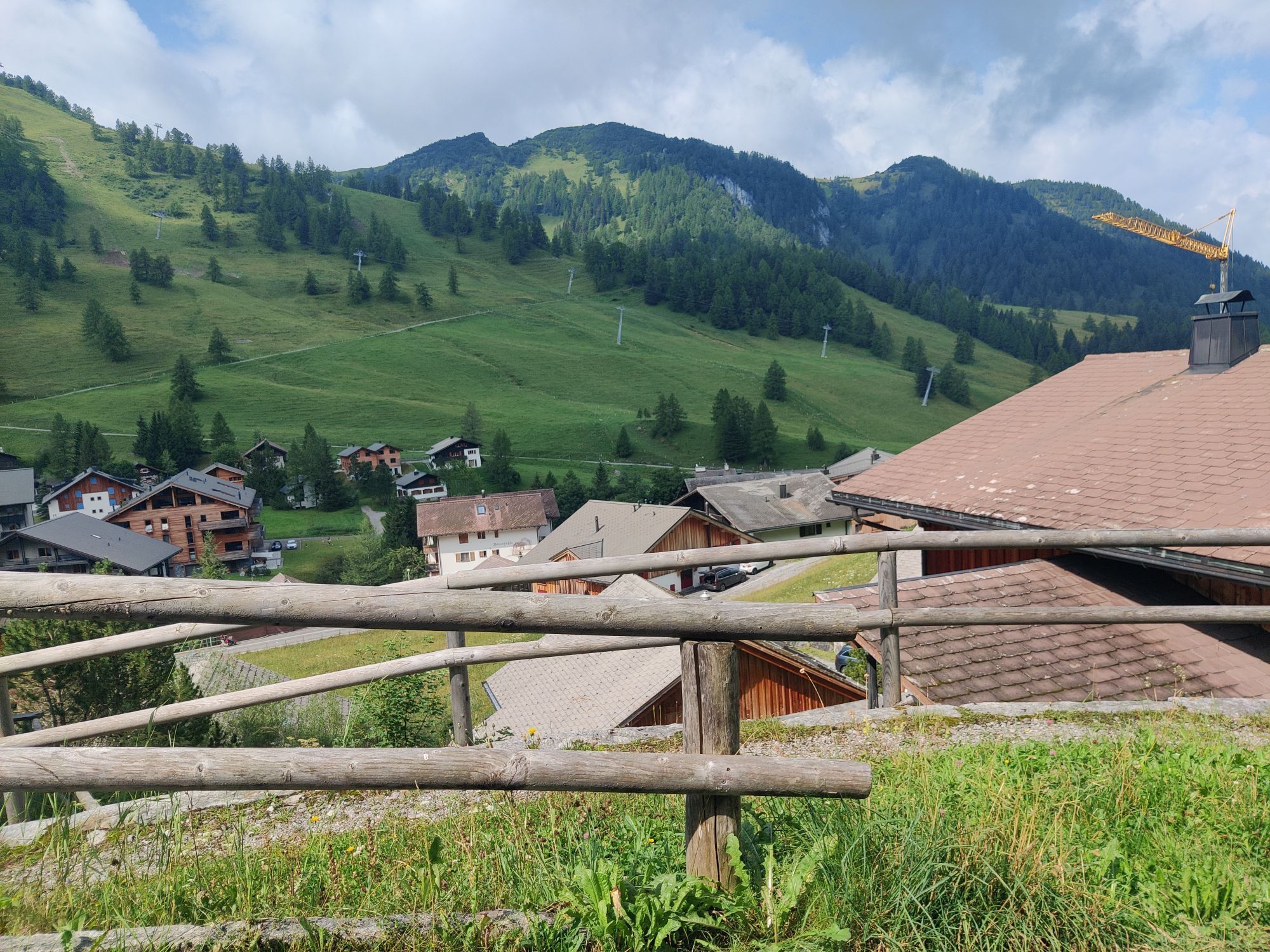
Bus to Malbun from Vaduz Post stop, use Hotel or Tunnel stops when departing from Steg.
There are sufficient parking spaces at the entrance to the village of Malbun
Start early and bring enough drinks, especially on hot summer days.


Popularne wycieczki w okolicy
- 5,0
Bürs, Bürserschlucht Bürs, Vorarlberg
średniWędrówka 5,31 km - 4,9
Douglasshütte, Lünersee, Gafalljoch Brand bei Bludenz, Vorarlberg
światłoWędrówka 9,16 km - 4,6
To the summit cross of the Alpspitz
średniWędrówka 6,02 km - 4,1
Mondspitze (Montspitze)
średniWędrówka 7,97 km - 3,7
Fürstin-Gina-Weg
Wędrówka 10,7 km - 3,8
Sassweg - von Malbun zum Sass-Seelein
Wędrówka 4,14 km - 4,8
From Malbun to the Schönberg
średniWędrówka 12,4 km - 4,8
Douglashütte - Schesaplana
średniWędrówka 7,31 km - 4,7
Alvier
średniWędrówka 3,33 km - 3,6
Fürstensteig-Drei Schwestern
Wędrówka 12,9 km
Wędrówki i tropienie


Nie przegap ofert i inspiracji na następne wakacje
Twój adres e-mail została dodana do listy mailingowej.