


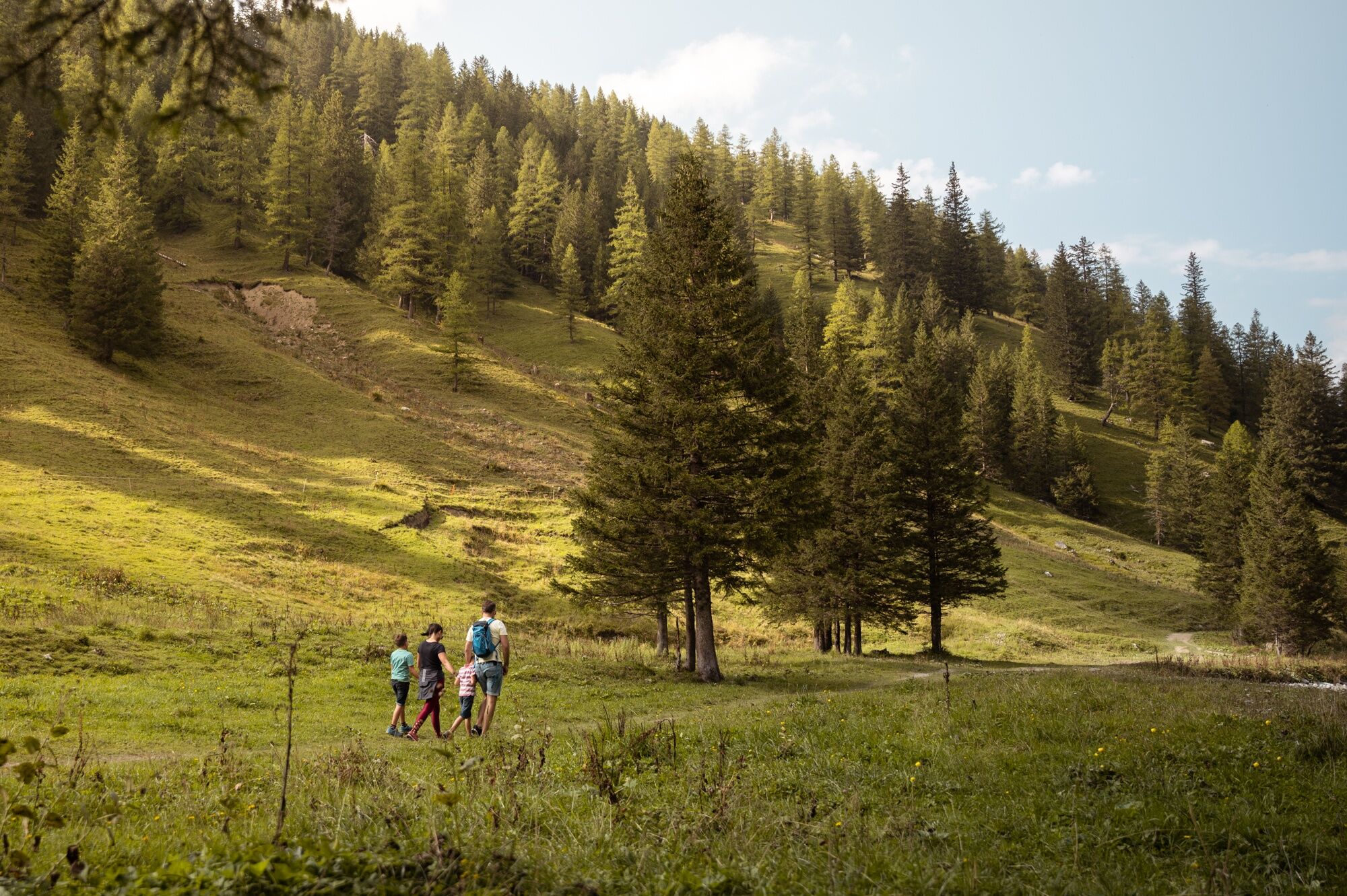
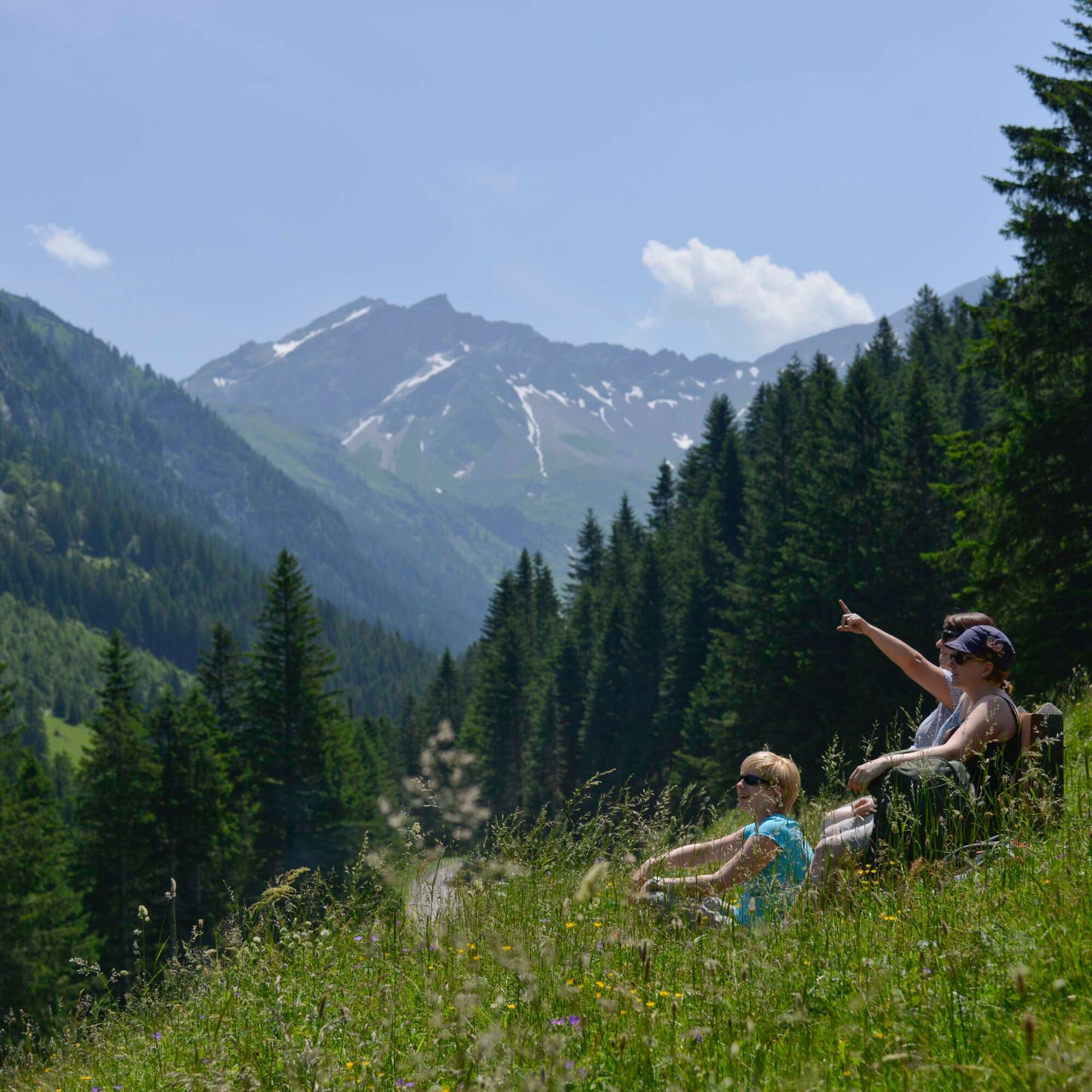
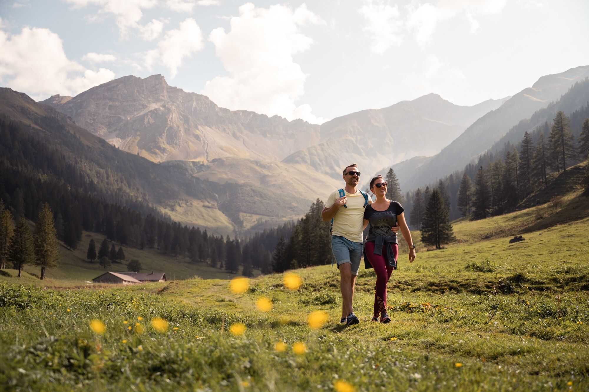
Through the Valüna Valley
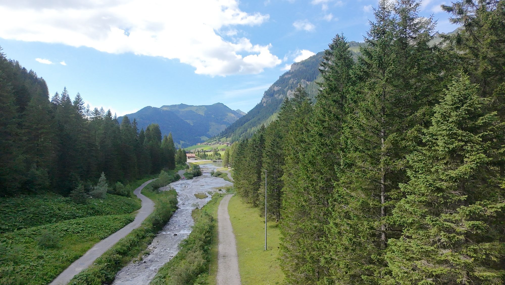

The mountains surrounding the mountain valley and the Maiensäss Steg are particularly beautiful for nature lovers. First, a road leads from Steg on a moderate ascent to Sücka. Then, halfway up, our path...
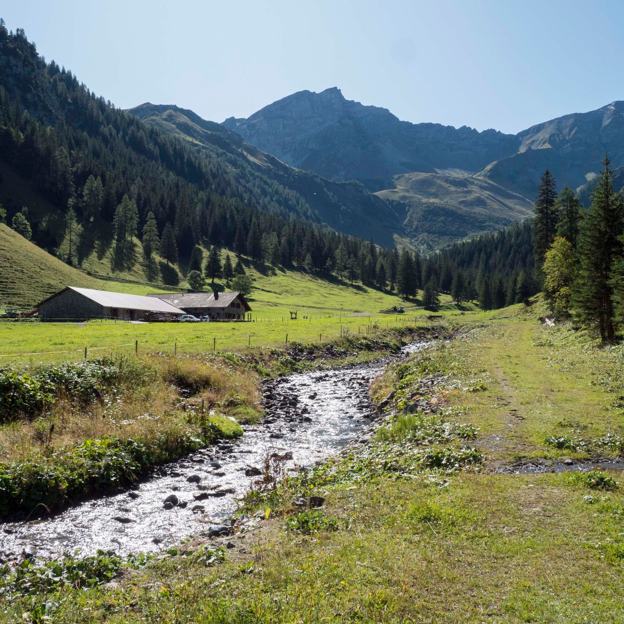
Refreshments are available at Berggasthaus Sücka, Alp Valüna (May to mid-October) and Bergstübli.
Alternative:
The Rappenstein (2222 m) can be reached in an hour on a well-marked trail.
Here you can find all information about hiking in Liechtenstein at a glance!

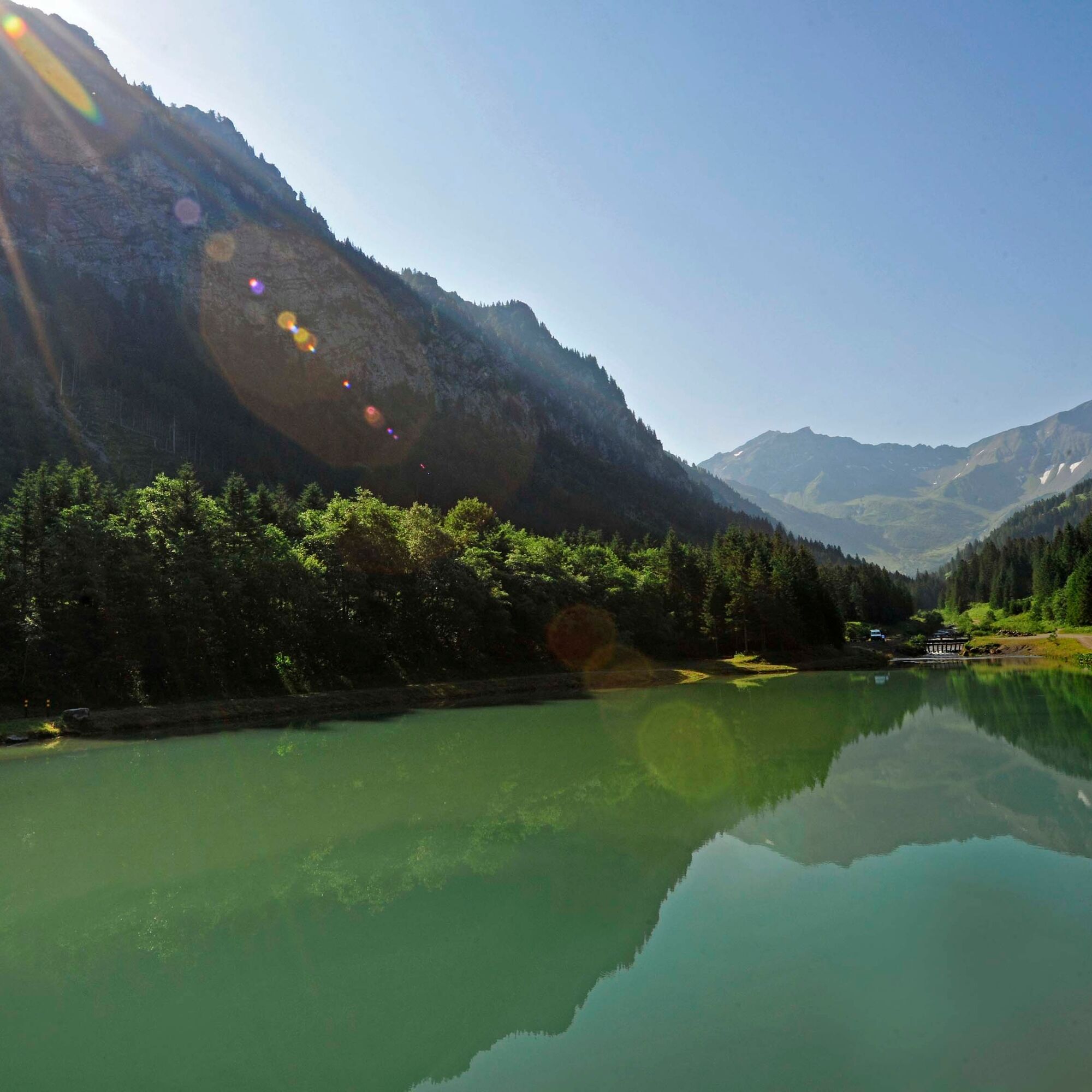
Steg - Sücka - Alpelti - Waldboden - Valüna - Steg
Careful planning is required before embarking on a tour. We recommend that you check the routes and weather conditions with the local information offices beforehand. Depending on the time of year and weather conditions, this route may be closed or interrupted.
Use the bus stops Hotel or Tunnel in Steg.
Parking spaces are located in Steg, after the tunnel
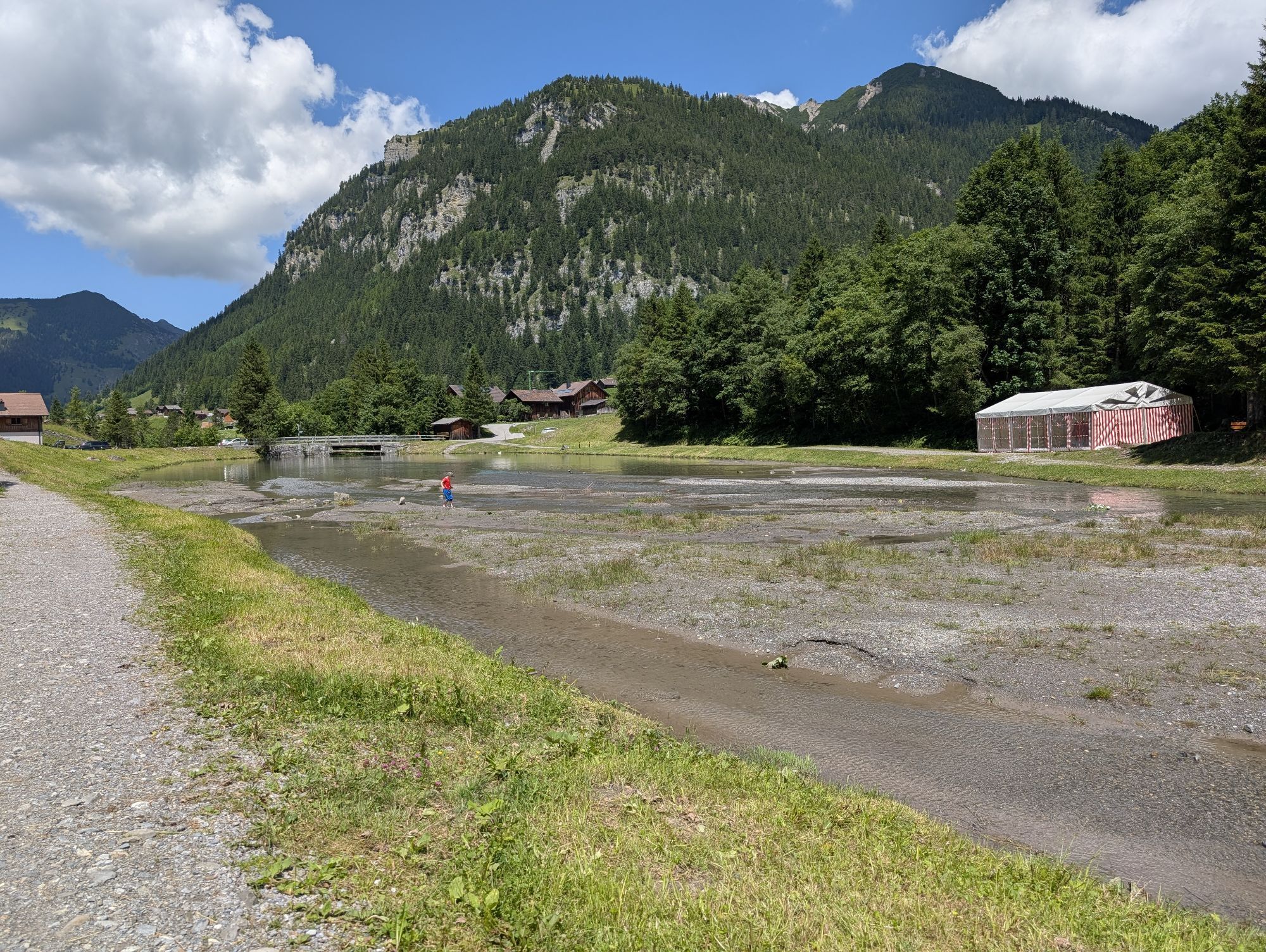
Family tip: barbecuing and playing along the Samina stream and a cool dip in the Gänglesee lake or stream.
Popularne wycieczki w okolicy
- 4,0
Mondspitze (Montspitze)
średniWędrówka 7,97 km - 5,0
Douglasshütte, Lünersee, Gafalljoch Brand bei Bludenz, Vorarlberg
światłoWędrówka 9,16 km - 3,8
Sassweg - von Malbun zum Sass-Seelein
Wędrówka 4,14 km - 3,7
Fürstin-Gina-Weg
Wędrówka 10,7 km - 4,6
To the summit cross of the Alpspitz
światłoWędrówka 6,27 km - 4,8
From Malbun to the Schönberg
średniWędrówka 12,4 km - 4,7
Douglashütte - Schesaplana
średniWędrówka 7,31 km - 3,5
Fürstensteig-Drei Schwestern
Wędrówka 12,9 km - 4,8
Pizalun circular route
światłoWędrówka 7,18 km - 4,7
Alvier
średniWędrówka 3,33 km
Wędrówki i tropienie


Nie przegap ofert i inspiracji na następne wakacje
Twój adres e-mail została dodana do listy mailingowej.