


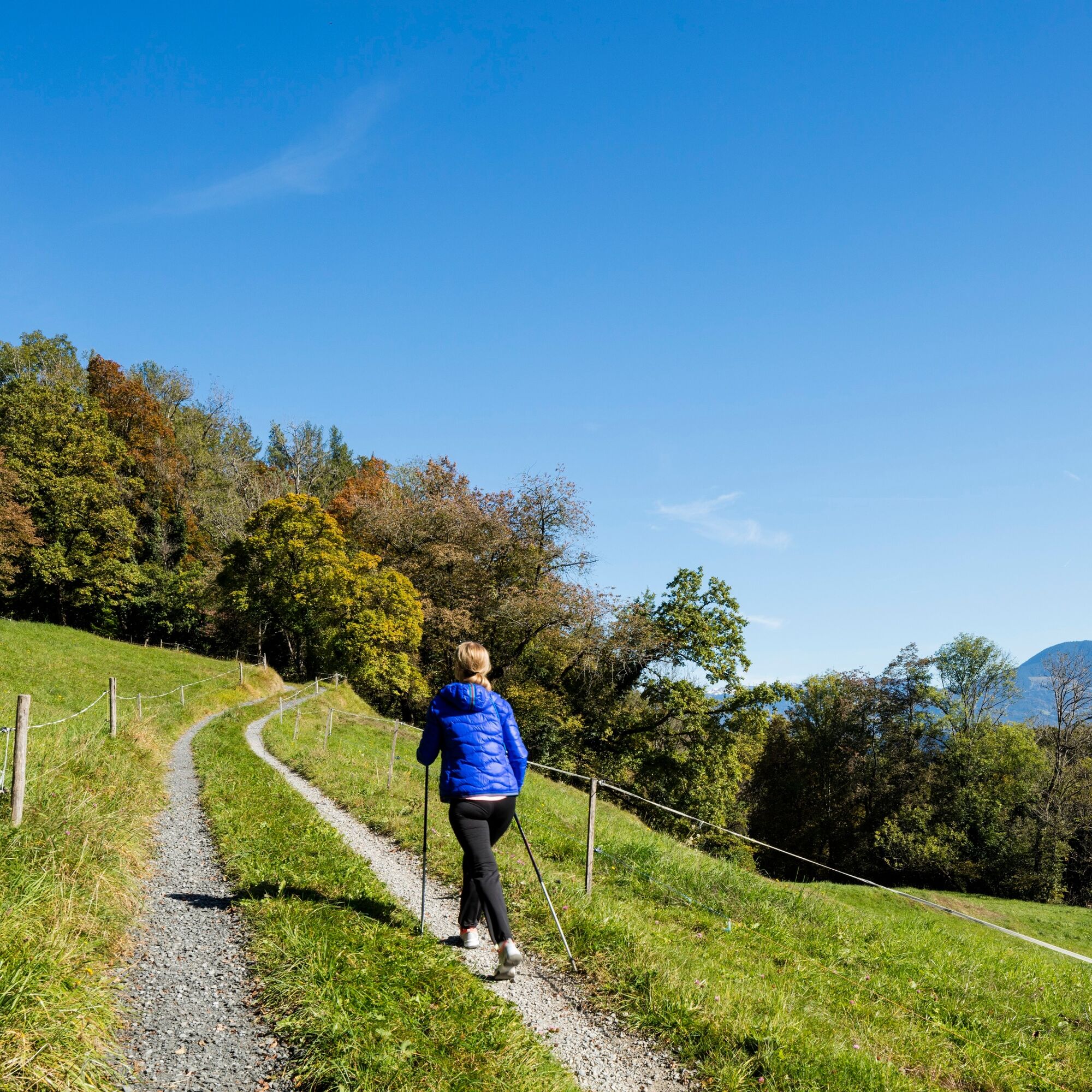
Liechtenstein Trail: 5th stage Ruggell-Schaanwald
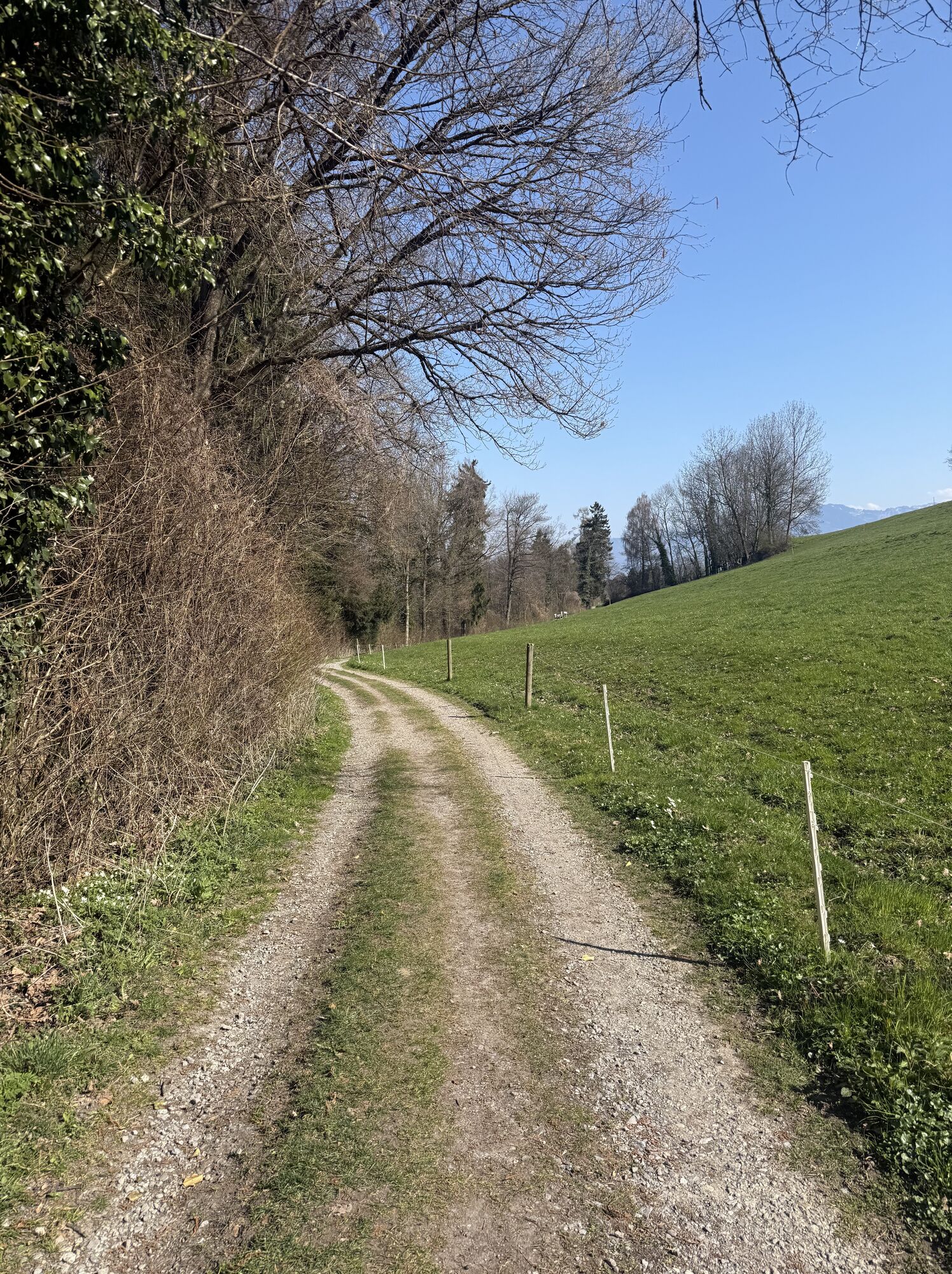
In Ruggell, you first come to the Küefer-Martis-Huus. This listed building from the 18th century is now the community's cultural center. The route continues over the inland dam into the Ruggeller Riet...
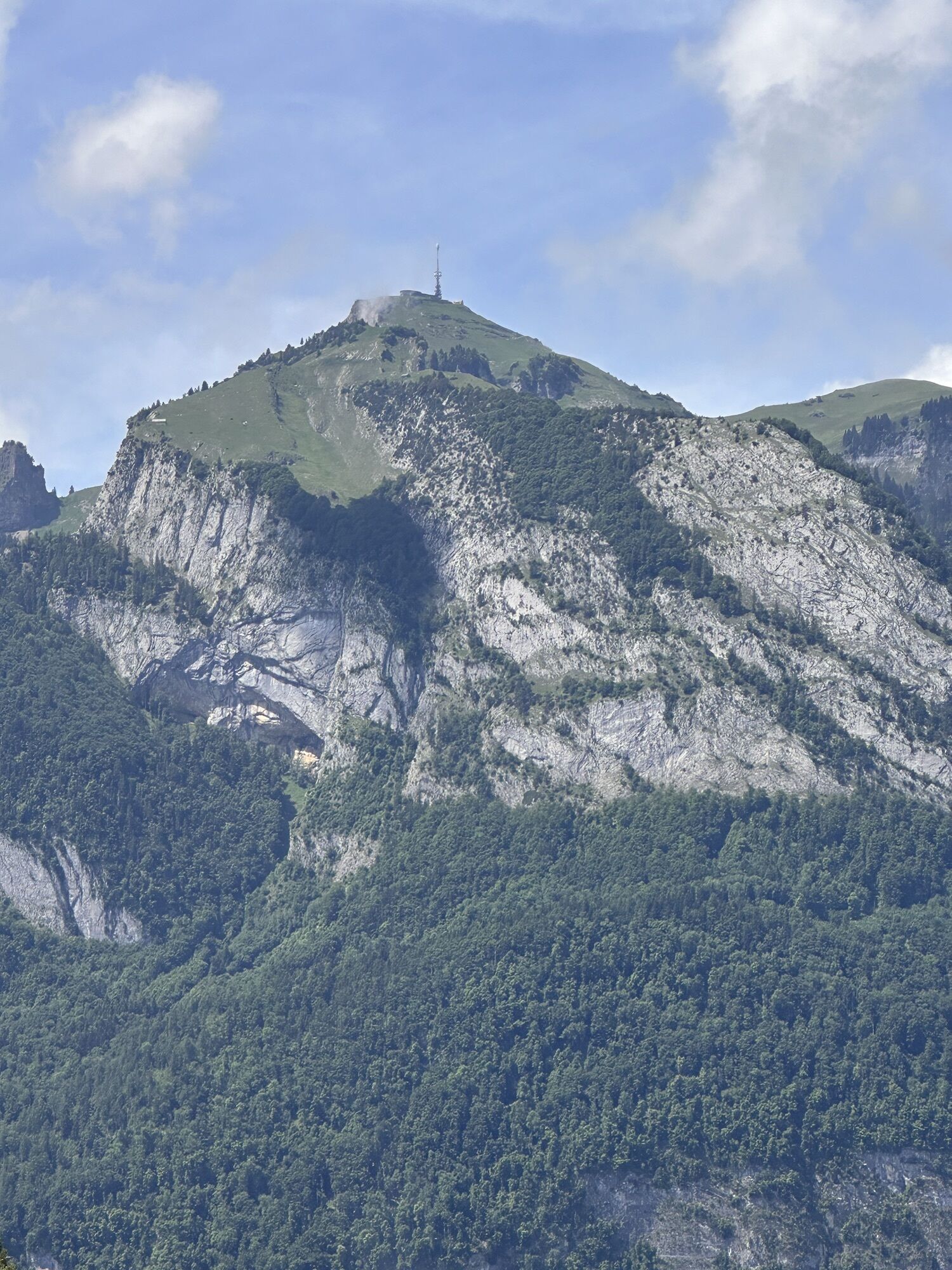
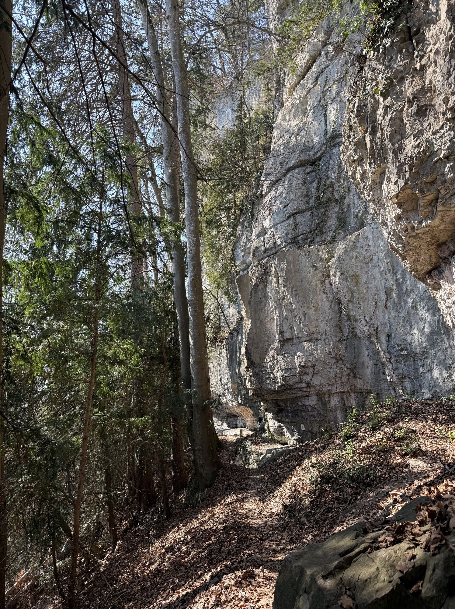
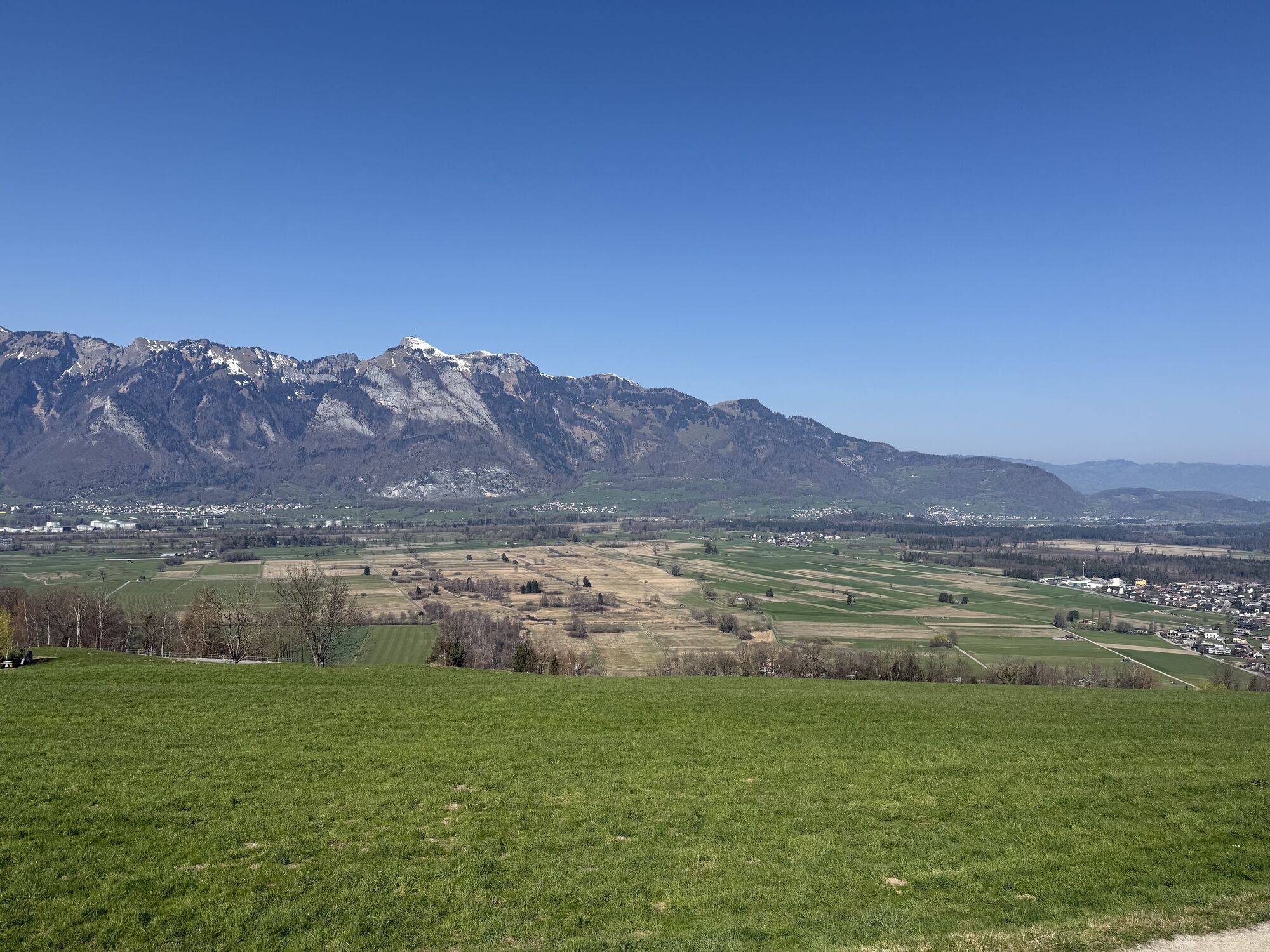
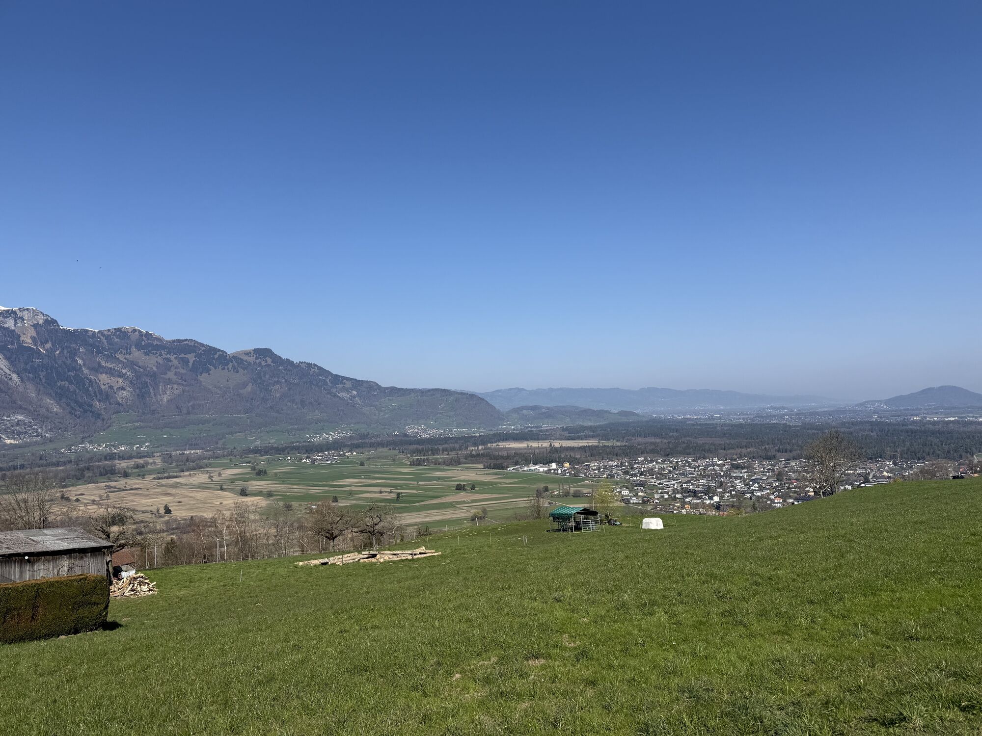
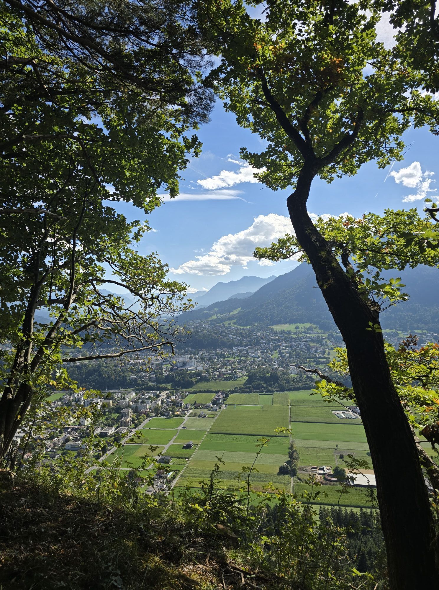
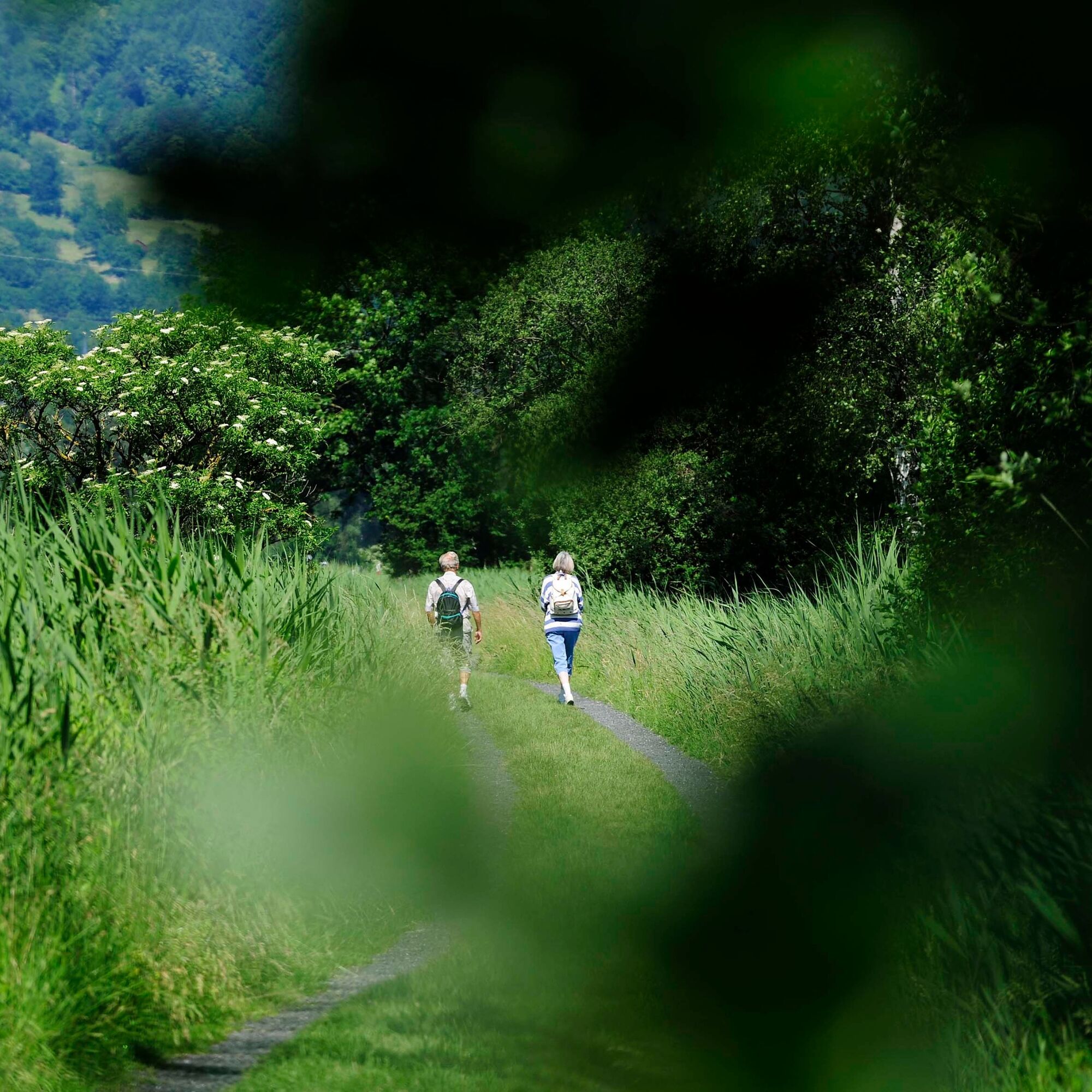
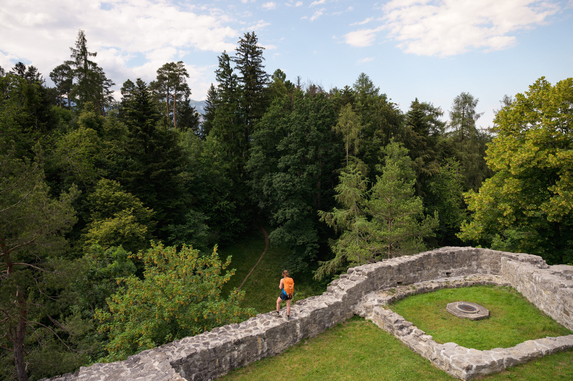
In Schellenberg, you walk past the sports field and on to Hinterschellenberg, very close to the Austrian border. On a clear day, you can see as far as Lake Constance. A narrow hiking trail then leads you through the forest along the Gantenstein to Obere Burg Schellenberg - the perfect place for a short break. The trail continues along a former smugglers' path down to the village center of Mauren and the post office. You can see the parish church of St. Peter & Paul, which dominates the townscape, from afar.
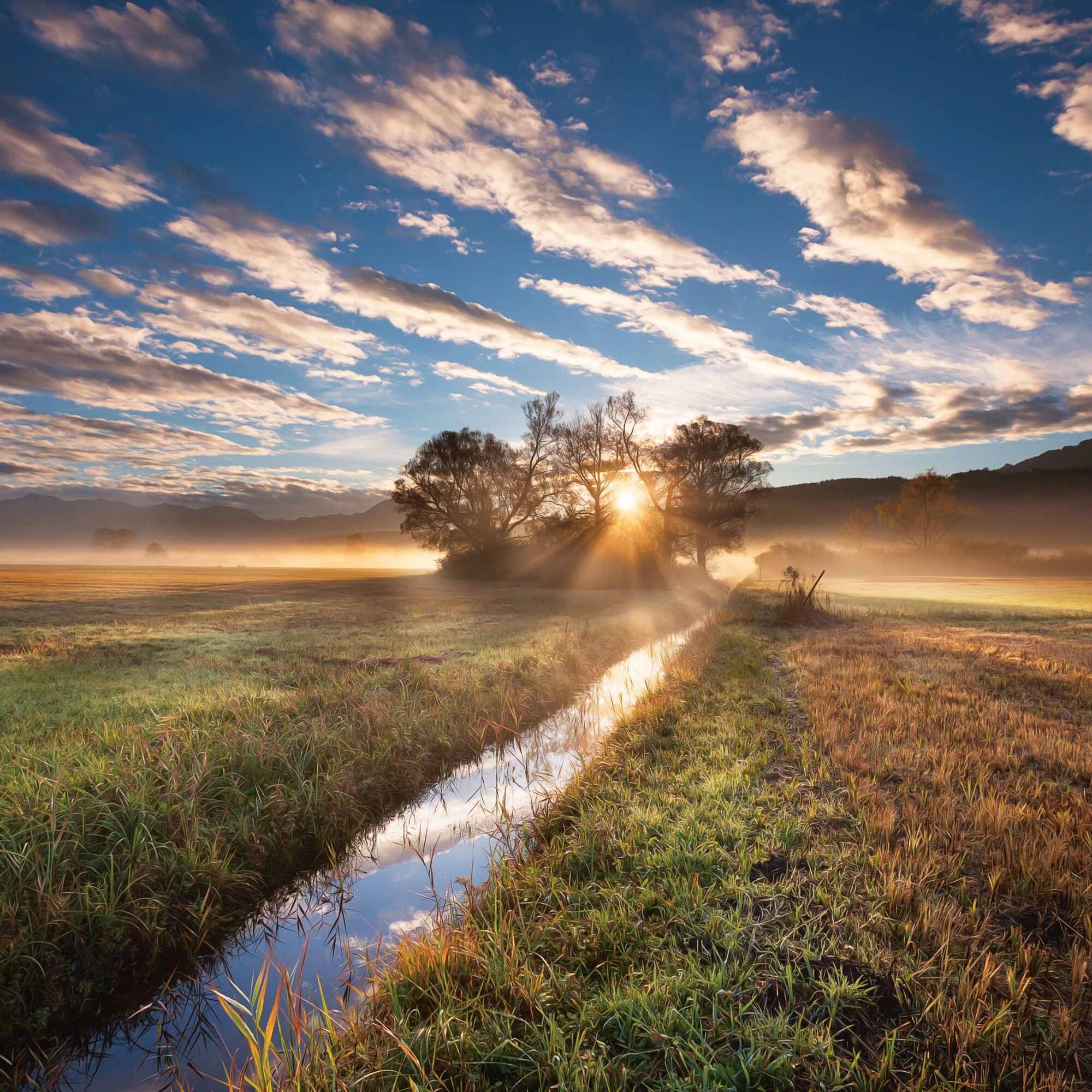
From the village center of Mauren, you climb slightly downhill to Fallsgass before descending to the Seidenbaumpfad. The path owes its name to the mulberry trees that were once used for silk production. You then hike along flat reed paths to the Birka bird paradise - perfect for a short break. Particularly impressive here is the memorial plaque commemorating the water level of the Rhine flooding in 1927. The route then continues through the Maurer Riet and past Funkenplatz Schaanwald to the customs office on the Liechtenstein/Austria border.
Here you can find all the information about hiking in Liechtenstein at a glance!

Tak
Careful planning is required to go on a tour. We recommend that you check the routes and weather conditions with the local information offices beforehand. Depending on the season and weather, this route may be closed or interrupted.
from St. Gallen via the A13 highway (approx. 45 minutes)
from Zurich via the A3 to Sargans, then onto the A13 (approx. 1 hour)
from Munich via the A96, in Austria on the A14 (approx. 3 hours)
from Innsbruck via the A12, S16 and then the A14 (approx. 2.5 hours)
International rail connections ensure comfortable travel to Liechtenstein. At the Sargans, Buchs/SG and Feldkirch train stations, you can easily change to Liechtenstein's well-developed bus network (LIEmobil) and reach your vacation destination in comfort.
Starting point
Ruggell: Bus stop "Ruggell, Rathaus"
End point
Schaanwald: "Schaanwald, Zollamt" bus stop
Timetables:
Train timetable Switzerland
Train timetable Austria
Bus timetable Liechtenstein
6 days and 5 nights on the Liechtenstein Trail
3 days and 2 nights on the Liechtenstein Trail
Luggage transportation service:
If you want to enjoy the Liechtenstein Trail without a care in the world, you don't want to burden yourself with heavy luggage. If you book one of the overnight offers, the practical luggage transport service is already included for you.
Kamery internetowe z trasy
Hoher Kasten - Drehrestaurant
Hoher Kasten - Drehrestaurant
Hoher Kasten
Hoher Kasten
Hoher Kasten
Hoher Kasten
Hoher Kasten
Hoher Kasten
Hoher Kasten
Hoher Kasten
Feldkirch
Schilift Bazora
Schilift Bazora
Frastanz / Amerlügen
Feldkirch / Nofels
Feldkirch / Bangs
Bazora
Feldkirch / Gisingen
Feldkirch / Gisingen
Feldkirch / Nofels
Frastanz
Feldkirch / Nofels
Hoher Kasten - Rheintal
Hoher Kasten - Rheintal
Hoher Kasten - Rheintal
Hoher Kasten - Rheintal
Hoher Kasten - Rheintal
Hoher Kasten - Rheintal
Hoher Kasten - Rheintal
Hoher Kasten - Rheintal
Vorderälpele
Popularne wycieczki w okolicy
- 4,3
Üble Schlucht / Laterns
średniWędrówka 6,30 km - 4,6
To the summit cross of the Alpspitz
średniWędrówka 6,02 km - 4,7
Tour Brülisau - Saxerlücke - Hoherkasten⛰
ciężkiWędrówka 16,6 km - 4,6
Wasserauen - Seealpsee - Wasserauen
średniWędrówka 7,71 km - 4,9
Säntis-Gipfeltour, Wasserauen / Appenzell Innerrhoden
ciężkiWędrówka 21,1 km - 3,8
Sassweg - von Malbun zum Sass-Seelein
Wędrówka 4,14 km - 4,8
From Malbun to the Schönberg
średniWędrówka 12,4 km - 5,0
Staubern-Runde (15.8.2021)
średniWędrówka 8,65 km - 4,8
2 Seenwanderung Sämtisersee und Fälensee
średniWędrówka 14,6 km - 3,6
Fürstensteig-Drei Schwestern
Wędrówka 12,9 km
Wędrówki i tropienie


Nie przegap ofert i inspiracji na następne wakacje
Twój adres e-mail została dodana do listy mailingowej.