


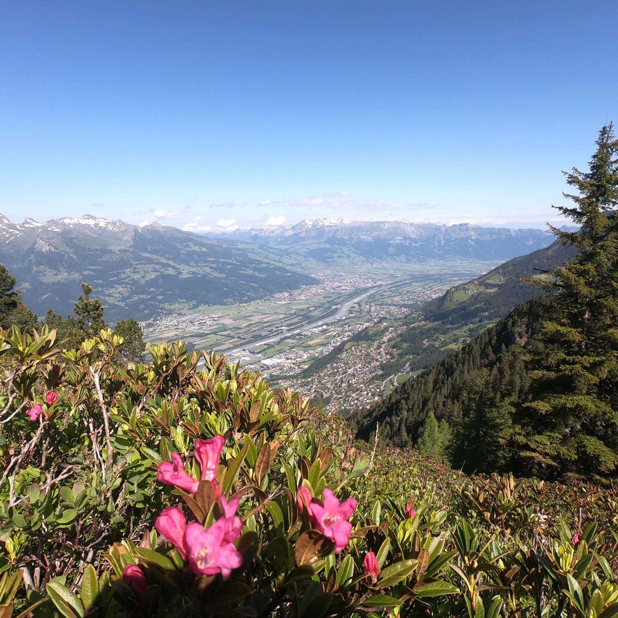
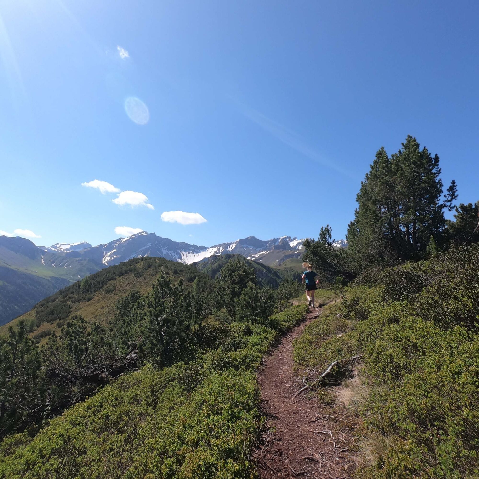
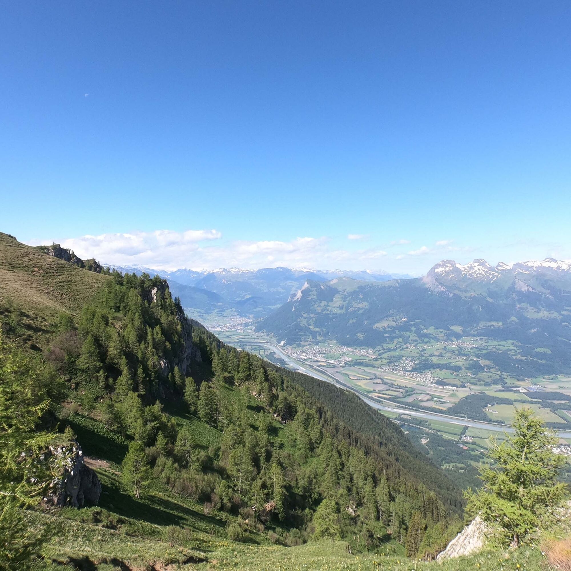
Technical ridge with a unique view of the Rhine Valley
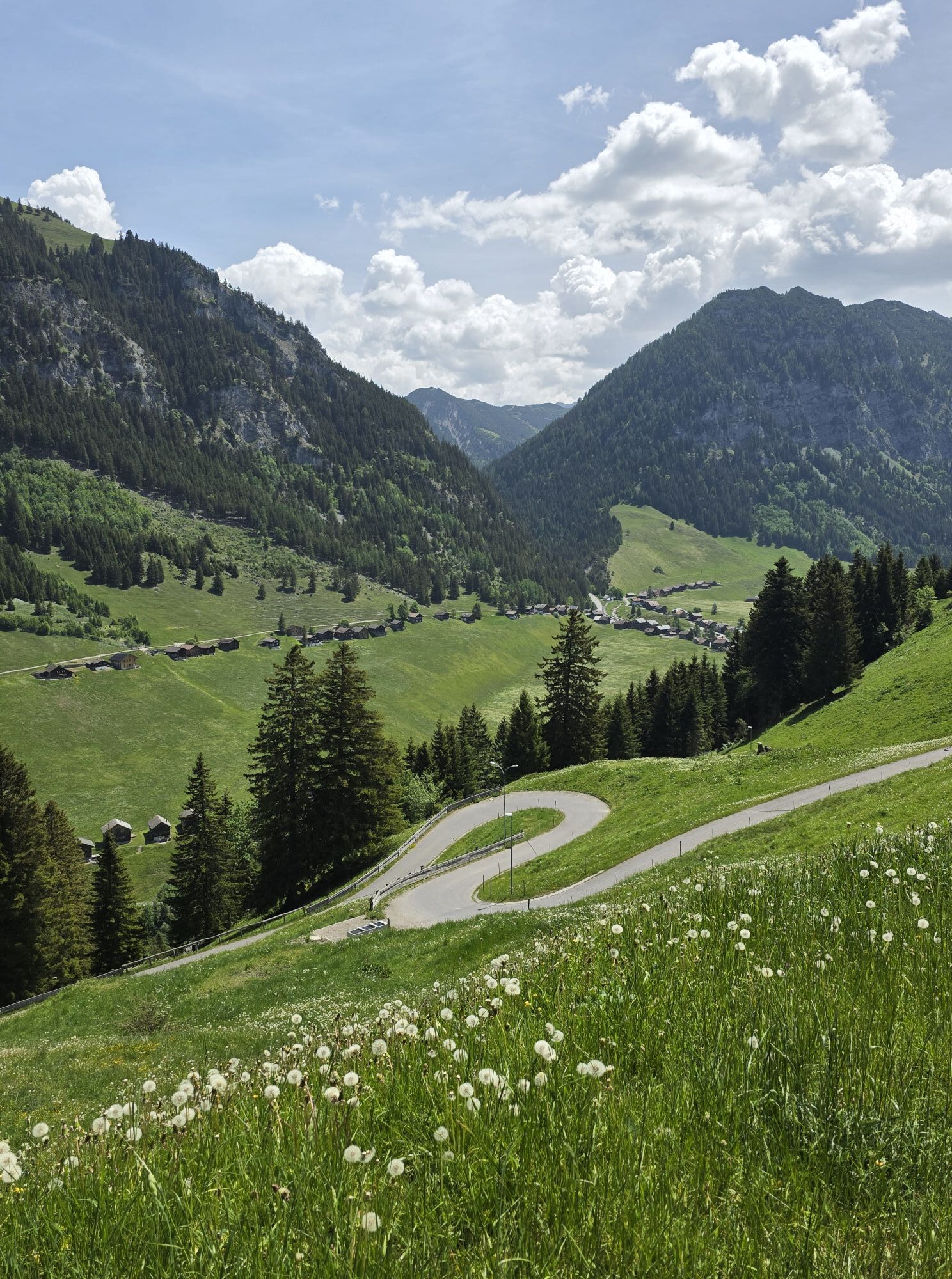
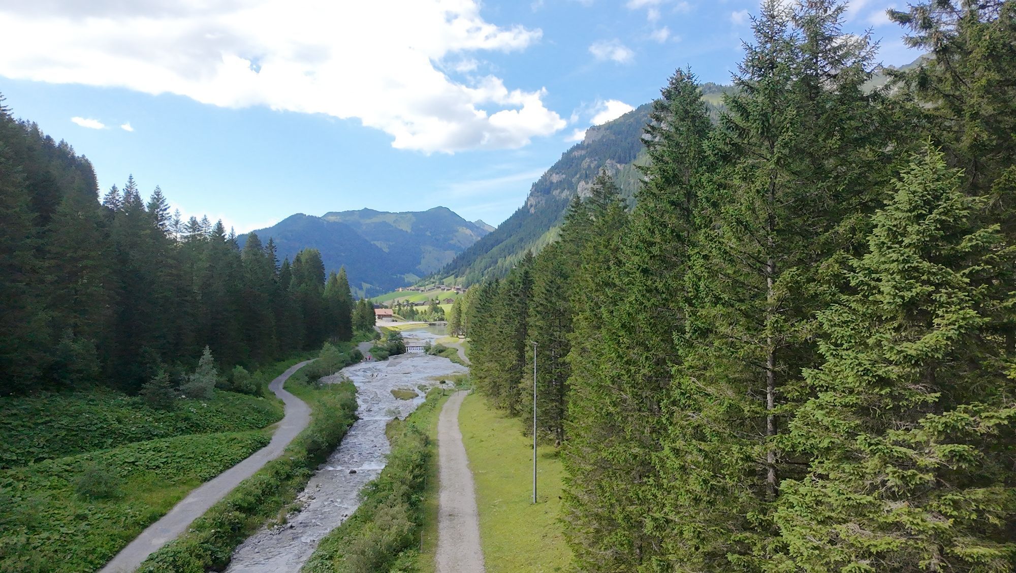

The starting point is at the bus stop / parking lot directly after the tunnel before Steg. Cross the stream and follow the road for a short distance before the hiking trail turns off to the left and climbs...
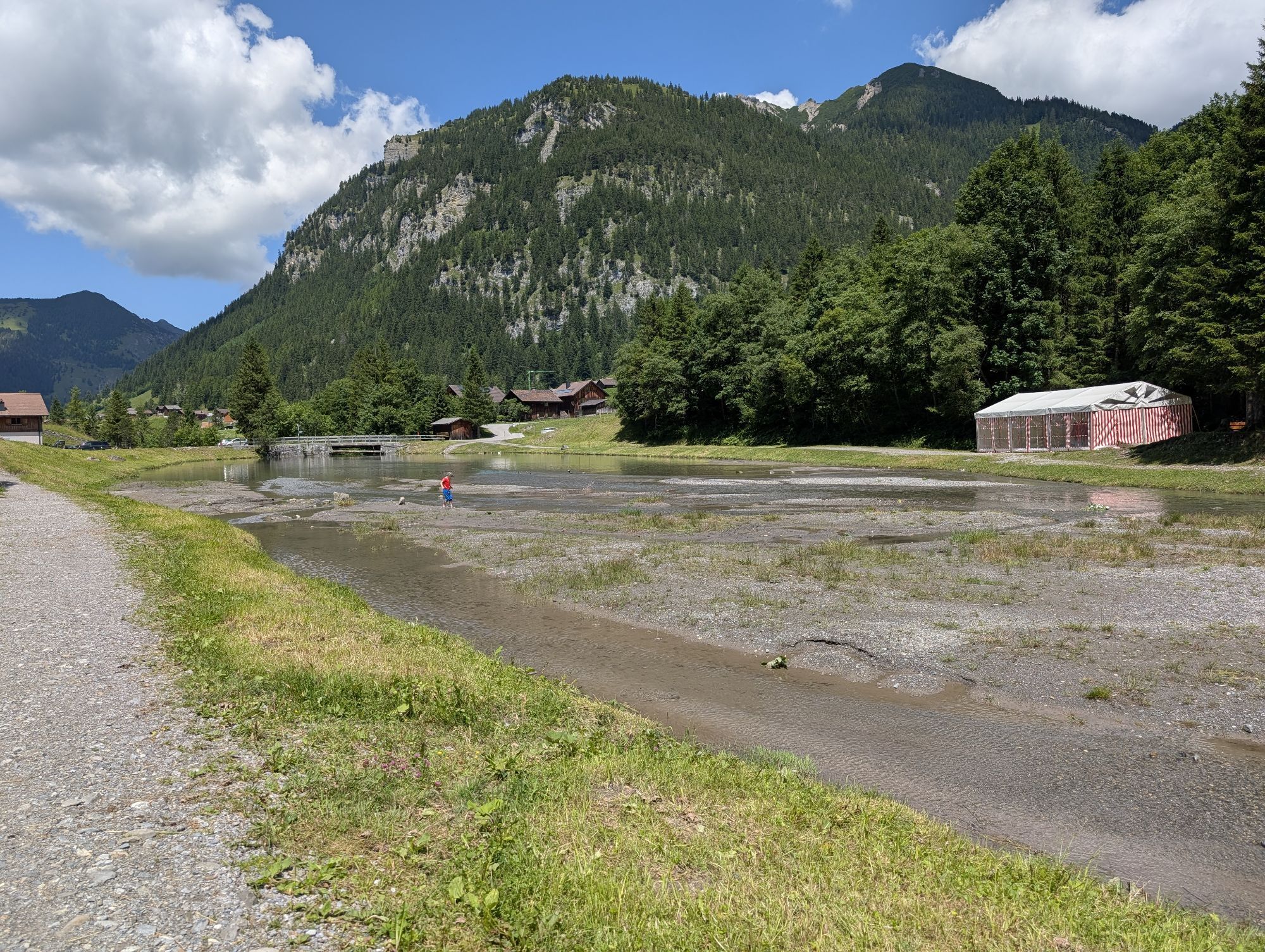
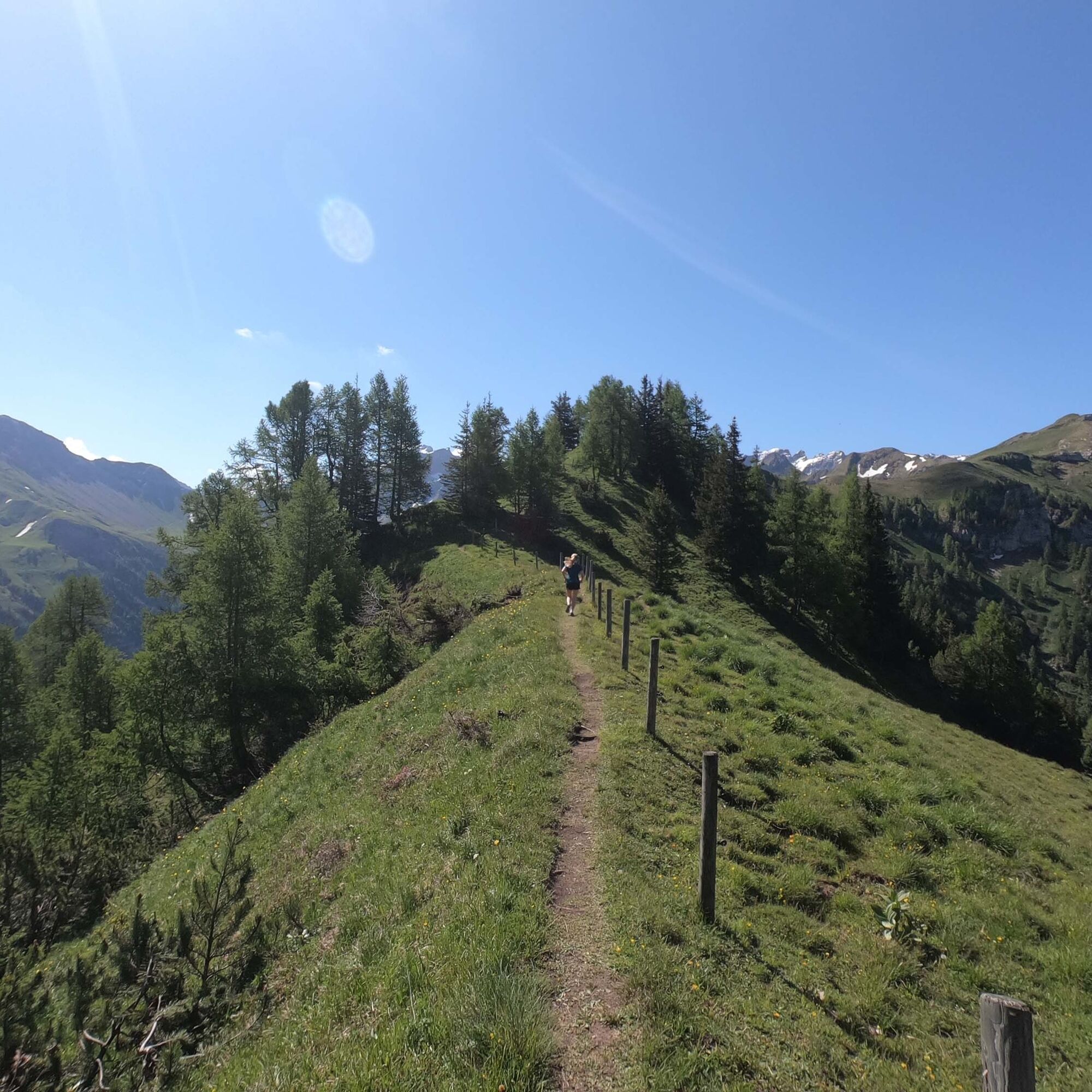
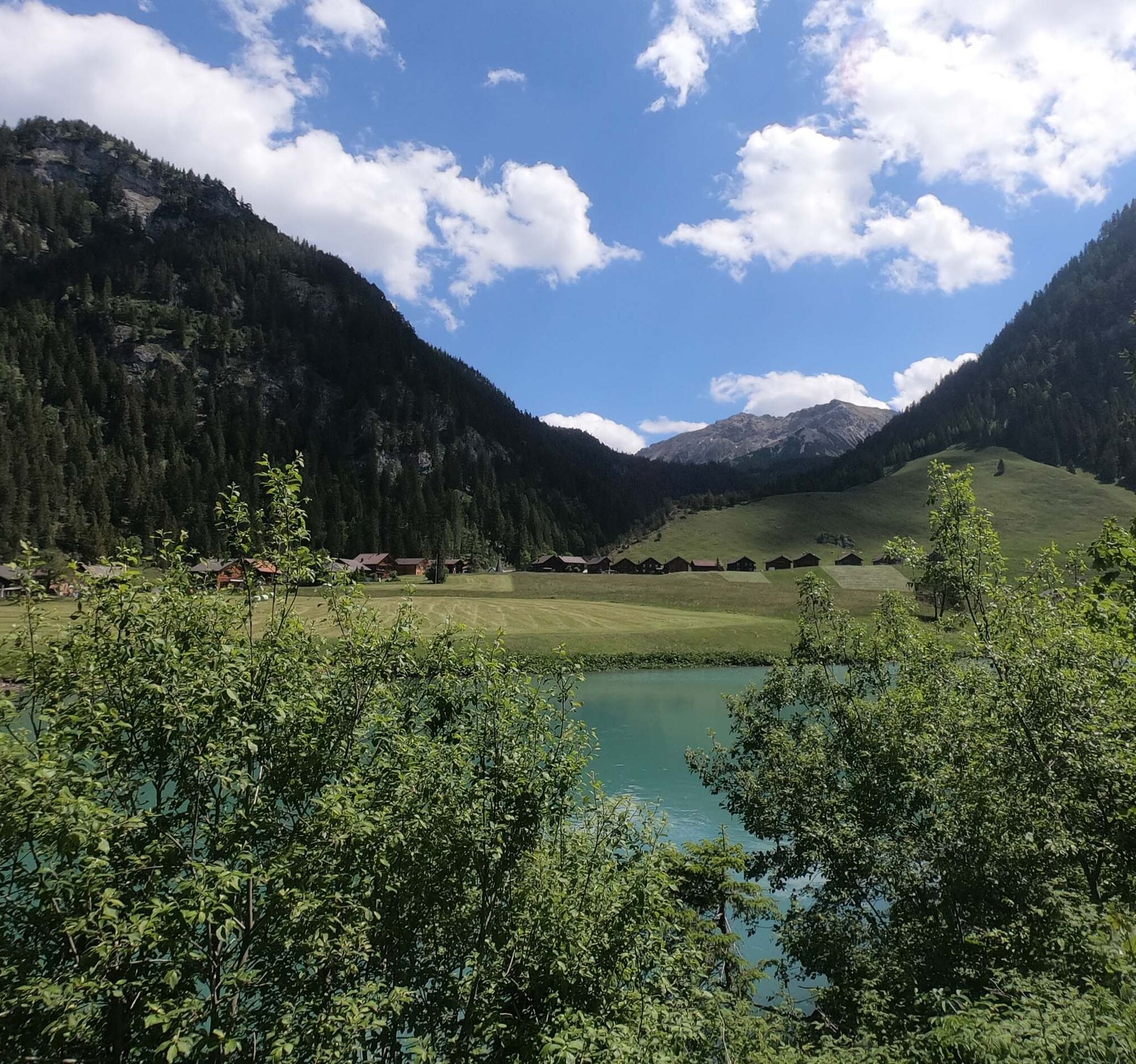
The starting point is at the bus stop / parking lot directly after the tunnel before Steg. Cross the stream and follow the road for a short distance before the hiking trail turns off to the left and climbs steeply. At the mountain inn Sück, follow the road a little further until you are almost at the ridge, where the hiking trail changes direction before the tunnel and crosses the cow pasture. Stay on the ridge path, which climbs steeply through the forest over “Chrüppel” and “Kolme”, until you leave the tree line behind and reach the highest point of the route at “Goldlochspitz”. Optionally, you can add Rappenstein here, or descend via Obersäss and Waldboda to the Valünabach. The downhill is not very steep and follows the gravel road, which quickly leads you back to Steg via Valüna. Once you reach the pond, you can turn right into the village or continue straight back to the parking lot.


Trail running shoes, weather-appropriate clothing, at least 1L of water and snacks (bars, gel).
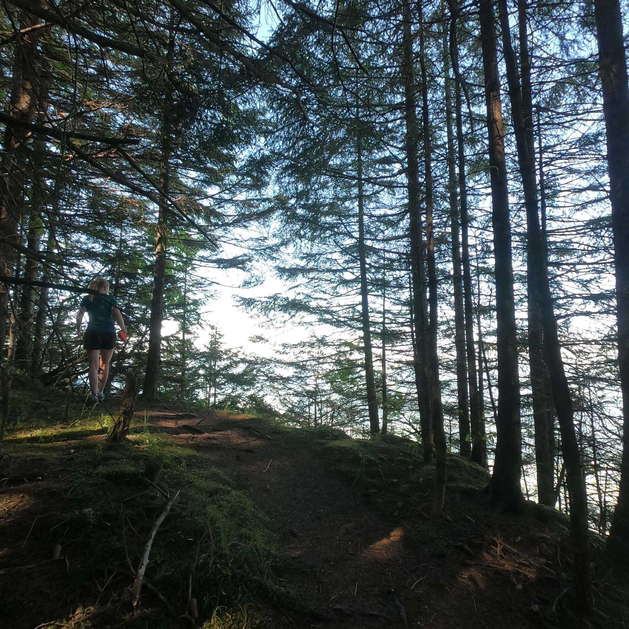
The path on the ridge is covered with roots and is partly steep and exposed. You will pass cow pastures with mother cows. Keep your distance and slow down to walking pace when passing mother cows.
To undertake a route, careful planning is necessary. We recommend that you exchange information with local information points in advance about the routes and weather conditions. Depending on the season and weather conditions, this route may be closed or interrupted.
Triesenberg-Steg
B21 bus from Vaduz to Steg, tunnel.
Ample public parking (free) directly after the tunnel or at the reservoir in the village. The starting point is about 100m after the tunnel just before the village entrance.
The route can be extended by running from Obersäss via the Pfälzerhütte and Augstenberg to Sareis, where the chairlift takes you down to Malbun. From there, it’s a stone's throw or a short bus ride back to Steg.
Combine this trail run with a family outing. In Malbun, you will find a spacious playground and other great offers for families and children.
Warm up well before the trail, or start slowly, as the route climbs steeply right from the start. Treat yourself to a refreshment at the Seeblick restaurant at the end of the trail. More about the author Michael Lenz https://swisstrailguide.com
Kamery internetowe z trasy
Popularne wycieczki w okolicy
-
4,6
To the summit cross of the Alpspitz
średniWędrówka 6,02 km -
4,1
Mondspitze (Montspitze)
średniWędrówka 7,97 km -
4,9
Douglasshütte, Lünersee, Gafalljoch Brand bei Bludenz, Vorarlberg
światłoWędrówka 9,16 km -
3,7
Fürstin-Gina-Weg
Wędrówka 10,7 km -
3,8
Sassweg - von Malbun zum Sass-Seelein
Wędrówka 4,14 km -
4,8
From Malbun to the Schönberg
średniWędrówka 12,4 km -
4,7
Tamina Gorge Circular Route
średniWędrówka 14,0 km -
4,8
Douglashütte - Schesaplana
średniWędrówka 7,31 km -
4,6
Pizalun circular route
światłoWędrówka 7,18 km -
4,7
Alvier
średniWędrówka 3,33 km
Wędrówki i tropienie


Nie przegap ofert i inspiracji na następne wakacje
Twój adres e-mail została dodana do listy mailingowej.