


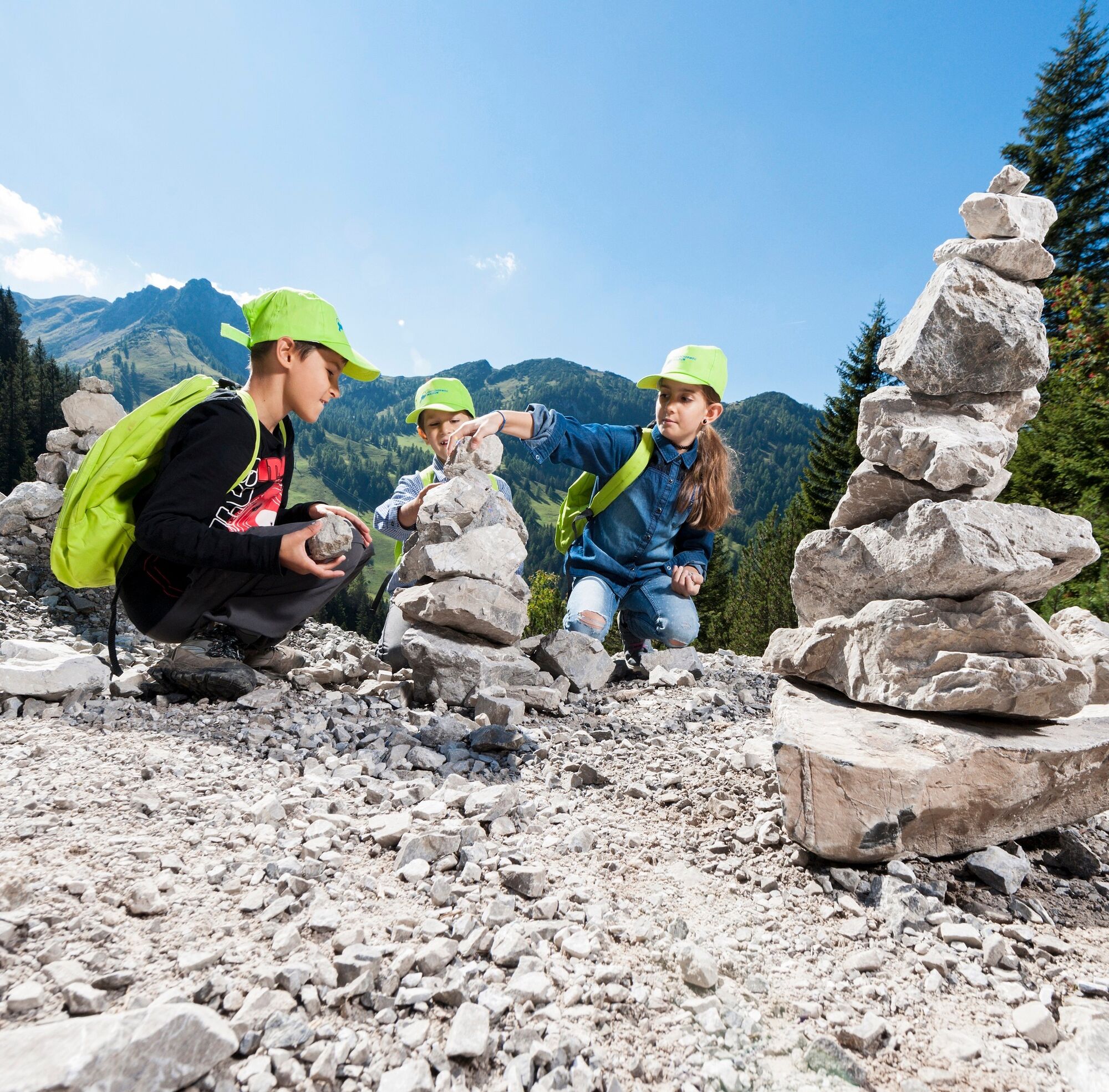
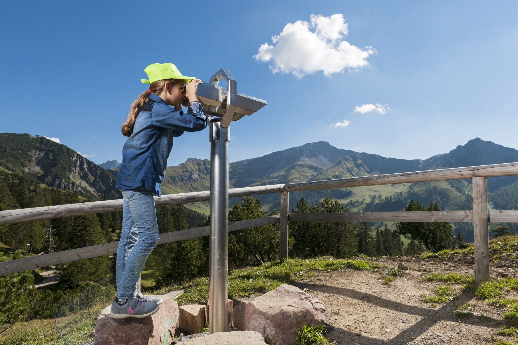
Explorer Route Malbun
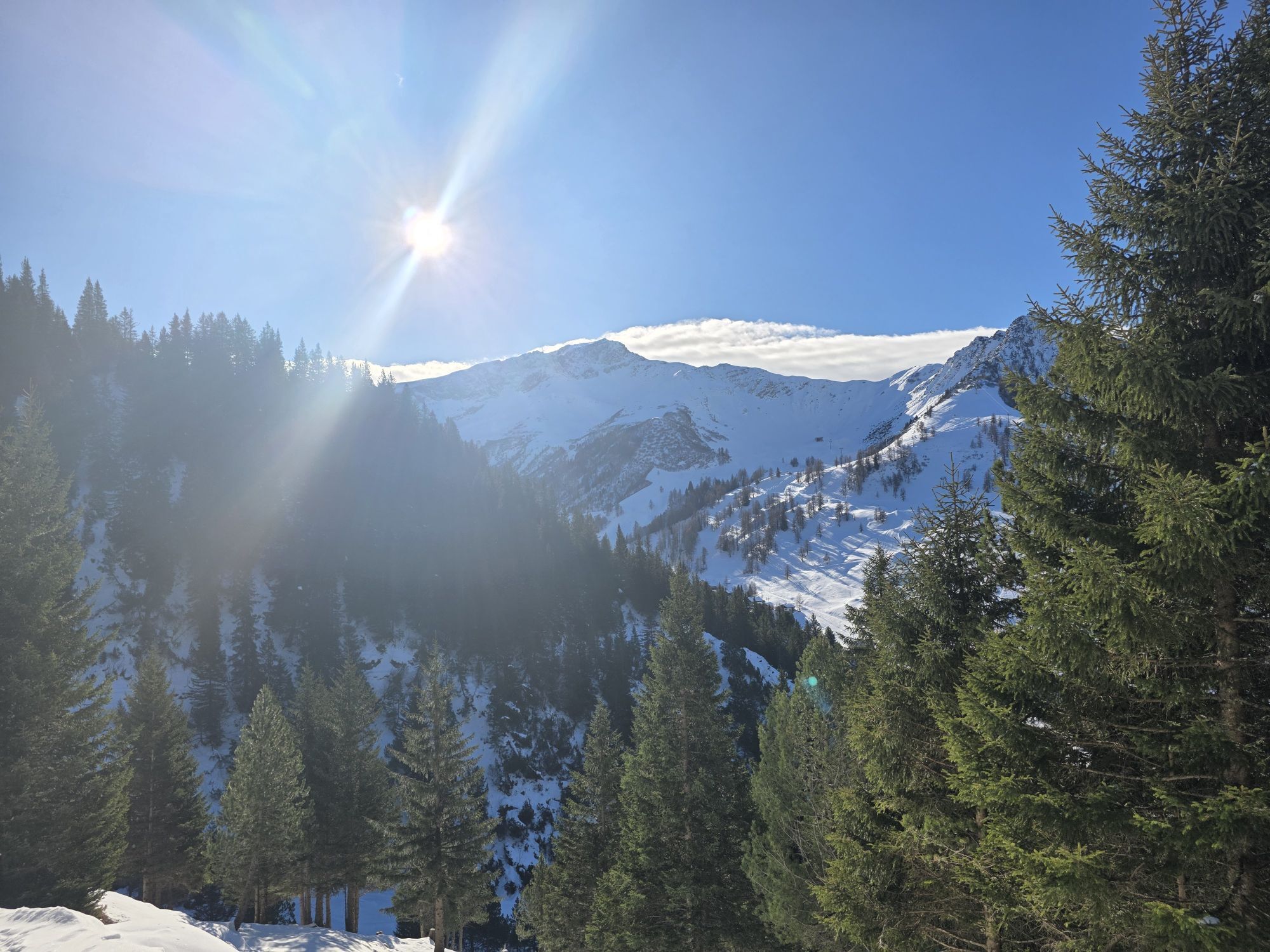
The explorer route has ten stations and starts at Schlucher-Treff at the entrance to Malbun. There are the weather station and a sundial. The children learn interesting facts about the sun, clouds, air,...
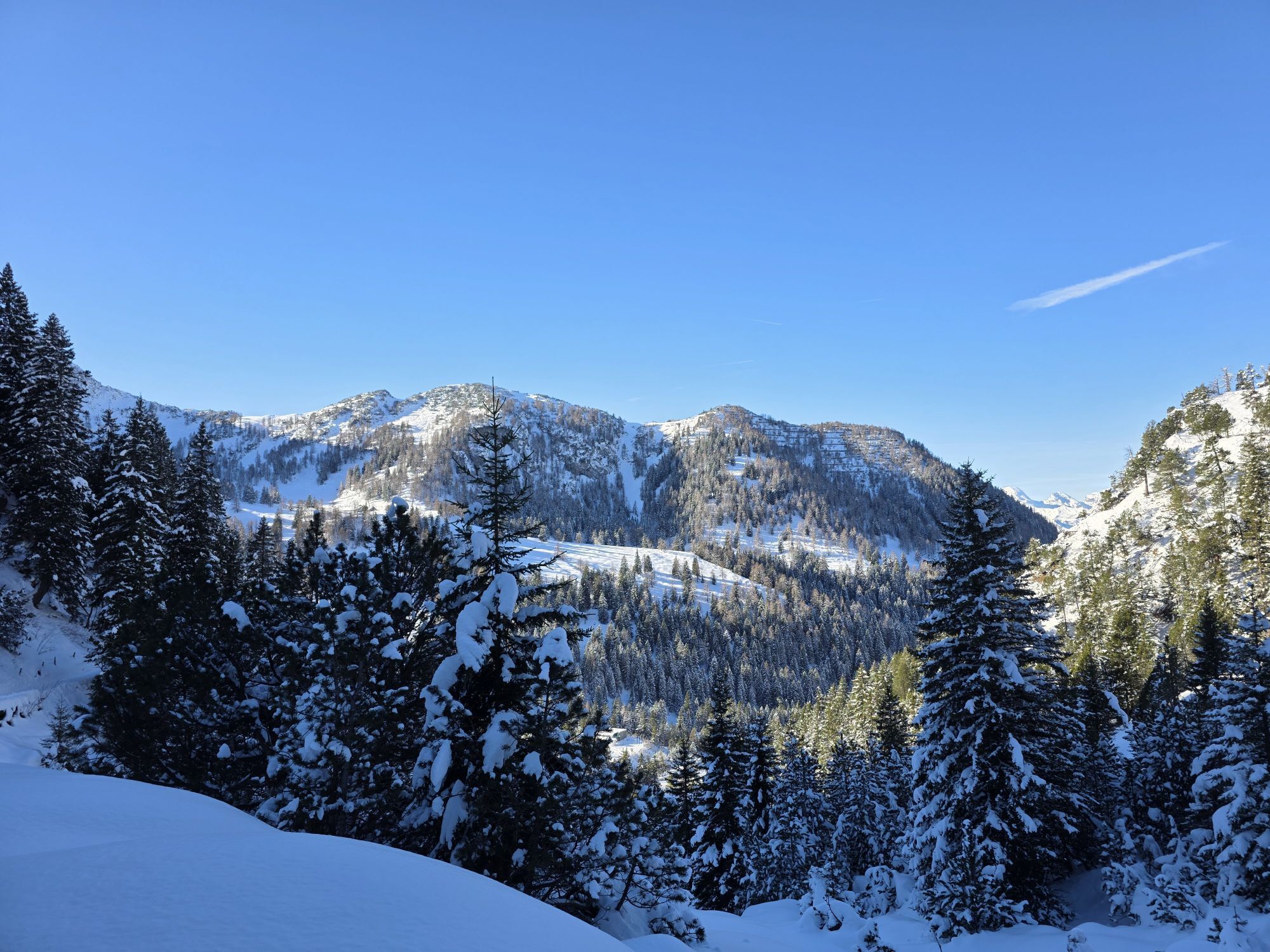
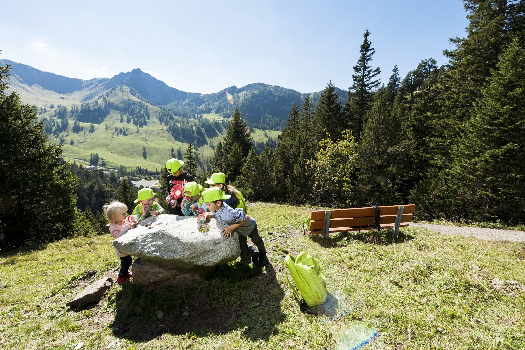
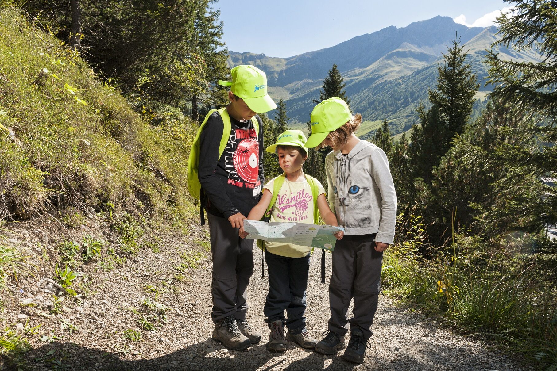
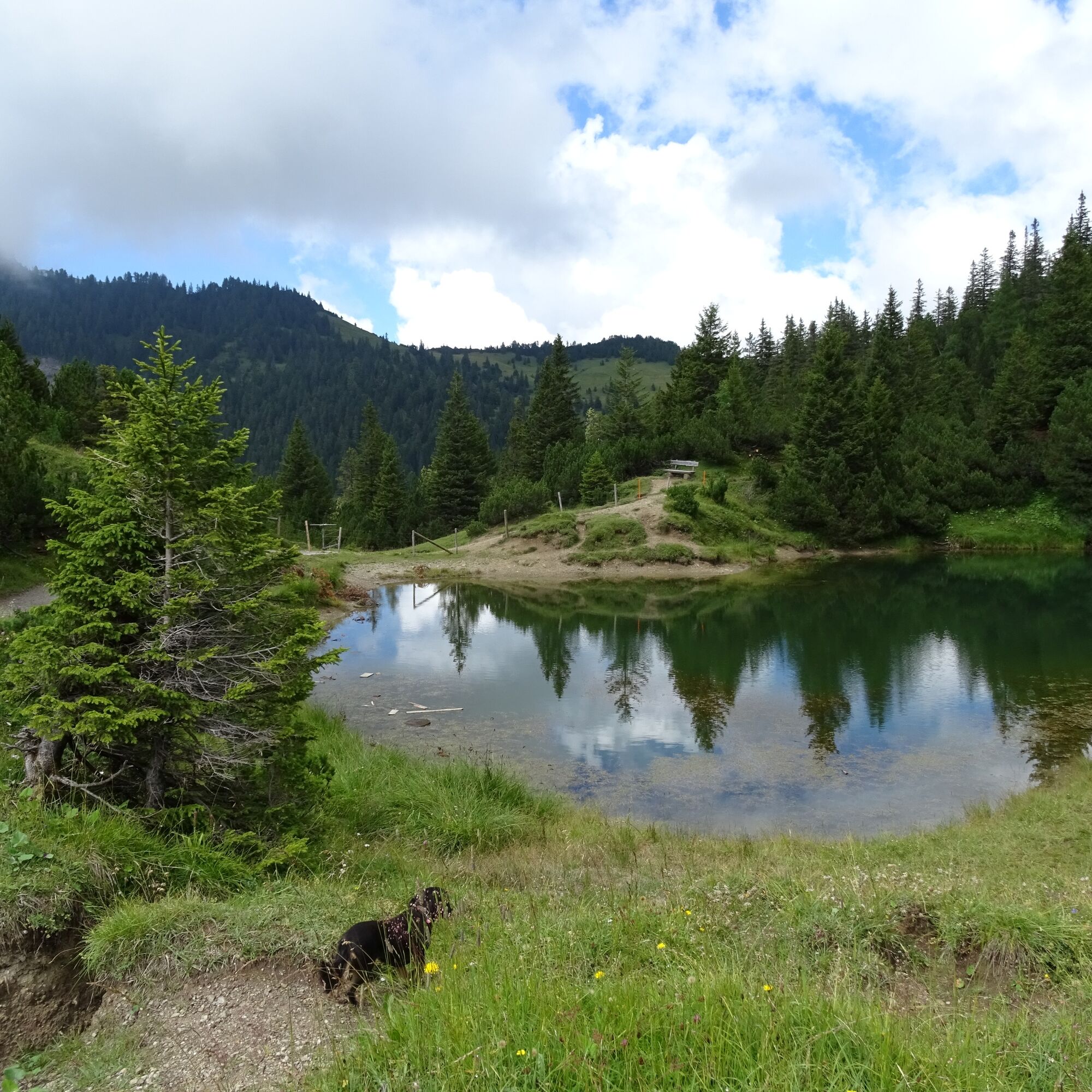
The explorer route has ten stations and starts at Schlucher-Treff at the entrance to Malbun. There are the weather station and a sundial. The children learn interesting facts about the sun, clouds, air, wind and solve the first task. It continues to the stone fountain, where the next challenge already awaits. In addition, it is important to discover the plant and animal life in the Alpine region, complete search games, stone table memory, and musical tasks. The stations were made of natural materials, mainly stones.
With provisions to the explorer throne Explorers also need provisions and equipment for the approximately two-hour discovery journey. In the backpack, which can be obtained with a deposit at the Malbun Center, there are among other things a magnifying glass, ruler, LED lighting, a kit for a water wheel, and a journal with questions, drawings and tasks for the various stations. Those who complete the explorer route can look forward to a crowning finale: the explorer throne.

Tak
Tak
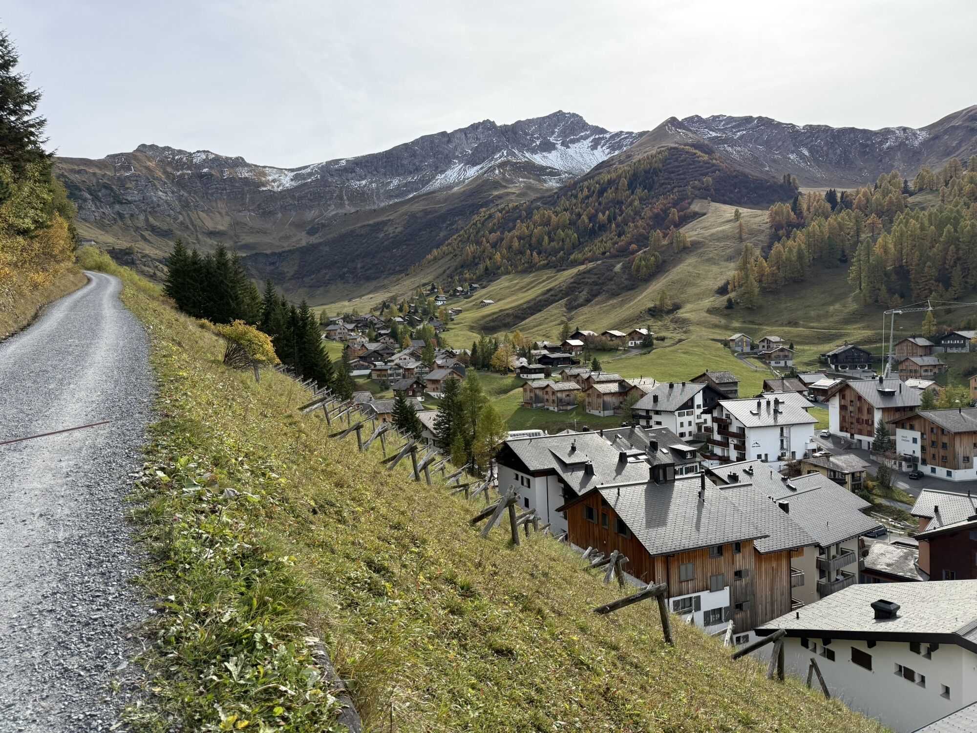
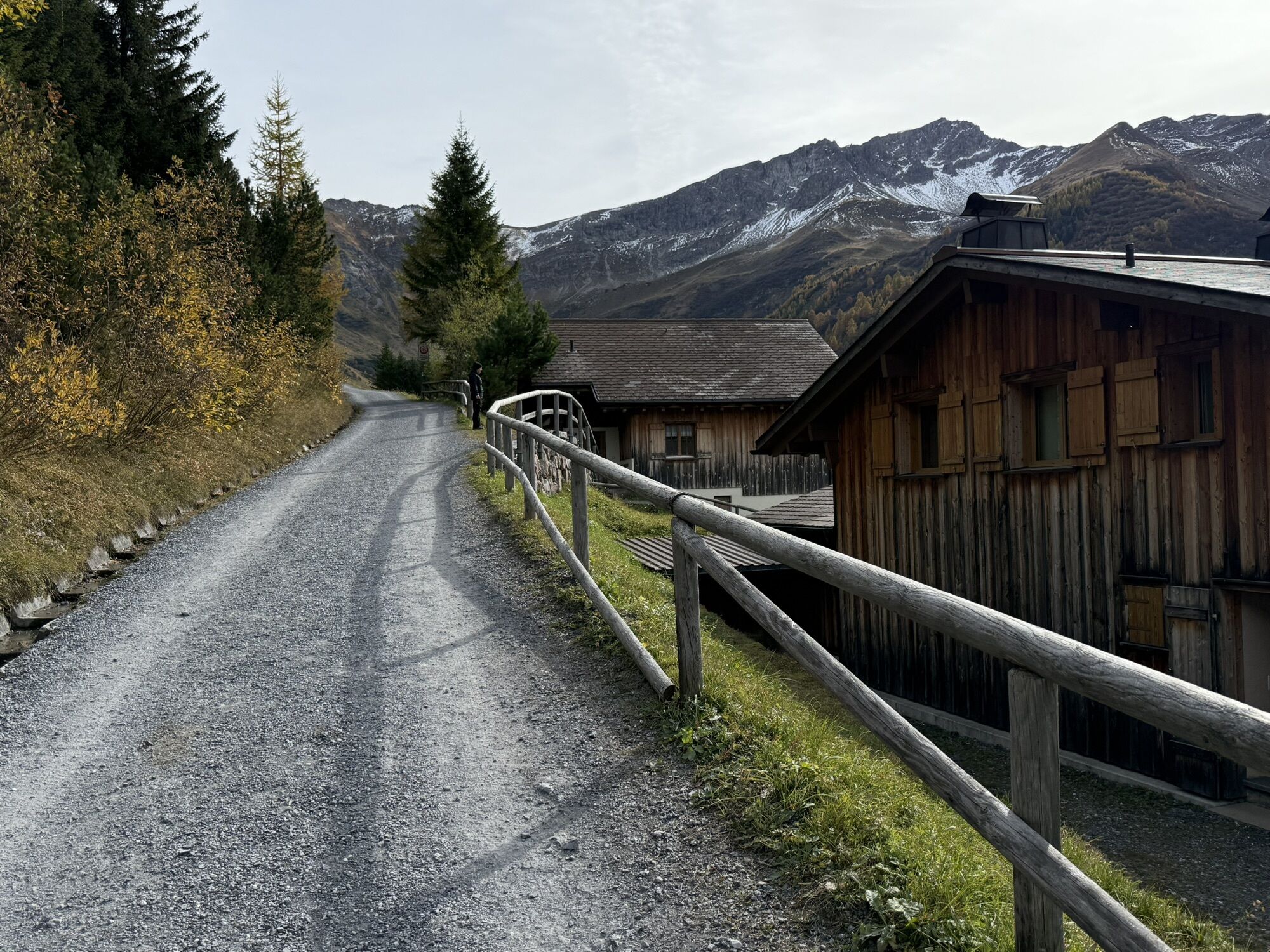
To embark on a route, careful planning is required. We recommend that you consult local information offices in advance about the trails and weather conditions. Depending on the season and weather conditions, this route may be closed or interrupted.
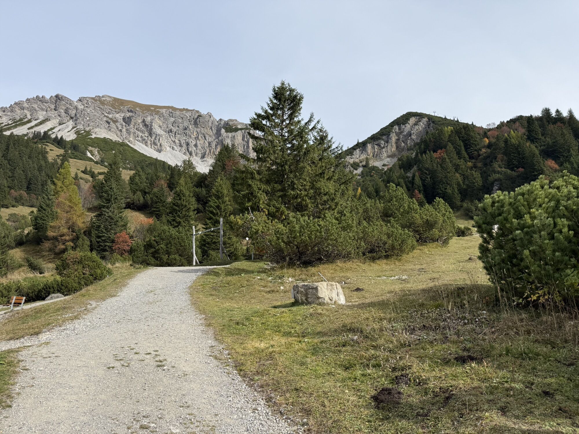
Next bus stop: Malbun, Jöraboda (directly at the starting point)
Free parking is possible at parking lots P1 - P4.
Parking garage is chargeable
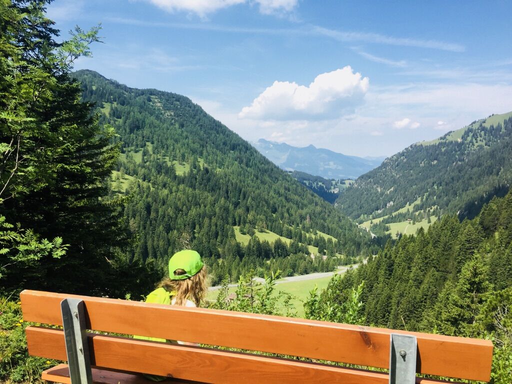
At the highest point, Sass-Seelein, a barbecue area invites you to take a break.
Kamery internetowe z trasy
Popularne wycieczki w okolicy
-
5,0
Bürs, Bürserschlucht Bürs, Vorarlberg
średniWędrówka 5,31 km -
4,9
Douglasshütte, Lünersee, Gafalljoch Brand bei Bludenz, Vorarlberg
światłoWędrówka 9,16 km -
4,6
To the summit cross of the Alpspitz
średniWędrówka 6,02 km -
4,1
Mondspitze (Montspitze)
średniWędrówka 7,97 km -
3,7
Fürstin-Gina-Weg
Wędrówka 10,7 km -
3,8
Sassweg - von Malbun zum Sass-Seelein
Wędrówka 4,14 km -
4,8
From Malbun to the Schönberg
średniWędrówka 12,4 km -
4,8
Douglashütte - Schesaplana
średniWędrówka 7,31 km -
4,7
Alvier
średniWędrówka 3,33 km -
3,6
Fürstensteig-Drei Schwestern
Wędrówka 12,9 km
Wędrówki i tropienie


Nie przegap ofert i inspiracji na następne wakacje
Twój adres e-mail została dodana do listy mailingowej.