


Pfälzerhütte route
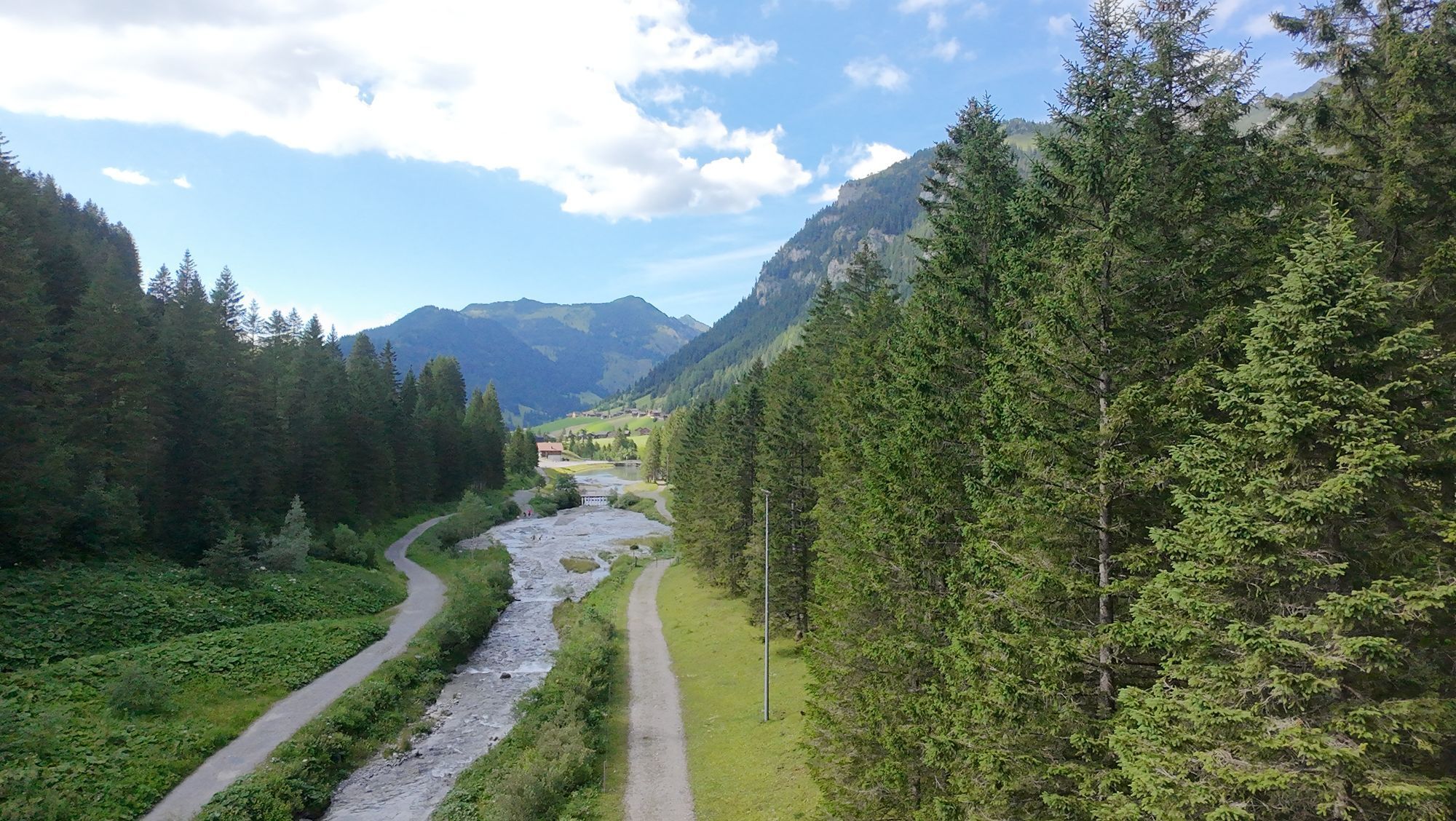
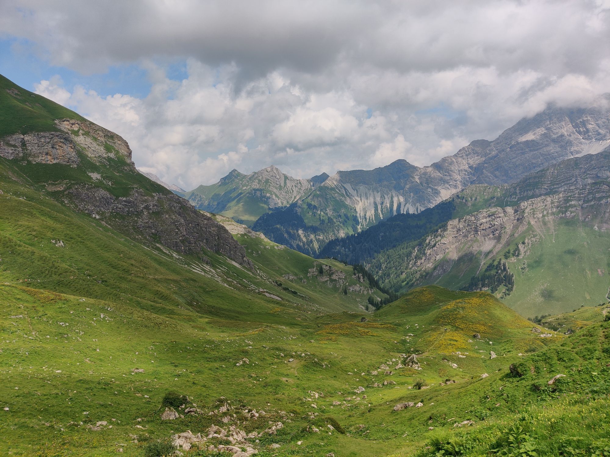
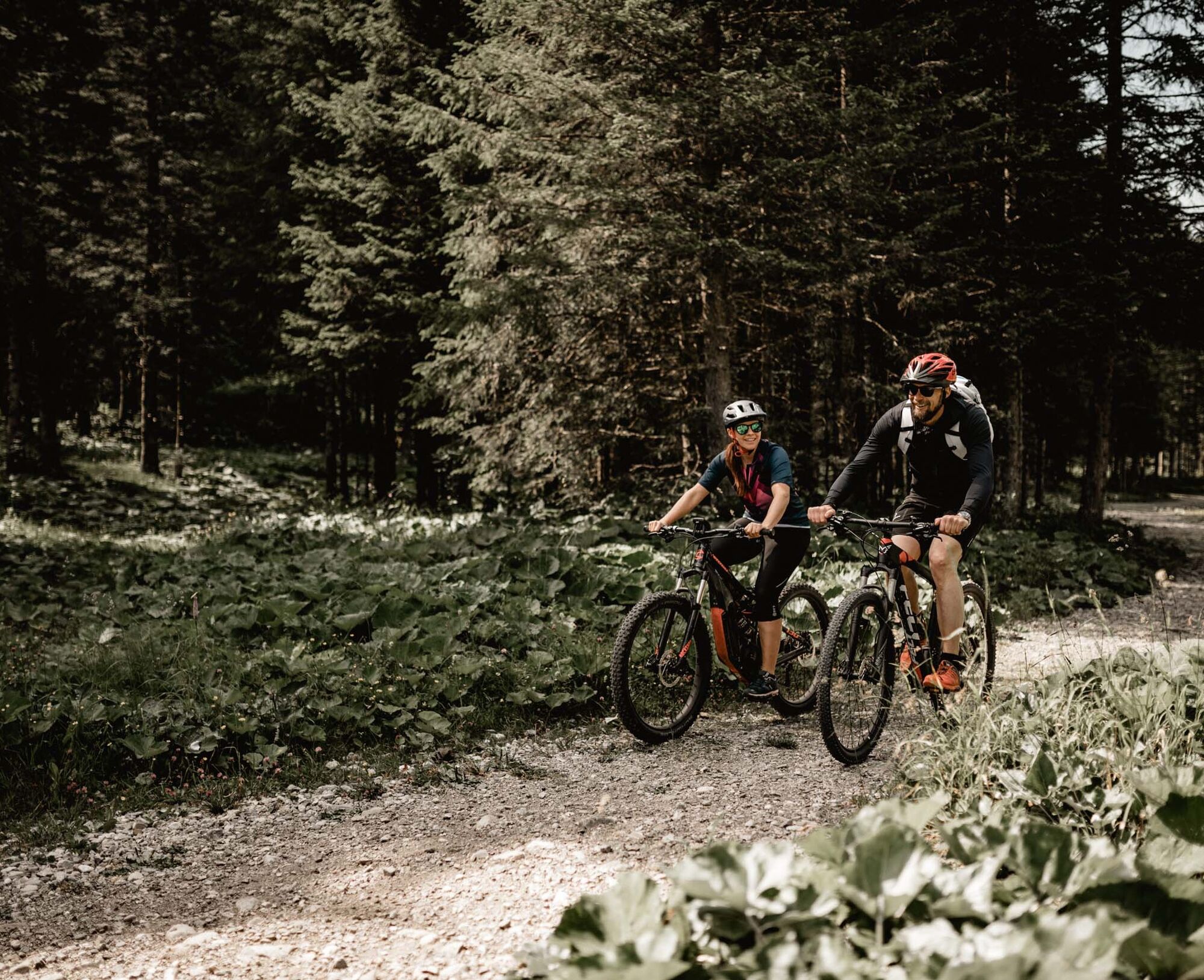
The route starts at the two hut crossroads in Steg and initially leads with only a slight incline into the Valüna valley. Behind the alpine buildings, the incline increases towards Alp Gritsch and from...
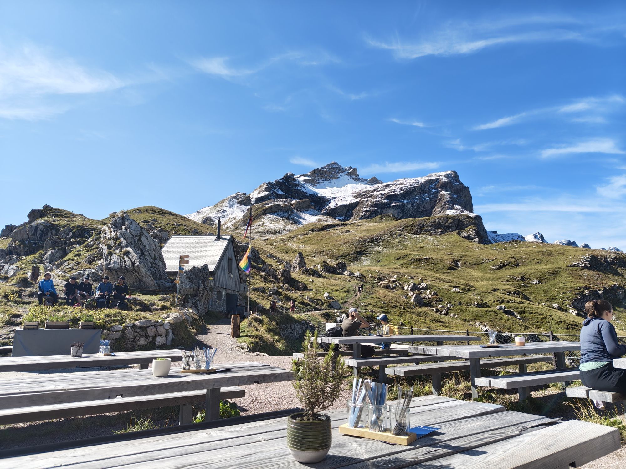
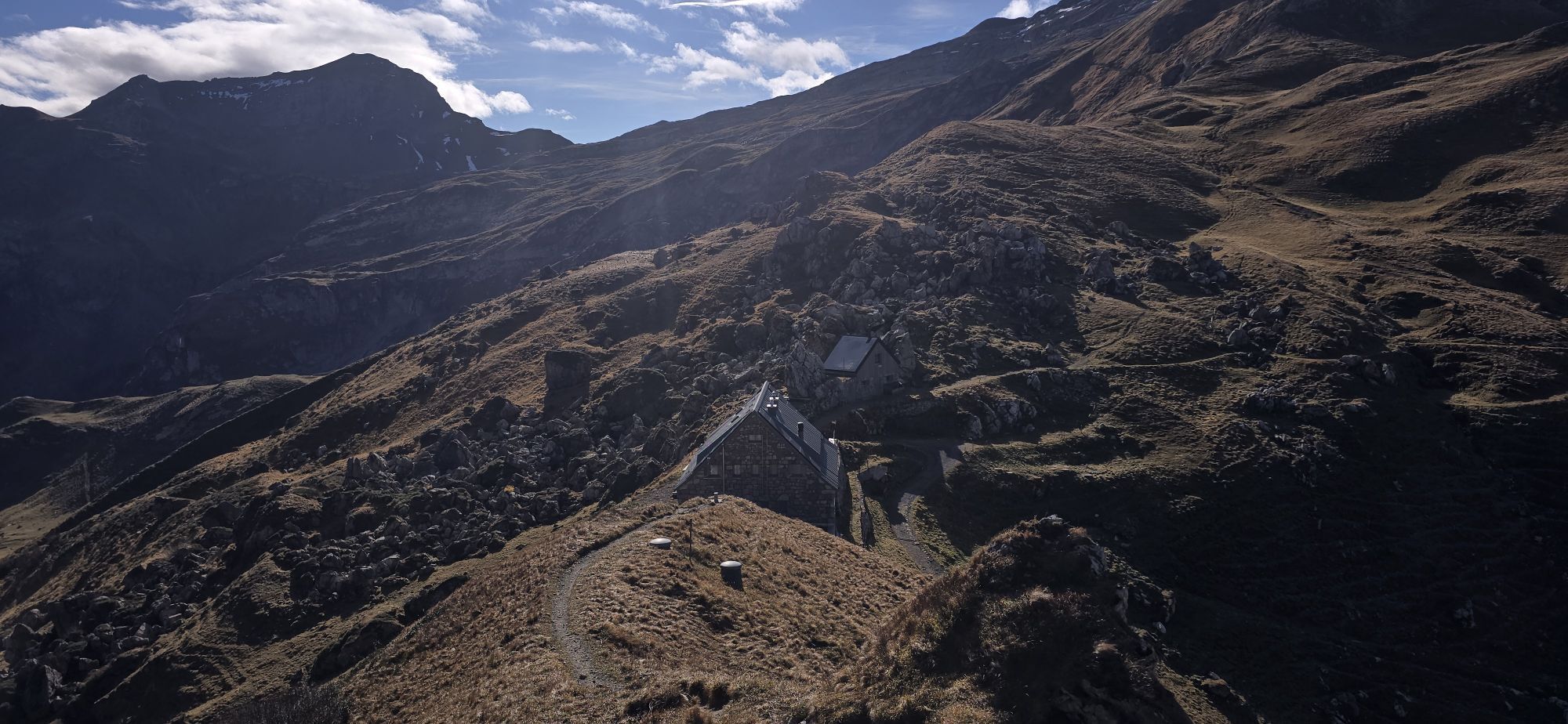
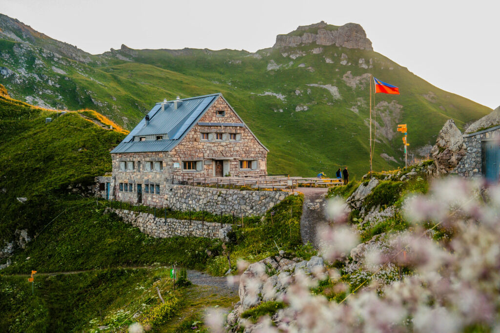
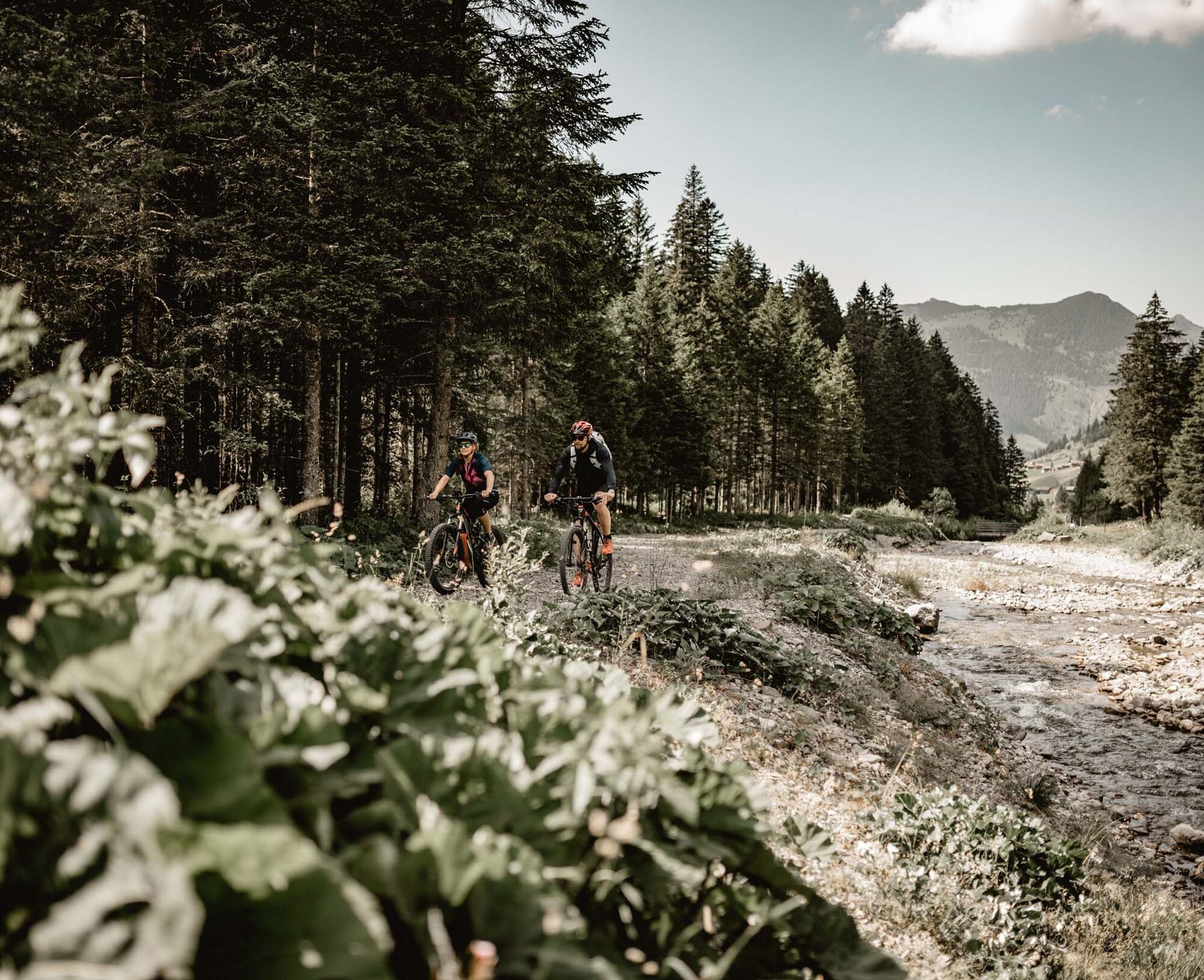
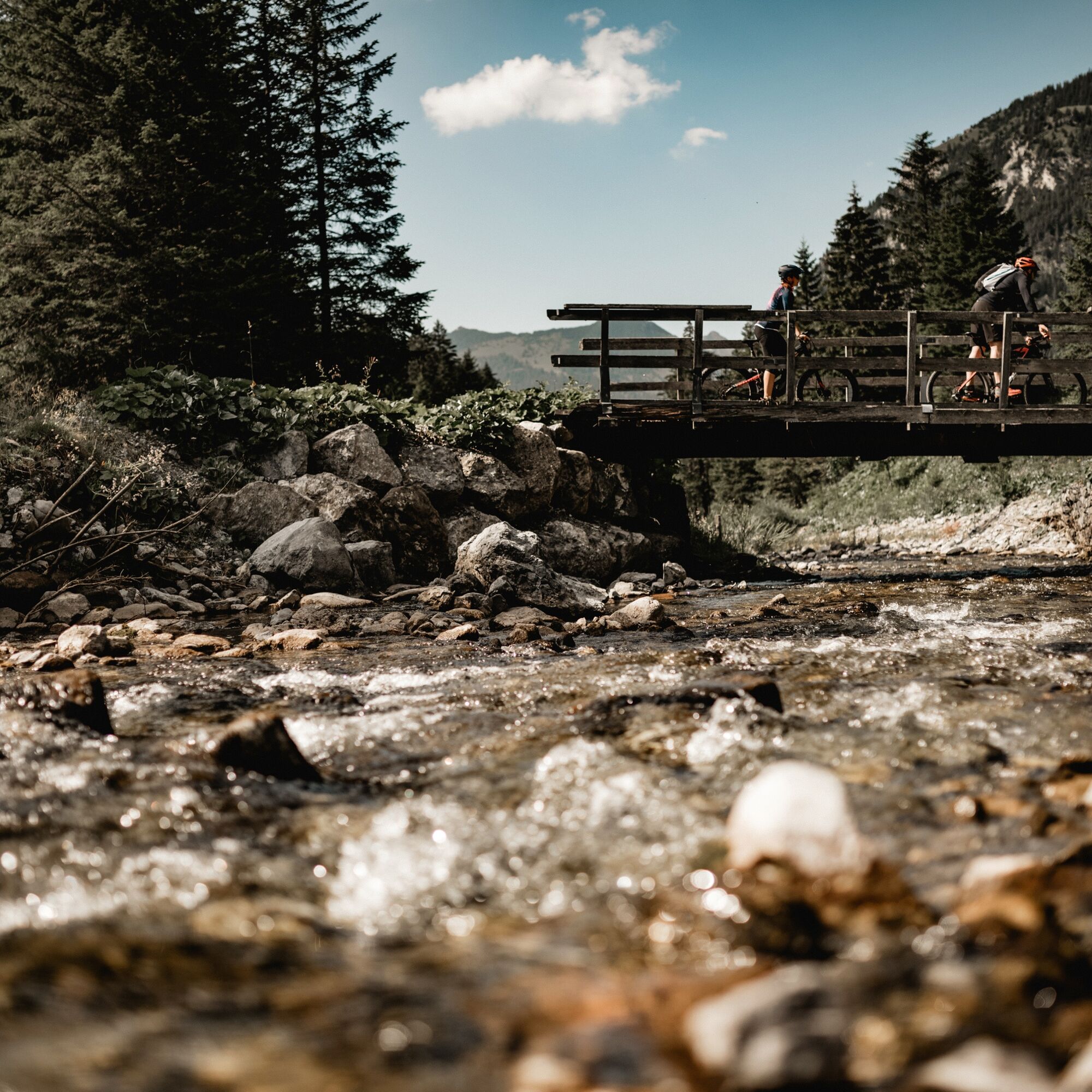
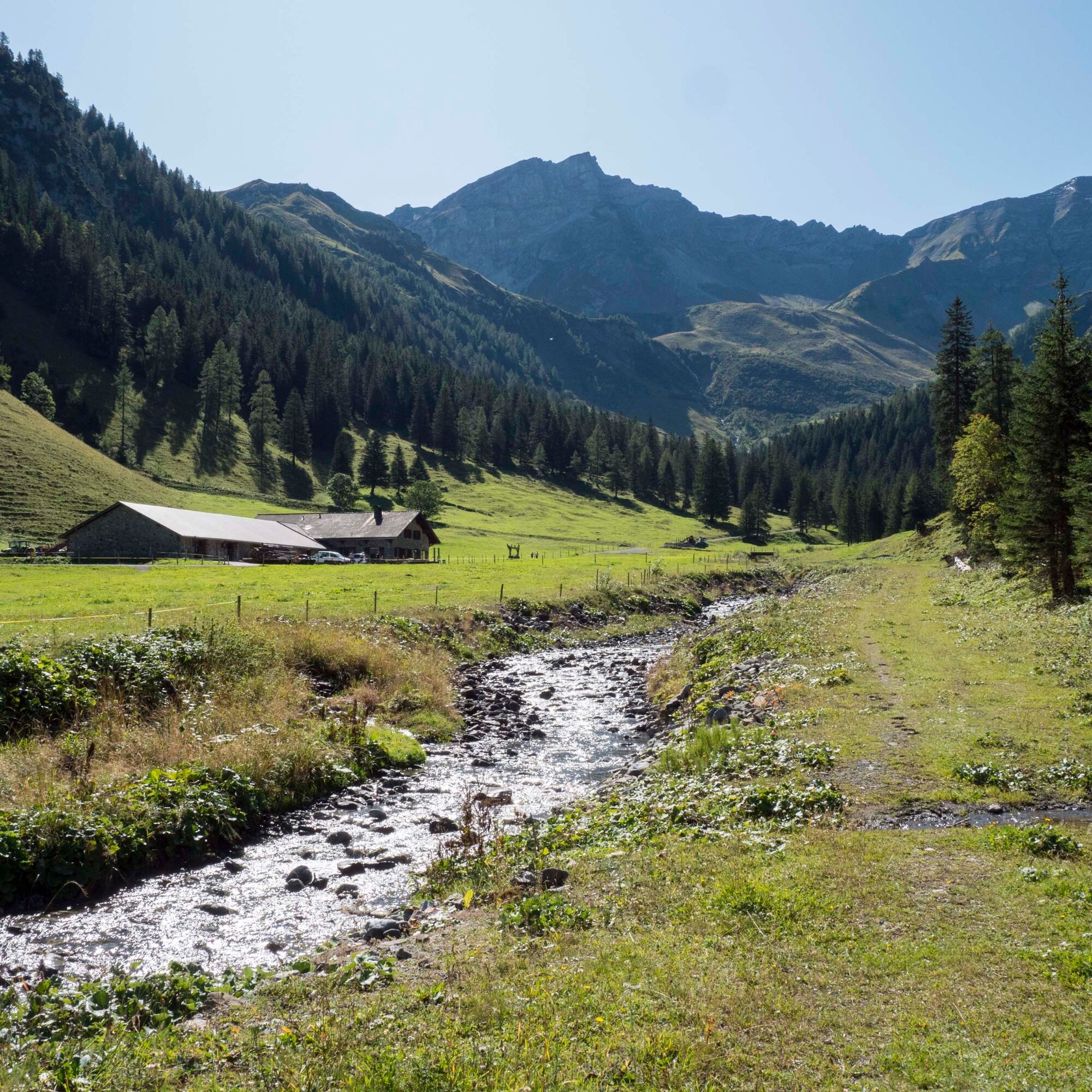
The route starts at the two hut crossroads in Steg and initially leads with only a slight incline into the Valüna valley. Behind the alpine buildings, the incline increases towards Alp Gritsch and from there onwards to the Pfälzerhütte. The ascent shortly after passing the Gritscher alpine huts is challenging and only manageable for experienced bikers. As a reward, a view of the impressive mountain scenery awaits at the height. This can be enjoyed even better in the inn of the Alpine Club hut. The descent back to Steg follows the same route, which consists entirely of natural roads.

Steg - Valüna - Gritsch - Pfälzerhütte
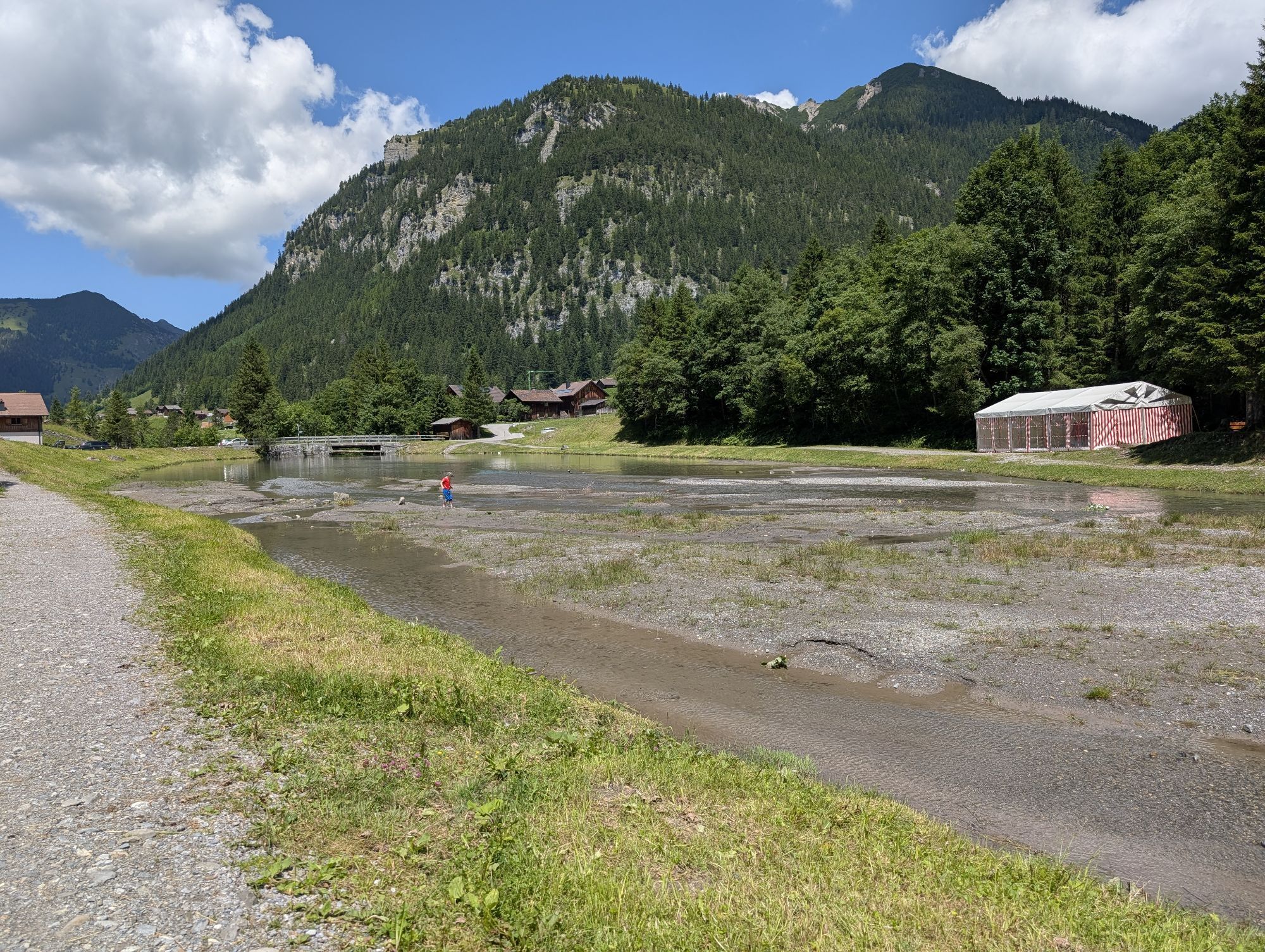
In Steg there is plenty of parking available in the car park after the tunnel.
Food options at Alp Valüna (May - mid October), food and overnight options at the Pfälzerhütte (approx. mid June - early October)


Popularne wycieczki w okolicy
- 4,2
Mondspitze (Montspitze)
średniWędrówka 7,97 km - 5,0
Douglasshütte, Lünersee, Gafalljoch Brand bei Bludenz, Vorarlberg
światłoWędrówka 9,16 km - 3,8
Sassweg - von Malbun zum Sass-Seelein
Wędrówka 4,14 km - 3,7
Fürstin-Gina-Weg
Wędrówka 10,7 km - 4,6
To the summit cross of the Alpspitz
światłoWędrówka 6,27 km - 4,8
Douglashütte - Schesaplana
średniWędrówka 7,31 km - 4,8
From Malbun to the Schönberg
średniWędrówka 12,4 km - 4,6
Pizalun circular route
światłoWędrówka 7,18 km - 4,6
Tamina Gorge Circular Route
średniWędrówka 14,0 km - 3,5
Fürstensteig-Drei Schwestern
Wędrówka 12,9 km
Wędrówki i tropienie


Nie przegap ofert i inspiracji na następne wakacje
Twój adres e-mail została dodana do listy mailingowej.