





Route to Regitzer Spitz
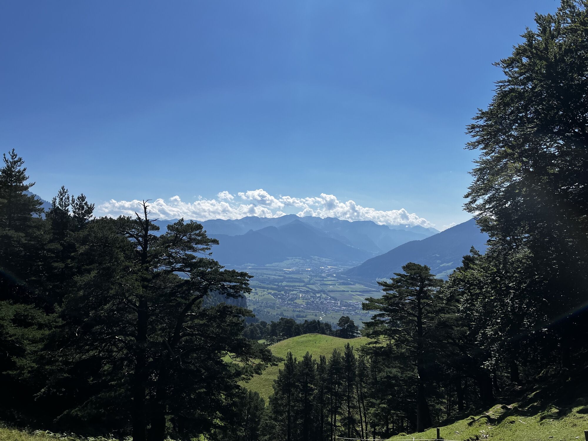
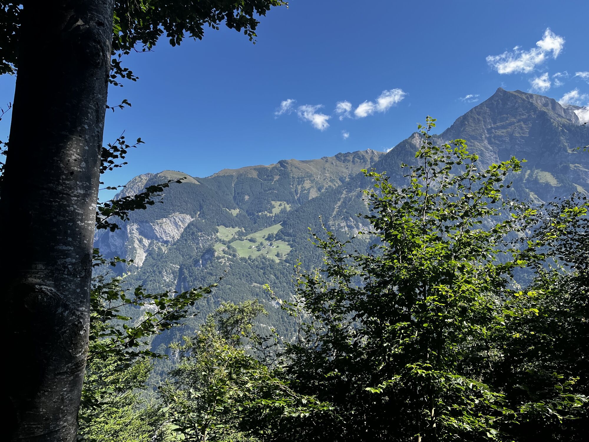
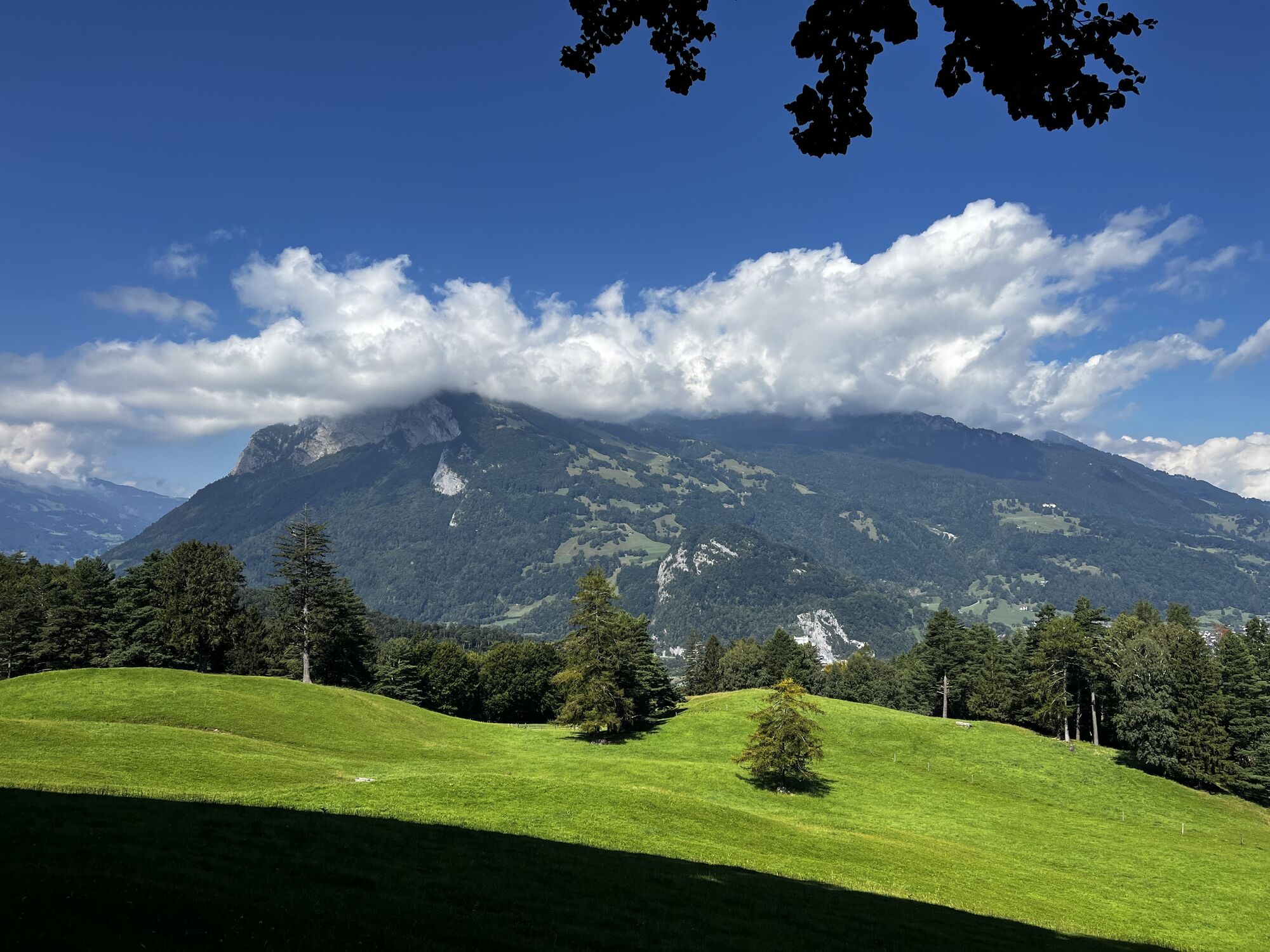
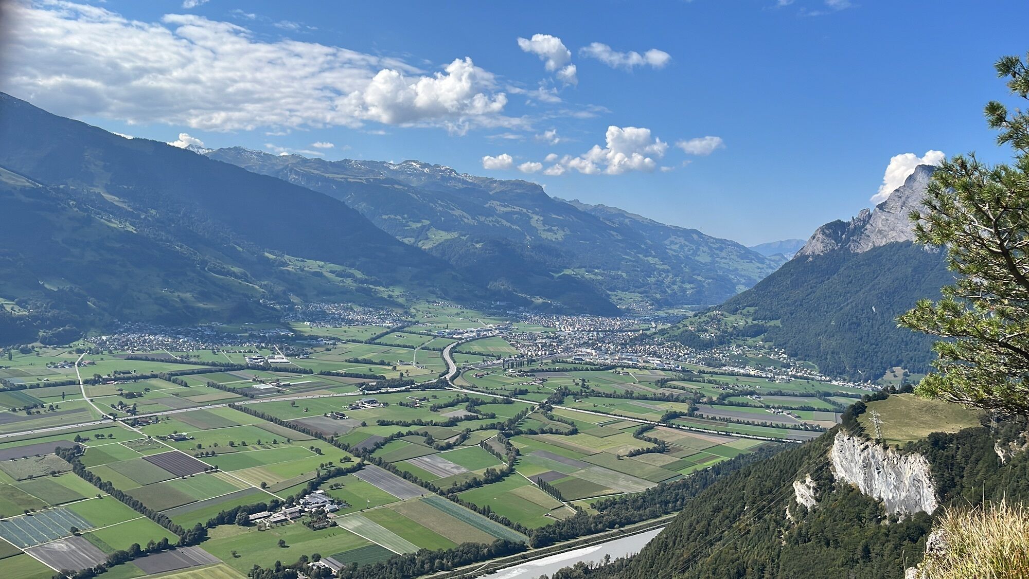
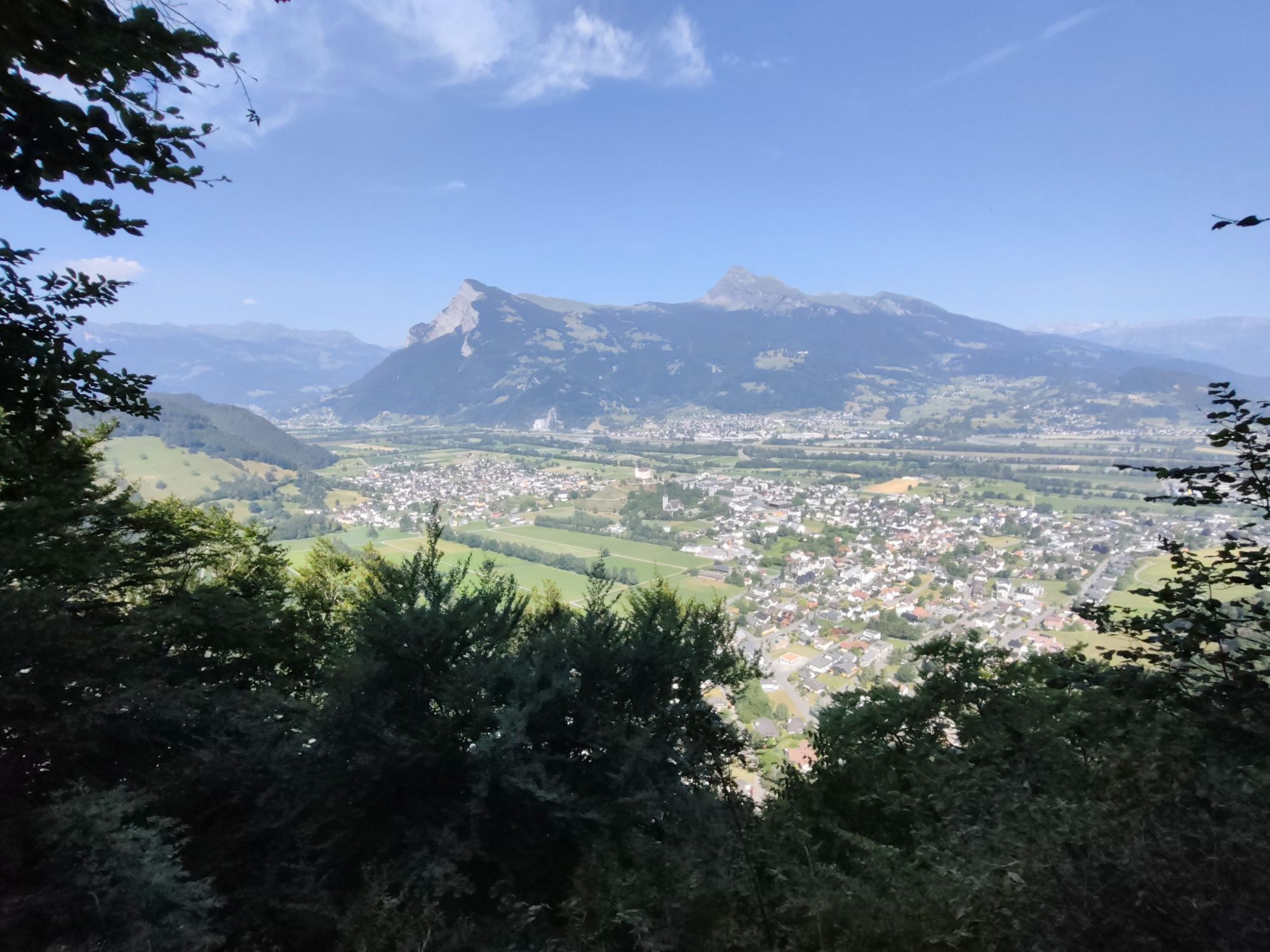
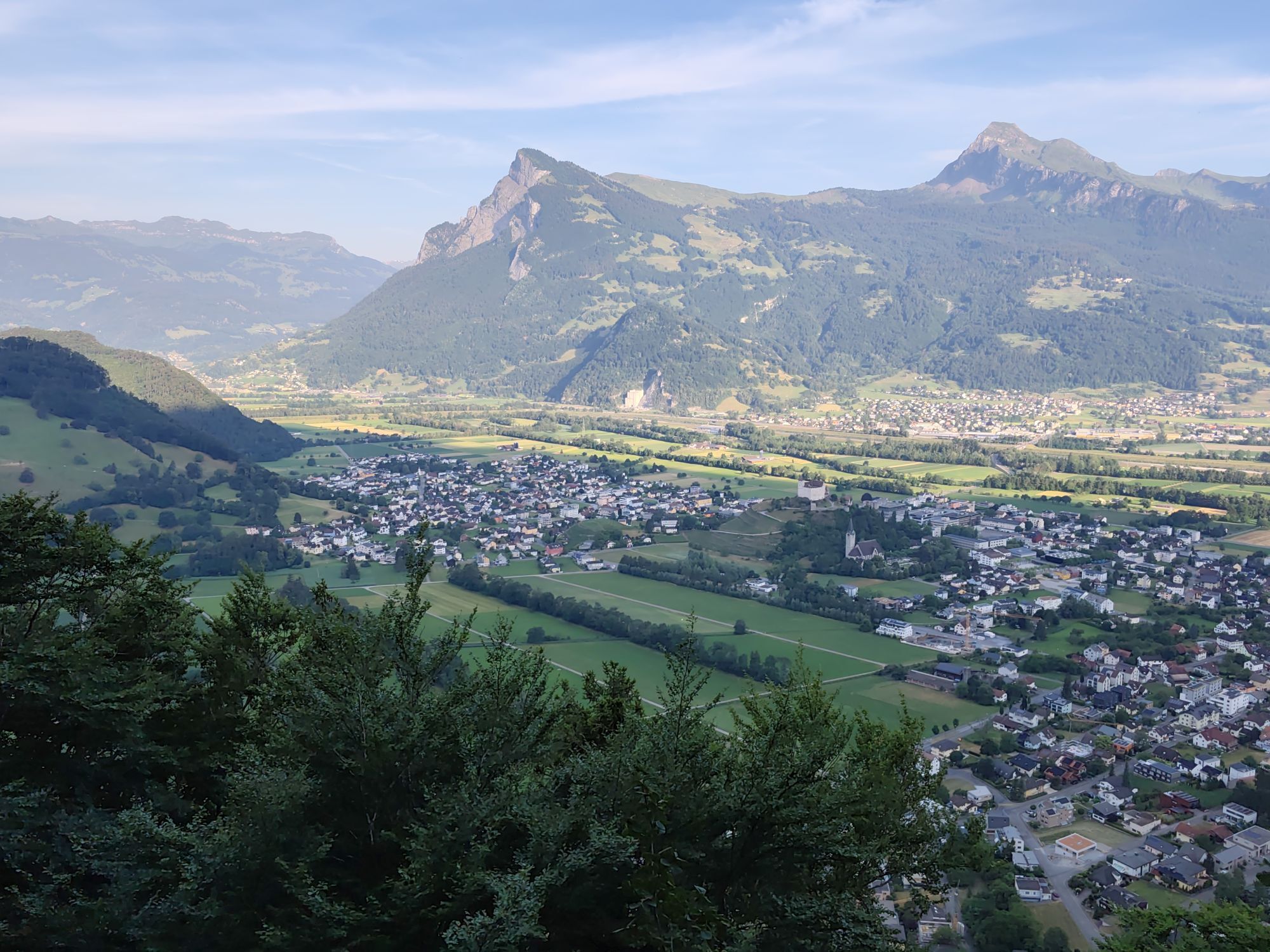
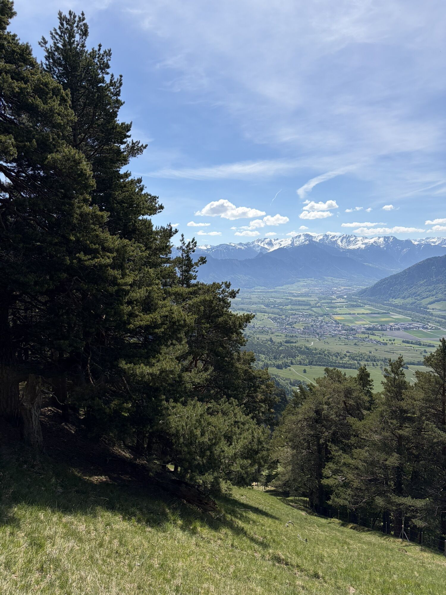
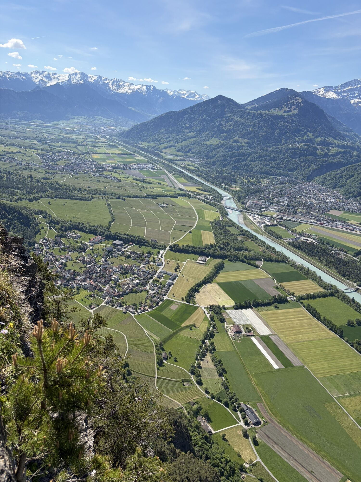
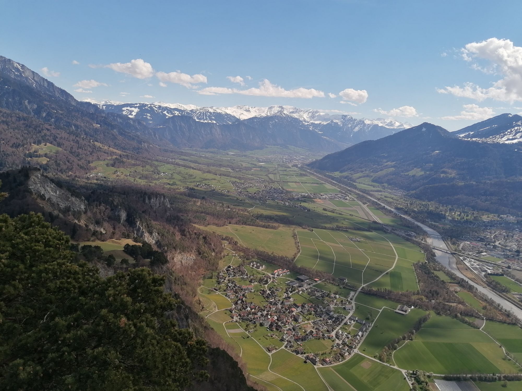
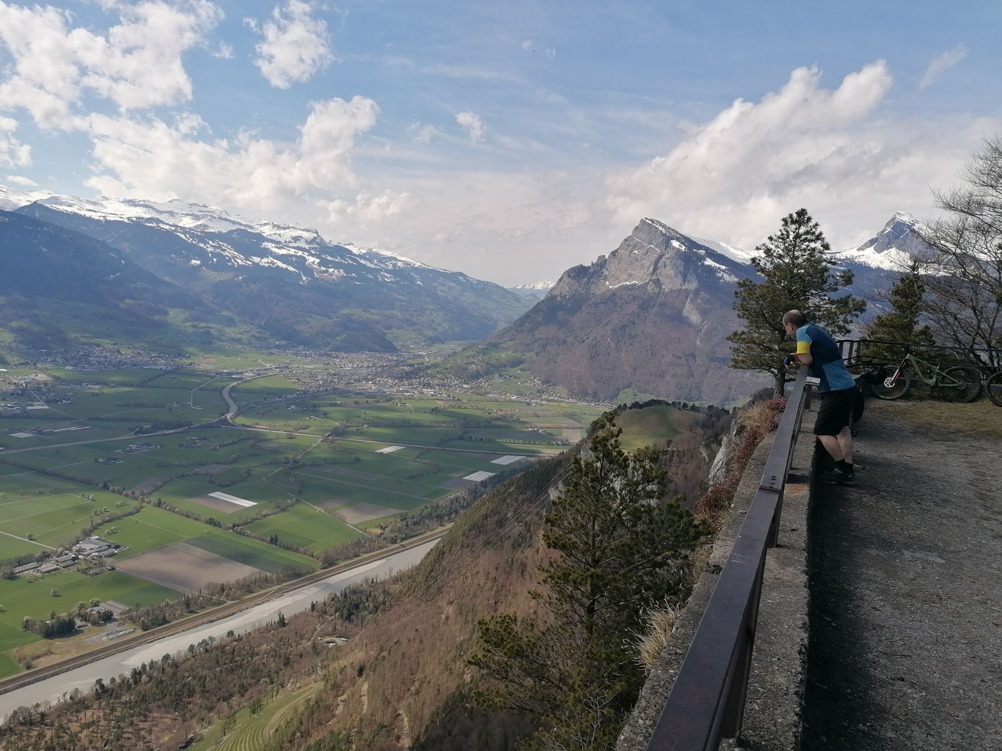
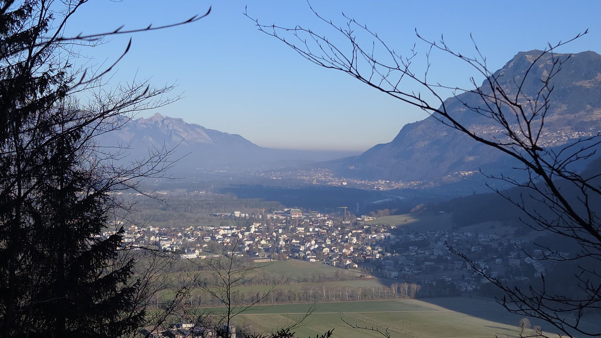

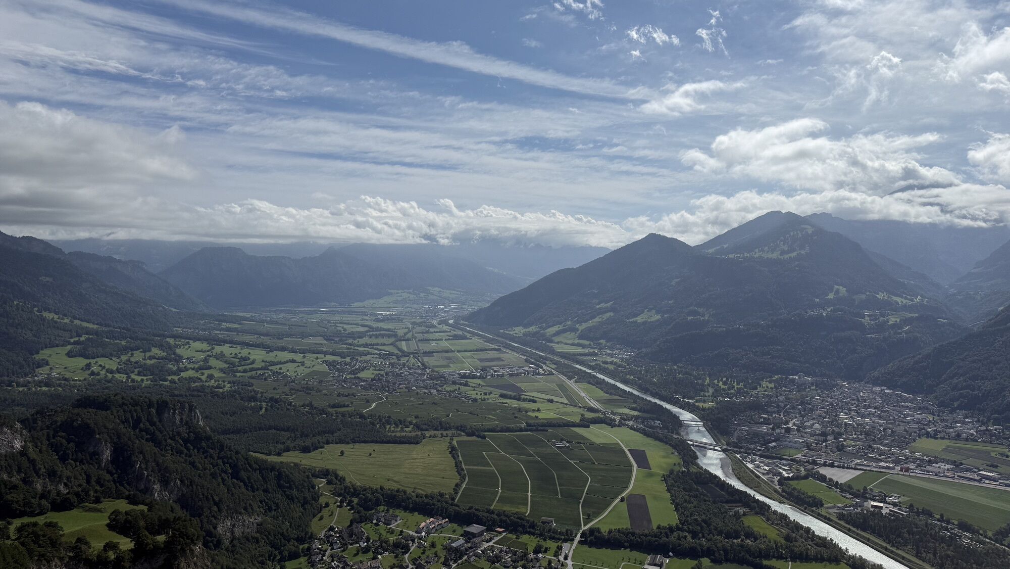

After the climb from Balzers to Ans (And), a descent to the Steigwiesen is completed to change the valley side there. The route then climbs through woods, passes by the ruin Mörderburg, and over the meadows...
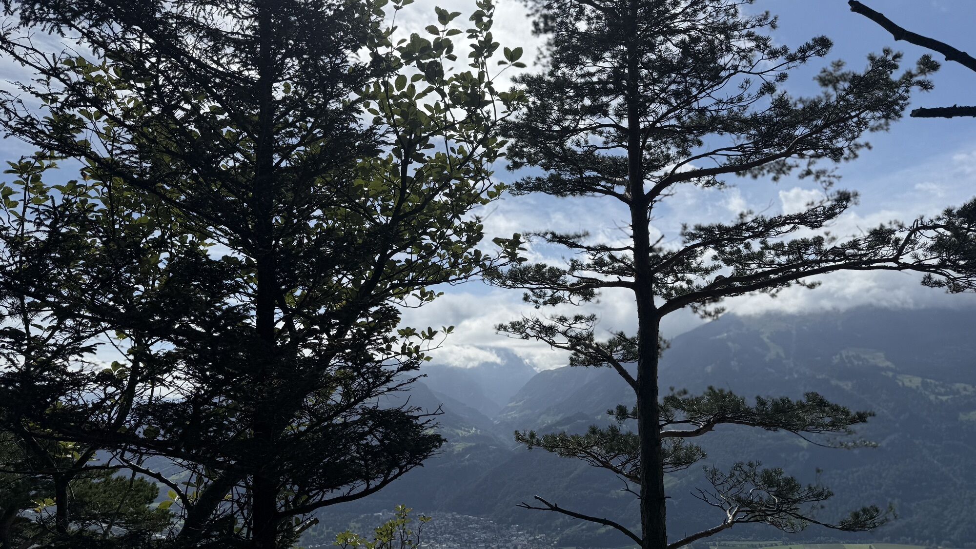
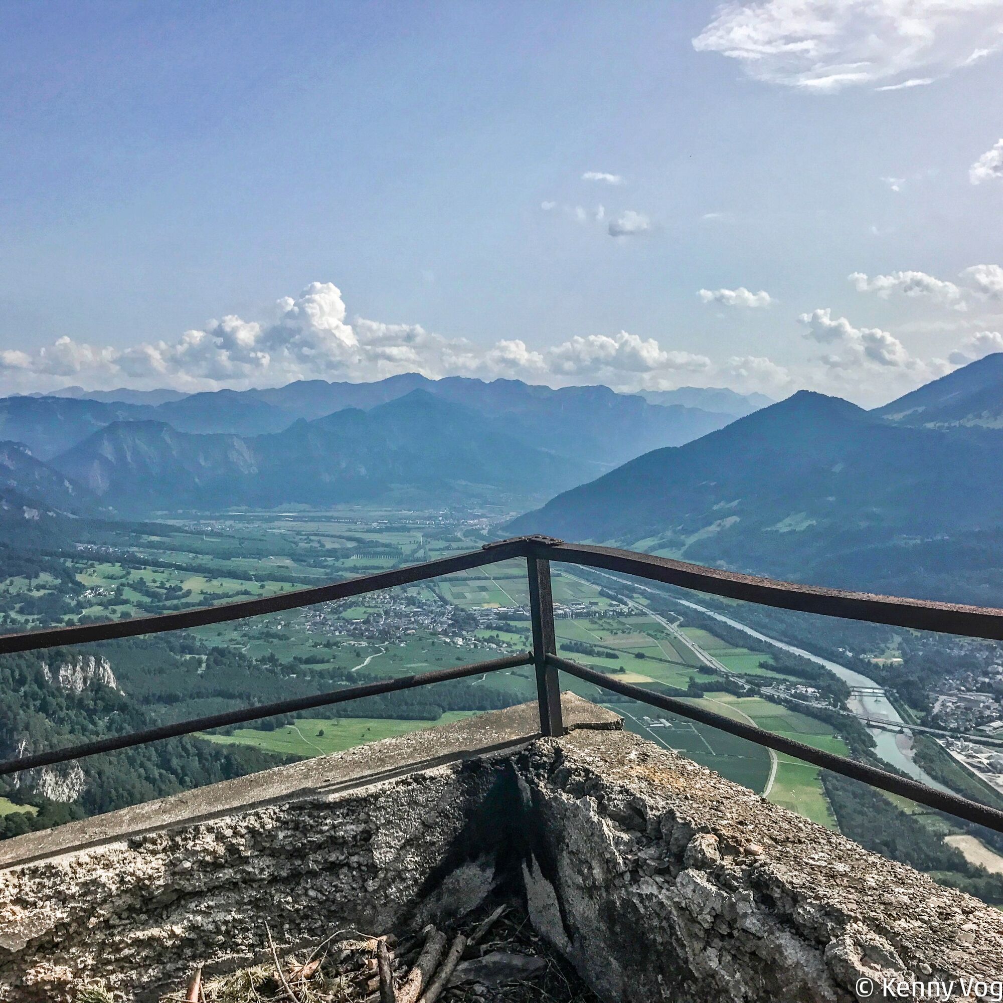
After the climb from Balzers to Ans (And), a descent to the Steigwiesen is completed to change the valley side there. The route then climbs through woods, passes by the ruin Mörderburg, and over the meadows of Matheid. In the forest, it goes up to Regitzer Spitz, where a fantastic panoramic view rewards the effort. The return route goes via Matheid to Mäls. On a consistent descent, the starting point of the route is soon reached.
The route partly runs over military training grounds. The corresponding signals must be observed.


Balzers - Steigwiesen - Regitzer Spitz - Mäls - Balzers
Tak
 Uzyskaj wgląd
Zawsze na żywo z ponad 9 500 kamer internetowych. bergfex Jako użytkownik Pro, możesz teraz zobaczyć odpowiednie kamery internetowe dla wielu wycieczek w aplikacji wycieczki od. Pozwala to na bezpośredni podgląd aktualnych warunków.
Uzyskaj wgląd
Zawsze na żywo z ponad 9 500 kamer internetowych. bergfex Jako użytkownik Pro, możesz teraz zobaczyć odpowiednie kamery internetowe dla wielu wycieczek w aplikacji wycieczki od. Pozwala to na bezpośredni podgląd aktualnych warunków.
Popularne wycieczki w okolicy
-
3,7
Fürstin-Gina-Weg
Wędrówka 10,7 km -
4,6
To the summit cross of the Alpspitz
średniWędrówka 6,02 km -
3,8
Sassweg - von Malbun zum Sass-Seelein
Wędrówka 4,14 km -
4,7
5-Seen Wanderung am Pizol
światłoWędrówka 10,1 km -
4,9
From Malbun to the Schönberg
średniWędrówka 12,4 km -
4,7
Tamina Gorge Circular Route
średniWędrówka 14,0 km -
4,6
Pizol - Batöni - Weisstannen
ciężkiWędrówka 11,7 km -
4,7
Alvier
średniWędrówka 3,33 km -
4,6
Pizalun circular route
światłoWędrówka 7,18 km -
4,7
Off to the Falknis
ciężkiWędrówka 18,2 km
Wędrówki i tropienie


Nie przegap ofert i inspiracji na następne wakacje
Twój adres e-mail została dodana do listy mailingowej.





