
From Truia to Stavoli di Orias and Sopravalle
światło
Pobierz tę trasę na swój telefon komórkowy
From Truia to Stavoli di Orias and Sopravalle
światło
Wędrówka
1,95
km
Zeskanuj kod QR i rozpocznij nawigację w aplikacji bergfex.


Wędrówki i tropienie





From Truia to Stavoli di Orias and Sopravalle
światło
Odległość
1,95
km
Czas trwania
00:55
h
Ascent
250
hm
Poziom morza
887 -
1 144
m

Nawiguj po trasie w aplikacji
Zainstaluj aplikację za darmo i śledź trasę dzięki nawigacji GPS i funkcji śledzenia.
Skorzystaj już teraz z funkcji „ bergfex ” w aplikacji
Zeskanuj kod QR za pomocą aparatu
Po zainstalowaniu aplikacji treść otworzy się od razu. Jeśli jeszcze nie masz tej aplikacji, zostaniesz przekierowany do strony, z której możesz ją bezpłatnie pobrać.
Poziom trudności: T1
Ścieżka do pobrania
From Truia to Stavoli di Orias and Sopravalle
światło
Wędrówka
1,95
km
The route begins in the hamlet of Truia, in Val Pesarina, which can be reached by car via a narrow, passable road. From the parking lot , follow the signs for the Stavoli di Orias along a paved road that...
Opis
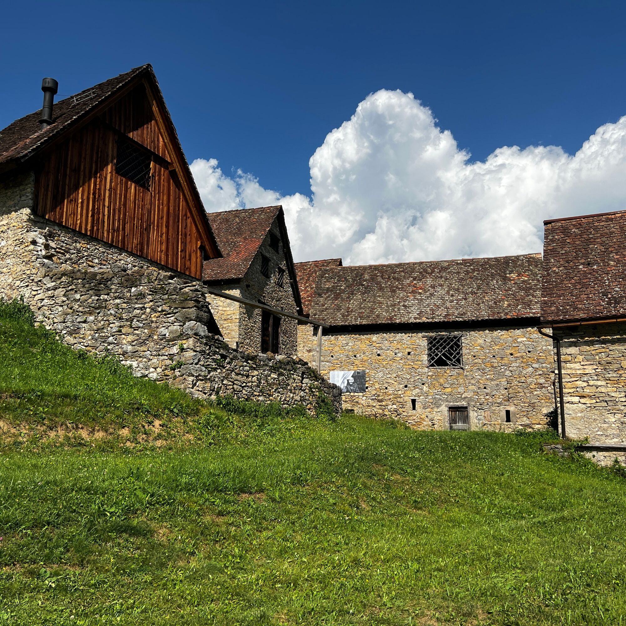
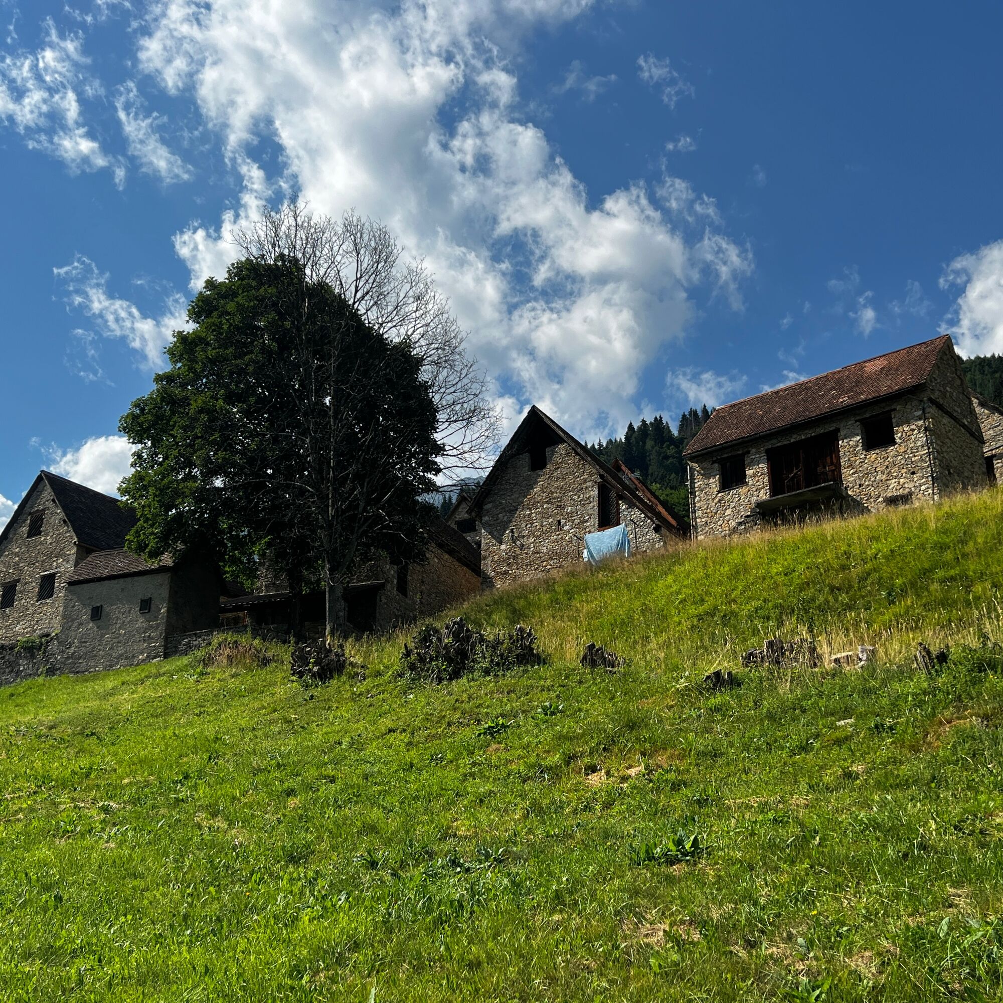
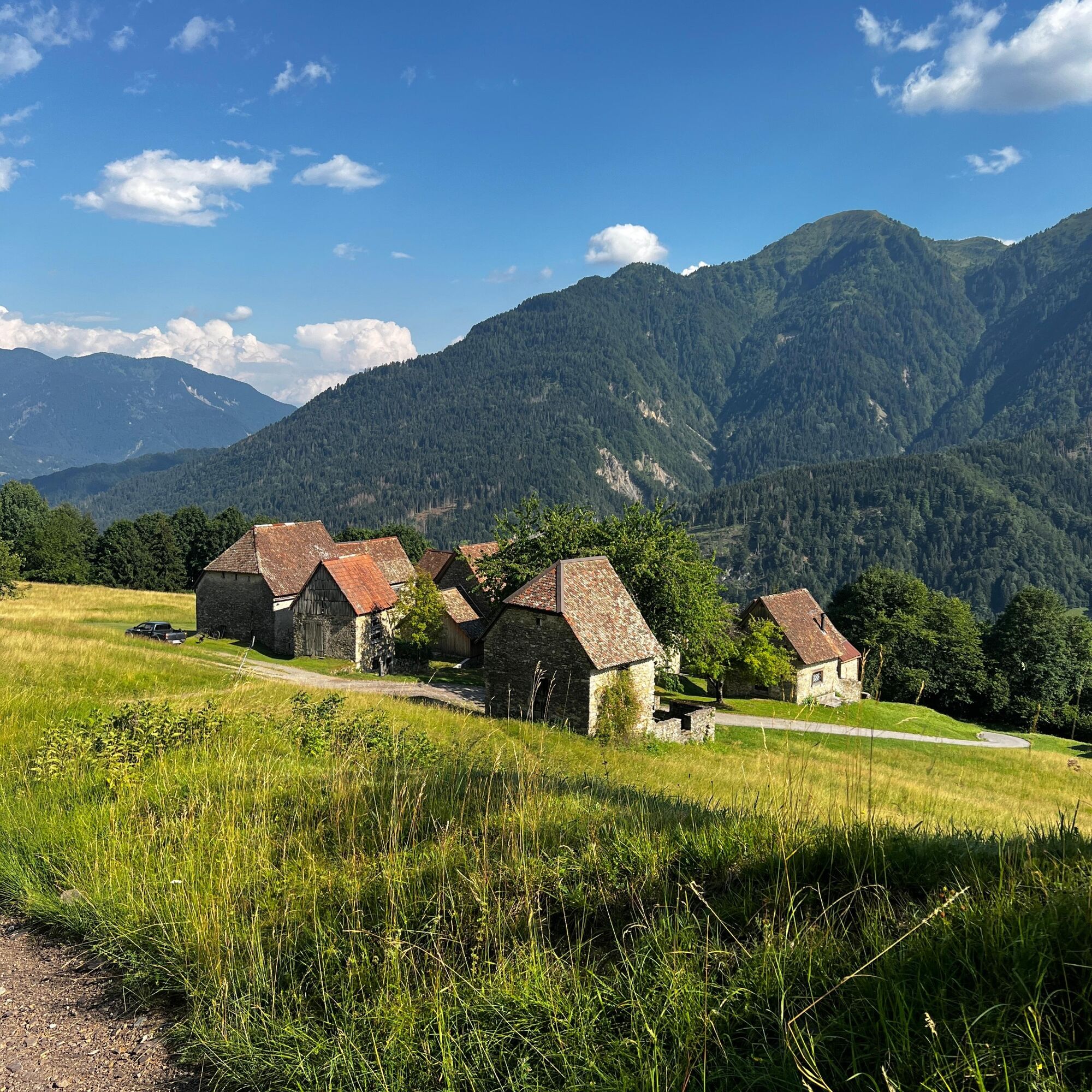
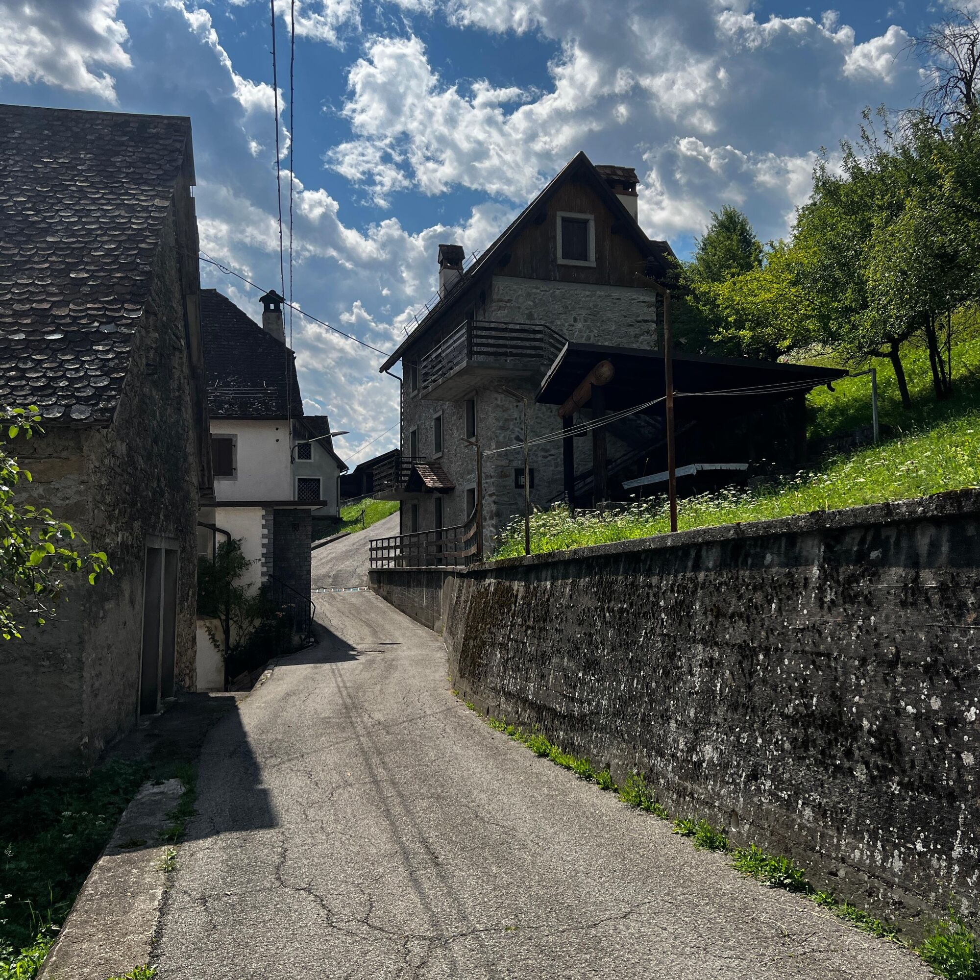
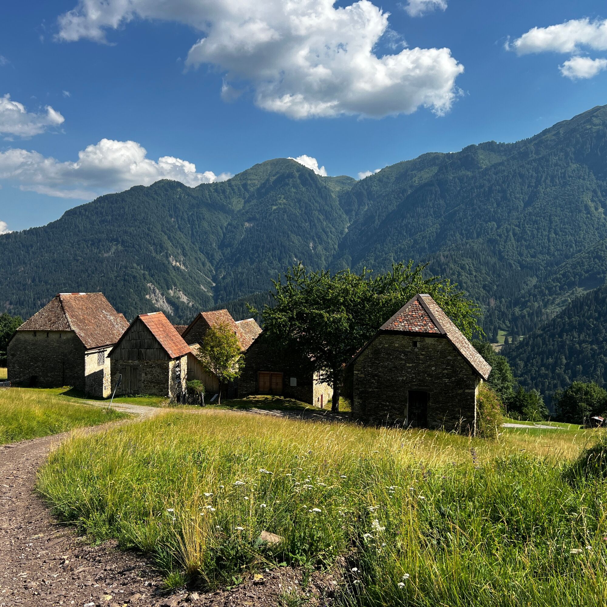
The route begins in the hamlet of Truia, in Val Pesarina, which can be reached by car via a narrow, passable road. From the parking lot , follow the signs for the Stavoli di Orias along a paved road that climbs steadily and leads to the destination in about twenty minutes. The village, situated in a panoramic location, consists of twelve “stavoli”—traditional rural buildings typical of Carnia that were once used as temporary shelters during the summer grazing season. Today, many of these buildings have been skillfully restored, preserving the charm of their traditional architecture. At the end of the village, take the forest road on the left—which is unmarked—that winds through the woods and leads to the Stavoli di Sopravalle in about thirty more minutes . This small rural settlement consists of four buildings—two restored and two still in their original state—nestled in the tranquility of nature.
Trasa
Truia / Truie
(884 m)
Sąsiedztwo
0,0 km
Stavoli Orias / I Stâi di Orias
(1 006 m)
Korytarz/teren
0,7 km
Trasa
From Truia to Stavoli di Orias and Sopravalle
światło
Wędrówka
1,95
km
Truia / Truie
(884 m)
Sąsiedztwo
0,0 km
Stavoli Orias / I Stâi di Orias
(1 006 m)
Korytarz/teren
0,7 km
Autor
Dostarczone przez Friuli Venezia Giulia
Wycieczkę From Truia to Stavoli di Orias and Sopravalle zapewnia outdooractive.com.


Informacje o trasie
Odpowiedni dla rodzin
Tak
Sprzęt
standard mountain clothing
Instrukcje bezpieczeństwa
There is a water fountain at Stavoli di Orias.
Caution: The road is rather narrow
.
Dodatkowe informacje i wskazówki
Poziom trudności
T1
Dodatkowe informacje
Option to park your car in the village of Truia (very few parking spaces)
Wskazówki
There is a picnic area at Stavoli di Sopravalle
Nie ma jeszcze recenzji
Popularne wycieczki w okolicy
-
4,5
Karnischer Höhenweg – Etappe 4: Hochweißsteinhaus – Wolayersee Hütte
ciężkidługodystansowy szlak pieszy 15,9 km -
4,7
Obergail - Obergailer Alm - Obergailer Lake - Enderberg hut - Source for Health & Peace - Madonna circular hiking route - Obergail
średniWędrówka 11,4 km -
4,9
Karnischer Hauptkamm - Hohe Warte 2.780m - Hike and Bike
ciężkiWycieczki górskie 19,5 km -
4,3
Mountain bike route from the Hubertus Chapel to the Wolayersee
ciężkiMountainbike 9,06 km -
3,7
Cellon-Stollen und Senza Confini auf den Cellon und Steinberger Weg zum Abstieg
średniVia ferrata 7,09 km -
5,0
Valentin-Wolayersee-Runde
średniWędrówka 12,4 km -
5,0
Frischenkofel
średniWędrówka 5,25 km -
4,5
03 Südalpenweg, 24. Etappe: Valentinalm - Wolayerseehütte
średnidługodystansowy szlak pieszy 9,63 km -
2,9
Wolayersee
średniWędrówka 7,90 km -
3,8
Oberst Gressel Klettersteig (C/D)
średniVia ferrata 3,17 km
Wędrówki i tropienie

Ponad 550.000 propozycji wycieczek, szczegółowe mapy i intuicyjny planer tras sprawiają, że aplikacja jest niezbędna dla wszystkich entuzjastów przyrody.

Nie przegap ofert i inspiracji na następne wakacje
Zapisz się do newslettera
Błąd
Wystąpił błąd. Spróbuj ponownie.
Dziękujemy za rejestrację
Twój adres e-mail została dodana do listy mailingowej.
Wycieczki po całej Europie
Austria
Szwajcaria
Niemcy
Włochy
Słowenię
Francja
Holandia
Belgia
Polska
Liechtenstein
Czechy
Słowacja
Hiszpania
Chorwacja
Bośnia i Hercegowina
Luksemburg
Andorra
Portugalia
Islandia
Wielka Brytania
Irlandia
Grecja
Albania
Macedonia Północna
Malta
Norwegia
Czarnogóra
Mołdawia
Kosowo
Węgry
San Marino
Rumunia
Estonia
Łotwa
Białoruś
Cypr
Litwa
Serbia
Bułgaria
Monako
Dania
Szwecja
Finlandia





