






Etappe 30: Alpina Antica Trail | ET30: San Pietro - Spilimbergo

Poziom trudności: T2
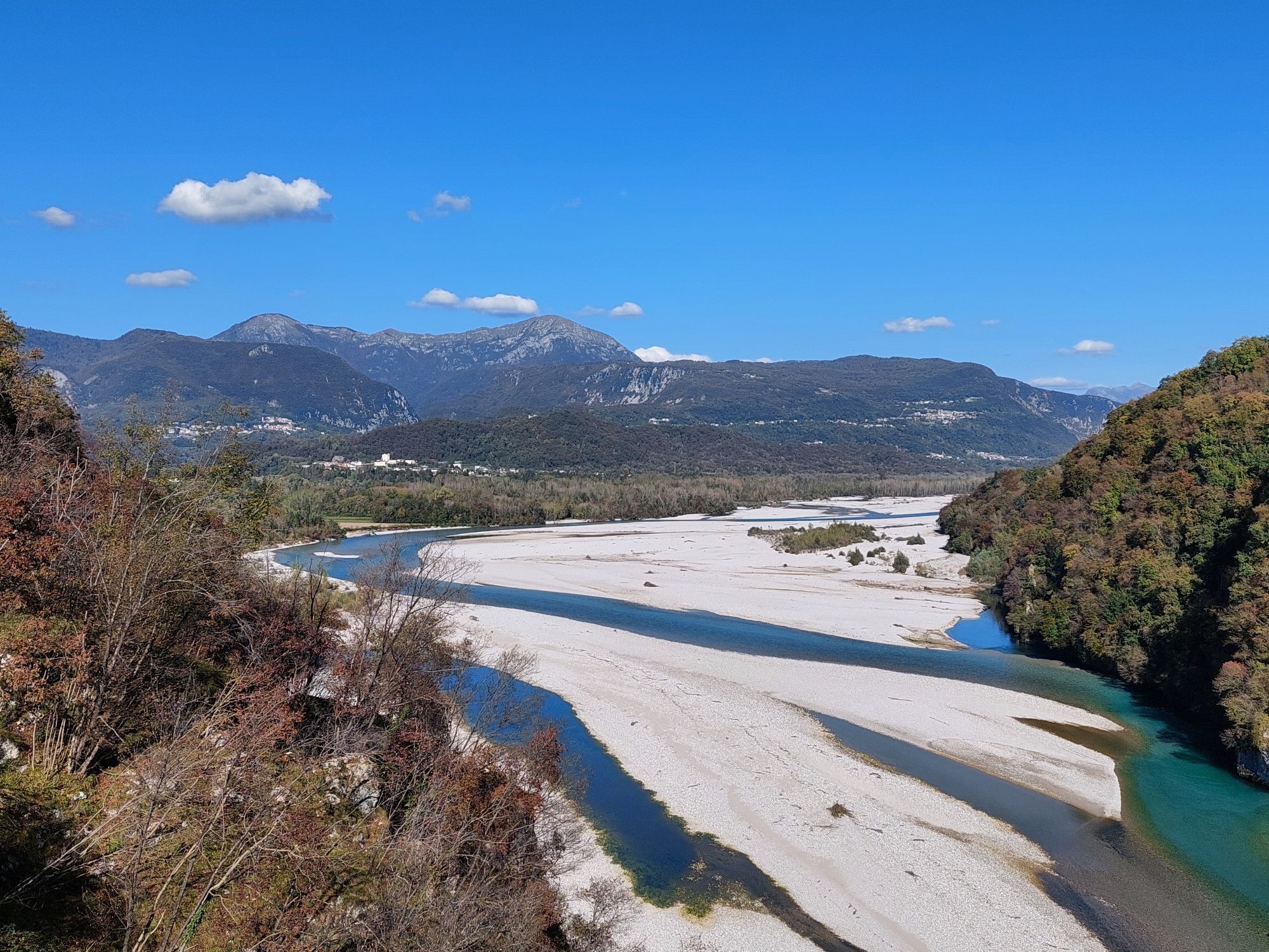
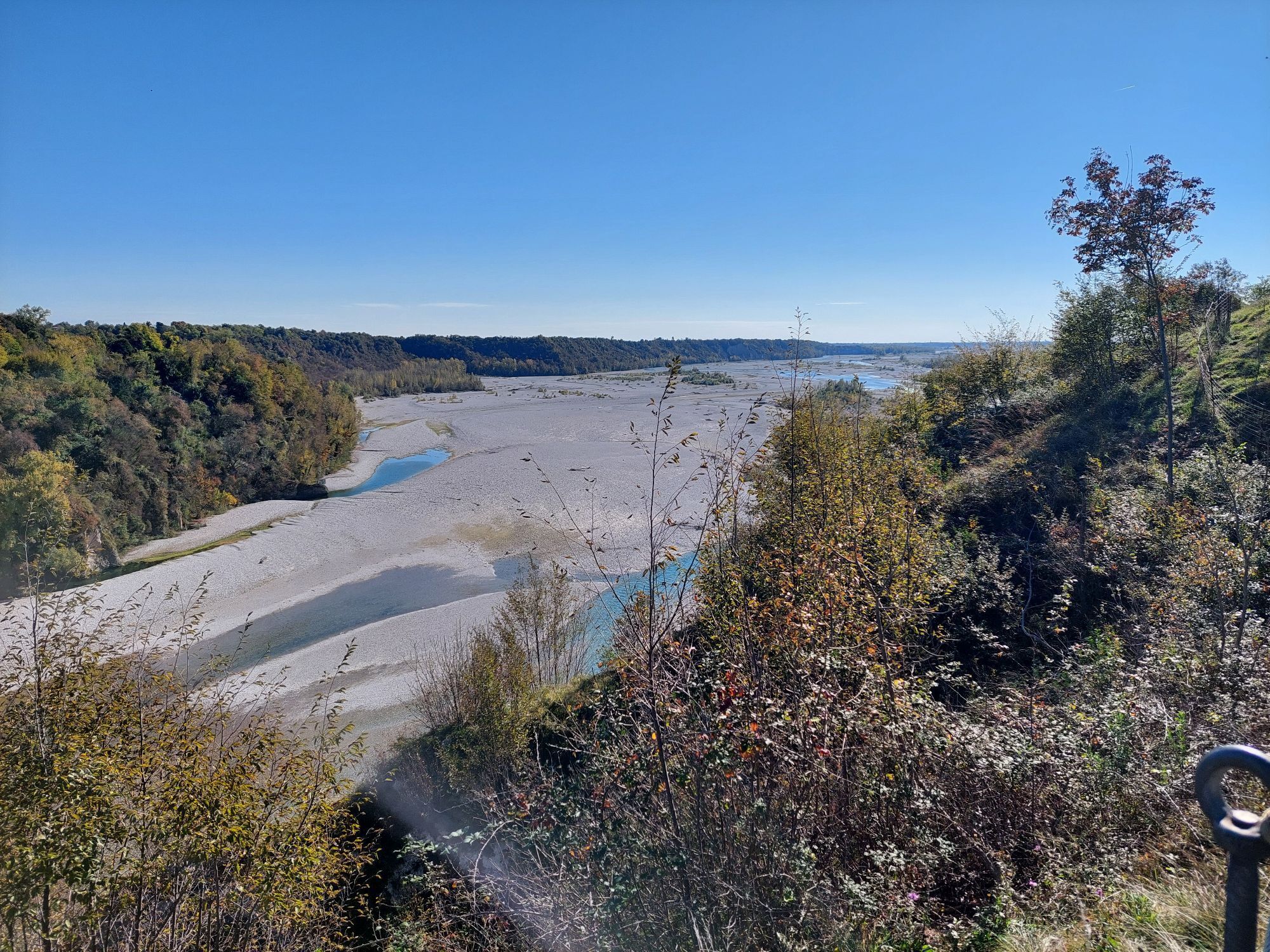
Through unspoilt forests and farmland to Spilimbergo, one of Friuli's historically important towns.
At the start of this stage in San Pietro, you leave the foothills of the Alps for good. In other words,...
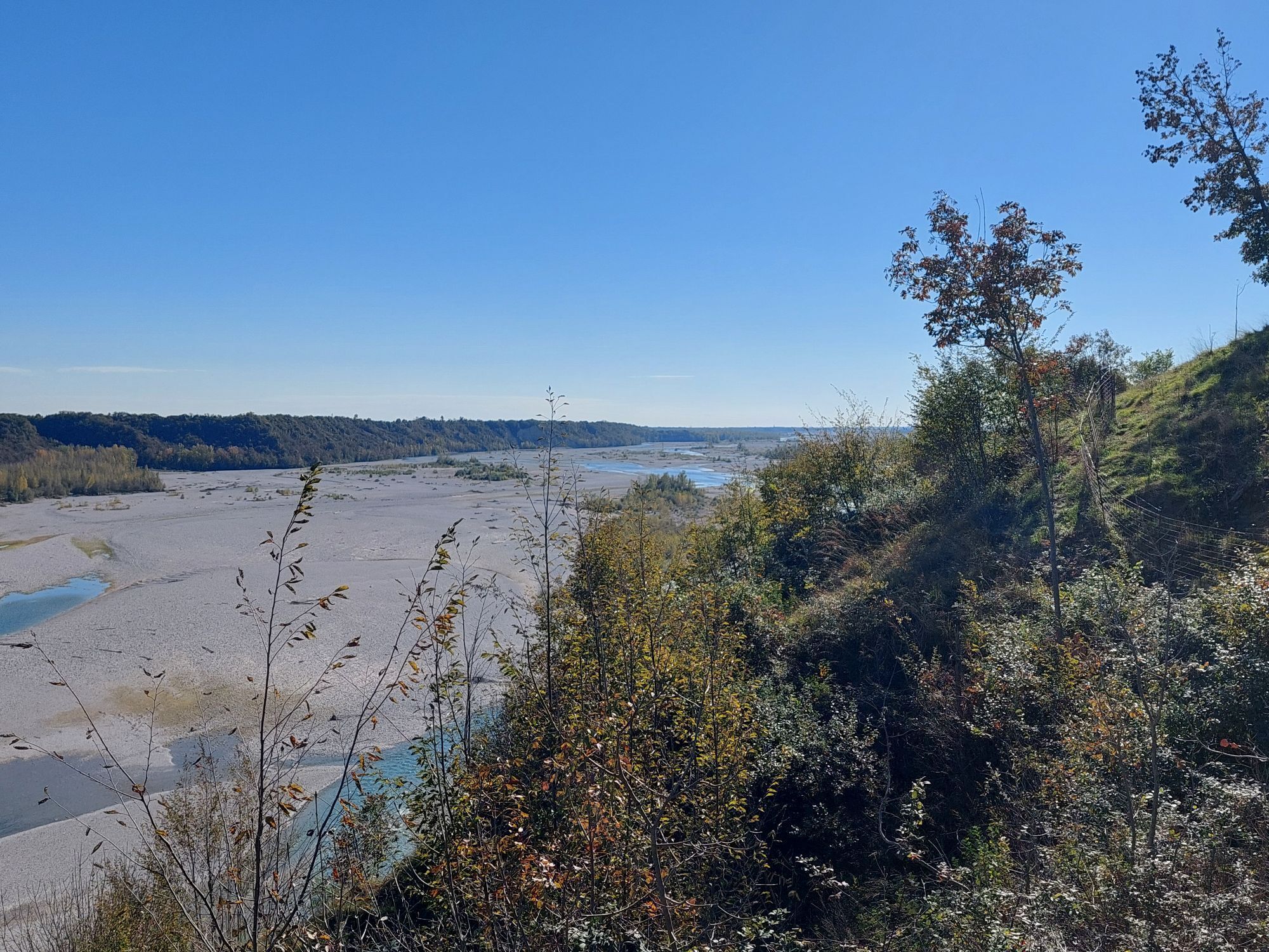
At the start of this stage in San Pietro, you leave the foothills of the Alps for good. In other words, it becomes flat - but at the same time another natural treasure comes more and more to the fore. For the next 2 days, you will be hiking in the Tagliamento, one of the very few unspoilt rivers in the Alps. On this stage, it is above all the unspoilt forests in the vicinity of the river that will remain in your memory. And, of course, the stage destination of Spilimbergo with its picturesque old town and famous mosaic school.

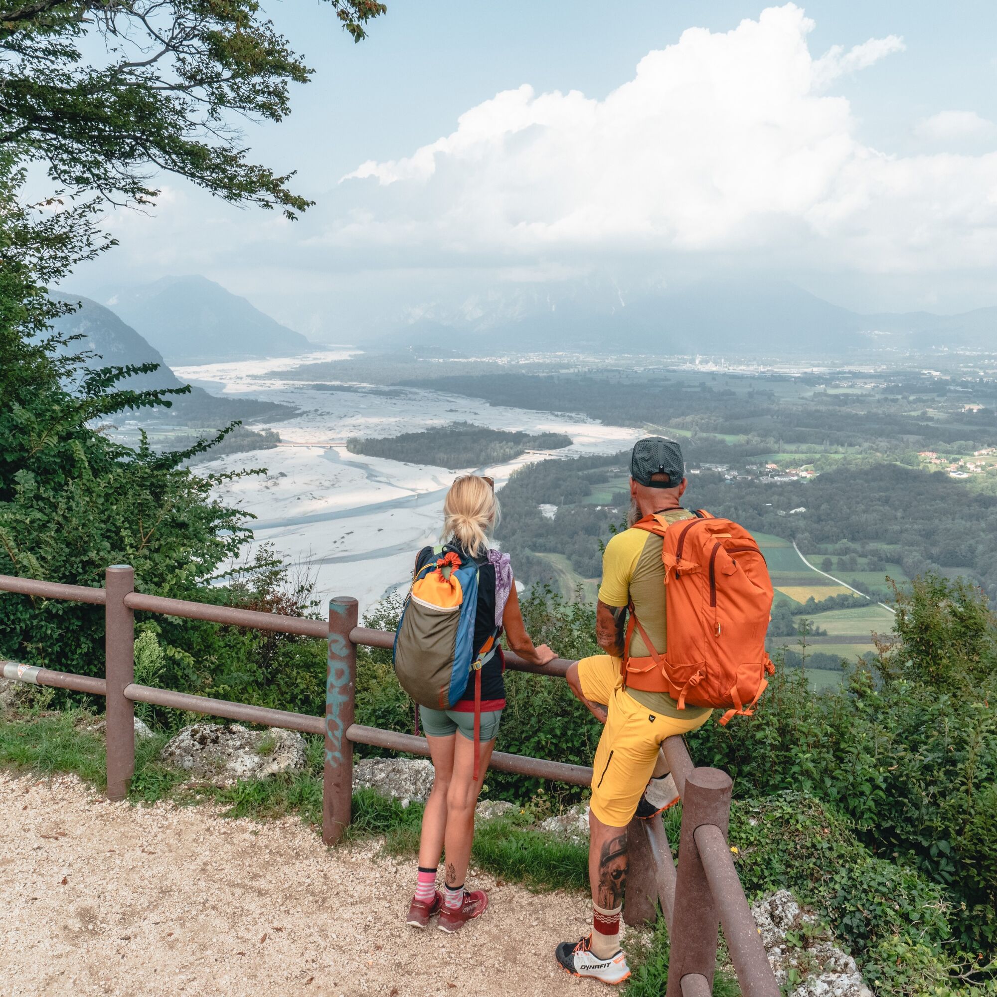

You now walk along the road on the right, pass a large bridge and continue along the road around a ridge over another small bridge. After the bridge, a path branches off to the right, which shortens the next bend in the road. Once you reach the road again, cross it and walk along the meadow path to Pinzano al Tagliamento.
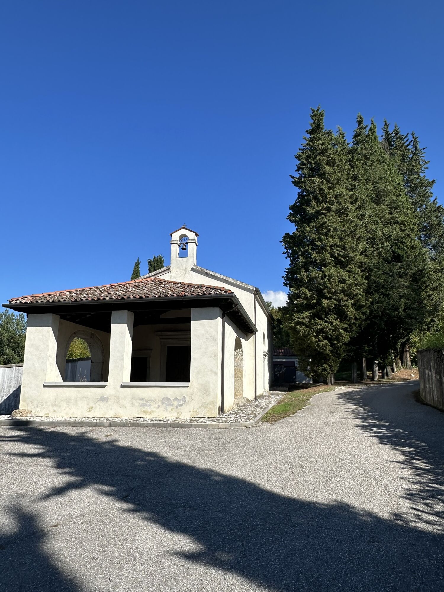
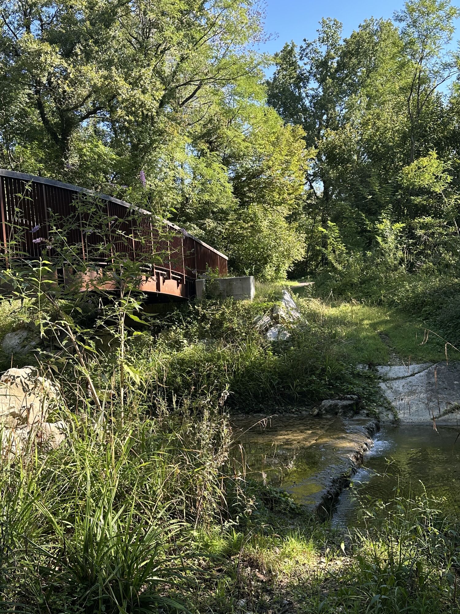
At the first houses, follow the tarmac road for a few metres and then turn left into Via Circonvallazione. After 300 metres through the village, you will come to a larger road (Via Vittorio Veneto) at the church of San Martino al Tagliamento. Continue left on the sidewalk of Via Vittorio Veneto, avoiding the branches and always keeping the sign for the cemetery in a right-left-turn. The street is slightly downhill until after about a kilometer you reach the Holy Trinity Church and cemetery of Pinzano al Tagliamento. From the church cross the parking lot and keep to the small road that runs alongside the cemetery, skirting it on the left. Continue on this small asphalt road (cycling road) for about 1.1 km through a grove until a junction. Turn left here (cycling trail), pass the stream by a bridge and walk for another 150 m until another junction. Here the hiking trail “Troi dal Denis” branches off to the left.
You now hike along the beautiful hiking trail, first briefly across meadows and then back and forth through unspoilt forests. After 1.2 km, don't miss a fork to the right: the larger trail leads to the left here, but you descend a small wall to the right and continue along the path through the forest until you reach a larger field path. Turn right here until, after 1.1 km, you must not miss a meadow path branching off to the right. The meadow path takes you to the right and then left through an old archway. Behind it, steep steps lead up over the terrain. Once you reach the orchards, follow the trail or the signposts first to the left and then immediately to the right again - this will take you to the southern end of Valeriano.
Turning left in the direction of Borgo Mizzeri, proceed along Umberto Primo Street for 250 meters. At the capitol, keep right at the fork and after a few meters the street becomes a dirt road. Follow it all the way for a few hundred meters until you find the paved road again and turn right. At the next stop sign, where there is a small altar dedicated to the Immaculate Heart of Mary on the right, go right again proceeding on the dirt road through the fields. You follow it for about 1.5 km and at the fork go left. After 200 m go come to another junction. Go right here and proceed hiking the gravel road to the right for about 1.4 km to another junction. Turn right here: a gravel road brings you up to a cemetary. You pass it on the right side. Just before the first house, turn left in another gravel road and hike it until it joins with an asphalt road (via Filanda Vecchia). You walk this road to the left - at the end of via Filanda Vecchia, after about 900 m, turn right into via Caterina Percoto, and take, shortly thereafter, the first left, via Filippo Corridoni, passing the Scuola Mosaicisti del Friuli (if you have time: it is definitely worth a visit!). At the end of the street you turn right onto Viale Barbacane. This leads to the Church of San Rocco and the small square of the same name. You are now in the historic center of Spilimbergo and have reached you stage destination for today.
T2
Spilimbergo: Der Stempel befindet sich im am Vorplatz der Ufficio Turistico Spilimbergo (46°06'38.4"N 12°54'16.5"E).

Popularne wycieczki w okolicy
-
4,7
Monte Cuar loop
średniWędrówka 7,26 km -
FVG6 Droga rowerowa wzdłuż rzeki Tagliamento (C600)
średniKolarstwo długodystansowe 136,9 km -
Loop of Monte di Ragogna
średniWędrówka 11,9 km -
5,0
Monte Prat loop from Cornino
średniWędrówka 15,2 km -
Szlak w San Daniele del Friuli (R007)
średniKolarstwo długodystansowe 31,4 km -
Monte Valinis loop from Sottomonte
średniWędrówka 8,41 km -
Monte di Ragogna by Wilson Holz
światłoWędrówka 12,3 km -
Tolmezzo - San Daniele del Friuli (C6V1)
średniKolarstwo długodystansowe 77,6 km -
5,0
10 thousand steps of health FVG - SAN DANIELE DEL FRIULI E RAGOGNA
światłoWędrówka 4,34 km -
Maniago - Gemona del Friuli (C302)
średniKolarstwo długodystansowe 53,6 km
Wędrówki i tropienie


Nie przegap ofert i inspiracji na następne wakacje
Twój adres e-mail została dodana do listy mailingowej.





