


Comeglians Naviga
Poziom trudności: T2
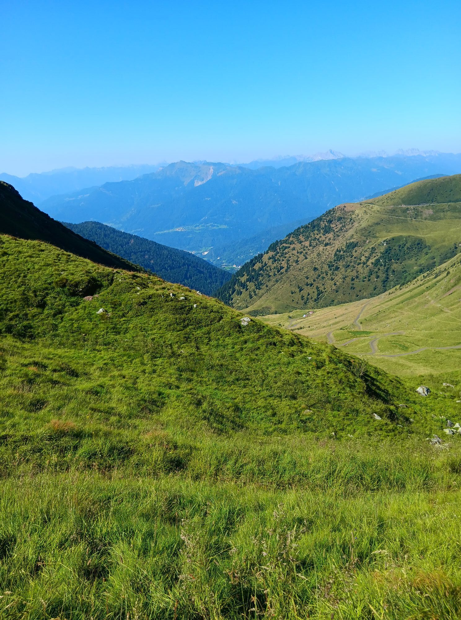
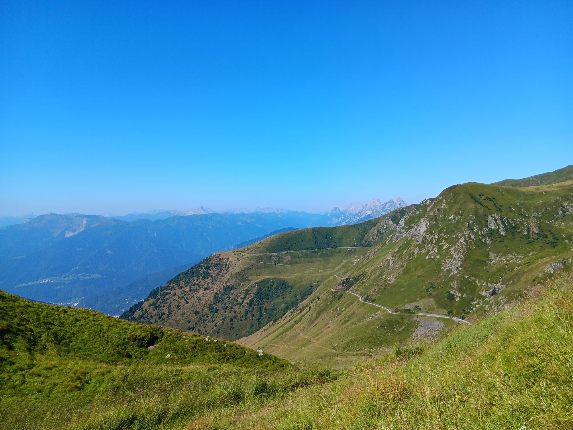

Easy and scenic loop hike that leads to two charming glacial lakes, immersed in one of the most authentic and unspoiled corners of the Carnic Alps. The route develops along the CAI 154 trail, in a high-altitude...
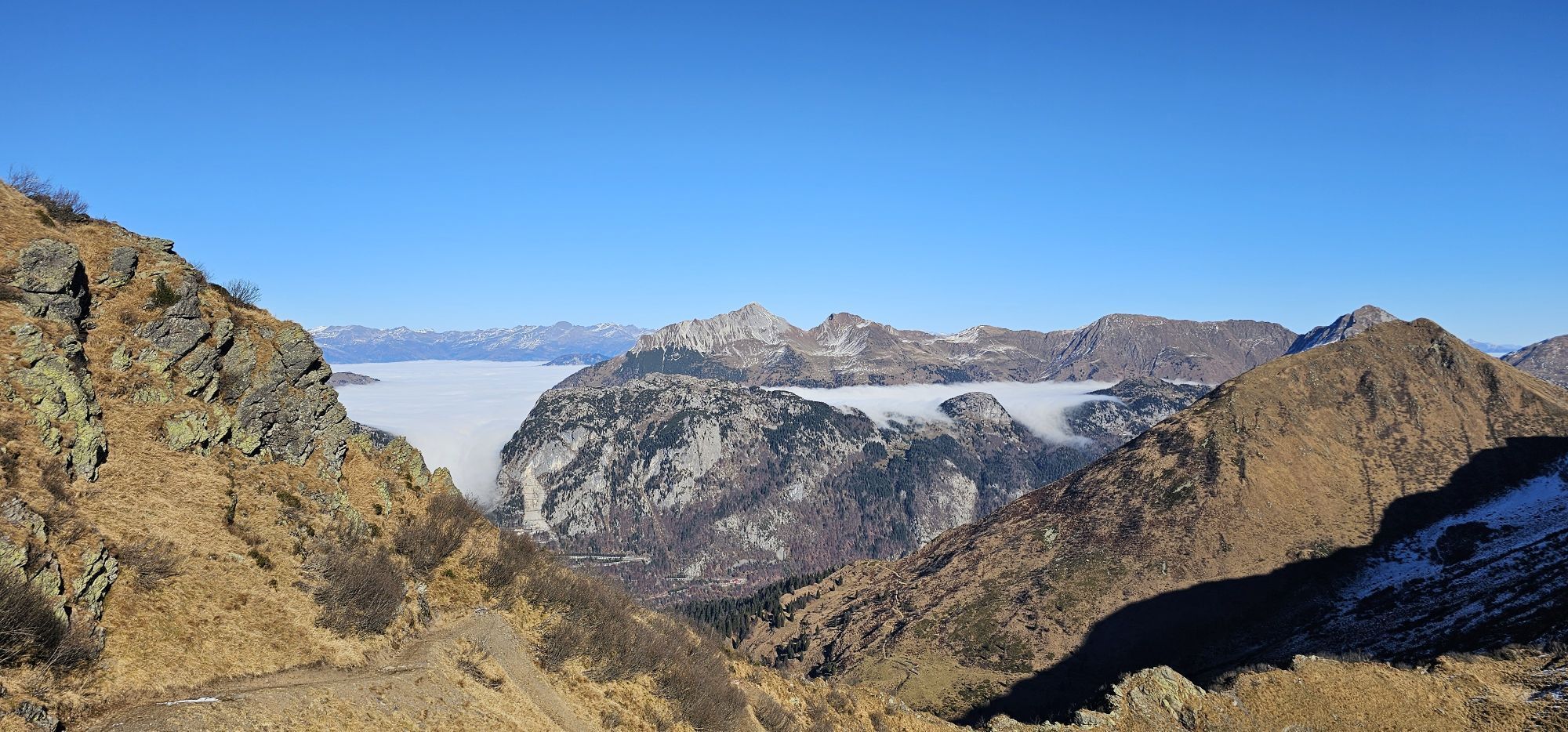
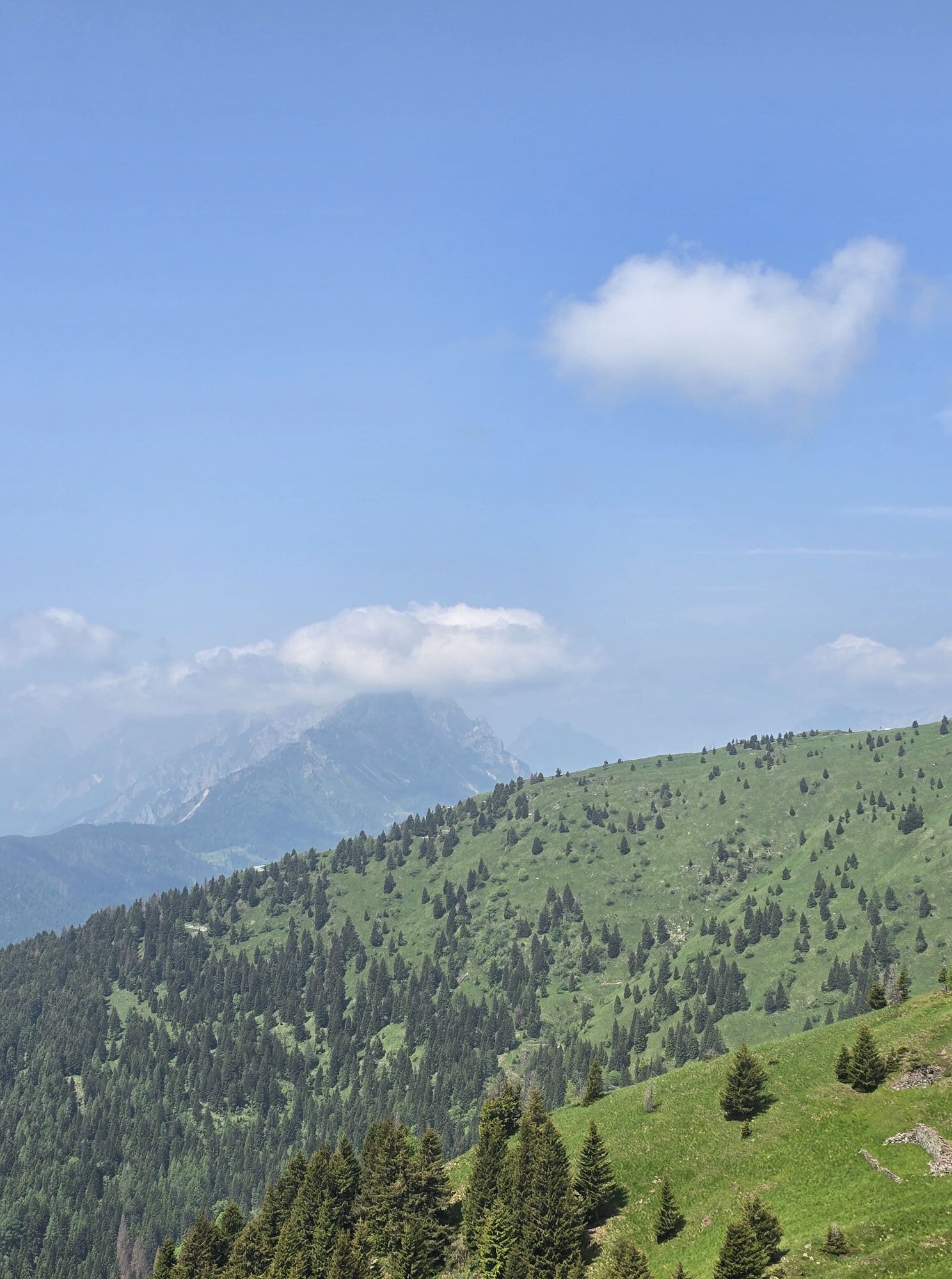
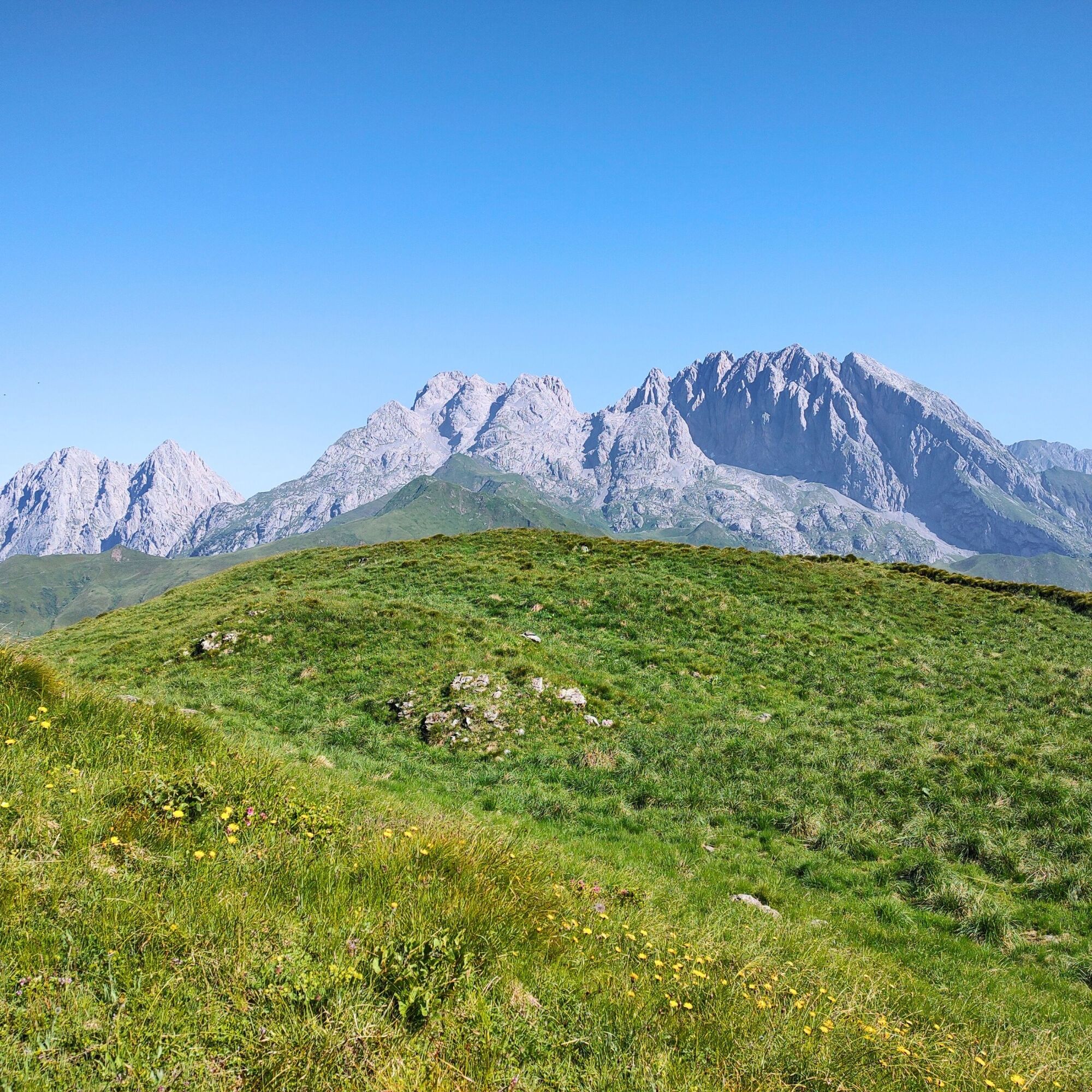
Easy and scenic loop hike that leads to two charming glacial lakes, immersed in one of the most authentic and unspoiled corners of the Carnic Alps. The route develops along the CAI 154 trail, in a high-altitude environment characterized by open pastures, grassy ridges, and spectacular views of the surrounding peaks.
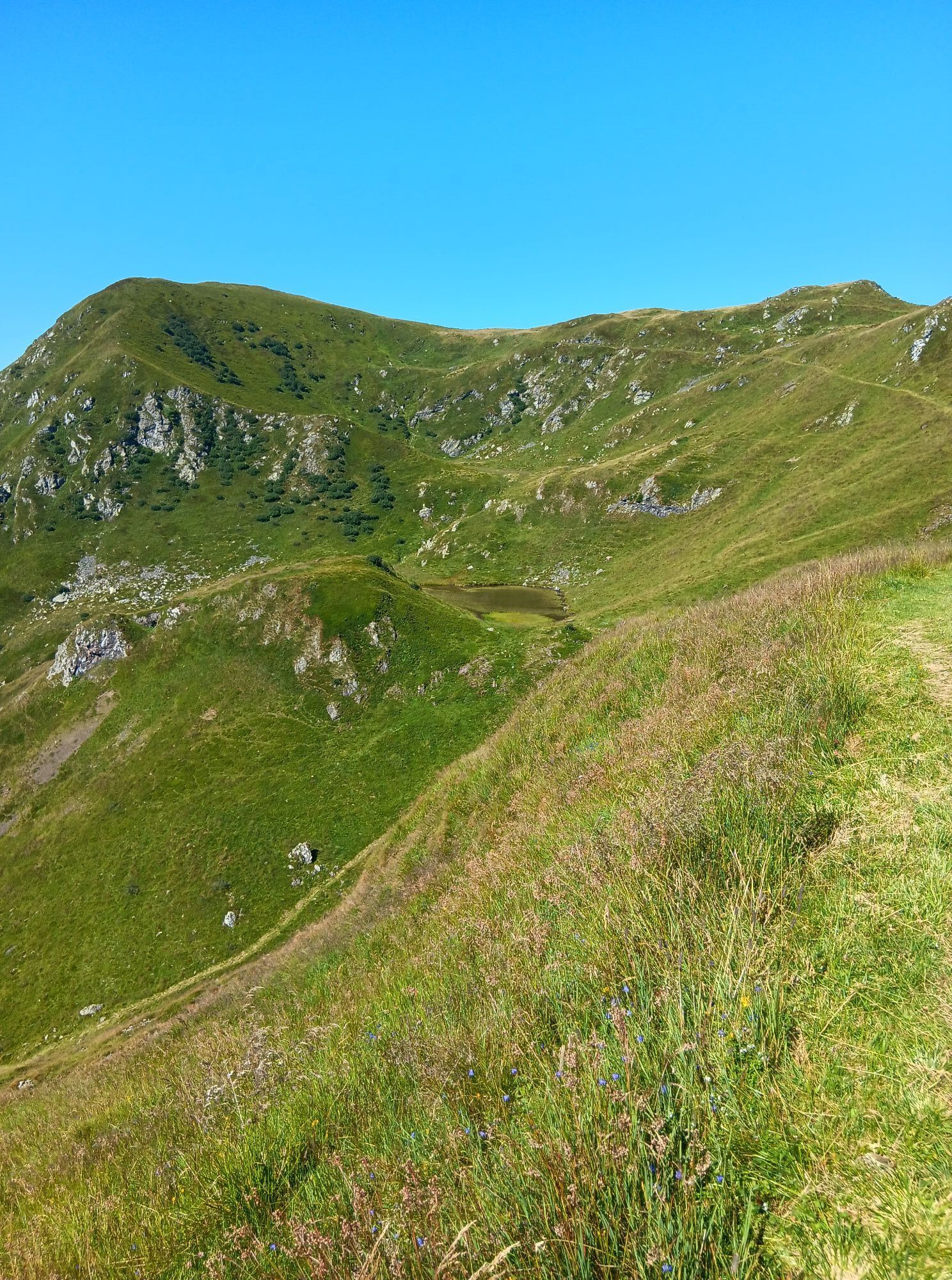
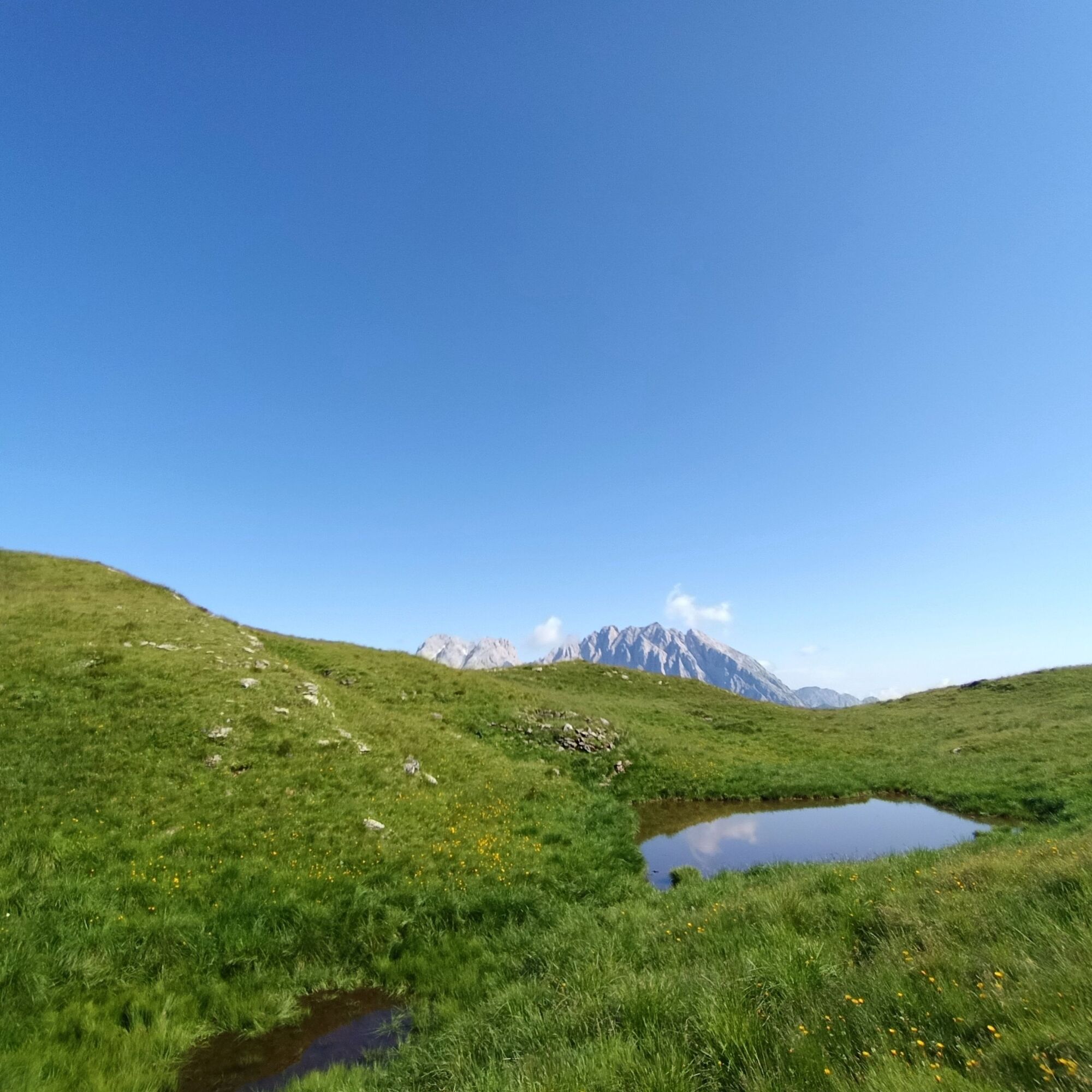
The lakes of Tarond and Crasulina, located just below the ridge connecting Monte Crostis to Zoufplan, are mainly fed by snowmelt. Their waters, framed by meadows and rhododendrons, reflect the sky and offer an atmosphere of peace and alpine beauty. The natural setting has great landscape value, ideal for a refreshing break or a moment of contemplation.
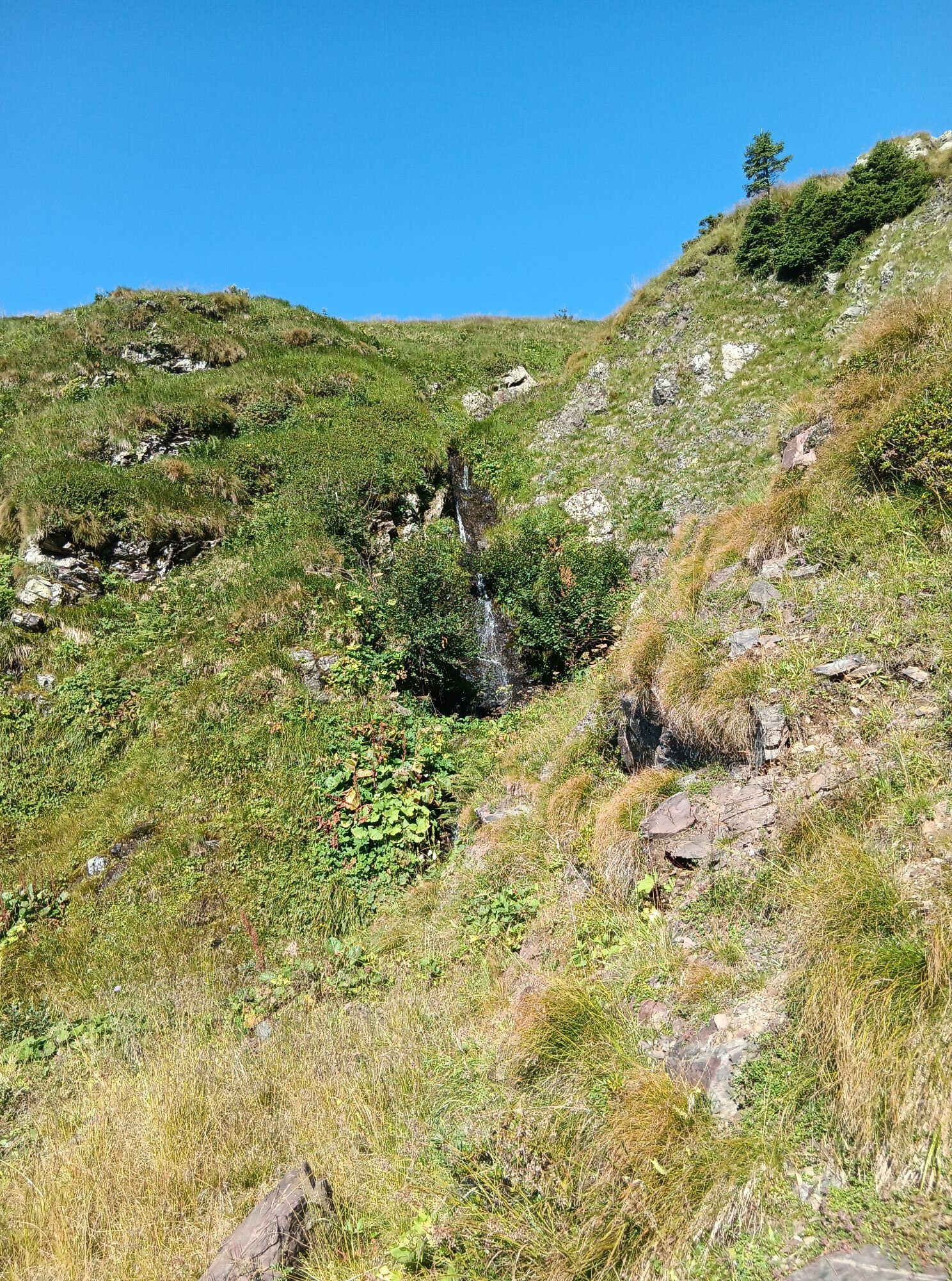
Along the route, it is possible to admire numerous valuable floral species, typical of the alpine environment, including gentians, lilies, wild orchids, and carpets of flowering rhododendrons. The fauna is equally rich: with some luck, you can spot marmots, birds of prey, and small alpine birds.
Enhancing the excursion further, you also encounter remains of military posts dating back to the First World War, a testament to the wartime past of these mountains. An opportunity to combine nature, history, and views in a single route suitable for all, ideal on clear days from late spring to early autumn.

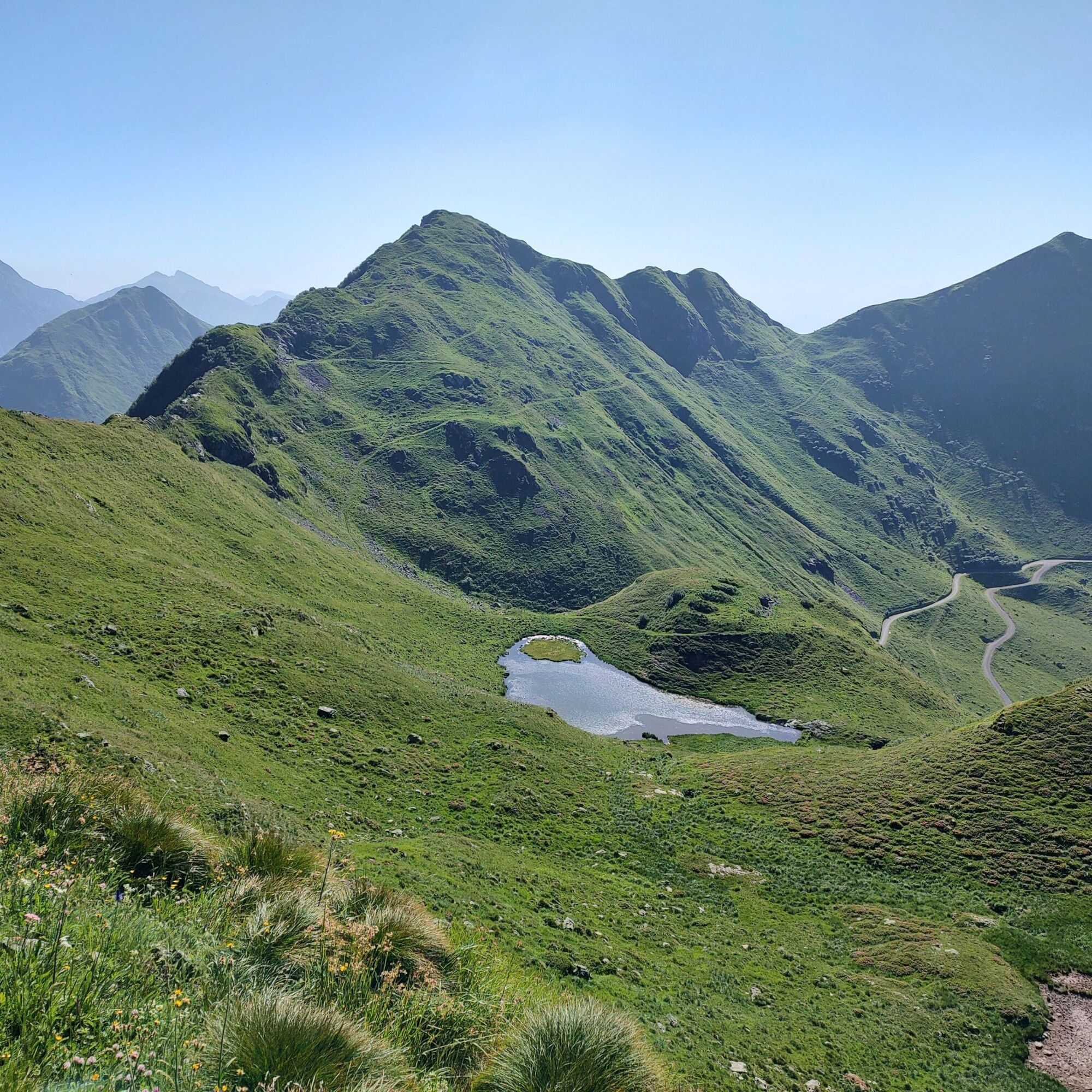
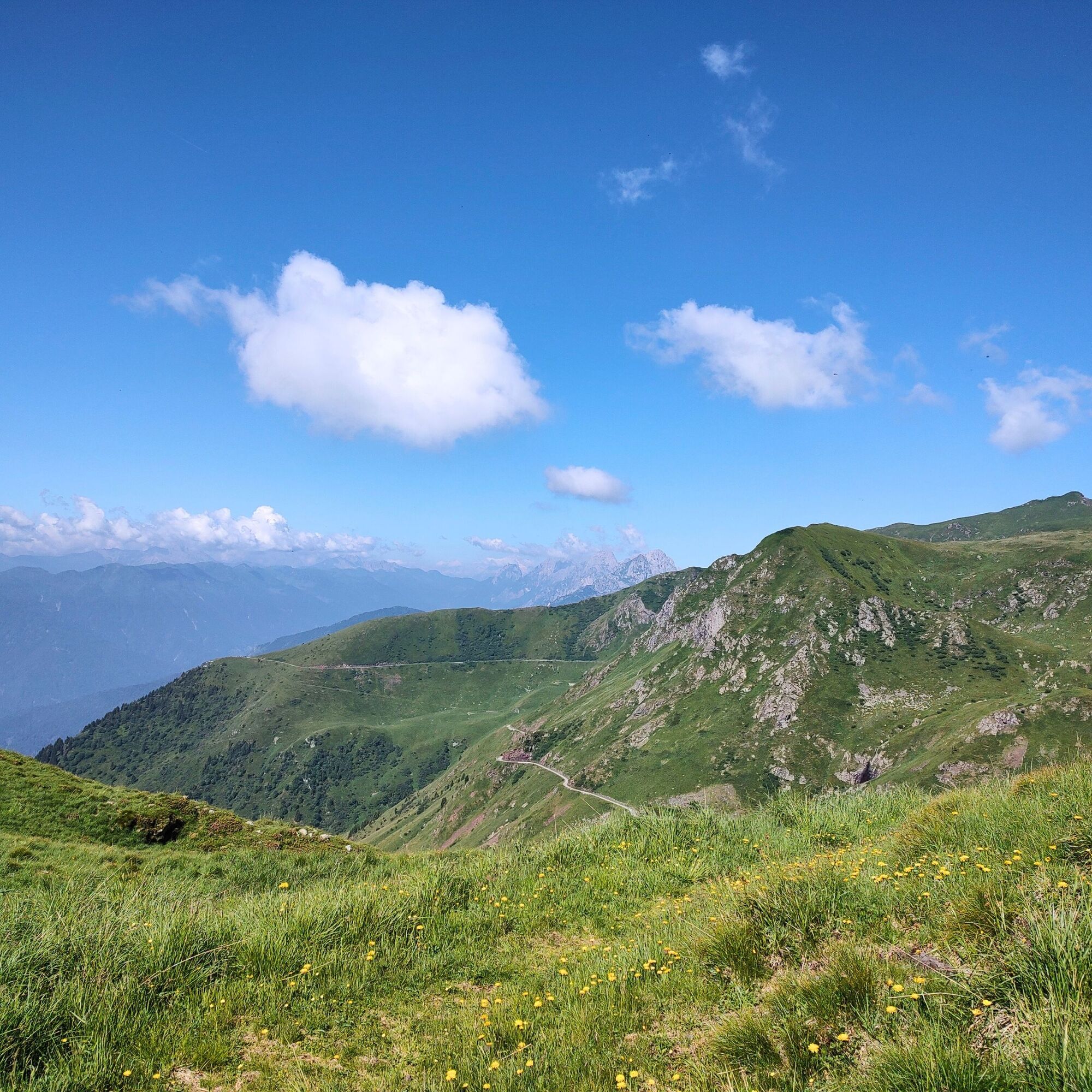
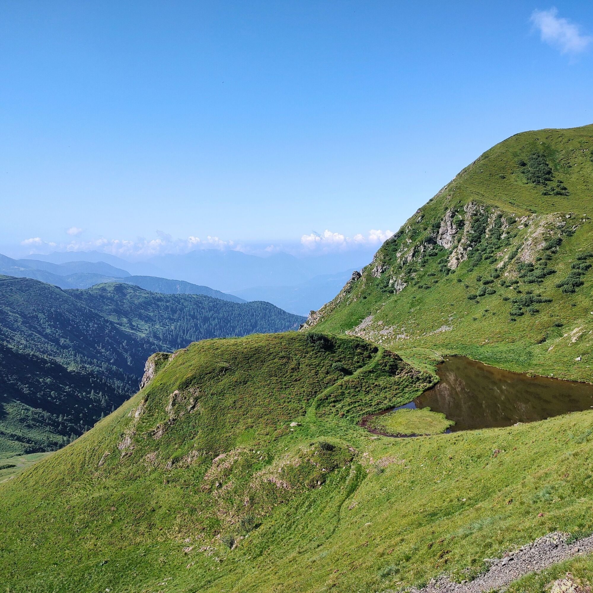
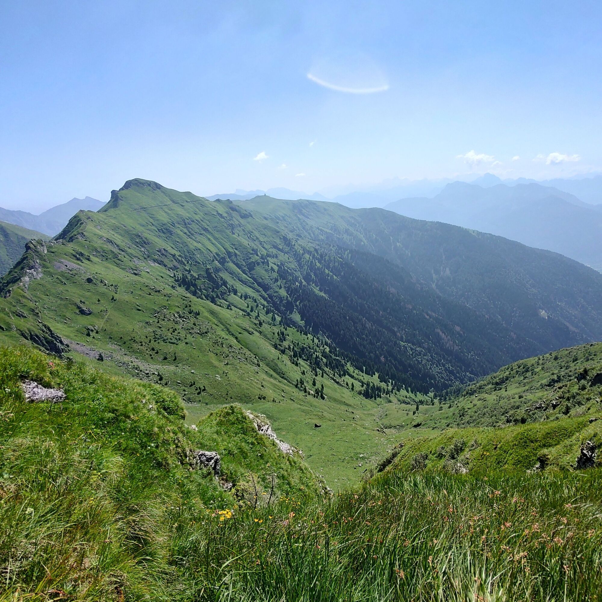
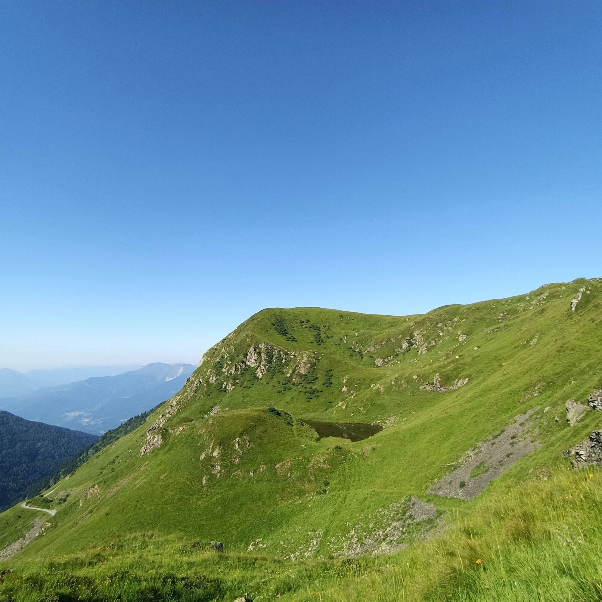
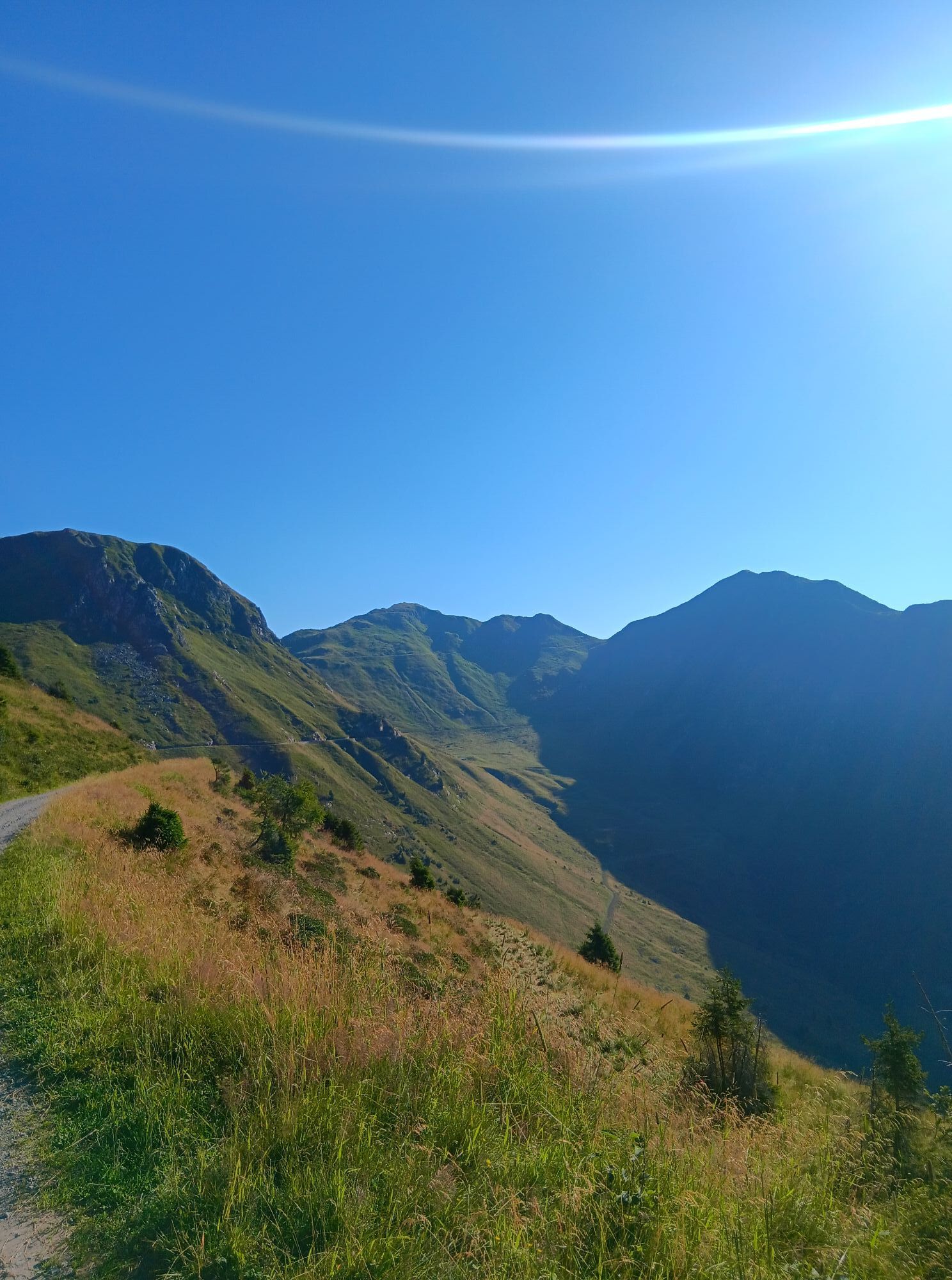
From the parking area, take the obvious black track that climbs with regular hairpin bends the pastures above, until shortly intersecting the CAI 154 trail, which is followed eastward. Continue maintaining altitude, avoiding the branches that descend towards the valley, until reaching the small lake of Tarond.
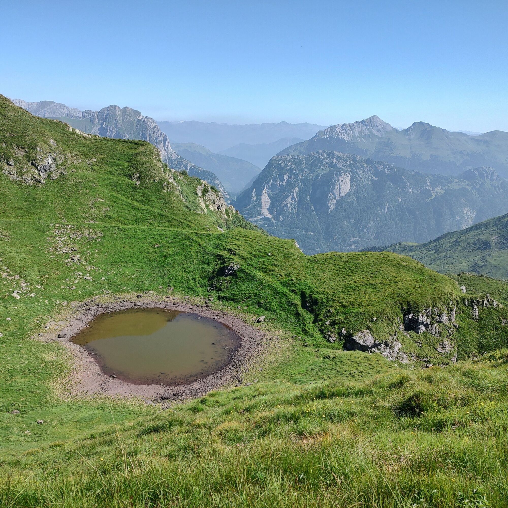
Continue on the CAI trail, which maintains a constant altitude, then reach the small lake of Crasulina. For the return, retrace the same itinerary up to a previously encountered junction, from where you take an unmarked CAI trail, usually well visible, that descends with wide hairpins toward the dirt road below. Following this road, return to the starting point, completing the loop. Be cautious as the trails may be less visible due to overgrowing during the summer season.
Tak
Tak
Standard hiking equipment, depending on the season.
Do not undertake the excursion in uncertain weather (the upper part may be exposed to lightning and the steep terrain can become very slippery when wet). Some parts of the trail may be difficult to locate in periods when vegetation is denser (especially in sections not maintained by CAI).
Water sources are almost absent along the loop; on particularly hot days, consider carrying an adequate amount of water.
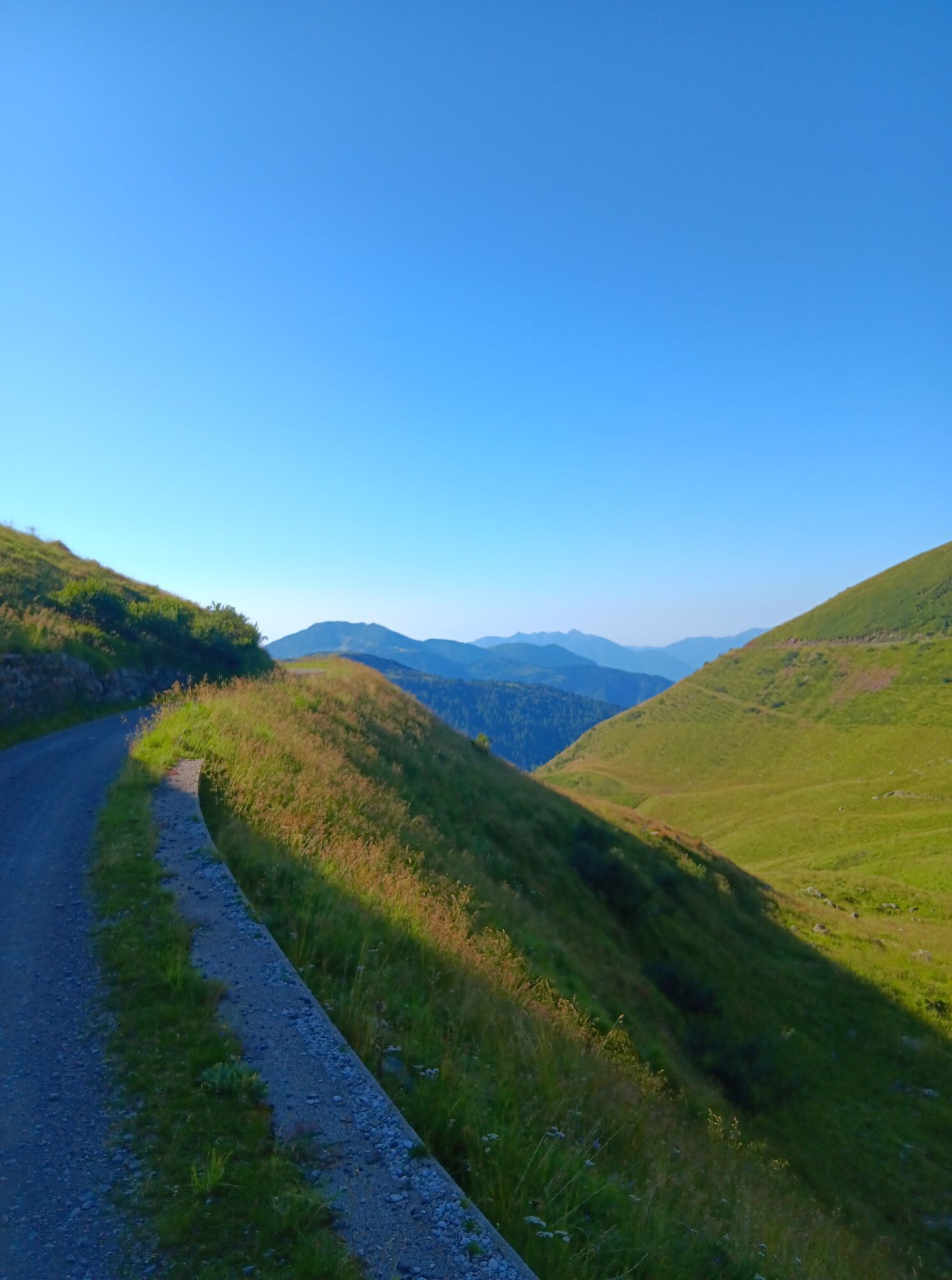
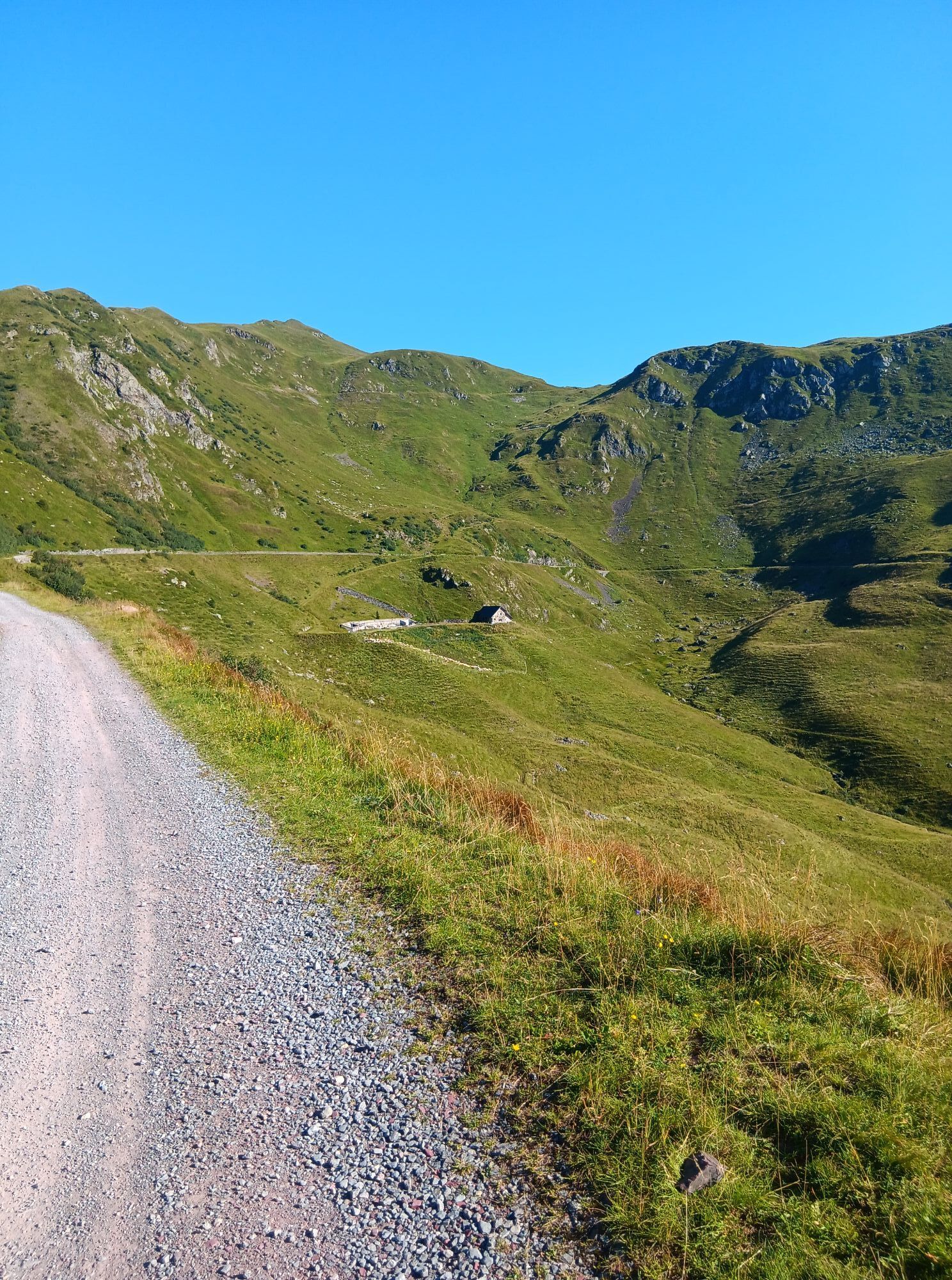
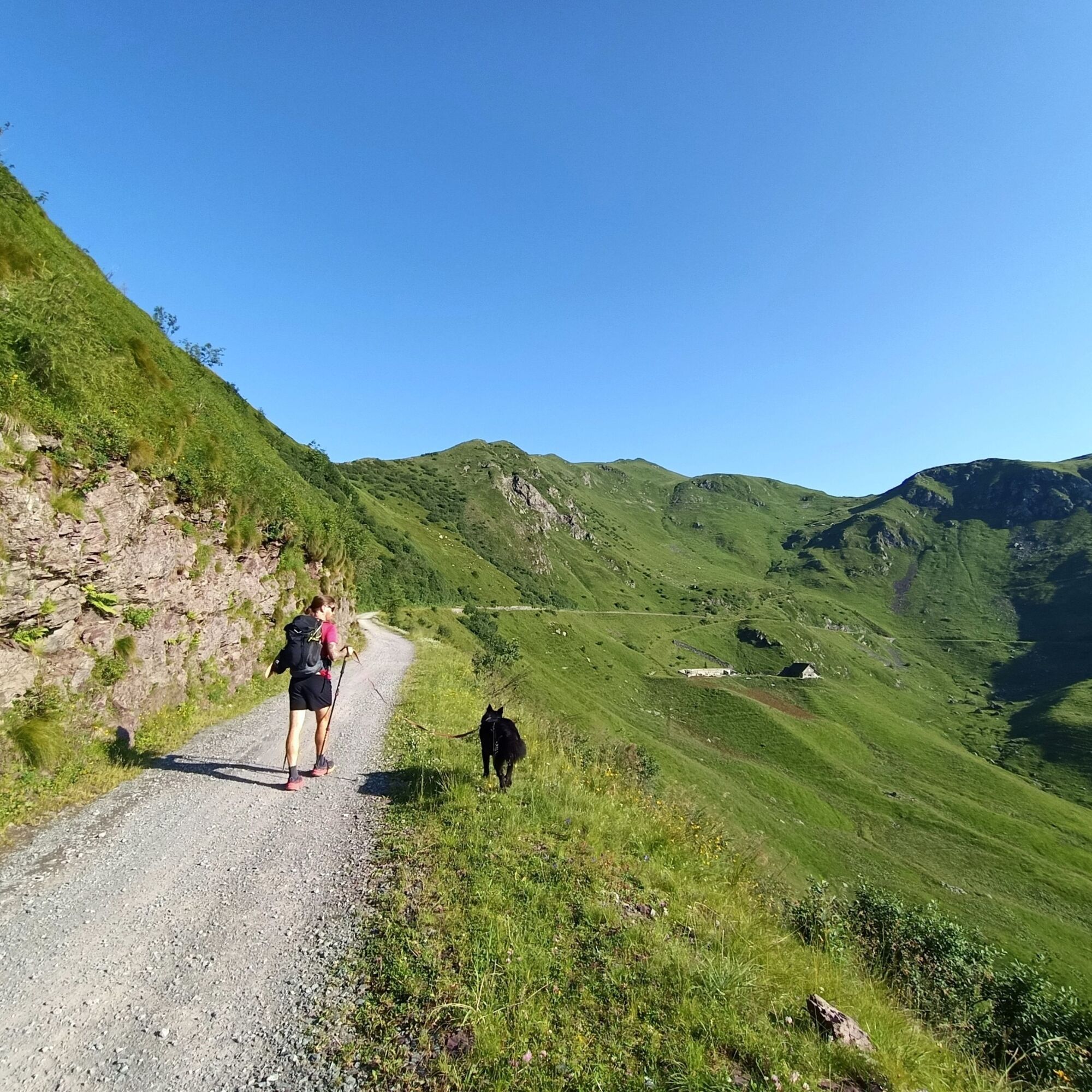
From Tolmezzo, take SS52 and then SR355 towards Comeglians; after passing the town, turn right onto the Panoramica delle Vette towards Mieli and Tualis. After passing the two small villages, continue the ascent on the Strada delle Vette (narrow and demanding road). Once at altitude, continue on the same road (narrow and without barriers, partly unpaved), passing the large parking lot of Rifugio Chiadinas and continue for another 700 m up to the clearing in front of Casera Crostis Alta, where the parking area is located.
It is not possible to reach the excursion location by public transport.
Small parking area near Malga Crostis along the Panoramica delle Vette.
T2
The Malga Chiadinas refuge offers dining and overnight services during the opening periods.
Popularne wycieczki w okolicy
-
4,5
Karnischer Höhenweg – Etappe 4: Hochweißsteinhaus – Wolayersee Hütte
ciężkidługodystansowy szlak pieszy 15,9 km -
4,9
Karnischer Hauptkamm - Hohe Warte 2.780m - Hike and Bike
ciężkiWycieczki górskie 19,5 km -
4,3
Mountain bike route from the Hubertus Chapel to the Wolayersee
ciężkiMountainbike 9,06 km -
3,7
Cellon-Stollen und Senza Confini auf den Cellon und Steinberger Weg zum Abstieg
średniVia ferrata 7,09 km -
3,6
RW_N61 Kleiner Pal (1,867 m)
ciężkiWędrówka 6,52 km -
5,0
Valentin-Wolayersee-Runde
średniWędrówka 12,4 km -
4,5
03 Südalpenweg, 24. Etappe: Valentinalm - Wolayerseehütte
średnidługodystansowy szlak pieszy 9,63 km -
5,0
Frischenkofel
średniWędrówka 5,25 km -
5,0
Plöckenhaus - Polinik - Plöckenhaus
ciężkiWędrówka 10,9 km -
2,9
Wolayersee
średniWędrówka 7,90 km
Wędrówki i tropienie


Nie przegap ofert i inspiracji na następne wakacje
Twój adres e-mail została dodana do listy mailingowej.