


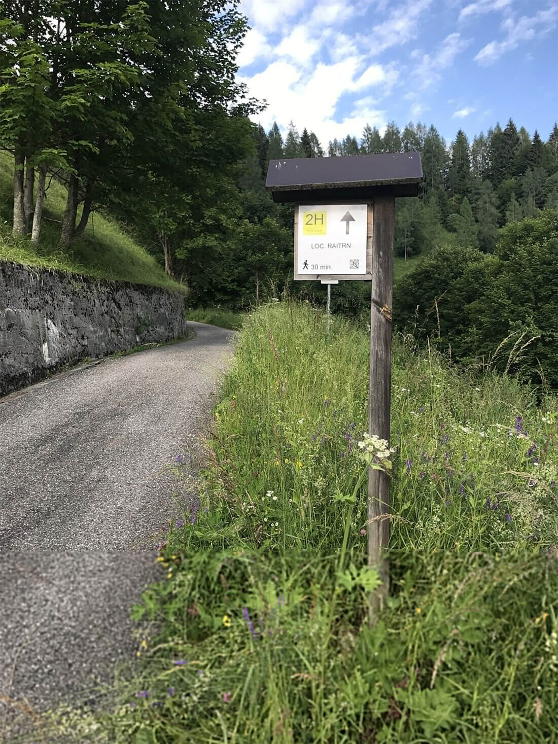
The Bélin's cave - Locality Straitar - 2H
Poziom trudności: T1
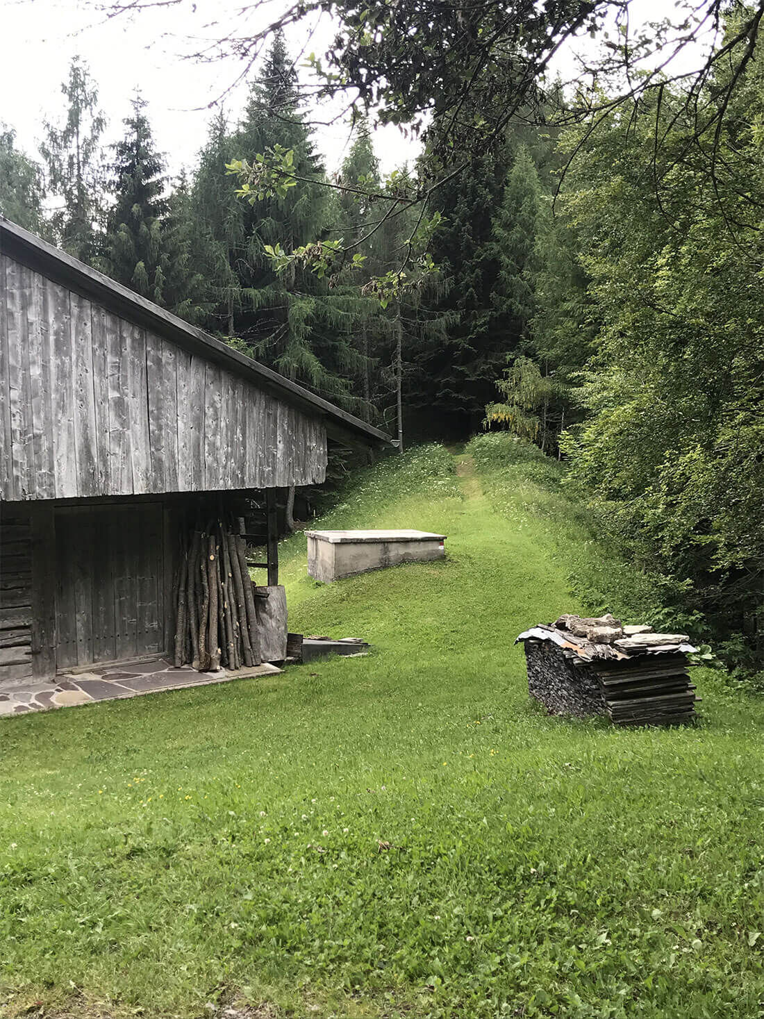
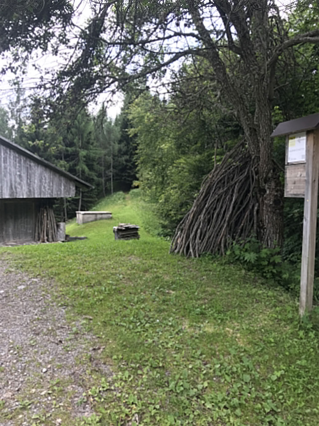
The route starts from the square in front of the Kursaal in Sauris di Sotto and continues east; after passing the last houses, there is a climb to some mountain huts near a karst-type sinkhole. Staying...
The route starts from the square in front of the Kursaal in Sauris di Sotto and continues east; after passing the last houses, there is a climb to some mountain huts near a karst-type sinkhole. Staying at altitude, inside the forest, you can see on the left a characteristic rocky hollow: the Bélinlouch, or the Bélin's cave, an unpleasant female character who, according to legend, imposed a strange toll on anyone leaving Sauris for the first time (de must pussn in orsch in der Bélin). Upon reaching the bed of a stream, you follow it uphill to the left until you find a drop near a very smooth rock about 3 m high; you bypass it heading north until you reach the locality Straitar. After an hour and a half from the start you finally encounter the dirt road that returns to Sauris di Sotto, while the right continues along the 2A route.

Tak
Season-appropriate clothing and hiking shoes are recommended.
It is recommended to carry a water bottle and possibly a snack.
It is advised to reach Sauris di Sotto by private transport.
There are several free parking lots in the center of Sauris di Sotto.
T1
Popularne wycieczki w okolicy
-
4,5
Tiziana Weiss nature trail
średniWędrówka 9,23 km -
30 MONTE CHIADIN - Sappada
średnidługodystansowy szlak pieszy 4,22 km -
5,0
Pani loop
światłoWędrówka 6,26 km -
Mounts Bivera and Clap Savon from Casera Razzo, alpine ride
ciężkiWędrówka 20,5 km -
5,0
Wśród wiejskich wiosek na wzgórzach Carnic
światłoWędrówka 9,23 km -
The multicolored campanili of Mount Zauf
średniWędrówka 14,2 km -
5,0
16 MONTE FERRO REFUGE from Borgata Bach - Sappada
światłoWędrówka 1,47 km -
Colmajer ridge loop
średniWędrówka 7,51 km -
Od przełęczy Rest do trasy panoramicznej Rest Mountain
średniWędrówka 7,72 km -
Urtisiel and Canpuros, Dolomitic wonders
średniWędrówka 13,5 km

Wędrówki i tropienie


Nie przegap ofert i inspiracji na następne wakacje
Twój adres e-mail została dodana do listy mailingowej.