






Carsus Trail, stage 6: Jamlje / Jamiano - Miren

Poziom trudności: T2
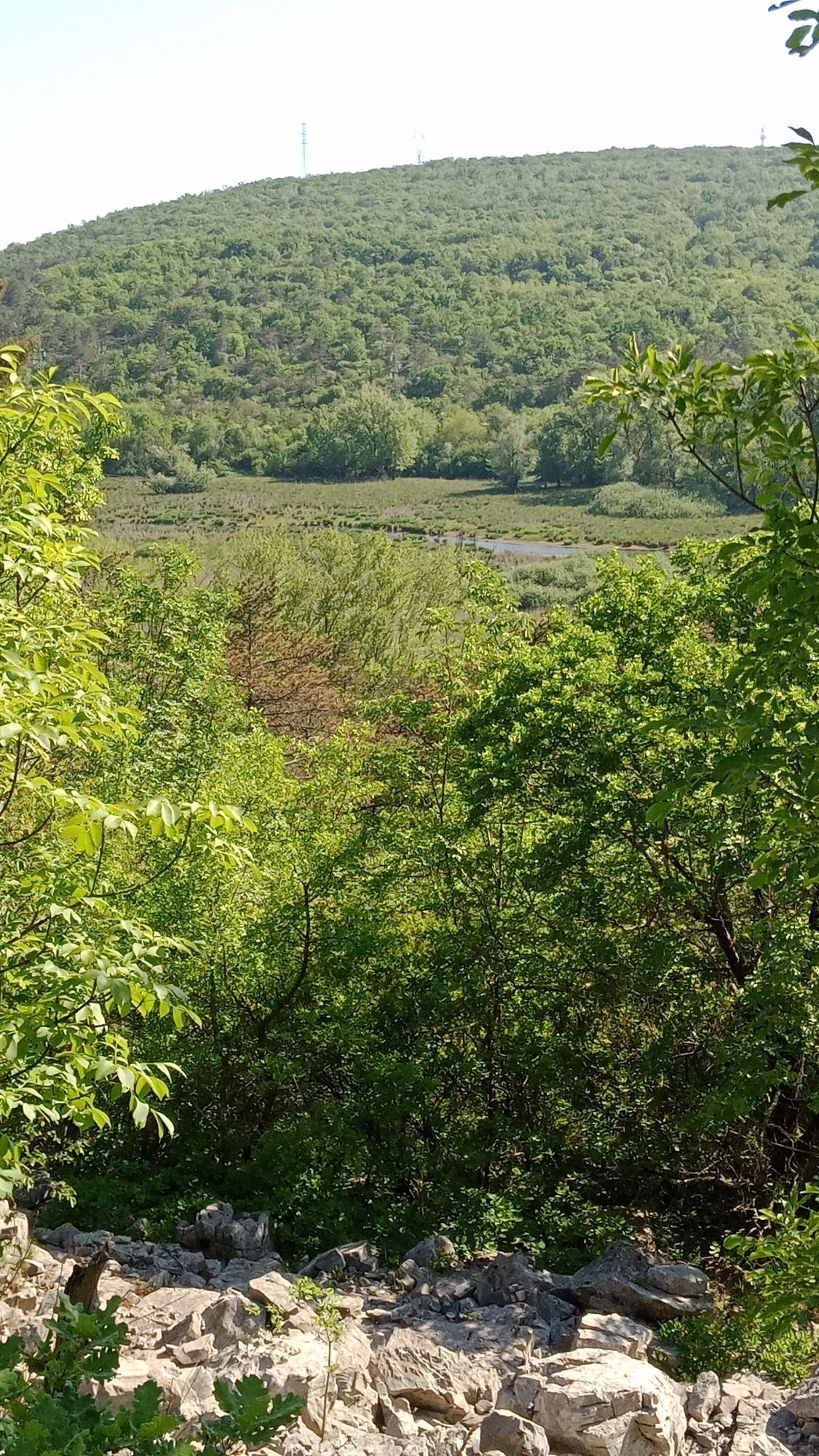
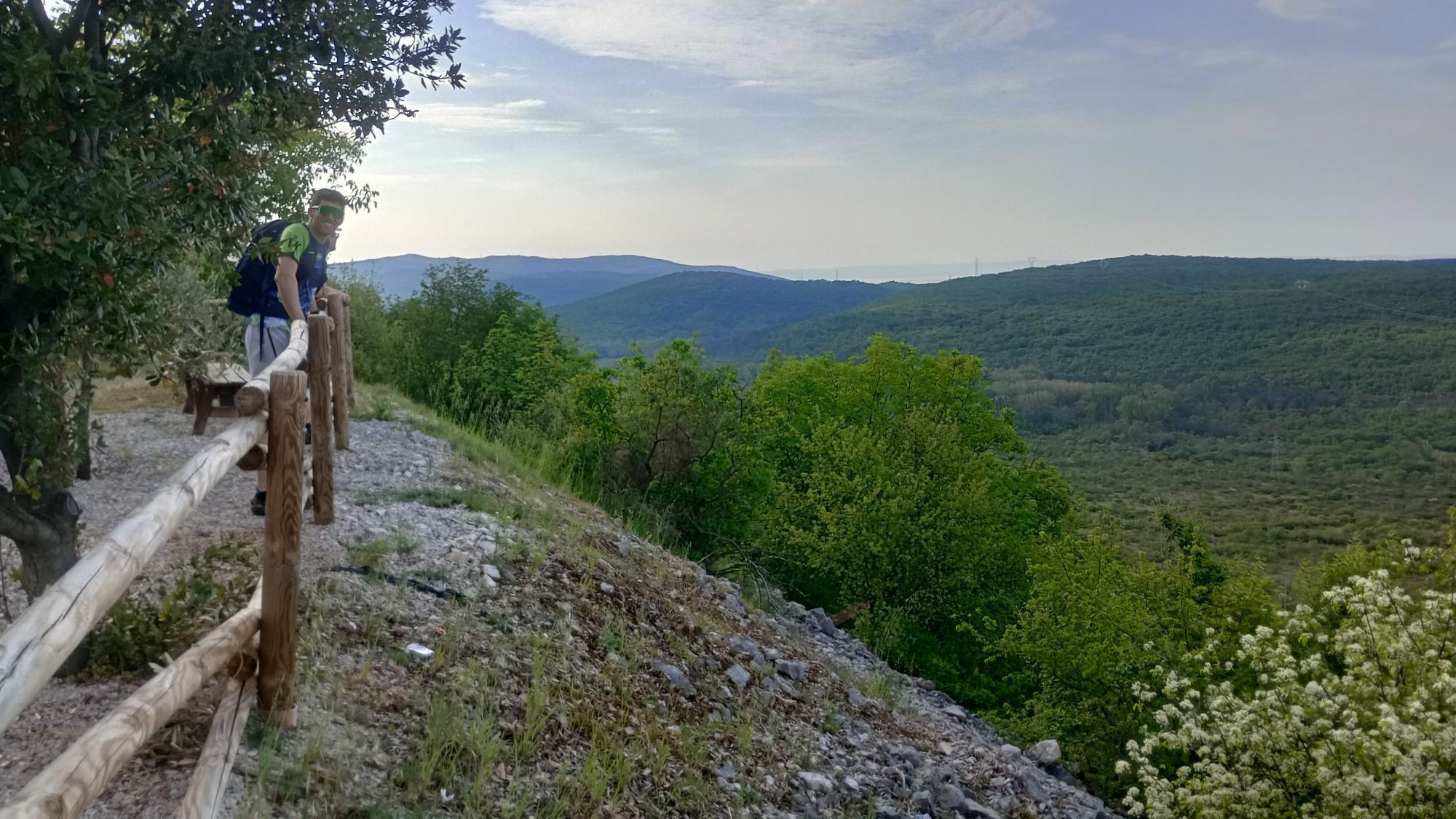
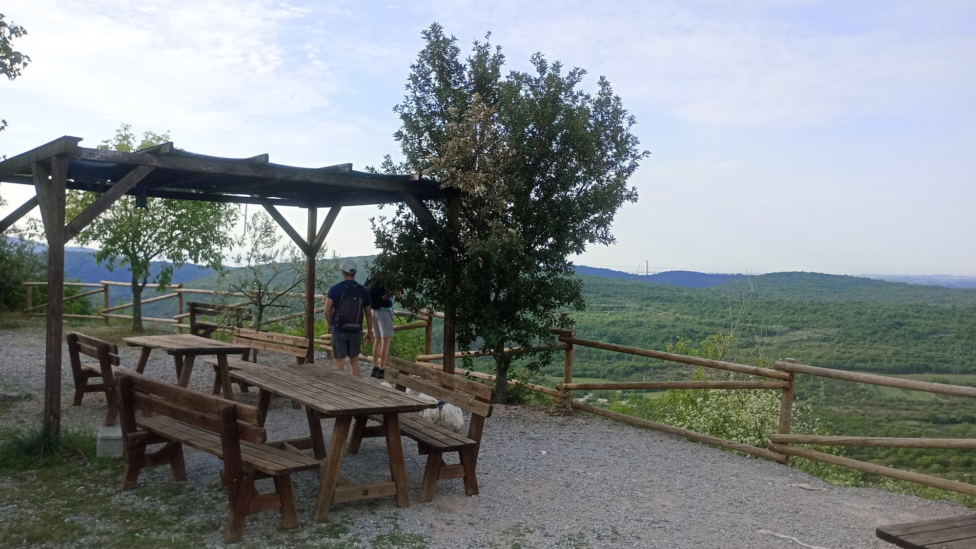
Two sights stand out on the last stage from Jamelj / Jamiano back to Miren: Doberdob Lake and the remnants of the First World War.
Doberdob Lake is a intermittent karst lake that constantly changes but...
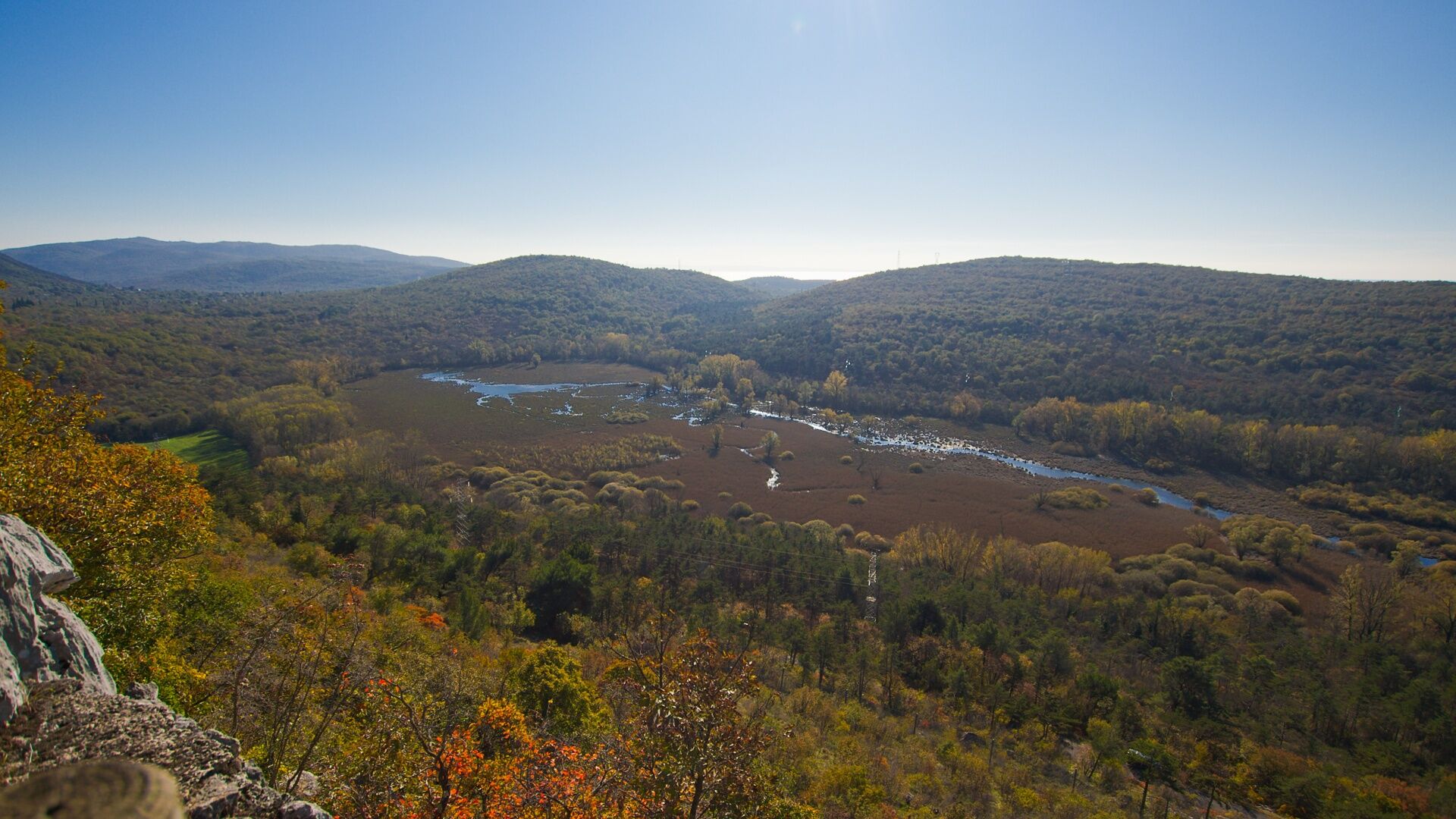
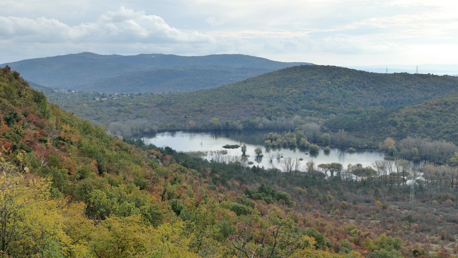
Doberdob Lake is a intermittent karst lake that constantly changes but never completely dries up. In dry periods, there is a marsh and puddles up to 40 m in size, while in rainy periods it can greatly expand, stretching 1200 m in length and 400 m in width. The lake is the main character of the regional nature park.
Above the observation terrace high above Doberdob is the Gradina Reception Center (Centro Visite Gradina). The historical and natural science exhibition tells the story of the nature reserve, and thirsty hikers will also enjoy the refreshment facility.
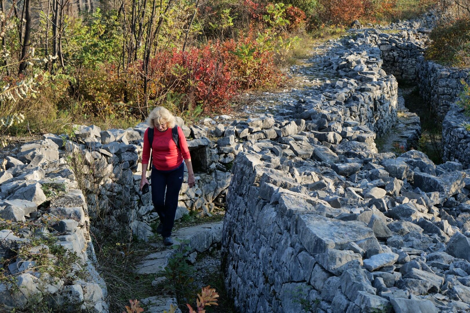
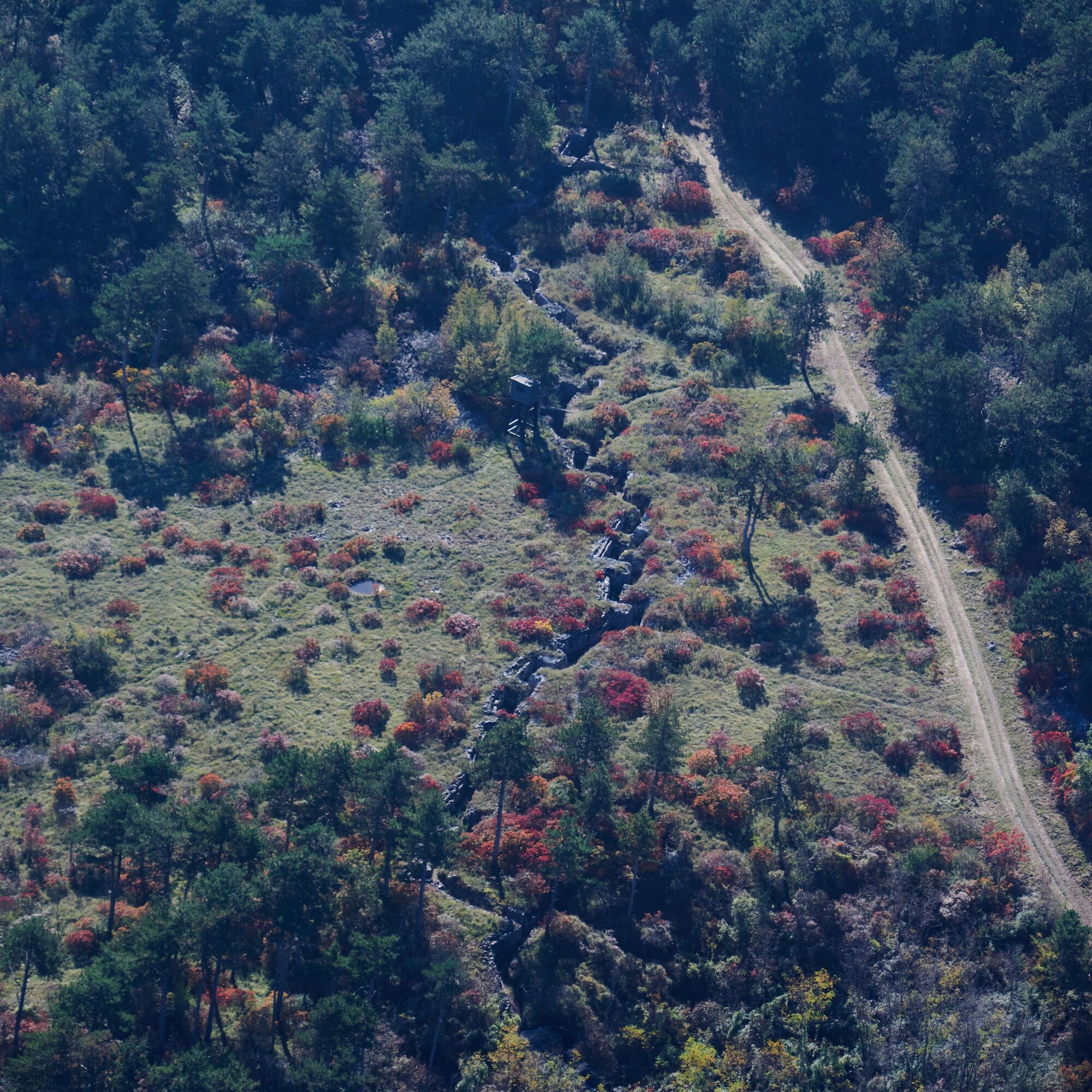
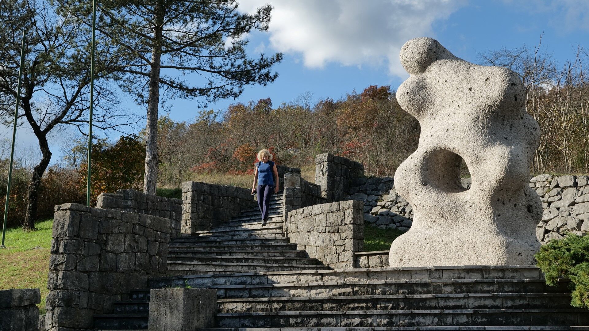
Remnants of the Great War are encountered at every step. On the Gorjupa kup hill, the first above Jamlje / Jamiano and also a magnificent viewpoint, stands a monument to fallen soldiers. On the other side of the lake, we ascend past the Cadorna hut (Rifugio Casa Cadorna), named after the commander of the Italian army, the general who sent hundreds of thousands of people to their deaths. In PalkišÄu / Palchisce, our path goes up steps through a monument to fallen partisans in the Second World War, a little further on, in the neighboring village of Vižintini / Visintini, we find a chapel built by Hungarian soldiers during the First World War. The peak of Brestovec, the last hill before we descend into Gabrje and Miren, is set up as an open-air museum. Everywhere, defensive trenches are still visible; at the top there is a monument, and in the artillery trench below it, you can see an interpretation of this area of the SoÄa front, which today is connected by the Peace Trail.
We conclude the stage with a short walk along the Vipava River back into Miren.

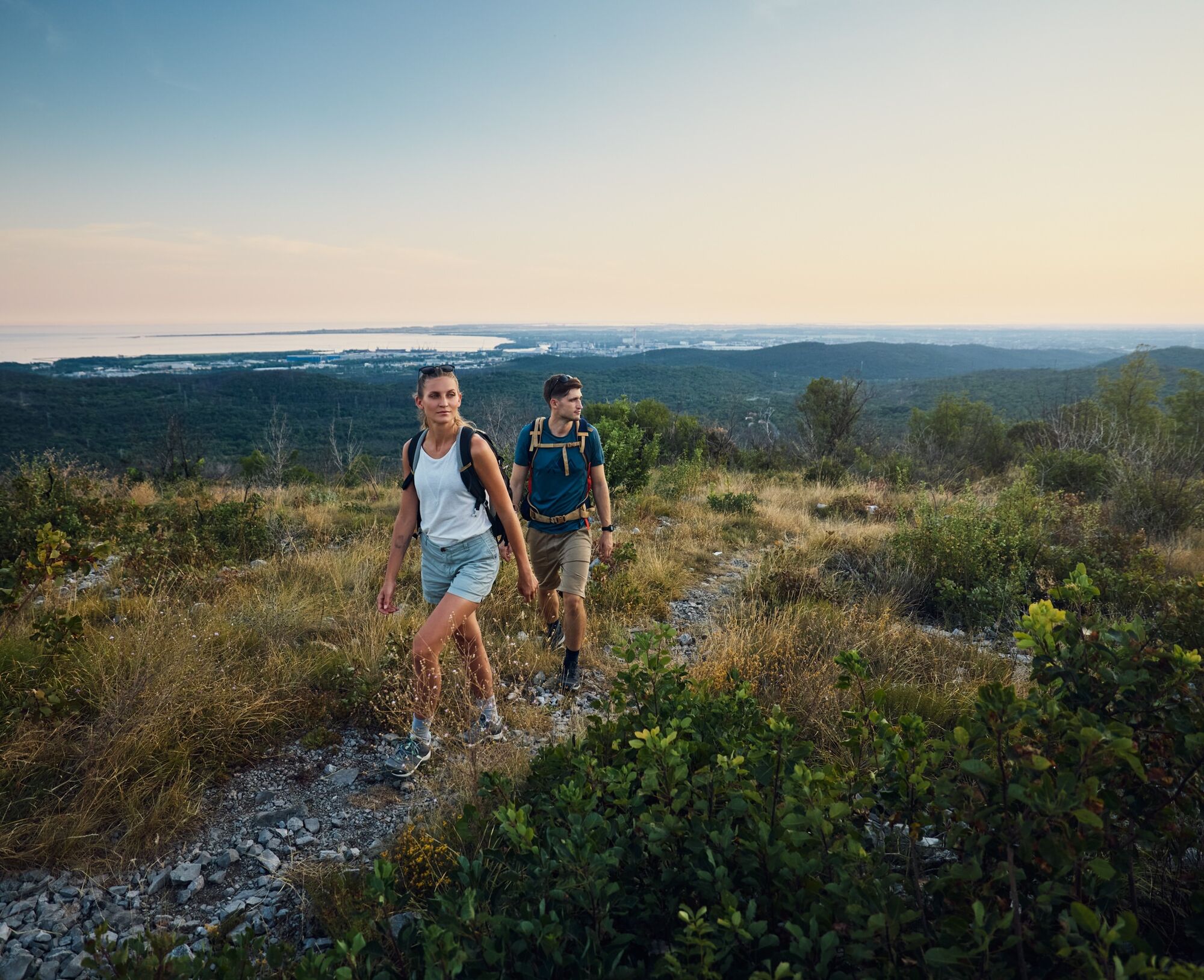
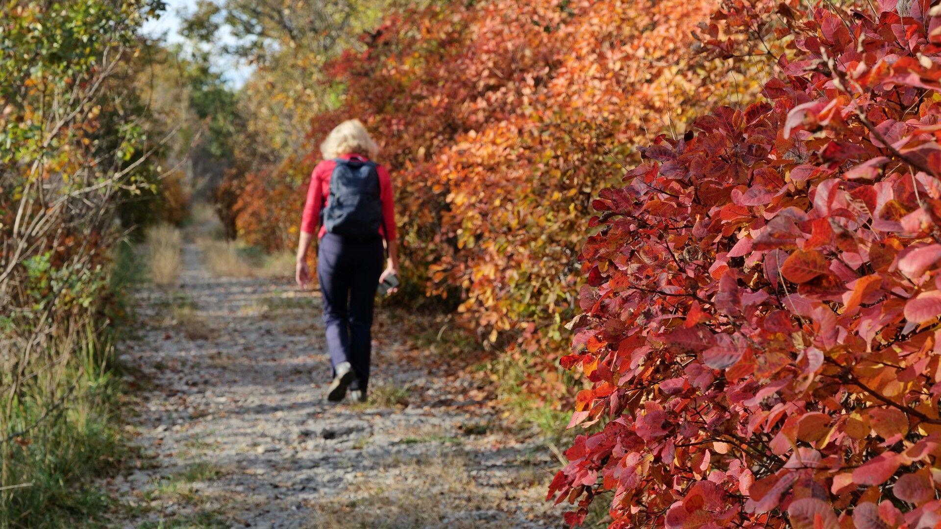
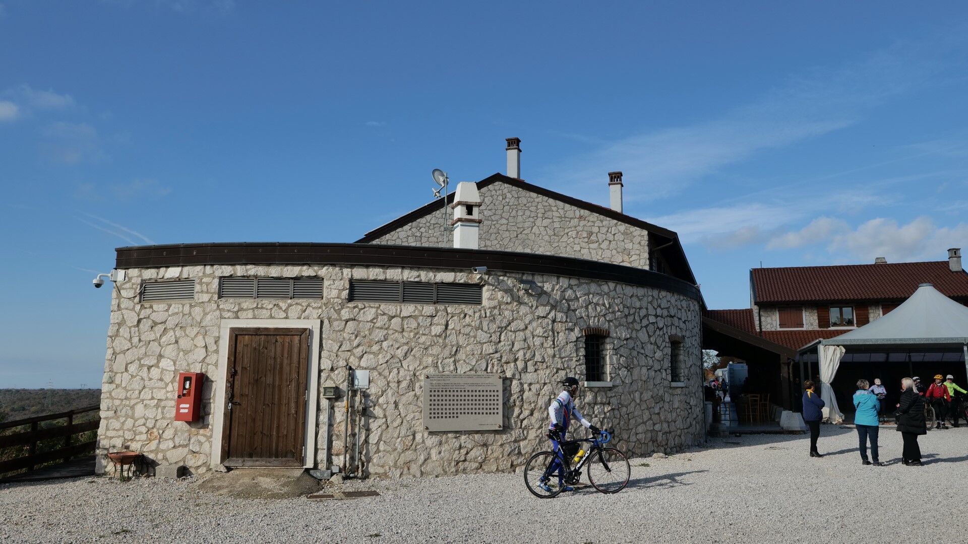

At the second crossroads, we follow the right turn to the top of Gorjupa Kupe. At the top, where there is a monument to fallen soldiers, a beautiful view of the Gulf of Trieste opens up.
From the top, we descend to the Doberdob Lake / Lago di Doberdò. We reach the lake at a viewpoint, which is flooded and inaccessible at high water levels. We continue along the eastern shore of the lake to the opposite side to the fork for the CAI trail, which leads upwards towards Gradina.
Before turning uphill, we can walk straight ahead for about 200 m along the path we came on to the salt marshes by Doberdob Lake. Although the building is still awaiting final renovation, just behind it we can admire the mysterious springs that flow into the lake. Then we return to the fork for the CAI trail.
We ascend to the Cadorna shelter, from there we continue horizontally to the left along the edge of the escarpment to the Gradina Reception Center.
We continue uphill and through the karst plains of Ograde to the other side, where we descend to PalkišÄ / Palchisce. The terrain is indistinct, there are many intersections, so we must pay attention to the signs and GPX tracks.
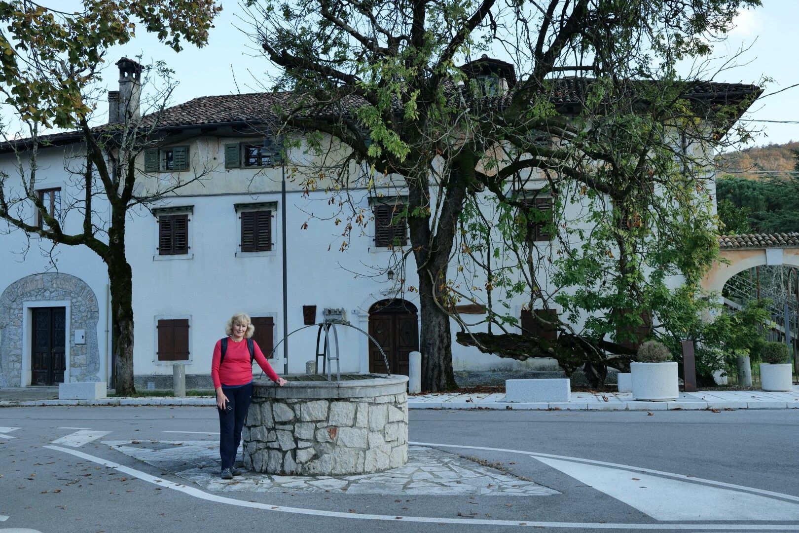
From PalkišÄ to Devetakov / Devetachi, we continue along a side asphalt road. In the village of Vižintini / Visintini, we can visit the Hungarian chapel from the time of the First World War.
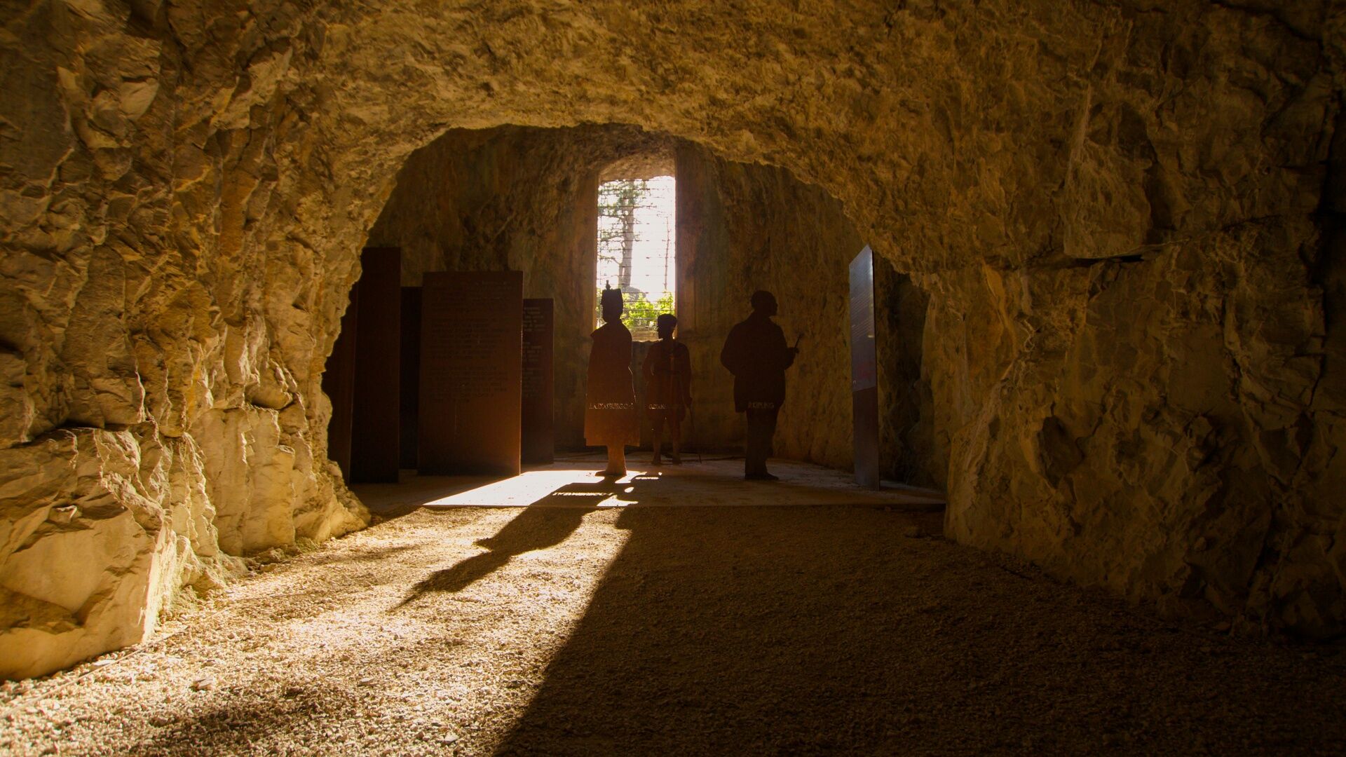
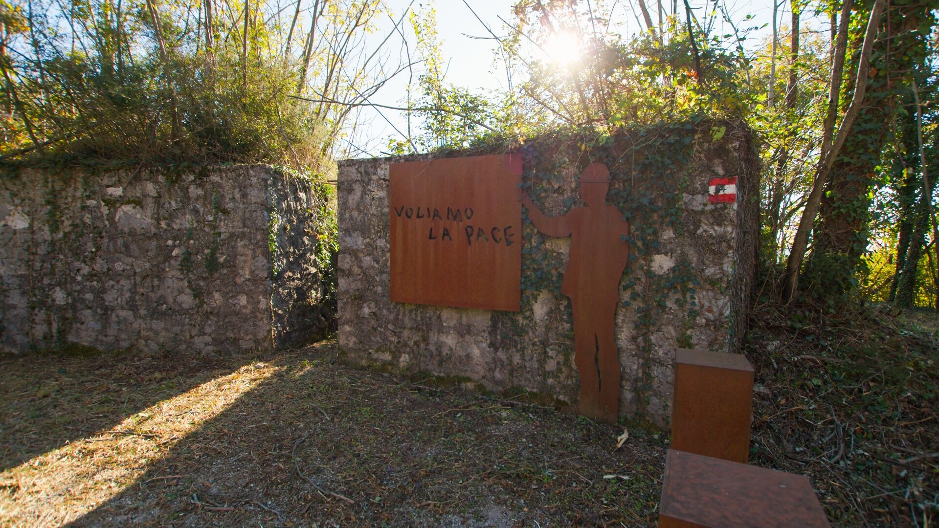
Before entering the village of Devetaki / Devetachi, at the place where we cross the main road, a dirt road branches off to the left and uphill, leading us to the top of Brestovec. It is worth taking time for this peak, visiting the highest point where there is a monument and an excellent viewpoint, and especially to visit the former artillery trench, where in the open-air Peace Trail museum the stories and messages of soldiers from the First World War are presented.
Through the forest, passing remnants of defensive lines, we descend into the village of Gabrje / Gabria. We continue to the main road and cross it, then continue along the bank of the Vipava River to Miren.
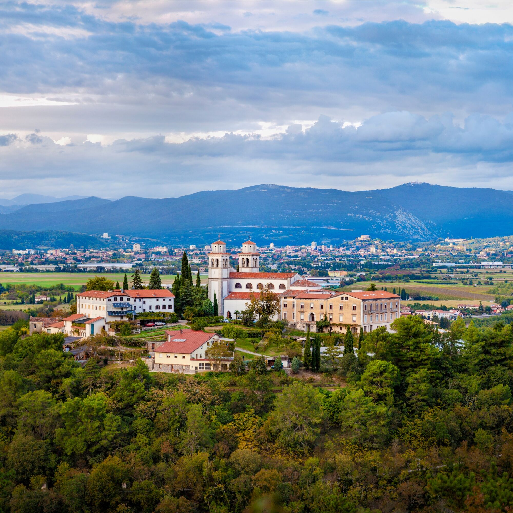
Under Miren Castle, before entering the central part of the town, we return along the eastern edge of the settlement to the river. Crossing the bridge to the other side, we continue along the riverside path to the next bridge, which leads us back into the town center, back to the parking lot in front of the municipal building, where our Carsus Trail path officially begins.
Tak
Tak
Regular hiking equipment: lighter hiking shoes and clothing suitable for the season.
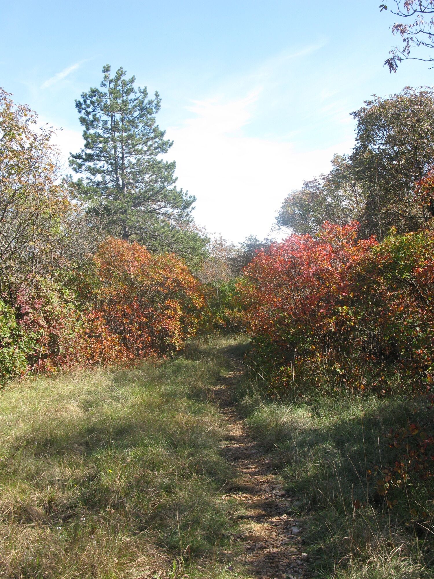
The path is passable all year round, the best and most beautiful are spring and autumn. Even in winter, the Green Heart of the Karst in Slovenia and Italy will not disappoint; only in summer do we have to accept the possibility of high temperatures.
By car, you can reach Jamlje / Jamiano via the regional road from the direction of Trieste / Trieste or Gorizia / Gorizia.
There is no public transport connecting the area along the stage. A bus runs through Jamlje / Jamiano towards Gorizia / Gorizia. Bus access is also possible to Miren.
We park at the parking lot in front of the Drejče tourist farm.
T2
At Brestovec, we must not miss the artillery trench, which is set up as an interesting and informative open-air museum on the Peace Trail.
Also in this stage of the Carsus Trail, we follow monuments from the time of the First World War. It is appropriate to read at least some information at home about the horrors of the SoÄa Front, which took place in this area.
Popularne wycieczki w okolicy
-
4,8
Rilkeweg
światłoWędrówka 6,19 km -
4,6
Grado !
światłoJazda na rowerze 45,5 km -
2,7
Grado - Triest (C204)
średniKolarstwo długodystansowe 68,2 km -
4,1
Grado - Città Giardino - Grado Pineta - Caramoddo
Jazda na rowerze 56,2 km -
4,0
Rundgang von Cormons
światłoWędrówka 7,31 km -
3,0
Die Isola della cona
światłoWędrówka 12,7 km -
Collio - Pierścień Brda (R014)
średniKolarstwo długodystansowe 60,6 km -
FVG 2/b Wariant krasowy (C2V2)
ciężkiKolarstwo długodystansowe 105,1 km -
5,0
Via Flavia Walk Stage 3 Miramare (Trieste) – Monfalcone
światłoTrasa pielgrzymki 25,3 km -
4,0
Etappe 33 Alpe-Adria-Trail: Gradisca d'Isonzo - Duino
średnidługodystansowy szlak pieszy 27,8 km
Wędrówki i tropienie


Nie przegap ofert i inspiracji na następne wakacje
Twój adres e-mail została dodana do listy mailingowej.





