



Geological trail of the Saimaa Ringed Seal

The Saimaa Seal trail consists of three routes, with a total distance of about 13 km. The trails are signposted. The path surface varies from needle to rock surface. Saimaa Geopark info signs are located...
The Saimaa Seal trail consists of three routes, with a total distance of about 13 km. The trails are signposted. The path surface varies from needle to rock surface. Saimaa Geopark info signs are located along the Saimaa Seal trail. Info signs tell about the geology of the area. You may also see a glimpse of the Saimaa ringed seal. The Saimaa Seal trail is suitable for recreational use all year round.
There are info signs, parking areas, campfire sites, swimming places, water point, outdoor toilet and viewpoints along the Saimaa Seal trail.
Saimaa Geopark sign in the Kaivanto parking area (pdf)
Saimaa Geopark small signs along the trail (pdf)
The Saimaa Seal trail on Saimaa Geopark website

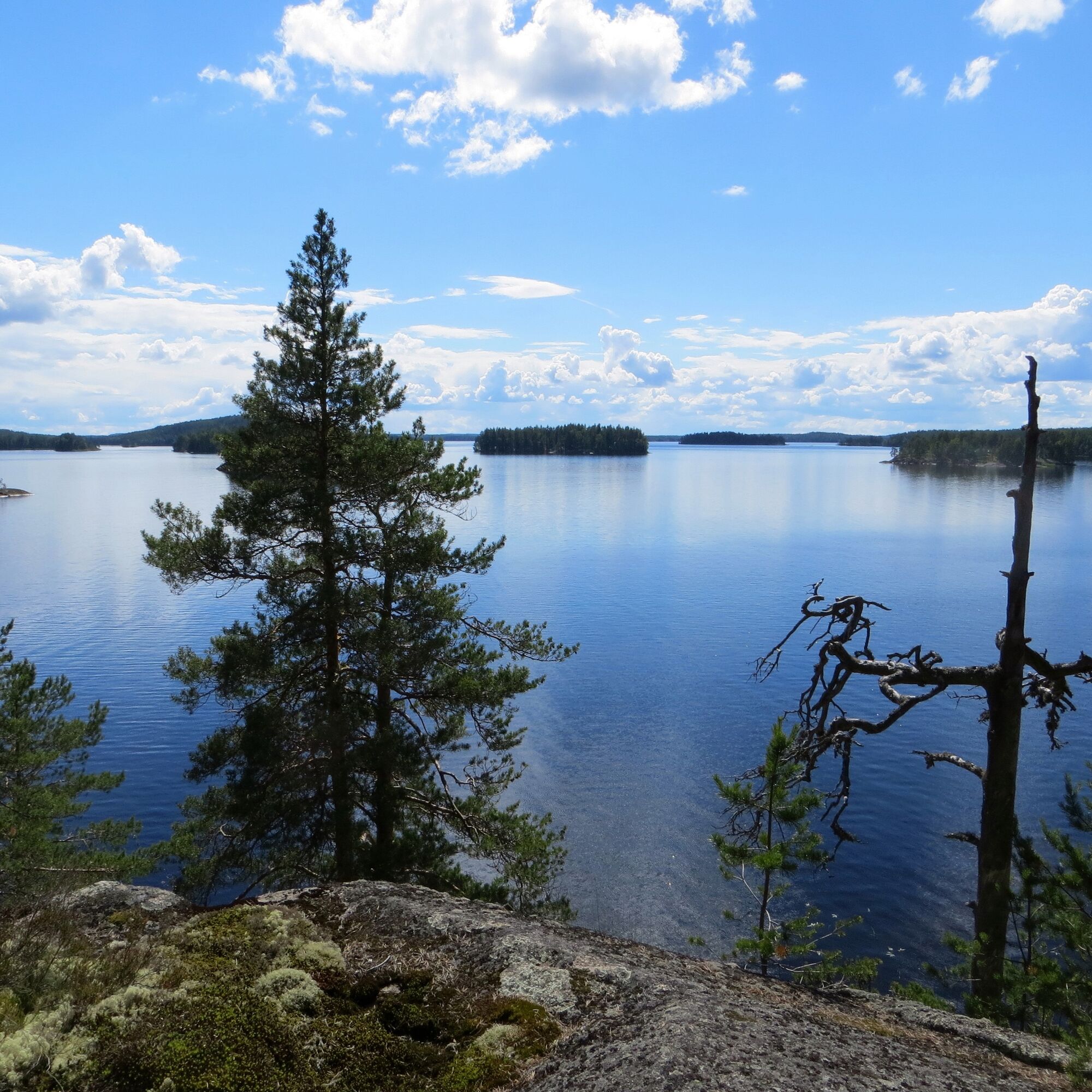
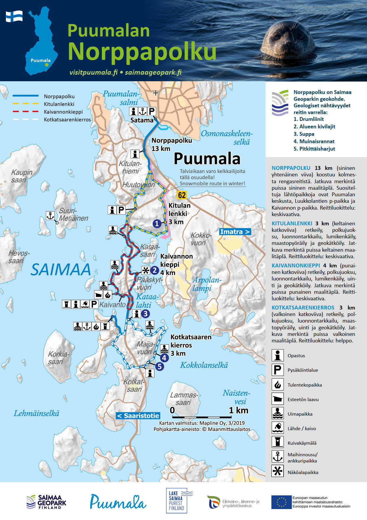
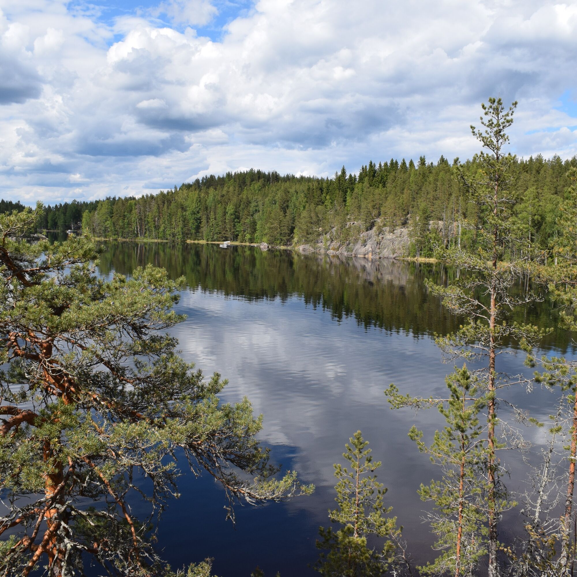
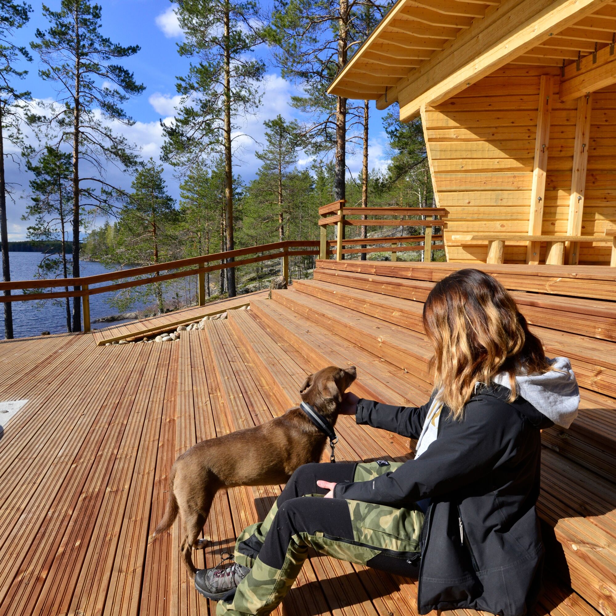
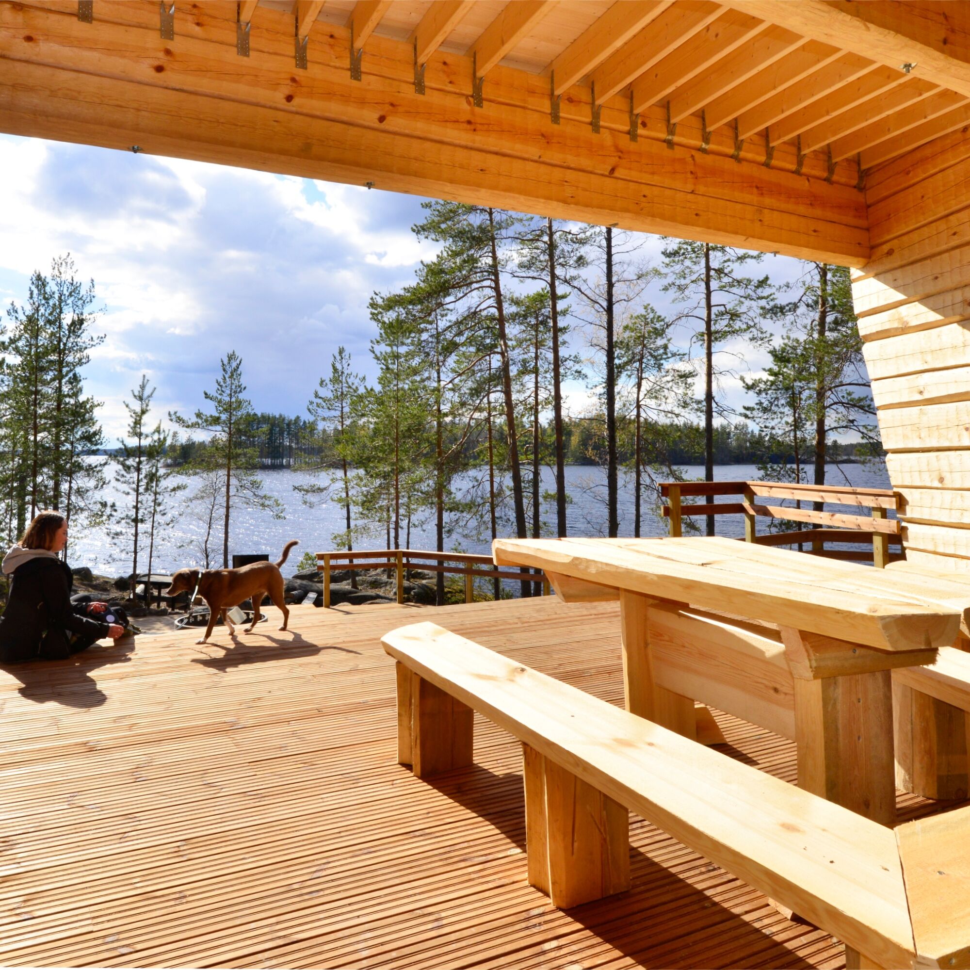
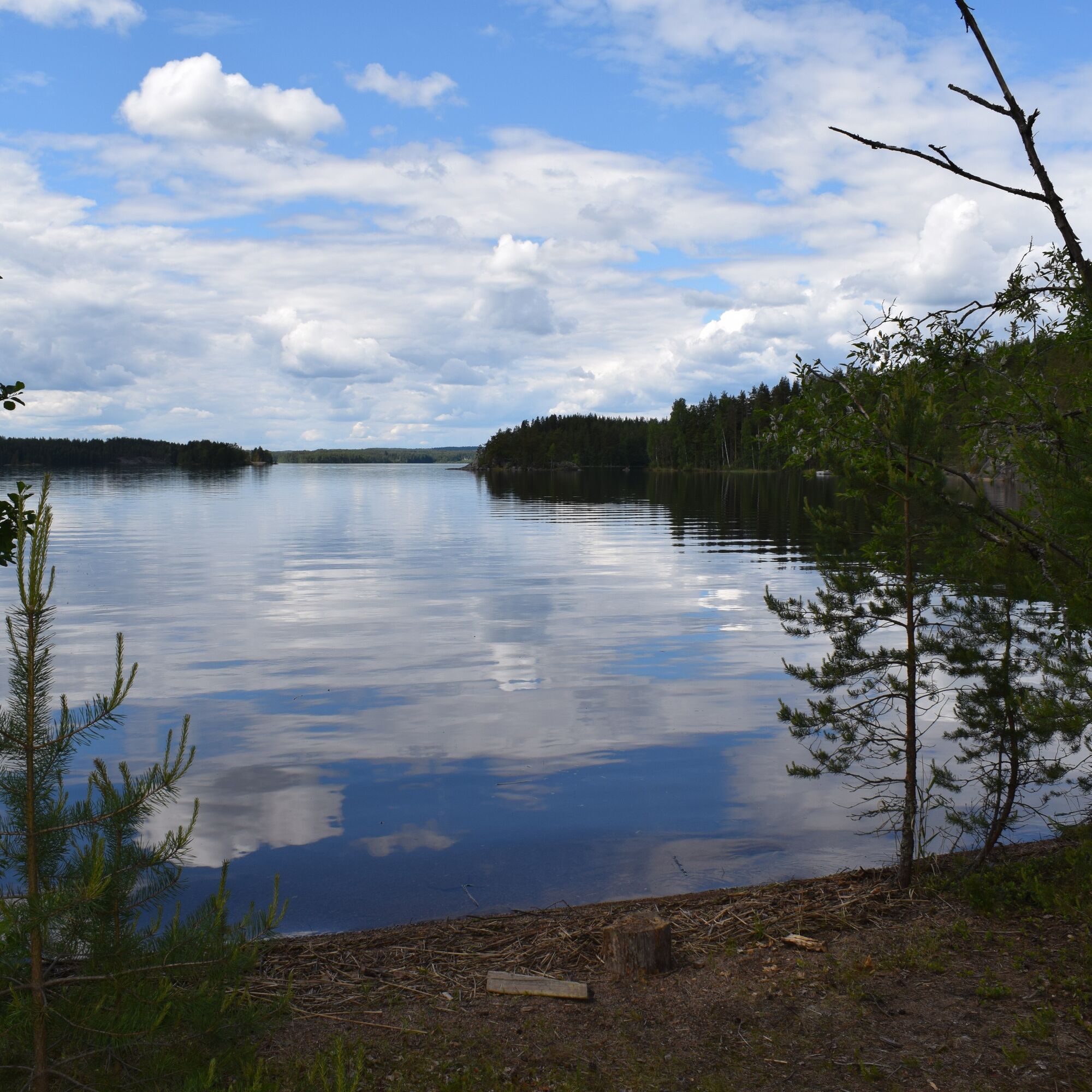
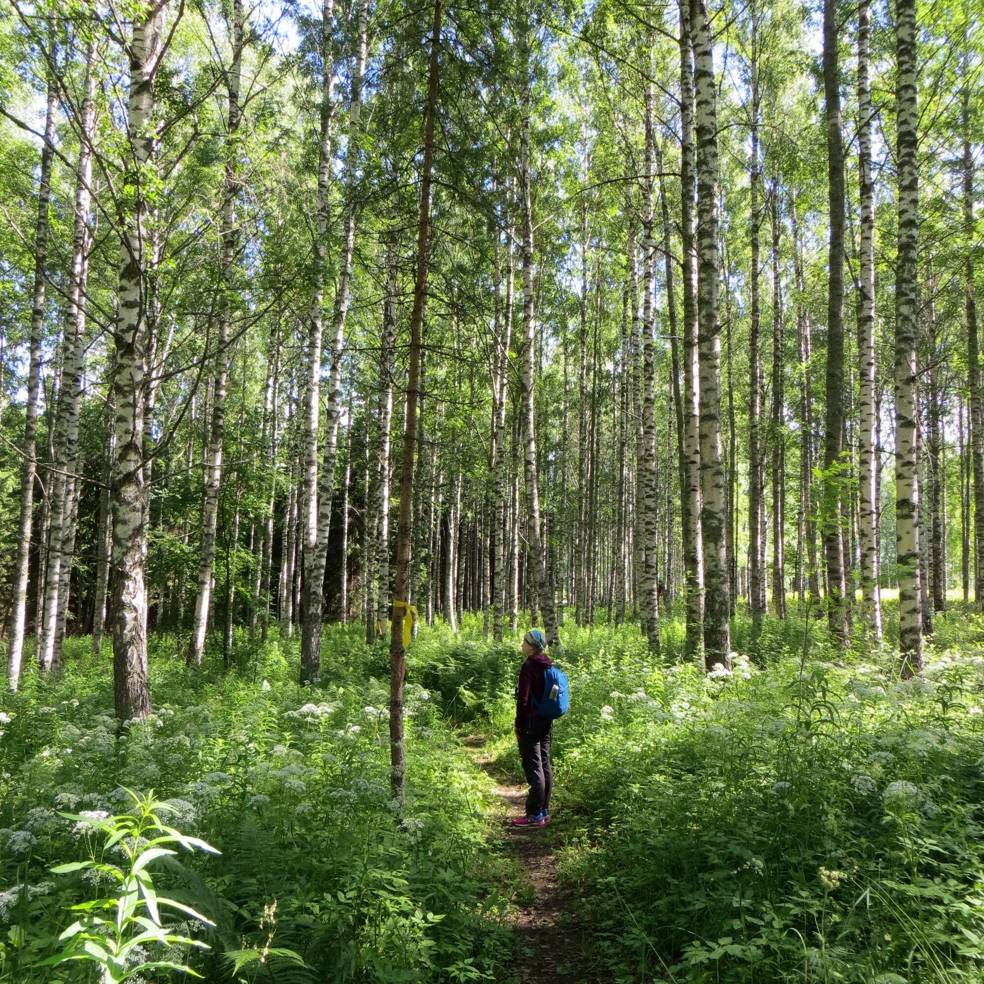
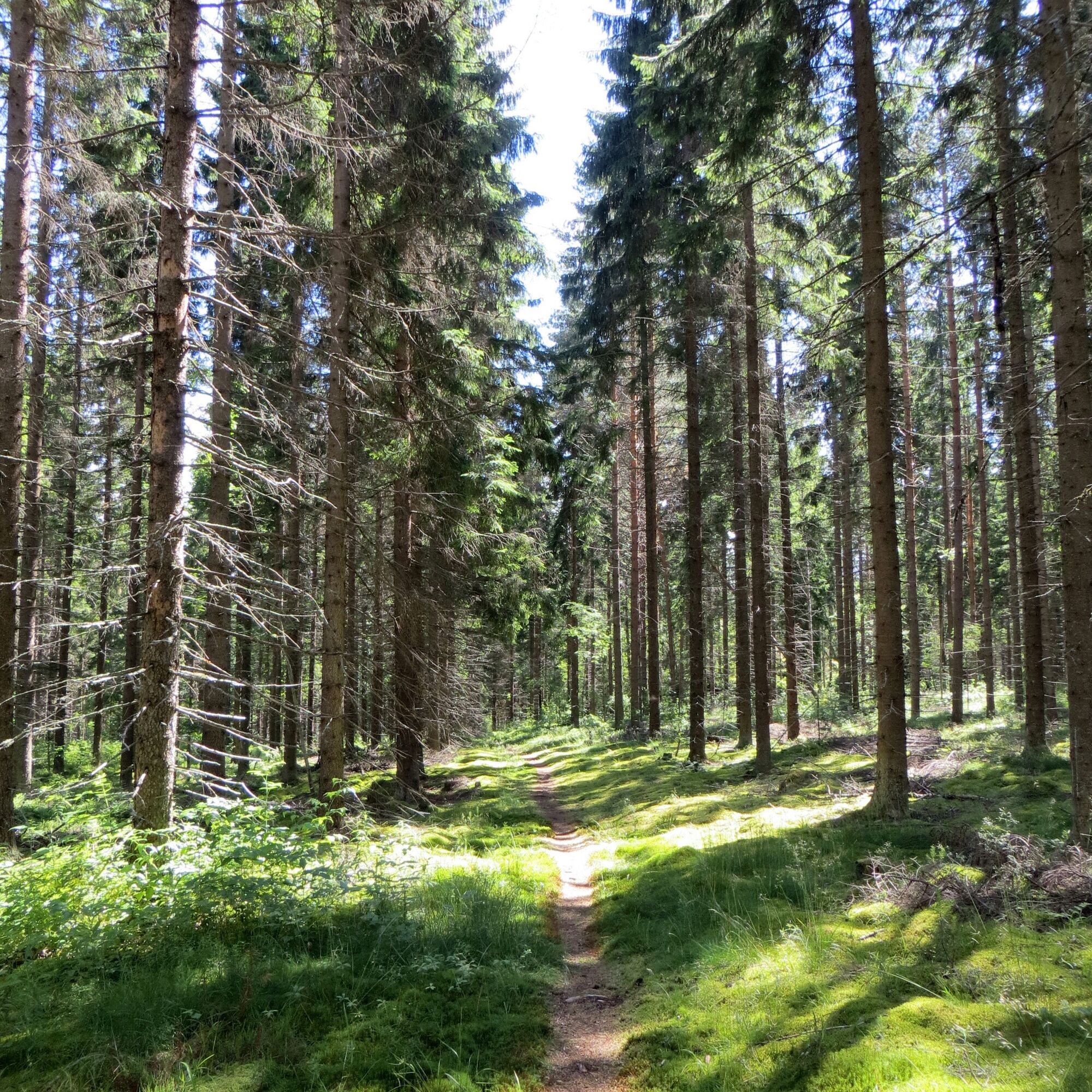
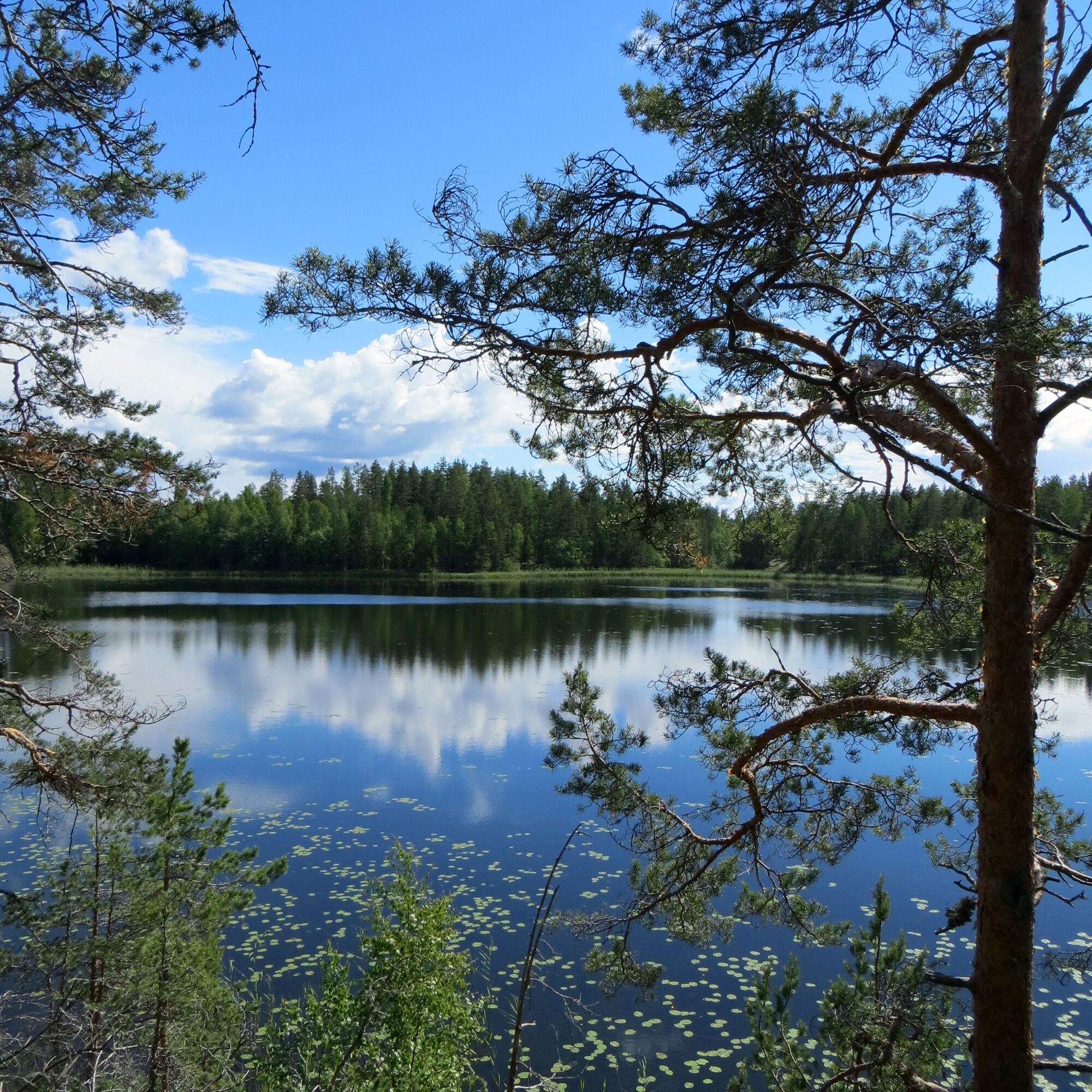
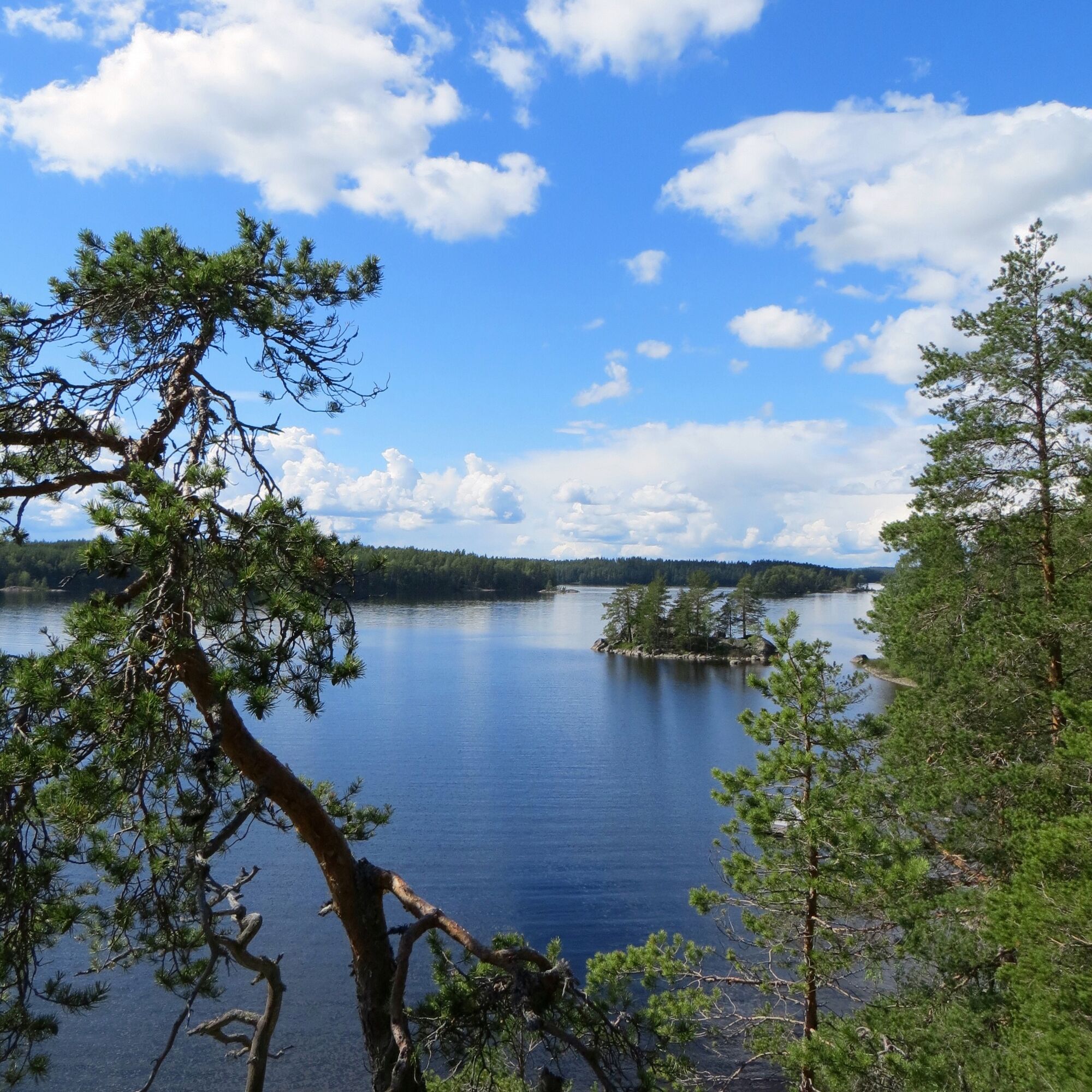
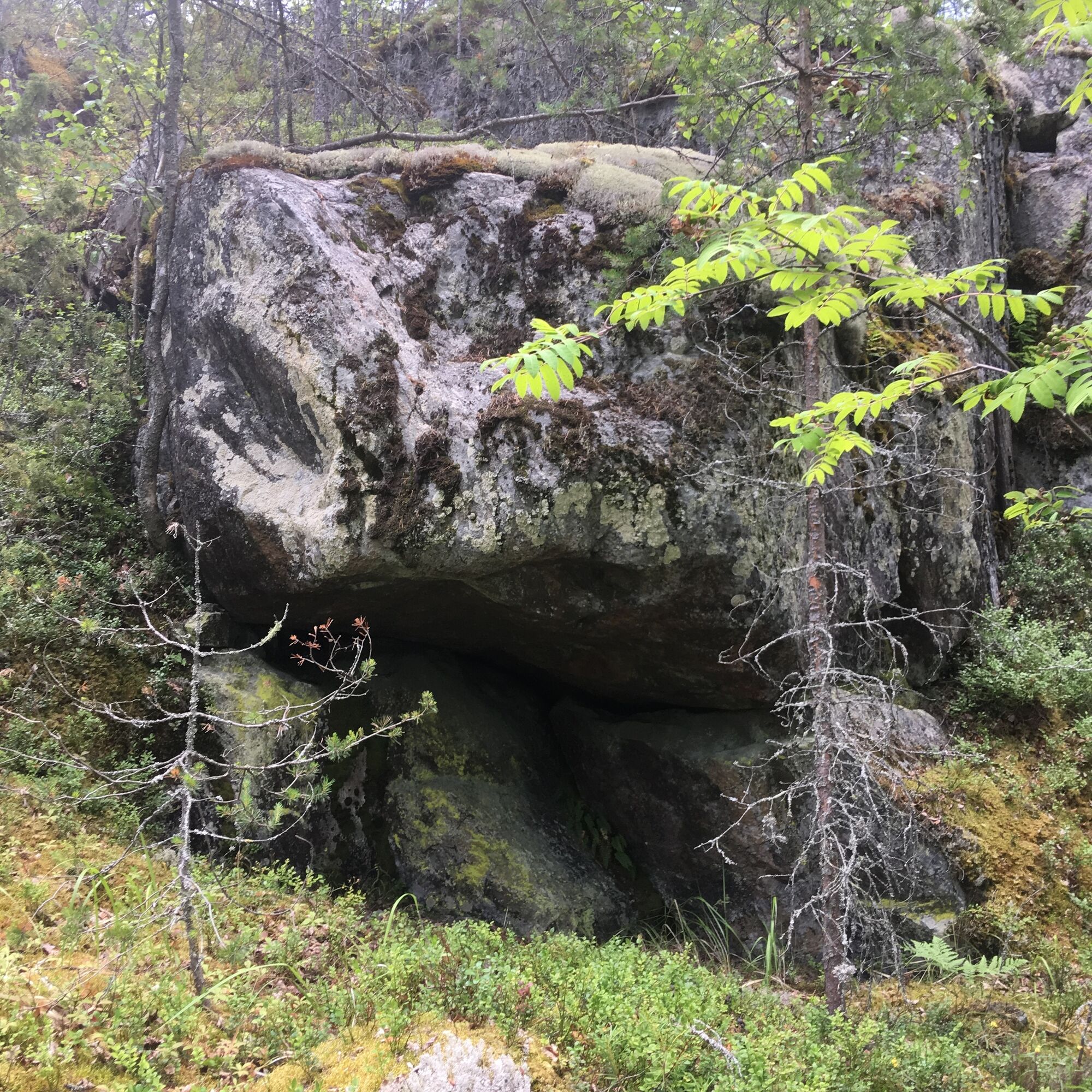
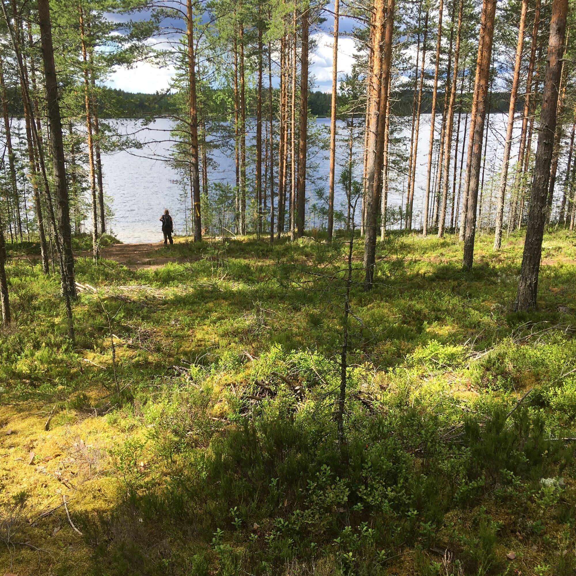
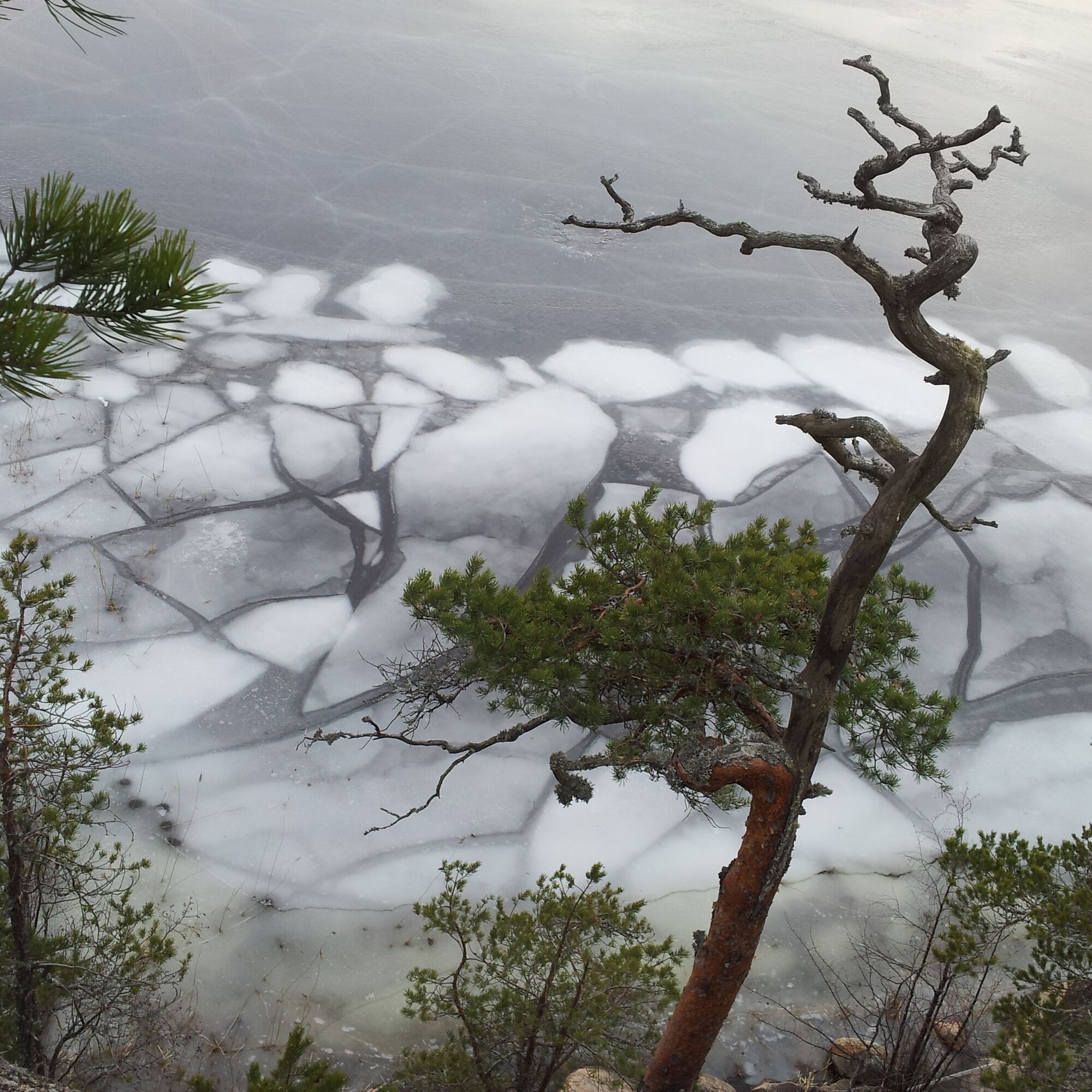
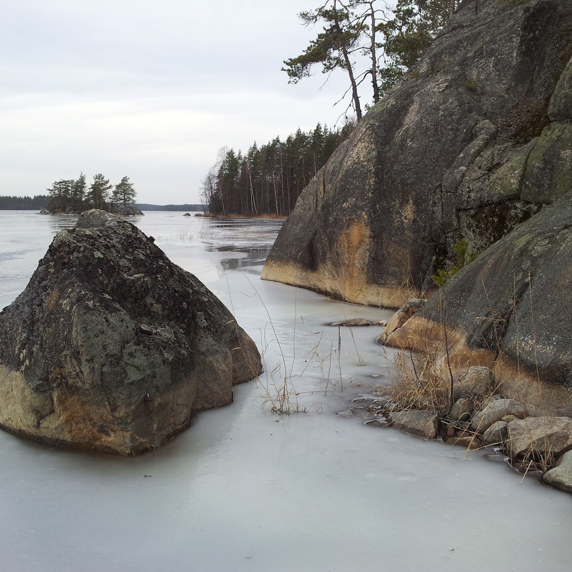
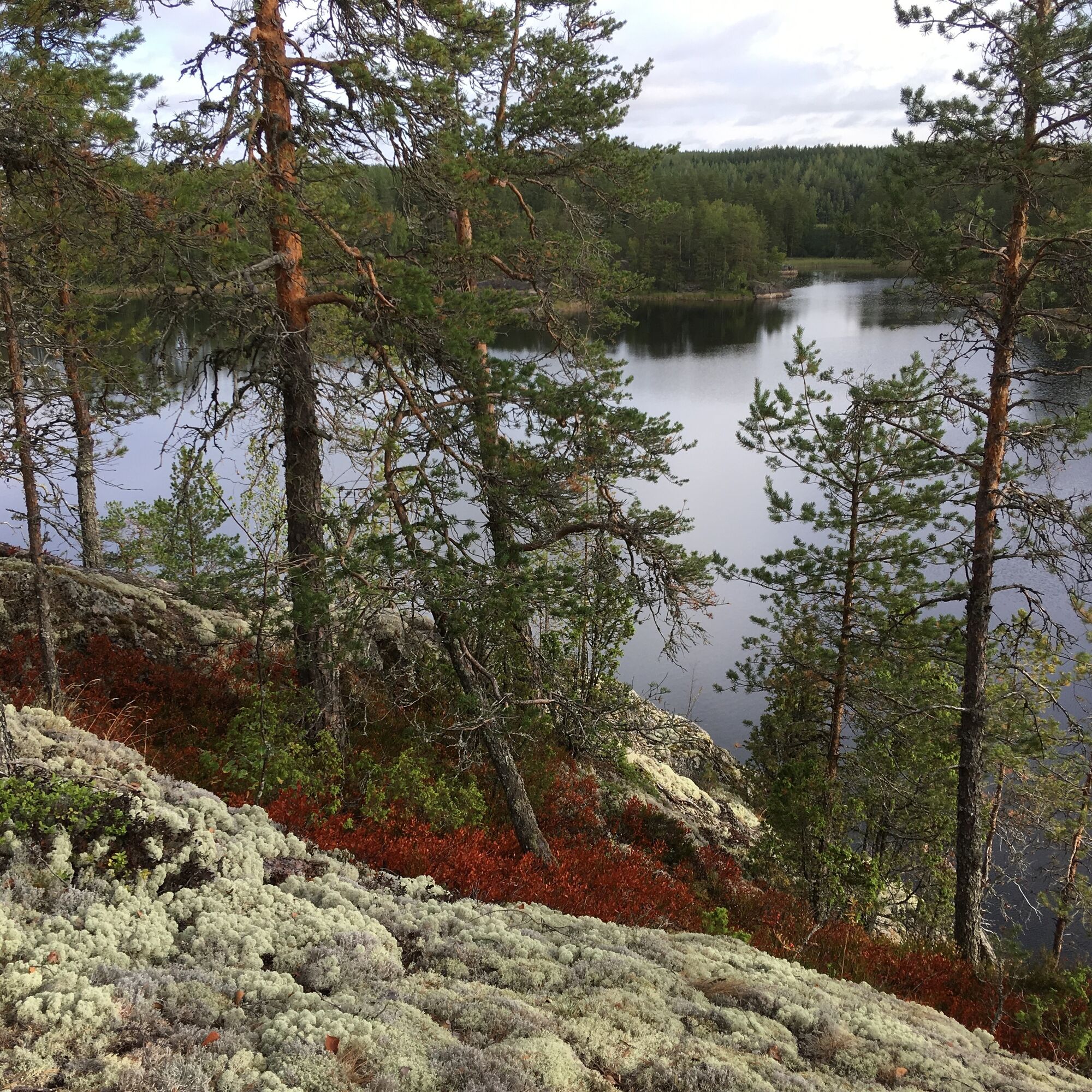
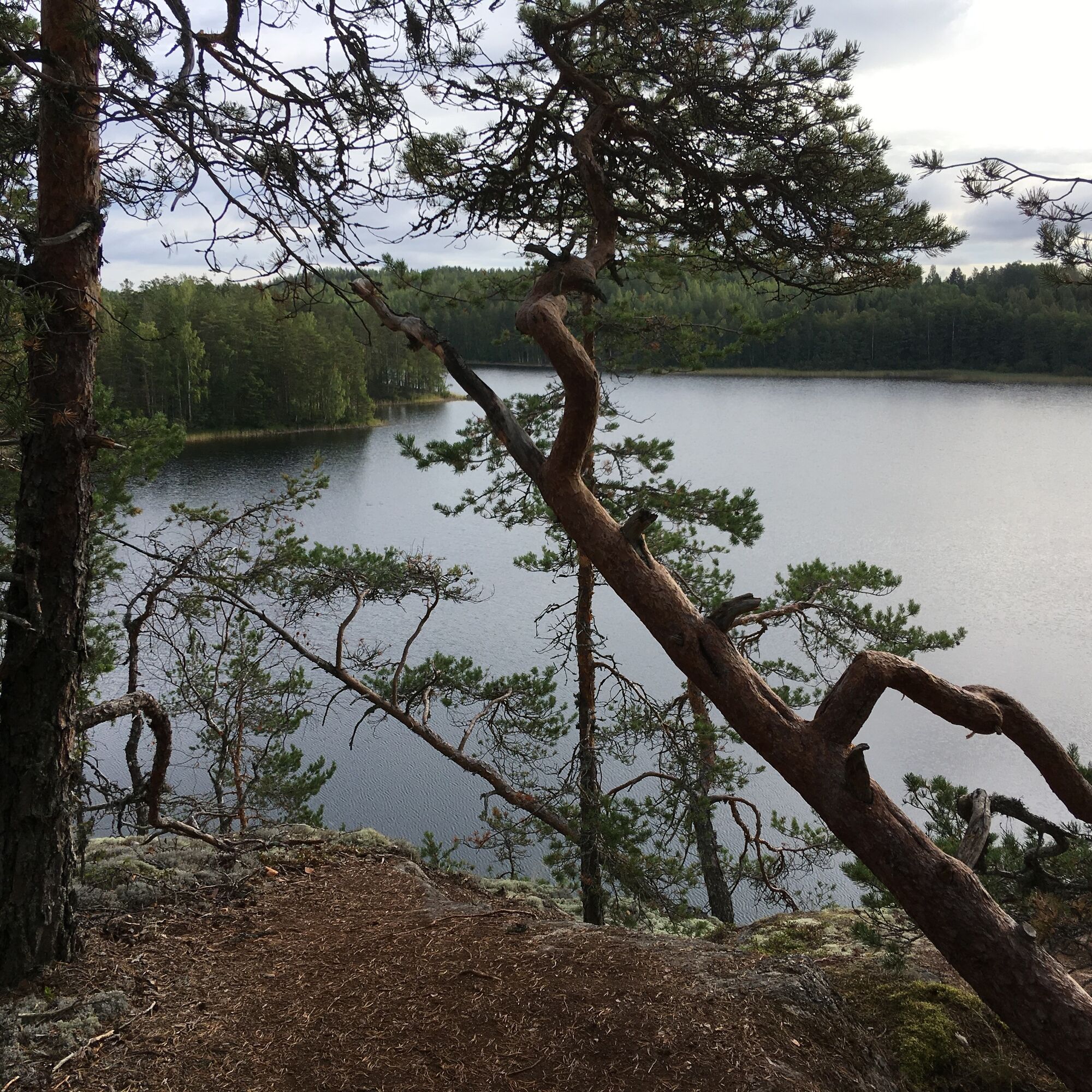
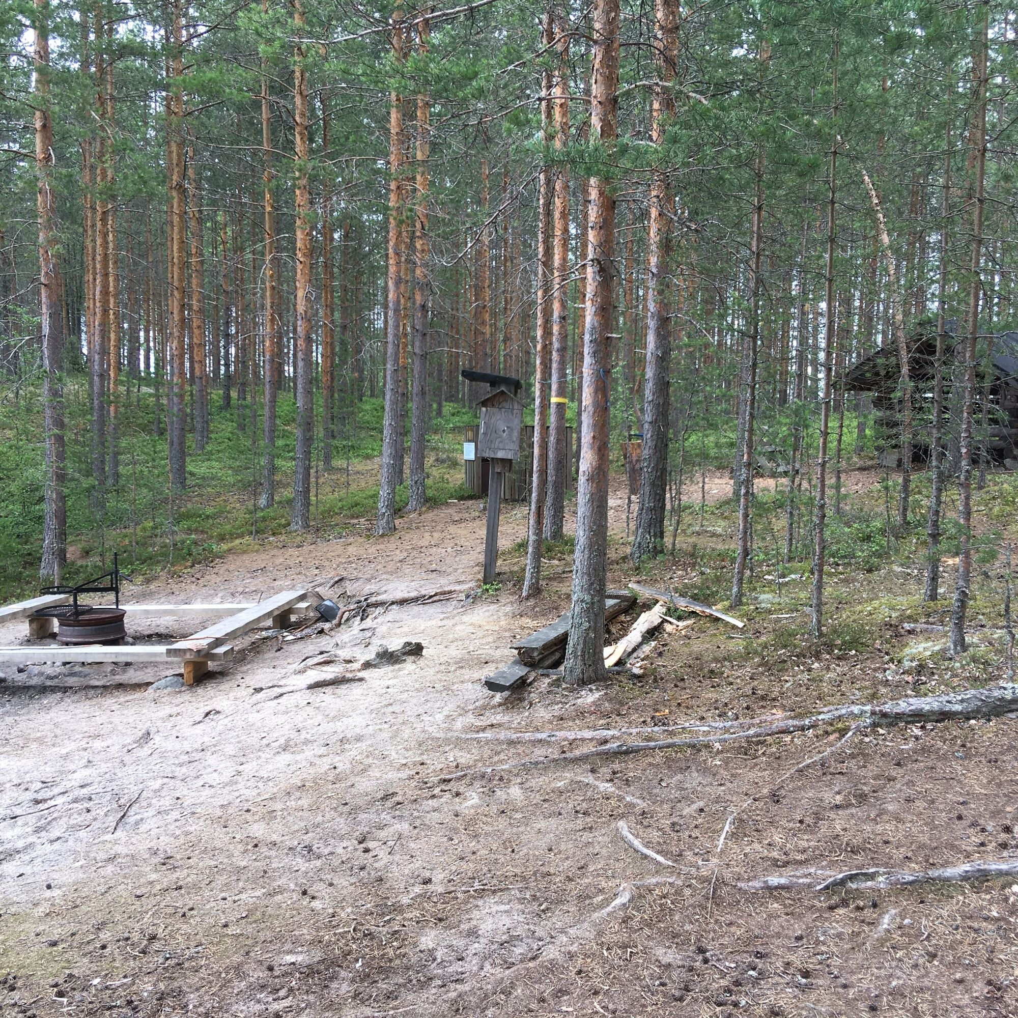
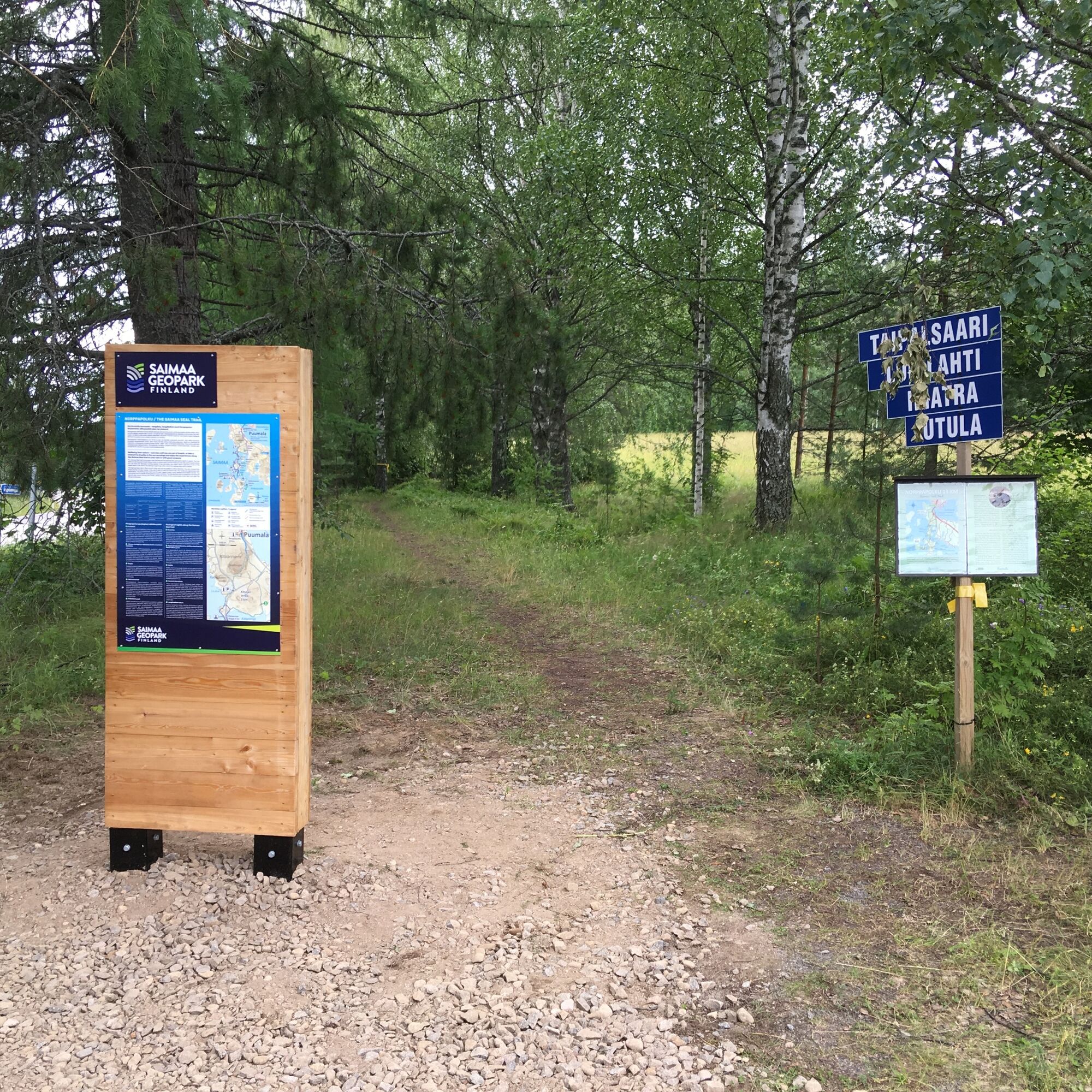
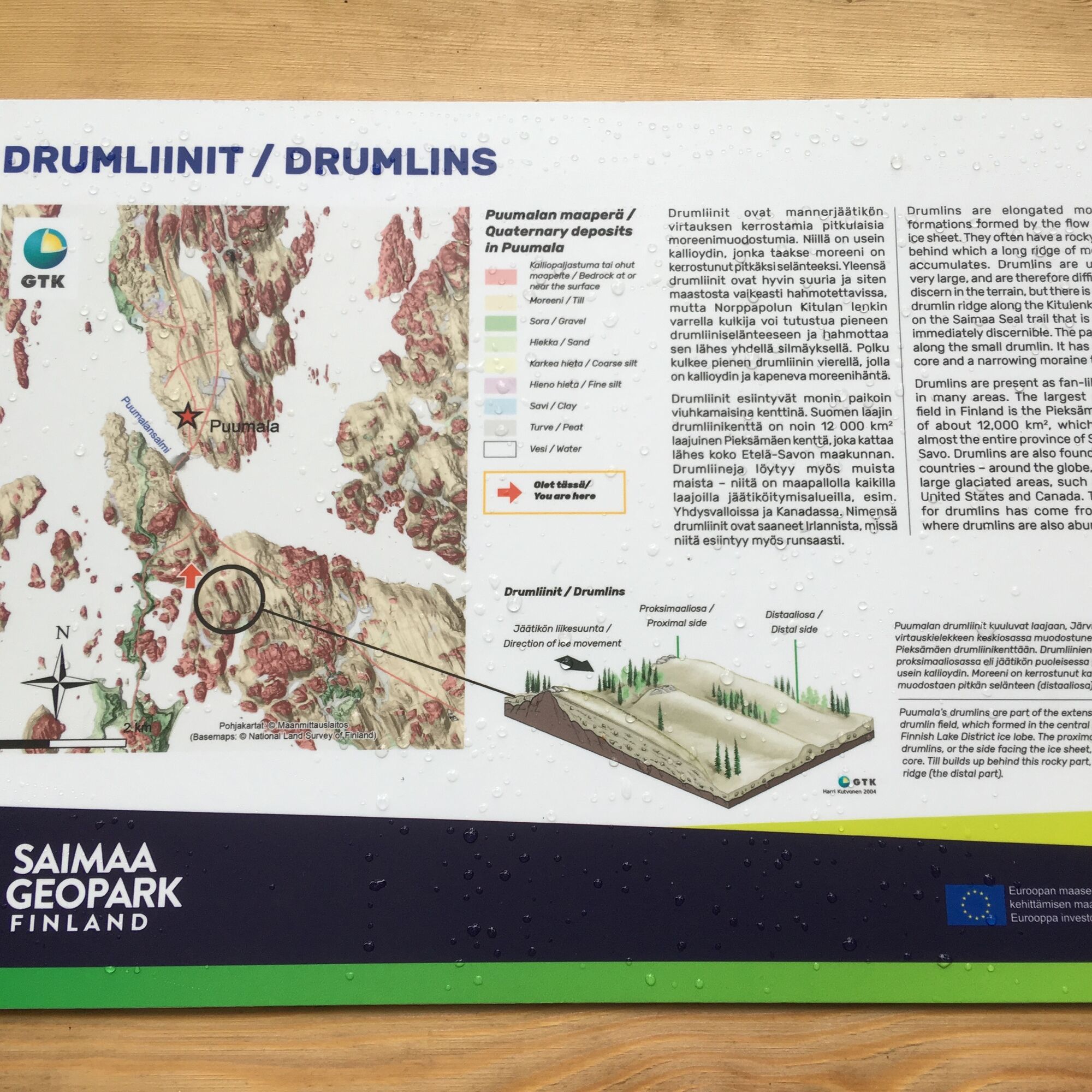
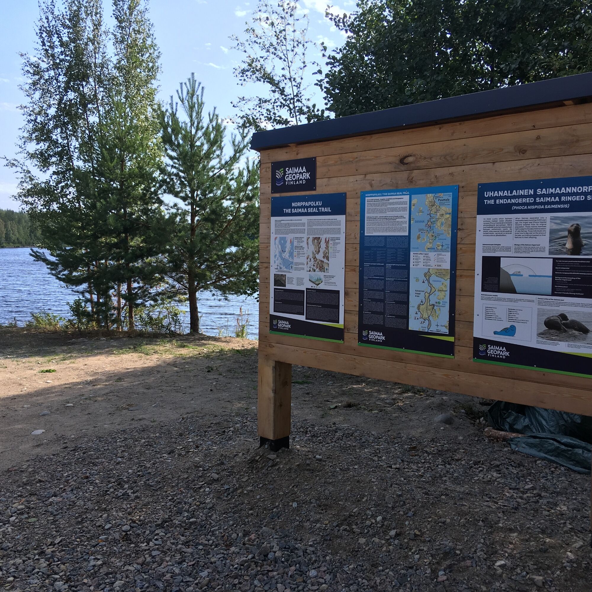
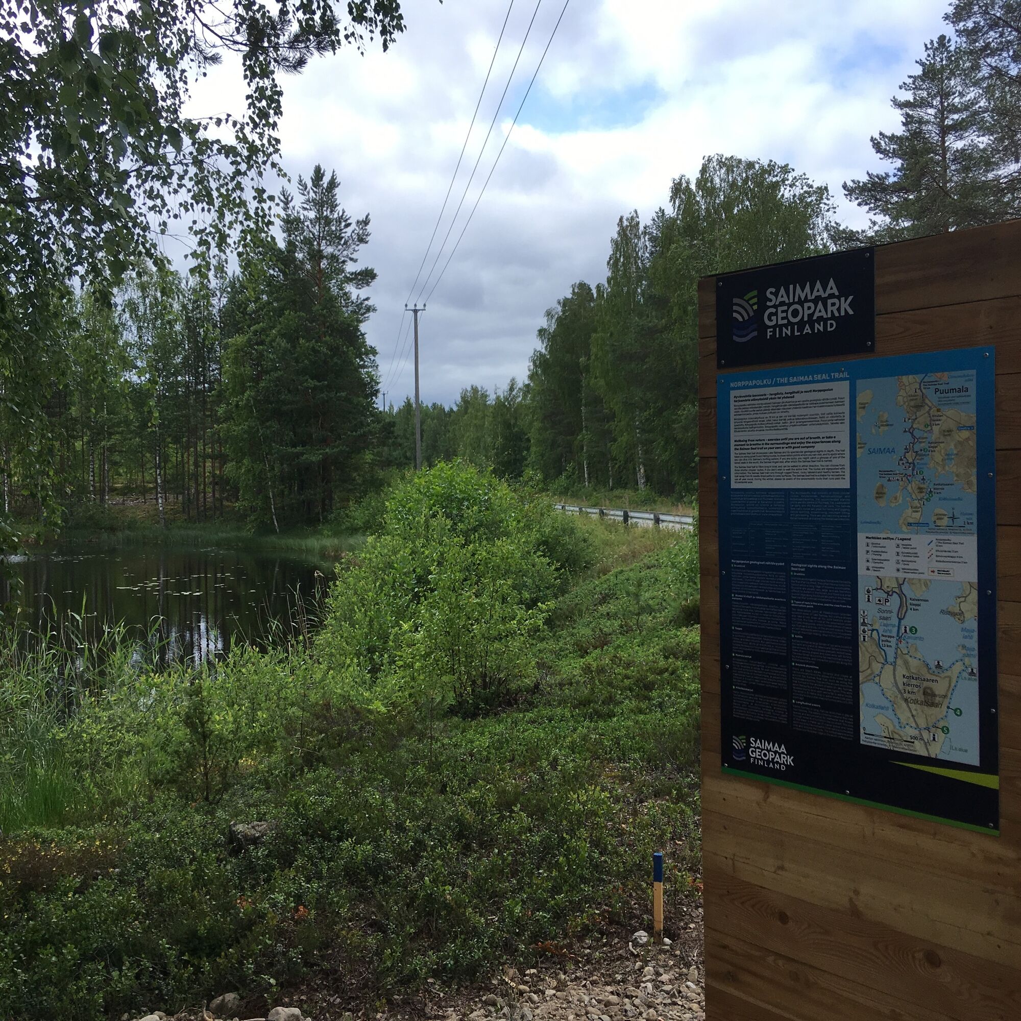

The Saimaa Seal trail consists of three circular routes: Kitulanlenkki, Kaivannonkieppi and Kotkatsaarenkierros. The total length of the route is 13 km and it is marked on trees with blue paint spots.
You can start the trail from the Puumala harbor, there is a parking area. From the harbor take the lift to the Puumalansalmi bridge over the strait. After the bridge, turn right onto Kotiniementie road and continue until you are at the actual starting point of the Saimaa Seal trail and the first signpost.
After the bridge, the Saimaa Seal trail starts as Kitulanlenkki. The yellow marked path is 3 km long and has a medium-challenging route classification. Along the Kitulanlenkki you will find a sign for the Saimaa Geopark, which tells about drumlins, moraine ridges formed in the same direction as the flow of the ancient glacier. The return part of the Kitulanlenkki passes through Luukkolantie's car park.
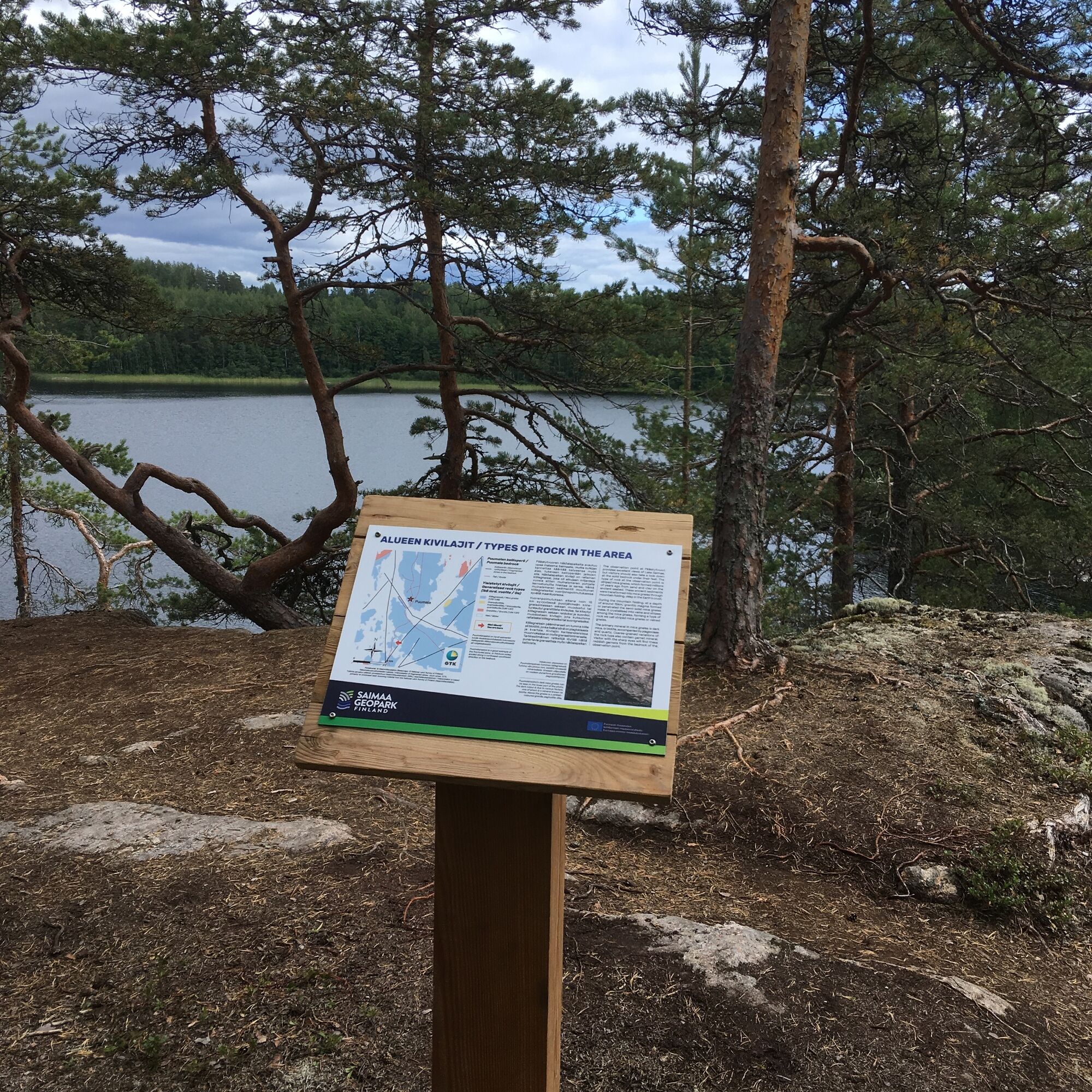
Next Saimaa Seal route is Kaivannonkieppi (4 km). It has a medium-challenging route classification and path is marked with red paint on the trees. There is a car park in the southern part of Kaivannonkieppi and at the edge of it a signpost of Saimaa Geopark and a water point. There is also an accessible lean-to shelter along the route, with campfire site. In the eastern part of the Kaivannonkieppi, there is a Saimaa Geopark sign on the Pääskytvuori lookout point, which tells you about the area's rock types.
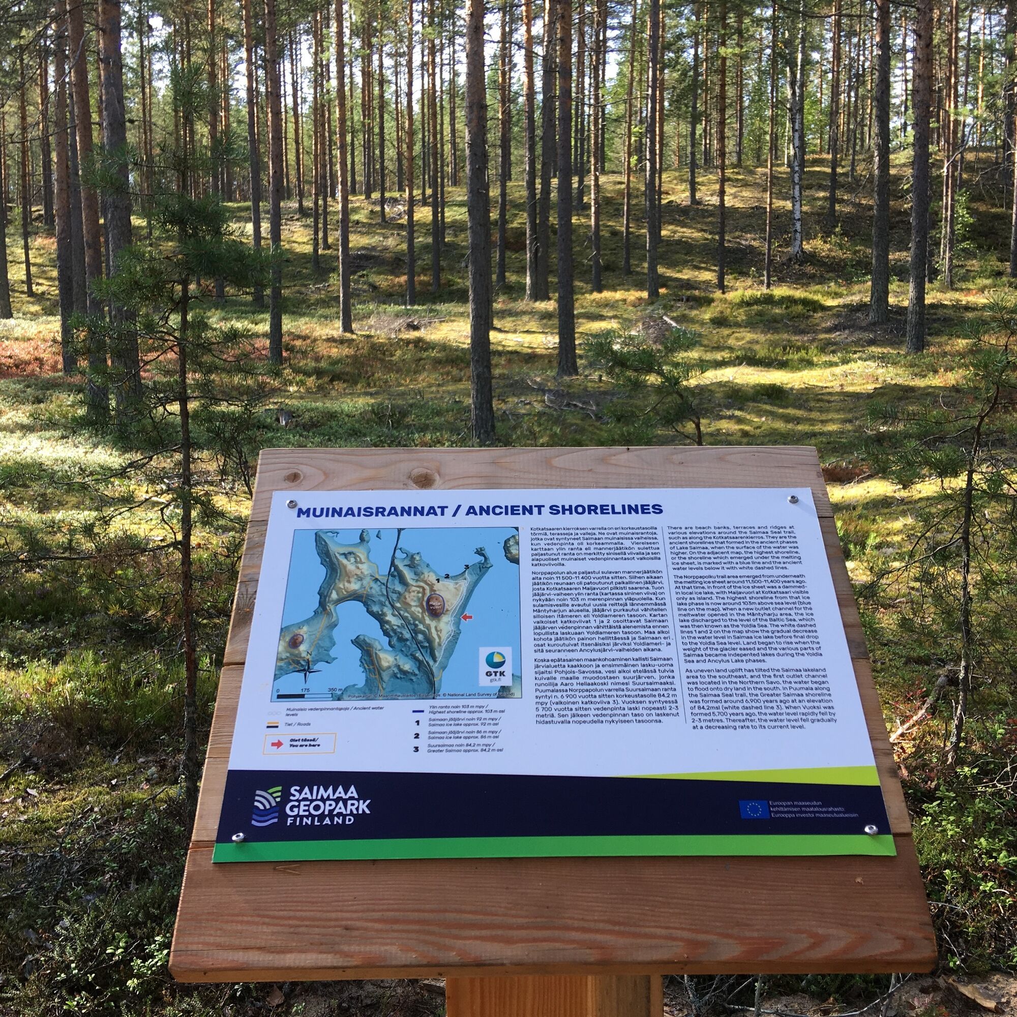
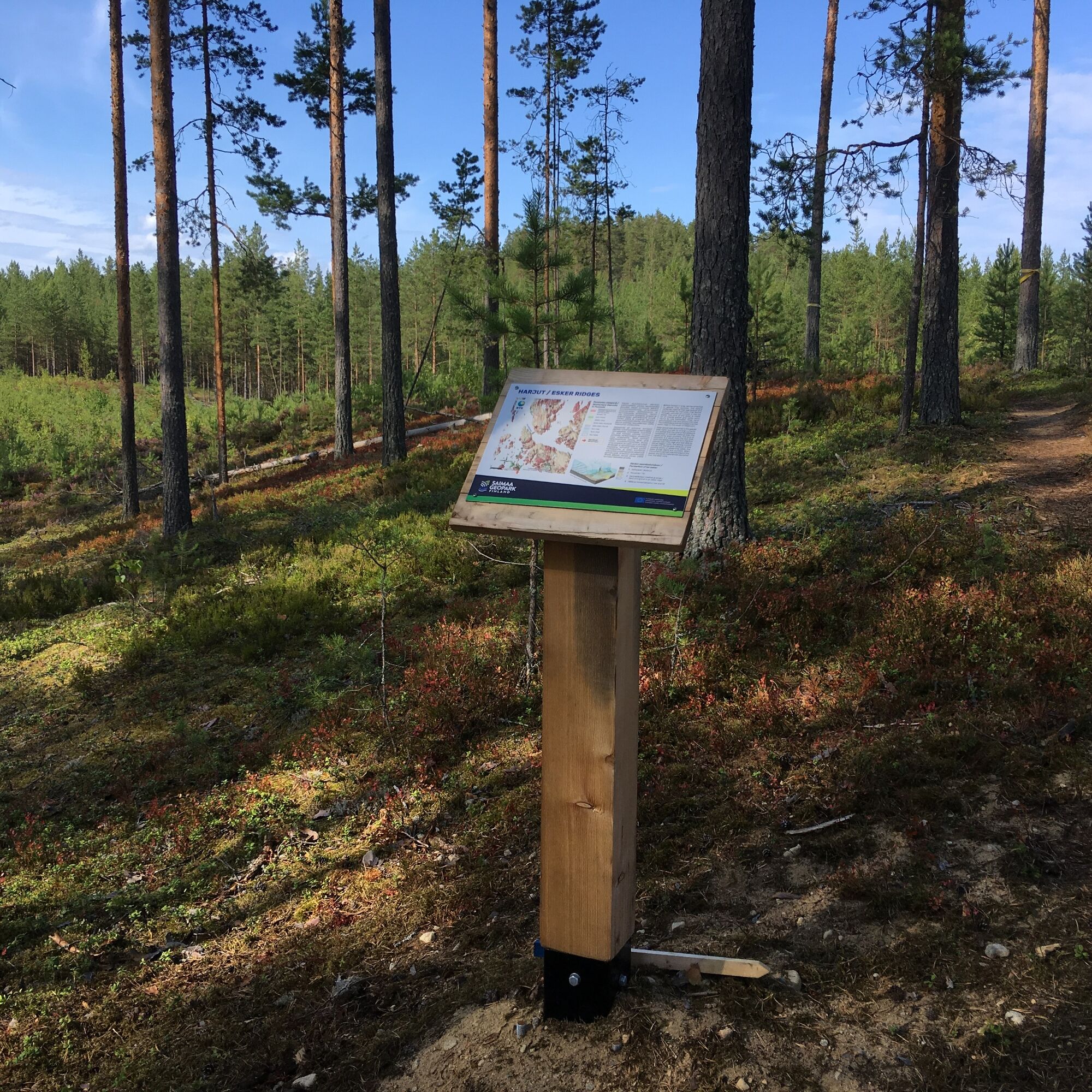
The southernmost route of the Saimaa Seal trail is the Kotkatsaarenkierros (3 km). Along the way, you can explore the kettle holes, ancient beaches and esker ridges with the help of Saimaa Geopark signs. The path is easy to traverse and marked on trees with white paint spots. From the northwestern part of the Kotkatsaarenkierros from Luukkolantie road you can reach another campfire site with a quay and an outdoor toilet. You can get there by choosing the Kerminhiekantie road and turning onto Laamaniementie road.
The recommended starting points are the centre of Puumala, the Luukkolantie car park, and the Kaivanto car park. The map and directions for the Saimaa Seal trail can be found at the signposts at the bridge tower, at the beginning of Kitulanlenkki, at the Luukkolantie and Kaivannonkieppi parking areas, and in the northern and southern parts of the Kotkatsaarenkierros. The Saimaa Seal trail’s routes are great for hiking and jogging, nature spotting, snowshoeing, mountain biking, and geocaching. There are also swimming areas at Kaivannonkieppi and along the Kotkatsaarenkierros. The Saimaa Seal trail can be rotated in both directions.
Tak
Tak
The Saimaa Seal trail’s routes are great for hiking and also for snowshoeing, mountain biking, and geocaching.
During the winter, please be aware of the snowmobile route that runs past the Kitulanlenkki area.
The Saimaa Seal trail is accessible from Kantatie 62 road, from which the Luukkolantie road starts and passes through the Saimaa Seal trail’s terrain.
There is a bus station in the center of Puumala. You can check public transport schedules, for example, Matkahuolto's schedule search.
There are several parking spaces along the Saimaa Seal trail.
Wellbeing from nature – exercise until you are out of breath, or take a moment to breathe in the surroundings and enjoy the experiences along the Saimaa Seal trail on your own or with good company!
Popularne wycieczki w okolicy
- 4,0
Nestorinranta - Rantapappila, Saimaa
średniJazda na rowerze 26,3 km Bike trip to the Saimaa Geopark scenery
średniKolarstwo długodystansowe 202,0 kmKummakivi erratic boulder geological trail
światłoTrasa tematyczna 2,23 kmGeological trail of Loketononkalo
średniTrasa tematyczna 0,55 km- 4,0
Puumala
światłoTrasa tematyczna 1,63 km Puumala
średniWędrówka 8,85 kmPuumala
ciężkiJazda na rowerze 23,9 kmPuumala
światłoTrasa tematyczna 1,84 kmMiekankoski - Nervanderin kumpu - Runebergin kumpu - Putikko
Kolarstwo długodystansowe 250,8 kmMiekankoski - Nervanderin kumpu - Runebergin kumpu - Putikko
Motorrad 250,8 km
Wędrówki i tropienie


Nie przegap ofert i inspiracji na następne wakacje
Twój adres e-mail została dodana do listy mailingowej.


