


The geological trail of Imatra Lammassaari island
Lammassaari Island offers three time domains to those interested in the history of landscapes. On these trails, you can find samples of ancient bedrock and the island itself is a result of glacioflluvial...
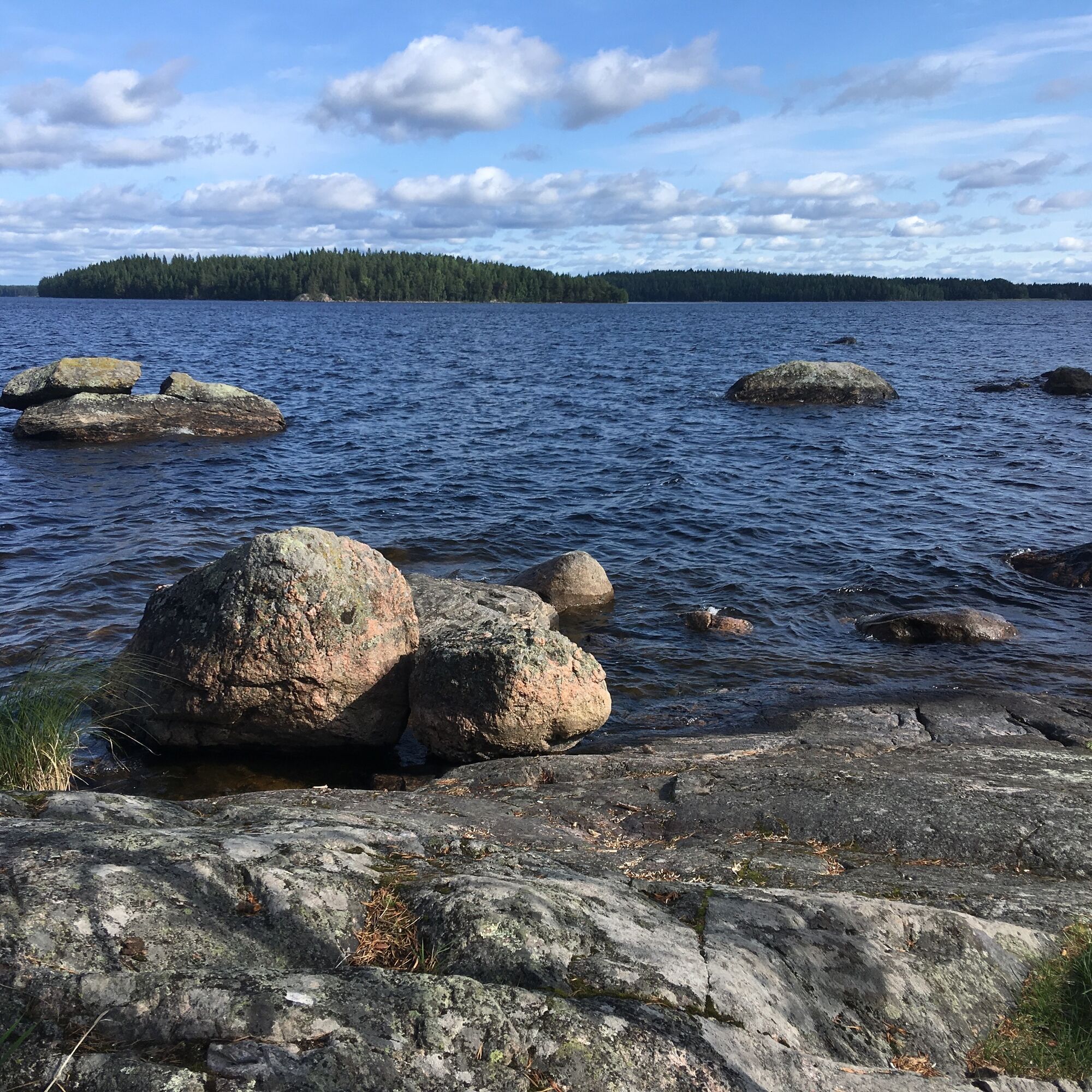
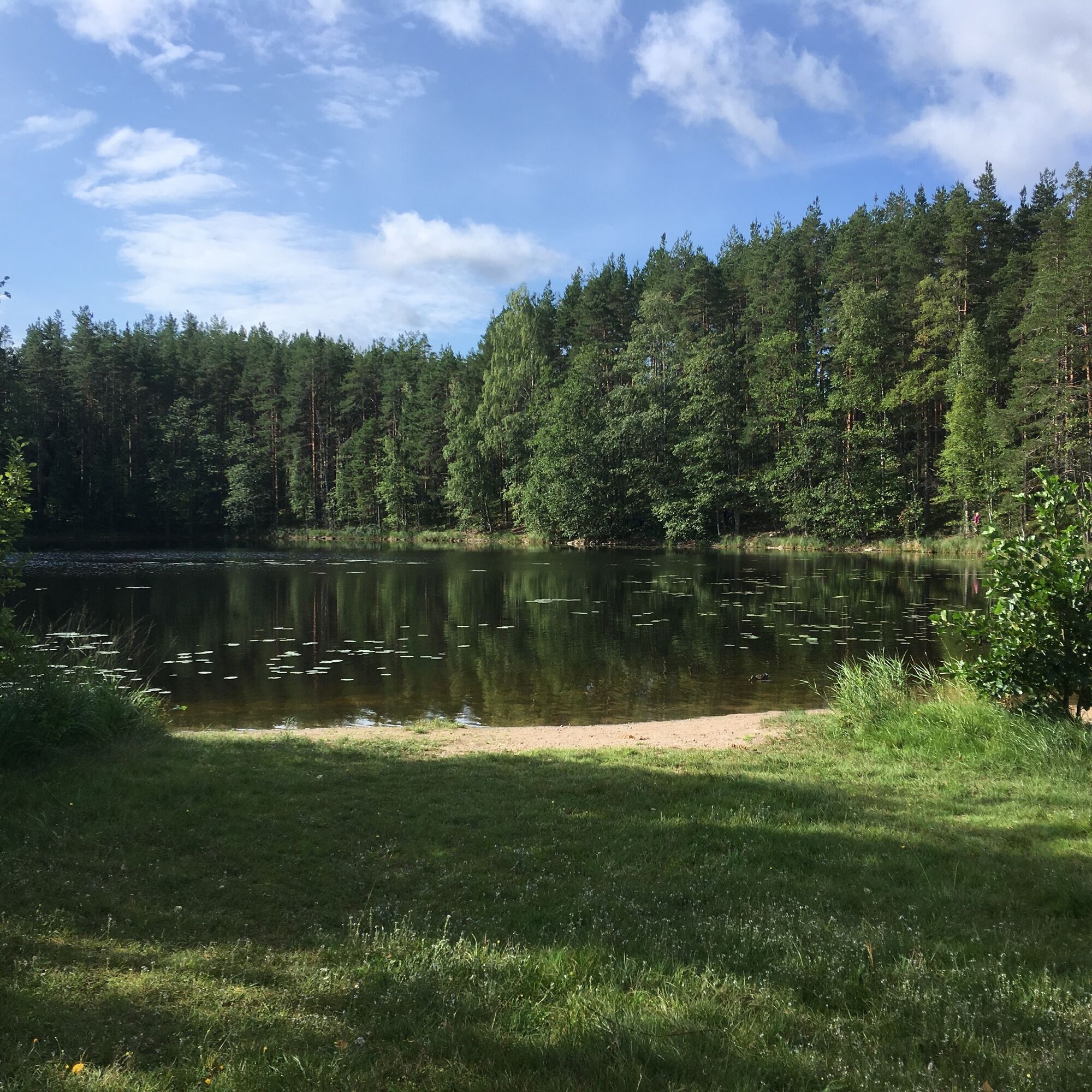
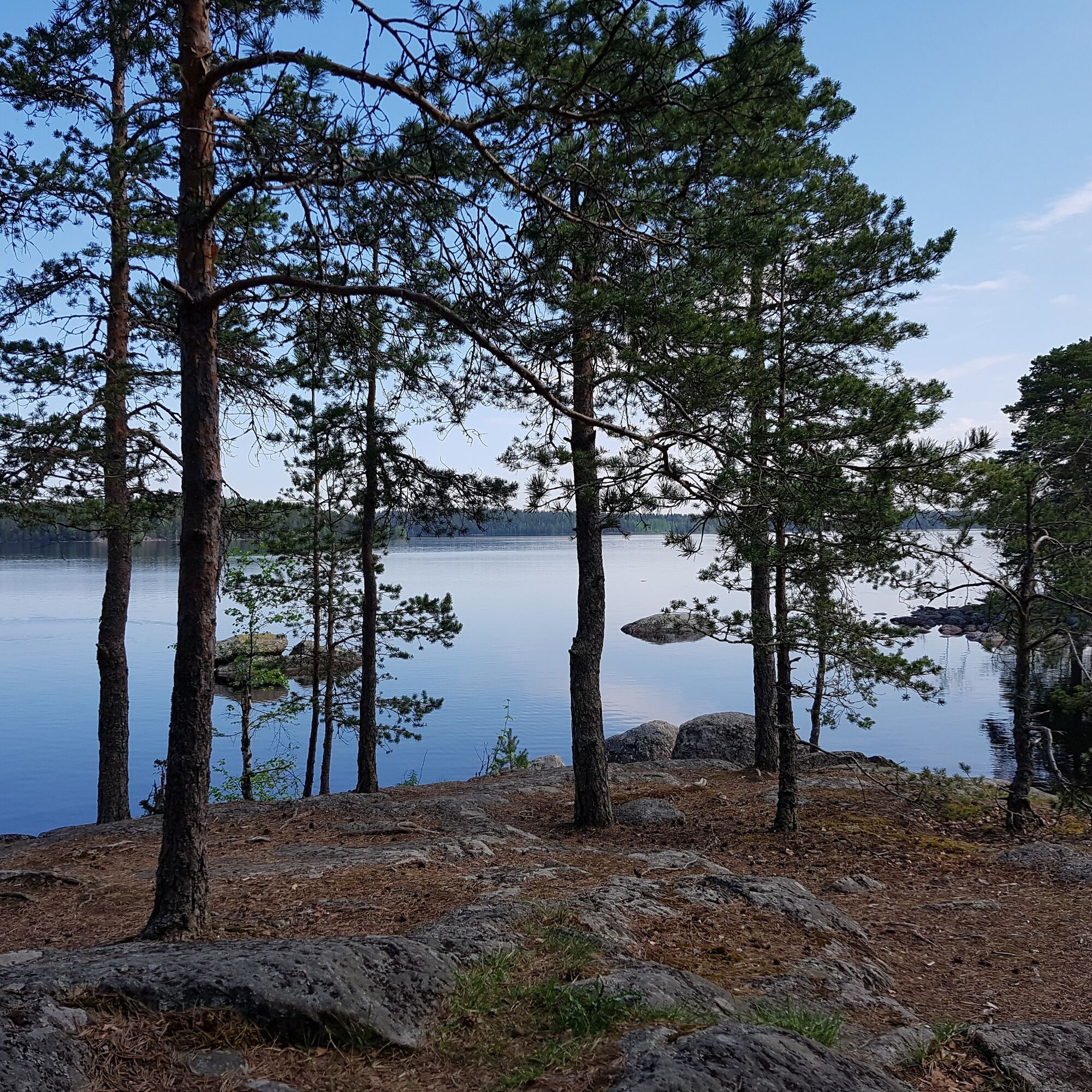
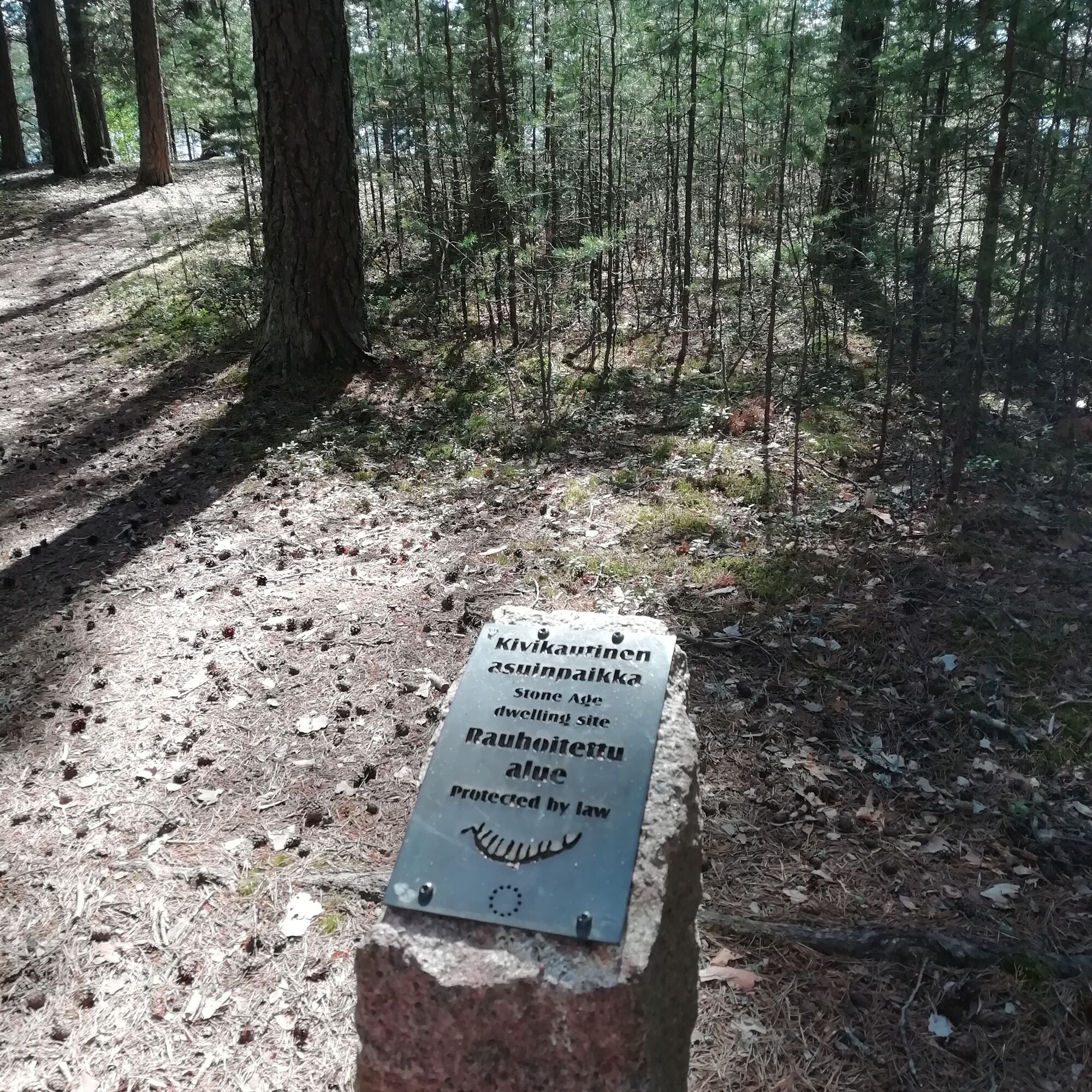
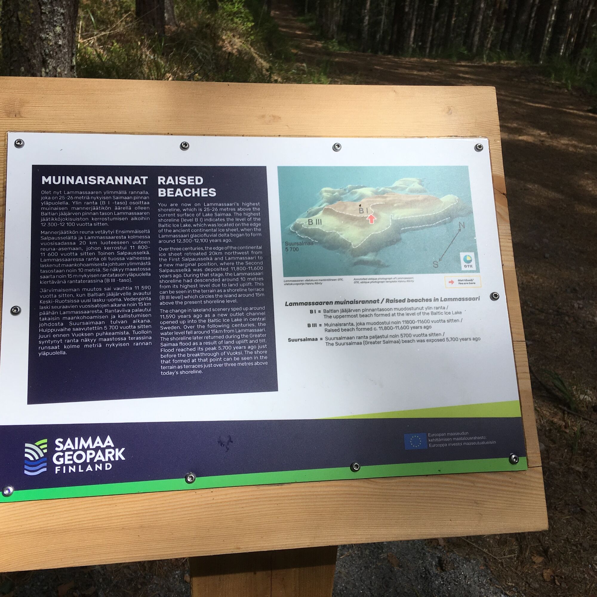
Lammassaari Island offers three time domains to those interested in the history of landscapes. On these trails, you can find samples of ancient bedrock and the island itself is a result of glacioflluvial deposition. The ancient shores around the island constitute the third time domain. They tell of the history of the lake scenery, from the early ice-lake phases to the present day. The Stone Age habitats found near the ancient shores also show that people had found their way to Lammassaeri Island a long time ago. Lammassaari Island is a delta area belonging to the ice margin formation of the First Salpausselkä Ridge. Its deposition began some 12,300 years ago, when the mouth of a glaciofluvial tunnel stream opened into a crevasse at the margins of the melting ice sheet, and further into a glacial bay. There are several Saimaa Geopark signs in Lammassaari.
Guide of The geological trail of Imatra (pdf)
Contents of the big signs at Lammassaari (pdf)
Contents of the small signs at Lammassaari (pdf)

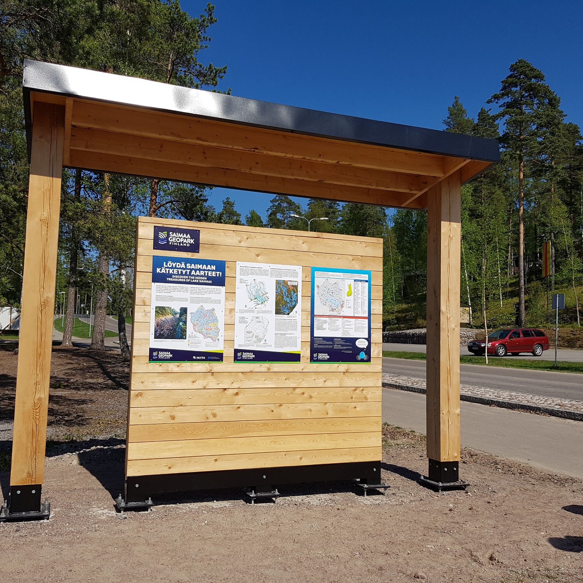


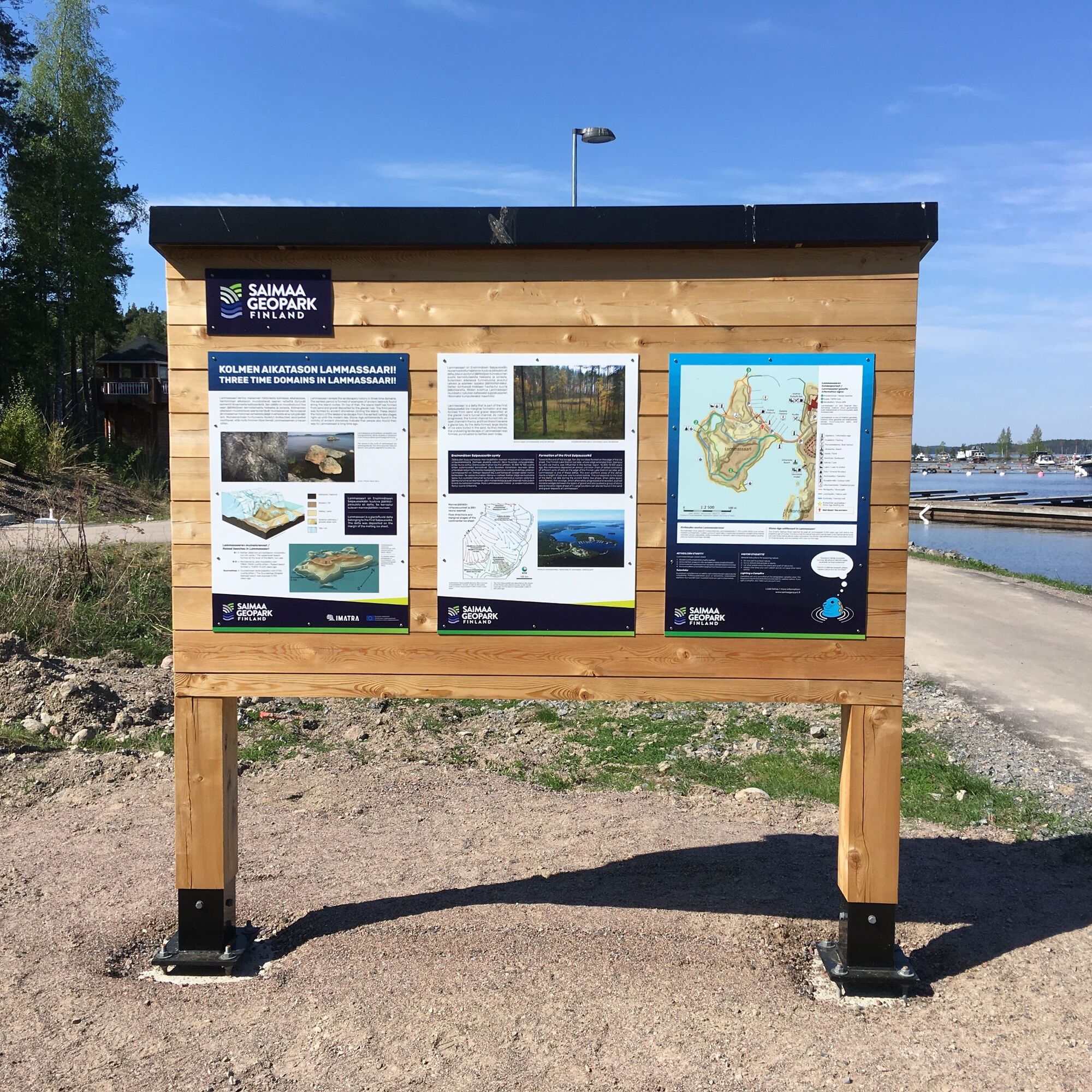
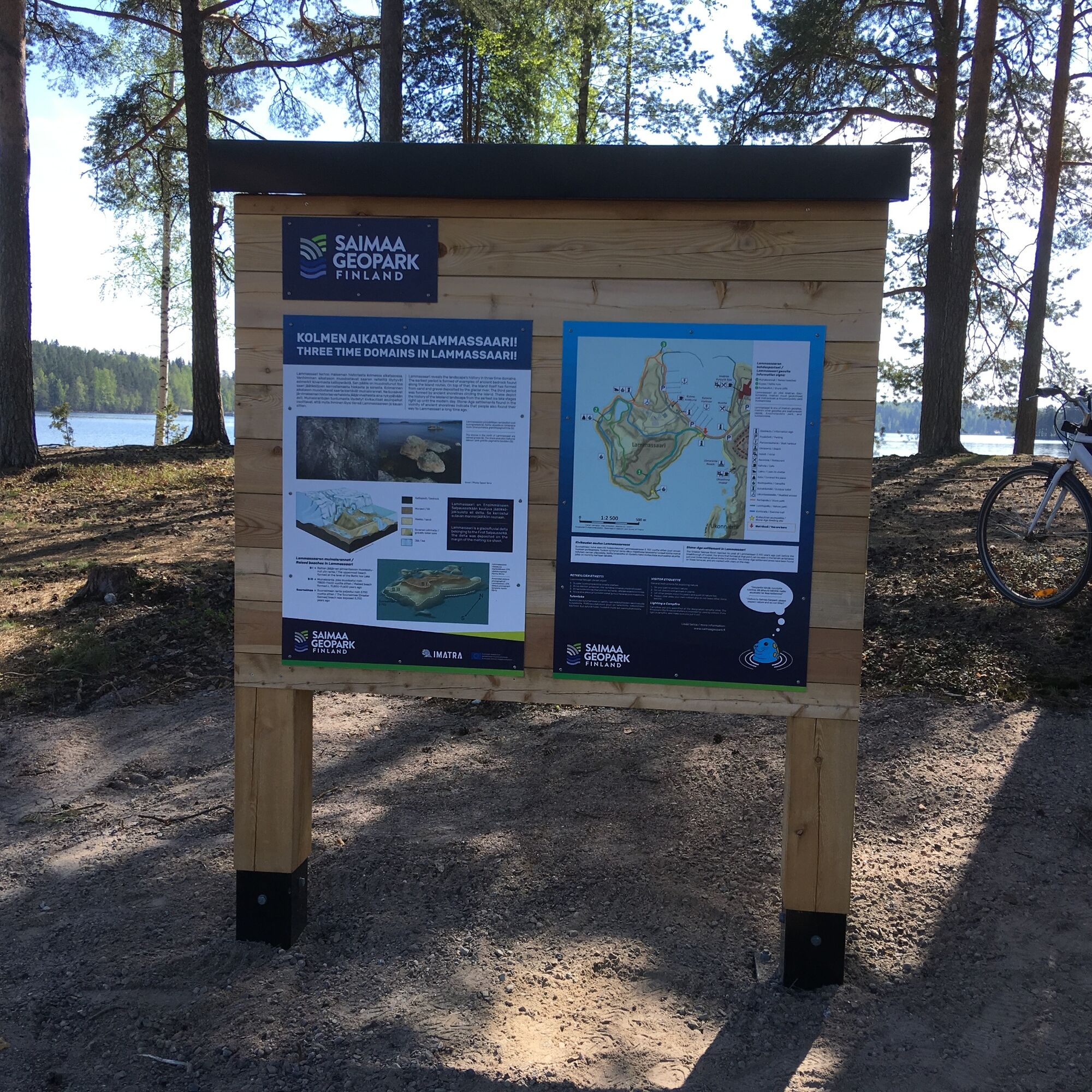
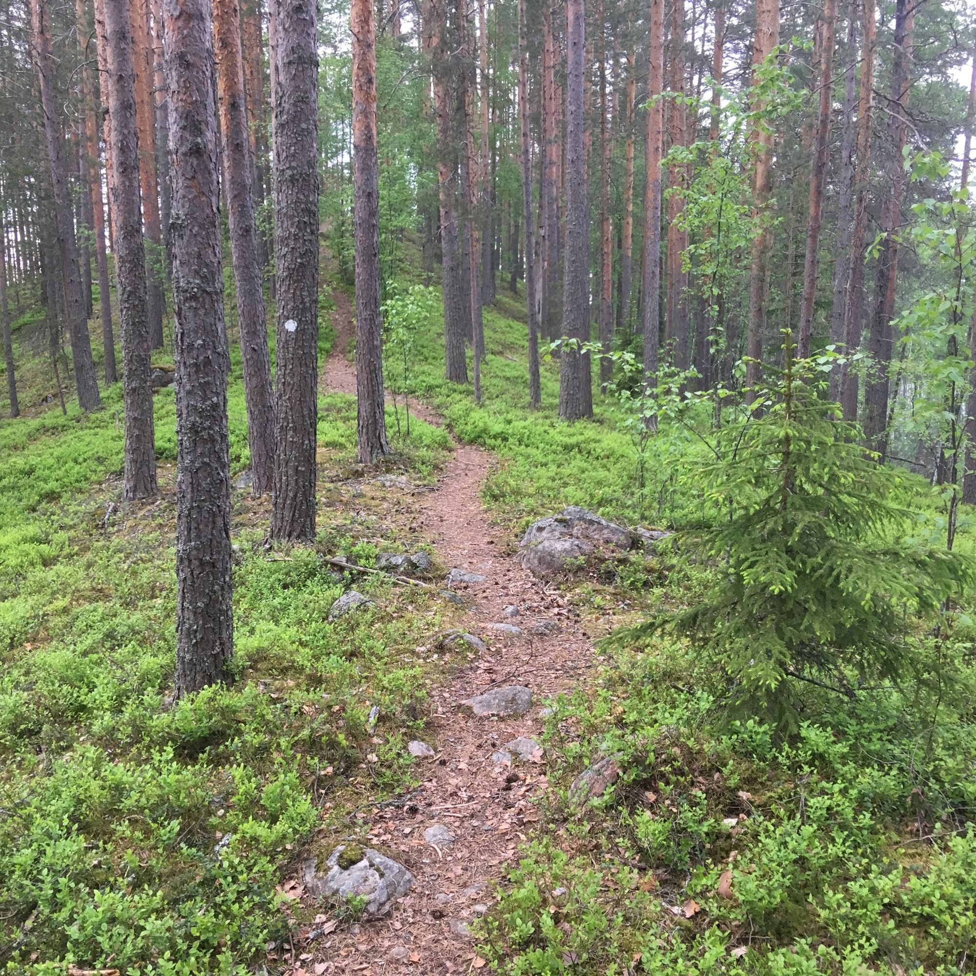
After the crossing of the dam bridge leading to the island, you can start the geological tour of Lammassaari at the sign of Saimaa Geopark. There are three route options marked on the signpost map.
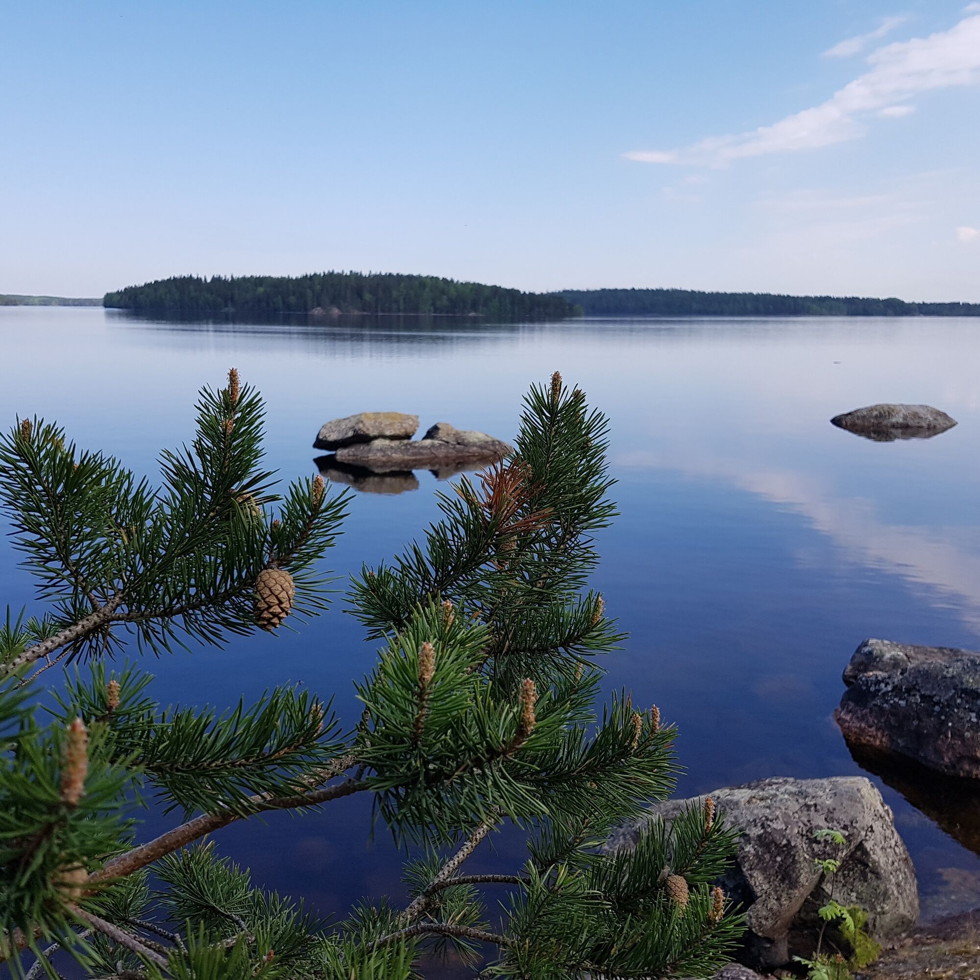
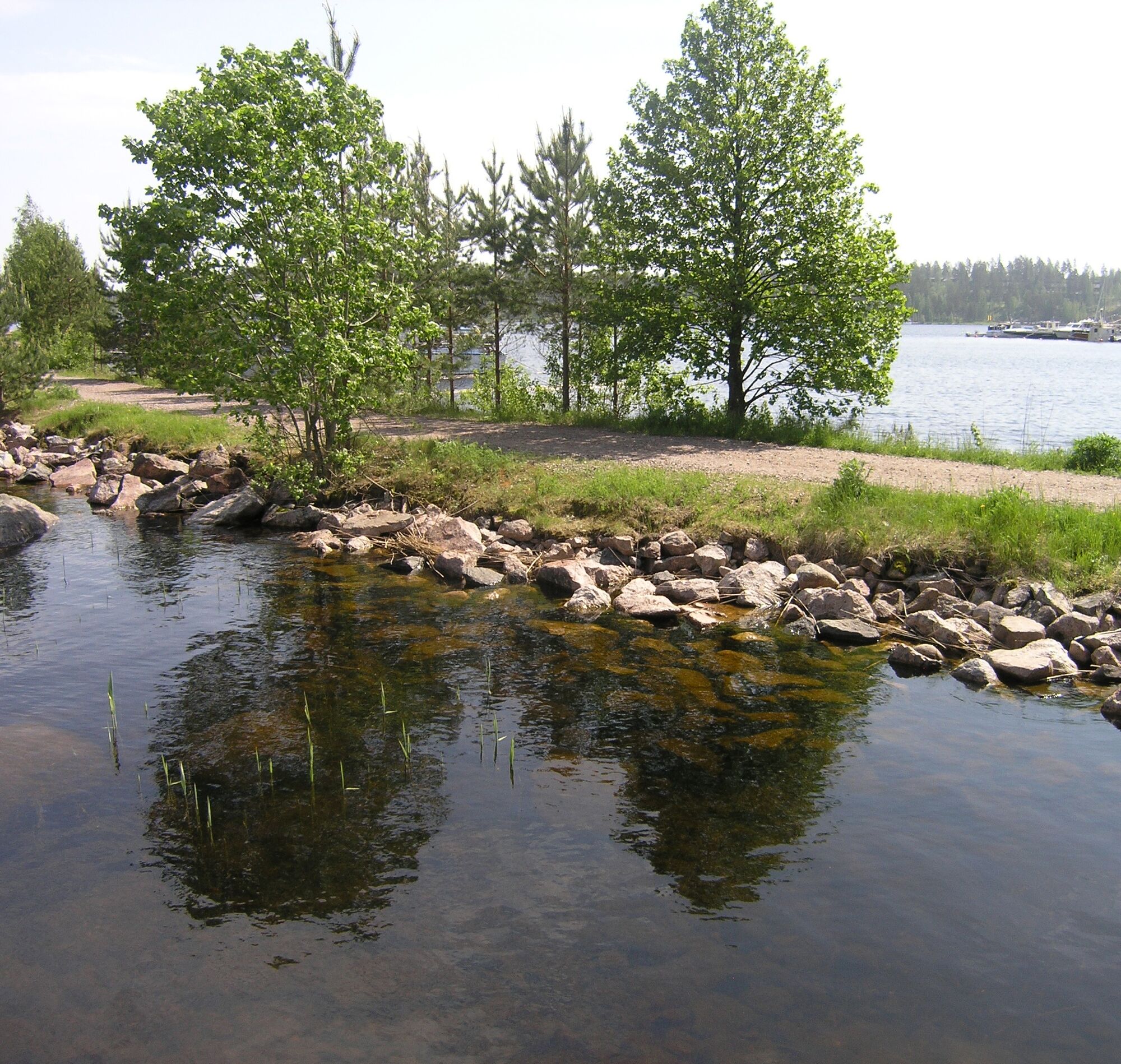
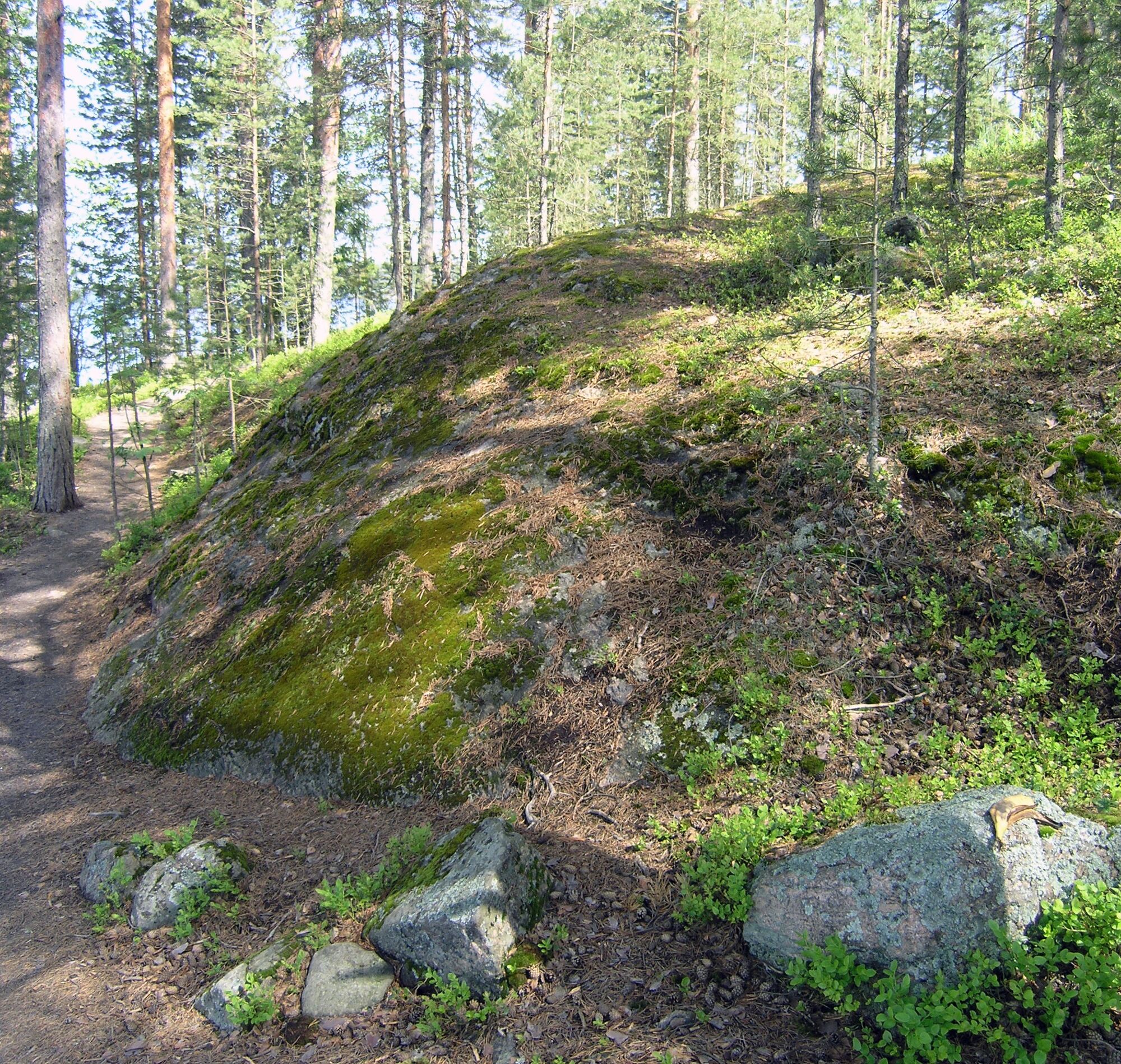
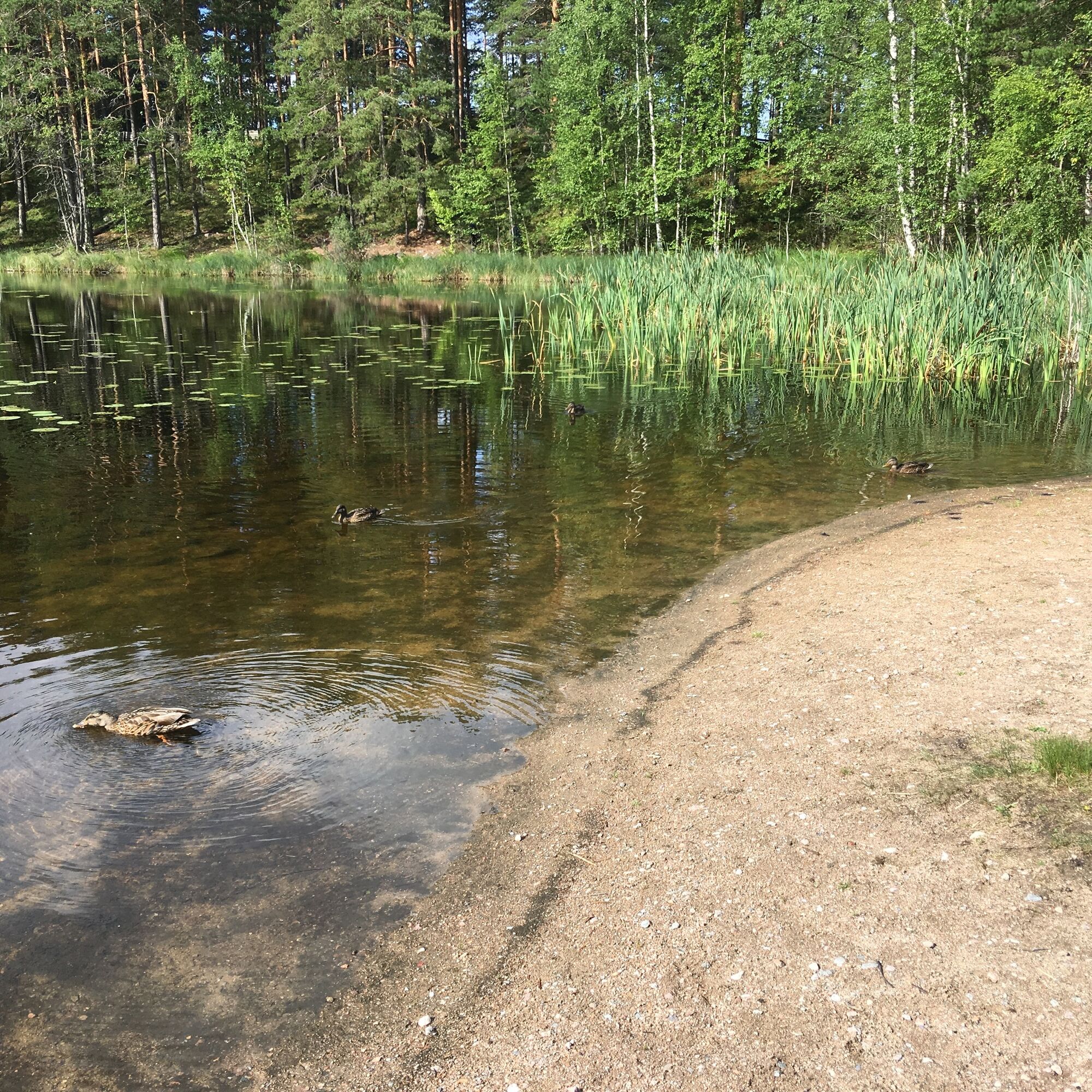
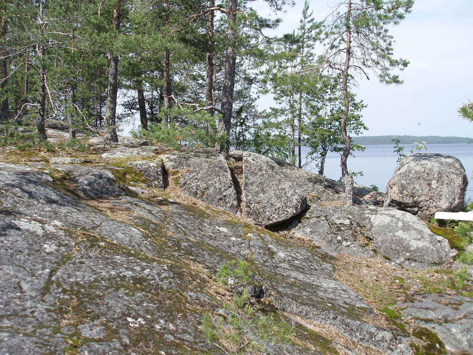
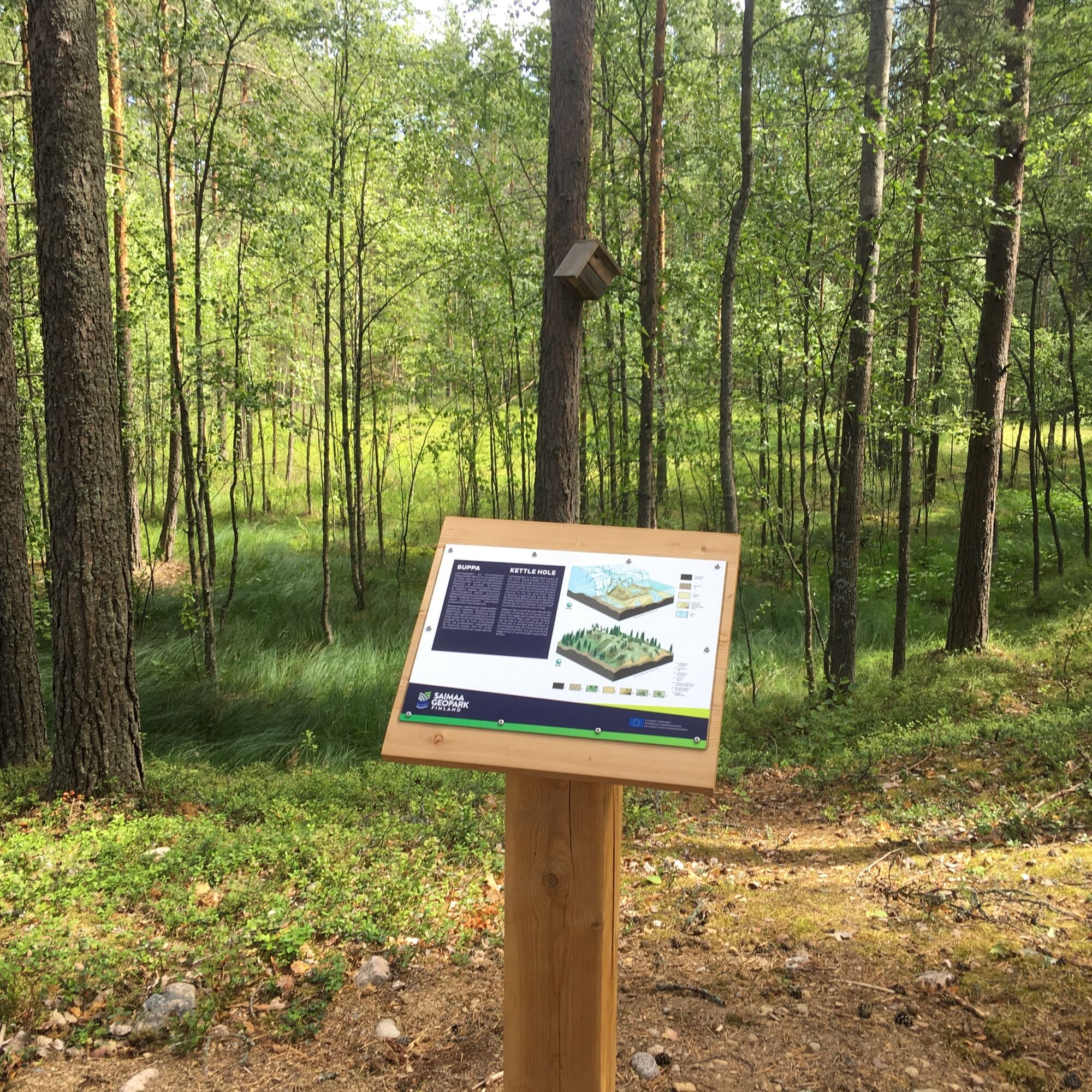
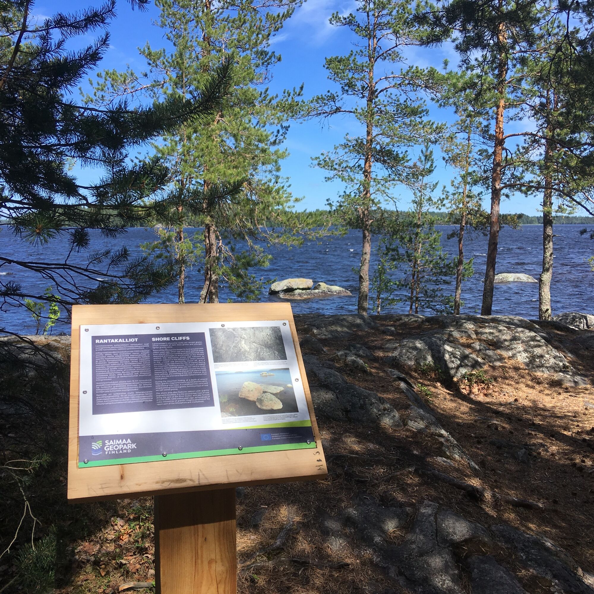
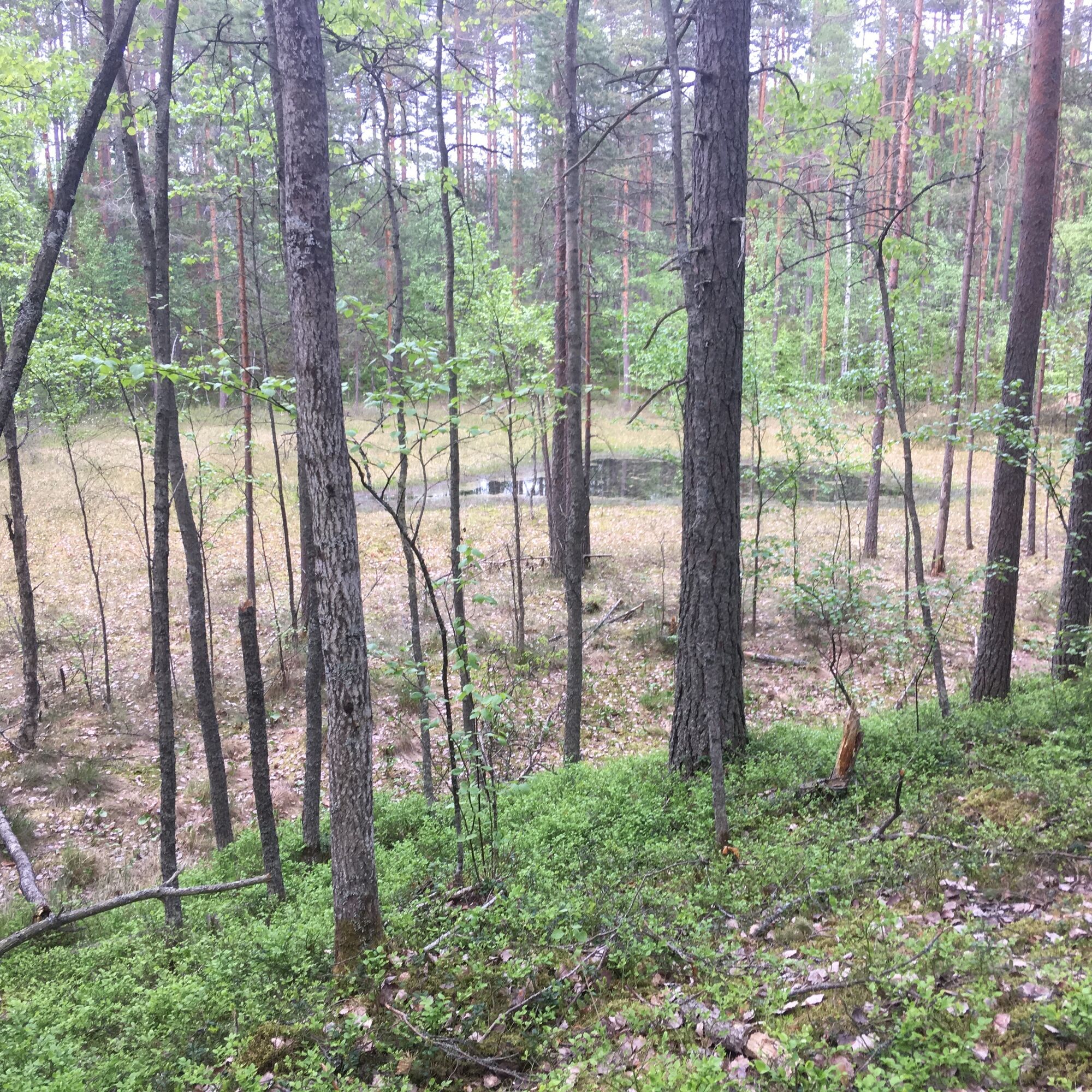
The shore path runs along the shores of Lammassaari Island. If you choose this option, you will pass the Stone Age dwelling site at the southern tip of the island, you can take a break at the northwestern shore and read the sign telling about kettle holes and how they were borne, and at the northern cliffs you can wonder the ancient bedrock and the passing of time.
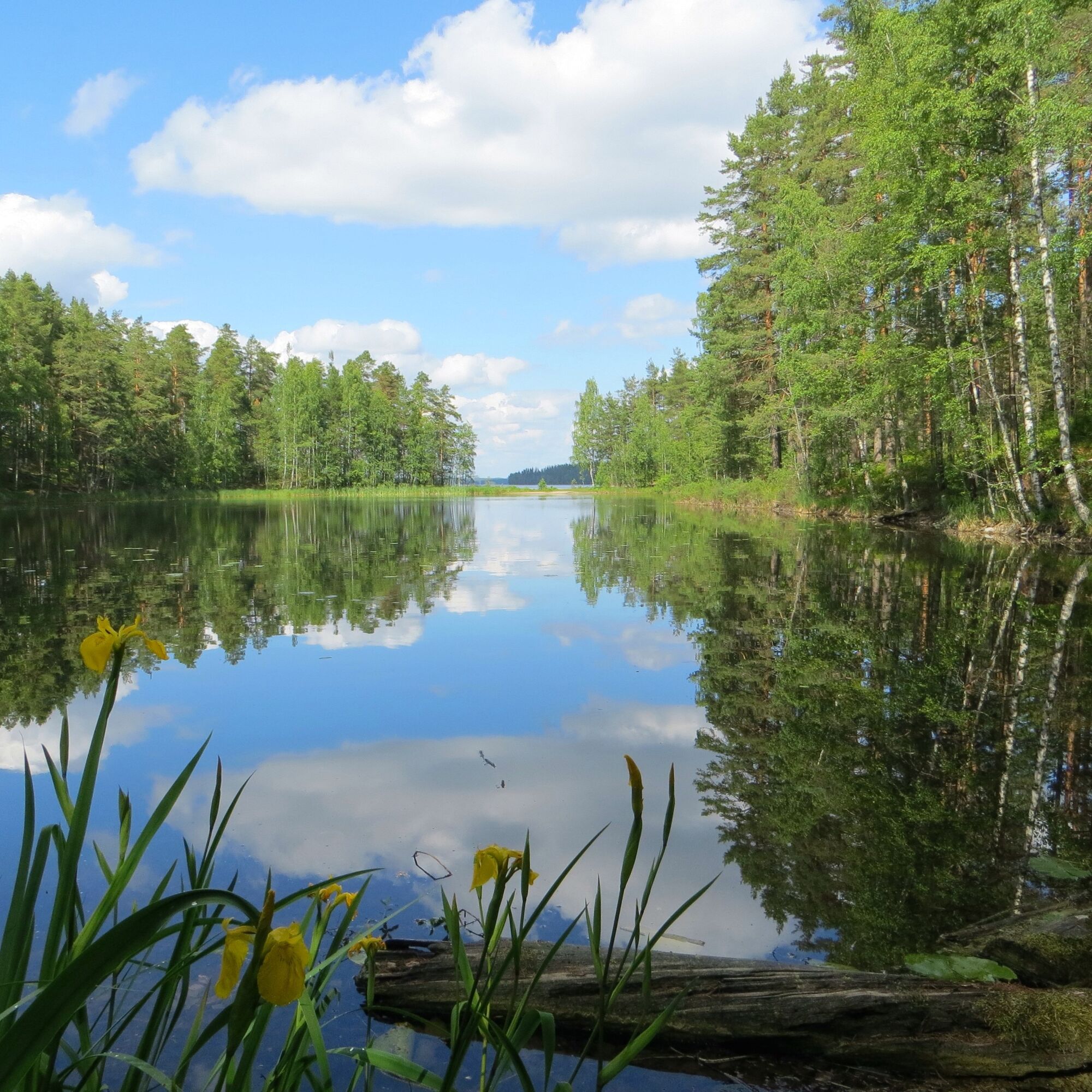
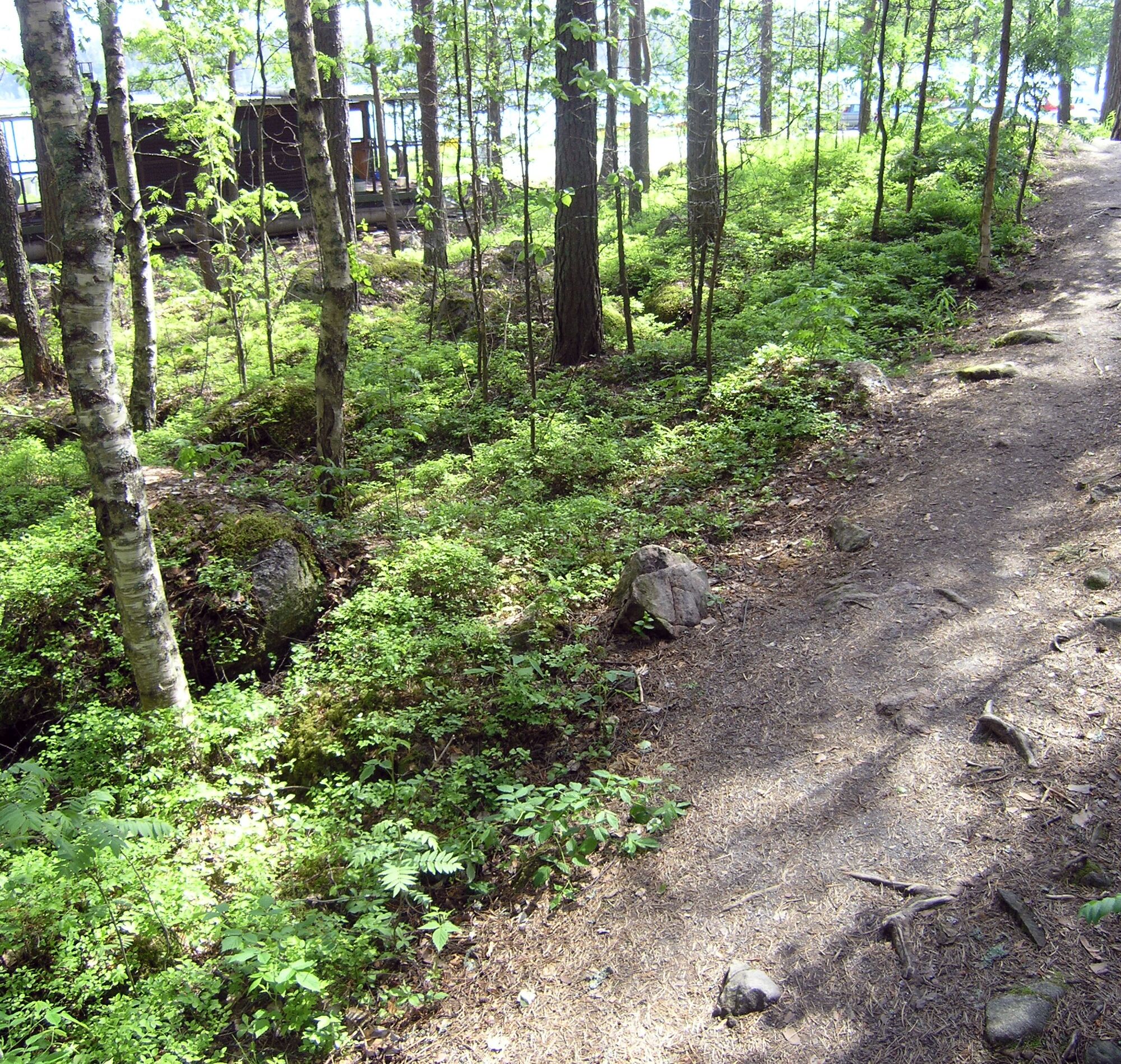
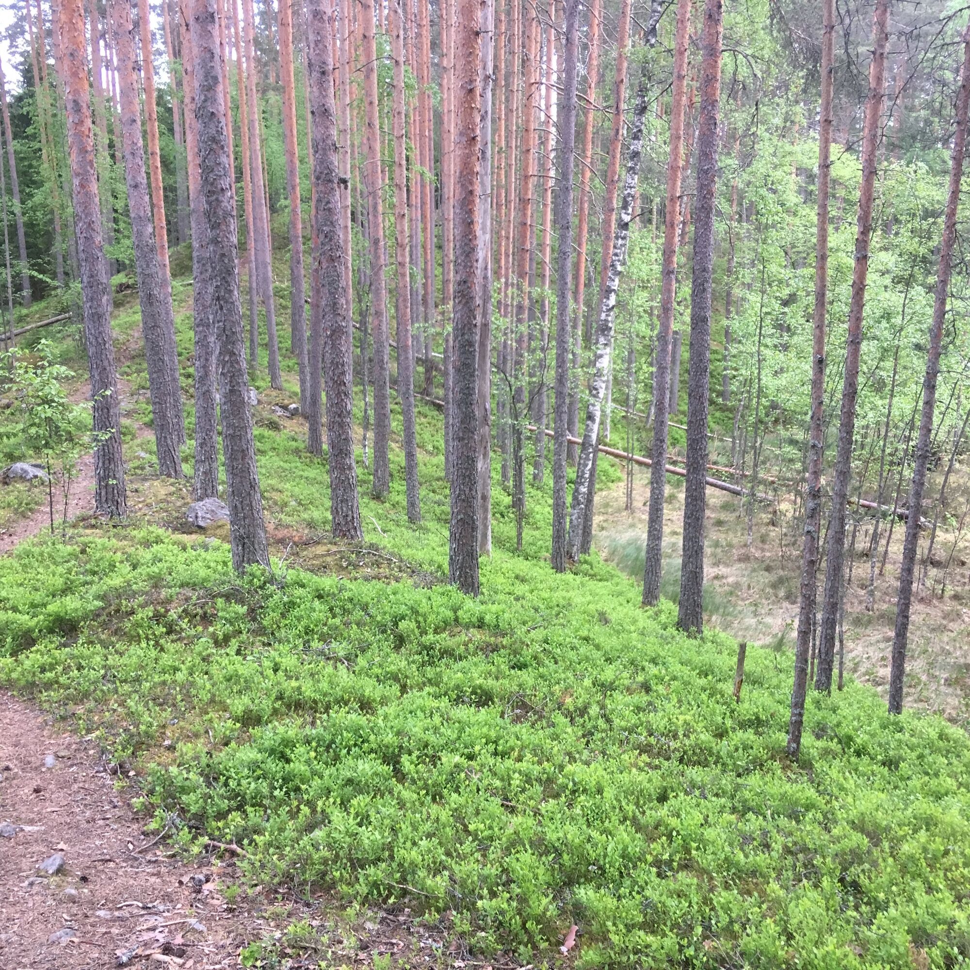
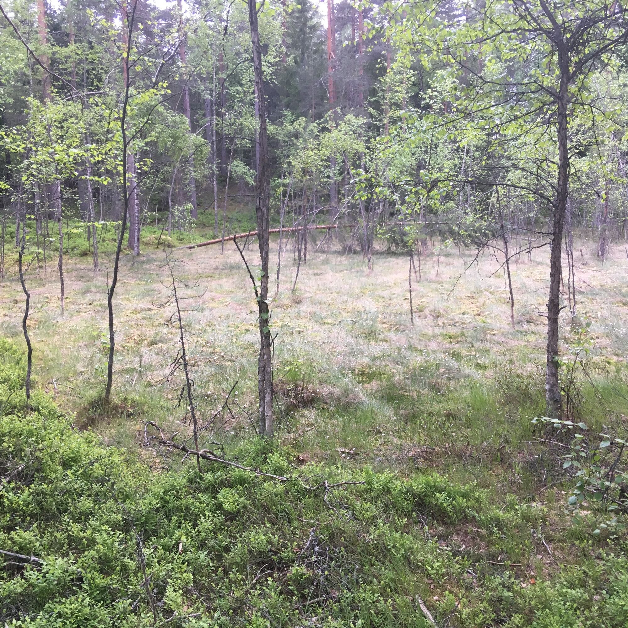
When choosing the nature path, you will travel along the island's current shoreline and also along island's ancient shorelines, and you are invited inside the island's embrace of the kettle holes. There are QR codes along the nature path that you can use to download a booklet describing the nature trail spots, only in Finnish (pdf). The nature path is marked in trees with white dots.
The third option, the wide fitness track, runs along the island's ancient beaches and across the center of the island. If you choose to exercise, you can take a break at the signs telling about ancient beaches and kettle holes along the route.
You can also combine different route options as you wish. The map on the top of the page is marked with an option that follows the signs to the raised beaches, kettle holes and shore cliffs.
Guide to The geological trail of Imatra (pdf)
Tak
Tak
From the road VT 6 is about 3 km to Lammassaari, follow the signs of Imatra Spa. Drive the Lammassaarentie past Imatra Spa towards the harbor, the road ends at Lammassaari.
It is about 5 km from Imatrankoski to Lammassaari.
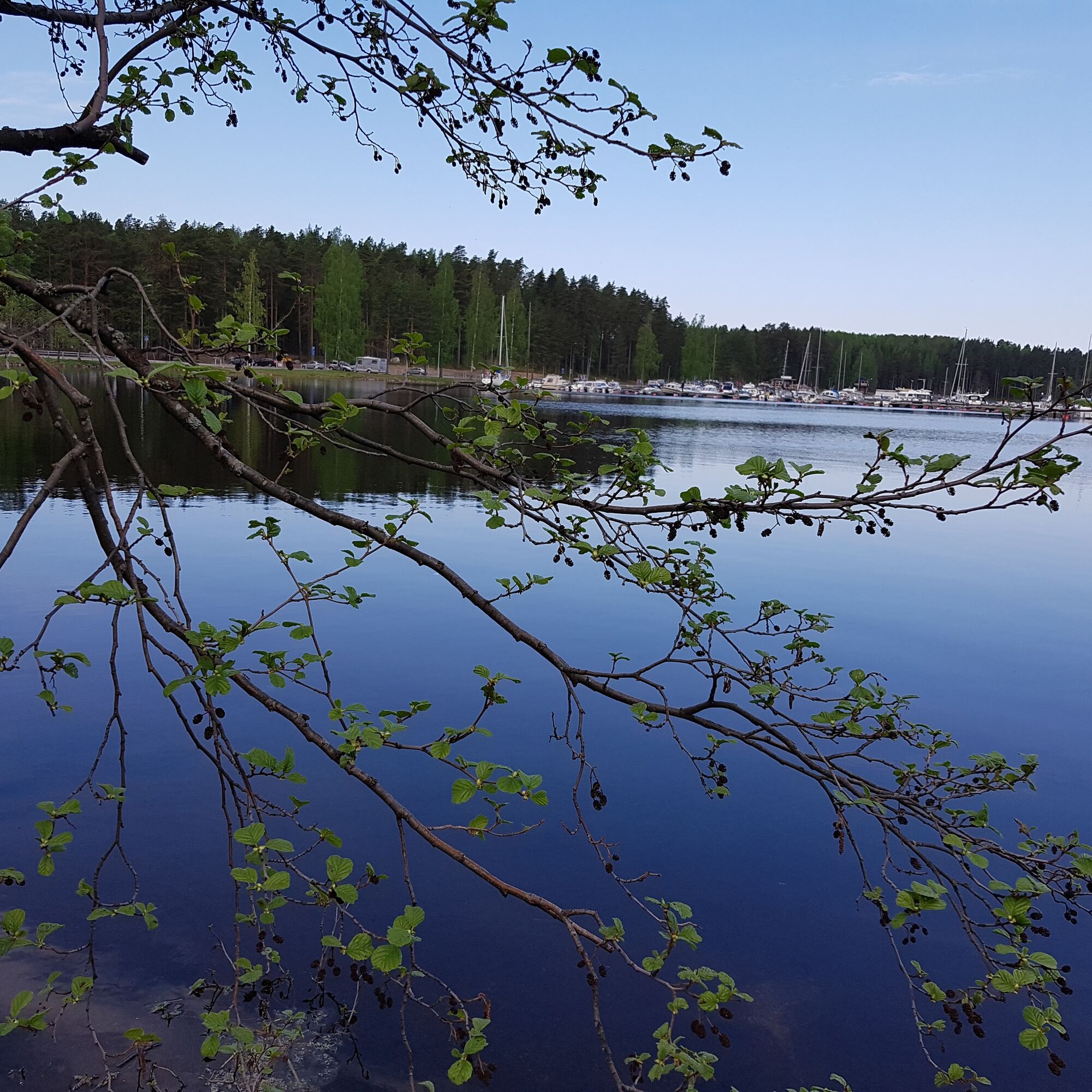
In Lammassaari there is Imatra harbor with good parking facilities for the driver. For the boaters, there is dock in north of the main pier of the Lammassaari harbor.
Lammassaari reveals the landscape’s history in three time domains: the 1.9 billion-year-old shore cliffs, the 12,000 years old sandy slopes of Lammassaari and the ancient shorelines on the slopes, the youngest of which were revealed about 5,700 years ago by the birth of Vuoksi, Saimaa’s outlet channel.
Popularne wycieczki w okolicy
-
Vuoksi nature and cultural route, Imatra
światłoTrasa tematyczna 8,38 km -
Imatra architecture and sightseeing route by bike
światłoJazda na rowerze 38,9 km -
Vuoksi cycling route in Imatra
światłoJazda na rowerze 11,9 km -
Imatra winter trail
średniMountainbike 20,2 km -
Pöyhiäniemi nature trail
średniTrasa tematyczna 2,97 km -
Ukonmäki nature trail, Lappeenranta
średniTrasa tematyczna 0,95 km -
Vuoksenniska forest trail, Imatra
średniTrasa tematyczna 2,75 km -
Haukvuori route, Lappeenranta
średnidługodystansowy szlak pieszy 8,08 km -
Katralampi route, Lappeenranta
średnidługodystansowy szlak pieszy 15,9 km -
Äitsaari scenic road cycling route
średniJazda na rowerze 29,4 km
Wędrówki i tropienie


Nie przegap ofert i inspiracji na następne wakacje
Twój adres e-mail została dodana do listy mailingowej.