





Lappeenranta-Imatra border cycling route

The cities of Lappeenranta and Imatra are border towns where the proximity of Russia is evident in both the area's history and also today. The cities are also located on the shore of Lake Saimaa and offer...
The cities of Lappeenranta and Imatra are border towns where the proximity of Russia is evident in both the area's history and also today. The cities are also located on the shore of Lake Saimaa and offer plenty of sights and many alternative accommodation options for a vacation.
For cyclists, two alternative routes are suggested between the cities: The Border Route leads to peaceful rural scenery near the Russian border, including an exciting approximately 20 km section of cycling path along the Saimaa Canal.
In the other direction, it is worth cycling close to the Saimaa shore, where you can admire the activity of marinas, enjoy services, or take a dip in the Saimaa waves.
Route surface material: asphalt, gravel road.

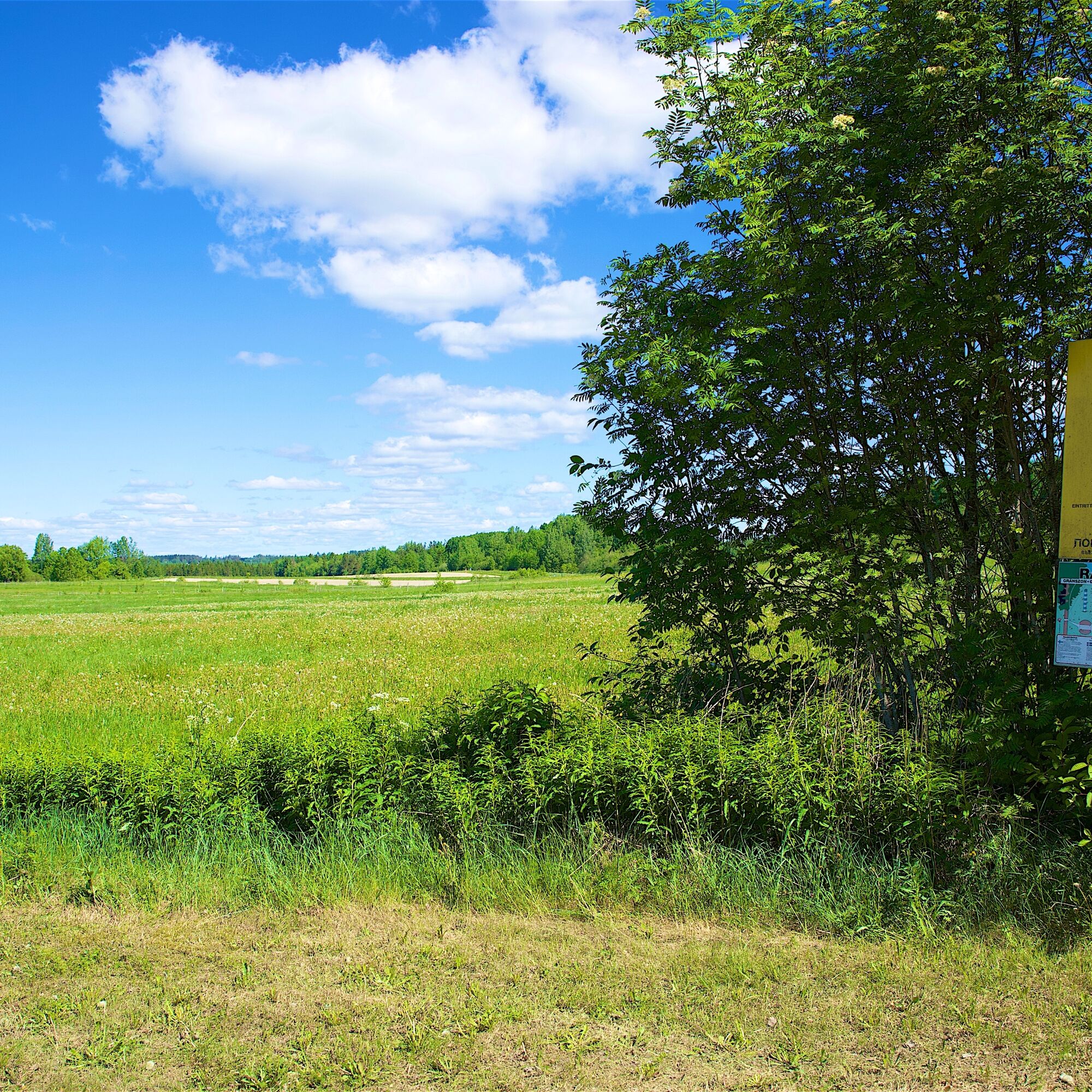
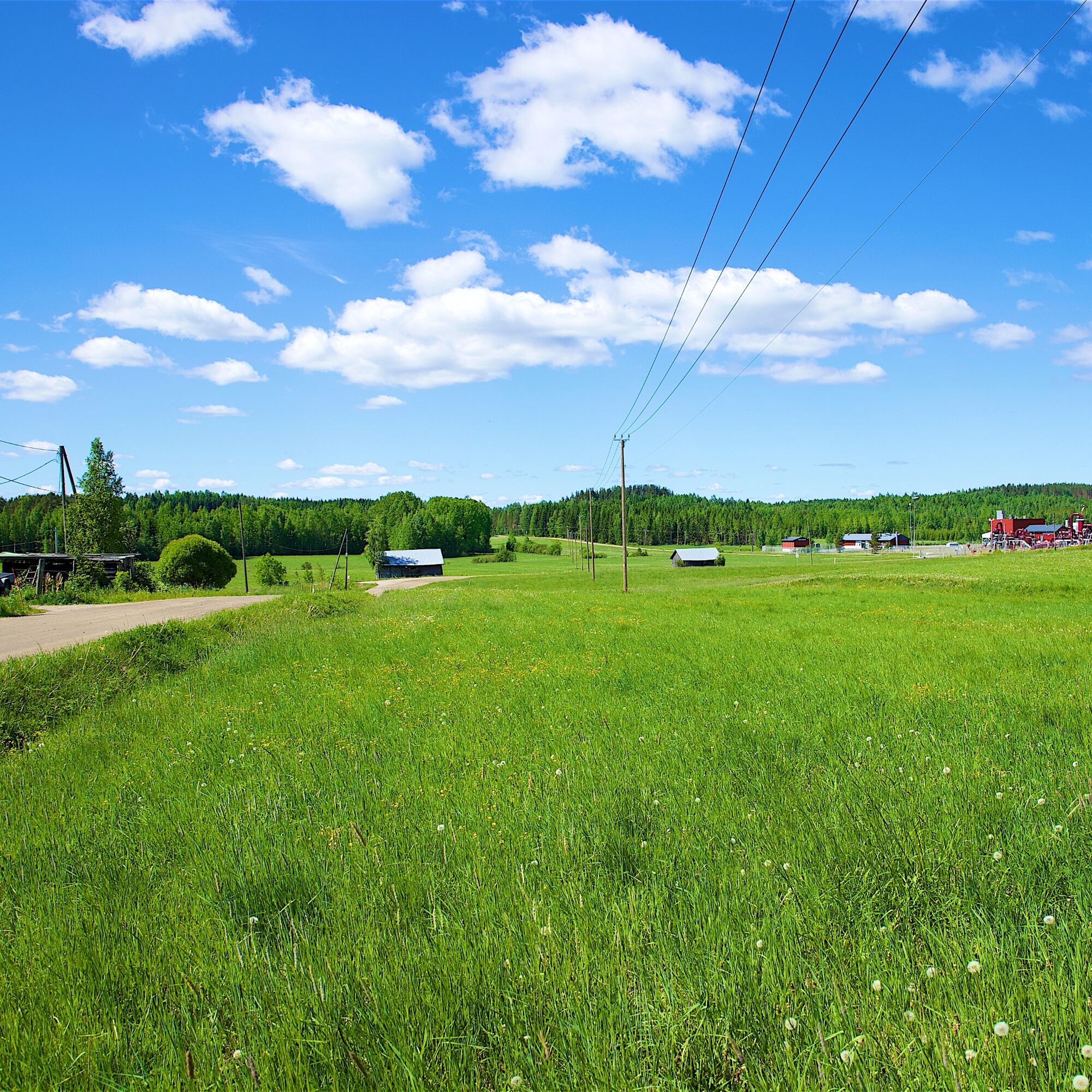
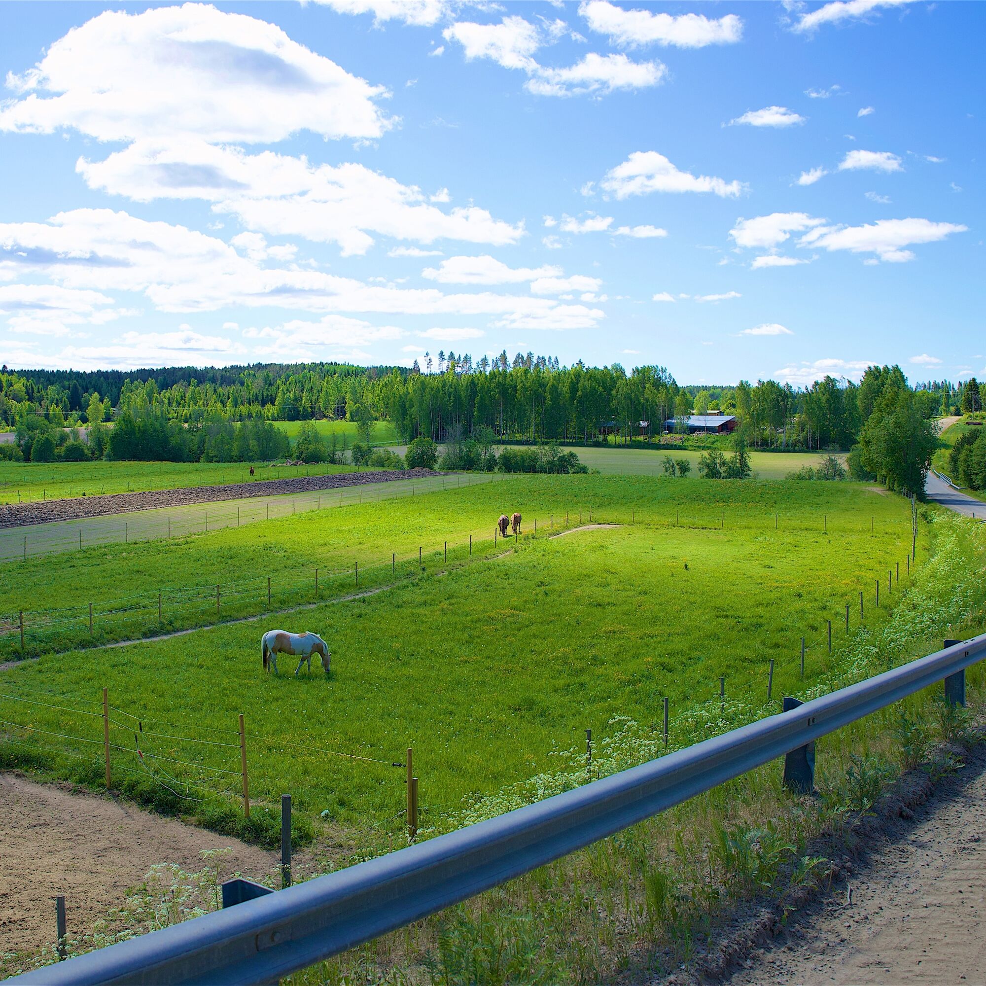
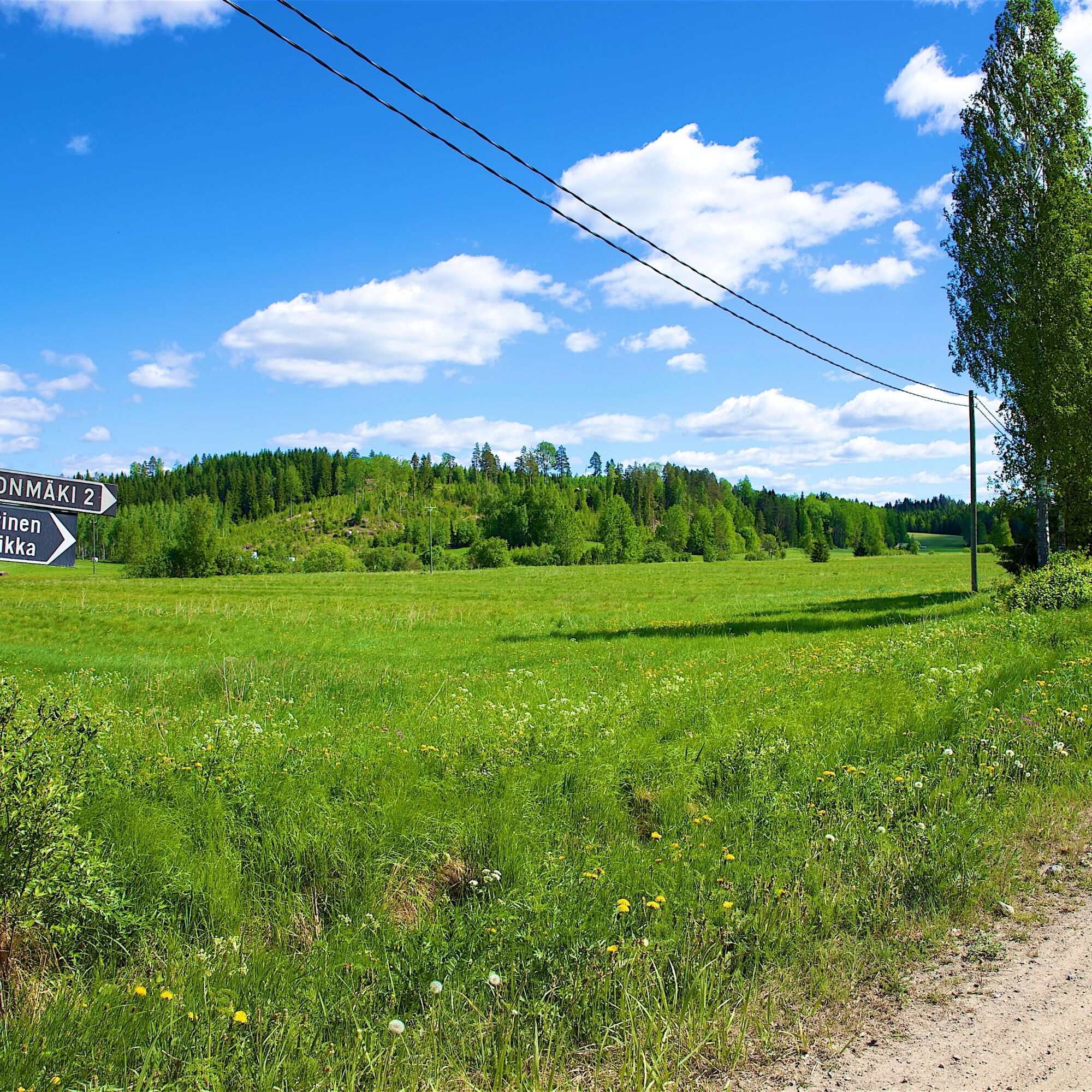
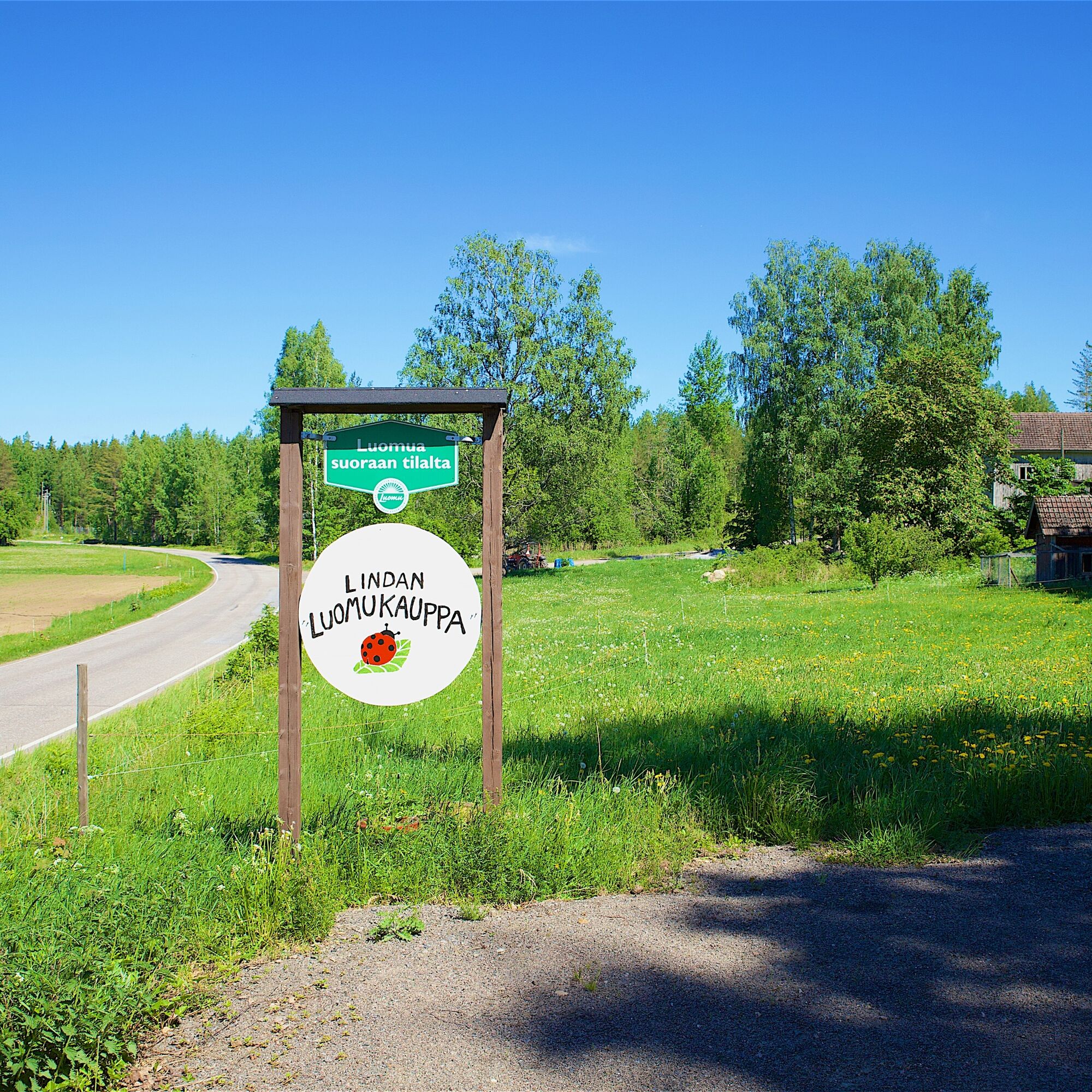
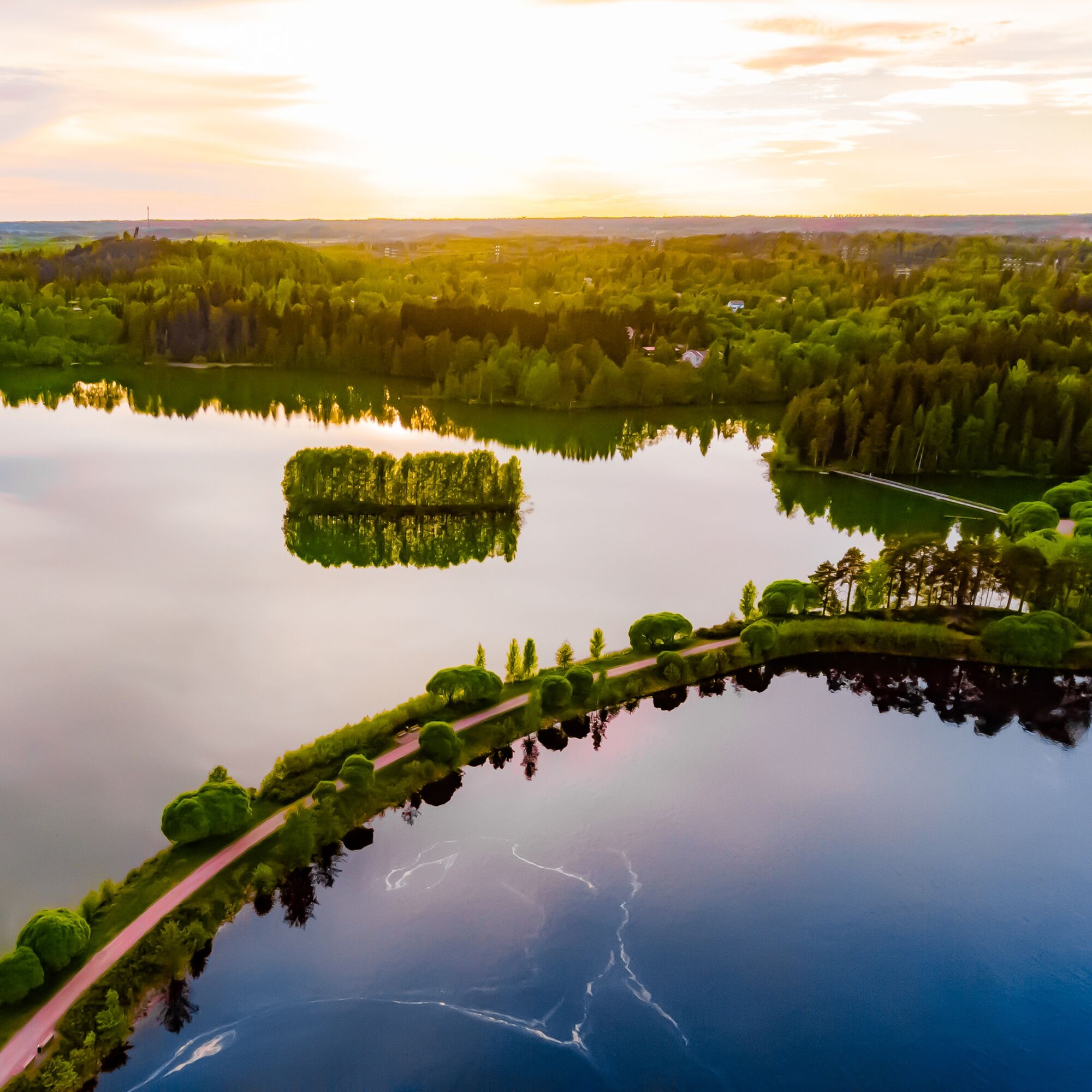
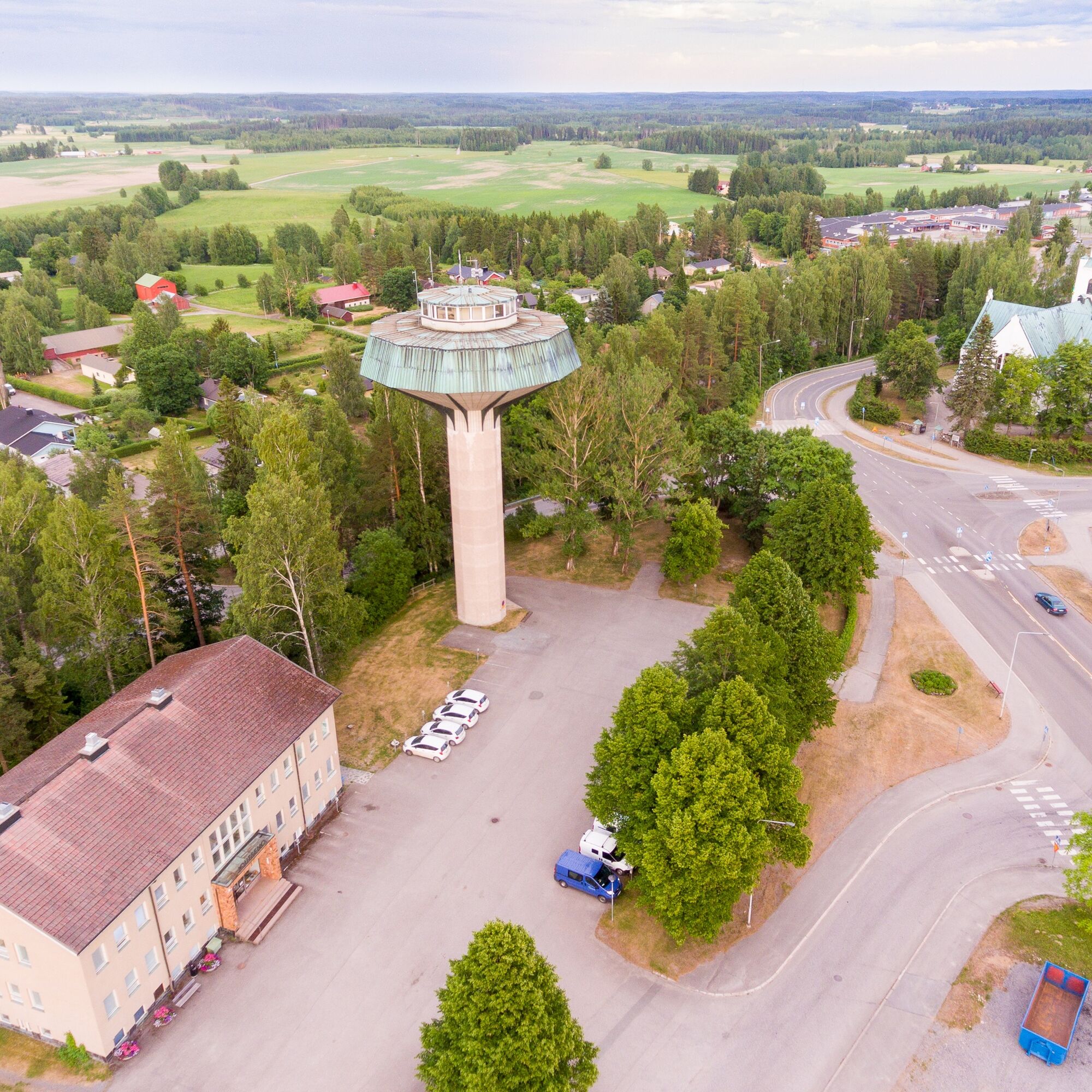
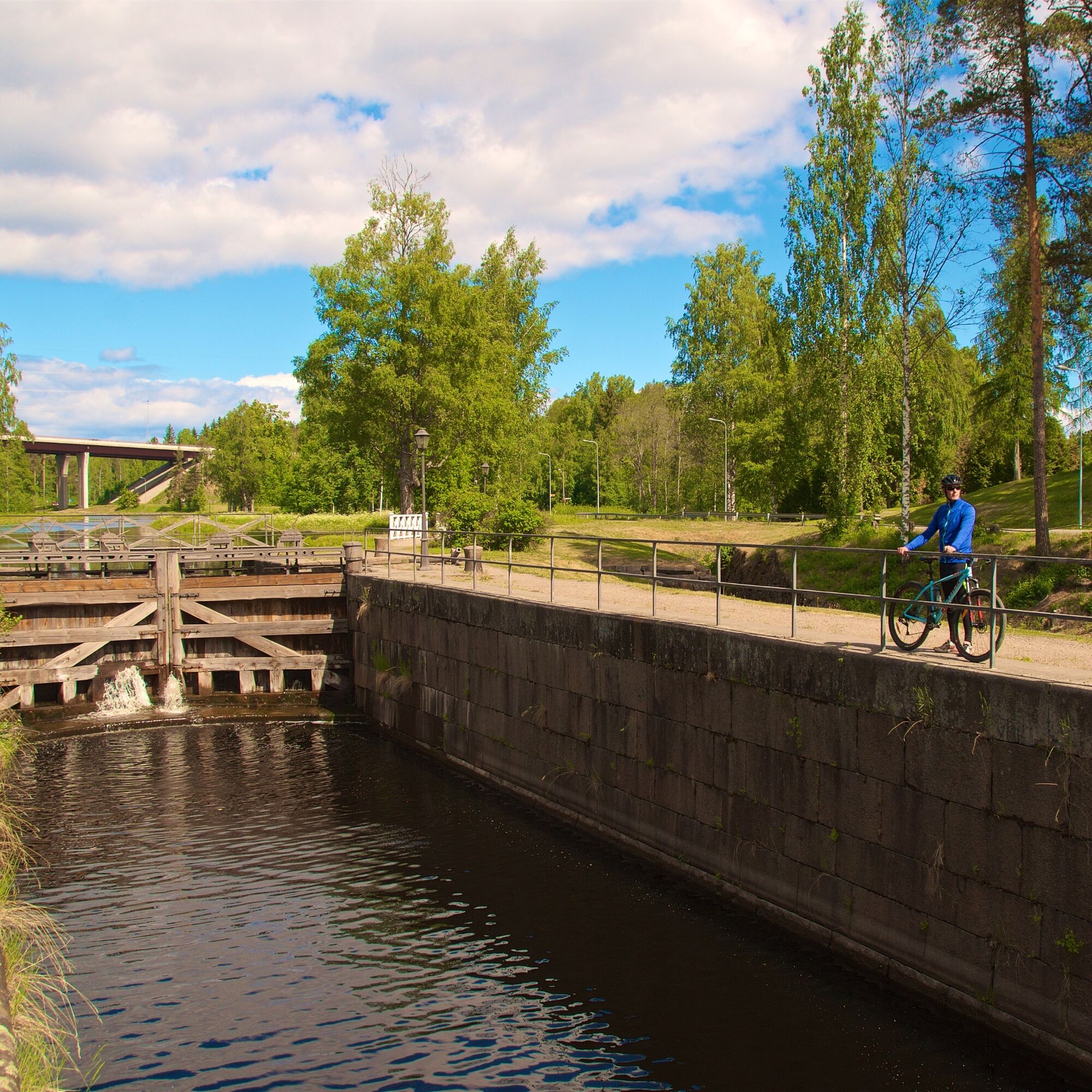

If you start from Lappeenranta, the first stopping point is the Saimaa Canal museum, where cyclists can initially explore an exhibition about different phases of the canal. Next to the museum is the Mälkiä lock, the highest lock of the Saimaa Canal and the first lock when coming from Saimaa. You can also start the route from Imatra, and it is recommended to split the ride into two days and allow time to explore the sites. Both Imatra and Lappeenranta have plenty of accommodation and dining options.
Leaving the Canal Museum, the journey goes towards the Mustola lock. After that, the route continues along the canal maintenance road right by the canal. The third and final lock on the Finnish side of the canal's total of eight locks is the Soskuan lock. In Kansola, there is the old canal rolling bridge, which was rolled aside to let vessels pass during the oldest canal's time, and a culvert under the canal through which the Soskuanjoki River flows. The surroundings of Kansola are lush and beautiful.
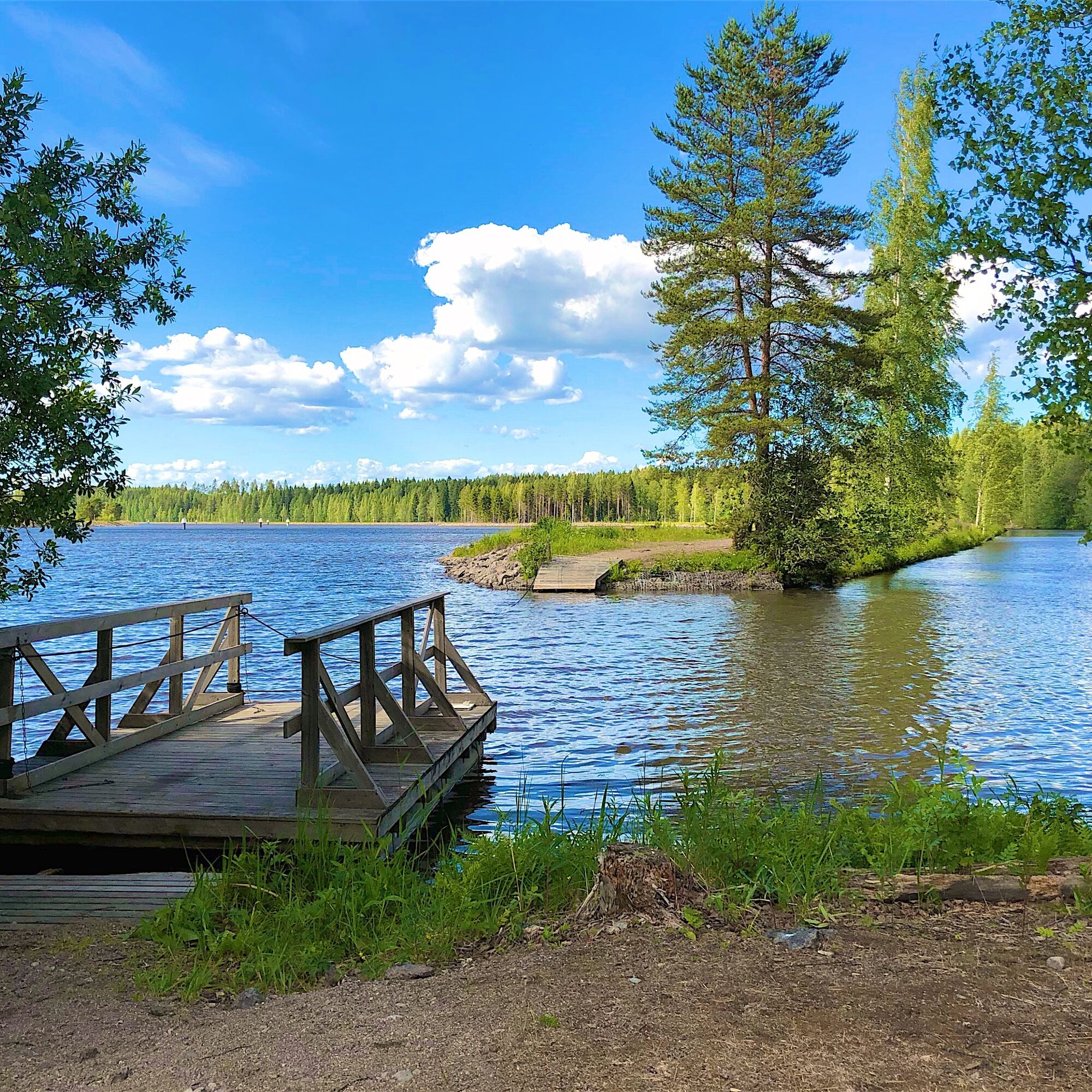
After Kansola starts an exciting section: the cycling path runs on a narrow strip of land between the old and new canals. In Suikki, the cycling path ends at the intersection of the old and new canals. There is a self-service pole ferry here, which allows cyclists and bikes to cross the canal. From Suikki, it is worth detouring to the Nuijamaa church village via a bridge crossing the canal. Nuijamaa is one of the busiest border crossings between Finland and Russia and offers a restaurant and fish shop, which also sells other groceries. A distinctive monument is the Sormuskivi, a large glacial erratic stone which is one of Saimaa Geopark's geological sites.
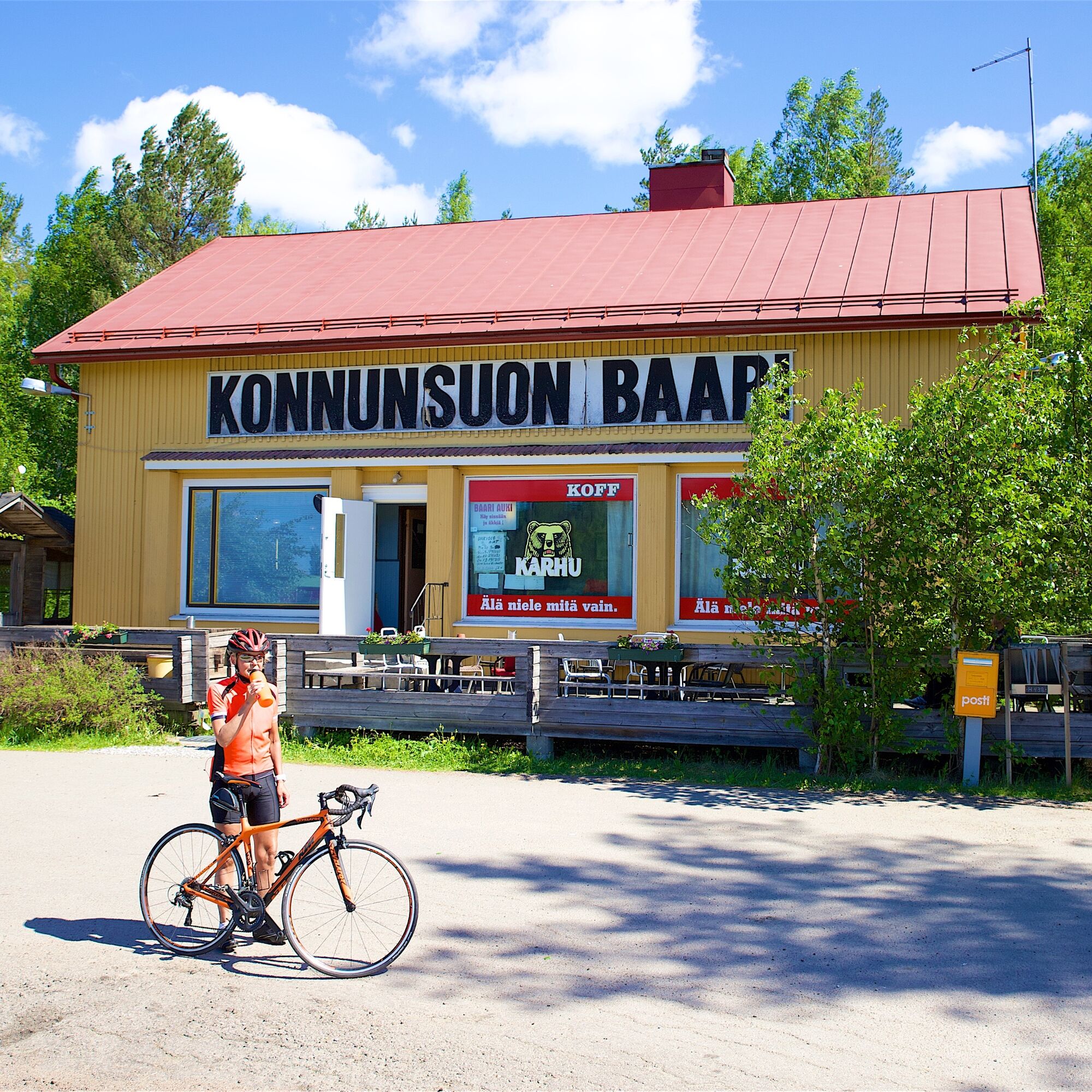
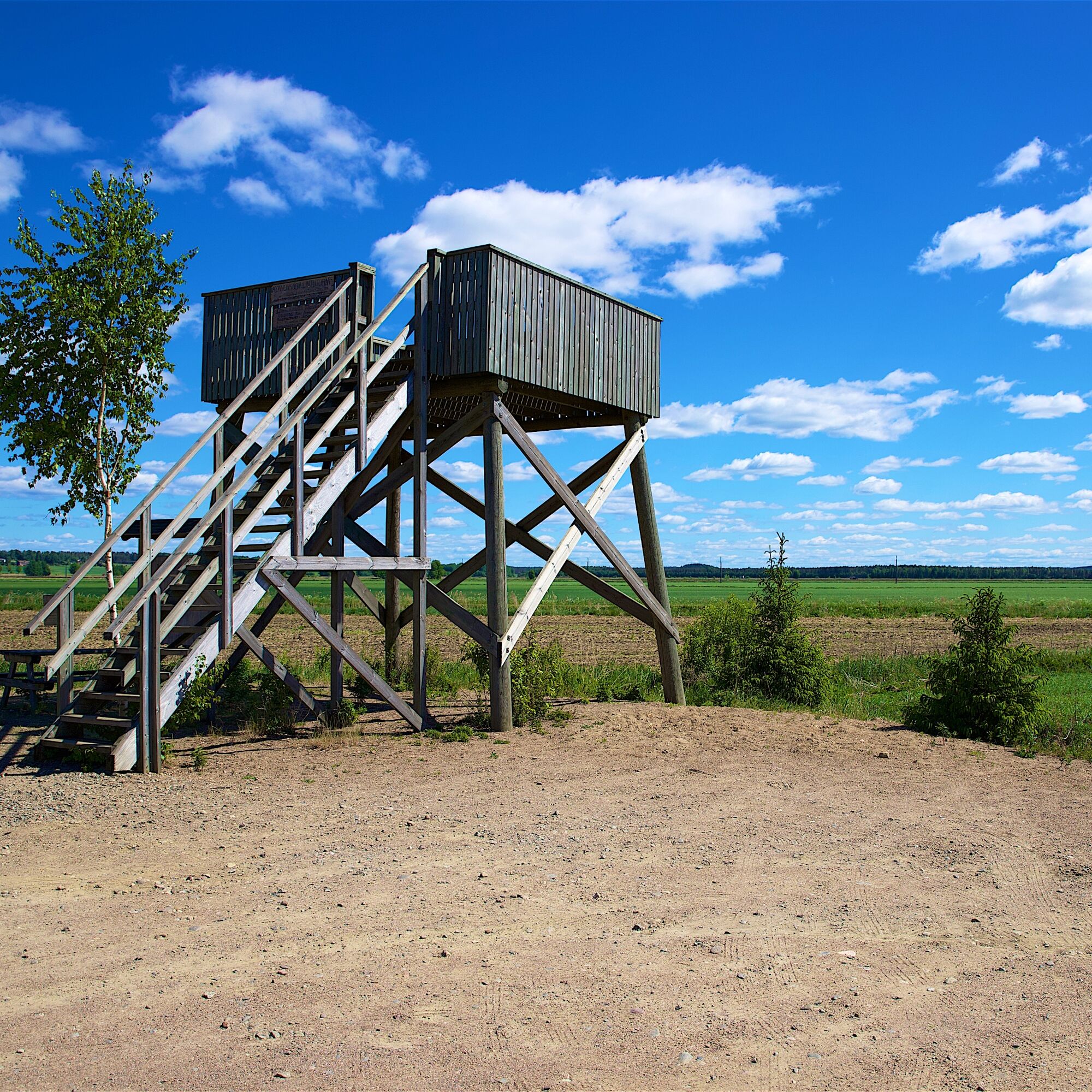
From Nuijamaa, the route continues through forest landscapes towards Konnunsuo. You can see the impressive buildings of the former Konnunsuo prison and stop at the legendary Konnunsuo bar nearby. On the way is a birdwatching tower, where, with some luck, you can spot many birds, as Konnunsuo is a favored resting area for migrating birds.
The journey continues through Leppälä and Kuurmanpohja. The route passes through an area with some of Finland’s oldest known settlement sites from ten thousand years ago. At the Kuurmanpohja prehistoric settlements, you can sense how close to sea level the southern border areas of Imatra and Joutseno actually are. The predecessors of the current Baltic Sea, the Yoldia Sea and Ancylus Lake, once waved at Vesikkola and Salo-Issakka.
Along the road in Salo-Issakka there is environmental art visible to all showcasing the history and present day of the village area. The route continues right next to the border to Räikkölä and from there via Hallikkala to Imatra. Along the route, you will see border zone signs and border markers as well as the factory chimney of the city of Svetogorsk in Russia. Hallikkala has rapids and a good resting spot.
In Meltola, Imatra, services include a shop and pizzeria. Meltola is marked by massive concrete stone gate pillars at the intersection of Vallinkoskentie and Kiviportinkatu. They once supported a three-meter-high iron bar gate that led to Londén’s court on the Vuoksi river bank. From the top of Mellonmäki nearby, you have a good view far over the surroundings of Imatra and to Svetogorsk in Russia.
Next, the route follows the Vuoksi river shore to the national landscape of Imatrankoski and to Imatra city center, which offers diverse services for cyclists. Accommodation is available both in downtown Imatra and a few kilometers away on the Saimaa shore in the Ukonniemi–Rauha tourist area. There are two spa hotels and various smaller accommodation options.
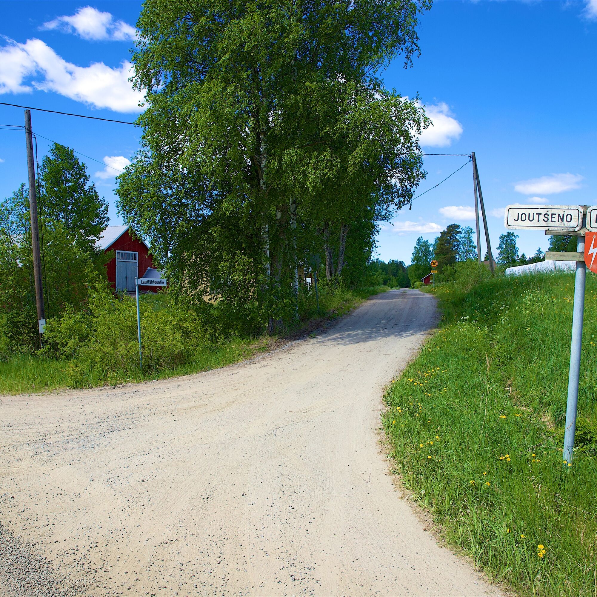
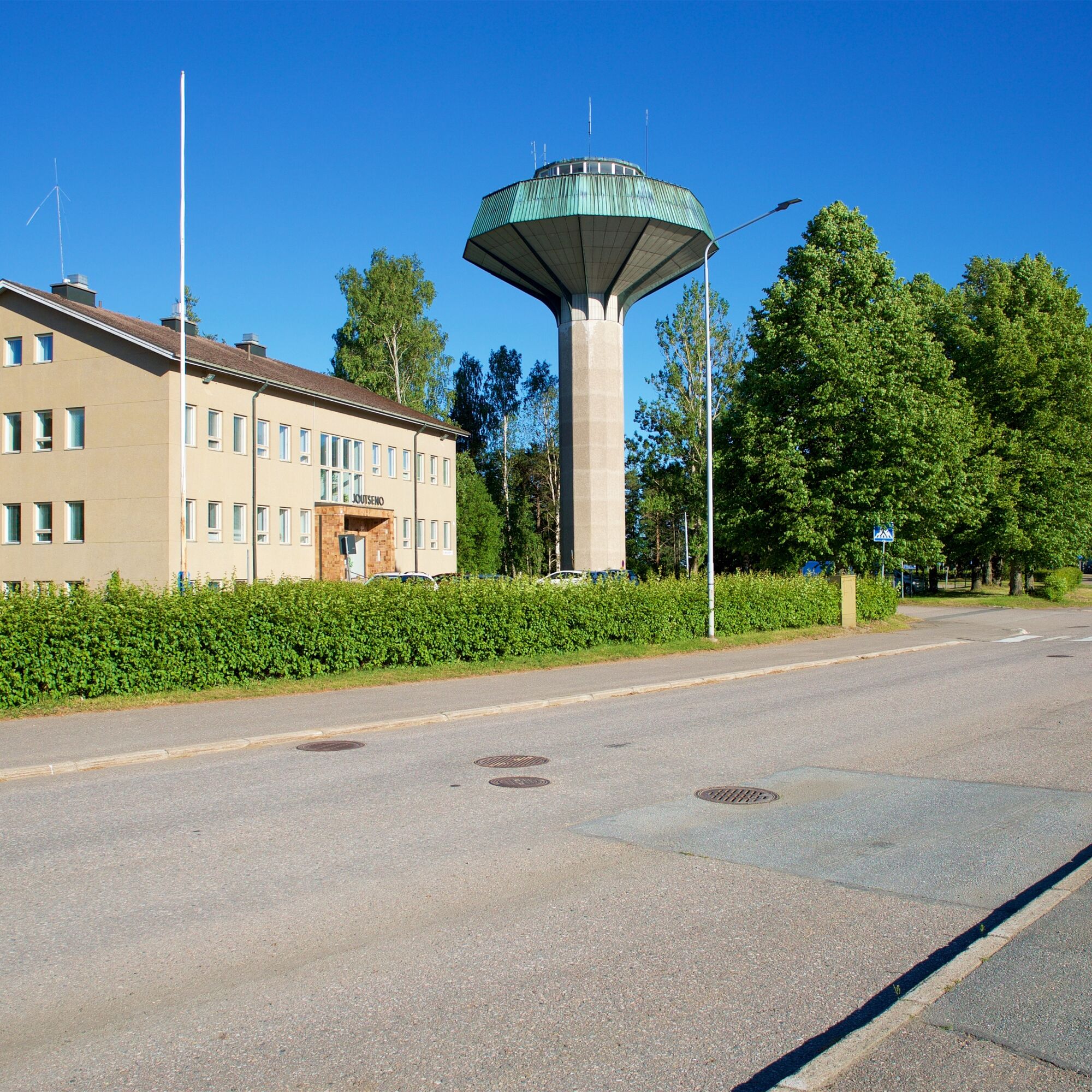
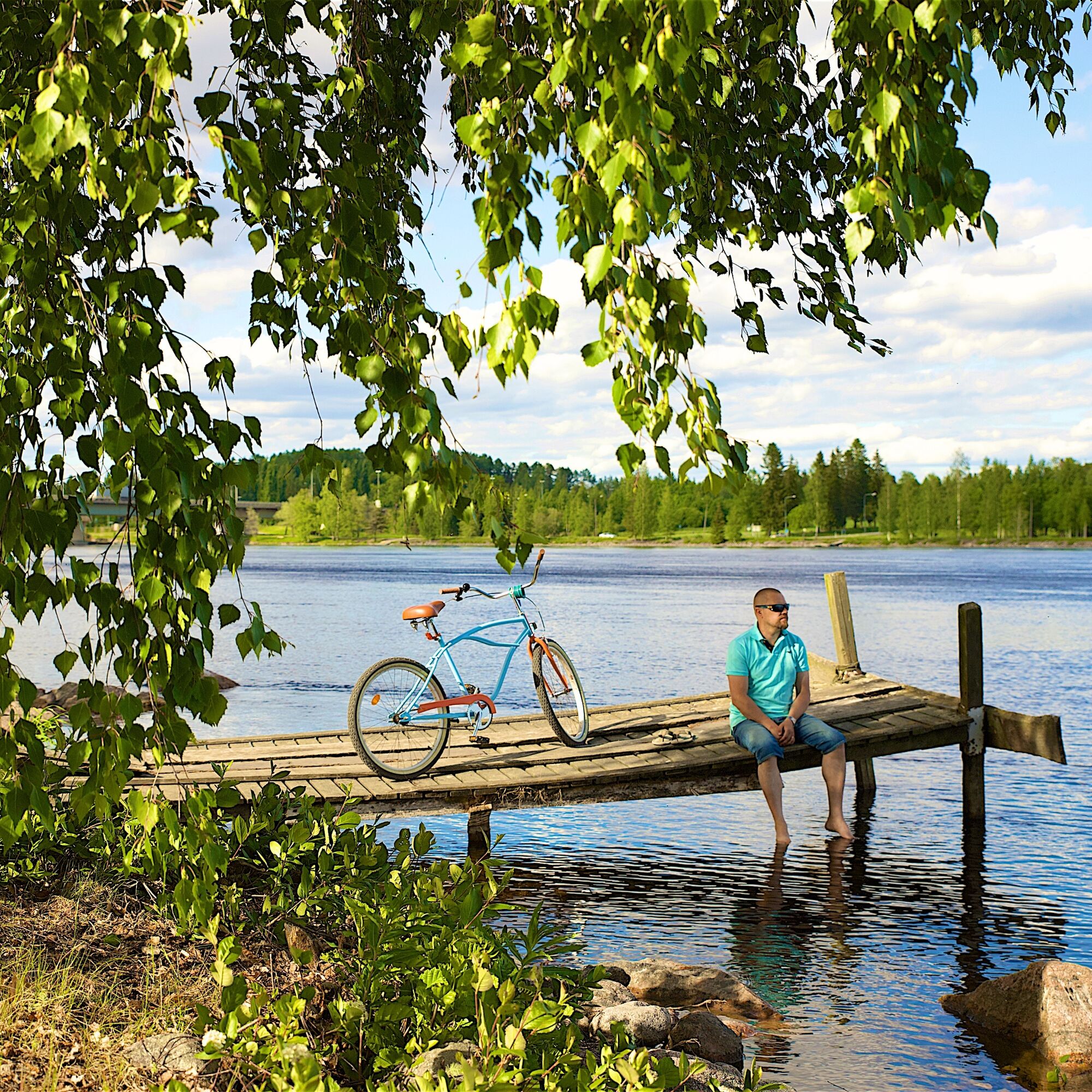
From Imatra, the return follows the Saimaa shore back to Lappeenranta. Along the way, you can take a swim at Hinkanranta or relax in the public sauna. After Hinkanranta, you cycle through Joutseno’s center and then back to the Saimaa shore, riding the scenic Ilottula road through Lauritsala to Lappeenranta center.
The route can also be started from Imatra, and cycling the opposite direction is also possible.
Tak
Tak
Route surface material: asphalt, gravel road. About 30 km of gravel road along the canal and near the border.
Before the trip, it is good to check weather forecasts. Dress appropriately for the weather. It is recommended to also bring first aid equipment, rain gear, spare clothes, as well as snacks and enough drinks.
In an emergency, call 112. Provide your location, explain what has happened, and listen to the instructions.
Imatra Travel Center, address: Koskikatu 1, 55120 Imatra.
Lappeenranta Travel Center, address: Ratakatu 23, 53100 Lappeenranta.
The starting points of the route are the travel centers of Imatra and Lappeenranta.
You can check train schedules on the VR website.
Bus schedules can be checked at Matkahuolto.
There are free parking spaces at Imatra Travel Center.
In the Lappeenranta Travel Center area, there are paid parking spaces for longer-term parking, as well as free parking spaces for temporary parking.
Allow time in both cities; there is plenty to see and do for several days.
Also remember:
Pappilansalmi passenger ferry
The city of Lappeenranta opened a free boat rental service for crossing Pappilansalmi in September 2021. The approximately 150 meter long rowing boat connection between Pappilanniemi and Pikku Lamposaari links the western and the under-construction eastern shore trails.
The crossing opportunity also expands the area's cycling network, as it opens a new route in addition to the shore trails to the nature trails of Pappilanniemi and Mikonsaari as well as the scenic route of Taipalsaari. At the site of the former Pappilansalmi ferry, at the end of Isännöitsijäntie, three rowing boats are available for rent. They can be used free of charge with an electronic reservation system. The boats are intended only for crossing Pappilansalmi. More information and reservation instructions here.
Target groups: active cyclists, adventure seekers, and occasional cyclists.
Popularne wycieczki w okolicy
- 4,5
Taipalsaari scenic cycling route
średniJazda na rowerze 42,7 km Mikonsaari nature trail, Lappeenranta
średniTrasa tematyczna 2,03 kmPappilanniemi nature trail, Lappeenranta
średniTrasa tematyczna 1,78 kmSaimaa Canal lock route by bike, Lappeenranta
światłoJazda na rowerze 25,4 kmLappeenranta city cycling route
światłoJazda na rowerze 10,7 kmLappeenranta Lakeside route (Rantaraitti), geological trail
światłoTrasa tematyczna 6,09 kmPöyhiäniemi nature trail
średniTrasa tematyczna 2,97 kmUkonmäki nature trail, Lappeenranta
średniTrasa tematyczna 0,95 kmRuohosaari circuit, Lappeenranta
średniKajak / Canoe 22,8 kmHaukvuori route, Lappeenranta
średnidługodystansowy szlak pieszy 8,08 km

Wędrówki i tropienie


Nie przegap ofert i inspiracji na następne wakacje
Twój adres e-mail została dodana do listy mailingowej.





