





Huopaisenvirta Hiking Trail, Luumäki

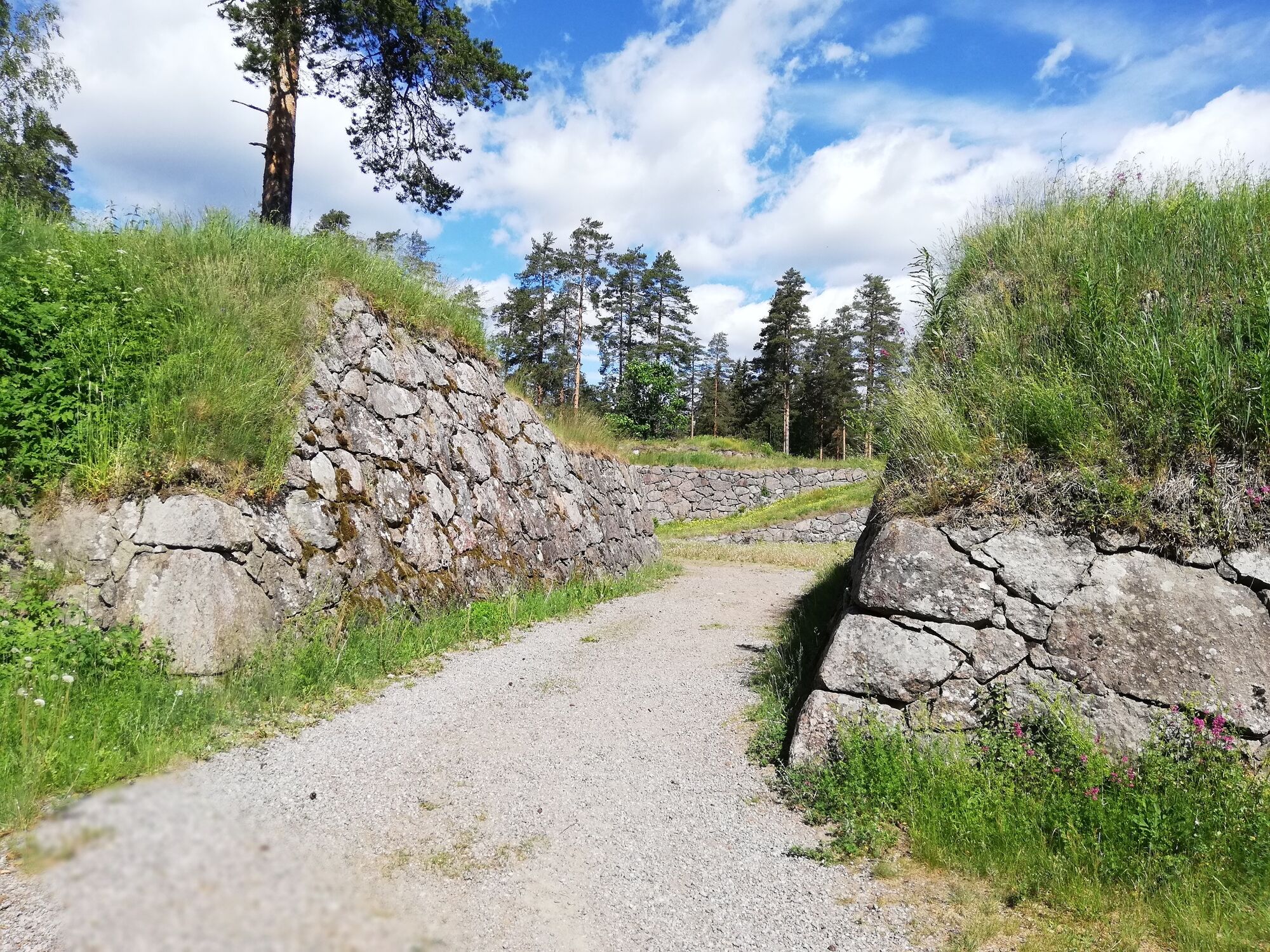
The Huopaisenvirta Hiking Trail (Huopaisenvirran reitti) presents both nature and history. Along the trail, you can first visit Taavetti Fortress. You will also see an anti-tank ditch that belongs to the...
The Huopaisenvirta Hiking Trail (Huopaisenvirran reitti) presents both nature and history. Along the trail, you can first visit Taavetti Fortress. You will also see an anti-tank ditch that belongs to the structures of the main defence line of Salpa Line (Salpalinja). There is a natural-state forest section along the trail. Part of the trail runs along gravel roads. There are no altitude differences and the terrain is easy. In late summer, you may spot ceps and berries by the trail. It is also suitable for mountain biking. The Huopaisenvirta Hiking Trail has been marked with orange paint signs.
By Huopaisenvirta Stream, there is a comfortable lean-to shelter and a bridge across the stream. From the lean-to shelter, you can continue for about 1 km to the Kätökangas hunting lodge. The trail has been marked with orange paint signs all the way to the hunting lodge. Return along the same trail if transport from Kätökangas has not been arranged.

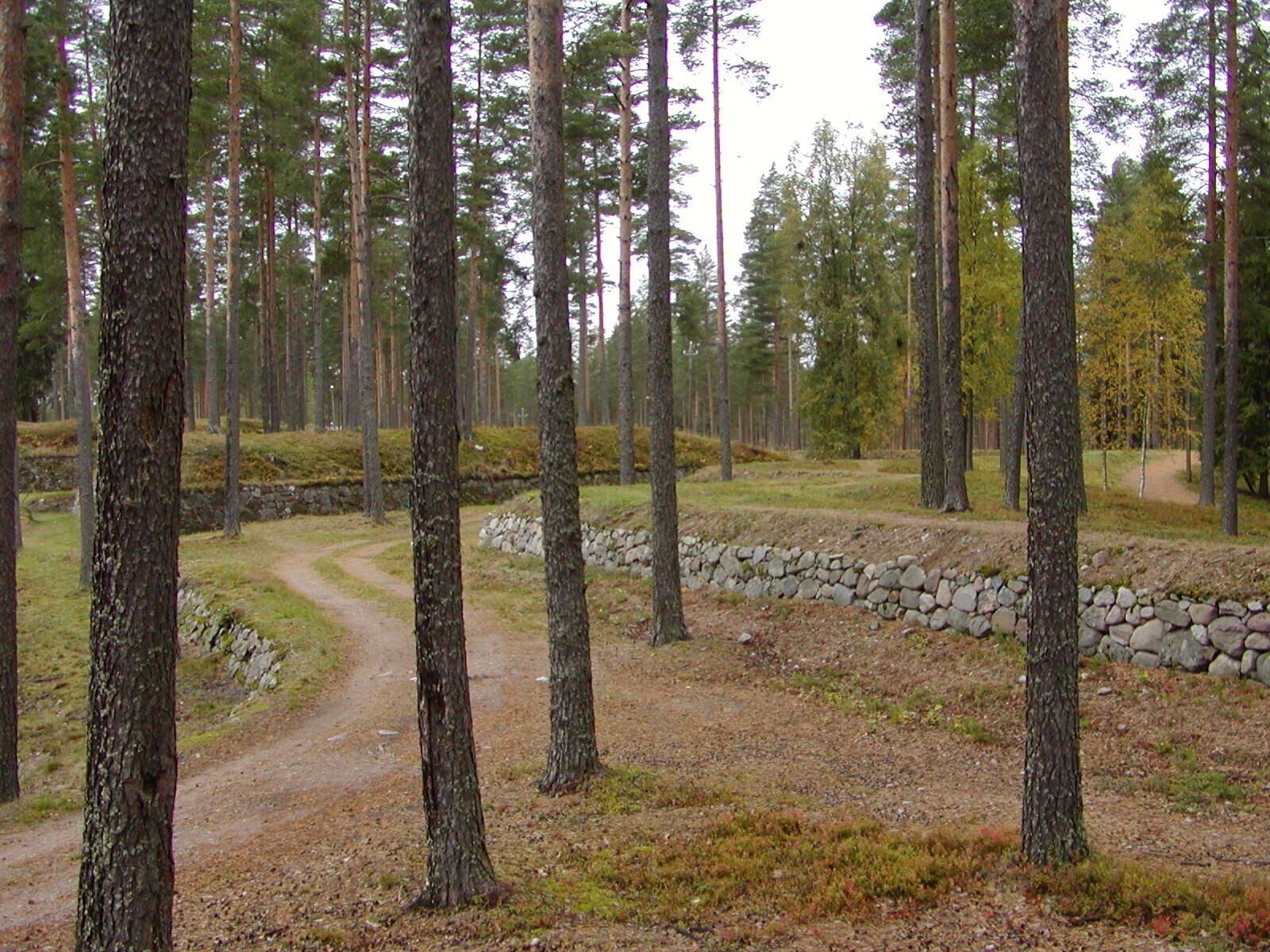
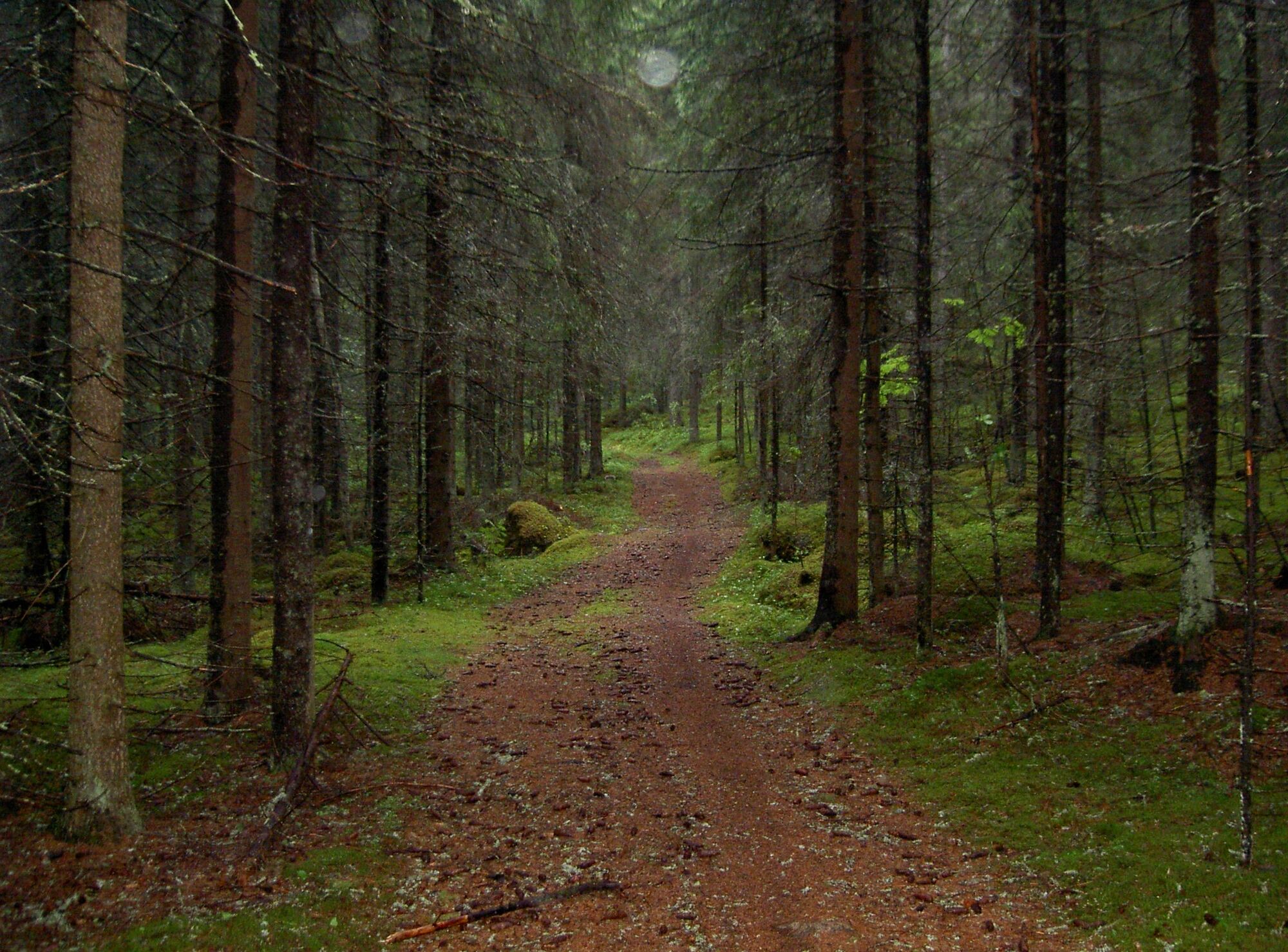
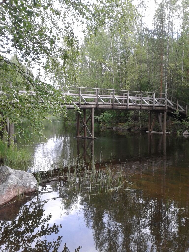
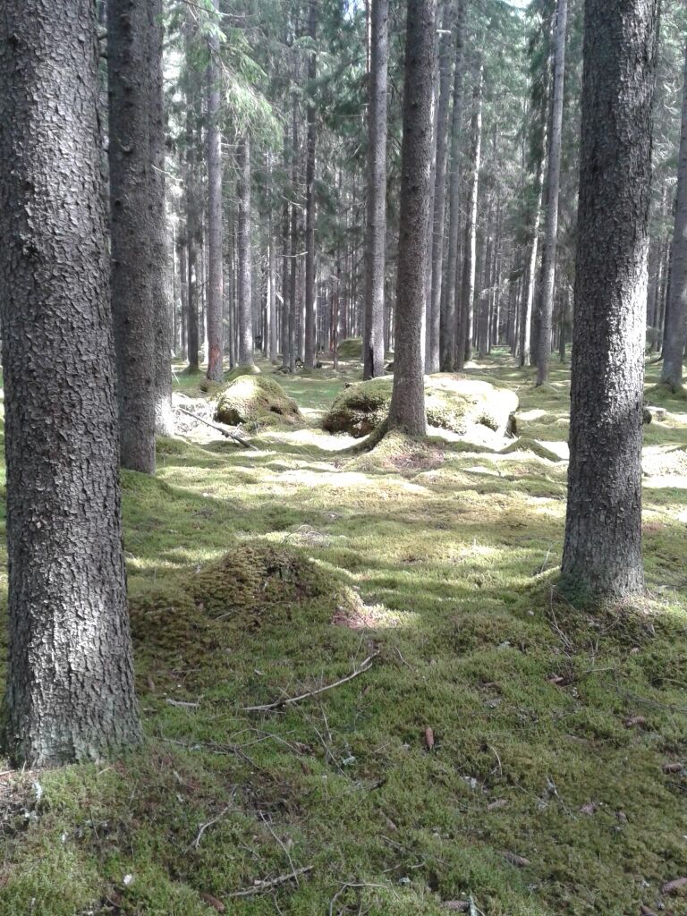
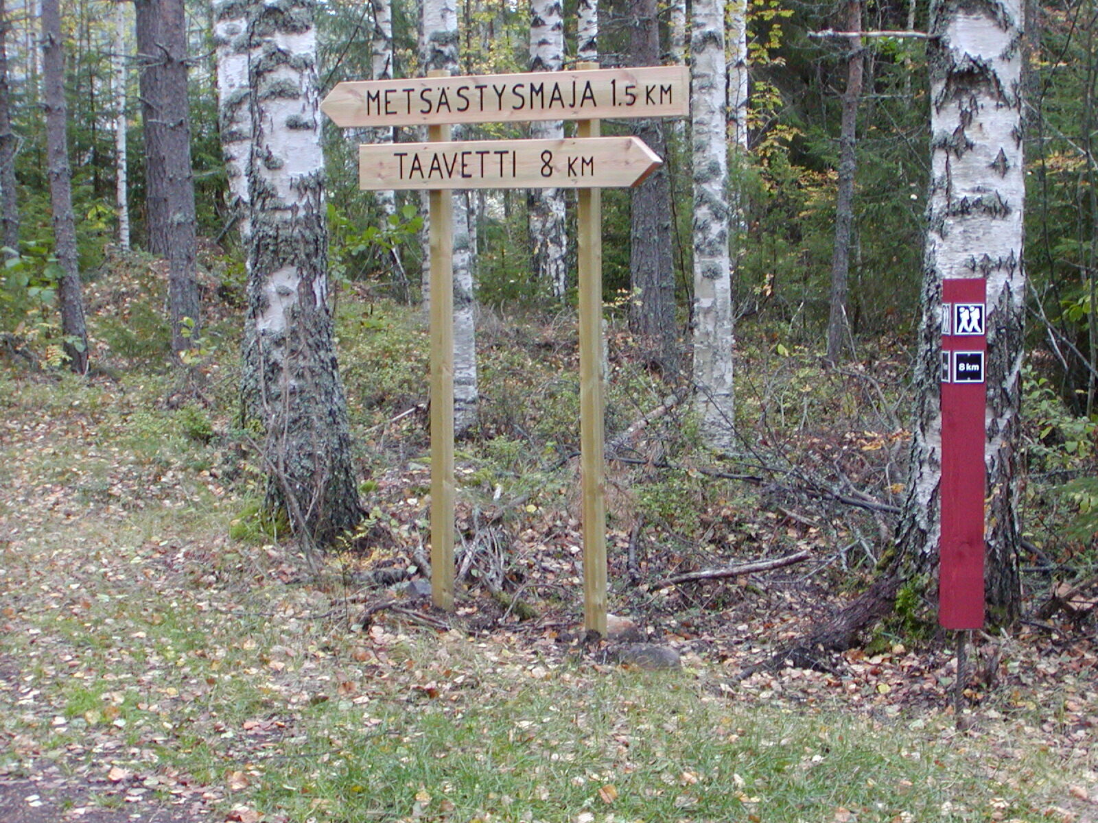
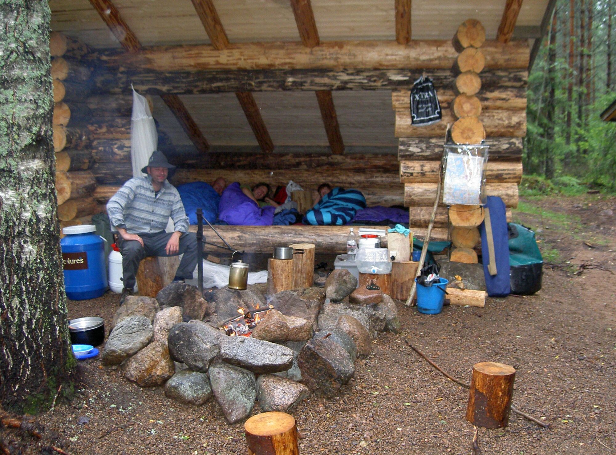
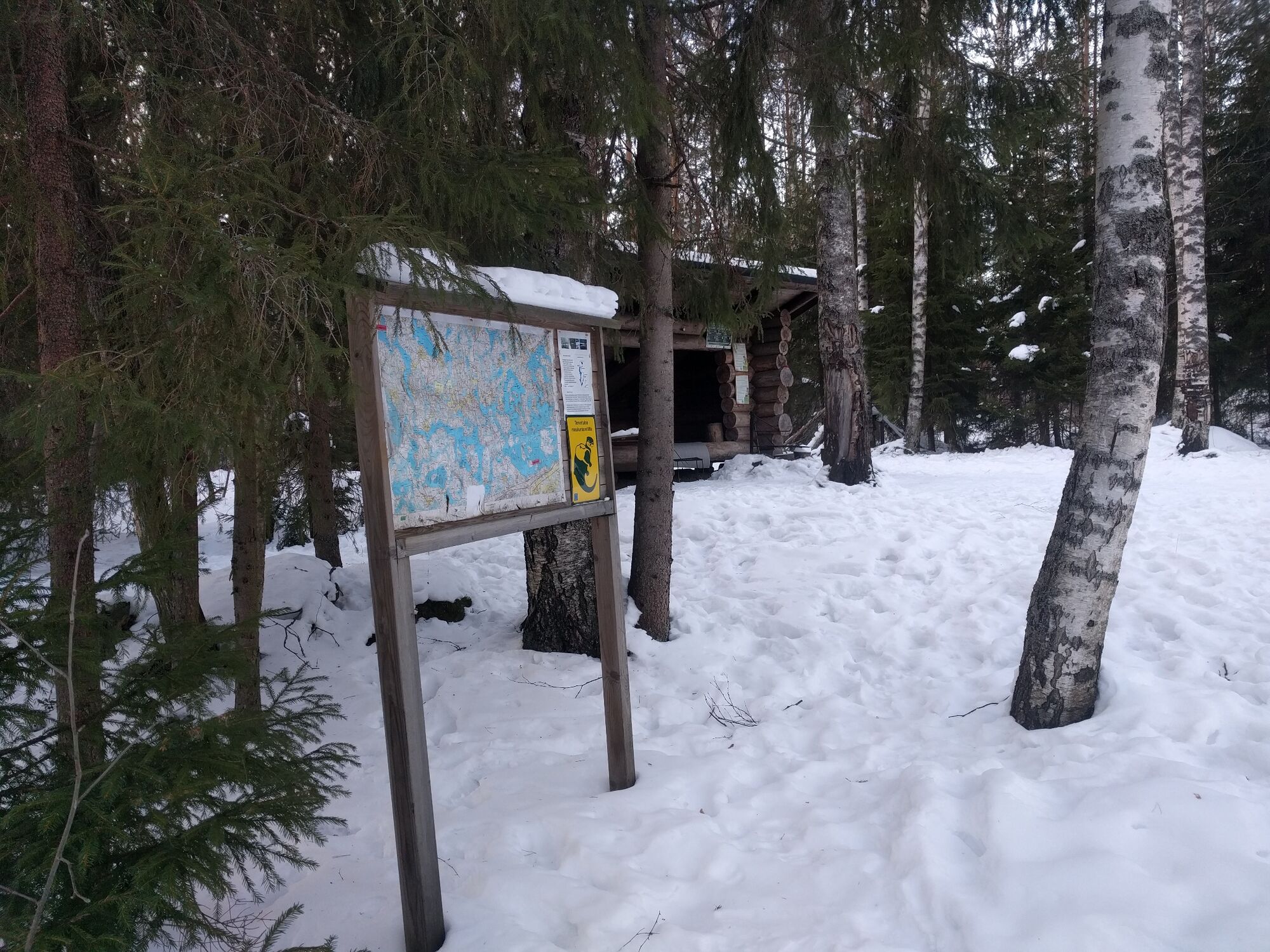
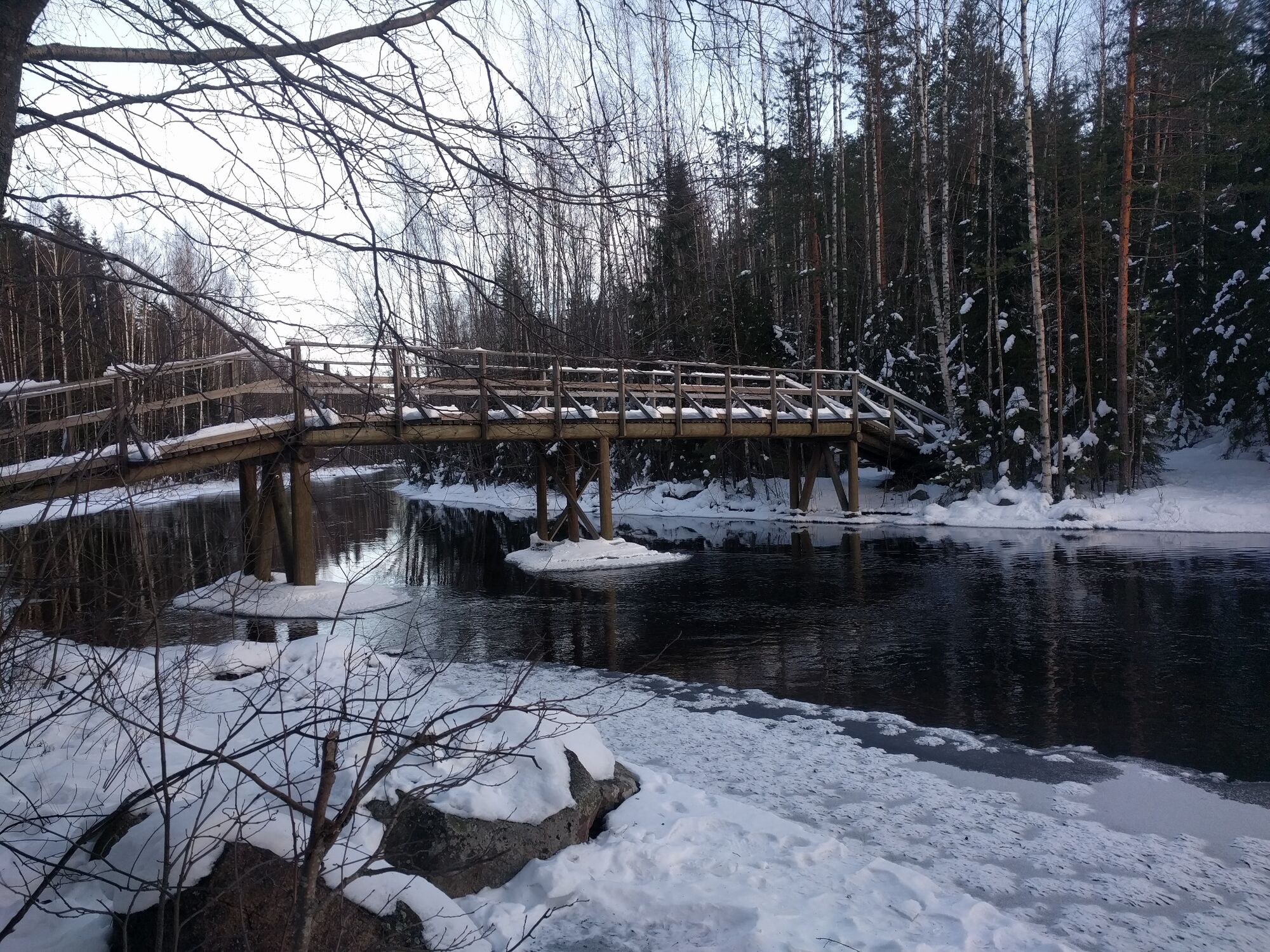
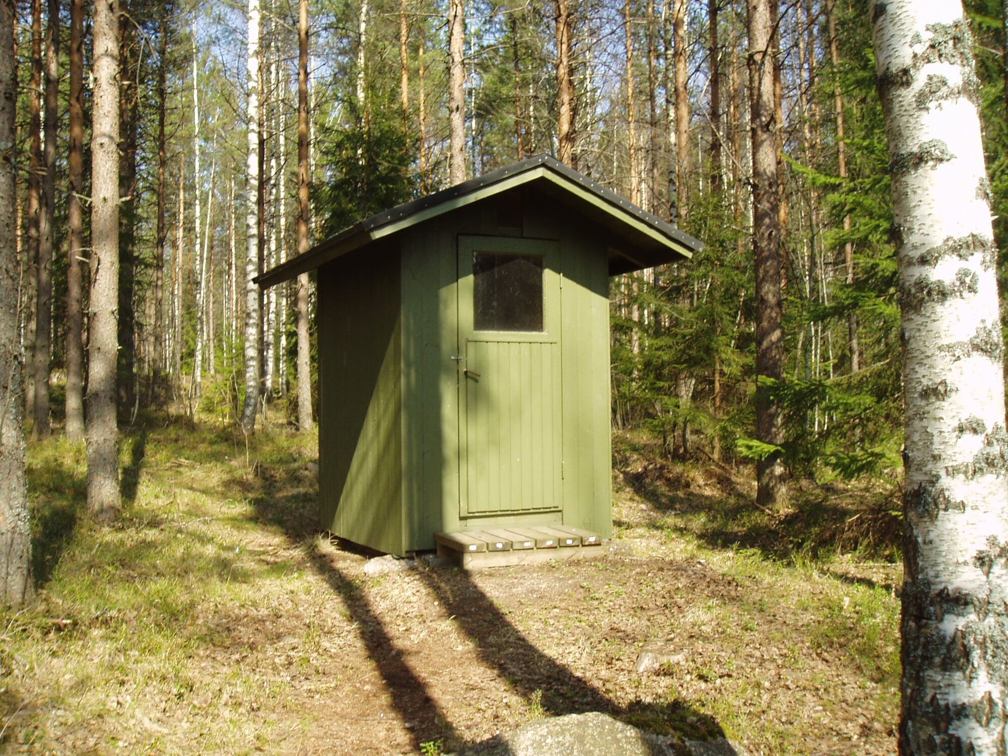
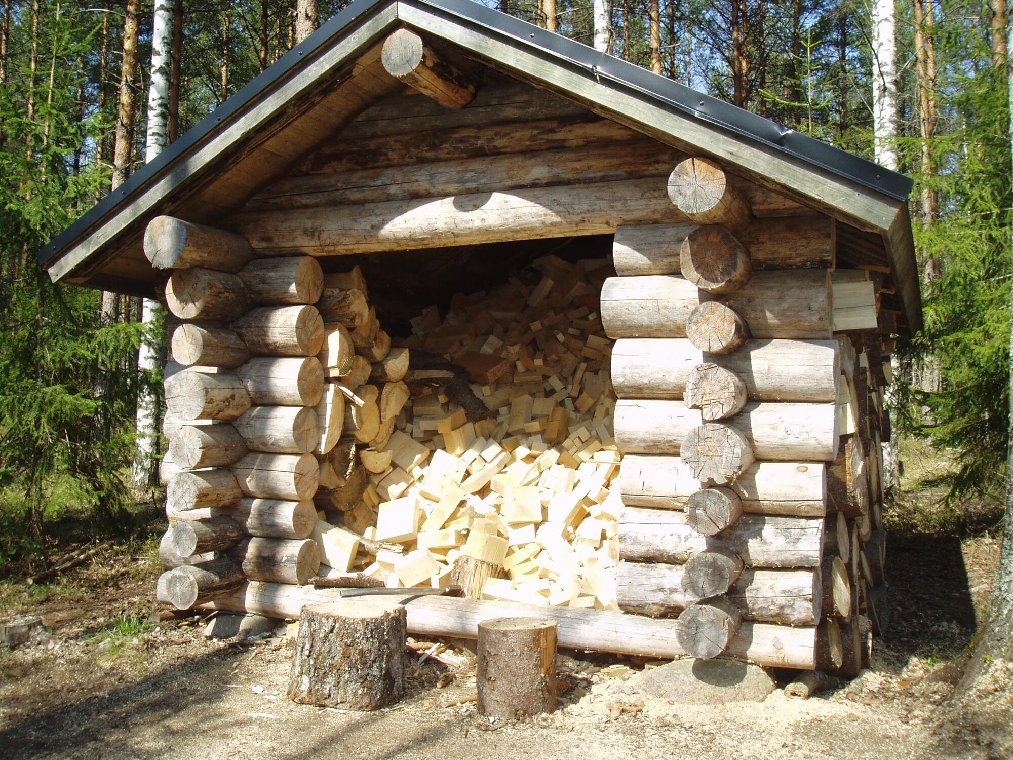

Reitti kulkee pitkin metsäpolkuja ja -teitä. Reitti on helpohko ja maasto helppokulkuista. Huopaisenvirran reittimerkinnät on uudistettu heinäkuussa 2014. Reitti on merkitty oranssilla maalilla. Huopaisenvirralta voi jatkaa vielä eteenpäin noin kilometrin matkan Kätökankaan metsästysmajalle.
Tak
Säänmukainen vaatetus, tukevat jalkineet, riittävästi juomista.
It is safest to move in a group if you do not know the terrain or the water area. Before the excursion, it is advisable to acquire the necessary maps and guides and check the weather forecast, particularly when going boating. Wear sturdy footwear and clothes that suit the weather. It is recommended that you take first aid equipment, rainwear, a spare set of clothes, as well as enough drinks with you, particularly in the summer. Remember to wear a floating vest when boating.
In wet weather and in winter, duckboards, rocks and piers can be slippery.
During the snowy season, the trails and routes are not maintained.
In an emergency, dial the number 112. Report your location, what has happened and listen to the instructions.
Reitin lähtöpaikka Luumäen kunnantalon P-paikalta. Osoite: Linnalantie 33, 54500 Luumäki.
Autot voi pysäköidä Luumäen kunnantalon P-paikalle.
Reitin napakka polku ja soratieosuudet soveltuvat myös maastopyöräilyyn.
Popularne wycieczki w okolicy
-
Lśniące bystrza południa
średniKolarstwo długodystansowe 322,2 km -
Väliväylä paddling route, Lappeenranta - Kouvola
ciężkiKajak / Canoe 241,7 km -
Wycieczka po twierdzach południowo-wschodniej Finlandii
średniKolarstwo długodystansowe 367,0 km -
Kotkaniemi Nature Trail
Trasa tematyczna 0,57 km -
Itsenäisyydentie, Luumäki
średniJazda na rowerze 80,2 km -
Pärsäniemi Nature Reserve, Luumäki
światłoTrasa tematyczna 1,48 km -
Local Food Tasting Cycling Route from Lappeenranta
ciężkiJazda na rowerze 82,7 km -
Tuohtjärvi route, Lemi
średnidługodystansowy szlak pieszy 7,81 km -
Lappeenranta - Lappeen Marian kirkko - Lemi
ciężkiDroga rowerowa 98,9 km -
Lappeenranta - Lemi - Risulahti
średniDroga rowerowa 75,3 km
Wędrówki i tropienie


Nie przegap ofert i inspiracji na następne wakacje
Twój adres e-mail została dodana do listy mailingowej.





