






Balade Verte - Circuit des 2 Monts (SA 2)
Poziom trudności: T2
During this walk, you can discover the village of Saint-Agnan and its church. You will then head towards the heights of the village to discover the pretty views. You'll pass through woods in the hills...
During this walk, you can discover the village of Saint-Agnan and its church. You will then head towards the heights of the village to discover the pretty views. You'll pass through woods in the hills overlooking a former convent in Issangy, the famous "Croix de Pierre", and visit "Saint-Denis", the famous locality with its faithfully restored chapel. Along the way, you'll find 3 interpretation tables recounting the history of the church, the Moulin d'Issangy and the Chapelle Saint-Antoine.
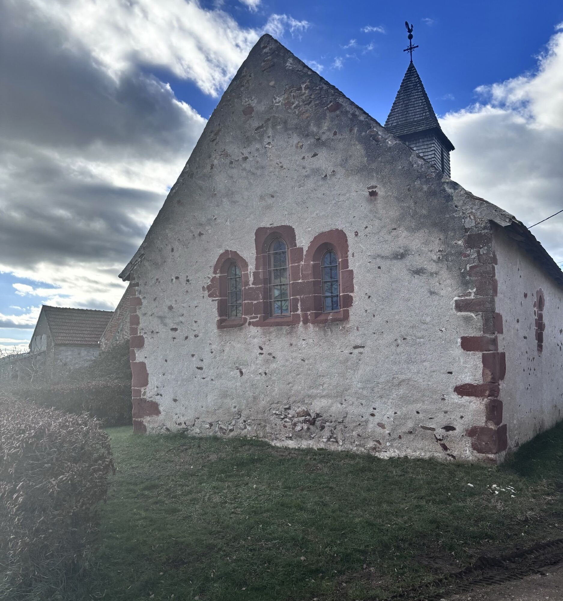
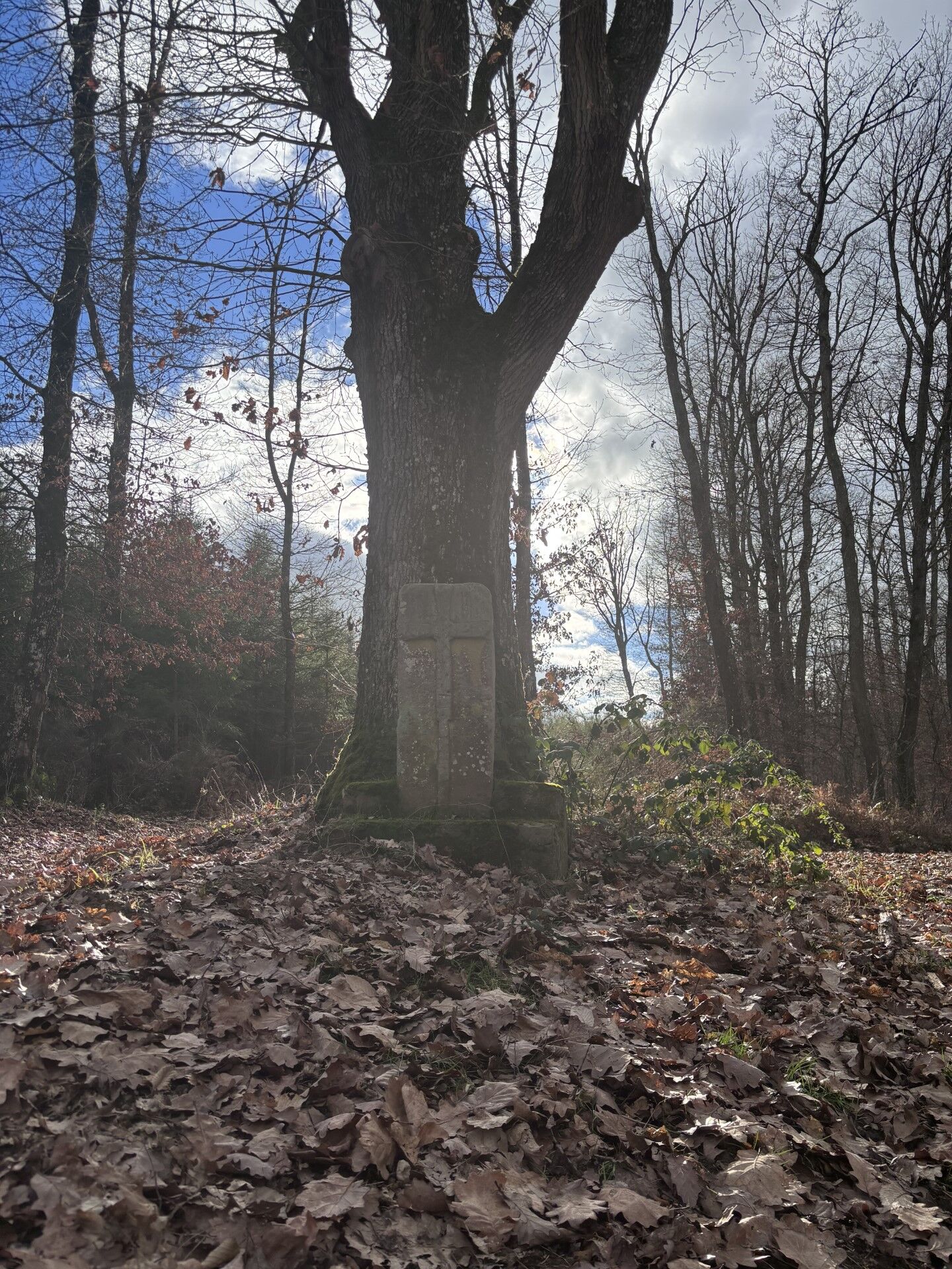
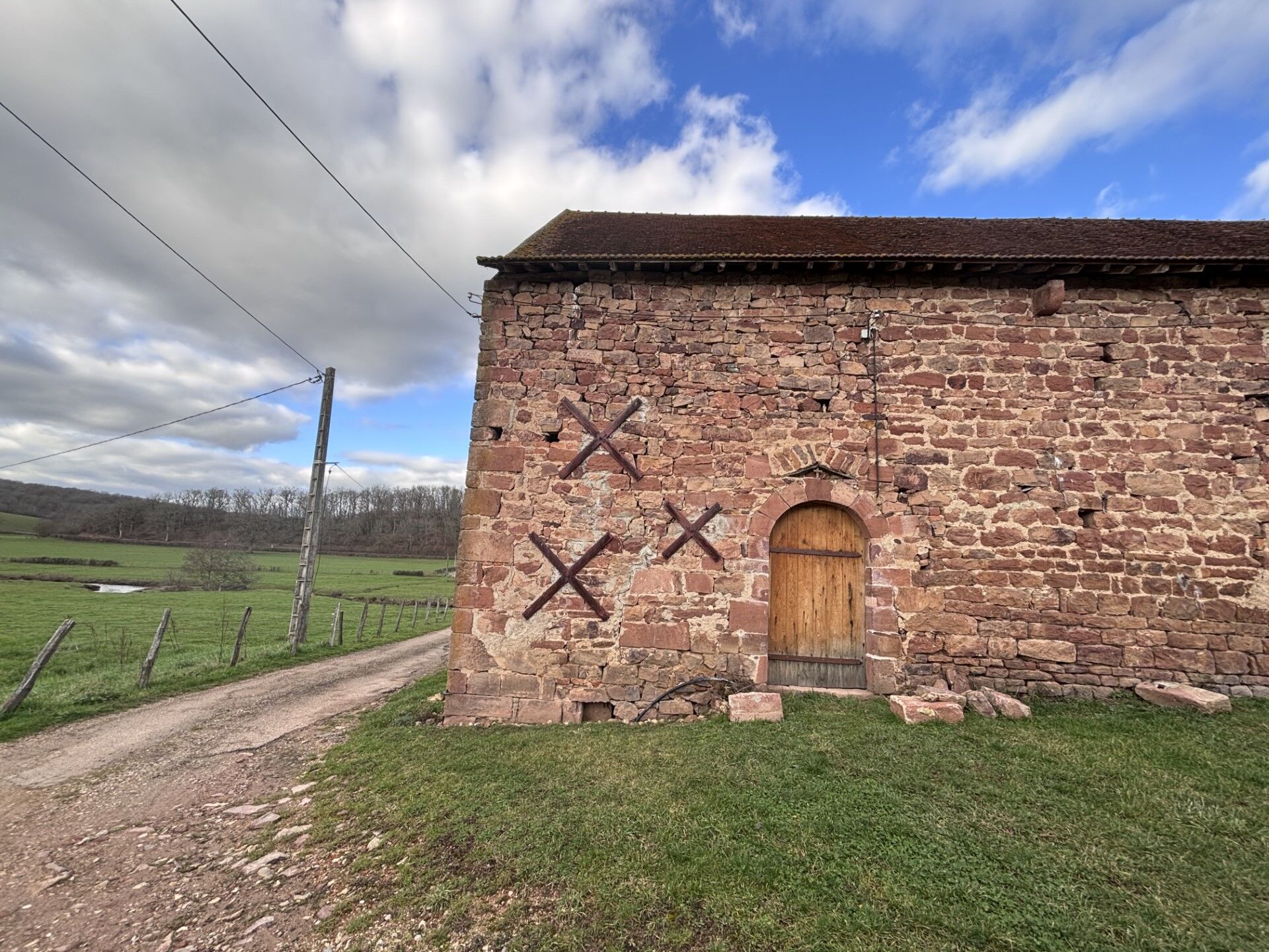

In case of emergency, dial 112
Consider carpooling
Parking near the starting point
T2
Popularne wycieczki w okolicy
-
CycloRoute71 - Etape 9 de Bourbon-Lancy à Paray-le-Monial
światłoJazda na rowerze 45,2 km -
La Voie Verte, au fil de la Loire
światłoJazda na rowerze 103,1 km -
Digoin
średniWędrówka 9,76 km -
Dompierre-Sept-Fons - L'Olive - L'Artichaut - Dompierre-sur-Besbre
średniJazda na rowerze 49,1 km -
Cité Faïencerie - Paray-le-Monial - Chapelle Notre-Dame - Digoin
średniRower szutrowy 35,8 km -
Cité du Passage à Niveau - Église du Sacré-Cœur - Église Saint-Pierre - Le Bord'Ô
ciężkiJazda na rowerze 63,6 km -
Mont - Perrigny-sur-Loire - Église de l'Assomption - Aupont
ciężkiJazda na rowerze 44,3 km -
Mercully - La Chapelle-au-Mans - Tête des Bois - Église Saint-Maurice
średniJazda na rowerze 32,2 km -
Dompierre-Sept-Fons - L'Artichaut - Dompierre-sur-Besbre - L'Olive
średniMountainbike 56,3 km -
Bourbon-Lancy - Saint-Léger - Église de l'Assomption - Église Sainte-Anne
średniJazda na rowerze 34,4 km
Wędrówki i tropienie


Nie przegap ofert i inspiracji na następne wakacje
Twój adres e-mail została dodana do listy mailingowej.





