
CycloRoute71 - Etape 9 de Bourbon-Lancy à Paray-le-Monial
światło
Pobierz tę trasę na swój telefon komórkowy
CycloRoute71 - Etape 9 de Bourbon-Lancy à Paray-le-Monial
światło
Jazda na rowerze
45,21
km
Zeskanuj kod QR i rozpocznij nawigację w aplikacji bergfex.


Wędrówki i tropienie



CycloRoute71 - Etape 9 de Bourbon-Lancy à Paray-le-Monial
światło
Odległość
45,2
km
Czas trwania
02:20
h
Ascent
42
hm
Poziom morza
217 -
276
m

Nawiguj po trasie w aplikacji
Zainstaluj aplikację za darmo i śledź trasę dzięki nawigacji GPS i funkcji śledzenia.
Skorzystaj już teraz z funkcji „ bergfex ” w aplikacji
Zeskanuj kod QR za pomocą aparatu
Po zainstalowaniu aplikacji treść otworzy się od razu. Jeśli jeszcze nie masz tej aplikacji, zostaniesz przekierowany do strony, z której możesz ją bezpłatnie pobrać.
Poziom trudności: 1
Ścieżka do pobrania
CycloRoute71 - Etape 9 de Bourbon-Lancy à Paray-le-Monial
światło
Jazda na rowerze
45,21
km

Located in the heart of the Charolais region, this ninth stage of the CycloRoute71 is still very accessible. It alternates between the winding waters of the Loire and the canals. The towns of Digoin and...
Opis
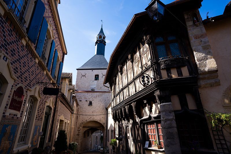
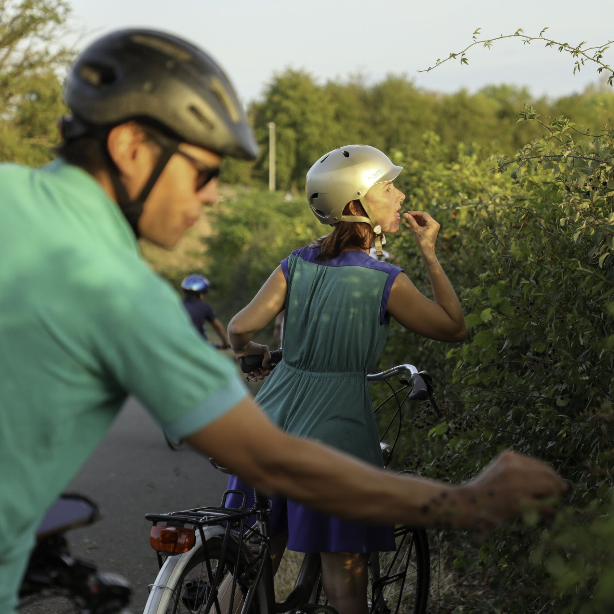
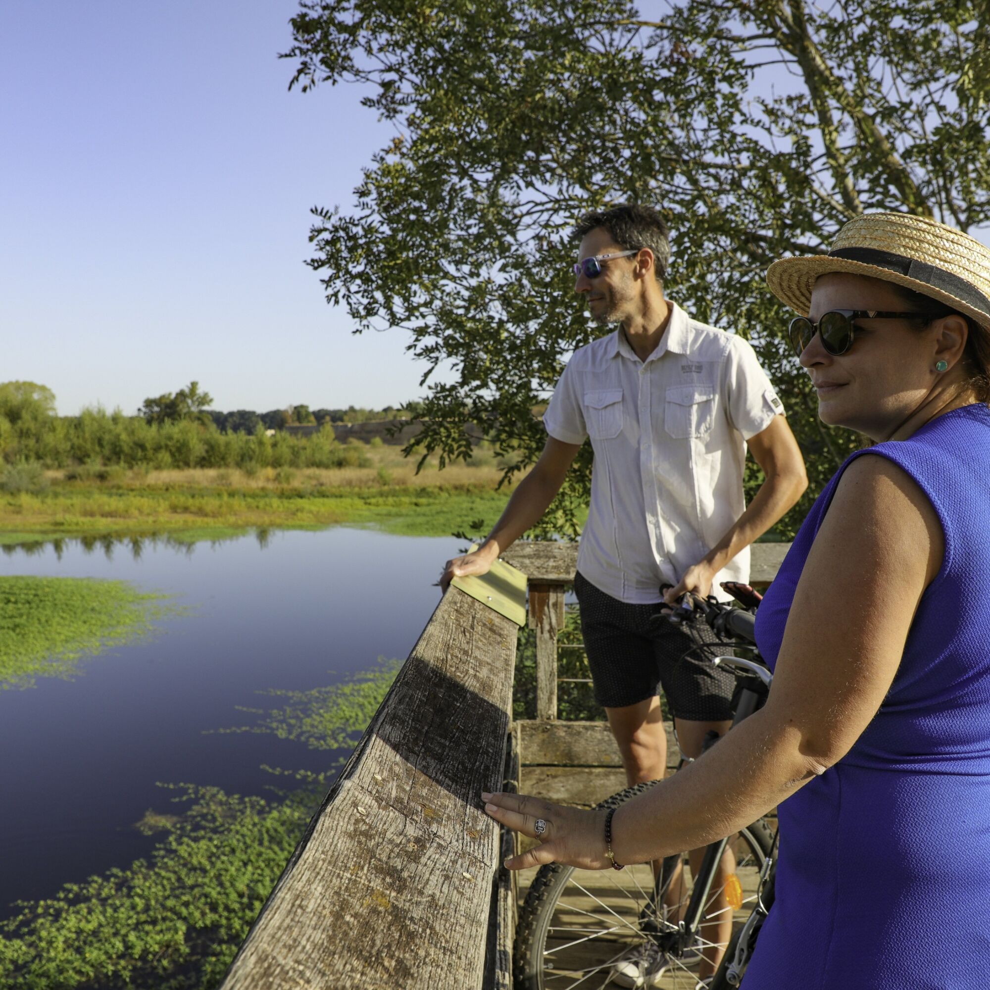
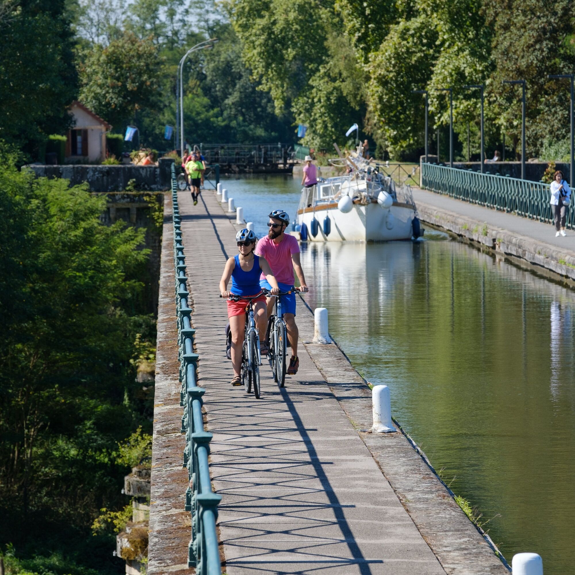
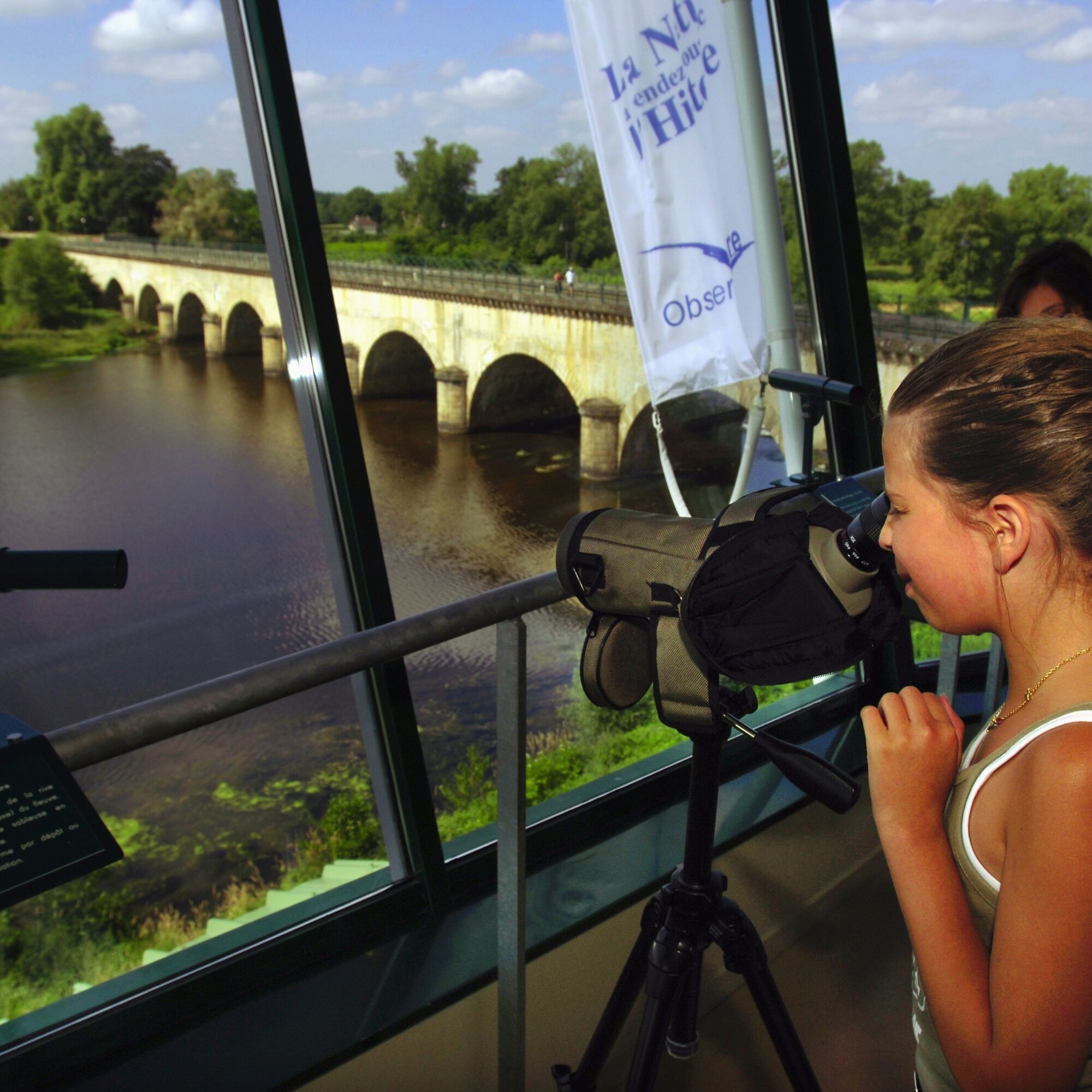
Located in the heart of the Charolais region, this ninth stage of the CycloRoute71 is still very accessible. It alternates between the winding waters of the Loire and the canals. The towns of Digoin and Paray-le-Monial enhance the route with their many surprising heritage treasures. Tranquillity and relaxation guaranteed throughout your walk.
Trasa
Bourbon-Lancy
(279 m)
Wioska
0,0 km
Lotissement Les Eurimants
(241 m)
Sąsiedztwo
1,9 km
Les Carrières
(219 m)
Rozliczenie
11,9 km
Pierrefitte-sur-Loire
(227 m)
Wioska
18,1 km
Le Péage
(228 m)
Rozliczenie
27,9 km
Terre de Chavanne
(230 m)
Sąsiedztwo
31,0 km
Paray-le-Monial
(240 m)
Miasto
45,0 km
Trasa
CycloRoute71 - Etape 9 de Bourbon-Lancy à Paray-le-Monial
światło
Jazda na rowerze
45,21
km
Bourbon-Lancy
(279 m)
Wioska
0,0 km
Saint-Léger
(241 m)
Rozliczenie
0,4 km
Lotissement Grande Murette
(240 m)
Sąsiedztwo
1,4 km
Lotissement Les Eurimants
(241 m)
Sąsiedztwo
1,9 km
Saint-Aubin-sur-Loire
(229 m)
Wioska
6,3 km
Les Chaumes
(231 m)
Rozliczenie
10,0 km
Les Carrières
(219 m)
Rozliczenie
11,9 km
Putay
(225 m)
Rozliczenie
13,9 km
Auberge La Péniche
(226 m)
Restauracja
17,8 km
Pierrefitte-sur-Loire
(227 m)
Wioska
18,1 km
Coulanges
(227 m)
Wioska
22,2 km
La Micaudière
(230 m)
Rozliczenie
26,4 km
Le Péage
(228 m)
Rozliczenie
27,9 km
La Fontaine-Saint-Martin
(232 m)
Rozliczenie
29,2 km
Terre de Chavanne
(230 m)
Sąsiedztwo
31,0 km
Digoin
(236 m)
Wioska
32,6 km
Le Paradis
(234 m)
Korytarz/teren
37,0 km
Paray-le-Monial
(240 m)
Miasto
45,0 km
Autor
Dostarczone przez Mission Tourisme du Département de Saône-et-Loire
Wycieczkę CycloRoute71 - Etape 9 de Bourbon-Lancy à Paray-le-Monial zapewnia outdooractive.com.

Instrukcje bezpieczeństwa
In case of emergency, dial 112
Informacje o przyjeździe
Przybycie
Consider carpooling
Parking
Parking near the starting point
Dodatkowe informacje i wskazówki
Poziom trudności
1
Dodatkowe informacje
Direction de l'Attractivité et de la Communication - Département 71 https://route71.fr
Nie ma jeszcze recenzji
Popularne wycieczki w okolicy
La Voie Verte, au fil de la Loire
światłoJazda na rowerze 103,1 kmBalade Verte - Circuit des 2 Monts (SA 2)
średniWędrówka 11,5 kmDigoin
średniWędrówka 9,76 kmJaligny-sur-Besbre - La grotte aux fées - Église Saint-Sulpice - Chapelle Saint-Hilaire
średniDroga rowerowa 53,3 kmDompierre-Sept-Fons - L'Artichaut - Dompierre-sur-Besbre - L'Olive
średniMountainbike 56,3 kmSaint-Léger - Le Fourneau - Église Saint-Privat - Bourbon-Lancy
średniMountainbike 39,8 kmLa Gare - Église Saint-Pons - Église Saint-Germain - Église Saint-Pierre et Saint-Paul
średniDroga rowerowa 60,8 kmBourbon-Lancy - Saint-Léger - Église de l'Assomption - Église Sainte-Anne
średniJazda na rowerze 34,4 kmCité du Passage à Niveau - Église du Sacré-Cœur - Église Saint-Pierre - Le Bord'Ô
ciężkiJazda na rowerze 63,6 kmMont - Perrigny-sur-Loire - Église de l'Assomption - Aupont
ciężkiJazda na rowerze 44,3 km
Wędrówki i tropienie

Ponad 550.000 propozycji wycieczek, szczegółowe mapy i intuicyjny planer tras sprawiają, że aplikacja jest niezbędna dla wszystkich entuzjastów przyrody.

Nie przegap ofert i inspiracji na następne wakacje
Zapisz się do newslettera
Błąd
Wystąpił błąd. Spróbuj ponownie.Dziękujemy za rejestrację
Twój adres e-mail została dodana do listy mailingowej.
Wycieczki po całej Europie
Austria Szwajcaria Niemcy Włochy Słowenię Francja Holandia Belgia Polska Liechtenstein Czechy Słowacja Hiszpania Chorwacja Bośnia i Hercegowina Luksemburg Andorra Portugalia Islandia Wielka Brytania Irlandia Grecja Albania Macedonia Północna Malta Norwegia Czarnogóra Mołdawia Kosowo Węgry San Marino Rumunia Estonia Łotwa Białoruś Cypr Litwa Serbia Bułgaria Monako Dania Szwecja Finlandia


