
Flore et Faune en Bord de Lac
średni
Pobierz tę trasę na swój telefon komórkowy
Flore et Faune en Bord de Lac
średni
Wędrówka
3,30
km
Zeskanuj kod QR i rozpocznij nawigację w aplikacji bergfex.


Wędrówki i tropienie





Flore et Faune en Bord de Lac
średni
Odległość
3,30
km
Czas trwania
00:49
h
Ascent
-
hm
Poziom morza
374 -
385
m

Nawiguj po trasie w aplikacji
Zainstaluj aplikację za darmo i śledź trasę dzięki nawigacji GPS i funkcji śledzenia.
Skorzystaj już teraz z funkcji „ bergfex ” w aplikacji
Zeskanuj kod QR za pomocą aparatu
Po zainstalowaniu aplikacji treść otworzy się od razu. Jeśli jeszcze nie masz tej aplikacji, zostaniesz przekierowany do strony, z której możesz ją bezpłatnie pobrać.
Ścieżka do pobrania
Flore et Faune en Bord de Lac
średni
Wędrówka
3,30
km
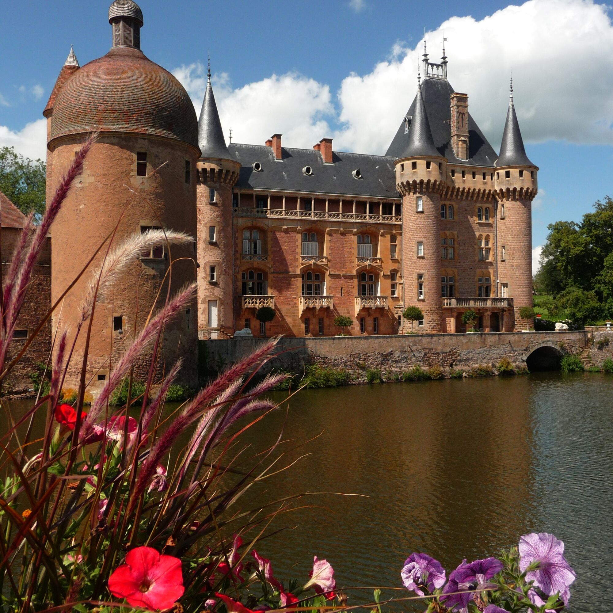
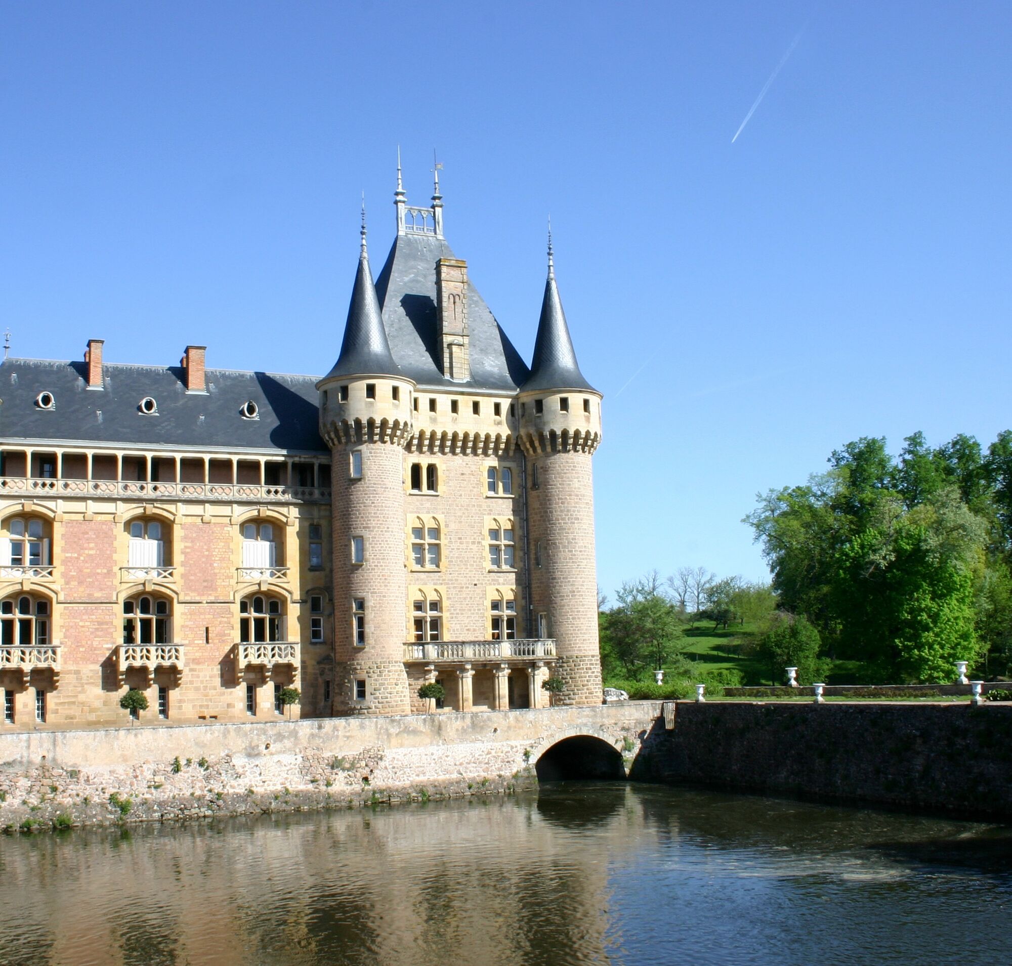
Start your walk at the side of Le Pont Levis (the Drawbridge). Follow the lake until you arrive at the Leisure Park (picnic area, boules, minigolf, children’s area, jogging and cycle circuit). Follow the...
Opis
Start your walk at the side of Le Pont Levis (the Drawbridge). Follow the lake until you arrive at the Leisure Park (picnic area, boules, minigolf, children’s area, jogging and cycle circuit). Follow the Exercise Course. Go back to the Castle via the Promenade.
Trasa
Autor
Dostarczone przez Mission Tourisme du Département de Saône-et-Loire
Wycieczkę Flore et Faune en Bord de Lac zapewnia outdooractive.com.

Instrukcje bezpieczeństwa
In case of emergency, dial 112
Informacje o przyjeździe
Przybycie
Consider carpooling
Parking
Parking near the starting point
Dodatkowe informacje i wskazówki
Dodatkowe informacje
LA CLAYETTE - CHAUFFAILLES â OT Sud Brionnais http://www.tourisme-sudbrionnais.fr
Wskazówki
Nie ma jeszcze recenzji
Popularne wycieczki w okolicy
-
CycloRoute71 - Etape 11 de La Clayette à Cluny
średniJazda na rowerze 56,8 km -
La balade des rhododendrons
światłoJazda konna 6,60 km -
5,0
M3 Mountain Bike Tour from Monsols to St. Igny
ciężkiMountainbike 36,3 km -
Balade Verte - La vallée de la Vaivre (B 2)
średniWędrówka 6,69 km -
Circuit des digitales
średniWędrówka 13,6 km -
Boucle intercommunale
średniWędrówka 75,0 km -
Sentier botanique
światłoJazda konna 5,76 km -
Dun et la vallée du Mussy
średniWędrówka 18,9 km -
Balade en Bocage
średniWędrówka 12,0 km -
Les charmes - Beaujolais - Saint-Igny-De-Vers
światłoWędrówka 15,3 km
Wędrówki i tropienie

Ponad 550.000 propozycji wycieczek, szczegółowe mapy i intuicyjny planer tras sprawiają, że aplikacja jest niezbędna dla wszystkich entuzjastów przyrody.

Nie przegap ofert i inspiracji na następne wakacje
Zapisz się do newslettera
Błąd
Wystąpił błąd. Spróbuj ponownie.
Dziękujemy za rejestrację
Twój adres e-mail została dodana do listy mailingowej.
Wycieczki po całej Europie
Austria
Szwajcaria
Niemcy
Włochy
Słowenię
Francja
Holandia
Belgia
Polska
Liechtenstein
Czechy
Słowacja
Hiszpania
Chorwacja
Bośnia i Hercegowina
Luksemburg
Andorra
Portugalia
Islandia
Wielka Brytania
Irlandia
Grecja
Albania
Macedonia Północna
Malta
Norwegia
Czarnogóra
Mołdawia
Kosowo
Węgry
San Marino
Rumunia
Estonia
Łotwa
Białoruś
Cypr
Litwa
Serbia
Bułgaria
Monako
Dania
Szwecja
Finlandia





