







Route to the Thick Oak
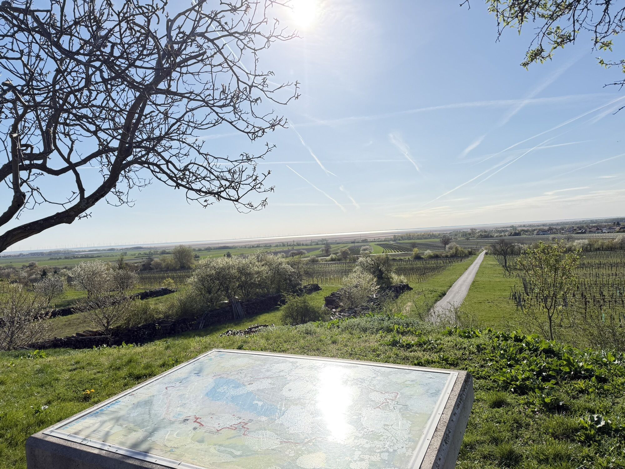


You start at the municipal office in Donnerskirchen and walk up the main road past the Leisserhof. Then turn left into Wiener Straße and continue straight ahead past the cemetery wall. There is a beautiful Mother of God on the way. At another shrine, the Trinity, turn right and then immediately left again, where you enter the forest. A sign leads you along a narrow path to the forest chapel, passing by the chapel and following the path that makes a right turn. After that you come to a forest road, which you follow shortly to the left. On the way there is a high stand, there you turn left again into the forest onto a trampelpath. After a few hundred meters, the mighty, thick oak tree opens up in front of you. You continue along the path and arrive at a forest road with hives. Follow this in a south-easterly direction along the Tiergarten wall until you reach the mobile home park. From here, it is possible to return to the starting point. To continue the route, go through the terraced residential park and back into the forest slightly downhill. You keep to the right and finally reach a deer enclosure and further to the Hubertuskapelle. From here you take the path towards Donnerskirchen. After a bridge, turn left and then right from the stream onto the Kneipp path. Follow this to the Sonnenwaldbad and from there back to the starting point.
Highlights:
The Leisserhof is an old manor house whose roots date back to the 14th century. Interesting are the shrines along the way: The Lord of the Trinity wears Mongolian features. At the Pest chapel in the forest a chapel was built in front of the existing Bildstock. The shrine had to be raised to rise above the chapel. The thick oak that has been standing here for centuries is impressive. The 30-kilometre long wall of the zoo surrounds a private hunting ground. Here, centuries ago, the emperors and kings hunted, today it is a generously developed hoisting facility. The Kneipp path offers refreshment - especially the last stop, where you walk a bit through the cool streamDetails on travelling can be found here: Calculate route
Travelling by train:
Lake Neusiedl is easy and convenient to reach by train. Regardless of whether you are travelling from Switzerland, Germany, the west or south of Austria: You can change trains at Vienna Central Station with ease. ÖBB regional trains take you to Neusiedl am See station in just under 40 minutes, where there are also coordinated bus and train connections to Pamhagen / Fertöszentmiklos or Eisenstadt or Sopron. Bicycles can be taken on most trains: on the Railjet and EC/IC as well as on the Nightjets, a reservation for your bicycle is absolutely necessary. On regional trains, your bicycle can be taken on board without a reservation, subject to availability of the available bicycle spaces.
Timetable information: ÖBB
The Burgenland app also provides you with information about tours, routes and altitude metres while you're out and about.
Are you looking for a pre-made package for your active holiday? You'll find it here: Package deals at Lake Neusiedl
With the Burgenland Card: unlimited holiday fun & offers as far as the eye can see!
All the info you need: Burgenland Card

Popularne wycieczki w okolicy
-
4,7
Cherry Blossom Cycle Route
średniJazda na rowerze 43,2 km -
4,7
Kloster St. Anna & Ruine Scharfeneck zu Mannersdorf
światłoWędrówka 5,27 km -
4,6
MANNERSDORF, St.Anna, Aussichtspkt. Stb.1 Ruine Scharfeneck, F.J.Warte, Aussichtspkt. Stb.2 20230329
średniWędrówka 16,5 km -
4,2
MTB Bäckersteig route
ciężkiMountainbike 25,5 km -
4,4
Festival route | Variant Mörbisch - St. Margarethen - Rust - Mörbisch
światłoJazda na rowerze 21,0 km -
4,4
Picturesque Rust high delight
Jazda na rowerze 42,6 km -
4,4
Smugglers' route "Donnerskirchen" to Mannersdorf
ciężkiWędrówka 18,8 km -
4,4
About / around the Burgstall
średniWędrówka 10,1 km -
4,8
Festival cycle route
światłoJazda na rowerze 66,3 km -
4,4
Festival cycling route | Variant Donnerskirchen - Oggau - Oslip - Schützen - Donnerskirchen
światłoJazda na rowerze 27,5 km

Wędrówki i tropienie


Nie przegap ofert i inspiracji na następne wakacje
Twój adres e-mail została dodana do listy mailingowej.





