


Old Craft Trail - Unterkohlstätten (Trail number: 4)
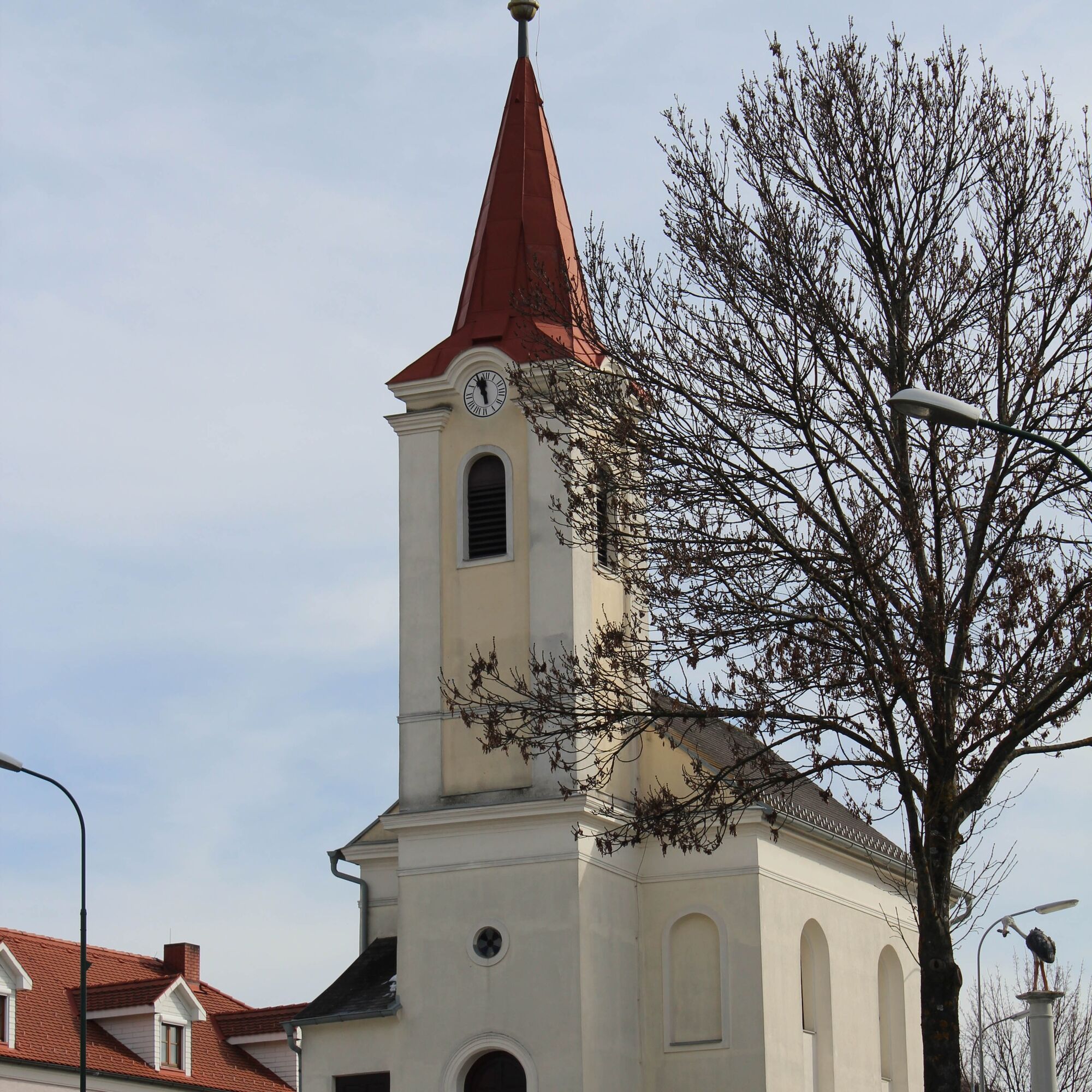
The starting point of the „Old Craft Trail“ is the church square in Unterkohlstätten, where ample parking is available. Before starting the route, here is some information about the dreamy village of Unterkohlstätten....
The starting point of the „Old Craft Trail“ is the church square in Unterkohlstätten, where ample parking is available. Before starting the route, here is some information about the dreamy village of Unterkohlstätten. Unterkohlstätten was first documented in 1597. The village nestles between the foothills of the Günser Gebirge and the Bernsteiner Gebirge and lies at an altitude of 502 m above sea level. The wonderfully beautiful, hilly landscape with well-maintained meadows and forests, unique fauna and flora is located within the nature reserve of the Geschriebenstein Nature Park.
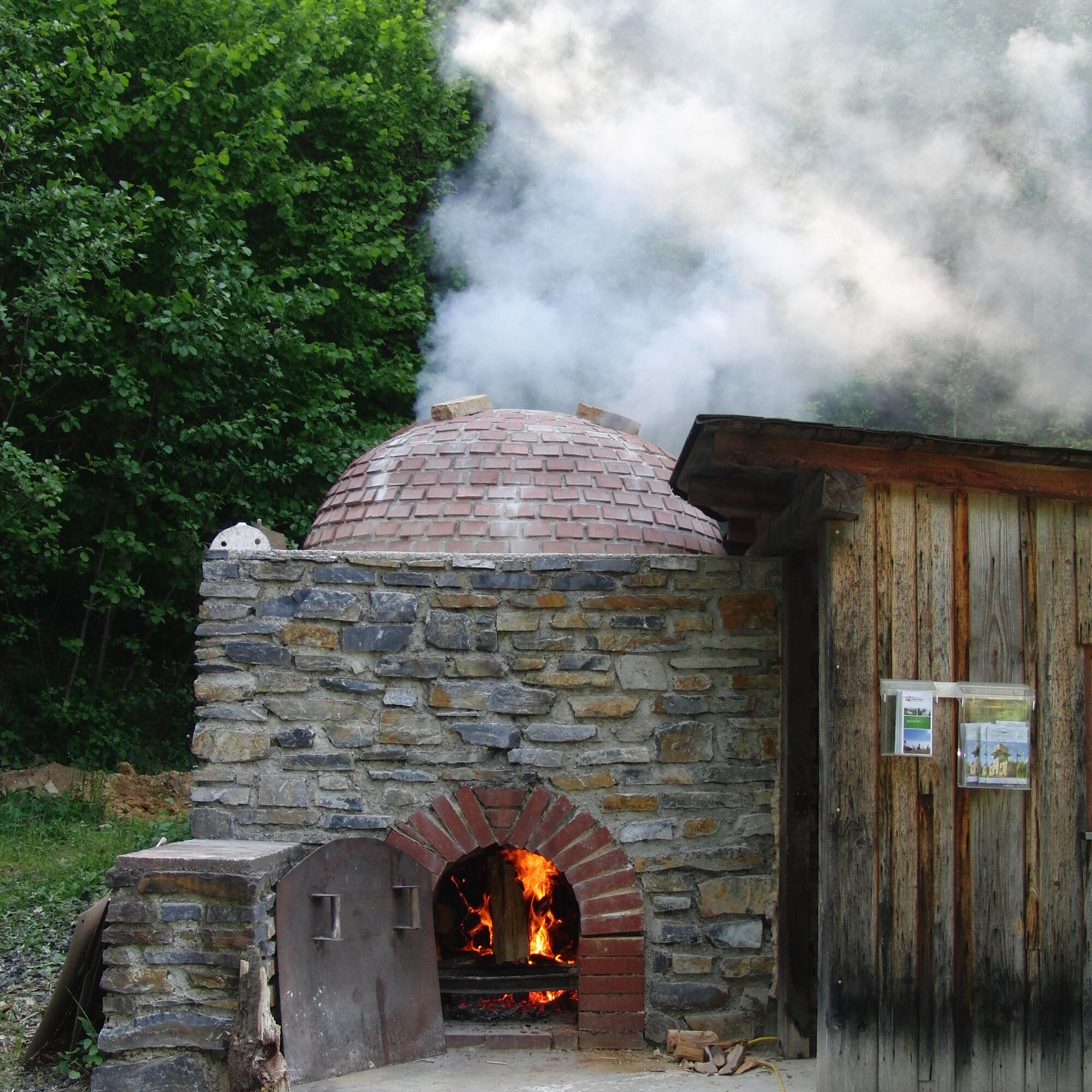
The craft of lime burning was practiced by some villagers for many years and provided them with a small additional income. Today, most of the original lime kilns have fallen into disrepair and the craft is largely extinct. In a forested area near the village, the nature park association has constructed a faithful and fully functional lime kiln, which is documented with information boards showing how arduous the times and the craft of lime burning were.
Another highlight of the "Old Craft Trail" is the demonstration charcoal pile and the charcoal burner’s hut in Oberkohlstätten. Here too, the old craft of charcoal burning is well explained on information boards. From the charcoal burner’s site, there is a wonderful panoramic view of the Hochwechsel and the Bernsteiner Gebirge.
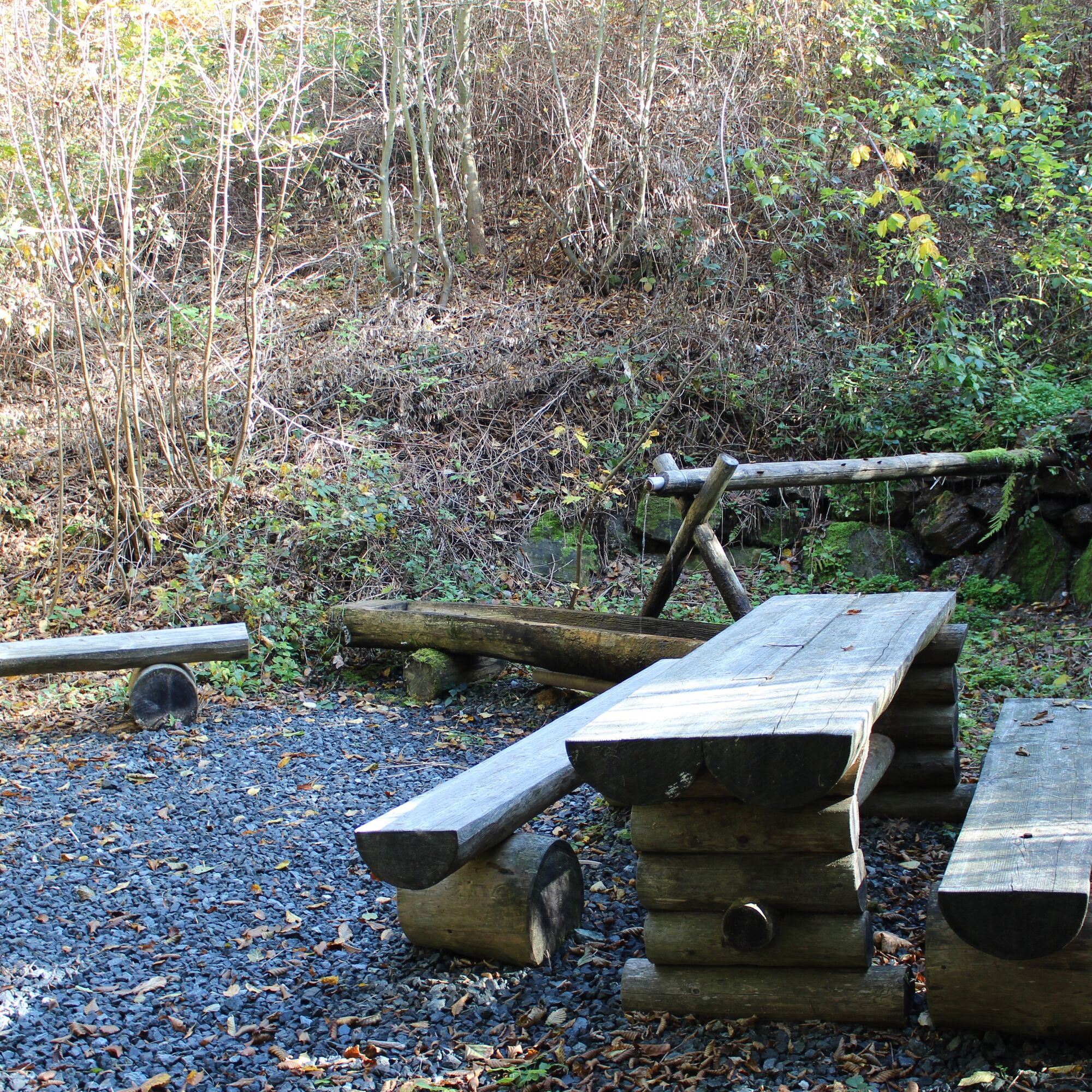
Now it’s time for a short break. The head chef at Kohlstätterhof Kappel serves regional dishes and excellent wines from the region. After a relaxing rest, the hike continues. The view along this section of the route is breathtaking! The circular route then leads back to Unterkohlstätten, past untouched forest streams to the lime kiln of Unterkohlstätten. Visitors get a brief overview of the now extinct craft of lime burning. The last section of the route offers two places to rest - the Bründl - with its clear spring water, and the idyll of a wetland biotope. There you should reflect once more on the hike. Now it is just a few steps back to the church square in Unterkohlstätten - the destination of the hike.
At the Gasthaus Holzschuster on the church square, cold drinks and culinary delicacies from the region await the hikers of the "Old Craft Tour"!


Tak
Hiking shoes, sufficient drinks, small snack, camera
Church square Unterkohlstätten
The old crafts of the municipality of Unterkohlstätten are vividly explained on information boards both at the charcoal kiln and at the lime kiln!

Popularne wycieczki w okolicy
-
4,3
Railway track bike path
średniJazda na rowerze 41,6 km -
4,6
S21 Peace Circular Route
światłoWędrówka 11,4 km -
4,0
"Weg der Blicke"
światłoWędrówka 5,86 km -
4,5
Bad Schönau - Hutwisch
światłoWędrówka 9,99 km -
4,4
BAD-SCHÖNAU Hutwisch und wieder zurück 20220611
średniWędrówka 10,8 km -
4,4
B53 Edelserpentin
średniJazda na rowerze 23,5 km -
4,4
Summit hiking route
ciężkiWędrówka 20,6 km -
4,8
Bakabu children's adventure trail to Hutwisch
średniTrasa tematyczna 5,42 km -
5,0
Südburgenländischer Bahntrassen-Radweg
światłoJazda na rowerze 67 km -
4,1
Geschriebenstein
światłoWędrówka 3,90 km
Wędrówki i tropienie


Nie przegap ofert i inspiracji na następne wakacje
Twój adres e-mail została dodana do listy mailingowej.