






alpannonia - Regional Route Bad Tatzmannsdorf - Aschau
From the spa town of Bad Tatzmannsdorf, this route follows the path past the open-air museum to Jormannsdorf and the school town of Oberschützen. We reach the old railroad station, pass between the grammar...
From the spa town of Bad Tatzmannsdorf, this route follows the path past the open-air museum to Jormannsdorf and the school town of Oberschützen. We reach the old railroad station, pass between the grammar school and the cultural center to Willersdorf, where we take our way into the Willersdorf gorge. This first part of the main alpannonia trail ends at the Willersdorf/ Aschau/ Gschaidt junction.
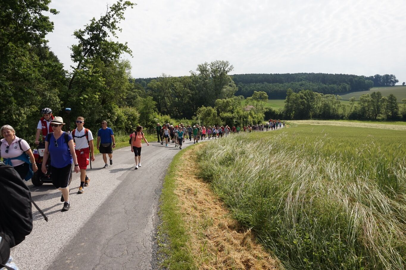

Starting from the main square, we walk through the adjoining park and reach the Open-Air Museum. Between this and the football field, we continue walking, leave the public swimming pool on the left, and reach the federal road. Shortly before the petrol station, we cross this heavily trafficked road and enter the town of Jormannsdorf opposite. Along the street through the town, we pass St. Anna Church and turn left at a junction. At the last houses, a climb through the forest begins, at the end of which we already reach Oberschützen. Here, we keep left on the street and reach the old train station. Here, we cross to the opposite side of the street through a short footpath to the center of Oberschützen. At the large junction (small grocery store and inn on the left, Raiffeisen Bank and large school bus stop on the right), we turn right and come to the cultural center and the federal secondary school. After this cultural center, we turn right again and reach the road to Aschau. We follow this road to the end of the town and turn left at the last house to a small stream. We follow this field path to a bridge, which we cross and brings us to Willersdorf. Passing the local history museum and the old Catholic branch church, we reach the main square with its evangelical school church and follow the Willersbach northwards. Already at the town boundary, we enter the forest and find ourselves in the Willersdorfer Gorge. We walk deeper and deeper into this fascinating forest landscape and only have the option to leave the gorge towards Aschau at a clearing.
Hiking equipment: sturdy footwear, clothing according to weather conditions
Don't forget refreshments!
various bus connections to Bad Tatzmannsdorf
Parking options a few meters south of the main square, on the "Hauptstraße"
or at the Open-Air Museum
Bad Tatzmannsdorf:
Bread Museum
Open-Air Museum
Radio Museum
Oberschützen
old train station
Willersdorf:
Local History Museum
the impressive natural experience of the Willersdorfer Gorge
Uzyskaj wgląd
Zawsze na żywo z ponad 9 500 kamer internetowych. bergfex Jako użytkownik Pro, możesz teraz zobaczyć odpowiednie kamery internetowe dla wielu wycieczek w aplikacji wycieczki od. Pozwala to na bezpośredni podgląd aktualnych warunków.
Popularne wycieczki w okolicy
-
4,6
S21 Peace Circular Route
światłoWędrówka 11,4 km -
4,3
Railway track bike path
średniJazda na rowerze 41,6 km -
4,2
"Weg der Blicke"
światłoWędrówka 5,86 km -
4,4
Bad Schönau - Hutwisch
światłoWędrówka 9,99 km -
4,4
B53 Edelserpentin
średniJazda na rowerze 23,5 km -
4,4
BAD-SCHÖNAU Hutwisch und wieder zurück 20220611
średniWędrówka 10,8 km -
4,8
Bakabu children's adventure trail to Hutwisch
średniTrasa tematyczna 5,42 km -
4,7
S24 Neustiftrunde
Wędrówka 9,22 km -
5,0
Rundwanderweg, Rohrbach-Kroisegg-Kroisbach-Neustift-Lafnitz-Rohrbach
średniWędrówka 12,1 km -
4,5
Glasgraben route
średniWędrówka 12,9 km
Wędrówki i tropienie


Nie przegap ofert i inspiracji na następne wakacje
Twój adres e-mail została dodana do listy mailingowej.





