







Surrounded by magnificent landscapes and legends – Hiking on the E4: Stage Rohrbach - Lockenhaus
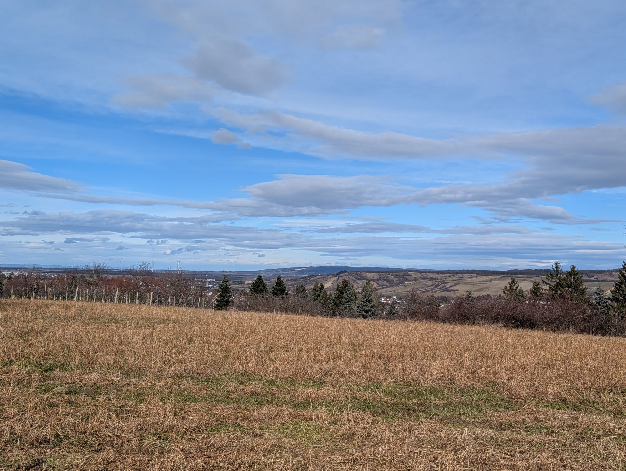
Where else do you have the opportunity to experience 3 nature parks and their diversity on a single hike? At the Rohrbacher Teichwiesen nature reserve, bird watchers will find what they are looking for;...
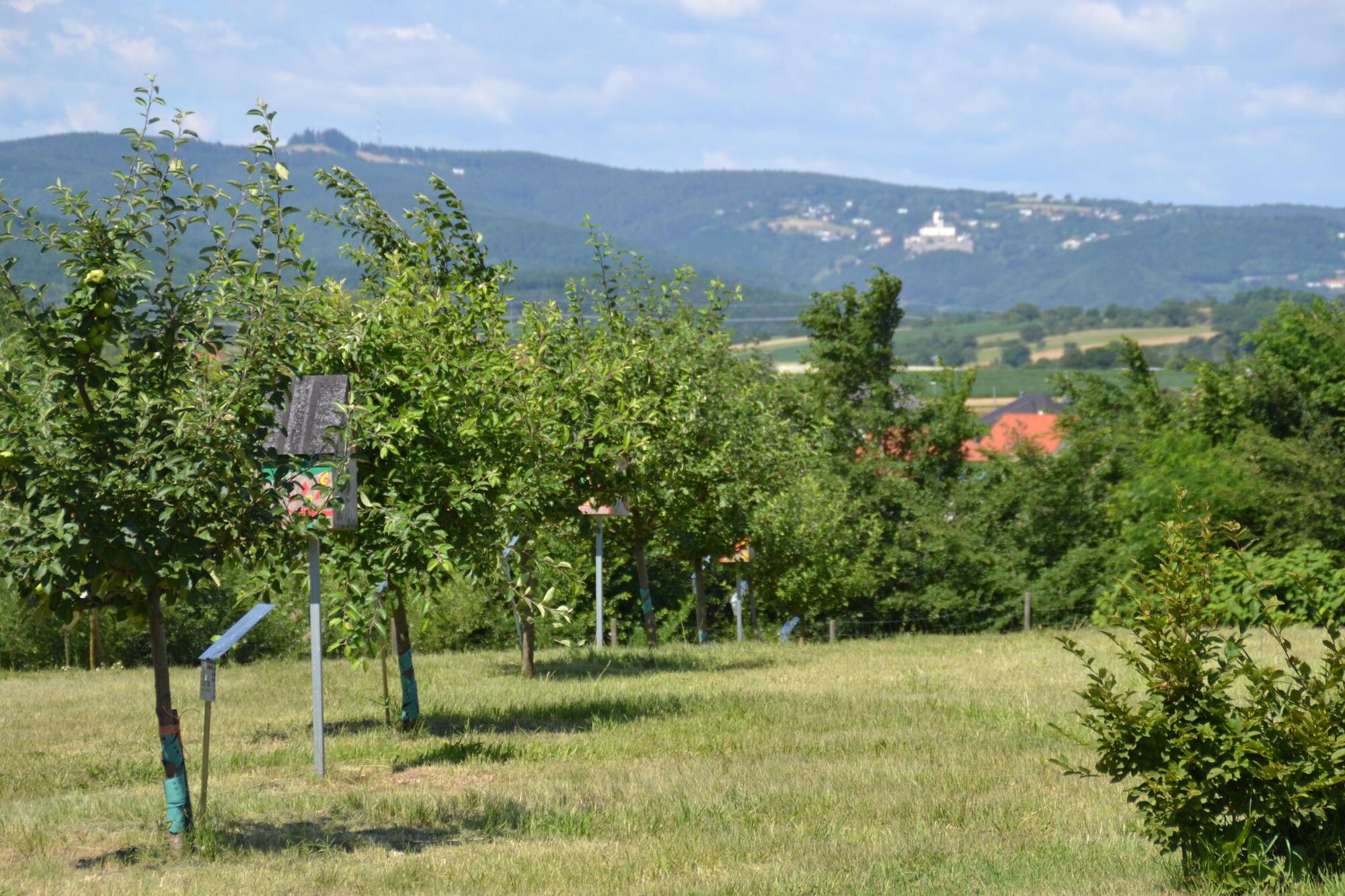
Where else do you have the opportunity to experience 3 nature parks and their diversity on a single hike? At the Rohrbacher Teichwiesen nature reserve, bird watchers will find what they are looking for; it is worth observing rare birds such as the Western Marsh Harrier, Night Heron, and Black Woodpecker. Dittany, iris, and fringed gentian are very rare, yet these plants grow along the path here. The historic Herrentisch near Sieggraben at the Hungarian border, where Burgenland is only 5 kilometers wide, has many exciting stories to tell. Here the "lords" of Rohrbach, Sieggraben, Lackenbach, and Ödenburg met to conduct their business.
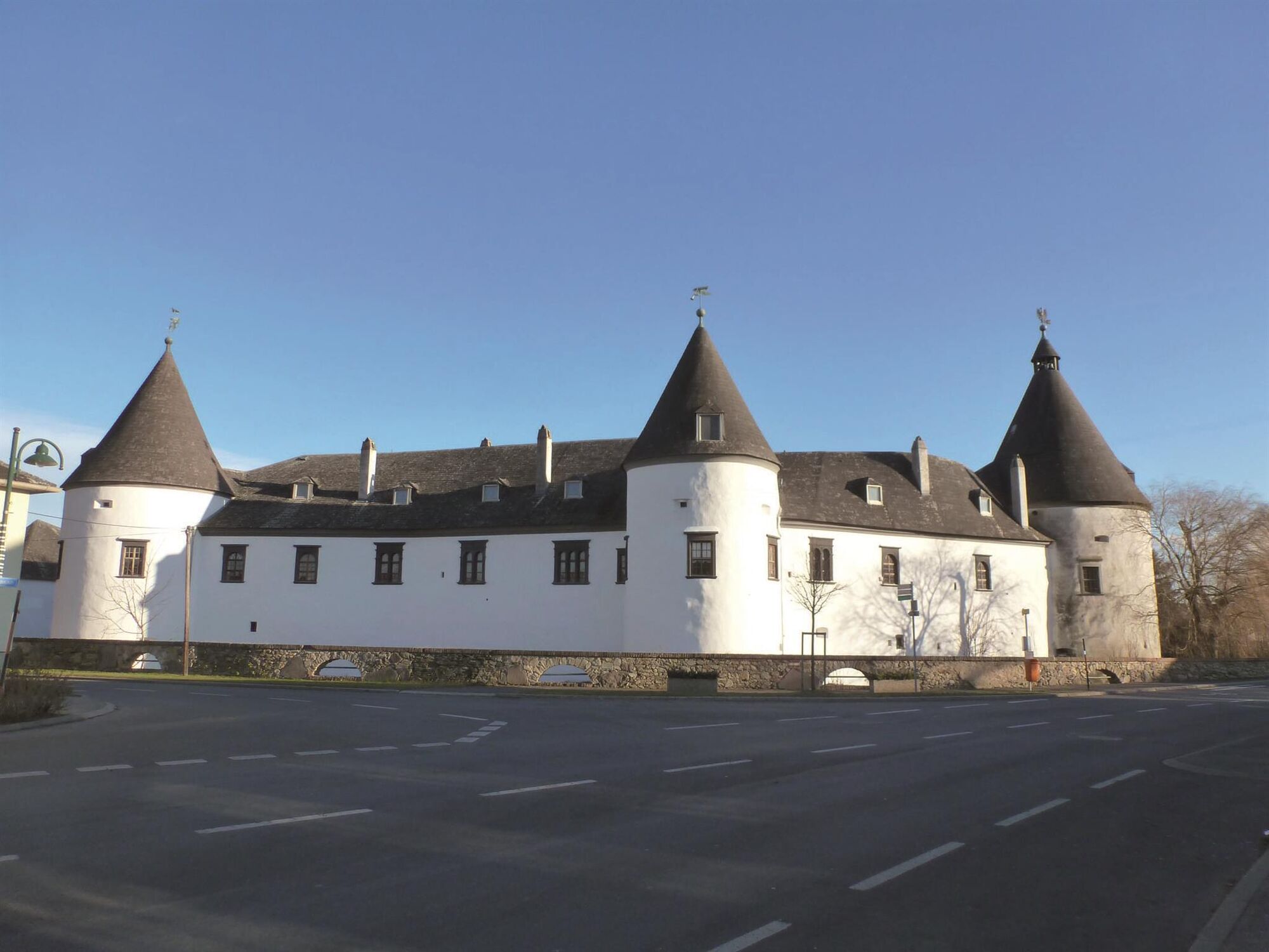
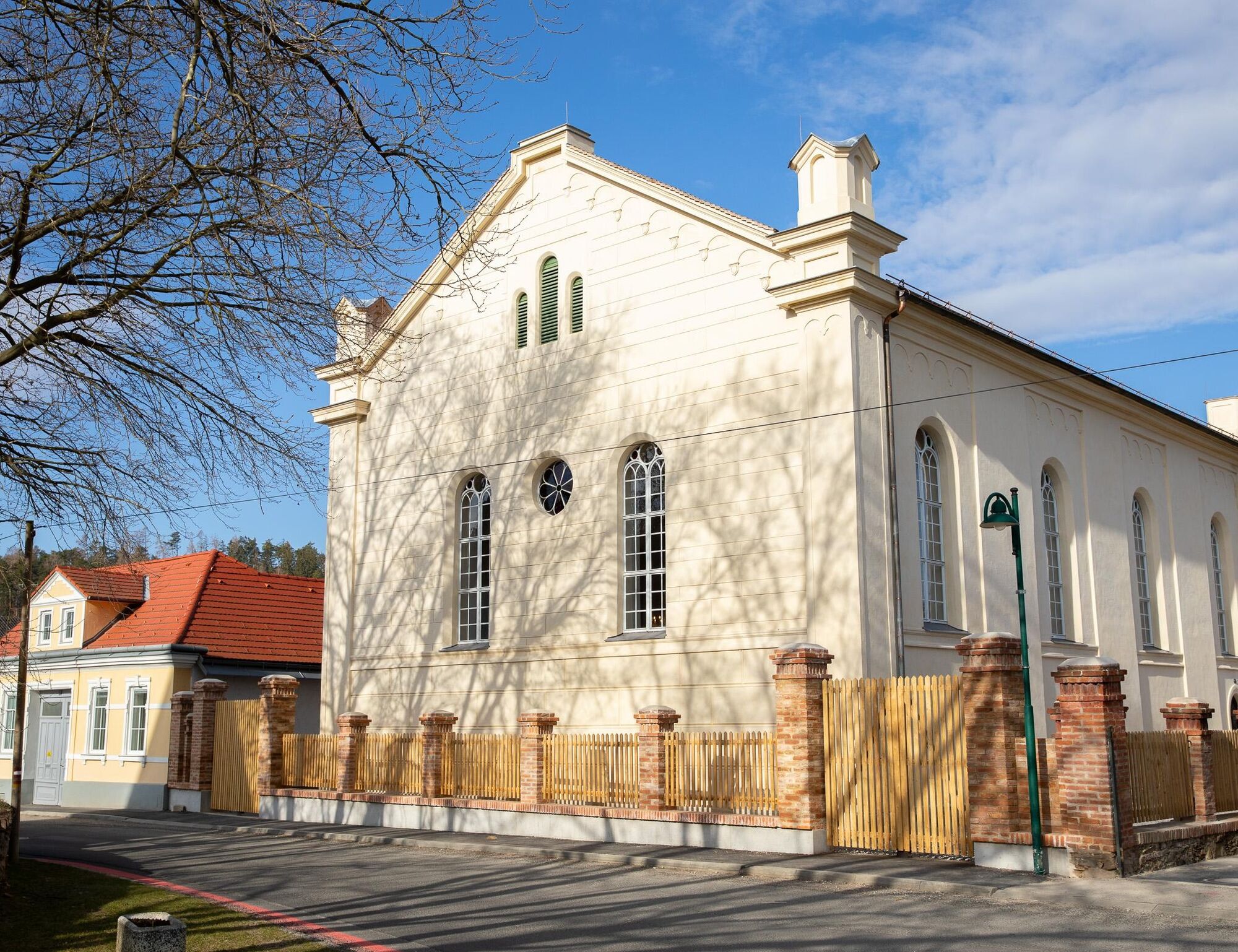
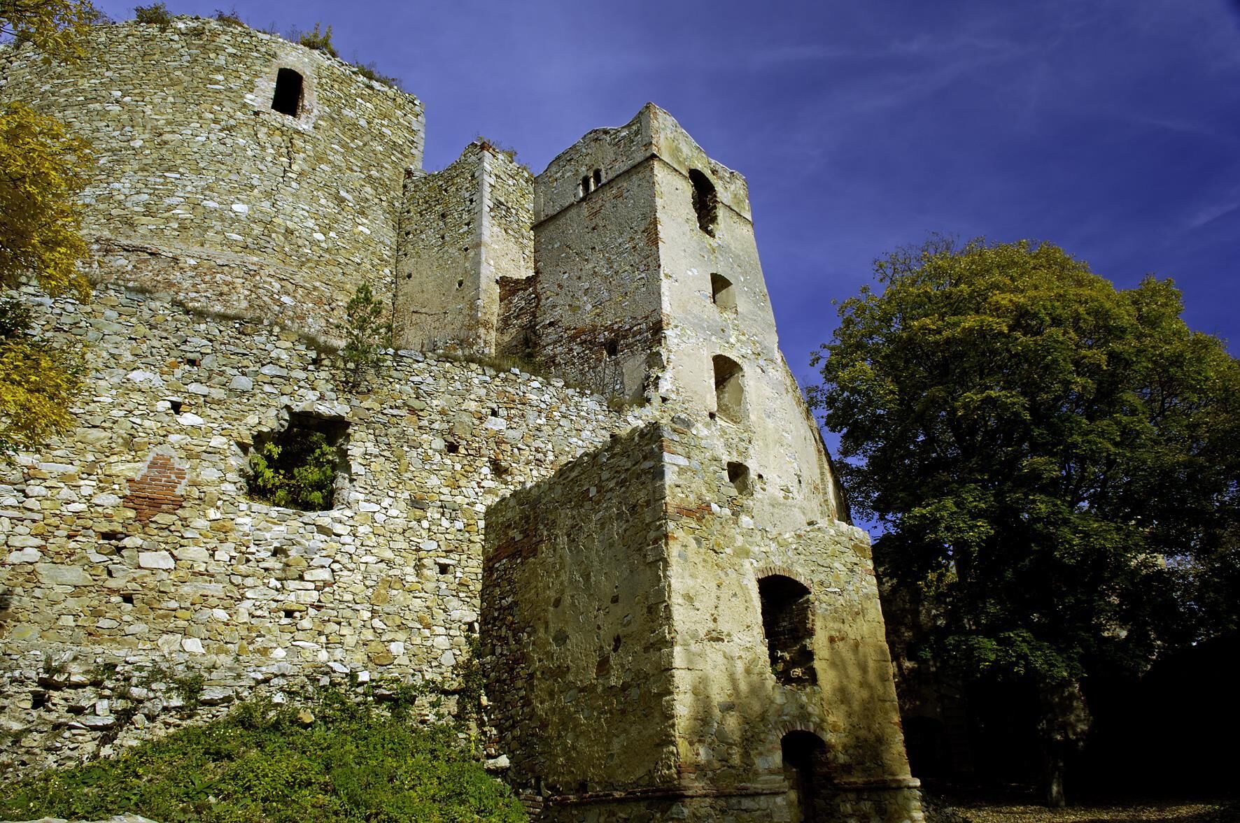
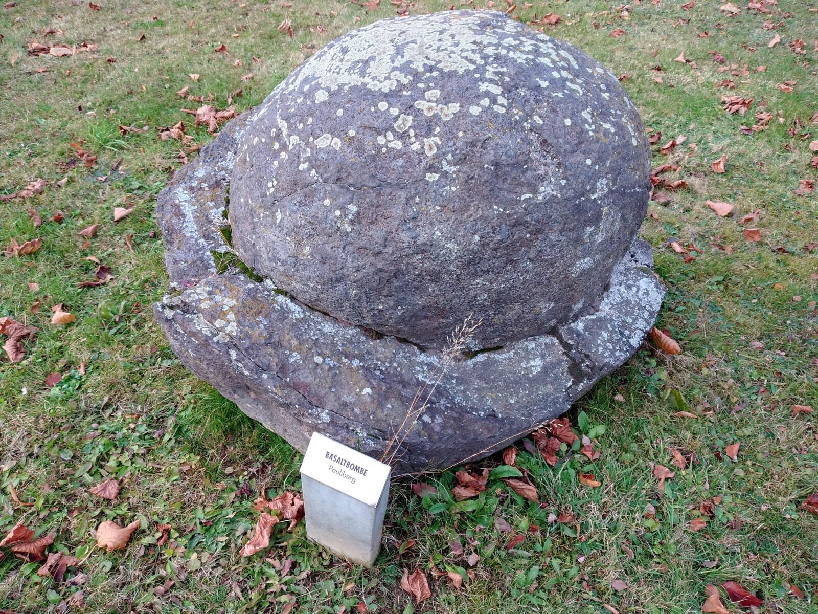
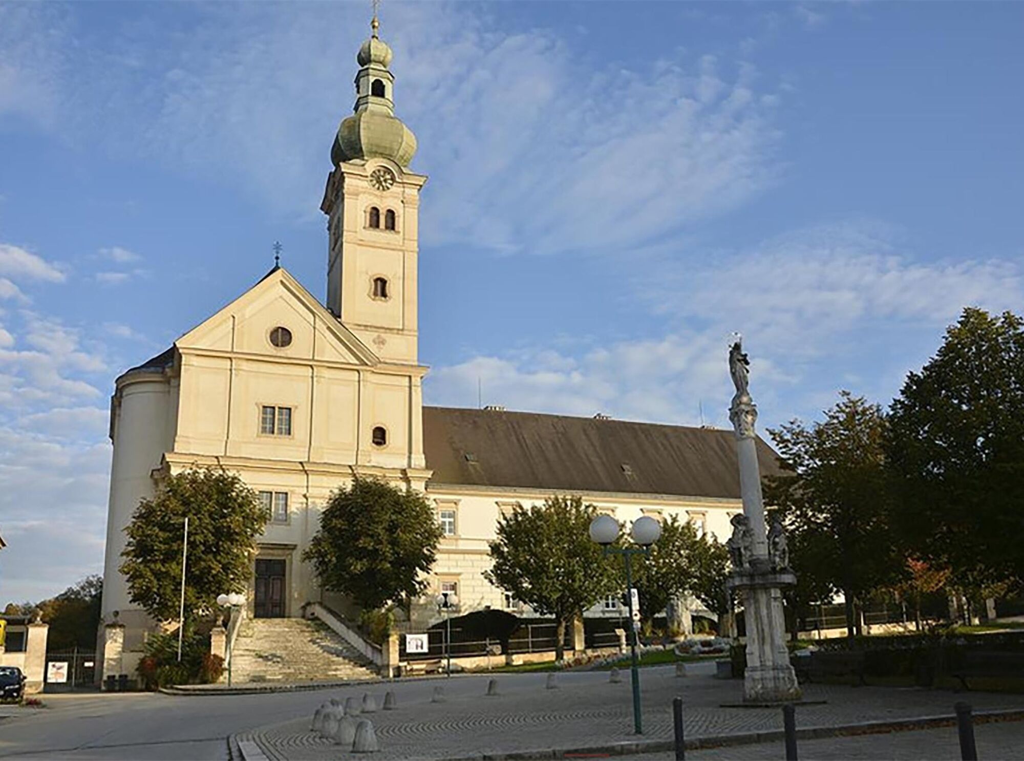
The Landseer Mountains offer border experiences between Celtic princes and Vulcanians. You will encounter the Celts in the Celtic Village Schwarzenbach. Kobersdorf is known for its mineral water, the castle plays, and the Jewish synagogue. Nestled in the beautiful landscape of the Landseer Mountains lies the Landsee castle ruin, which already inspired the local poet Mida Huber to produce resonant and mystical words. Nearby lies Pauliberg, a mountain of volcanic origin with its large basalt quarry. Basalt is one of the hardest rocks and, besides road construction, serves as a popular decorative garden design material.
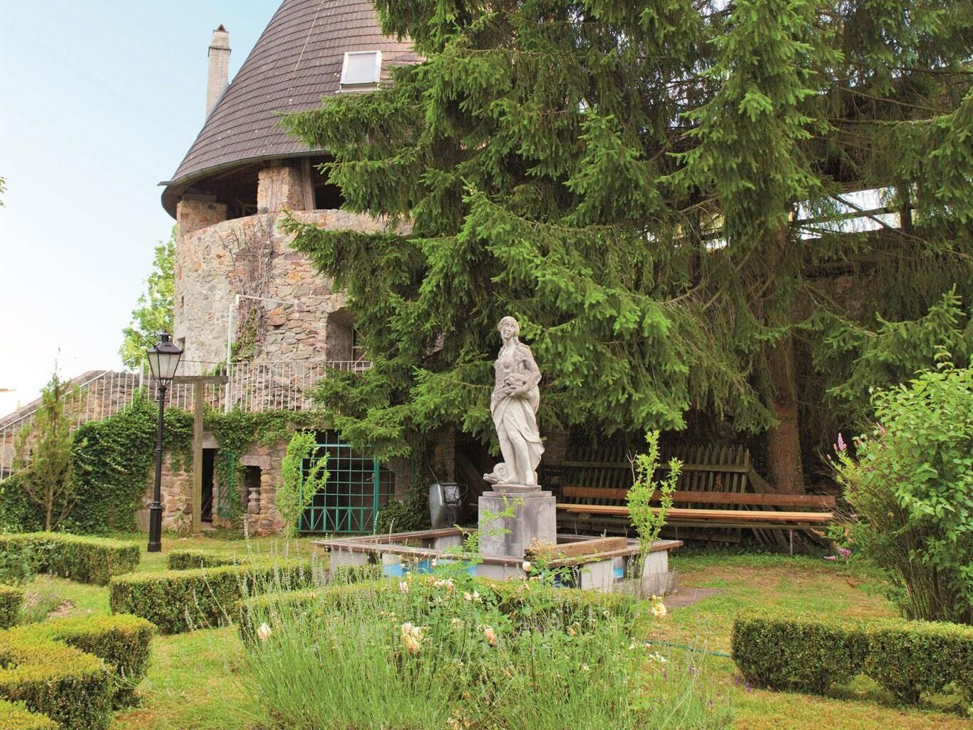
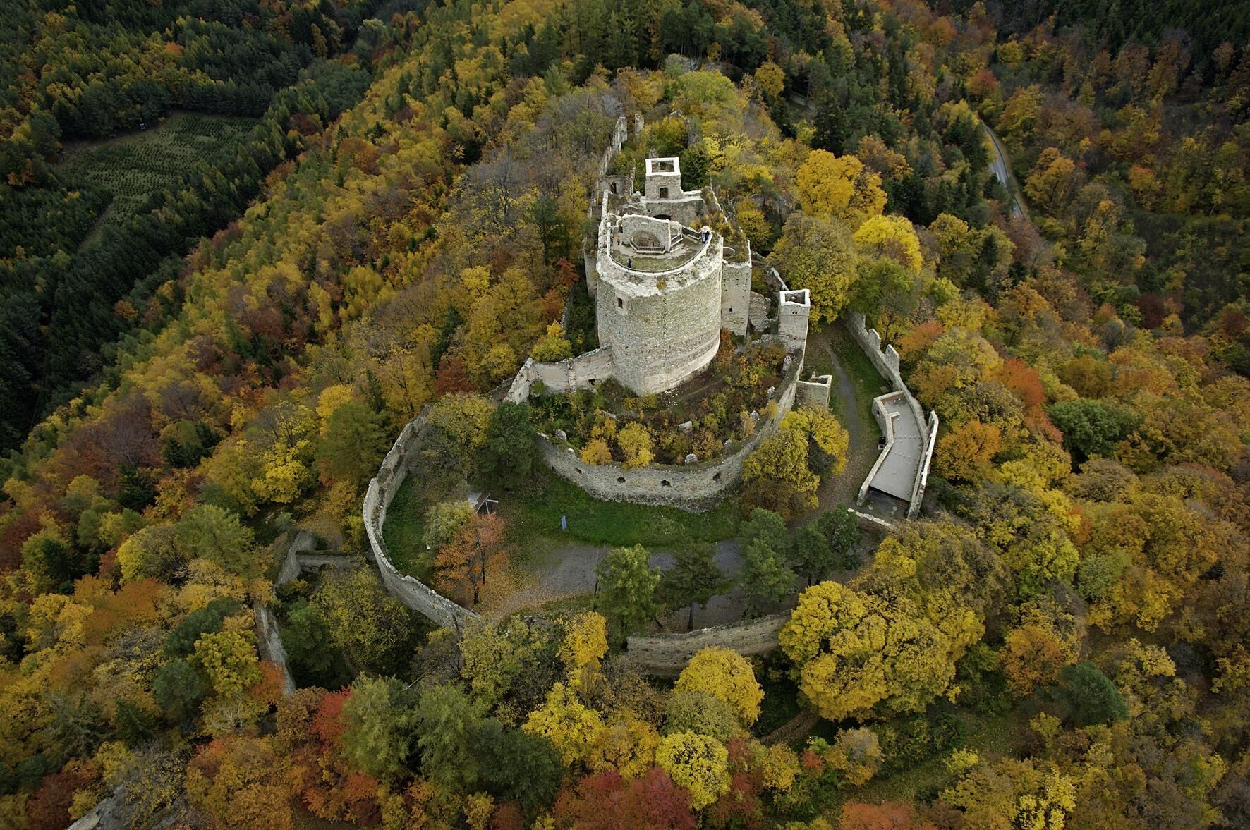
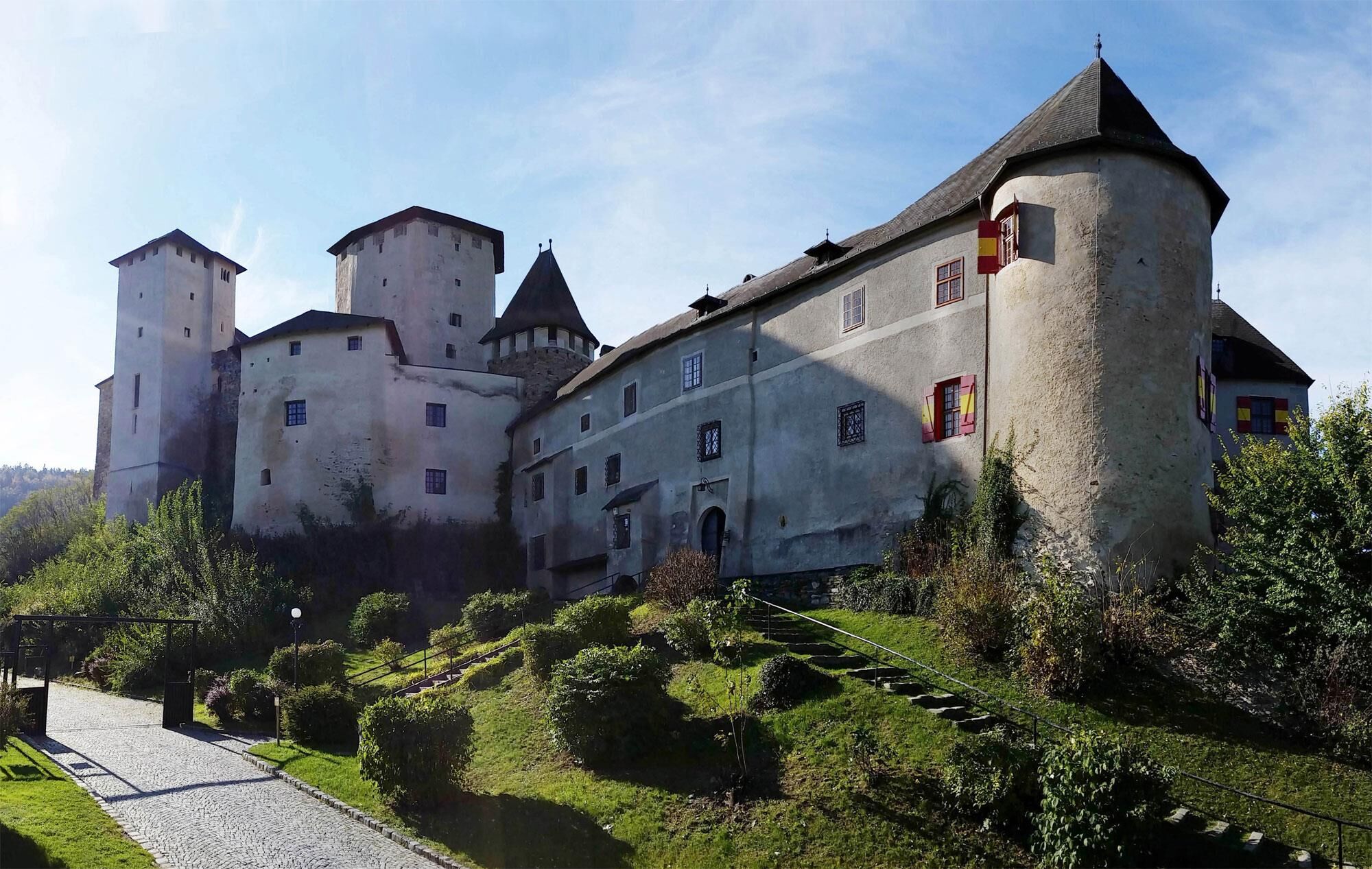
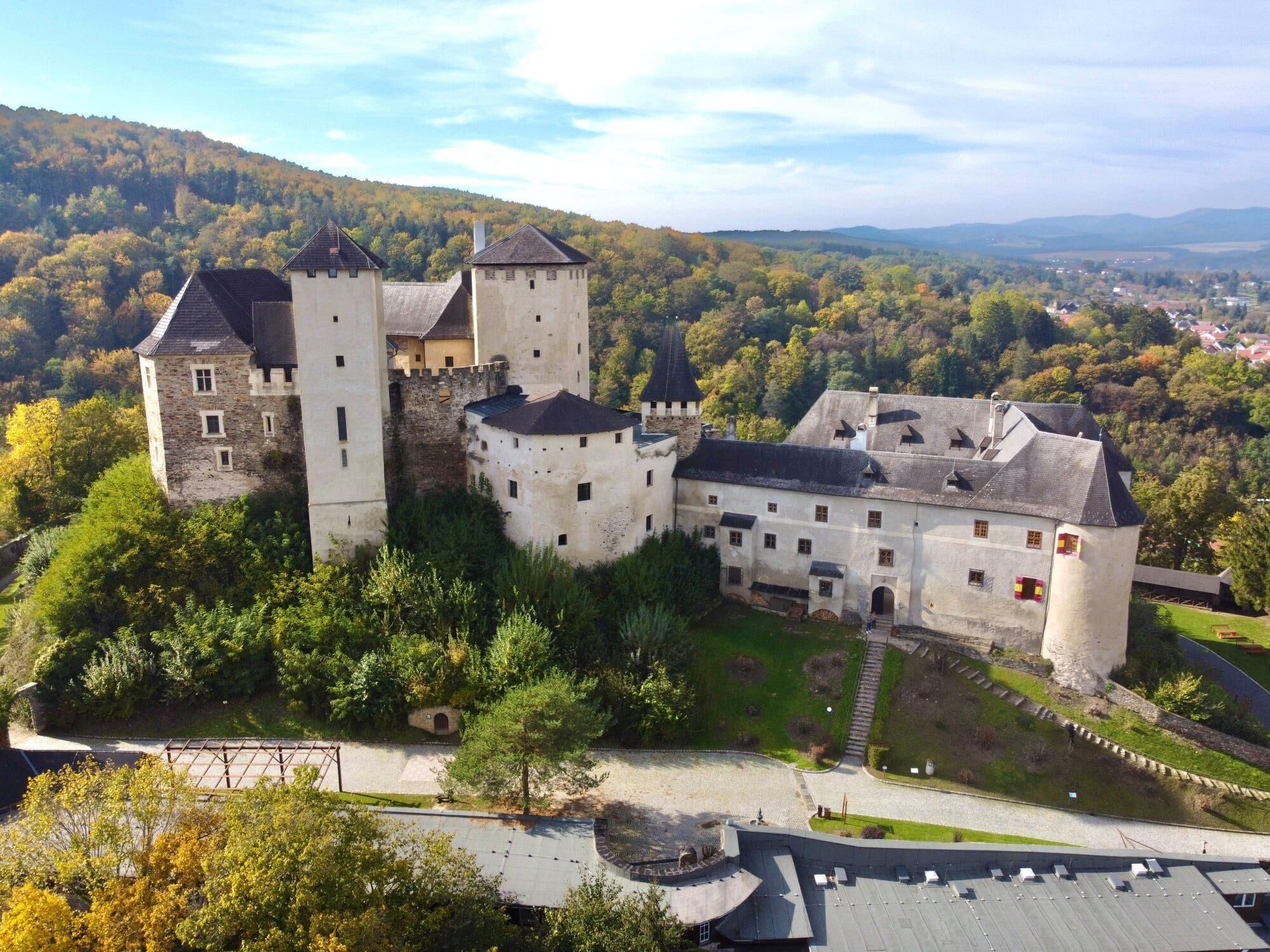
You now continue to Pringsdorf, where the "basket weavers" used to live. The so-called "hump basket" was especially popular. It was an excellent helper for carrying heavy loads. The path leads you past Hochstraße to Lockenhaus. Where Burgenland reaches toward the sky, you will already encounter the third nature park, Geschriebenstein Ìrottkö. Lockenhaus Castle is a combination of historic ambiance and active event packages. At Lockenhaus Castle, you will be transported into the world of the Knights Templar and the Blood Countess. The Templars pursued the ideals of knights and monks.
To maintain eternal youth, as legend has it, the Blood Countess Elisabeth Báthory bathed in virgin blood.


You will walk about 21 km on gravel paths, about 10 km on natural trails, about 14 km on asphalt, about 5 km on roads, and about 1.9 km on footpaths
Good footwear and hiking clothing, blister plasters, drinking water, snacks, mobile phone, sun and rain protection
A1, A2, A23, A3, S4, S31
Federal and state roads
by train to Marz/Rohrbach station
by VOR bus
Free on site
The ideal hiking season is from spring to autumn.
Rohrbacher Teichwiesen, Herrentisch, Celtic Village Schwarzenbach, Elisabeth Spring Kobersdorf, Kobersdorf Castle, Synagogue in Kobersdorf, Landsee Ruins, Pauliberg, and Lockenhaus Castle are all definitely worth seeing. On the way between Piringsdorf and Hochstraß at the fork in the road, a change to route 07 Grenzlandweg, heading west, should be made. Please check the opening hours of the catering establishments in advance.
Uzyskaj wgląd Zawsze na żywo z ponad 9 500 kamer internetowych. bergfex Jako użytkownik Pro, możesz teraz zobaczyć odpowiednie kamery internetowe dla wielu wycieczek w aplikacji wycieczki od. Pozwala to na bezpośredni podgląd aktualnych warunków. Popularne wycieczki w okolicy
- 4,2
"Weg der Blicke"
światłoWędrówka 5,86 km - 4,4
Bad Schönau - Hutwisch
światłoWędrówka 9,99 km - 4,0
B40 Red Wine Cycle Route
średniJazda na rowerze 38,7 km - 4,4
BAD-SCHÖNAU Hutwisch und wieder zurück 20220611
średniWędrówka 10,8 km - 4,8
Bakabu children's adventure trail to Hutwisch
średniTrasa tematyczna 5,42 km - 2,9
Sonnenland Draisinentour
światłoJazda na rowerze 23,0 km - 4,8
B41 Zöberntal-Rabnitztal cycle trail
średniJazda na rowerze 40,7 km - 3,1
Circular hike to the Herrentisch
średniWędrówka 13,7 km - 4,6
Petersbaumgarten/Kienegg/Windhoh Runde
światłoWędrówka 9,86 km - 3,0
R1 anniversary cycle path
ciężkiKolarstwo długodystansowe 272,3 km
Wędrówki i tropienie


Nie przegap ofert i inspiracji na następne wakacje
Twój adres e-mail została dodana do listy mailingowej.





